



Belvin Olasov is the co-founder and director of the Charleston Climate Coalition. His background is in creative writing and he believes in bringing vision-making and art to climate work.

Sydney Bollinger (she/her) is a writer and editor affiliated with Surge and The Changing Times. She aims to connect communities to climate action through narrative and collaborative storytelling. Find her online @sydboll.

Torrey Sanders is on staff with the Coastal Conservation League. An attorney by trade, she is passionate about experiencing joy within the environmental movement mostly by riding her bicycle and eating local fruit.
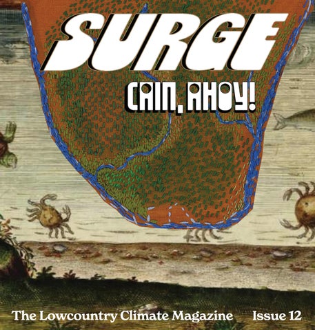
Surge Magazine, the Lowcountry Climate Magazine, features deep-dives into climate action stories, profiles on ecofuturist thinkers, and ecological art and poetry.
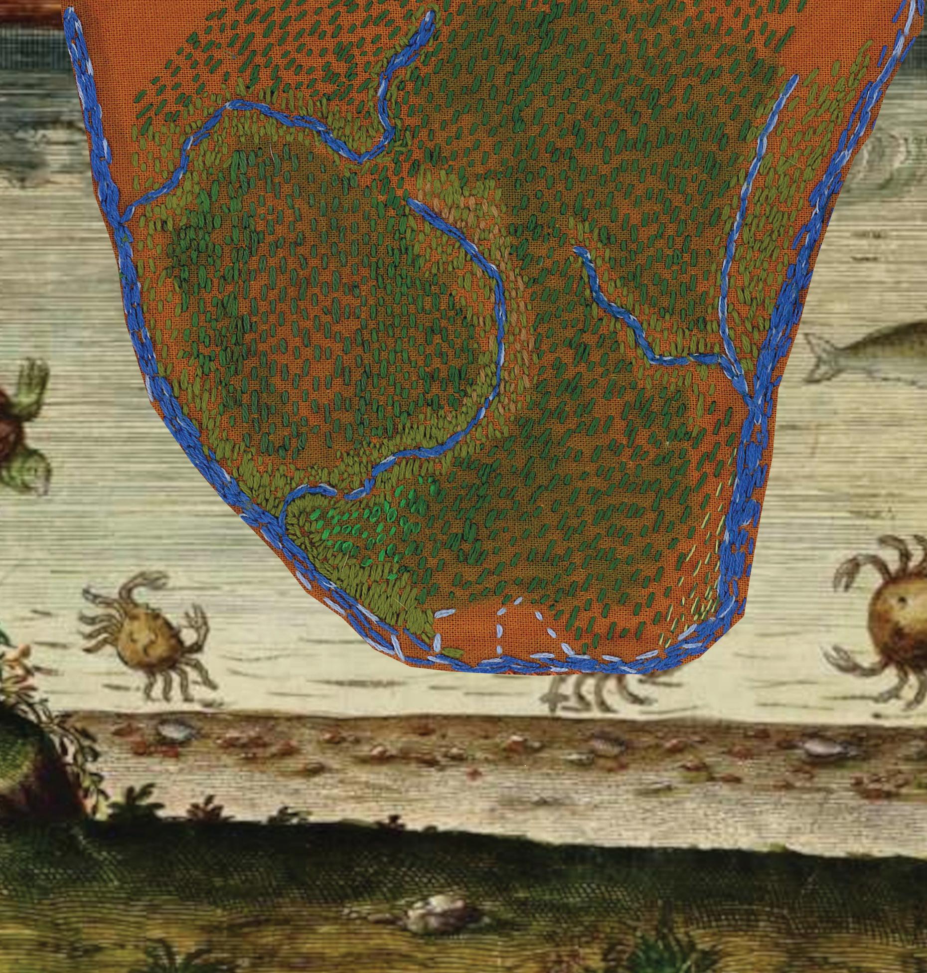
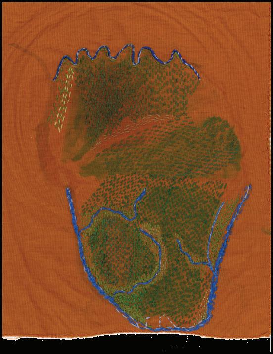
We're proud to present this special issue diving into the Cainhoy peninsula and its potential development by the Guggenheim family. We hope you'll come away with a new understanding of one of the most consequential fights for nature preservation in in the Lowcountry.

Thank you to our friends at for teaming up on this issue.
WRITTEN BY BELVIN OLASOV
The Charleston peninsula has a sister.
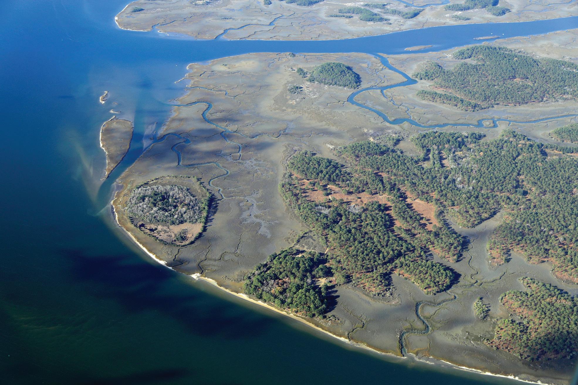
Twenty miles northeast along the Wando River, there's a beautiful, still largely wild piece of land known as the Cainhoy Peninsula. When Charleston was growing into a major port city, Cainhoy was a satellite, playing support with its brickyards and plantations. When Charleston was beginning to modernize at the turn of the 20th century, Cainhoy was largely the province of two societies: the many small Black communities put together by freedmen in the late 1800s and the estate of Henry F. Guggenheim.
Guggenheim, flush with the riches of the family whose mining empire once controlled most of the world’s copper, silver, and lead, bought the 15,000 acres that are modern day Daniel Island and Cainhoy in the mid-20th century and preserved them well. His Cain Hoy Plantation featured some logging, but largely he kept it as hunting grounds. That meant, until the 526 extension and annexation and development of Daniel Island, Cainhoy was allowed to remain in a state of original wildness that much of the rest of the Charleston area wasn’t.
“It was overshadowed by Charleston. Charleston has a huge historic footprint,” said
Herb Frazier, author of Behind God’s Back, the preeminent history book on the Cainhoy area. “Up until 1992, people by and large didn’t even know Cainhoy was there.”
But no peace lasts forever. After Henry F. Guggenheim passed, the rest of the family soon began planning to develop the land. They began with developing Daniel Island, and then turned their eye to the 9000 acres of the Cainhoy peninsula with their palns for “Point Hope.”
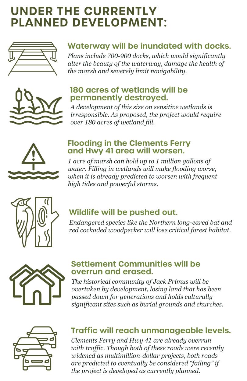
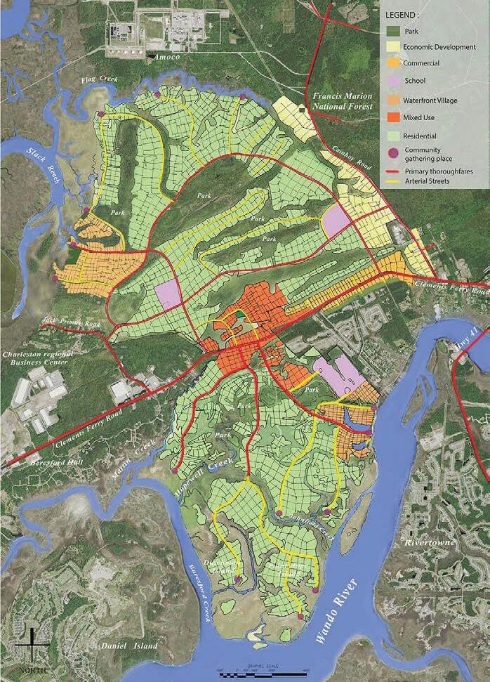
The vision is for what is essentially a new small city down past Daniel Island. With 12,000 new residential units, it would be one of the largest new developments we've seen in the area. Which raises questions, like: how will the already overburdened Clements Ferry Road and Highway 41 deal with that kind of commuter influx? What sort of impact would this have on the wildlife that calls those 9000 acres home? And how much of the land they’re looking to build on would be critical, water-absorbing wetlands?
The Coastal Conservation League (co-producer of this issue) and allies like the Southern Environmental Law Center, Charleston Waterkeeper, and the South Carolina Wildlife Federation have argued for years that the scope and environmental impact of the development is unacceptable. If the plans continue as is, it would represent a loss of nearly 200 acres of wetlands, one of the largest single losses in modern Charleston history.
They filed a lawsuit in 2022 on the grounds that the federal Clean Water Act prohibits filling wetlands if there’s a less environmentally damaging alternative – so the 200 acres of lost wetlands, as well as the fact that 45% of the planned housing would be in the 50 year floodplain, would need to be mitigated by the developers.
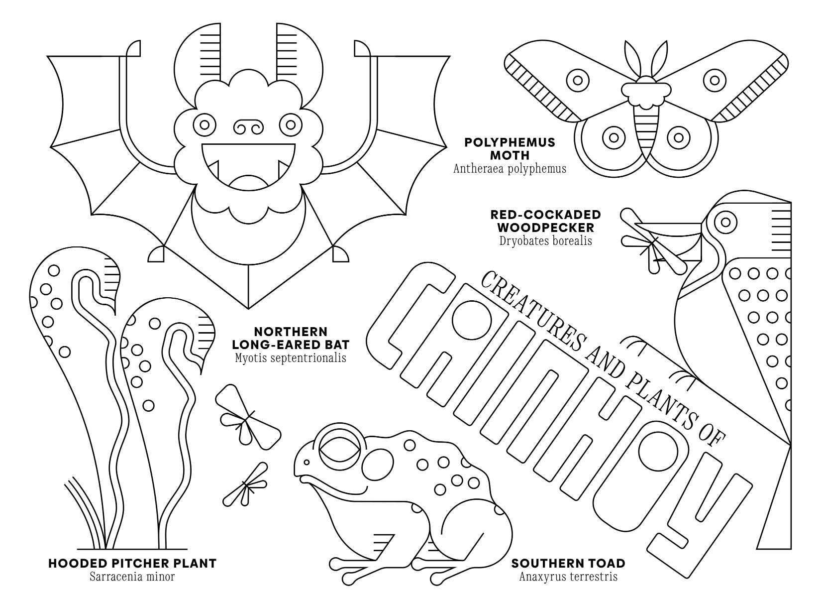
The environmental coalition also opposes the Army Corps of Engineers permit allowing the “take” of over 100 red-cockaded woodpeckers (which bond to their tree homes and will likely
die if displaced); the habitat destruction of waterbirds like great egrets and wood storks; and the disregard of wildlife found in the area of the Francis Marion Forest like northern long-eared bats and frosted flatwood salamanders. They see it as a dereliction of the Endangered Species Act, and another example of wildlife welfare being disregarded in the wake of development.
The legal fight continues, but may be winding down. The wildlife challenges have been struck down, and the Clean Water Act challenge is up for final review this fall. The assembled environmental groups still believe in the comments they made through SELC attorney Catherine Wannamaker in a 2024 hearing:
“The Cainhoy development is not your average new residential development,” Wanamaker said. “Rather it’s the creation of a new small city sprawling across 9,000 acres of wetlands and pristine forest habitat, bordering a national forest.”
The environmental coalition is now working on a way to thread the needle, a path forward for the development that they hope will preserve as much wetland and habitat as possible. They’re arguing for the Guggenheims to condense the footprint of the development, building denser, with less suburban sprawl, in order to conserve the critical land along Flagg Creek to the north, to not crowd out communities like Jack Primus that have lived there for generations, and to protect the wetlands in the southern edge of the peninsula.
They also have an alternative plan that would reduce the unit count to address the traffic bomb coming to the area – but they’re not too hopeful about winning that piece. There's an economic incentive to maximize development, after all. If the original plans go through, the Guggenheims stand to make an estimated $6 billion from a widely developed Cainhoy.
To make this happen, the coalition is pushing the City of Charleston to bring the Guggenheims back to the table and adjust the 30-yearold development agreement. They argue that circumstances have changed – in a time of climate crisis and rising sea levels, the last thing we need is mass wetlands destruction that would cascade into more flooding downstream, or more car pollution from continued sprawl, or killing threatened species already vulnerable to climatedriven storms.
So we find ourselves at a crossroads: will this new small city be built sprawling over nature and wetlands to maximize profit for the Guggenheim family? Or will it be built denser to steward the land, water, and wildlife of the Lowcountry?
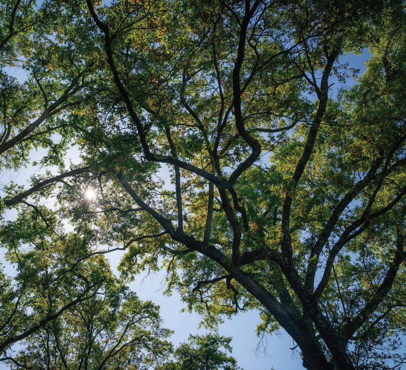
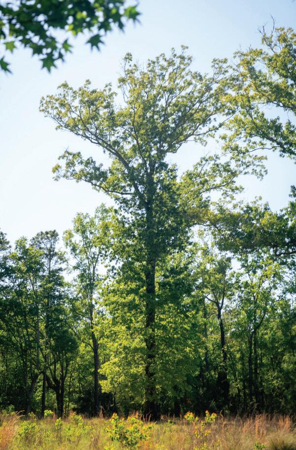
Nestled between the explosive development along Clements Ferry Road and the Francis Marion National Forest lies a gem of nature: the undeveloped tracts of the Cainhoy peninsula. Open expanses of longleaf pines and sandy ridges formed by ancient dune systems line the northwestern tracts. Home to red cockaded woodpeckers, these pine savannas are scattered with freshwater wetlands that offer refuge and breeding areas for salamanders, turtles, and frogs. Native wildflowers and grasses flourish and birds and insects flit through the air. At dusk, bats take flight, feasting on mosquitoes. Despite its serene beauty, this land is under imminent threat of being forever lost.
Today the land is facing an aggressive development agreement that proposes 12,000 residential units, as many as 900 docks clawing into the peninsula, additional commercial areas, stormwater ponds and miles upon miles of pavement for roads and driveways. What will become of the thousands of species of trees, grasses, flowers, birds, insects, and fish that call it home?
Sara Green, Executive Director of the SC Wildlife Federation knows this landscape well.
“Longleaf pine was throughout the Southeast, as far as Mississippi, maybe into North Carolina,” Green said. “Now it’s just in smaller pockets.”
The red-cockaded woodpecker, once an endangered species due to habitat loss, has rebounded precisely because places like Cainhoy still contain quality longleaf pine. The species' recovery, Green emphasizes, is inextricably linked to the habitat itself, not just the individual birds.
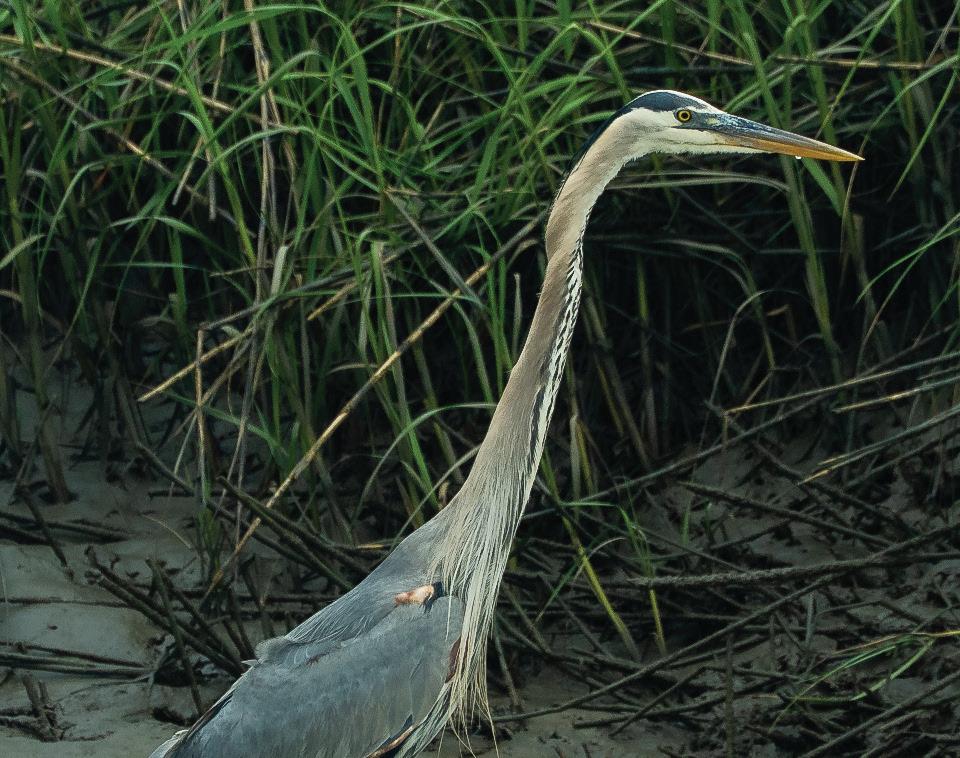
In the marshes fringing the peninsula, great blue herons and snowy egrets fish along the edges of the water at low tide next to clusters of oysters, while redfish weave into the marsh grass at high tide in search of fiddler crabs. Smaller creeks act as nurseries for both recreational and commercial species: blue crabs, shrimp, and a myriad of fish.
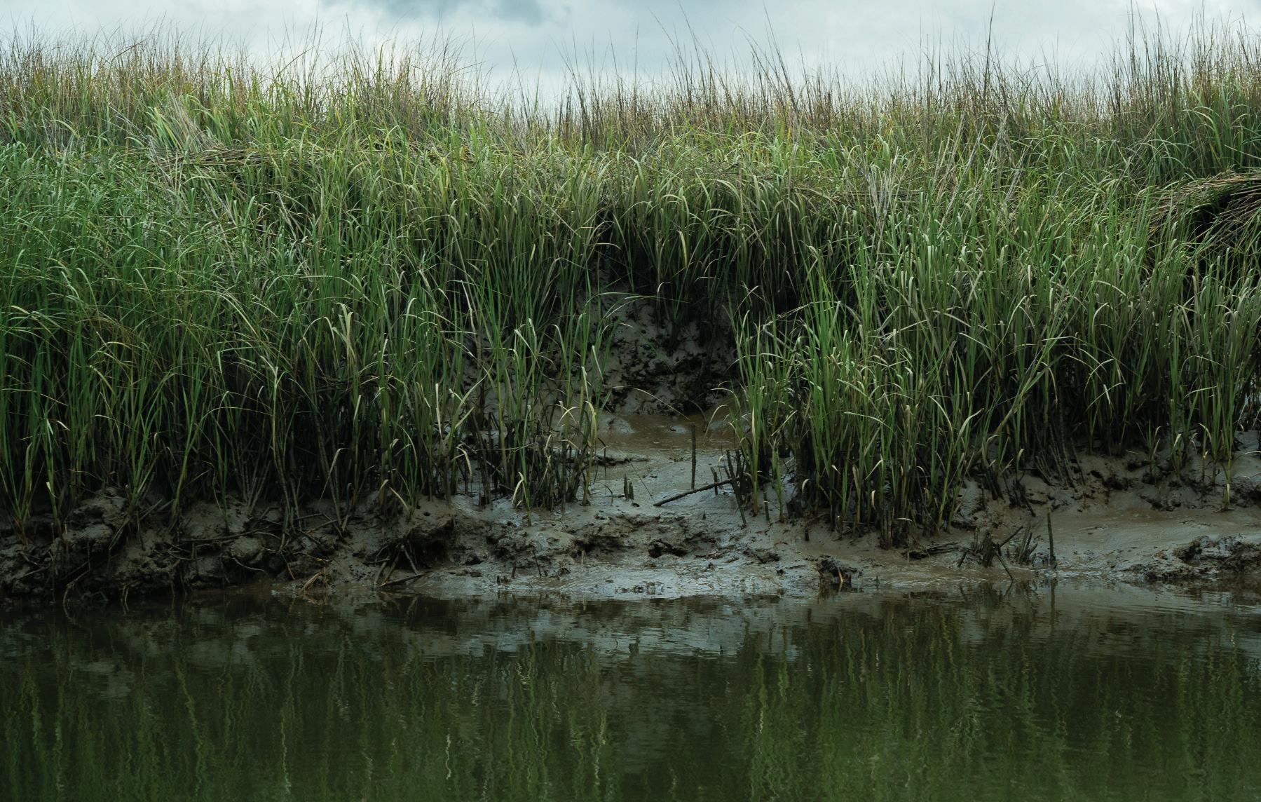
Wetland-dependent species are especially vulnerable. Amphibians require wetlands for their development but also need the surrounding uplands kept in a natural state, not simply manicured grass. Fill those wetlands, and floodwaters begin pushing into the marsh, changing salinity in ways that ripple through the food web.
“So much of that is tied to our seafood industry and recreational fishing,” Green said.
The threat from 700 to 900 proposed docks compounds. Green points out that whether docks are installed all at once, or over the course of a decade, the disruption is constant. And while docks attract fish, high volumes of boat traffic that follows ultimately drives them away.

“Boat traffic stirs sediment into the water column, which then reduces oxygen and adds silt in the smaller waterways,” Green said.
Oysters, which filter the water, can only do so much, and excessive sediment caused by the docks can kill them. Boat wakes also cause rapid erosion from the edges of marshes, causing even more degradation of the creeks.
The developers propose to preserve just 650 of the 9,000 acres of the Cainhoy peninsula’s wild areas. Called the Point Hope Nature Sanctuary, it will sit in the middle of new roads and housing.
What will become of the thousands of species that rely on the complex mosaic of habitats Cainhoy currently holds? And the chemicals that come with new suburban homes –fertilizers, pesticides, herbicides–will wash through the stormwater system into nearby creeks, adding toxic pollutants to the wading birds, fish, and crustaceans that remain. The question is not whether Cainhoy will change. It is how much will be left when the dust finally settles.

WRITTEN BY TORREY SANDERS
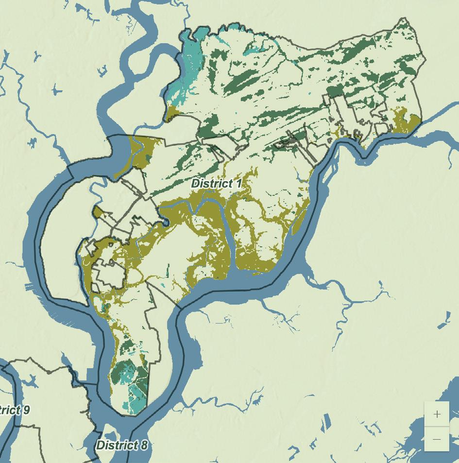
In an age of worsening flooding, wetlands – nature’s sponges – are only going to become more precious. And with 7.7 billion gallons of natural flood protection, the Cainhoy Peninsula holds more wetland storage capacity than any other part of the City of Charleston.
A team of students from the College of Charleston's Environmental and Sustainability Studies program built an interactive dashboard mapping wetland storage capacity across every city council district in Charleston. Using EPA estimates and National Wetlands Inventory data, they can calculate how much floodwater wetlands can hold in any given region.
"District 1 includes Daniel Island and the Cainhoy Peninsula, that has the most wetlands in the city of Charleston," said Melanie Thorne, who led the team. She hopes that the tool will help build under-
standing of the sheer impact of wetlands. "Billions of gallons of water is really difficult to visualize, but still a very helpful reference."
A billion gallons of water is enough to fill 1,534 Olympic swimming pools, or eight billion 16-ounce water bottles.
"Cainhoy is our local example for why this dashboard matters," said team member Daniel Barney. "The area includes wetlands, portioned land, and low-lying coastal landscapes, but is prone to major development pressures."
The current development proposal, which is looking to bring 12,000 residential units to the peninsula, would require filling approximately 200 acres of those wetlands.
"If this plan were to be fulfilled, we would see losses in natural flood storage capacity, and the biodiverse habitats that make
up these regions' ecosystems," Barney said. "200 acres could represent nearly 200 to 300 million gallons of storage at risk."
Taking away those wetlands, he added, "decreases the island's resilience to tidal flooding, storm surge, and intense rainfall."
That loss would ripple outward. According to a May 2026 study from the Environmental Defense Fund (EDF) in Nature Water, wetland destruction along the lower Cooper River corridor, the same system that drains much of the Cainhoy area, has already cost the region an estimated $13.5 million in flood damage reduction since 1985. Nationwide, the study estimates wetland loss has driven up flood insurance claims by roughly $10 billion since that time.
Charleston educator and wetlands advocate Merrie Koester, Ph.D., noted the EDF study only tells part of the story. "The study doesn't even begin to touch the loss of development of our coastal salt marshes, which attenuate stormsurge impacts and stabilize shorelines, saving lives and property during hurricanes."
On Cainhoy, nearly 200 million gallons of flood storage is at stake. When those wetlands are gone, so is the flood storage. No stormwater ponds or pipes will replace what nature provides us for free.
PARTY AT THE POINT




FRI, JULY 3: ON THE BORDER EAGLES TRIBUTE BAND A HAPPY HOUR CONCERT SERIES IN THE SAND EACH FRIDAY THRU JULY 17 AT CHARLESTON HARBOR RESORT & MARINA MACA OPERA INTENSIVE PRODUCTION
SINGLES HAPPY HOUR
FRI, JULY 17 FROM 6-9PM AT FIREFLY DISTILLERY
WED, JULY 22 AT 6:30PM AT ST. MATTHEW’S LUTHERAN CHURCH MONTHLY WINE DINNER AT 39 RUE DE JEAN THU, JULY 16 AT 6:30PM
BY W.A.
3:30-7:30PM AT STRIPED PIG DISTILLERY
The proposed Cainhoy development’s massive influx of new houses would transform the peninsula in unimaginable ways. Traffic modeling for the Clements Ferry Road widening project, completed in 2024, estimates that full buildout would push somewhere between 30,000 and 50,000 vehicles per day through what is still a two-corridor system. A national expert retained by the Southern Environmental Law Center found that even after the road was widened, Cainhoy development at scale would drive it to a failing Level of Service, the traffic engineering designation for conditions so congested they become genuinely dangerous. Not slow. Failed.
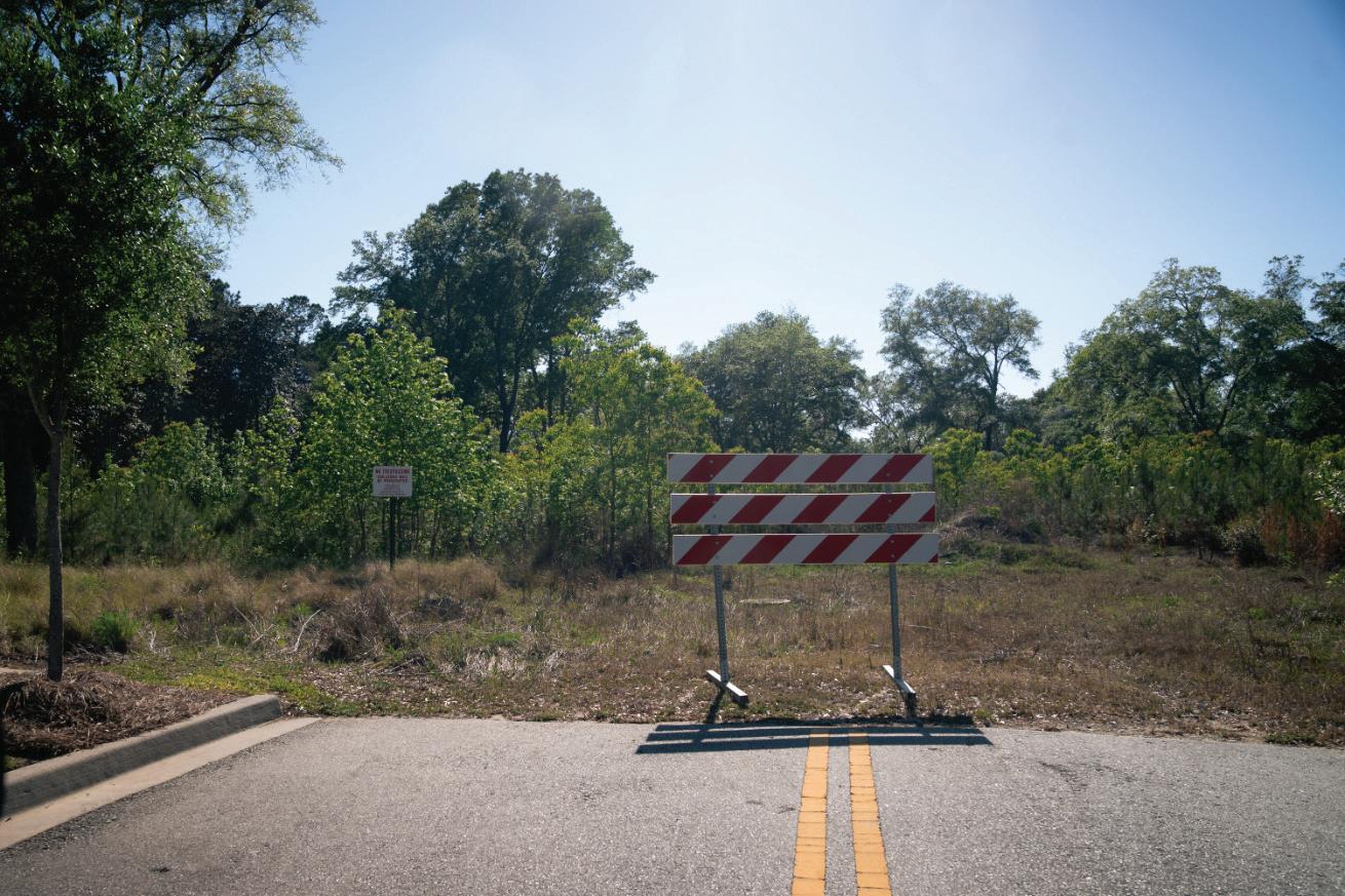

30 years ago, the the City of Charleston signed a development agreement for the Cainhoy Peninsula. A lot has changed since 1996, but the developers still plan to fill nearly 200 acres of wetlands, place roughly half the homes in the floodplain, and build up to 12,000 units on one of the last large undeveloped tracts on the Charleston neck. Tell City Council and the Mayor it's time to update that agreement.

Public meetings are coming this summer. Sign up for the Coastal Conservation League's email list to get updates on hearings, actions, and ways to make your voice heard.
Live along Clements Ferry Road or Highway 41? Stop by the CCL office and pick up a free yard sign. Visibility matters! Help your neighbors know this fight is happening in their backyard.