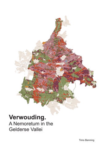
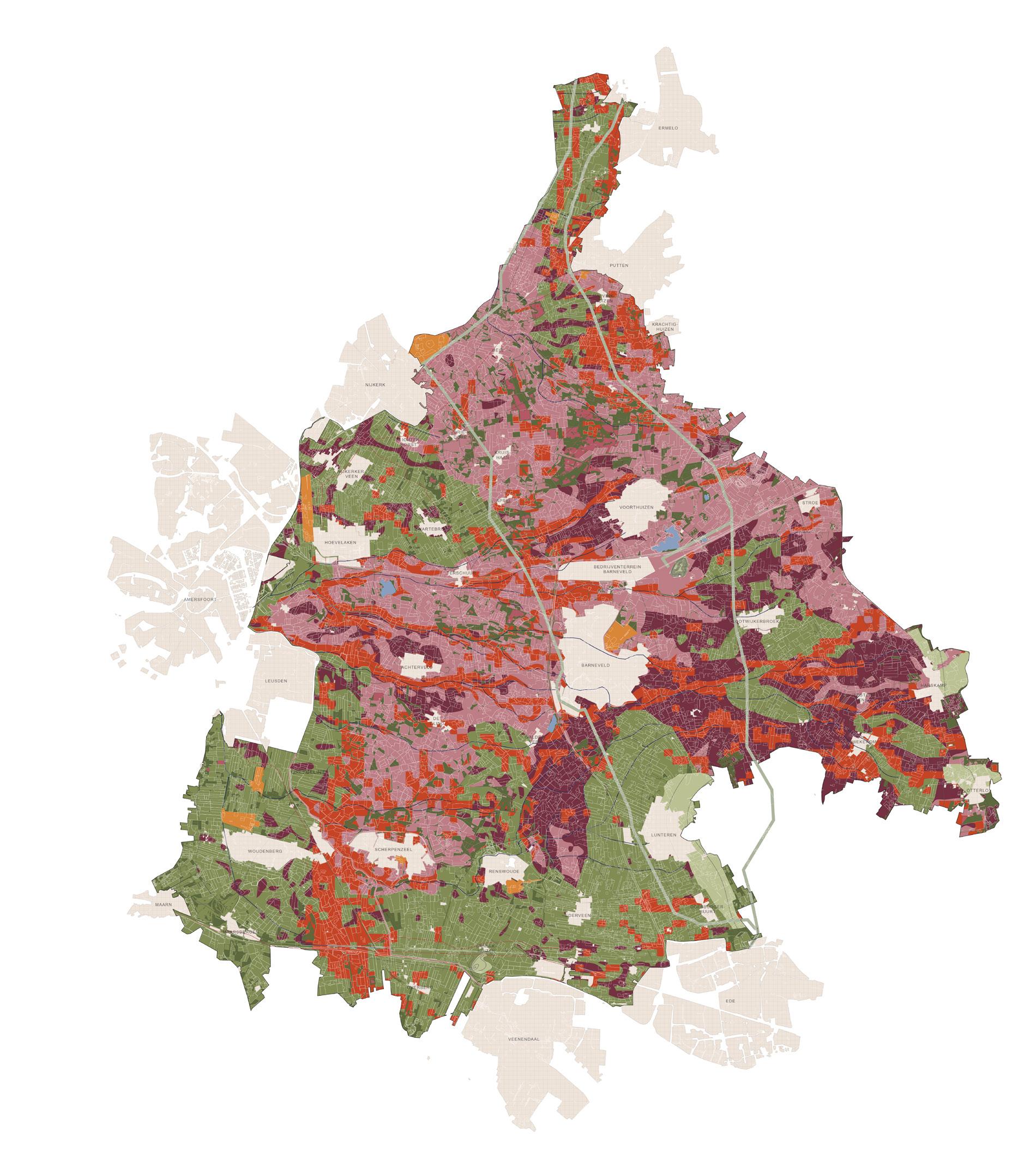
Verwouding. A Nemoretum in the Gelderse Vallei
This project explores how the Dutch reforestation challenge, as articulated in the Landelijke Bossenstrategie and Beleidsagenda 2030, can be transformed from a quantitative policy objective into a meaningful spatial, cultural, and imaginative landscape project, with the design of Nemoretum de Gelderse Vallei as the starting point for an 800-year strategy of ‘verwouding’.
Colophon
Timo Banning
Master of Landscape Architecture
Graduation Project May 2026
Graduation Committee
Mirjam Koevoet (mentor) Thijs de Zeeuw Jean-François Gauthier
Additional Members of the Examination Committee
Berdie Olthof Remco van der Togt
Amsterdam Academy of Architecture
May 2026
Copyright © 2026 Timo Banning
Contents
Glossary
Introduction: Project brief and objective
I. Woud: the meaning and significance of woud
- The Dutch forest strategy
- Woud relicts
- Bos visits
- The woud interpreted and experienced through time
- Spatial archetypes of bos and woud
II. The Gelderse Vallei: Grounds of emergence
- Finding a place for the new Dutch woud
- Panorama of the Gelderse Vallei
- Landscape of livestock farming
- Conditions for verwouding in the Gelderse Vallei
- Geomorphological formation and landscape reclamation
- Hydrological restoration as a basis for verwouding
III. Verwouding: The long becoming of the woud
- The verwouding strategy
- Verwouding structure maps
- Verwouding - applied nucleation succesion
- Verwouding of the kampen landscape
- Verwouding of the heideontginning landscape
- Verwouding of the broekontginning landscape
- Verwouding of the veenontginning landscape
- Conclusion: Verwouding: The long becoming of the woud
IV. The Nemoretum: Prefiguring the Woud
- 1. The spring
- 2. The forest edge
- 3. The glade
- 4. The tower
- 5. The heart of the forest
- 6. The winter king
Conclusion: From Bossenstrategie to Verwouding
Acknowledgements
References
Appendix
- Photographic atlas of the Gelderse Vallei
- Essay: Charisma of the Godwit
- Paper: Lost without a Pattern
Glossary
Woud (Dutch noun; plural: wouden)
Used to denote a woodland landscape that develops through spontaneous growth and ecological succession, without human planting or silvicultural management. In contrast to bos, woud refers to a self-established wooded landscape shaped by autonomous ecological processes rather than by deliberate human cultivation.
Bos (Dutch noun; plural: bossen)
Used to denote a planted or managed woodland landscape: a human-made reinterpretation of the woud, established through afforestation, replanting, or the introduction of tree cover on cleared, deforested, or previously non-wooded land. In contrast to woud, bos refers to a wooded landscape maintained through human intervention, cultivation, and management.
Primary forest
A forest that has evolved over centuries or millennia with little to no direct human intervention. It is characterised by ecological integrity, multilayered spatial structure, and the continuity of natural processes such as succession, regeneration, decay, and habitat formation. More than simply an old forest, it denotes a self-organising woodland biotope in which ecological processes unfold over long periods of time with minimal human disturbance.
Nemoretum (Latin noun; plural: nemoreta) - Neologism
A designed landscape in which landscape and spatial design are used to evoke the archetype of the woud and foster an experiential connection to it. Through the arrangement of planting, objects, space, and landscape structure, it generates a spatial condition that refers to particular woud archetypes.
Formed in deliberate analogy to arboretum, the term derives from the Latin nemus (nemoris), referring not simply to forest in a general sense, but more specifically to a grove or wooded place perceived as set apart, sacred, or spiritually charged, and the suffix -etum, denoting a planted place or collection associated with a particular kind of vegetation. The term also resonates with the Celtic nemeton (plural nemeta), denoting a sacred place, often a grove or clearing, and more broadly a ritual sanctuary within the natural environment.
Whereas an arboretum is primarily botanical or educational, a Nemoretum engages the symbolic, ritual, spiritual, and experiential dimensions of the woud.
Verwouden (Dutch verb; noun: verwouding) - Neologism
Used to denote the long-term process through which a deforested landscape, a degraded or managed forest, develops through autonomous ecological succession into a woodland biotope that gradually acquires characteristics associated with the woud and, over time, with primary forest. In this sense, verwouding does not refer to afforestation or forest design, but to the gradual emergence of ecological autonomy, structural complexity, and primary-forest character under conditions of nonintervention.
The term is informed by Francis Hallé’s distinction between degraded or managed forest and primary forest, according to which a degraded or managed forest may regain its primeval character if its natural dynamics are allowed to recover over a period of around 800 years.
Animate landscape
Used as the English translation of the Dutch term bezield landschap. A landscape understood not merely as a physical setting, but as living and imbued with spiritual or cultural meaning. It includes the stories, rituals, memories, and symbolic associations through which human communities experience, interpret, and relate to a place.
Introduction: Project brief and objective
From Bos to Woud
The Dutch Climate Agreement set the ambition of realising 37,000 hectares of new bos between 2020 and 2030, yet progress toward this goal has stalled. The current Bossenstrategie continues to frame this task largely in quantitative and functional terms: hectares must be delivered, ecological targets met, and tree cover added. What remains insufficiently addressed is what the large-scale return of wooded landscapes might mean in spatial, cultural, and imaginative terms. In both policy and design, bos is therefore often treated less as a territorial transformation than as a functional land-use category, with limited attention to its broader landscape and cultural implications.
The Netherlands is not a lightly programmed territory into which woodland can simply be inserted, but a deeply cultivated landscape shaped by centuries of management, reclamation, and spatial ordering. As a result, newly realised bos is unlikely to be perceived as an autonomous landscape form. Instead, it remains legible as a deliberate intervention, planted, steered, and maintained within an already highly constructed landscape. Under such conditions, the transformation of land marked by a long cultural history and deeply embedded ideas of how it ought to be is likely to encounter cultural resistance unless it is carefully embedded in spatial and cultural terms. The fact that the Bossenstrategie has, over the years, barely translated into any substantial increase in bos area already demonstrates how difficult it is, within current frameworks, to identify and transform land for such a transition.
The project therefore argues that the present forest agenda cannot be understood as a question of hectare delivery alone. It must also address how wooded landscapes can acquire spatial, cultural, and imaginative legitimacy within the Dutch context. From that perspective, the project reopens the question of what woud might mean in the Netherlands today, not as a planted or designed forest, but as a woodland landscape that develops through spontaneous growth, ecological succession, and an increasing autonomy of natural processes, while at the same time creating the conditions for new cultural meanings, narratives, rituals, and forms of shared belonging to emerge.
The Gelderse Vallei
The Gelderse Vallei is the landscape in which this project is situated. It was not selected simply as a convenient test case, but identified through research and spatial analysis as a strategically and spatially appropriate location for the project. The choice of site is therefore part of the project itself. Here, the national ambition of 37,000 hectares of new bos can be reinterpreted not as a dispersed planting task, but as the beginning of a long term strategy directed towards the emergence of woud. Rather than producing isolated woodland fragments, the project investigates the conditions under which a large contiguous woud can gradually emerge here through succession.
This is significant not only ecologically, but also spatially, culturally, and experientially. Positioned between the Veluwe and the Utrechtse Heuvelrug, the two largest existing contiguous wooded landscapes in the Netherlands, the Gelderse Vallei can contribute to the formation of a new continuous woodland structure at the national scale. At the same time, the complexity of the area itself, marked by intensive livestock farming, fragmented land ownership, ecological pressure, and competing land claims, makes it a particularly relevant landscape for intervention. The Gelderse Vallei is therefore approached not as an arbitrary location for experimentation, but as a deliberately chosen landscape in which this strategy can be explored in direct relation to existing spatial pressures, local histories, and broader societal needs, while generating impact at both local and national scales.
Introduction: Project brief and objective
Project Objective
Within this context, the graduation project asks how a regional transformation on the scale of the national 37,000-hectare bos ambition can be reimagined in the Gelderse Vallei as a spatial strategy directed not only towards forest expansion, but towards the longterm emergence of woud. The proposal is deliberately positioned as a speculative design scenario. It does not claim to be a strategy ready for direct implementation within the present policy, legal, economic, and social frameworks. Instead, it uses the Gelderse Vallei as a concrete what-if scenario through which the implications of such a transition can be explored. It asks what would be required if Dutch landscape policy made room for a new woud to emerge: a woodland landscape able to develop through succession, increasing ecological autonomy, and changing cultural meanings over time. In this sense, the project asks how a woud might be given the space to become more than a functional land-use category.
Unlike the prevailing implementation logic of the Bossenstrategie, which largely frames the task in terms of hectare delivery and added tree cover, the project does not treat tree planting as an end in itself, but investigates how the transformation of a highly managed agricultural landscape can establish the conditions for verwouding. For such a transition to occur, the dominant forms of land use that currently suppress succession must be restructured. In the Gelderse Vallei, this means the phased elimination of intensive livestock farming as the dominant spatial and economic logic of the landscape, while allowing limited and small-scale forms of animal husbandry to remain where they are spatially appropriate, ecologically supportive, and culturally meaningful, for example as instruments of landscape management, as carriers of local landscape culture, or as part of continued rural livelihoods.
This speculative position determines the project’s design approach. Its aim is not to design a finished woud, nor to project a fixed end state 800 years into the future. Such a time span exceeds the legitimate scope of design, since the cultural landscape, social conditions, ecological dynamics, and the meanings attached to the landscape will inevitably change over time. The project therefore designs the initial spatial, cultural, and strategic framework from which verwouding can begin, while securing the conditions under which that process can continue over the long term. Design is used to reorder land use, hydrological regimes, edges, routes, and access structures in ways that create room for ecological succession to become the leading force in landscape transformation. In this sense, the project operates across two temporal horizons at once: an immediate horizon of design intervention, and a much longer horizon of verwouding. The latter is not treated as a design horizon, but as an ecological timeframe that clarifies the duration and depth of the transition to which the project commits itself.
The project approaches this transition explicitly as a design task in which ecological development, spatial form, and cultural meaning must be brought into relation. The proposed interventions are grounded in the ecological conditions required for succession, habitat formation, and the re-establishment of flora and fauna. The changing presence of animals is essential to both the value and experience of woud: through direct encounters, but also through sound, tracks, movement, absence, and seasonal change. The project nevertheless focuses on the cultural dimension of verwouding. It examines the spatial conditions through which people may recognise, enter, experience, and gradually attach meaning to an emerging woud. Detailed projections of species development, fauna dynamics, and the specific forms of interaction between people and animals fall outside this scope, while remaining fundamental to the future landscape that the project seeks to enable.
Landscape is therefore understood here not only as physical territory, but as an animate landscape shaped through memory, meaning, ritual, and shared forms of experience. For that reason, the project introduces Nemoretum de Gelderse Vallei as an experiential design framework within the broader transformation. Its role is not to stand in for woud, nor to simulate its final state, but to make the future presence of woud spatially perceptible in the present through a series of designed places that can anchor new forms of recognition, attachment, and cultural imagination while the larger landscape remains in transition.
Taken together, the project proposes a shift from a forest agenda centred on hectare delivery towards a landscape agenda centred on long-term transformation. Its central proposition is that the expansion of bos becomes more meaningful, more persuasive, and more spatially coherent when it is embedded within a longer project of verwouding, and when design is understood not as the production of a final image, but as the careful initiation and grounding of a transition whose full development necessarily extends beyond the temporal reach of the project itself.
I. Woud: the meaning and significance of woud
The Dutch forest strategy
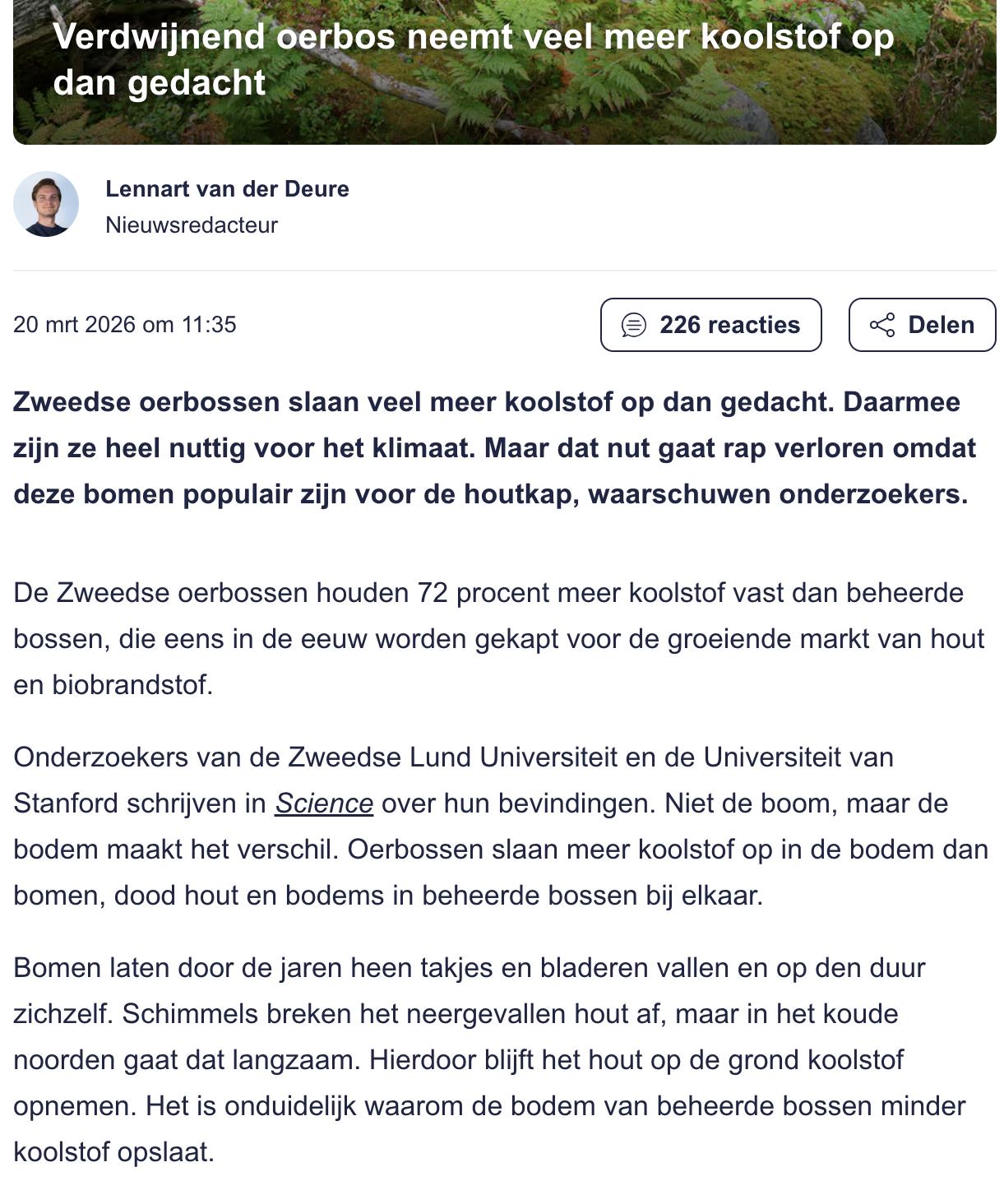
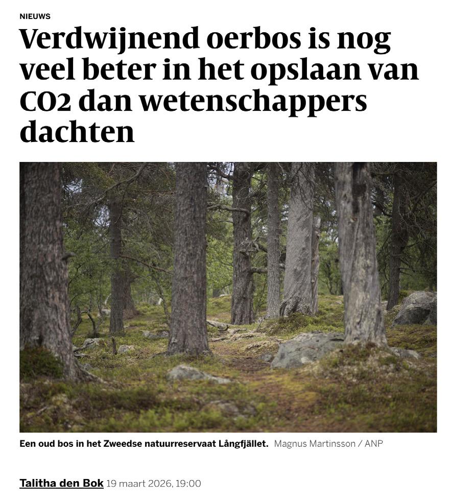
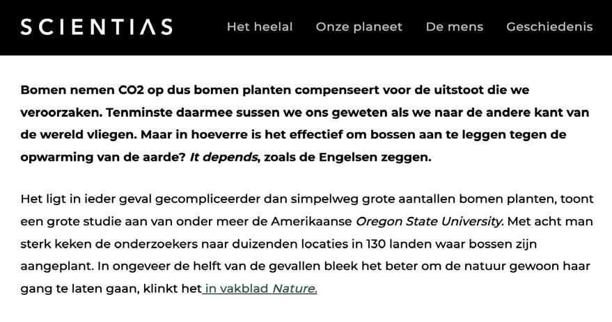
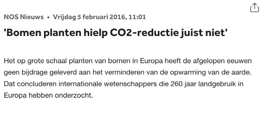
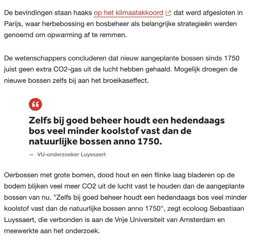
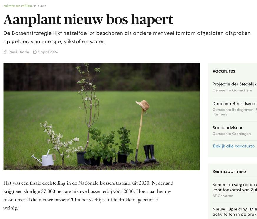
Recent public discourse on the shortcomings of the Dutch Forest Strategy
Reflection on the Bossenstrategie
The Dutch Bossenstrategie begins from a spatially powerful promise: 37,000 hectares of new forest by 2030, a ten percent expansion of the national forest area, linked to biodiversity, recreation, timber production, health, and carbon storage (Ministerie van Landbouw, Natuur en Voedselkwaliteit & Interprovinciaal Overleg, 2020). Yet more than halfway through its timeframe, the strategy appears both delayed and conceptually thin. The promised hectares are barely materialising, while implementation remains dependent on fragmented responsibilities and uncertain combinations with housing, energy, water, infrastructure, and nature policy (Didde, 2026). At the same time, forest-carbon research complicates the assumption that planting trees or expanding managed bos automatically delivers meaningful climate benefit. Carbon storage depends strongly on time, soil, dead wood, species composition, and management intensity; young or production-oriented bos is therefore not equivalent to older, less-managed forest systems (Naudts et al., 2016; Pascual et al., 2026). The question is therefore not whether trees matter, but what kind of bos is being made. This project starts from that gap. It treats the 37,000-hectare target not as a planting sum, but as a landscape question: what can new bos become, spatially, ecologically, and culturally, at the scale of the Netherlands?
Woud relicts
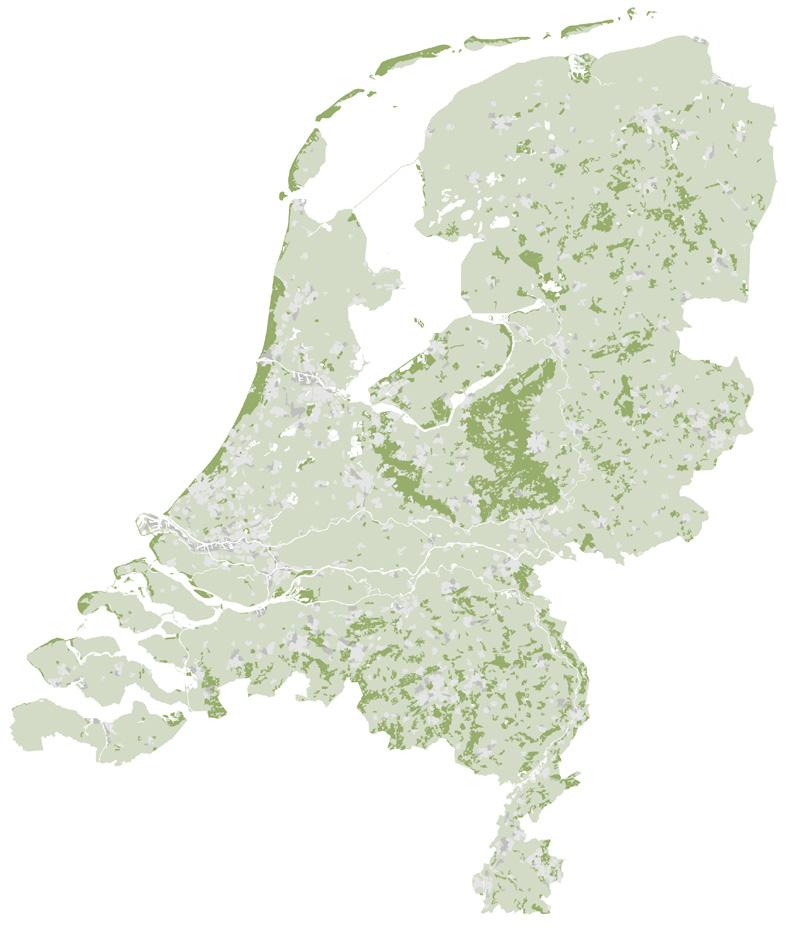
Current forest cover in the Netherlands: only 11% of the country, just over 360,000 hectares, is forest.
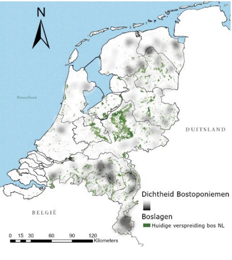
Density of forest toponyms in the Netherlands. Source: Eijgenraam, 2021.
The persistent memory of woud
map of ancient
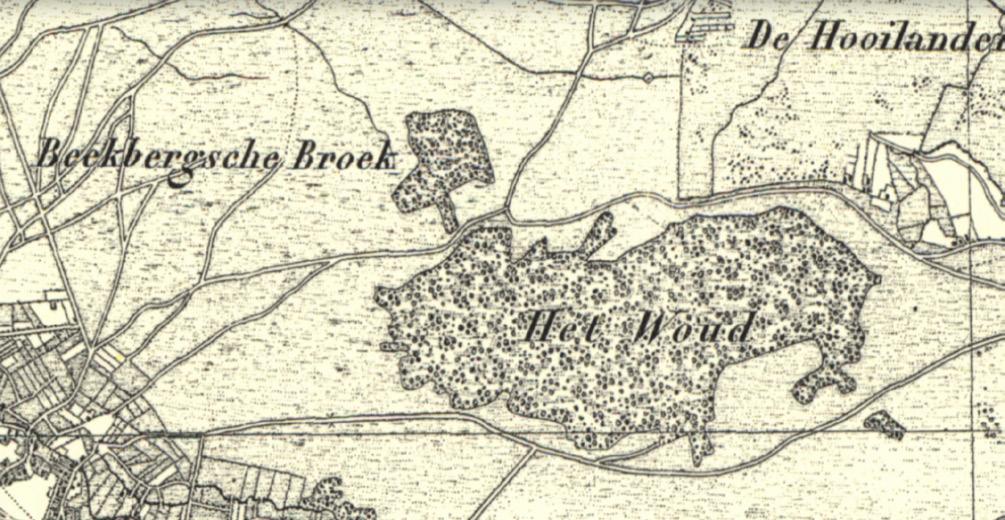
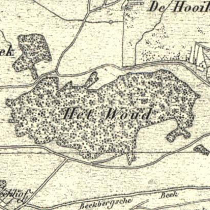
The present map shows how limited Dutch forest cover has become: around 363,800 hectares in 2021, almost 11 percent of the national land surface. Before successive phases of reclamation, agriculture, grazing, and fuelwood extraction, large parts of the present Dutch landscape were wooded; a history still visible in palaeobotanical traces, historical research, and forest-related toponyms (Raap & Janse, 2021; Vodde et al., 2004). Within the terms of this project, today’s forest cover is entirely bos. Forest reserves form small exceptions, as places where management is reduced or abandoned, but they do not yet constitute woud as defined here. The last widely recognised remnant of Dutch oerbos was the Beekbergerwoud; its final tree was felled in 1871.
Yet the disappearance of woud as an autonomous landscape form has not erased it from Dutch culture. It remains present in language, place names, old maps, fairy tales, legends, and collective imagination. Forest toponyms reveal where woodland, wet scrub, clearings, or wooded commons once shaped local identity. In stories and sagas, woud often appears as a threshold landscape: a place of danger, refuge, encounter, and transformation.
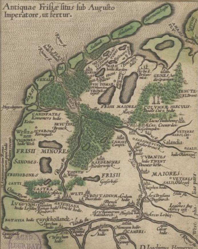
Historical maps show this clearly. Where the cultivated landscape is drawn through lines, fields, roads, and parcels, woud and broekbos often appear as darker, irregular interiors. These were not empty spaces, but landscapes charged with use, fear, memory, and myth. Even where the trees have disappeared, the cultural presence of woud remains embedded in the Dutch landscape.
Historical map of the Beekbergerwoud. Source: Topotijdreis
Historical
Frisia, Kreilerwoud. Source: Hoppers, 1579, Leiden University Libraries.
Bos visits
Forests of myth, atmosphere and spatial experience
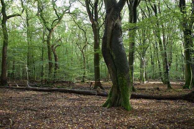
Through a long history of selective timber harvesting, the straightest trunks disappeared from Speulderbos. What remained is an irregular beech bos, now valued for its twisting, expressive forms and known as the forest of the dancing beeches.
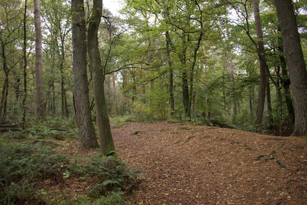
During visits to bos, subtle landforms, relief, and archaeological traces such as burial mounds become highly perceptible. Their presence adds another layer to the forest experience, inviting associations with stories, myths, and older cultural memories.
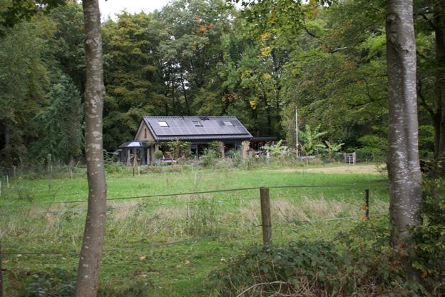
Living in or near bos offers a sheltered and intimate residential environment. At the same time, the forest dwelling carries strong cultural associations: the hut, the hermit’s house, and the hidden cabin appear repeatedly in myths, fairy tales, and landscape imagination.
The presence of wild animals adds tension and attention to the experience of bos, especially with the return of the wolf. Often this presence is indirect: many species remain unseen, but are sensed through sounds, tracks, or movement. The animal appears not only as an encounter, but through its traces.
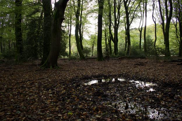
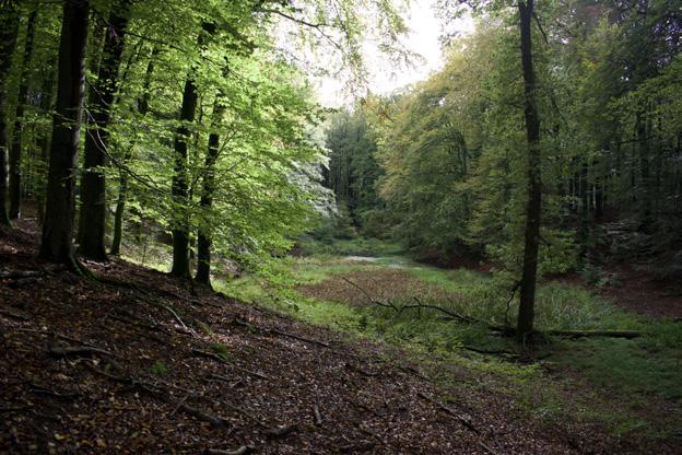
The Solse Gat is a deep hollow shaped by ice-age processes and later clay extraction. Local legends tell of a devilish monastery that sank into the ground here. The site shows how geomorphological traces can become charged with myth, memory, and animation within bos.
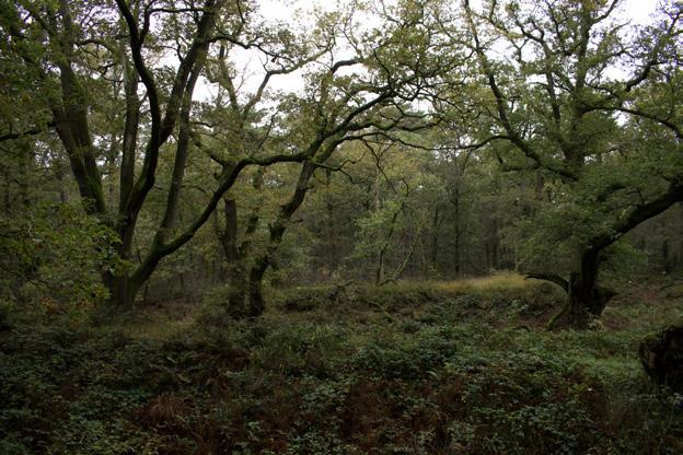
The Wodanseiken at Wolfheze are experienced by many as an animated and almost mythical place. Their broad, expressive forms developed while they stood in a more open heathland landscape. As the surrounding heath became bos, the contrast remained: old open-grown oaks held within a younger woodland.
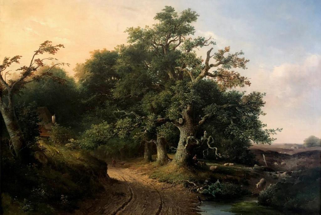
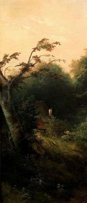
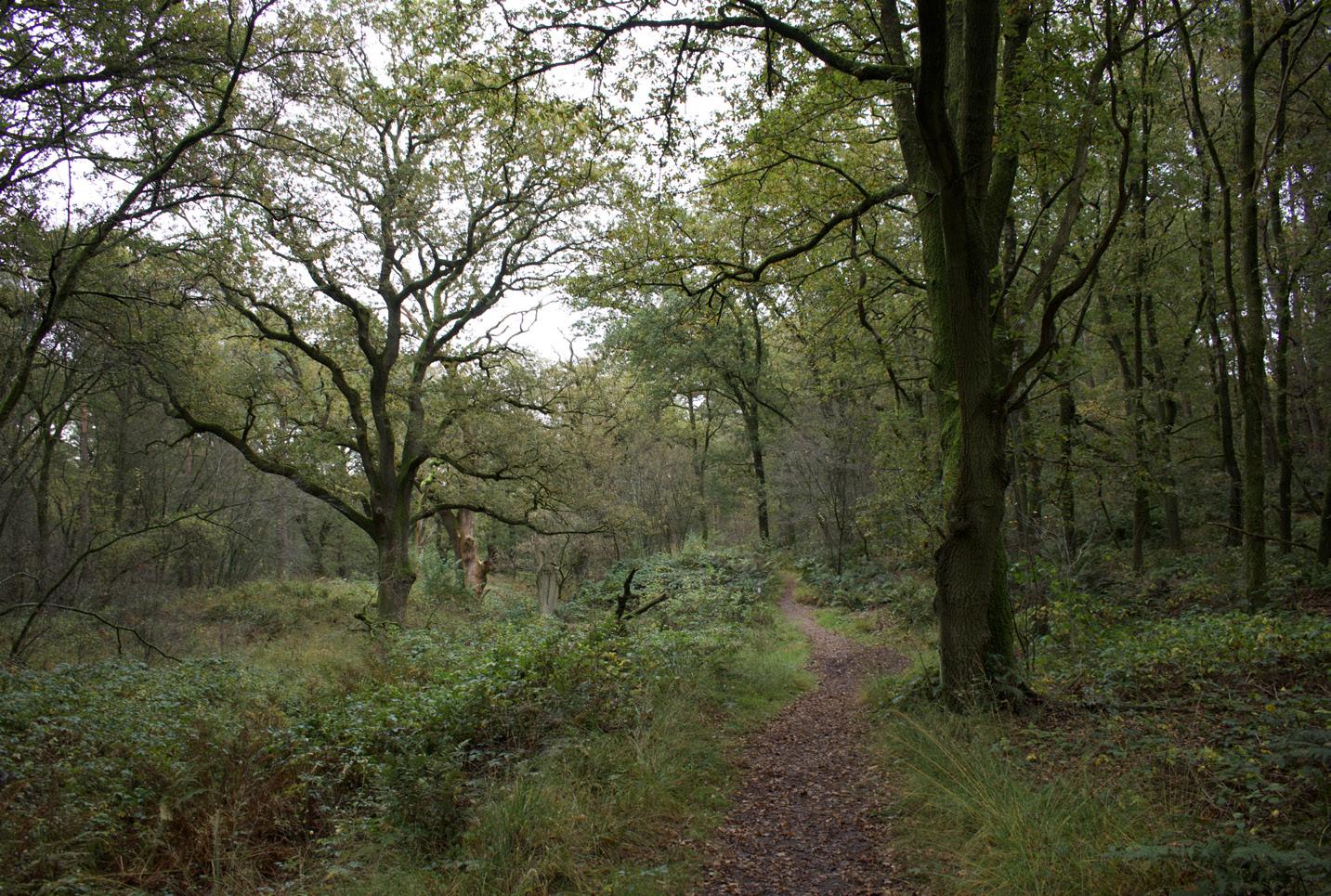
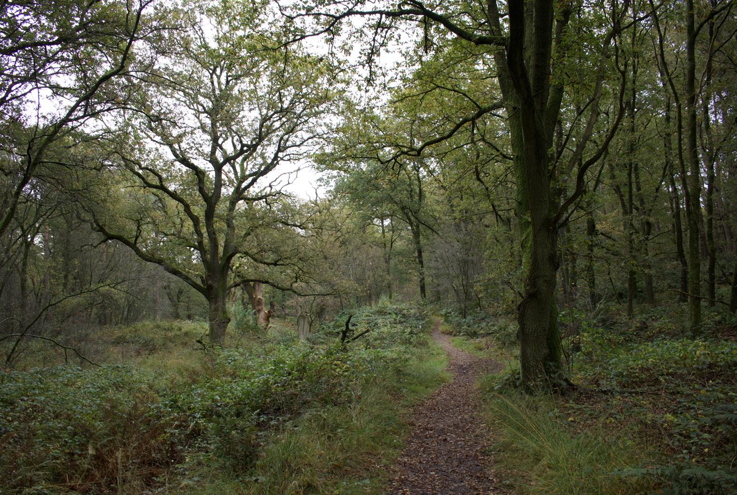
Historical painting of the Wodanseiken in the open landscape overlaid on the current situation
The woud interpreted and experienced through time
Interpreting woud, making bos: woodland through time in landscape architecture
Antiquity: ca. 3000 BCE-500 CE
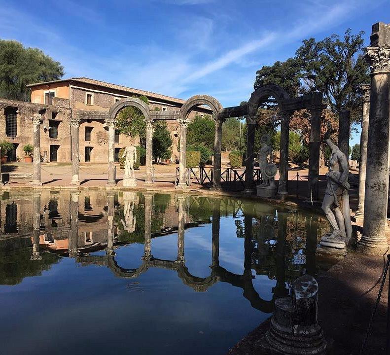
In ancient Egyptian, Persian, Greek and Roman garden cultures, trees and groves were rarely understood as autonomous woud. They were usually incorporated into ordered, irrigated and symbolic landscapes: temple precincts, palace gardens, orchards, shaded walks, hunting parks and villa landscapes. Woodland qualities were valued for shade, fertility, ritual meaning, pleasure and status, but they were generally shaped through human order. The wild woud existed mostly beyond the cultivated garden, associated with gods, animals, danger, hunting or the uncivilised outside. In landscape terms, antiquity therefore tended to translate woodland into bos: planted, enclosed, useful, sacred or ornamental, but rarely left to develop through its own ecological autonomy.
Example garden: Villa Adriana, Tivoli, Italy
Middle ages: 5th-15th century
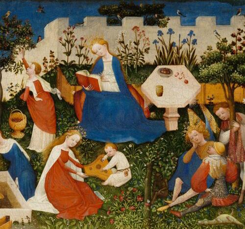
In the medieval period, gardens were mainly enclosed, symbolic and functional. Monastic gardens, castle gardens and hortus conclusus traditions organised plants for food, medicine, devotion and contemplation. The bos appeared as orchard, managed woodland, hunting ground or resource landscape. The woud, by contrast, remained culturally ambivalent: it could be feared as wilderness, lawlessness and danger, but also imagined as a place of retreat, spiritual trial, miracle, enchantment or divine encounter. Medieval landscape design did not yet reinterpret woud as an aesthetic design model. Instead, it separated cultivated life from wild nature and transformed woodland into protected, useful or symbolic forms.
Example: Jan van Eyck, The garden of paradise, ca. 1410–1420
Renaissance style: 15th-17th century
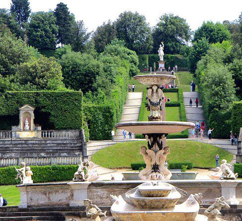
Renaissance gardens were shaped by renewed interest in classical order, geometry, proportion and perspective. Landscape was treated as an extension of architecture, and trees were arranged through terraces, axes, groves, framed views and geometric compartments. The bos became a spatial and visual instrument within a rational composition. Bosquets and wooded rooms could evoke the presence of woodland, but they did not represent autonomous woud. They were carefully planted, clipped, aligned and maintained. Wild nature was admired through mythology, poetry and distant scenery, yet inside the garden it was disciplined by design. The Renaissance garden therefore transformed woodland into cultivated order: nature made legible through humanist control.
Example: Boboli gardens, Florence, Italy
Baroque style: 17th-18th century
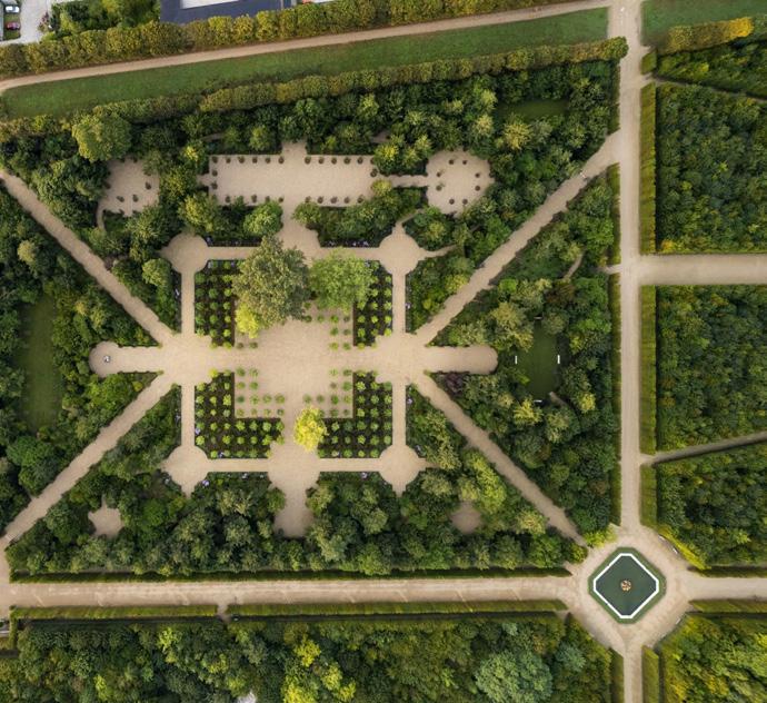
In Baroque landscape architecture, woodland was used to express power, hierarchy and territorial control. Gardens such as Versailles transformed trees into vast geometric structures: avenues, bosquets, hunting forests, framed perspectives and enclosed outdoor rooms. The bos became an architectural material, organised to support ceremony, spectacle and political representation. The autonomous woud had almost no place within this design logic. Wildness was not embraced but corrected, cut, aligned and staged. Even when Baroque bosquets suggested density or mystery, they were intensely artificial spaces. The relation to woodland was therefore one of command: nature was made to demonstrate order, authority and the reach of human design.
Example: gardens of the palace of Versailles, France
English landscape style: 18th century
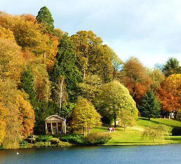
The English landscape style rejected the visible rigidity of Baroque geometry and created landscapes that appeared natural, flowing and pastoral. Designers such as Capability Brown used lawns, lakes, tree clumps, belts, groves and winding routes to compose idealised scenery. Woodland was no longer forced into strict axes, but it was still deliberately planted, thinned, framed and managed. This was not woud in the autonomous sense, but a carefully designed bos that produced the image of naturalness. The cultural value of wild nature increased, yet landscape architecture translated that value into curated views and controlled experience. The woud became an aesthetic reference, while the bos remained the designed reality.
Example: Stourhead, Wiltshire, England
Romantic period: late 18th-early 19th century
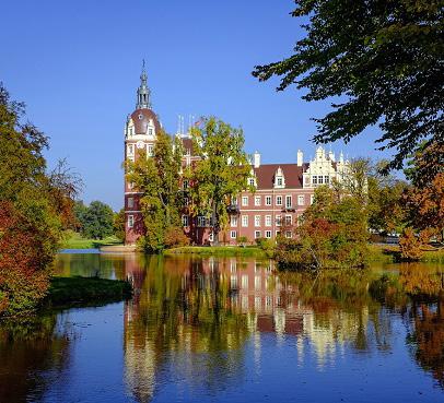
In the Romantic period, the woud gained stronger emotional, poetic and spiritual meaning. Landscape was increasingly understood as a place of memory, melancholy, mystery, sublimity and personal experience. Dense planting, irregular paths, ruins, water, shadow and dramatic contrasts were used to evoke depth, age and atmosphere. Romantic landscape design often tried to make bos feel closer to woud: immersive, irregular and emotionally charged. Yet this was still a designed interpretation rather than true ecological self-organisation. The woud functioned as an ideal of nature beyond full human control, while the designed landscape staged that ideal for reflection, imagination and sensory experience.
Example: Muskau park, in the Polish-German border region
Victorian period: 19th century
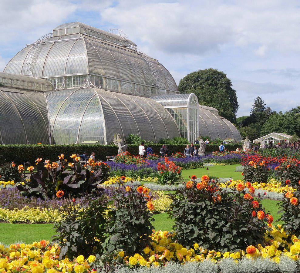
Victorian landscape design combined horticultural display, botanical science, public recreation and imperial plant collecting. Wooded areas appeared in parks, cemeteries, estates and botanical gardens as curated collections, scenic backgrounds and restorative urban landscapes. The bos became educational, recreational and botanical: planted, labelled, maintained and made accessible to the public. The woud was admired as an image of natural richness, but it was usually translated into managed planting, exotic collections and picturesque park scenery. In the context of industrialisation and urban growth, woodland also gained a social role as green infrastructure for health, leisure and moral improvement. Wildness was valued, but largely through control, classification and public management.
Example: Royal Botanic gardens, Kew, London, England
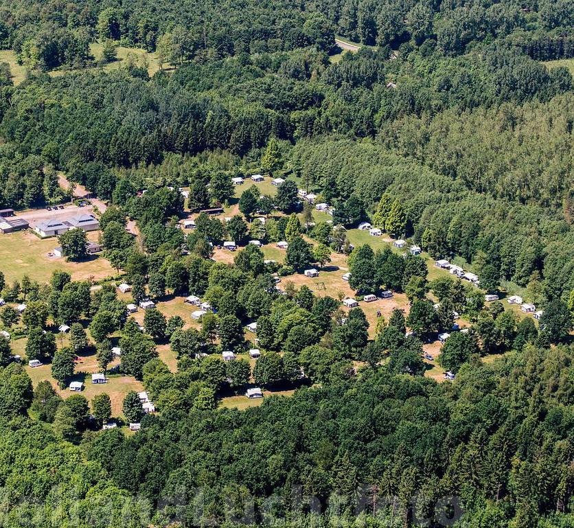
Contemporary landscape architecture: 20th-21st century, Dutch context In the Dutch 20th- and 21st-century context, woodland is approached in a largely pragmatic, instrumental and increasingly ecological way. The bos is expected to serve multiple aims at once: recreation, biodiversity, timber, carbon storage, climate adaptation, ecological compensation and spatial structure. This is also visible in policy frameworks such as the Dutch National Forest Strategy, where forest development is linked to climate and biodiversity goals. At the same time, there is growing interest in natural processes, succession and rewilding. Yet even these approaches often remain guided by design, monitoring and management. The woud, understood as a wild, animate and self-willed environment, is therefore only partly returning. It appears in ecological discourse and in a renewed interest in more-than-human landscapes, but it remains marginal in mainstream forestry and planning. This creates a tension: ecological forest development can be sincere, but forest language can also become green branding, for example when tree-covered buildings are presented as “forests”. Contemporary Dutch landscape architecture thus seeks richer forms of bos, but rarely allows them to become autonomous woud.
Example: afforestation of the Flevopolder, Flevoland, the Netherlands
Spatial archetypes of bos and woud
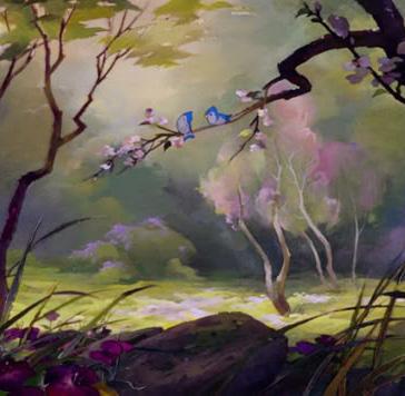
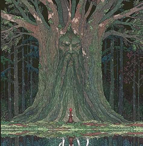
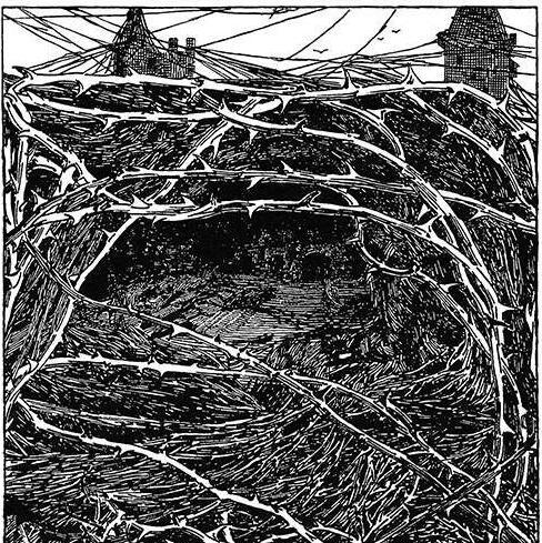
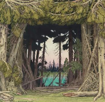
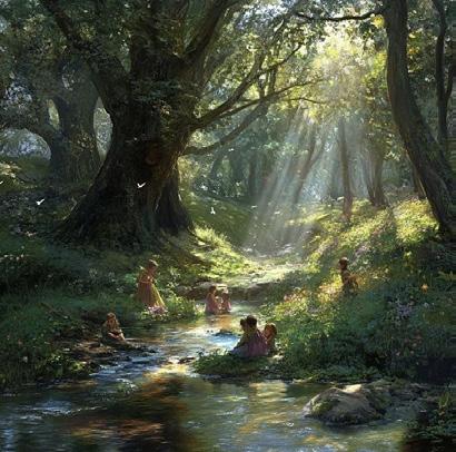
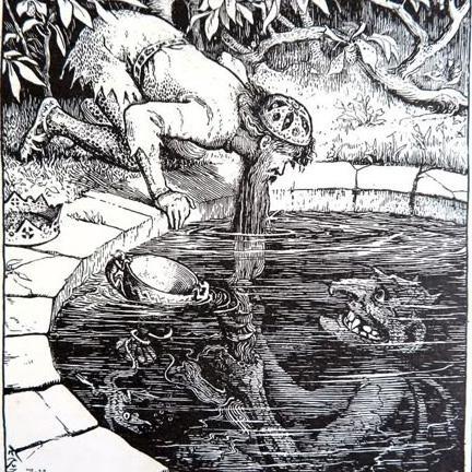
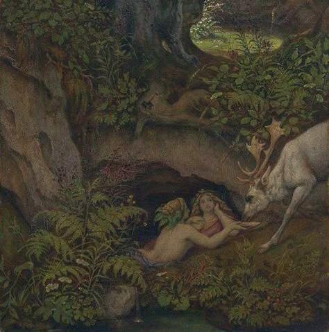
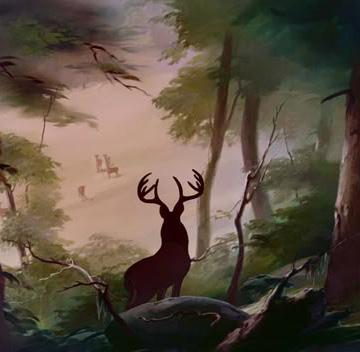
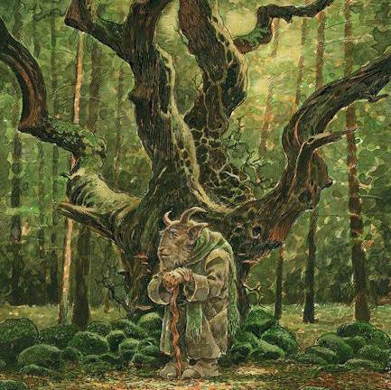
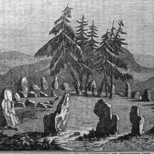
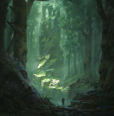
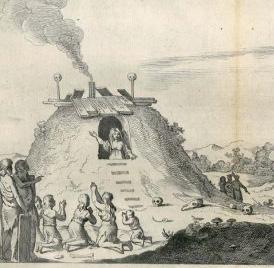
1. The forest edge
2. The dark forest
3. The open woodland
4. The heart of the forest
5. The impenetrable forest
6. The unknown forest
7. A lake in the forest
8. The stream in the forest
9. The spring in the forest (springhead, spring or well)
10. The cave or burrow
11. The glade
12. The ancient tree
13. The circle 14. The ruin 15. The burial mound
Archetypes of Woud
The recurring presence of bos and woud in fairy tales and sagas is not accidental. As a landscape type, the forest forms a strong contrast with the cultivated world: it is less legible, less controlled, and more difficult to oversee. It therefore becomes a threshold space, where characters leave the ordered landscape behind and enter a zone of testing, danger, refuge, and transformation (Łaszkiewicz, 2017).
Within Dutch fairy tales, sagas, and landscape memory, certain spatial archetypes return again and again like: the forest edge, the dark forest, the open woodland, the heart of the forest, the lake, the stream, the spring, the cave or burrow, the glade, the ancient tree, the circle, the ruin, and the burial mound. These figures are culturally persistent because they condense long histories of human experience with wooded landscapes. Even when woud is no longer part of everyday life for most people, these archetypes remain immediately imaginable through stories, art, and collective memory.
Their meaning is rarely singular. A glade may appear as a place of beauty and encounter, but also as a site of ritual, danger, or exposure. An ancient tree may suggest wisdom, age, shelter, or threat. This ambivalence is essential: the archetype does not prescribe one function, but opens a field of possible experiences. Research on nature archetypes similarly shows that landscape figures can evoke both fear and distance, as well as calm, attachment, and connection (Ottosson & Grahn, 2021).
For the project, these archetypes become more than narrative references. They offer a way to think about spatial experience: how landscape can carry memory, ambiguity, wonder, and animation without becoming illustrative or artificial. In this sense, the project continues a longer landscape-architectural tradition in which edges, clearings, water, ancient trees, ruins, circles, and burial mounds were used to construct not only scenery, but also atmosphere, story, and meaning.
II.
The Gelderse Vallei: Grounds of emergence
Finding a place for the new Dutch woud
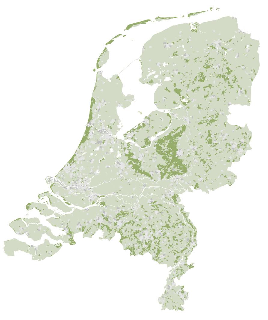
Existing forest area in the Netherlands
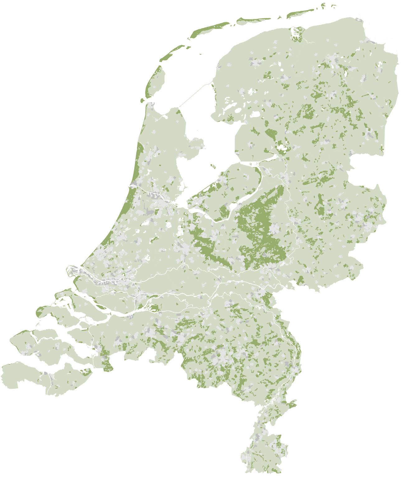
Connecting the Utrechtse Heuvelrug and the Veluwe through a Gelderse Vallei woud will create a centrally located forest heart of the Netherlands
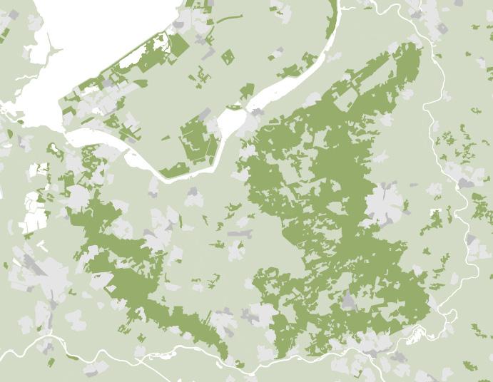
Gelderse Vallei
Veluwe
Utrechtse Heuvelrug
Proposed area for verwouding in the Gelderse
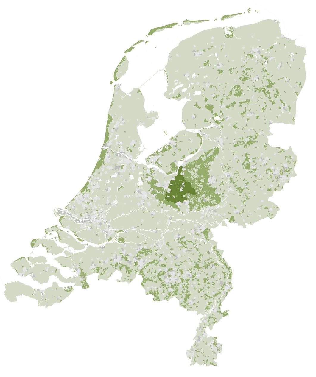
The Gelderse Vallei is not only an interesting location for allocating a fragment of the national 37,000-hectare forest ambition. It raises a more radical question: what if this ambition were spatially concentrated here, allowing a large, centrally located woud to develop over time? Positioned between the Veluwe and the Utrechtse Heuvelrug, two of the Netherlands’ most significant forested landscapes, such a woud could become more than new forest cover. It could form a connective landscape body, reducing fragmentation and strengthening ecological exchange between existing habitats.
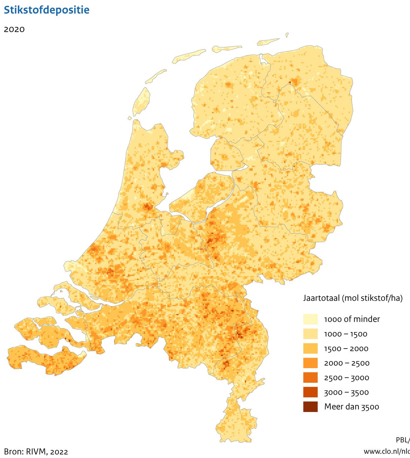
This spatial opportunity also coincides with one of the most urgent environmental pressures in the region: nitrogen. The Gelderse Vallei is characterised by intensive livestock farming and high ammonia emissions, while it lies directly between landscapes with nitrogensensitive vegetation, including the Veluwe and the Utrechtse Heuvelrug. The proposal for a Gelderse Vallei woud therefore connects two agendas; the expansion of forest cover and the structural reduction of nitrogen pressure.
Nitrogen deposition, the Netherlands, 2020 Source: RIVM
Vallei
Panorama of the Gelderse Vallei
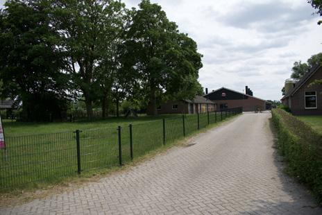
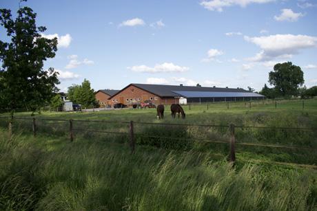
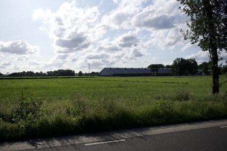
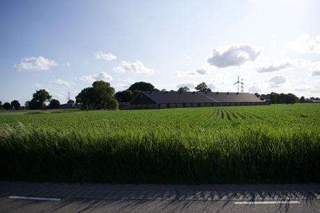
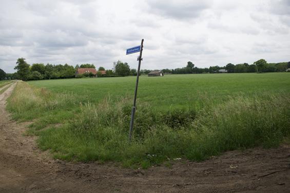
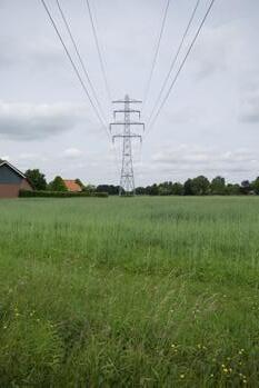
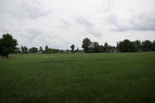
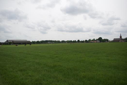
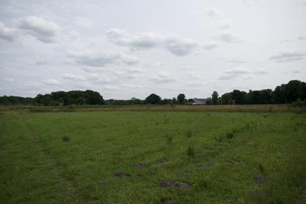
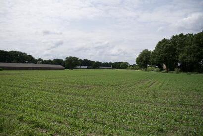
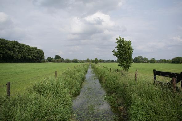
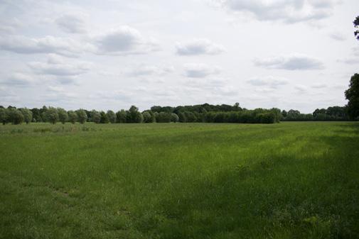
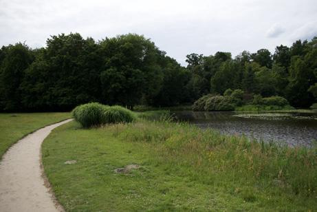
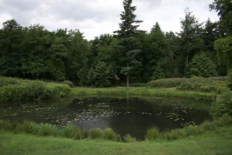
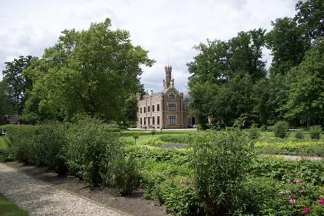
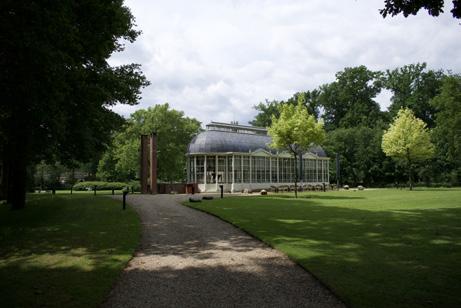
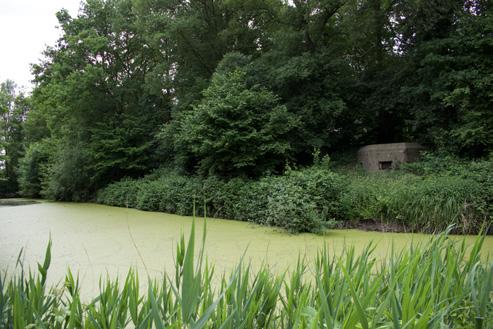
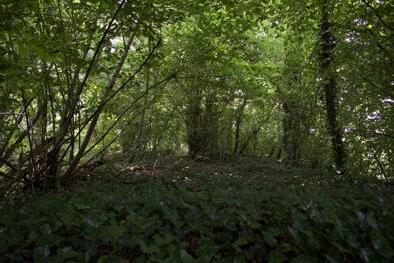
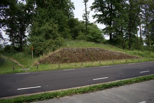
For a broader view of the Gelderse Vallei, I refer to the photographic atlas of the Gelderse Vallei in the appendix.
Scale of intensive livestock farming in the landscape
Diverse reclamation landscapes and landscape structures
Diverse reclamation landscapes and landscape structures
Landscape of estates
Landscape of the Grebbelinie and other military relics
Landscape of livestock farming
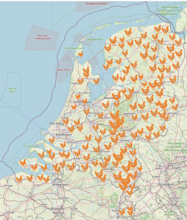
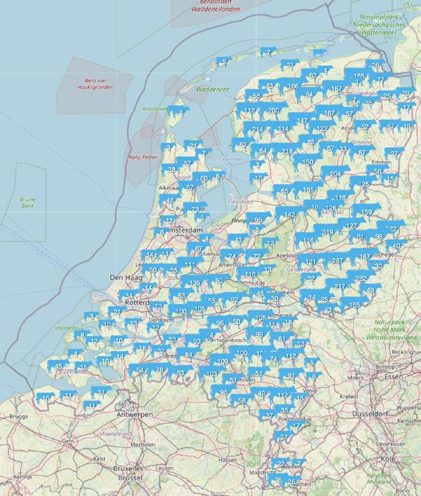
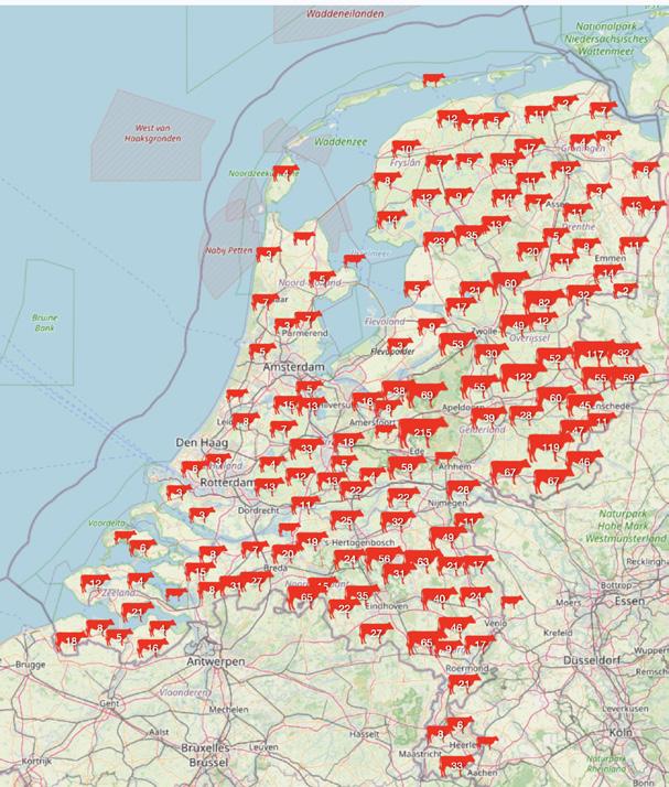
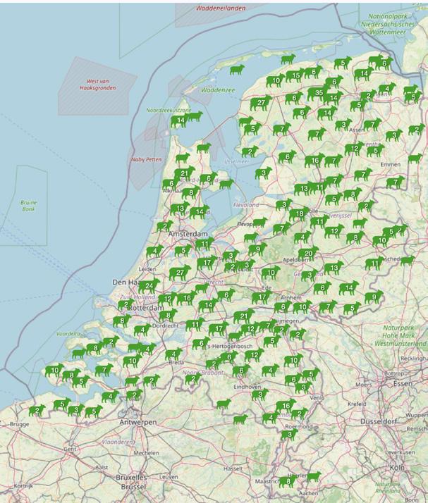
The Gelderse Vallei is one of the Dutch landscapes where intensive livestock farming has become most spatially dominant. This concentration emerged from poor sandy soils, small mixed farms, and a landscape where animal husbandry was often more viable than arable production. Around Barneveld, poultry and egg trade became a regional specialisation, later intensified through post-war scaling-up, imported feed, mechanisation, and the growing separation between livestock production and the land that could ecologically support it.
Today, this history is visible in a dense landscape of stables, sheds, maize fields, feed infrastructure, manure flows, and drainage systems. Its impact is spatial as well as ecological: intensive livestock farming occupies land, pressures soil and water systems, and contributes to nitrogen deposition near the Veluwe and Utrechtse Heuvelrug. The same nitrogen pressure also restricts housing, infrastructure, and other regional developments.
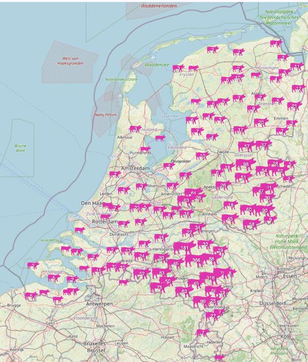
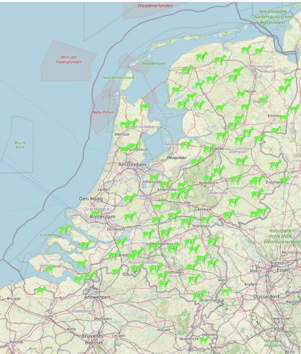
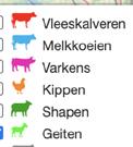
Livestock farms in the Netherlands.
Source: Veehouderijkaart Nederland
Conditions for verwouding in the Gelderse Vallei
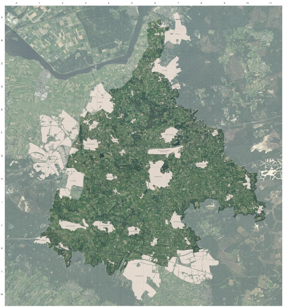
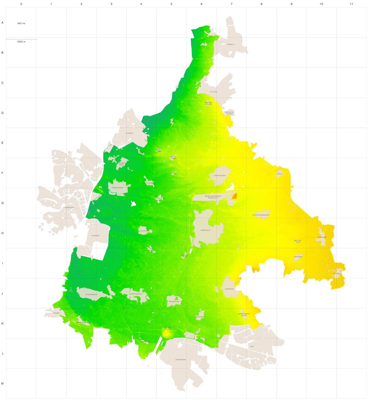
Aerial photograph
Elevation map
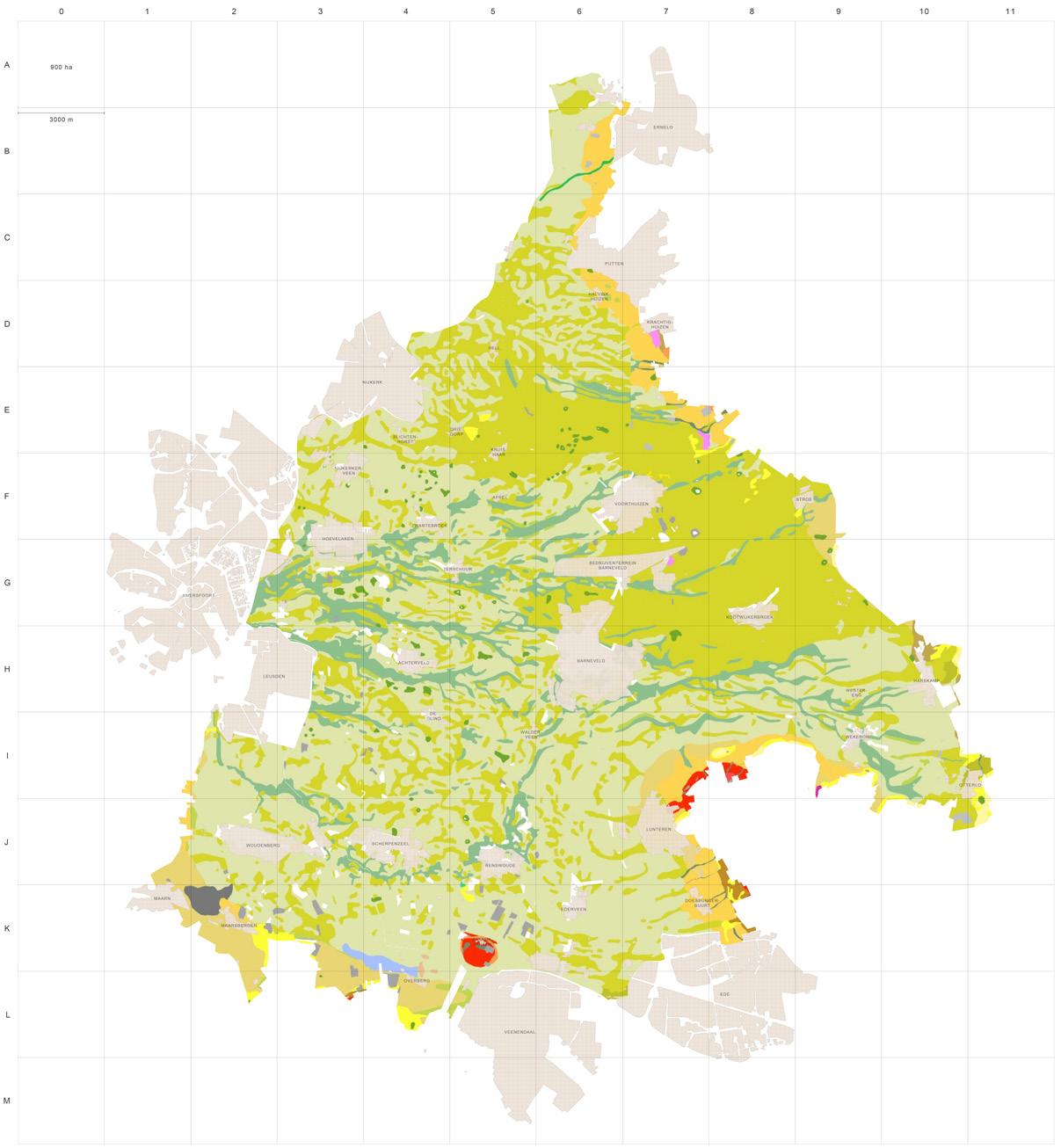
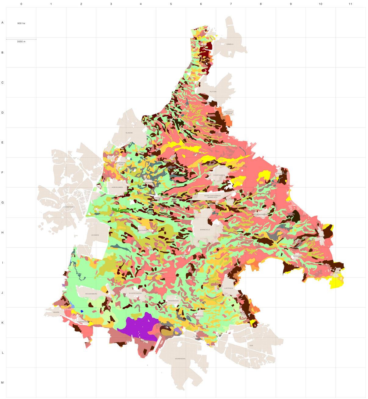
Although this area contains different sandy soil types and local variations in soil composition, these differences are not decisive at the strategic scale. For the direction of verwouding, hydrological conditions are more determining: dry sandy ridges, moist field margins, wet depressions, ditches, and peaty edges each guide a different woodland trajectory. Geomorphological
Within the verwouding case, the Gelderse Vallei is not treated as a single, entirely transformable territory. Areas such as the Arkemheen polder and the Binnenveldse Hooilanden are excluded, because they already function as valuable nature areas with distinct open, wetland, and meadow biotopes. They are not part of the intensive livestock landscape that this strategy seeks to transform. The focus therefore lies on the remaining agricultural landscape of the valley: the zone where intensive livestock farming, farmyards, fields, and drainage structures still define the present condition from which verwouding must begin.
Soil map
Geomorphological formation and landscape reclamation
1. Saalian glaciation — ca. 150,000 years ago
- Ice lobes occupied the basin of the Gelderse Vallei.
- The advancing ice pushed older sediments sideways and upward, forming the Veluwe and Utrechtse Heuvelrug push moraines.
- The valley became a glacial basin between these higher ridges.
- Meltwater and glacial processes left a sandy and gravelly subsoil that later shaped drainage, groundwater flow and soil development.
2. Interglacial woodland and coversand landscape formation — ca. 130,000–11,700 years ago
- During the Eemian interglacial, mixed deciduous woodland developed on the higher and better-drained grounds.
- Lower parts of the valley remained wetter, with marshes, wet woodland and peat-forming depressions.
- During the later Weichselian cold period, wind-blown coversands were deposited and reshaped the valley floor.
- Coversand ridges, shallow depressions and small-scale relief created the basic dry–wet pattern of the later landscape.
3. Early Holocene habitation and natural wetland mosaic — ca. 10,000 years ago
- With post-glacial warming, forest expanded across the higher sandy ridges and valley margins.
- The lower valley contained wet depressions, streams, marshes, peatforming areas and alder-willow wet woodland.
- Early human use concentrated on the drier ridges and valley edges, close to water but outside the wettest zones.
- Microrelief controlled local soil moisture, vegetation and settlement suitability.
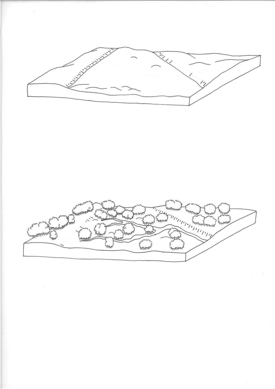
4. Medieval colonisation and small-scale reclamation
— ca. 1,000 years ago
- Settlement and cultivation expanded from the higher sandy ridges into the valley.
- Meadows, small fields and common grazing areas developed alongside remaining wet woodland, heath and peatland.
- Drainage began through ditches, shallow channels and stream-based water management.
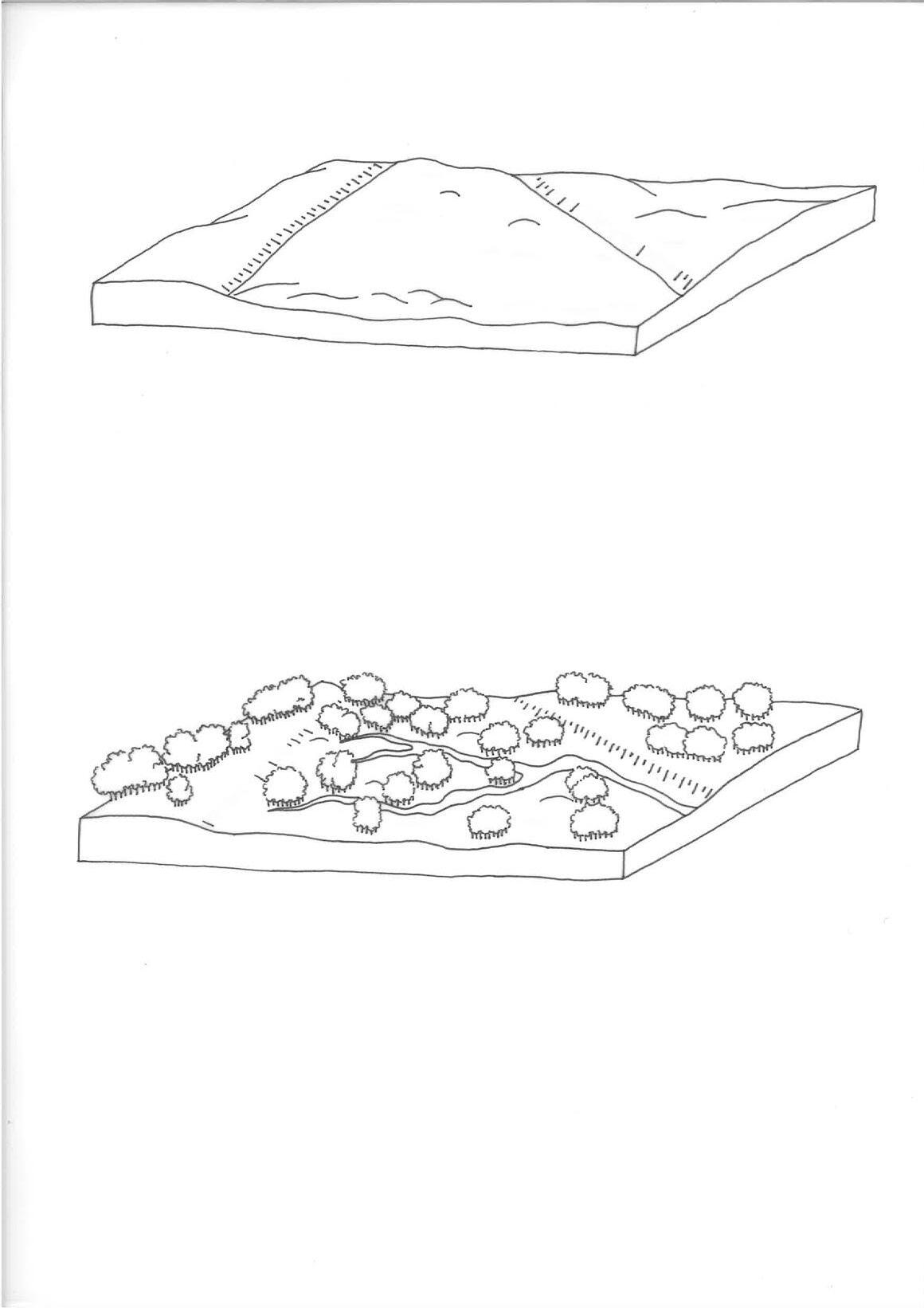
- Higher sandy grounds developed plaggen soils, while lower areas remained wet, peaty and vulnerable to subsidence after drainage.
- The first small-scale field patterns, hedgerows and wooded boundaries became established.
5. Large-scale reclamation and hydrological regulation
— ca. 150 years ago
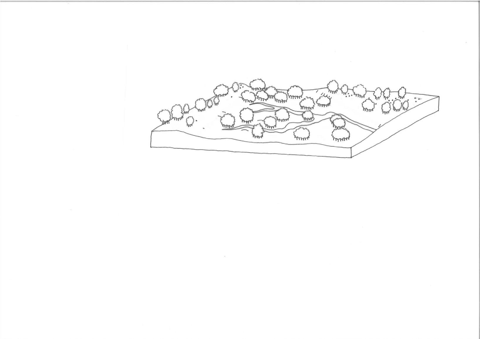
- Former wet commons, heathlands and “waste grounds” were increasingly reclaimed for agriculture.
- Ditches, drains and straightened streams intensified water control and made wetter lands usable as pasture.
- Parcel structures became more regular, while older wet woodland and peatland mosaics declined.
- The Valleikanaal and related drainage systems strengthened regional water discharge.
- Peat oxidation, soil subsidence and agricultural intensification altered the original wetland gradients.
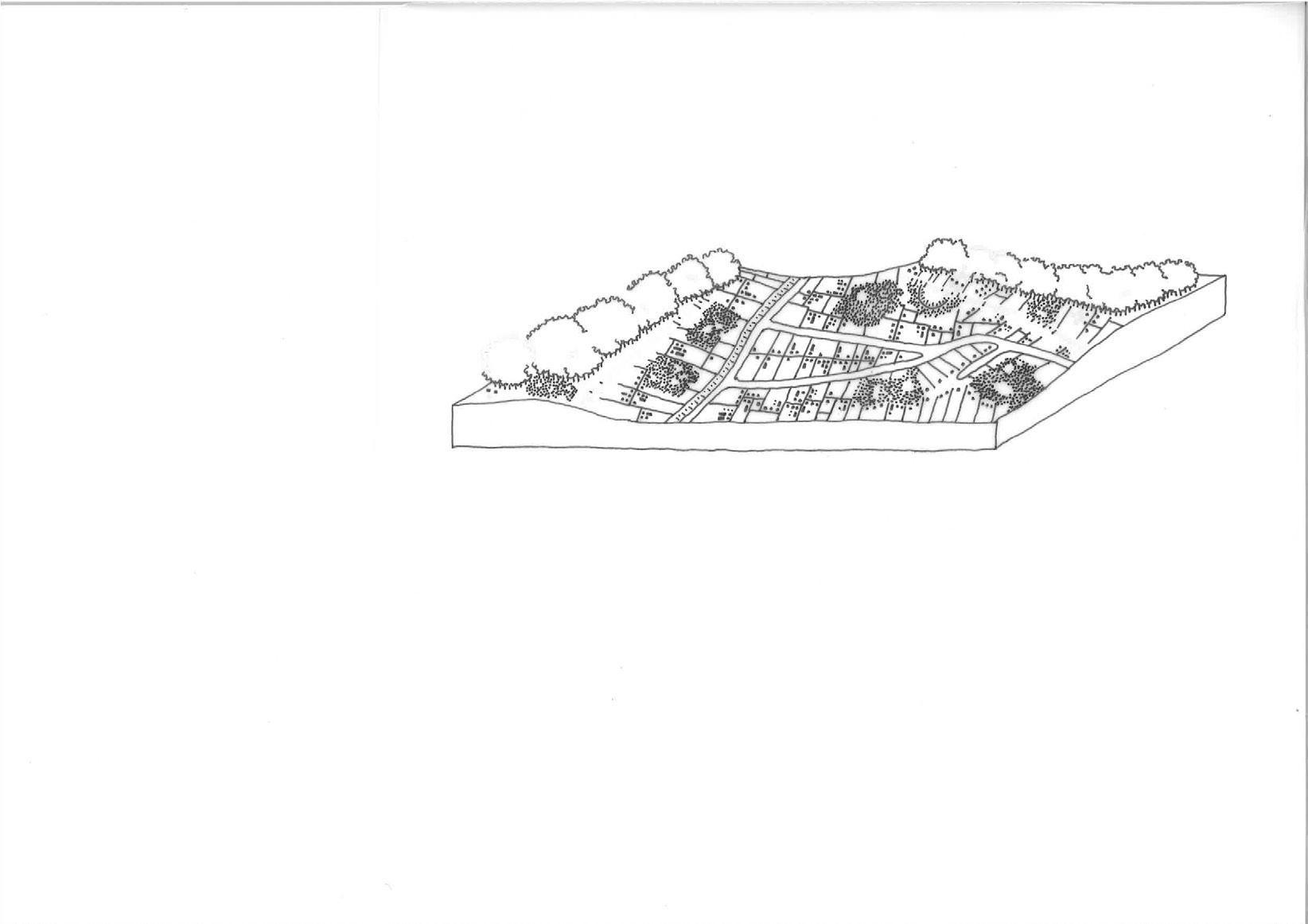
6. Intensification, enlargement and fragmentation
— ca. 50 years ago to present
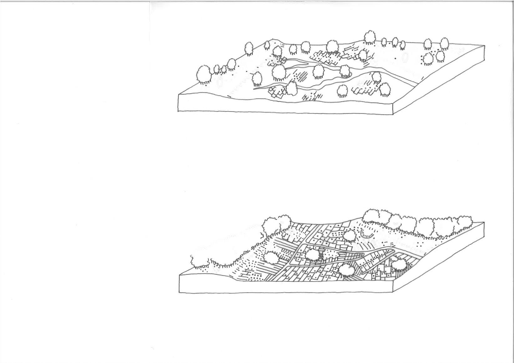
- Livestock farming became the dominant agricultural land use in large parts of the valley.
- Field enlargement, land consolidation and drainage created larger, more rational agricultural parcels.
- Straight ditches, managed water levels and engineered drainage increasingly replaced natural hydrological dynamics.
- Roads, farmyards, settlement expansion and infrastructure fragmented the historic landscape structure.
- Remaining woodland, hedgerows, estate edges and stream corridors now function as important ecological seed sources for future woodland succession.
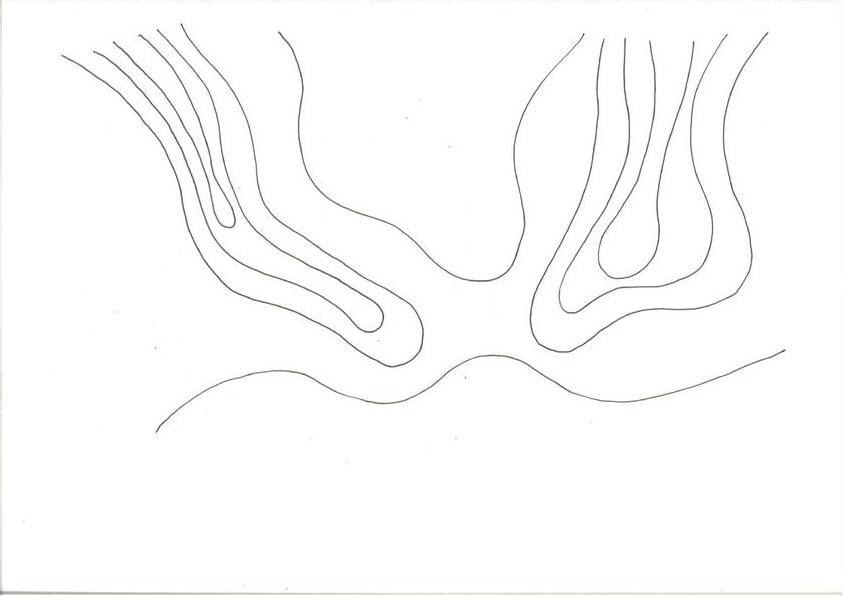
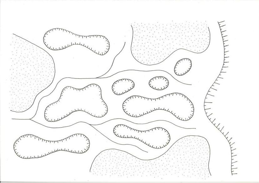
Cover sand ridge
moraine ridge
Low-lying depressions
Micro- and macrorelief structure groundwater, seepage, soil moisture and local shelter, thereby shaping succession across the Gelderse Vallei.
Carr woodland
Marsh Oak-beech forest Stream floodplains
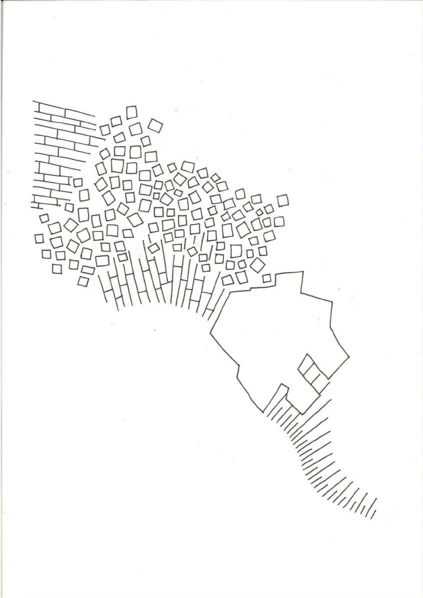
Former kampen reclamations on the higher, drier cover sand ridges, characterised by a small-scale mosaic landscape of tree rows, woodlots and hedgerows.
Linear peat reclamations perpendicular to the ridge within the wet lowlands
Settlement area
A relief and hydrological gradient in which the higher, drier and forested push moraine flanks gradually transition into the lower, wetter and more open reclamation and pasture landscapes of the Gelderse Vallei.
Conclusion
The analysis shows that, in this part of the valley, hydrology has been more decisive for vegetation and succession than differences between sandy soil types. Relief, seepage, groundwater, and runoff from the surrounding push moraines determine the wet–dry gradients that guide the direction of verwouding.
Glacial tongue
The Rhine River
Stream
Push
Hydrological restoration as a basis for verwouding
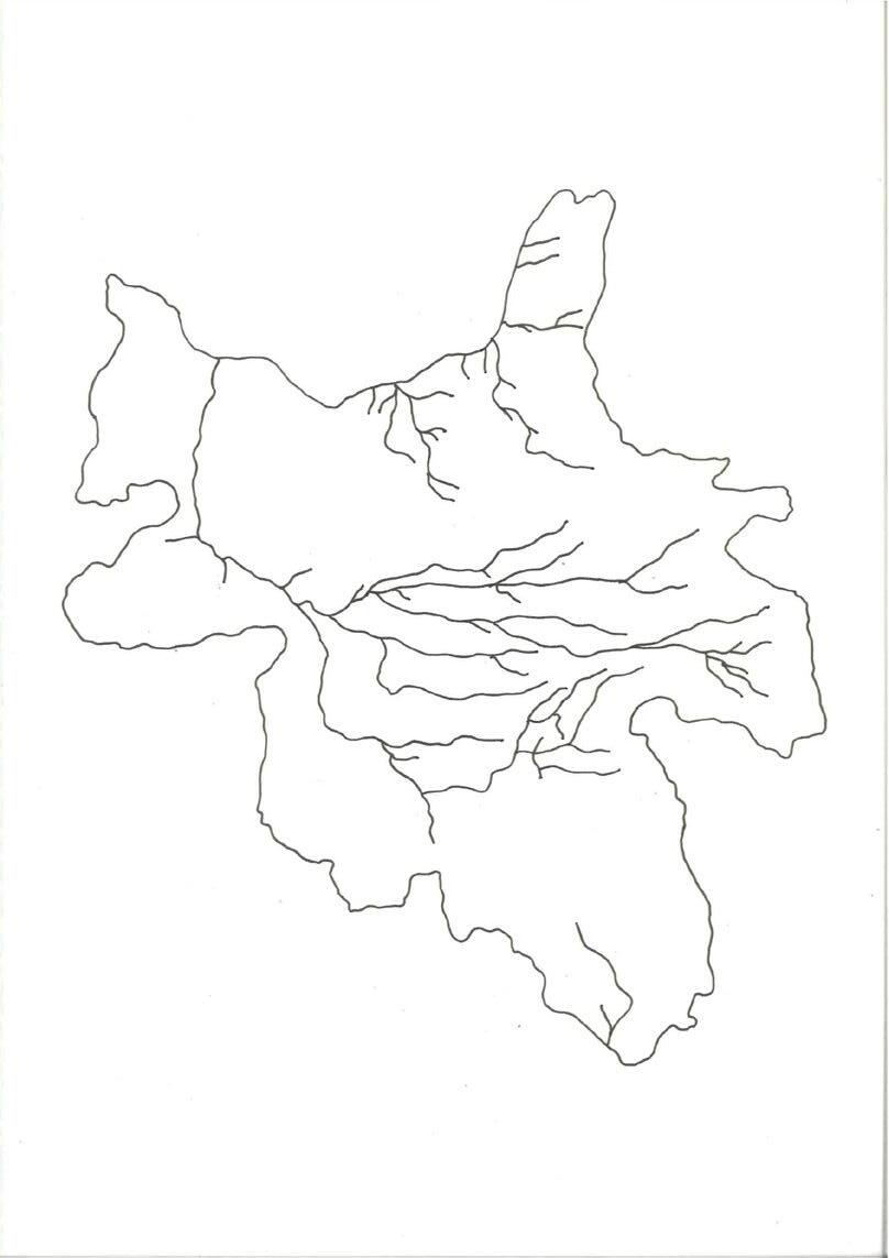
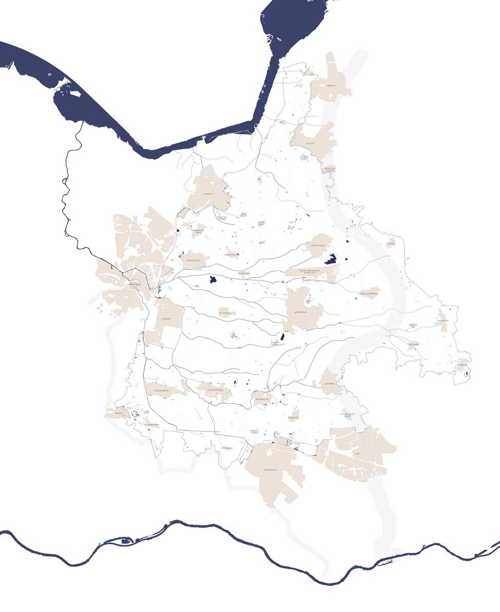
Historic stream network
Interventions in the water system of the Gelderse Vallei
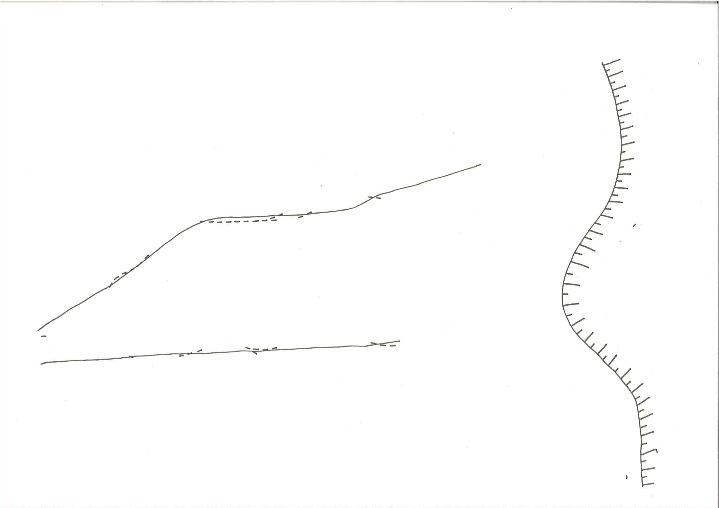
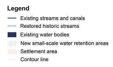
Re-meandering streams and raising stream beds
Streams that once meandered through the landscape were straightened, deepened and channelised to improve drainage.
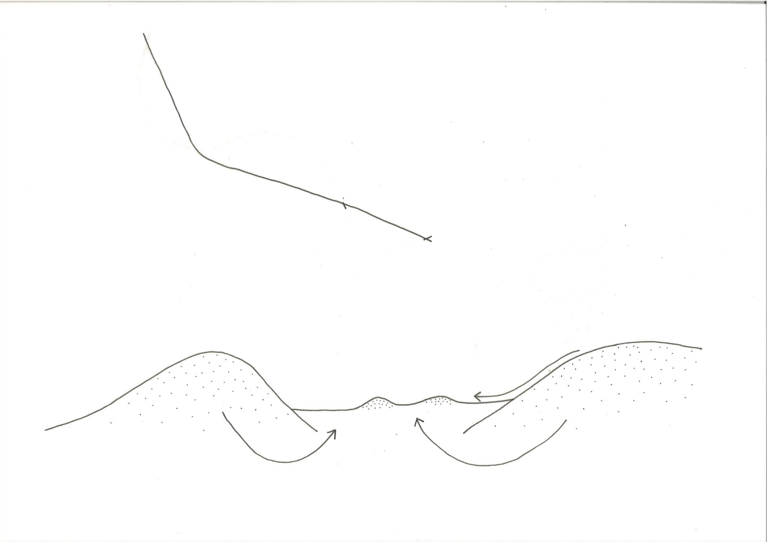
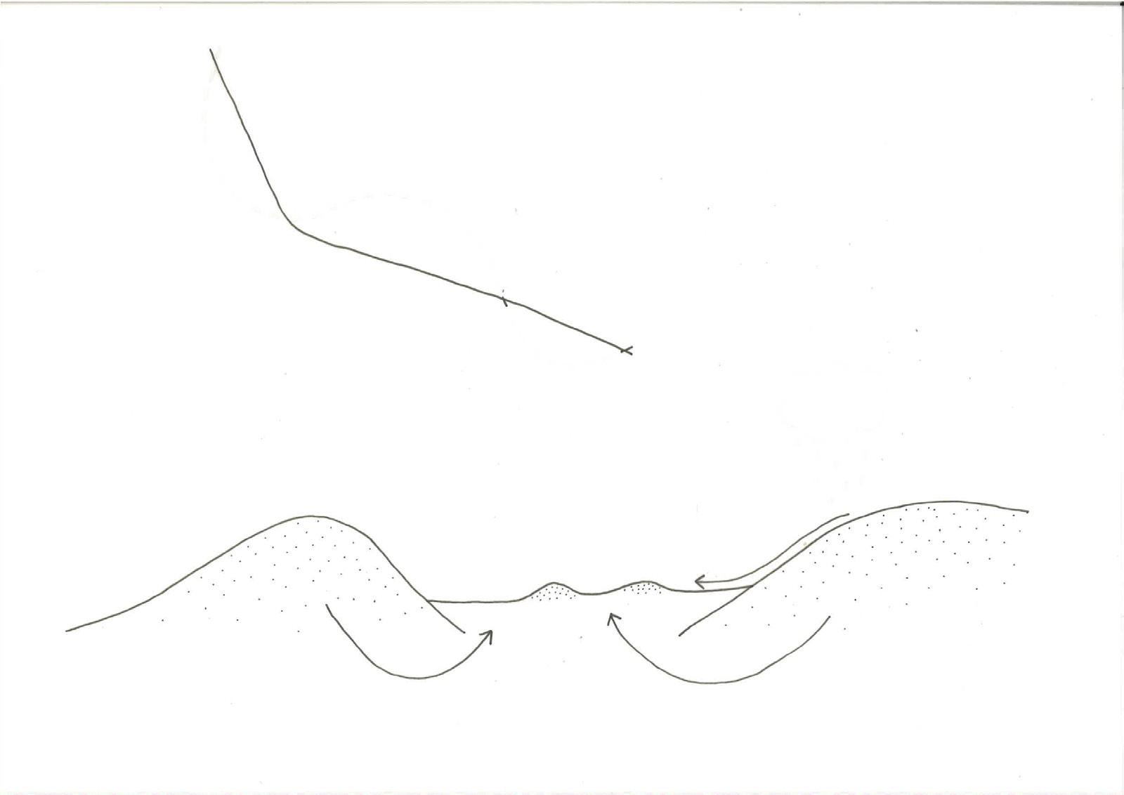
Small retention areas on the descending flank of the push moraine slow surface runoff towards the Gelderse Vallei, reducing peak discharge into streams and ditches. Converting steep banks into gently sloping banks
Restoring historic stream courses
Rainwater runoff Groundwater seepage
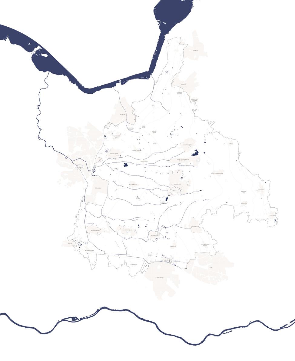
New conditions and basis for further design
Conclusion
Ending intensive livestock farming creates space to repair the hydrological system. Since hydrology is the main driver of succession in this part of the valley, the water system is redesigned to restore wet–dry gradients, slow runoff, increase retention, and give streams more room. This does not return the landscape to its historical condition: the Valleikanaal remains as a regional drainage structure, and housing and infrastructure limit full hydrological restoration. Instead, the proposal creates a new intermediate water system, between the present and the historical landscape. Restored stream corridors, wet depressions, seepage zones, and valley-edge retention areas form the hydrological basis for verwouding.
III. Verwouding: The long becoming of the woud
The verwouding strategy
Land value and cultural resistance
A central obstacle in the implementation of the Dutch Bossenstrategie is not the absence of ambition, but the economic and cultural structure of land itself. In the Netherlands, agricultural land carries a substantially higher market value than forest land. In 2024, the average price of agricultural land was €85,300 per hectare, while forest land was valued at €22,500 per hectare (Kadaster, 2025). In 2025, this difference remained large: agricultural land rose to an average of €95,400 per hectare, while forest land was valued at approximately €28,000 per hectare (Woltjer et al., 2026). For a private or commercial landowner, allowing agricultural land to become forest therefore often means accepting a significant devaluation of property. Even when land is no longer used intensively for food production, it may remain economically rational to keep it within an agricultural condition.
This economic imbalance is reinforced by subsidy systems that continue to attach value to certain forms of agricultural land use. Through the Agrarisch Natuur- en Landschapsbeheer programme, agricultural collectives can receive compensation for forms of nature-inclusive management. The programme is aimed at improving habitats for species, water quality, and climate goals, and is organised through cooperation between provinces, water boards, and the Common Agricultural Policy (Rijksdienst voor Ondernemend Nederland [RVO], 2026). In areas identified as potential meadow-bird habitat, tree planting can therefore be resisted not only from an agricultural perspective, but also from within nature policy itself.
This resistance should be understood carefully. Meadow birds are of great ecological and cultural value in the Netherlands, but the category of the “meadow bird” is itself historically bound to a cultivated landscape. Before large-scale human intervention, extensive grasslands occurred mainly in dynamic environments such as salt marshes and river floodplains. Several bird species that originally occurred in low densities in open landscapes such as steppes, raised bogs, and tundra were able to spread across the Netherlands through the expansion of meadow culture (BIJ12, n.d.). Natuurmonumenten similarly describes the former richness of Dutch meadow-bird landscapes as dependent on open, flower-rich, wet grasslands, while also noting the sharp decline of meadow-bird populations since the 1970s (Natuurmonumenten, n.d.).
The protection of meadow-bird landscapes is therefore not simply the protection of a primordial biotope, but also the protection of a culturally produced ecological condition. This does not diminish its value. Rather, it clarifies the nature of the choice being made. To prioritise meadow-bird management over forest development is not a purely ecological decision, but also a cultural one: a decision to conserve a specific image of the Dutch agrarian landscape. For a more elaborate reflection on this cultural ecology of the godwit and the charisma attached to meadow-bird landscapes, I refer to my essay Charisma of the Godwit, included in the appendix.
The bottleneck of the bossenstrategie
The current stagnation of the Bossenstrategie reveals the limits of a policy that is framed primarily around hectare targets, while insufficiently addressing the land-economic and cultural conditions through which those hectares must be made available. The national ambition, formulated in 2020, is to realise approximately 37,000 hectares of new forest before 2030 as part of the broader climate and nature agenda (Ministerie van Landbouw, Natuur en Voedselkwaliteit & Interprovinciaal Overleg, 2020). Yet its implementation has proven slow and spatially contested.
A 2026 analysis in Binnenlands Bestuur describes the implementation as faltering: six years after the launch of the strategy, “very little” had been realised, and the article notes that the PBL expected the target for new forests not to be met, partly because national steering had remained
insufficient. Staatsbosbeheer, one of the main actors in implementation, reported 1,350 hectares of realised new forest up to and including the 2025/2026 planting season, while bureaucracy, permitting difficulties, high land prices, and political hesitation were identified as key obstacles (Didde, 2026). This aligns with the broader critique formulated by the PBL that Dutch spatial policy requires sharper choices, clearer implementation structures, and stronger coordination between land-use claims, especially where housing, agriculture, nature, water, and climate objectives overlap (Planbureau voor de Leefomgeving [PBL], 2026).
The problem is therefore not only that not enough trees are being planted. The deeper issue is that the strategy relies on a spatial and institutional logic that does not sufficiently engage the private and commercial landowners who control much of the land where the largest transformation could take place. At the same time, the approach remains tied to the production of bos as a measurable land-use category: planted, counted, and managed. This is fundamentally different from creating the long-term conditions under which woud can emerge through succession, ecological autonomy, and cultural reorientation.
Costa Rica as a strategic parallel
A useful comparison can be found in Costa Rica, where I previously worked on a project during my studies at the Academy of Architecture. Costa Rica’s forest history offers a strong parallel to the current Dutch challenge, not because its tropical ecology can be directly translated to the Netherlands, but because it demonstrates how changing the economic position of forest land can alter the trajectory of an entire landscape.
Like many countries, Costa Rica experienced severe deforestation during the twentieth century. By the late 1980s, forest cover had fallen to approximately 21 percent of the national territory; by 2017, it had increased to approximately 57 percent (Cordero Pinchansky et al., 2021). Costa Rica also occupies an exceptional biogeographical position. Although it makes up only around 0.03 percent of the world’s landmass, it contains approximately five percent of the estimated species on Earth (Johnston, 2022). The loss of forest therefore represented not only a national land-use problem, but a global biodiversity concern.
In 1996, Costa Rica adopted Forest Law No. 7575, which created the basis for its Payments for Environmental Services programme. The law recognised forest ecosystems as providers of environmental services, including carbon sequestration, water protection, biodiversity conservation, and scenic beauty, and it prohibited land-cover change in established forests (Grantham Research Institute, n.d.). The programme compensated landowners for forest conservation and was financed partly through a fossil-fuel tax (Murguia et al., 2022). Through this mechanism, forest was no longer treated merely as economically unproductive land, but as land that generated public ecological value and therefore deserved payment.
The results have been widely recognised. Costa Rica’s PES programme is described by the UNFCCC as a state financial mechanism that makes direct payments to landowners for forest protection, reforestation, sustainable forest management, and agroforestry, bundling together carbon sequestration, biodiversity protection, water regulation, and landscape beauty as payable environmental services (United Nations Framework Convention on Climate Change [UNFCCC], n.d.). An Inter-American Development Bank evaluation similarly describes Costa Rica as an important example of forest preservation, noting an increase in forest cover from 25 percent of national land area in 1980 to 52.4 percent in 2021 (Murguia et al., 2022).
The significance of this example lies in the rebalancing of value. Landowners who might otherwise have maintained or expanded agricultural production were given a financial reason to conserve, regenerate, and manage forest ecosystems. The programme combined incentive and restriction: the payment for environmental services was paired with legal limits on forest conversion.
At the same time, Costa Rica’s model also shows the vulnerability of conservation strategies that depend on specific revenue streams and external economies. The Inter-American Development Bank notes that the fossilfuel-tax basis of the programme may become less secure as the country moves further toward decarbonisation (Murguia et al., 2022). In my paper Lost without a Pattern, included in the appendix, I discuss how Costa Rica’s nature-development model is also shaped by the expectations, economies, and spatial patterns of ecotourism. The lesson for the project is therefore not to copy Costa Rica’s model directly, but to learn from its central mechanism: if forest is to return at scale, the economic value system around land must be redesigned.
Towards a strategy for verwouding
The strategy for verwouding begins from the recognition that farmers and private landowners are central to landscape transformation. The conversion of agricultural land into conditions for woud requires an economic framework that makes this decision possible. Costa Rica provides a strategic precedent in this regard. Its Payments for Environmental Services programme changed the economic position of forest land by recognising carbon storage, biodiversity, water regulation, and landscape quality as public values deserving compensation. Within the Gelderse Vallei, this principle is translated into a spatial exchange between nitrogen reduction, housing, biodiversity restoration, and the long-term emergence of woud.
The Gelderse Vallei lies between the Veluwe and the Utrechtse Heuvelrug, two sandy landscapes with nitrogen-sensitive ecosystems. High ammonia emissions from intensive livestock farming contribute to nitrogen
deposition in the valley and its surrounding nature areas. At the same time, nitrogen pressure constrains housing, infrastructure, economic development, and ecological restoration. The strategy therefore proposes the structural phase-out of intensive livestock farming within the areas selected for verwouding.
This transition is linked to a conditional change in planning status at former farmyards. Agricultural building plots can be redesignated for clustered residential development, provided that new housing remains within the existing erf structure and that the surrounding agricultural land is permanently committed to verwouding. The resulting increase in land value does not function as full compensation for ending intensive livestock farming. It forms one additional financial contribution within a wider transition framework.
Public payments for the ecological services generated through verwouding, inspired by the value logic of Payments for Environmental Services, remain necessary to compensate landowners for the long-term conversion of agricultural land. The value created through residential development can reduce part of the remaining financial burden and contribute to the costs of dismantling stables, feed infrastructure, manure facilities, and other intensive livestock systems. It can also support hydrological restoration, early ecological development, and the adaptation or construction of buildings needed for small-scale forms of livestock keeping. The change in planning status therefore makes part of the transition financially possible through spatial legislation, while public compensation remains necessary to secure the ecological value of the emerging woud.
Housing is treated as a conditional financial and spatial instrument within the transition. The reduction of intensive livestock farming may contribute to reducing nitrogen pressure in the Gelderse Vallei, while clustered residential development remains tied to the permanent transformation of the surrounding land. In this way, the strategy connects carbon sequestration, nitrogen reduction, biodiversity restoration, housing, and cultural continuity.
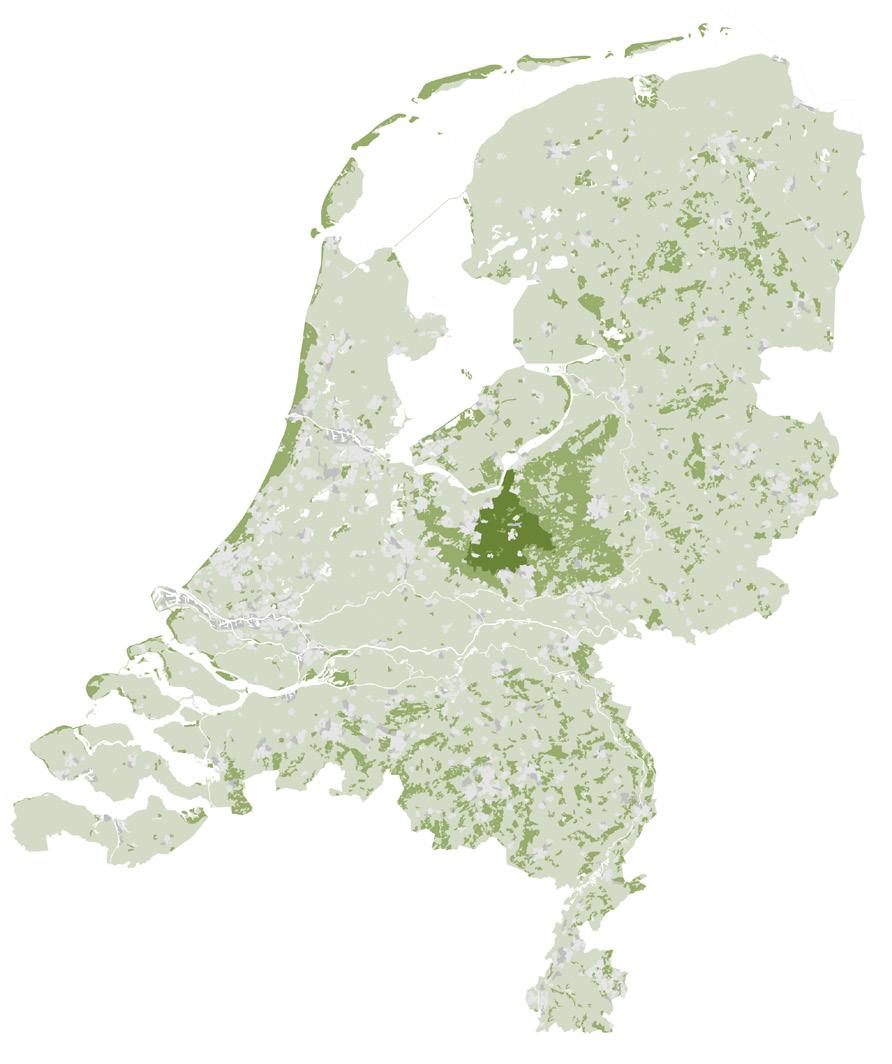
Existing forest area in the Netherlands
Proposed area for verwouding in the Gelderse Vallei
The verwouding strategy
The aim is not to erase all traces of agriculture. Smallscale livestock keeping, orchards, agroforestry, gardens, and local forms of production may remain where they fit within the ecological carrying capacity of the new landscape. Around the residential erven, these uses can form transitional zones between habitation and the former agricultural fields that are set on a trajectory of verwouding. Selected open areas may continue to be maintained through limited grazing or other locally appropriate practices, while the larger areas directed towards succession remain protected from continuous disturbance. Cultural continuity is therefore carried forward through the transformation of the erf, its spatial memory, and its relationship to the surrounding land.
Inhabitation and reciprocity
The transformation of former farmyards into residential erven also creates the conditions for a community to grow alongside the emerging woud. A new woud culture cannot arise through policy, compensation, or ecological restoration alone. It develops through repeated encounters between people, plants, animals, water, weather, and seasonal change. Daily inhabitation gives residents a direct relationship with a landscape that is gradually becoming less agricultural, more autonomous, and more difficult to control.
This relationship should be understood as reciprocal. Robin Wall Kimmerer describes the Honorable Harvest as an ethical framework in which taking from the living world creates an obligation to give something back (Kimmerer, 2024). Within the strategy for verwouding, this does not prescribe a fixed ritual or moral code. It clarifies the structure of the proposed exchange. The emerging woud contributes to a more diverse and less production-intensive living environment, while residents and landowners accept long-term limits on land use, contribute to the transition, and help maintain the cultural interfaces between habitation and woud.
These interfaces include paths, water edges, orchards, gardens, small-scale grazing areas, and the nemoreta. They form the places where shared use, care, memory, and new rituals can develop, while the larger woud is gradually released from intensive management. This distinction is essential. The purpose is not to turn the woud into a collectively managed garden, but to create a resident community that can live beside an increasingly autonomous landscape and recognise its ecological limits.
For farmers, this transition involves more than the ending of an economic activity. It affects family histories, practical knowledge, buildings, and landscapes that have often been shaped over several generations. Compensation and residential development therefore cannot be treated as complete substitutes for an agrarian way of life. The strategy keeps room for farmers and landowners who wish to continue with small-scale, landscape-supportive forms of production. Cultural continuity is carried forward through the transformation of the erf, through local knowledge, and through agricultural practices that support the emerging woud rather than suppress its succession.
Succession and legal autonomy
The next stage of the strategy concerns the transformation of former agricultural land through succession, supported where necessary by applied nucleation. The objective is to establish the conditions through which woud can gradually emerge. Planting functions as a catalyst within a longer ecological process, while hydrological restoration, existing seed sources, landscape structure, and spontaneous recruitment guide the direction of development.
Because the economic and ecological risks of this transition remain high, the strategy combines compensation, obligation, and long-term legal protection. Within the design case, intensive livestock farms are assumed to be subject to mandatory buy-out. Agricultural land outside the residential erf is converted into woud-
development area. Land immediately surrounding the erf may remain available for small-scale agricultural, horticultural, or pastoral uses where these contribute to the spatial and ecological structure of the larger landscape.
During the first fifty years, the land remains legally anchored in a transitional structure that binds the owner, managing entity, and residential development to the process of verwouding. This structure protects the developing woodland from renewed intensive production, speculative land conversion, and changes in ownership. It also secures the financial and spatial conditions under which the first woud generation can establish itself.
After this initial period, the developing woud is transferred into an autonomous legal entity. This legal-spatial instrument protects the woud beyond ordinary planning cycles, market fluctuations, and political shifts. It allows the landscape to acquire a duration, agency, and future that extend beyond the interests of individual landowners or residents.
The full temporal horizon of the project remains approximately 800 years. Such a timespan exceeds the legitimate scope of detailed design projection. The research therefore focuses on the first hundred years of succession, spatial structuring, habitation, and cultural reorientation. The following chapter translates this strategy into spatial, ecological, and temporal terms. It examines how former agricultural fields begin to transform through succession, how applied nucleation guides early biotope formation, how residential erven relate to the emerging woud, and how a landscape once organised around intensive production can gradually become an animate landscape of ecological autonomy, shared responsibility, memory, and belonging.
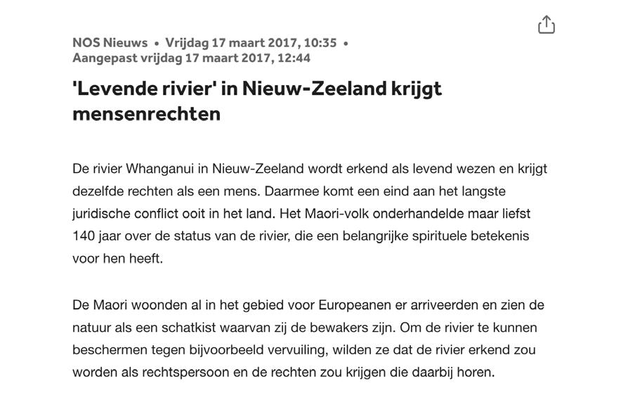
Legal personhood as a precedent for landscape autonomy.
NOS article on the Whanganui River in New Zealand, which was legally recognised as a living entity with rights comparable to those of a person. The case shows how a landscape body can be protected beyond conventional ownership structures by granting it legal representation and autonomy. In this project, the example supports the proposal to eventually transfer the developing woud into an autonomous legal entity, allowing it to endure beyond individual landowners, market pressures, and political cycles.
Verwouding structure maps
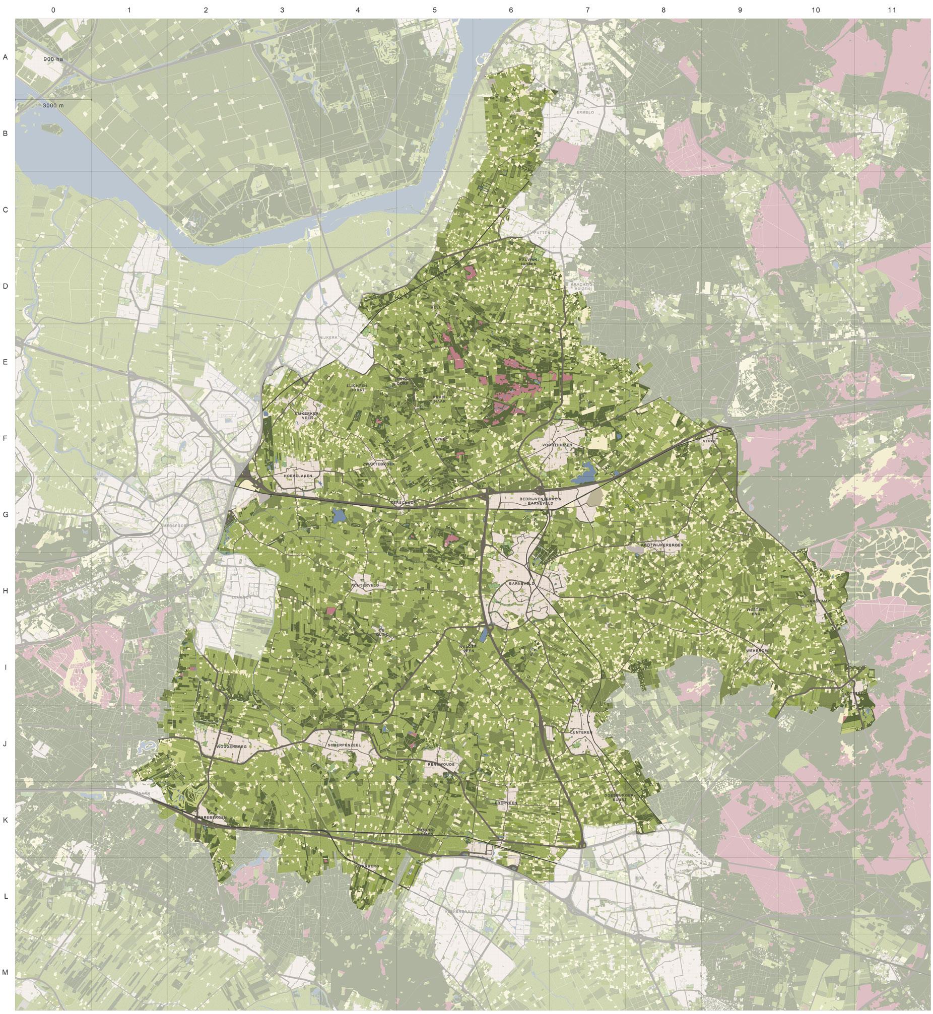

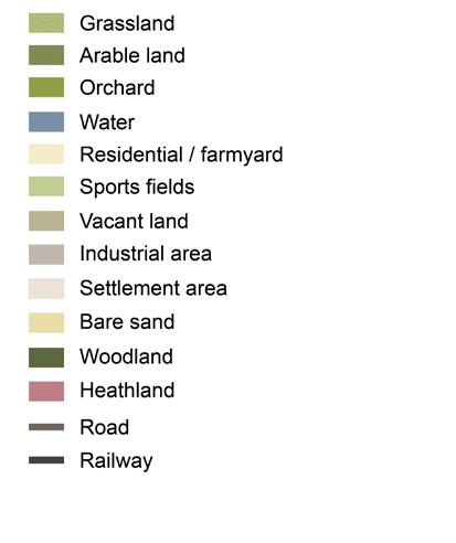
The existing landscape forms the starting point for the verwouding structure maps. It shows the Gelderse Vallei as an agricultural valley shaped by reclamation patterns, farmyards, fields, drainage lines, and remaining landscape fragments. Together with the adapted water system, this condition becomes the spatial basis for verwouding. Settlements and infrastructure are retained, while the contour focuses on the agricultural land between the Veluwe and the Utrechtse Heuvelrug, where forest expansion, ecological connection, nitrogen reduction, and hydrological repair can coincide. The Arkemheen polder and Binnenveldse Hooilanden are excluded because they already function as designated nature areas and do not belong to the intensive livestock landscape that this strategy seeks to transform.
Verwouding structure maps
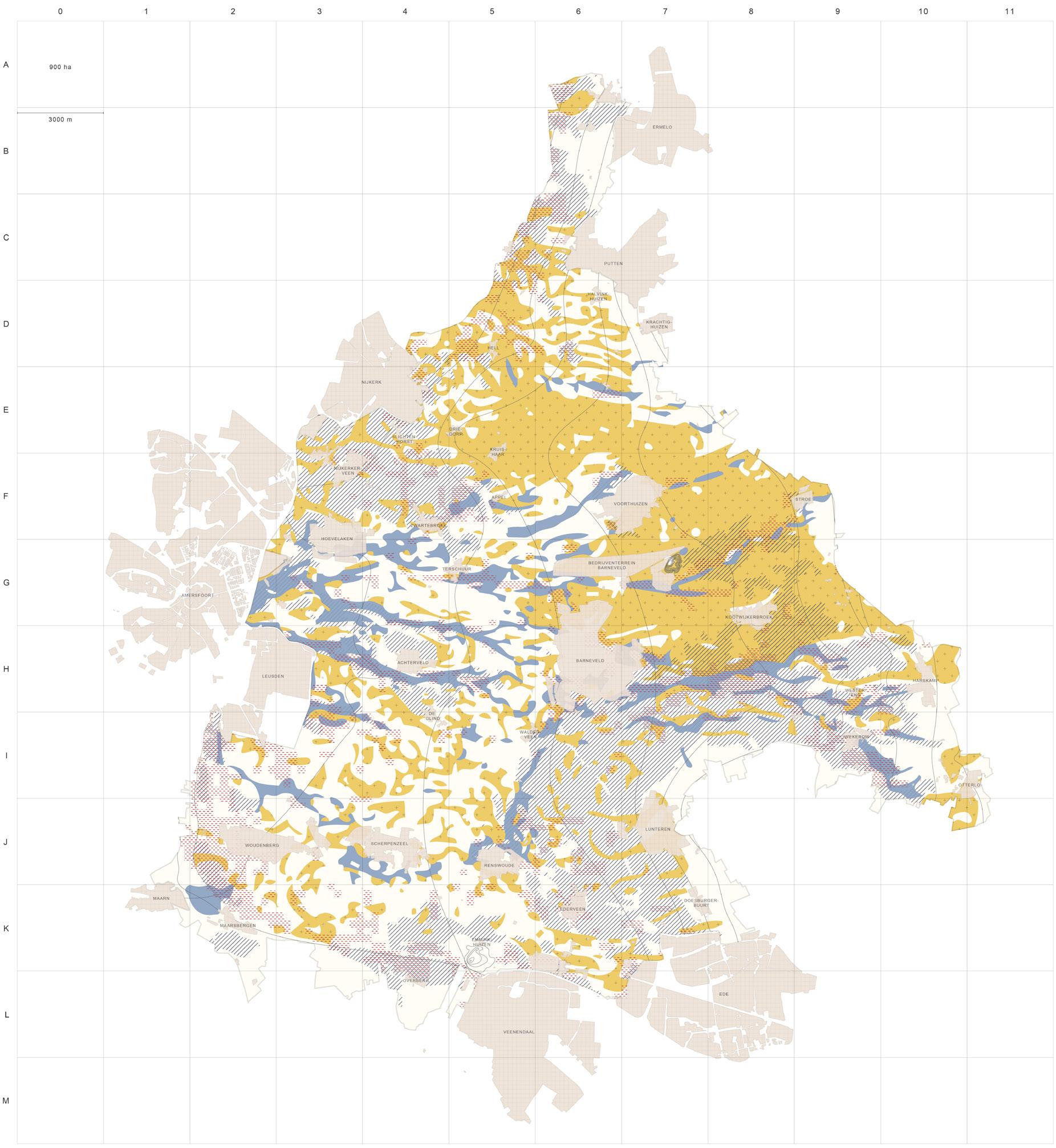
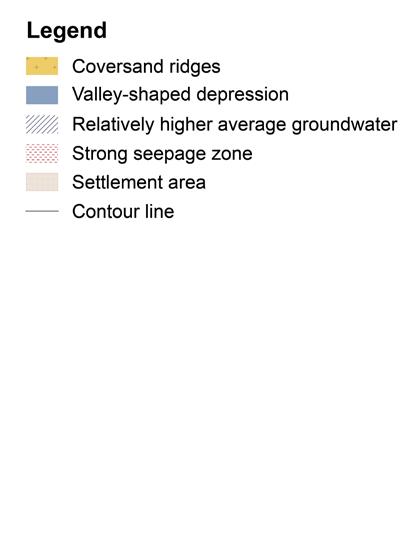
The coversand ridges, valley-shaped depressions, groundwater patterns, and seepage zones each create different conditions for succession. Together, these landscape elements define where the future woud becomes drier or wetter, more open or dense, and more or less accessible. They also guide the woodland types that can emerge: Birch–Oak woodland on drier sandy ridges, Alder–Oak transitions in moist zones, and Tall-herb Alder woodland or Alder carr in the wettest depressions and seepage areas.
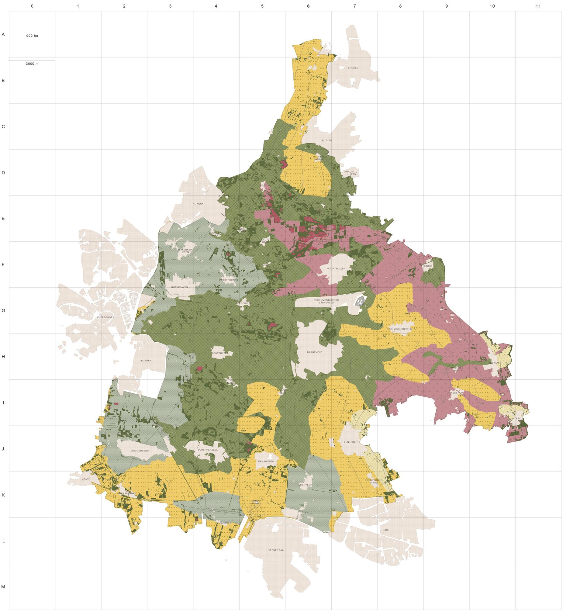
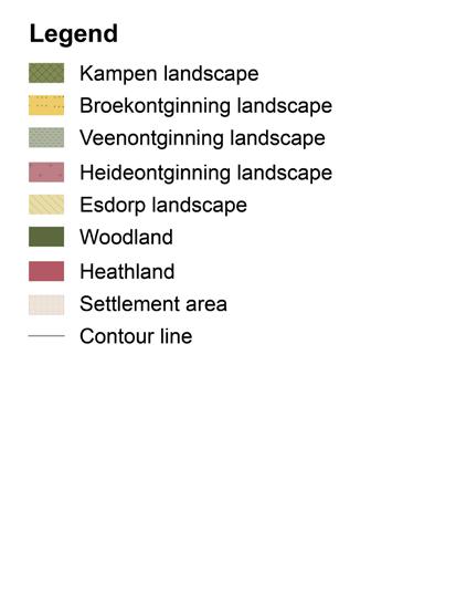
This map adds the cultural-landscape layer to the construction of the woud map. It shows how different reclamation types have produced distinct spatial structures: small-scale kampen landscapes, linear peat and heath reclamations, open brook valleys, older woodland edges, and settlement patterns. These inherited structures do not yet define the woodland types themselves, but they determine the spatial framework in which verwouding will later take place. They influence parcel rhythm, edge conditions, openness, accessibility, and the way succession can be guided without erasing the existing landscape grammar of the valley.
Verwouding structure maps
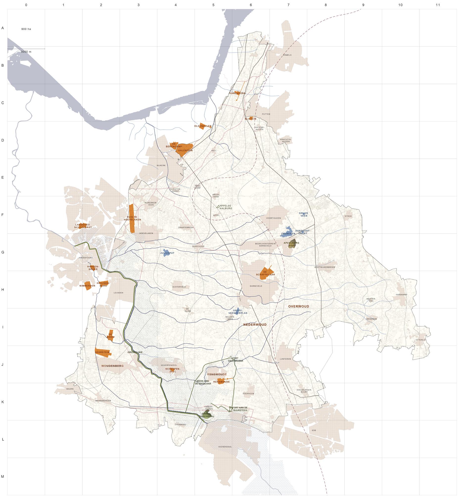
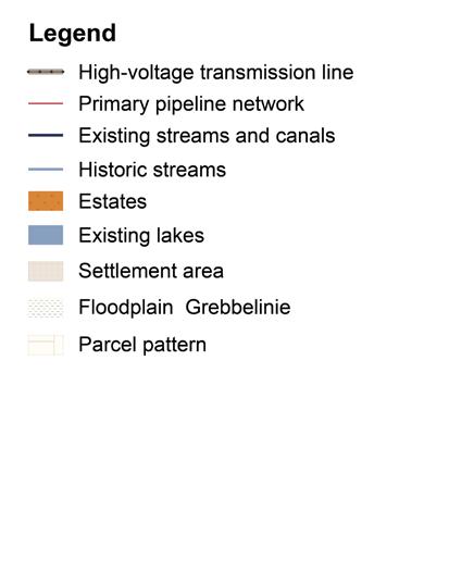
This map adds the layer of persistent landscape elements that will continue to shape verwouding. Settlements, estates, roads, streams, canals, lakes, parcel patterns, high-voltage lines, and pipeline corridors are not erased, but become conditions around which succession develops. Some structures actively limit woodland growth: beneath high-voltage lines only low coppice can persist, while pipeline easements must remain free of trees. As a result, a secondary network of linear openings, maintenance zones, coppice strips, and informal routes will appear within the woud. These routes are not added as a designed path system, but emerge through technical constraints, access needs, and use over time. The map also includes woud-related toponyms, such as Overwoud and Nederwoud, which suggest older distinctions between higher and lower wooded landscapes.
Predicted forest communities after 100 years of succession
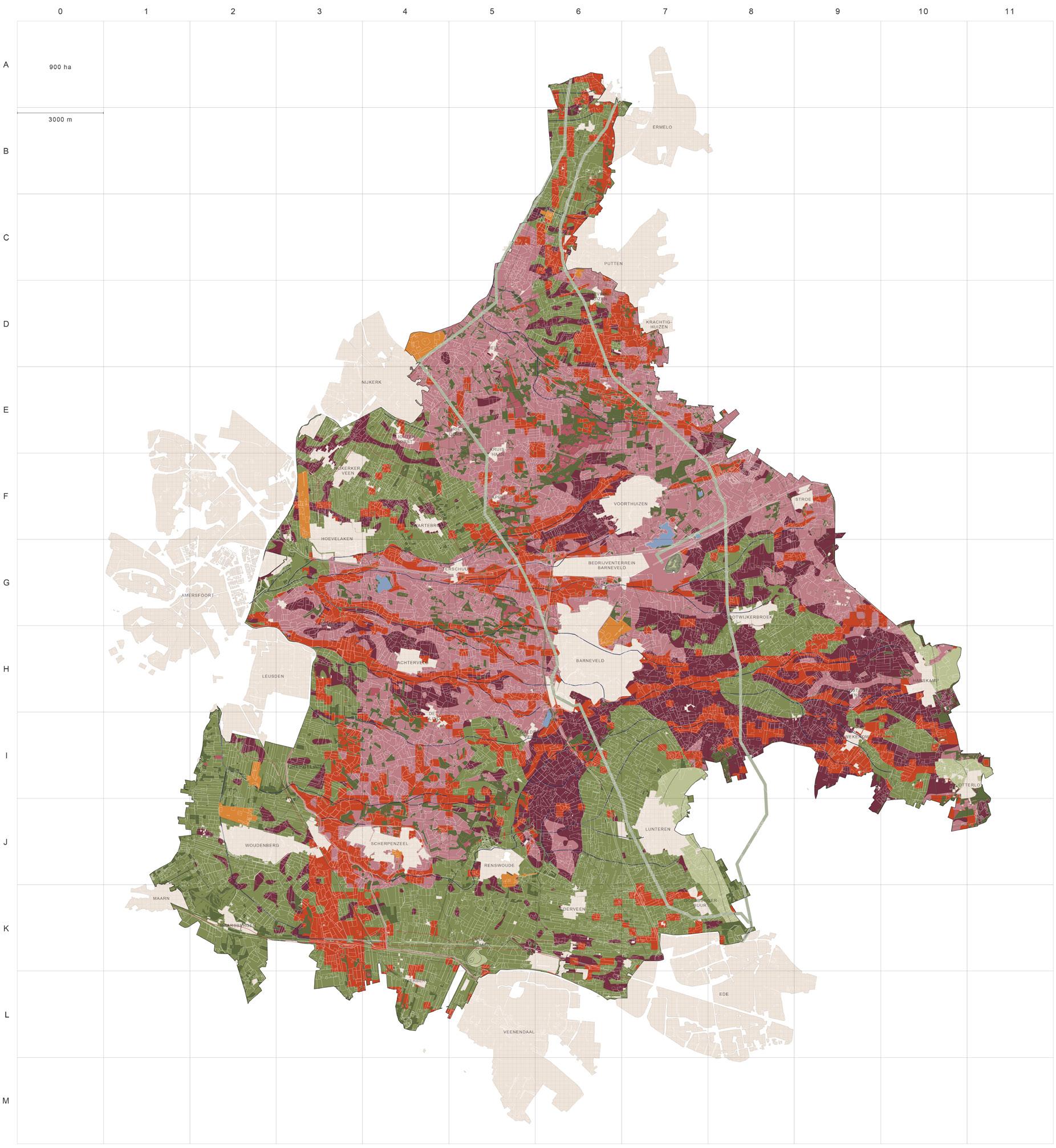
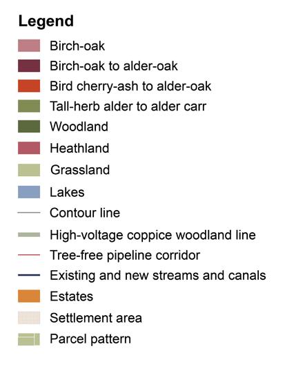
This map brings the preceding layers together into a projected woud condition after one hundred years of succession. The predicted woodland communities follow the valley’s hydrological and geomorphological gradients: Birch–Oak woodland on drier sandy grounds, Birch–Oak to Alder–Oak transitions in moist zones, Bird cherry–Ash to Alder–Oak along richer stream corridors, and Tall-herb Alder woodland to Alder carr in the wettest depressions. Existing settlements, estates, infrastructure, utility corridors, streams, lakes, and parcel patterns remain legible within this new landscape, each with its own influence on the form, access, edges, and development of verwouding. The result is not a uniform forest cover, but a varied young woud shaped by soil, water, inherited landscape structures, and the continuing presence of human infrastructure.
Verwouding - applied nucleation succesion
Mother Trees as Ecological and Cultural Anchors
This strategy combines applied nucleation, existing hedgerows, and selected mother trees to guide natural succession on former agricultural land. Nucleation clusters accelerate woodland development, hedgerows act as existing ecological source lines, and mother trees provide long-term spatial anchors within the emerging woud.
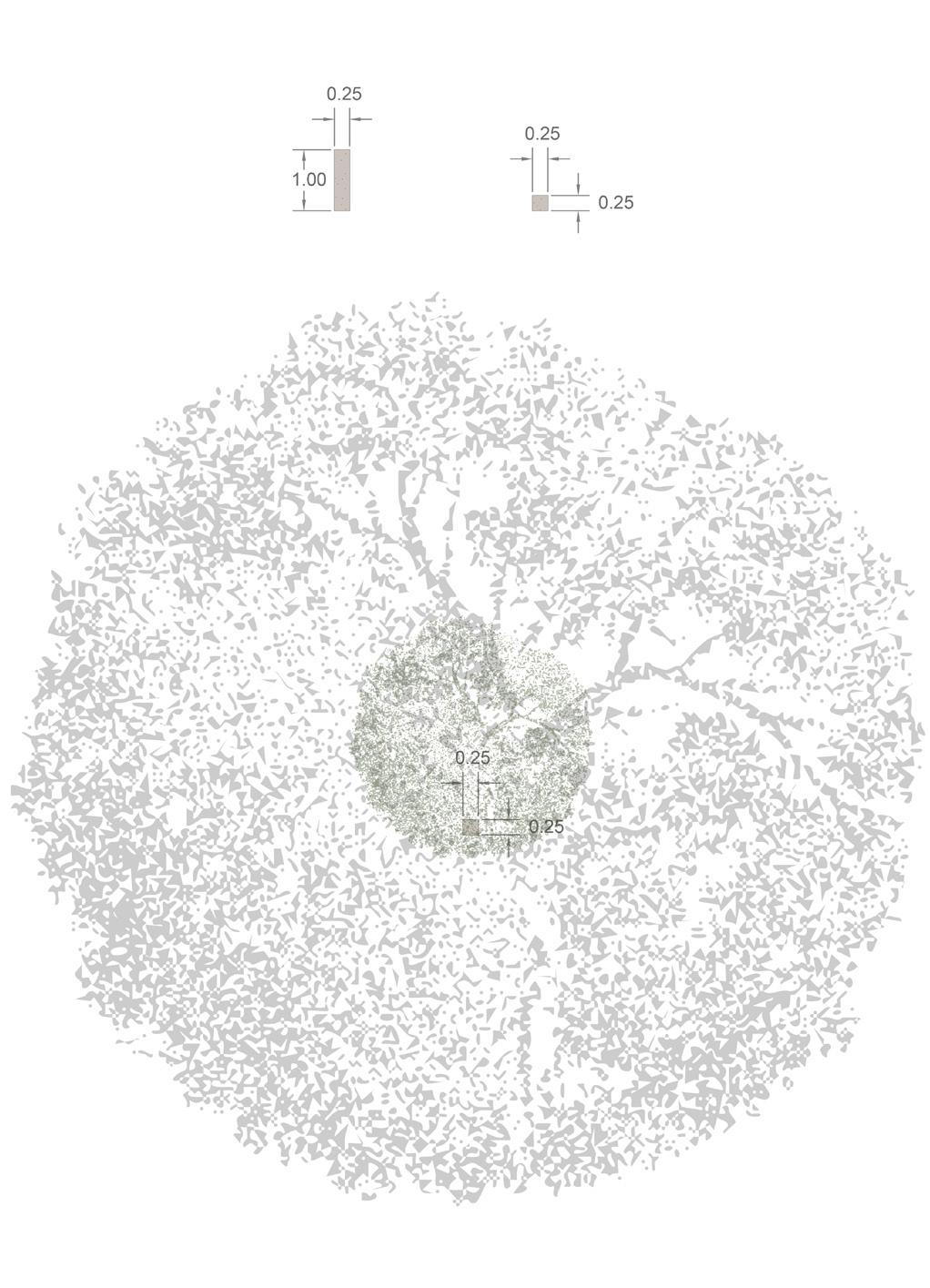
Each mother tree is marked by a small concrete element. While the tree lives, the marker identifies it as a specific presence within the landscape; after the tree has died and decayed, the marker remains as a trace of its former role. Through a code, each marker can be linked to a story: the history of the tree, its seed origin, or the reason for its adoption. Some mother trees may originate from culturally charged sources, such as offspring of the dancing beeches of Speulderbos or the Wodanseiken of Wolfheze.
In this way, the mother tree becomes more than an ecological instrument. It can also become a birth tree, memorial tree, or adopted tree, connecting existing rituals of planting and remembrance to the long development of the woud. As discussed with cultural anthropologist Irene Stengs, new rituals are strongest when they connect to existing moments of transition, such as birth, mourning, marriage, or coming of age. The marked mother trees therefore help make verwouding culturally legible: they give people a way to recognise, remember, and become attached to a landscape that will continue to grow beyond their own lifetime.
Mother tree marking
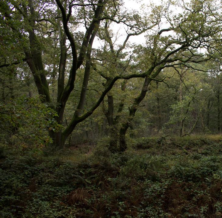
Over time, the form and influence of the mother trees will create an effect comparable to that of the Wodan oaks at Wolfheze: imposing, distinctive trees that stand out within the woud
Spatial and Management Rules Nucleus size
Approximately 100 m², for example 10 × 10 m.
Distance between nuclei
Approximately 15–20 m. Nuclei are placed more densely within open field interiors and more loosely near existing hedgerows.
Mother tree density
Approximately one marked mother tree per 4 ha, equal to an average spacing of about 200 m.
Competition-free zone around mother trees
An open circle of 20–30 m in diameter around each mother tree.
Management of the mother tree zone
Woody regrowth and dense shrub development are mown or removed to keep the crown zone open.
Duration of open management
40–50 years, allowing broad lateral crown development.
Long-term outcome
Once the mother tree has developed a strong opengrown crown, woodland succession may gradually close around it.
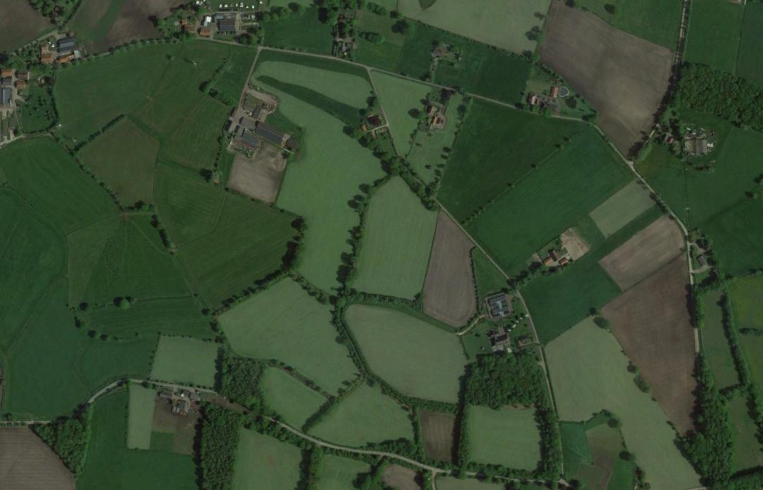
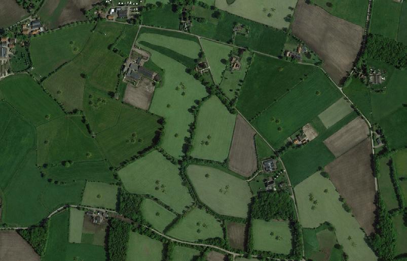
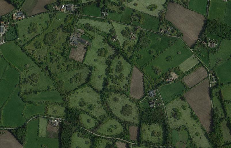
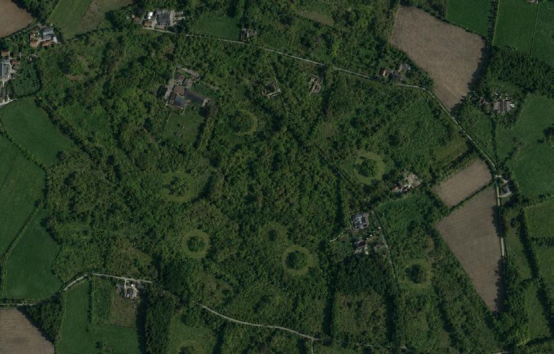
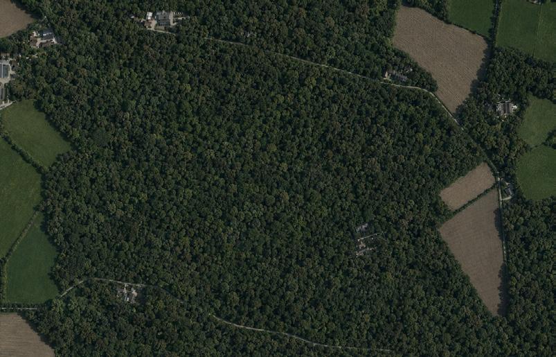
Initial phase
Small nucleation clusters are introduced within the open agricultural matrix. Existing hedgerows remain the primary landscape structure, while selected mother trees are planted with sufficient space around them to develop broad, recognisable crowns over time.
Early succession
After 10–15 years, the nucleation clusters begin to expand, supported by spontaneous regeneration from the hedgerows. The open field gradually shifts into a mosaic of rough vegetation, scrub, and young woodland.
Managed release phase
After 20–30 years, rough vegetation and young woodland dominate the site. The mother trees are still released through small mown circles, giving their crowns space to develop laterally before the surrounding woodland closes in.
Mature woodland
After approximately 100 years, the nucleation clusters, hedgerows, and mother-tree zones have largely merged into a continuous woodland matrix. The initial design structure remains only subtly legible within the mature bos.
Verwouding of the kampen landscape
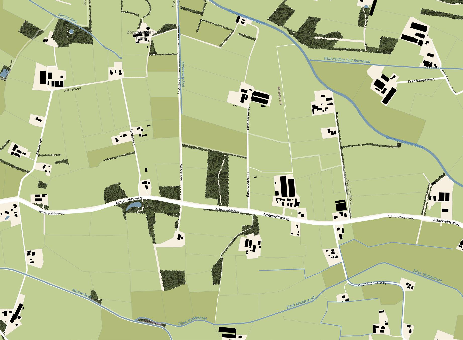
Existing conditions
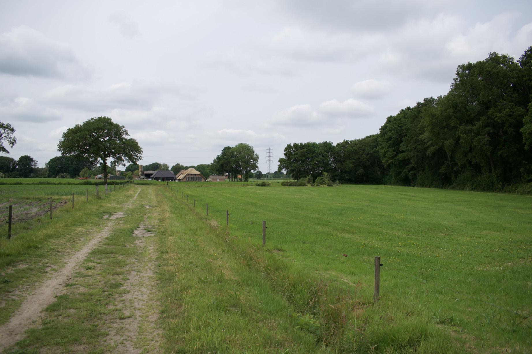
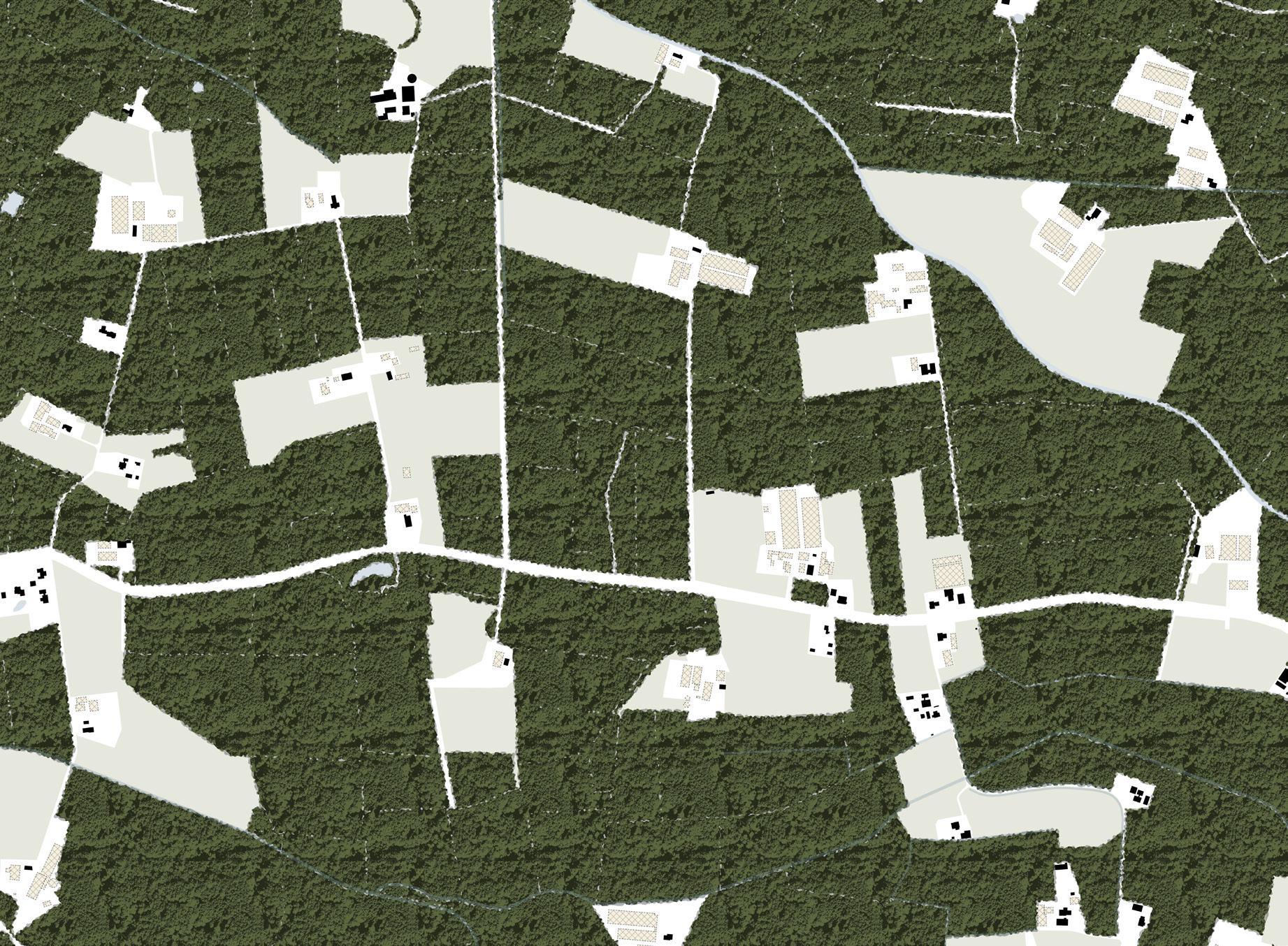
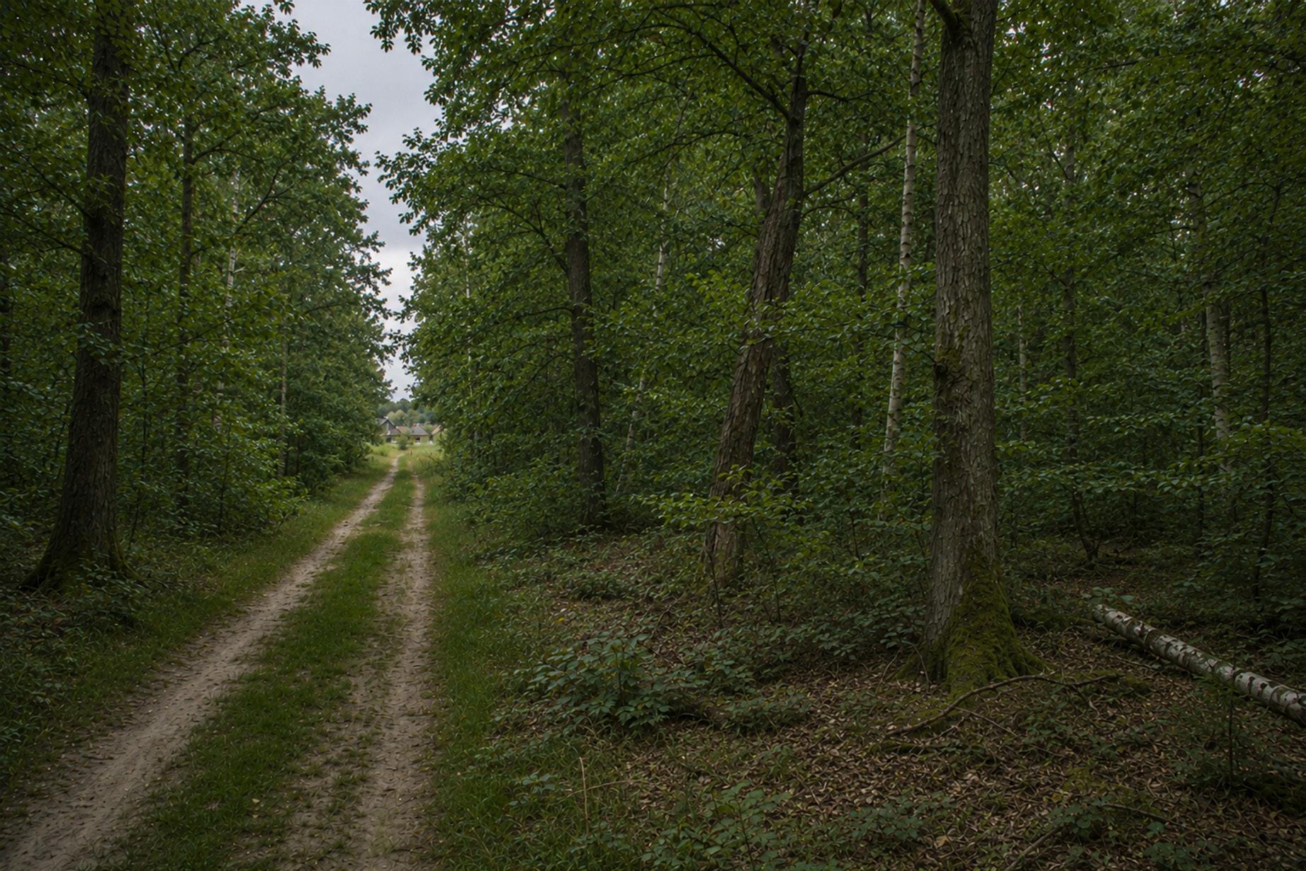
Verwouding of the kampen landscape
Phase 0 start
Ending intensive livestock farming, demolishing the associated infrastructure and developing housing on the released plots
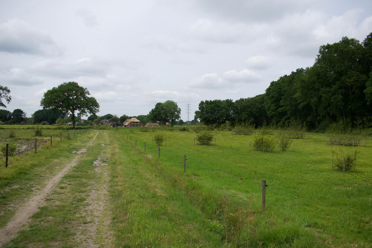
These collages contain partially AI-generated content
Phase 0 start: applied nucleation
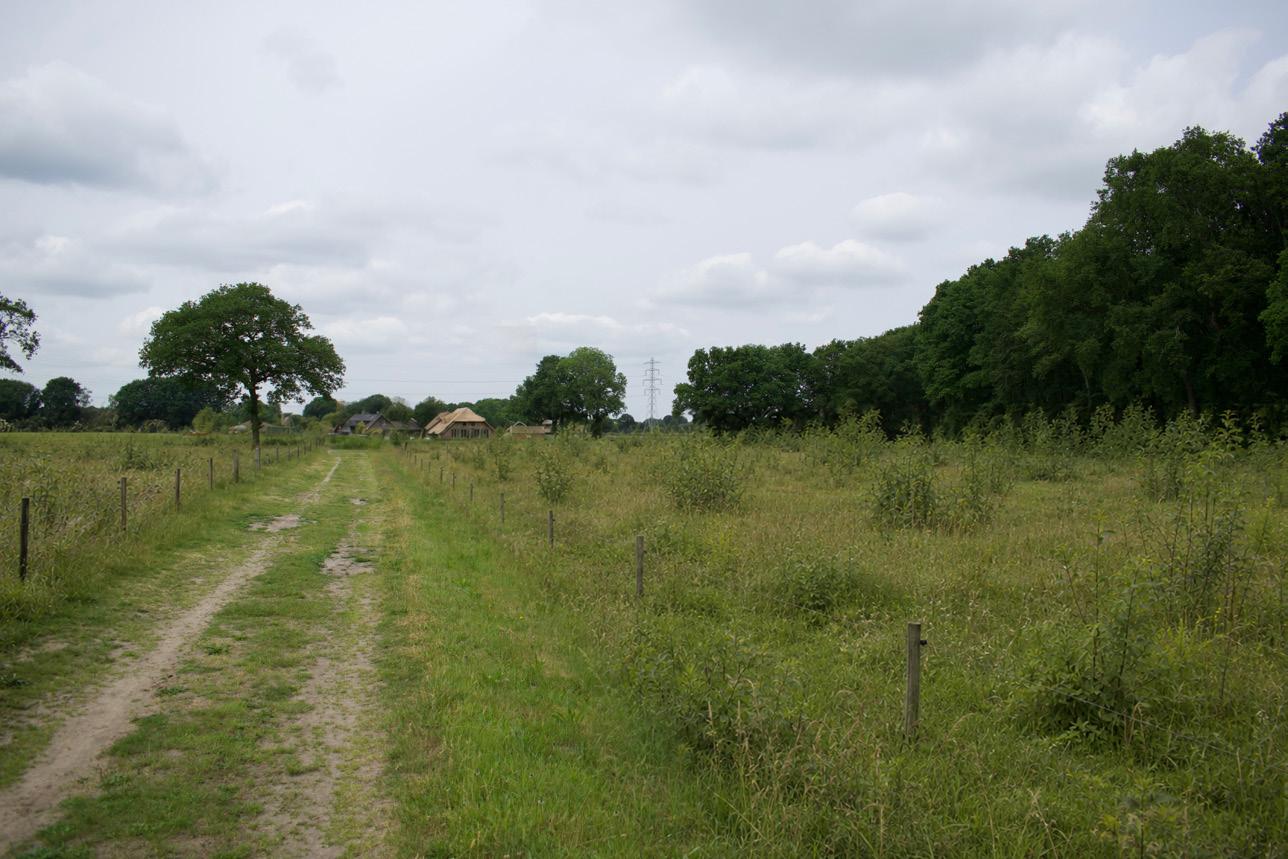
This is the starting condition for a future Birch–Oak woodland within an enclosed sandy field landscape. Small applied-nucleation islands are introduced along existing woodland edges and field margins, while the field itself remains largely open. The planting is deliberately sparse, allowing natural succession to remain visible and preventing the agricultural landscape from being converted into a plantation.
Phase 1: 0–5 Years
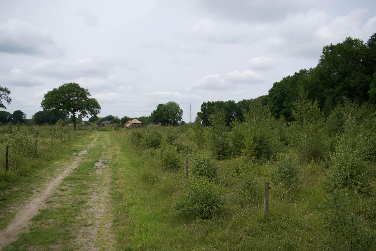
During the first years, the former pasture develops into a productive matrix of grasses and tall herbs. The planted nuclei remain small, while bramble, thistles, and nutrient-demanding herbs begin to define the edges. Woodland is not yet spatially dominant; the landscape remains open, with only the first signs of woody recruitment.
Phase 2: 5–20 Years
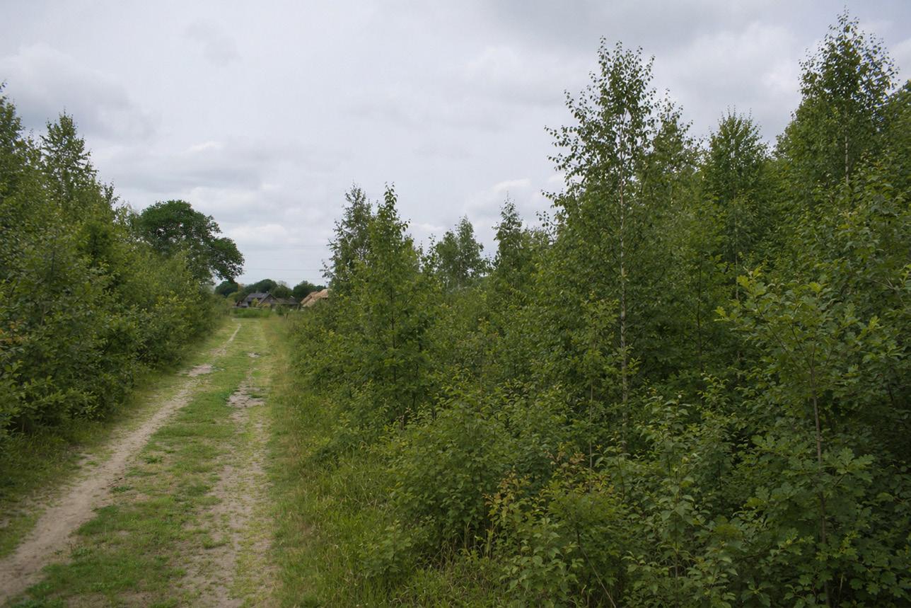
Between five and twenty years, the field develops into a patchy mosaic of scrub and young woodland. Birch establishes rapidly, while oak develops more slowly within and around the nuclei. Thorny and berry-bearing shrubs begin to close the margins, strengthening the enclosed field-room structure.
Quercus robur, Betula pendula, Sorbus aucuparia, Frangula alnus, Corylus avellana, Crataegus monogyna, Prunus spinosa, Viburnum opulus, locally Ilex aquifolium
Elymus repens, Holcus lanatus, Urtica dioica, Rumex obtusifolius, Jacobaea vulgaris, Rubus fruticosus agg., Betula pendula, Quercus robur, Sorbus aucuparia
Betula pendula, Quercus robur, Sorbus aucuparia, Frangula alnus, Corylus avellana, Crataegus monogyna, Prunus spinosa Rubus fruticosus agg.
Verwouding of the kampen landscape
These collages contain partially
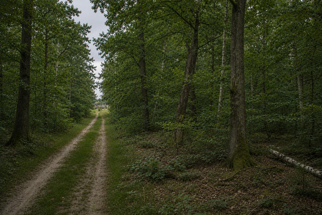
Phase 3: 20–40 Years
After twenty to forty years, the young woodland has become partially closed. The former open field remains legible through paths, edge lines, and light gaps, but the spatial experience has shifted from pasture to young Oak–Birch woodland. The understorey remains irregular and locally dense, reflecting the nutrient-rich agricultural starting condition.
Phase 4: 40–70 Years
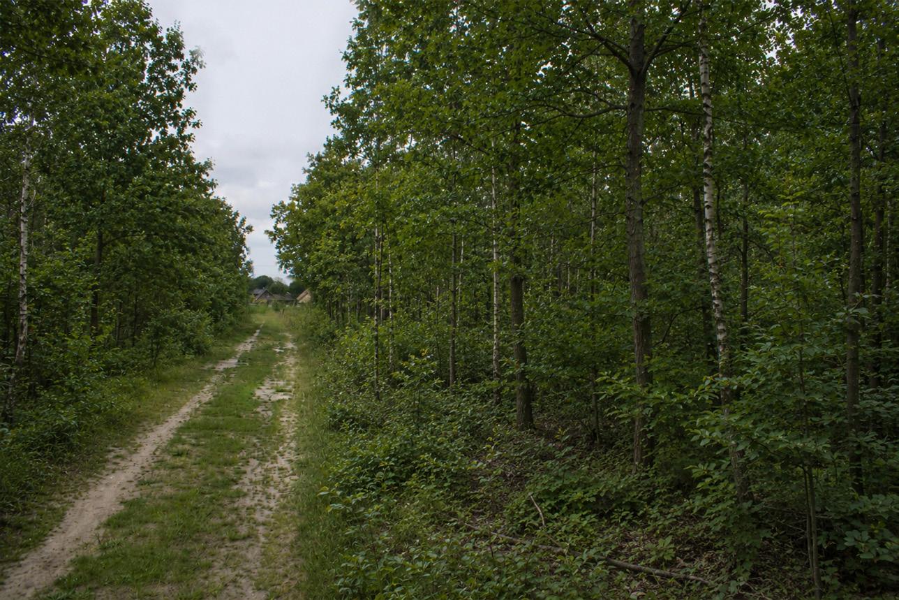
Between forty and seventy years, the woodland enters a more structural phase. Some birches begin to senesce, oak gains canopy space, and increasing shade suppresses the most aggressive grassland vegetation. Dense mantle vegetation persists along the edges, while the interior becomes more walkable and distinctly forest-like.
Phase
5: 70–100 Years
Around one hundred years, the landscape has developed into a secondary Birch–Oak woodland, not yet an ancient forest. It is structured by layered edges, residual field boundaries, an increasingly oak-dominated canopy, and remaining birch. The former enclosed field pattern is still present as spatial memory, while the site now functions as a young woodland system.
Quercus robur, Betula pendula, Sorbus aucuparia, Corylus avellana, Frangula alnus, Rubus fruticosus agg., Dryopteris dilatata
Quercus robur, Betula pendula, Corylus avellana, Sorbus aucuparia, Frangula alnus, locally Ilex aquifolium, Rubus fruticosus agg.
Quercus robur, Betula pendula, Corylus avellana, Sorbus aucuparia, Frangula alnus, Rubus fruticosus agg., locally Ilex aquifolium
Verwouding of the heideontginning landscape
Existing conditions
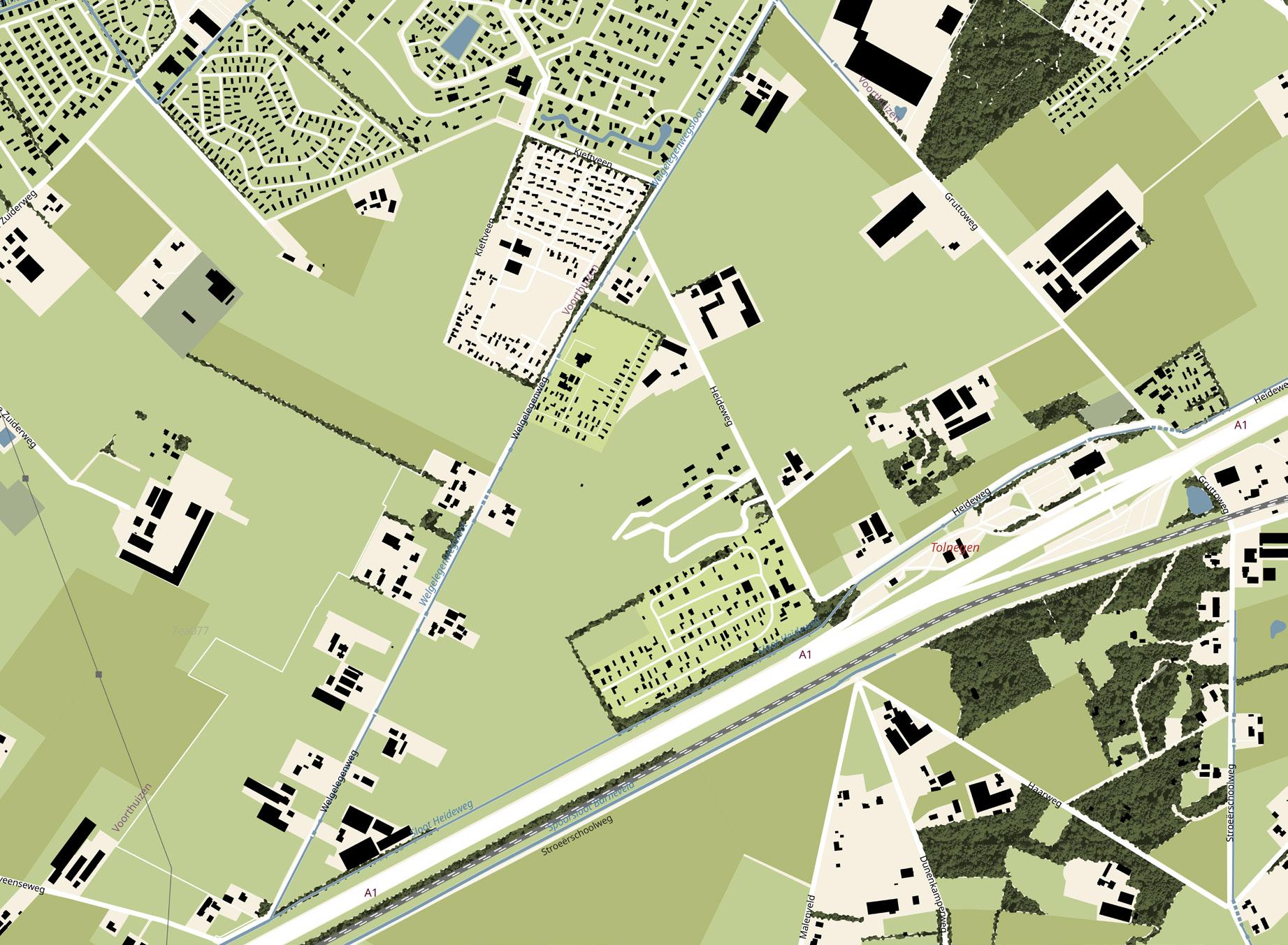
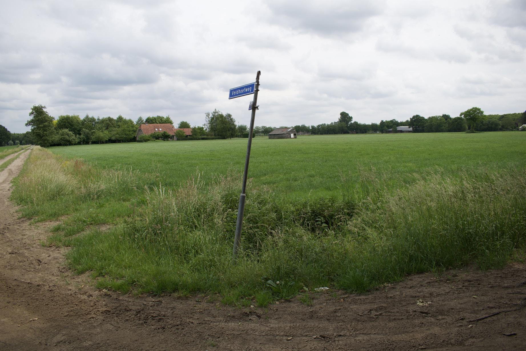
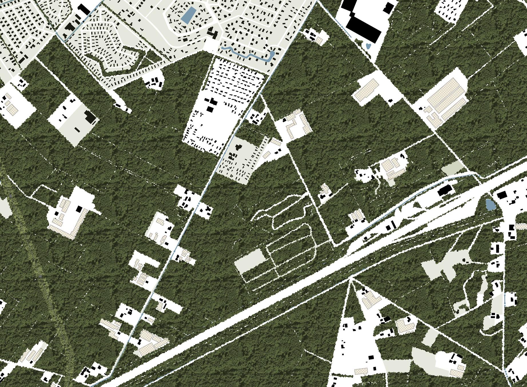
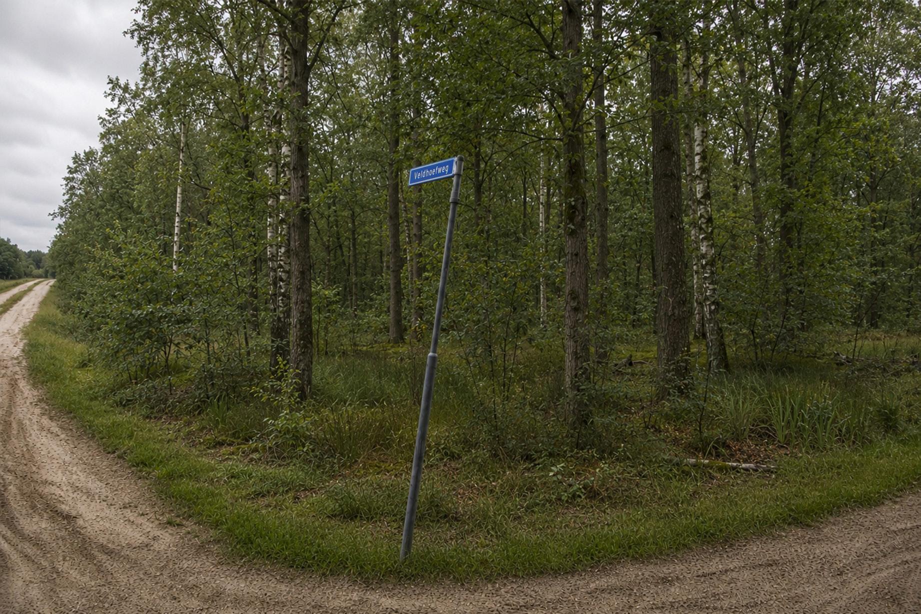
Verwouding of the heideontginning landscape
Phase 0 start
Ending intensive livestock farming, demolishing the associated infrastructure and developing housing on the released plots
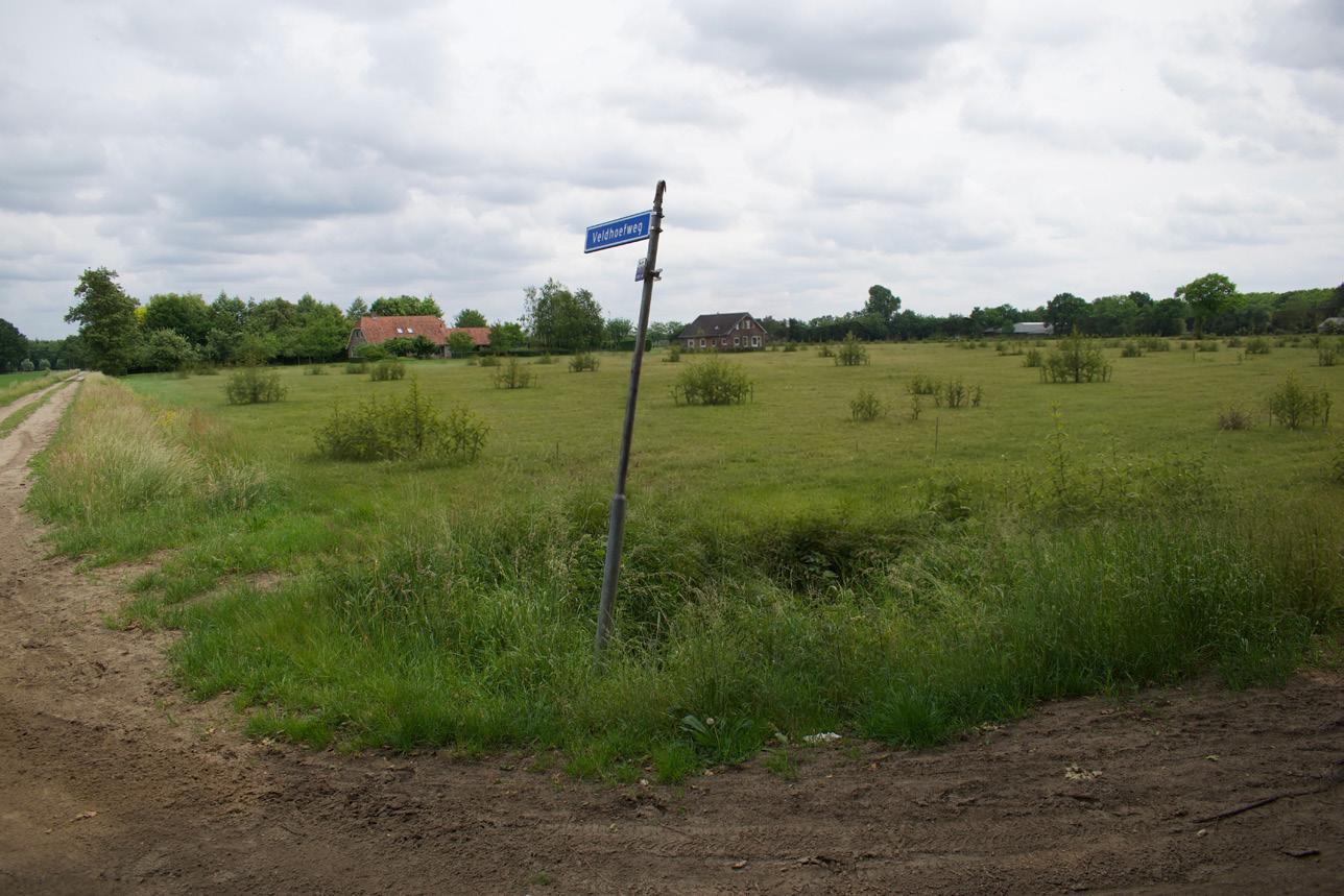
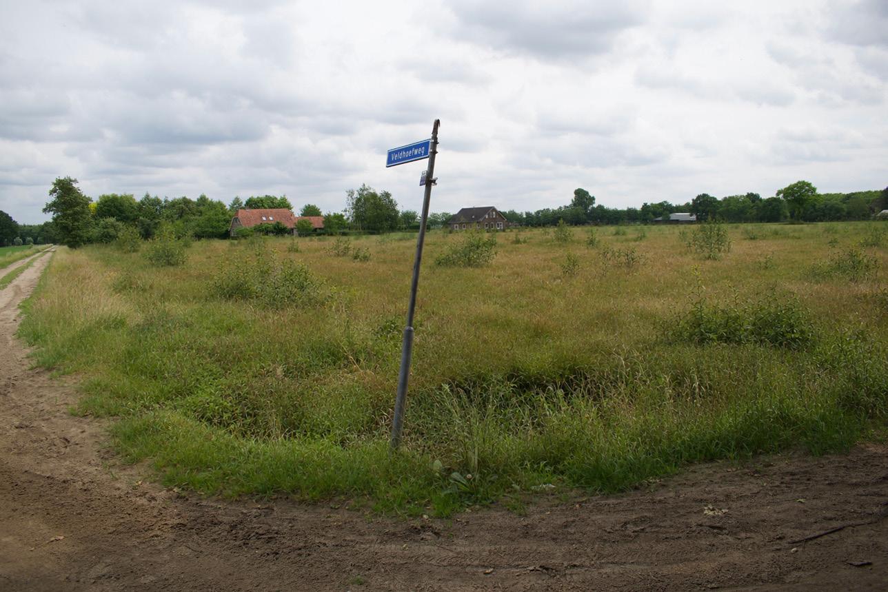
These collages contain partially
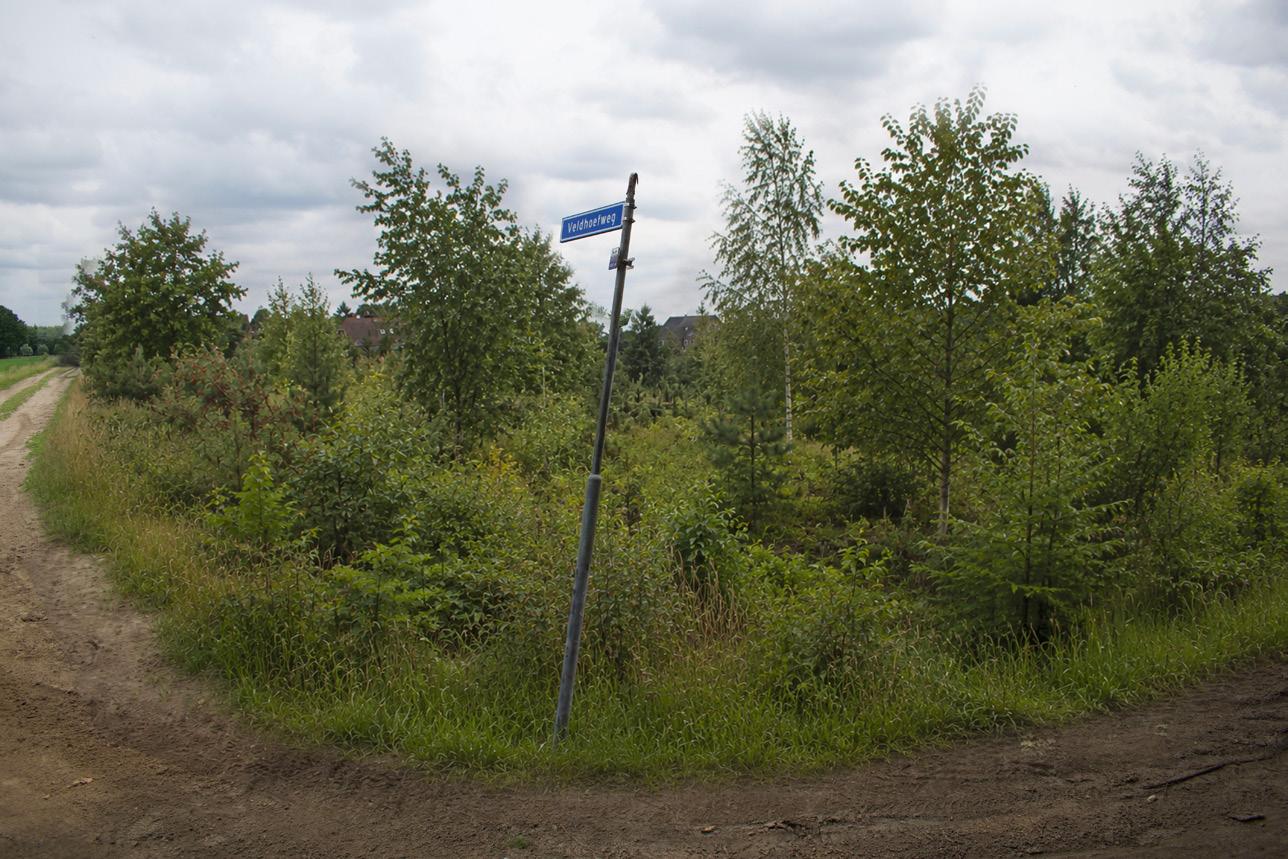
Phase 0 start: applied nucleation
The starting condition is a low-density nucleation field within a rectilinear heath-reclamation landscape. Small tree and shrub islands are introduced along ditches and parcel edges, while most of the field remains open. The future woodland direction is a Birch–Oak to Alder–Oak transition, rather than a dense plantation.
Phase 1: 0–5
Years
During the first years, the field remains largely open. Nutrient-rich grasses and ruderal herbs dominate, while wetter corners become rougher and less accessible. The nuclei are still young and small, but begin to structure the otherwise open reclamation geometry.
Phase 2: 5–20
Years
Young pioneer islands begin to punctuate the rectilinear field pattern. Birch and alder form the first vertical elements, while oak develops more slowly within and around the nuclei. The landscape remains open between the islands, keeping the staggered nucleation strategy clearly visible.
Quercus robur, Betula pubescens, Betula pendula, Alnus glutinosa, Populus tremula, Sorbus aucuparia, Frangula alnus, Prunus padus, Crataegus monogyna
Holcus lanatus, Elymus repens, Juncus effusus, Phalaris arundinacea, Rumex obtusifolius, Urtica dioica, Rubus fruticosus agg., Betula pubescens
Betula pubescens, Betula pendula, Alnus glutinosa, Populus tremula, Quercus robur, Sorbus aucuparia, Frangula alnus, Crataegus monogyna
Verwouding of the heideontginning landscape
Phase 3: 20–40 Years
Between twenty and forty years, the field develops into a young, moist transition woodland. Drier micro-elevations support oak and birch, while ditches and lower strips favour alder and bird cherry. The woodland becomes spatially richer, yet the straight reclamation pattern remains legible.
Phase 4: 40–70 Years
Between forty and seventy years, the woodland differentiates more clearly along the moisture gradient. Earlier pioneer species remain visible, while oak, alder, and bird cherry increasingly define the structure. Former drainage and parcel lines develop into wooded corridors within the young forest.
Phase 5: 70–100 Years
After seventy to one hundred years, the site has developed into a young but coherent Birch–Oak to Alder–Oak woodland. Higher sandy strips are dominated by oak and birch, while lower ditch lines are richer in alder. The rectilinear reclamation pattern persists as spatial memory within the woodland.
Quercus robur, Betula pubescens, Betula pendula, Alnus glutinosa, Prunus padus, Frangula alnus, Sorbus aucuparia, Urtica dioica, Phalaris arundinacea
Quercus robur, Betula pubescens, Alnus glutinosa, Prunus padus, locally Corylus avellana, Frangula alnus, Sorbus aucuparia
Quercus robur, Betula pubescens, Betula pendula, Alnus glutinosa, Prunus padus, Sorbus aucuparia, Frangula alnus, Rubus fruticosus agg.
Verwouding of the broekontginning landscape
Existing conditions
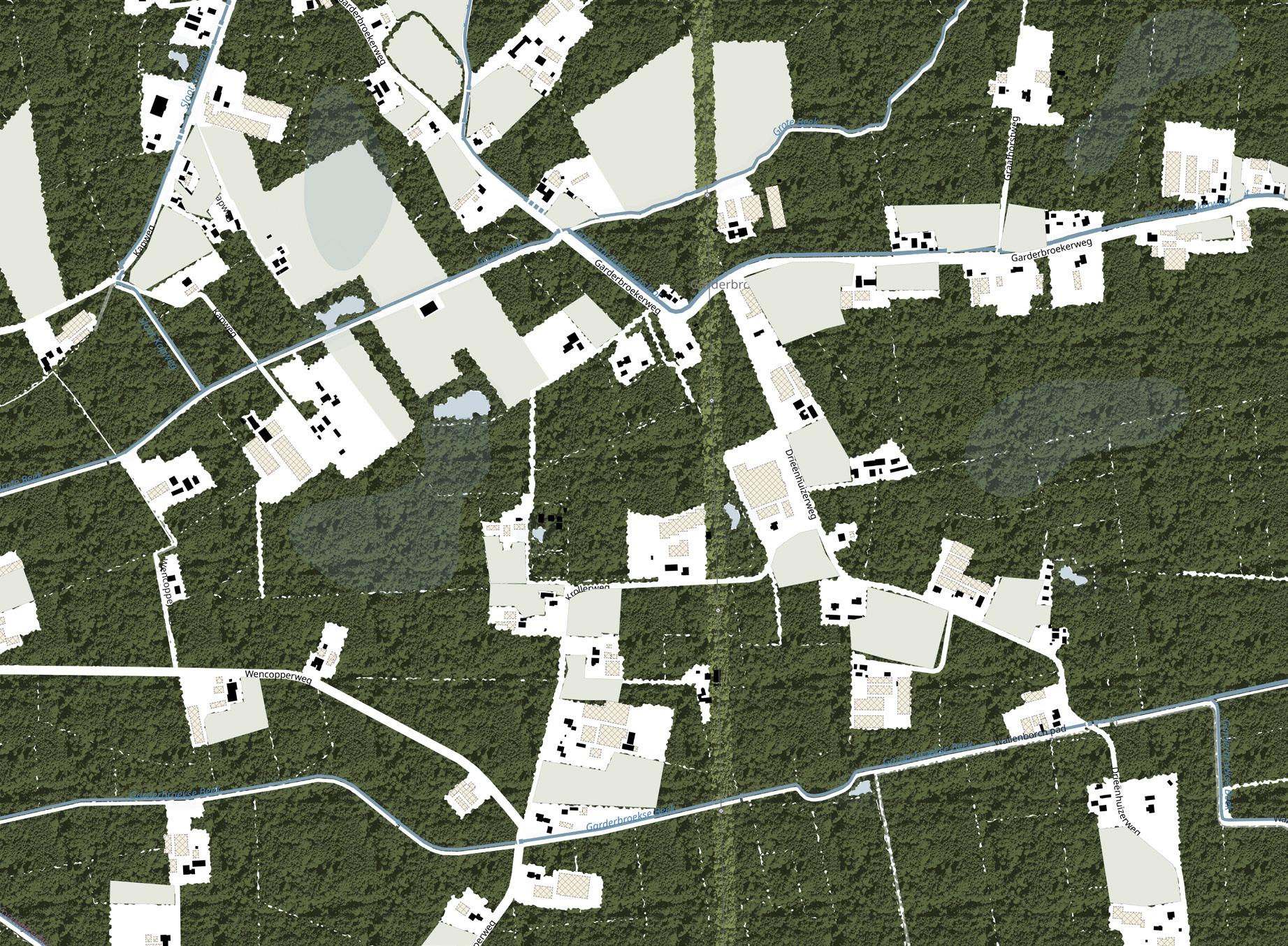
Verwouding of the broekontginning landscape
Phase 0 start
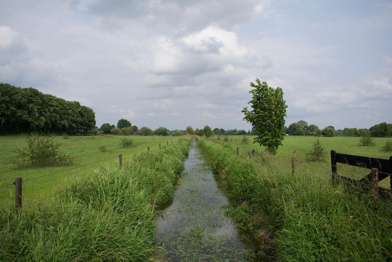
Ending intensive livestock farming, demolishing the associated infrastructure and developing housing on the released plots
These collages contain partially AI-generated content
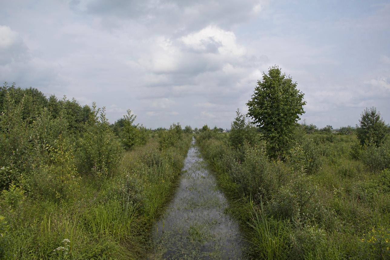
Phase 0 start: applied nucleation
The starting condition is a low, wet reclamation landscape. Applied nucleation is introduced along the drainage ditch, field edges, and slightly raised microsites, while the ditch remains open and legible. The field is still predominantly grassland, but the nuclei establish the first direction towards Tall-herb Alder woodland and, in wetter zones, Alder carr.
Phase 1: 0–5 Years
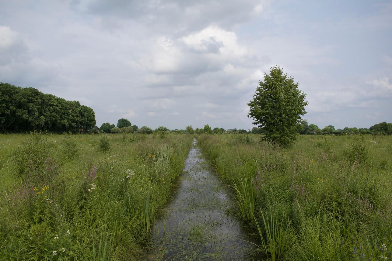
During the first years, wet tall-herb vegetation dominates. The ditch remains open, but its banks become rough, high, and difficult to cross. Young alder and willow begin to establish along the wet margins, while the central field remains largely open.
Phase 2: 5–20 Years
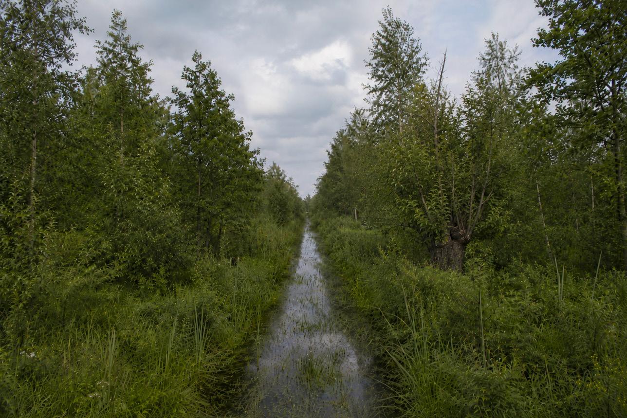
Between five and twenty years, alder and willow scrub begins to define the wet edges. The drainage ditch develops into a linear woodland axis, while open water remains visible. The field is not yet closed forest, but a wet mosaic of rough vegetation, young alder, willow, and scattered birch.
Alnus glutinosa, Salix cinerea, Betula pubescens, Prunus padus, Viburnum opulus, Frangula alnus, Crataegus monogyna, Rosa canina, Salix alba
Juncus effusus, Phalaris arundinacea, Glyceria maxima, Urtica dioica, Epilobium hirsutum, Rumex obtusifolius, locally Phragmites australis, Alnus glutinosa, Salix cinerea
Alnus glutinosa, Salix cinerea, Salix alba, Betula pubescens, Prunus padus, Viburnum opulus, Sambucus nigra, Urtica dioica, Phalaris arundinacea
Verwouding of the broekontginning landscape
Phase 3: 20–40 Years
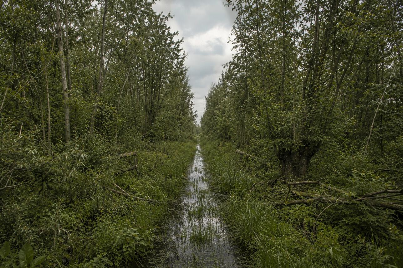
Between twenty and forty years, young Tall-herb Alder woodland develops along the ditch and within the wetter field zones. The ground remains wet, rough, and difficult to access. The drainage ditch is increasingly shaded but still open, functioning both as a water line and as the main spatial memory of the former reclamation landscape.
Phase 4: 40–70 Years
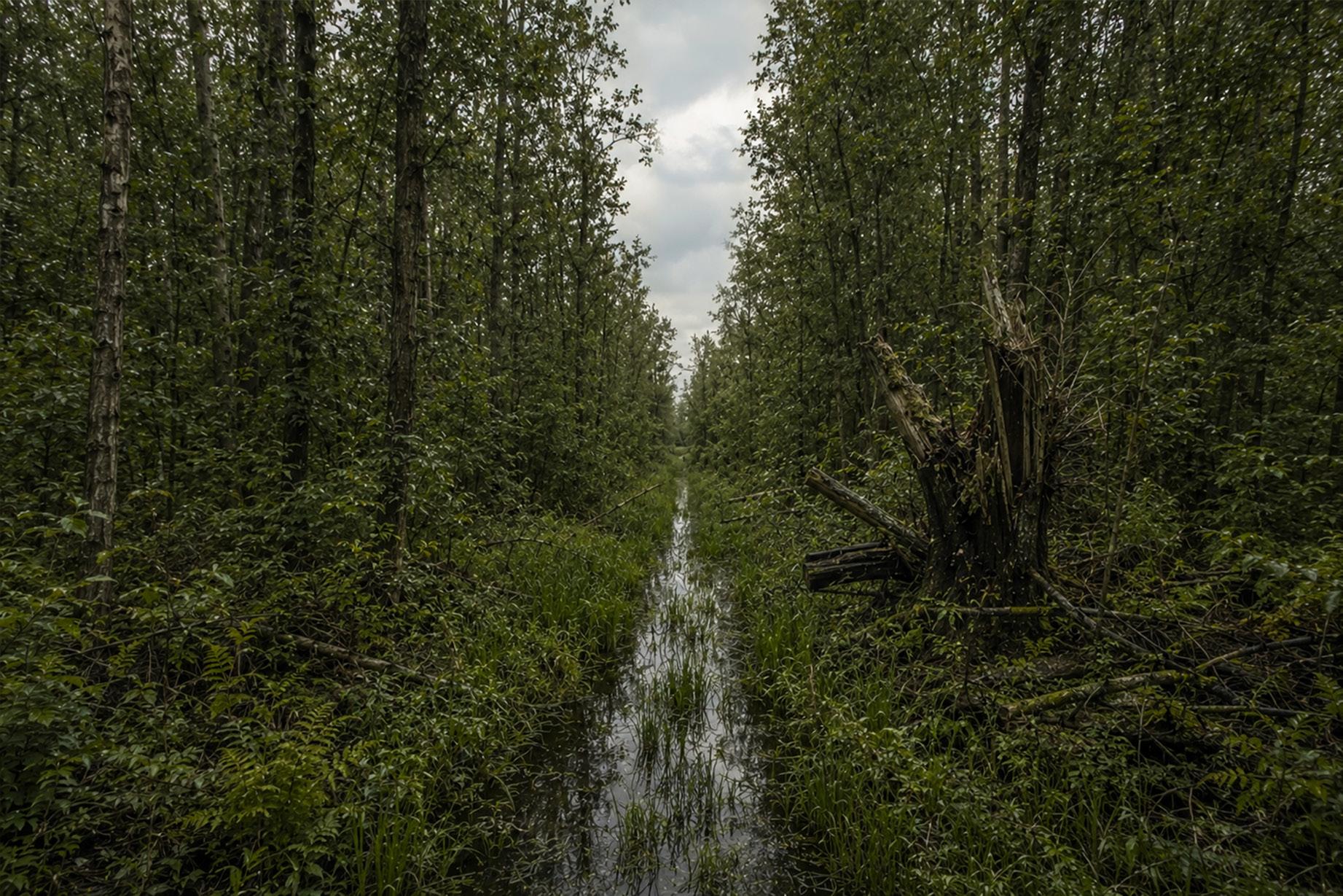
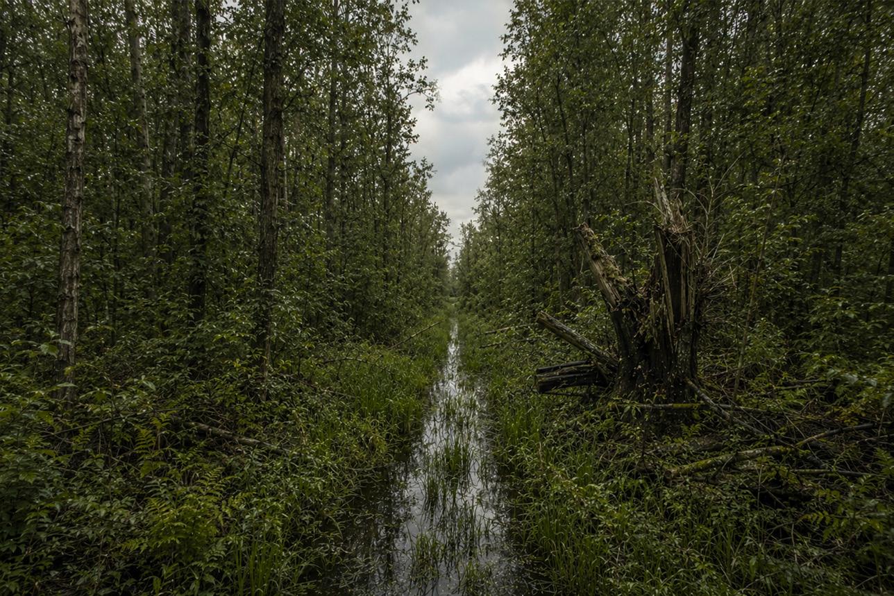
Between forty and seventy years, the woodland begins to show a clear carr structure, with alder stems, root mounds, dead wood, wet hollows, and shaded water. Willow declines in places, while alder becomes structurally dominant. The ditch is not erased; it transforms into a dark linear corridor within the wet woodland.
Phase 5: 70–100 Years
Around one hundred years, the site has developed into a wet mosaic of Alder carr and Tall-herb Alder woodland. It is not a dry, closed forest, but a rough, wet, and partly inaccessible system of alder, willow remnants, shaded ditch water, and tall-herb openings shaped by the former drainage pattern.
Alnus glutinosa, Salix cinerea, Betula pubescens, Prunus padus, Viburnum opulus, Sambucus nigra, Juncus effusus, Phalaris arundinacea, Urtica dioica
Alnus glutinosa, locally Betula pubescens, Salix cinerea, Prunus padus on higher margins, Viburnum opulus, Frangula alnus, Phalaris arundinacea
Alnus glutinosa, Salix cinerea, Betula pubescens, Prunus padus, Viburnum opulus, Frangula alnus, Urtica dioica, Phalaris arundinacea
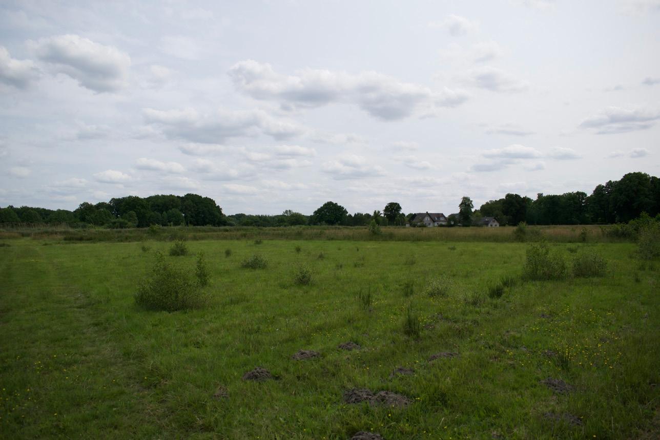
Existing conditions
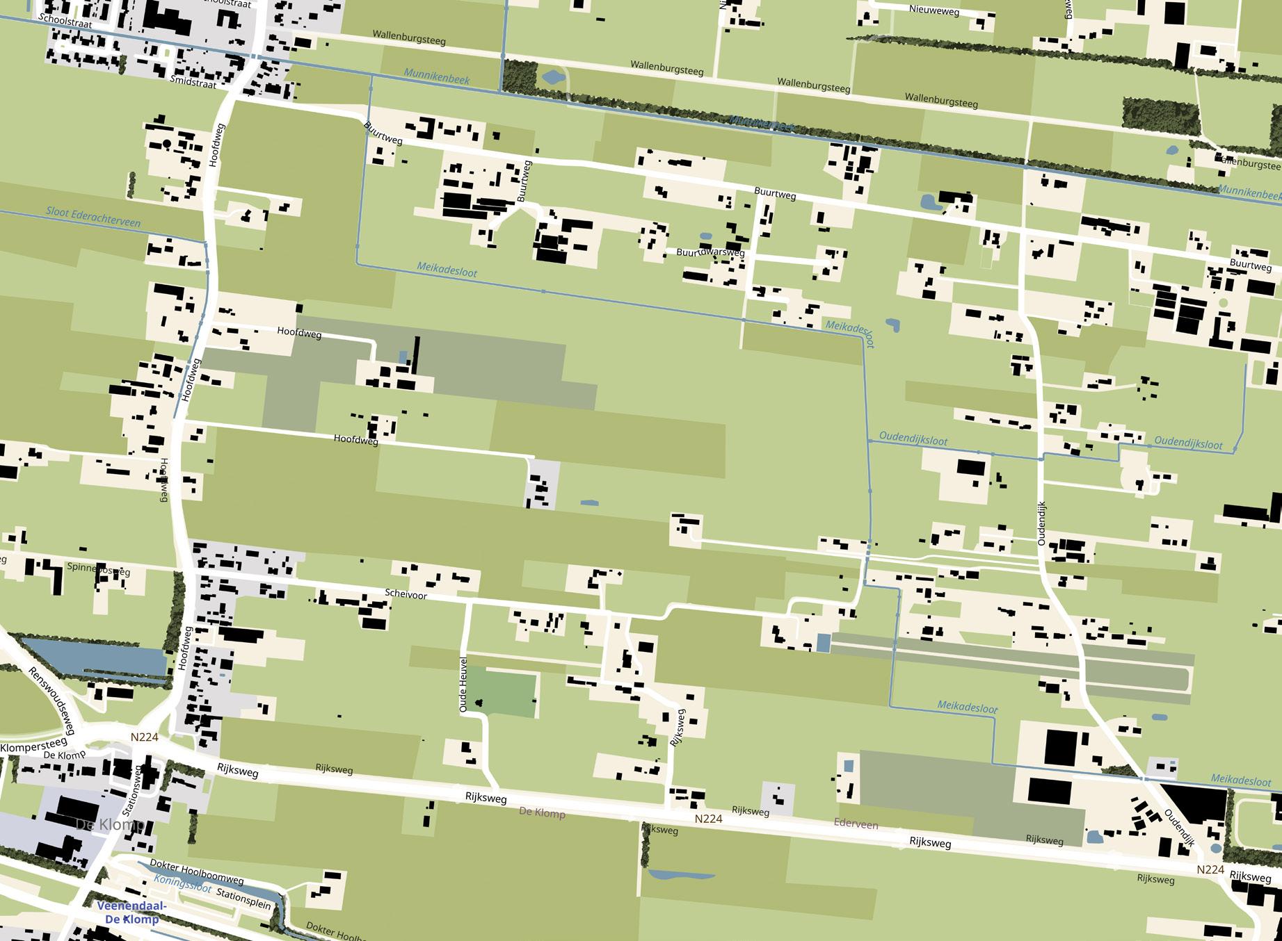
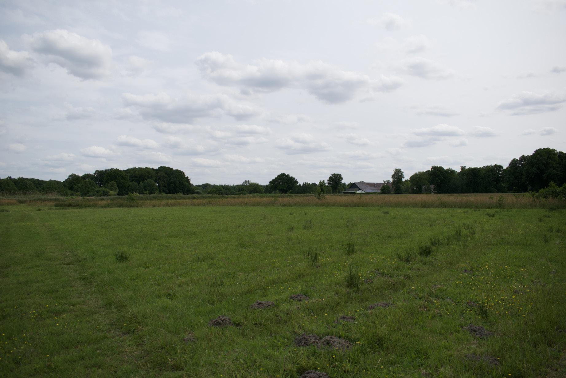
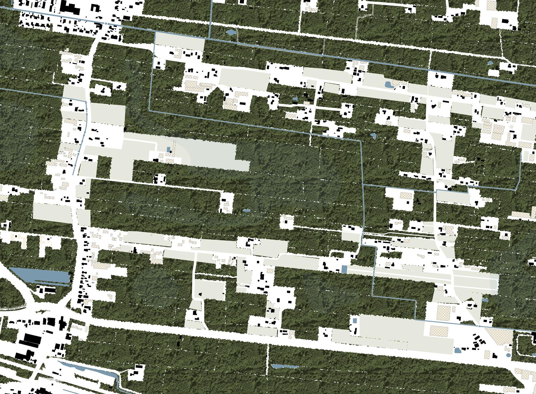
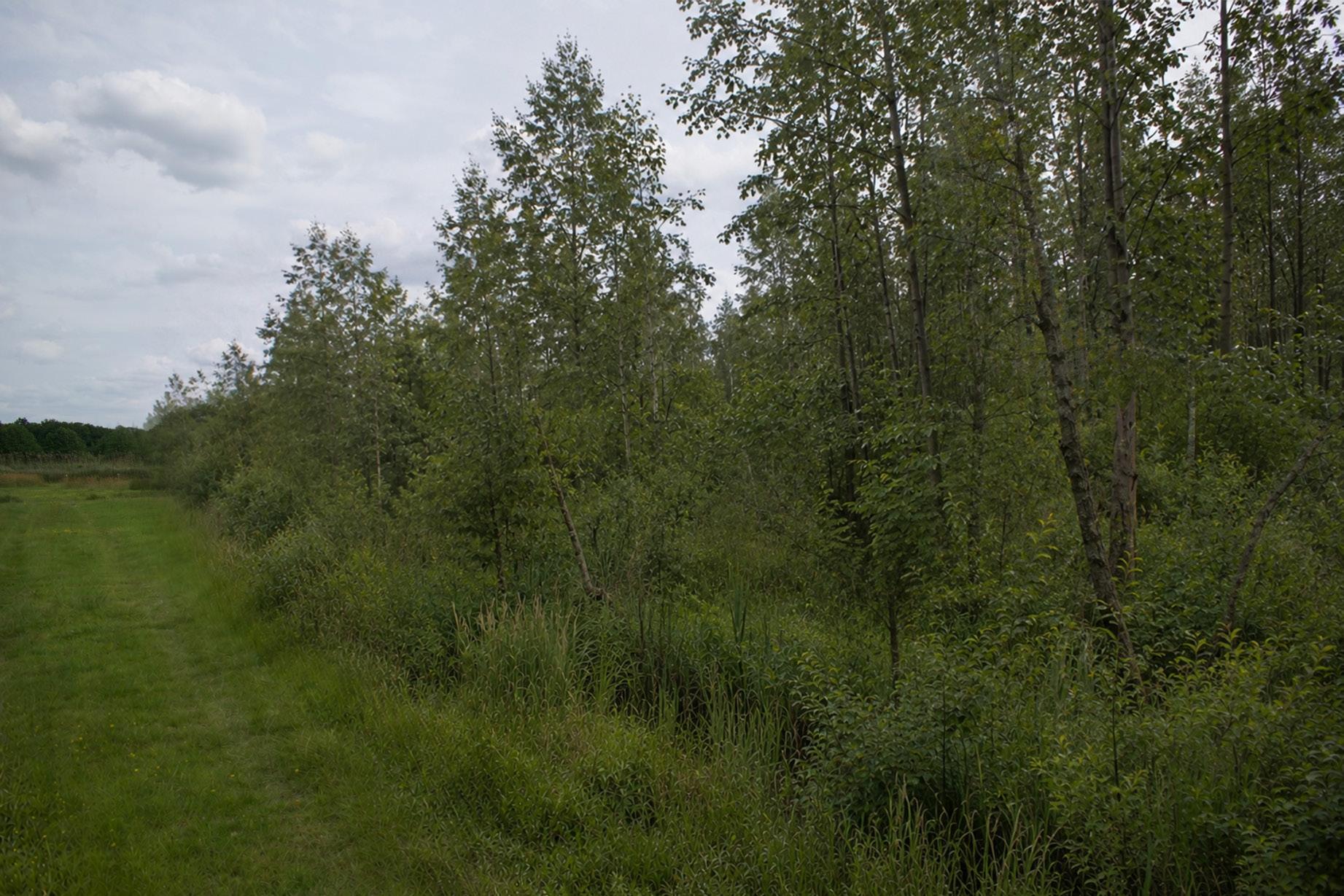
Verwouding of the veenontginning landscape
Phase 0 start
Ending intensive livestock farming, demolishing the associated infrastructure and developing housing on the released plots
These collages contain partially
Phase 0 start: applied nucleation
The starting condition is a sparse nucleation landscape within a peaty reclamation field. Planting follows ditches, parcel boundaries, and existing alder or pollard lines, while the wet parcel interiors remain open. The future woodland direction is a peaty form of Tall-herb Alder woodland, shifting towards Alder carr in the wettest zones.
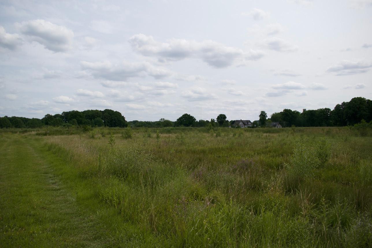
Phase 1: 0–5 Years
During the first years, wet, peaty tall-herb vegetation dominates. The field remains open, but the wettest areas become rougher and less accessible. Woody recruitment begins mainly along ditches and parcel edges, rather than as a uniform cover across the field.
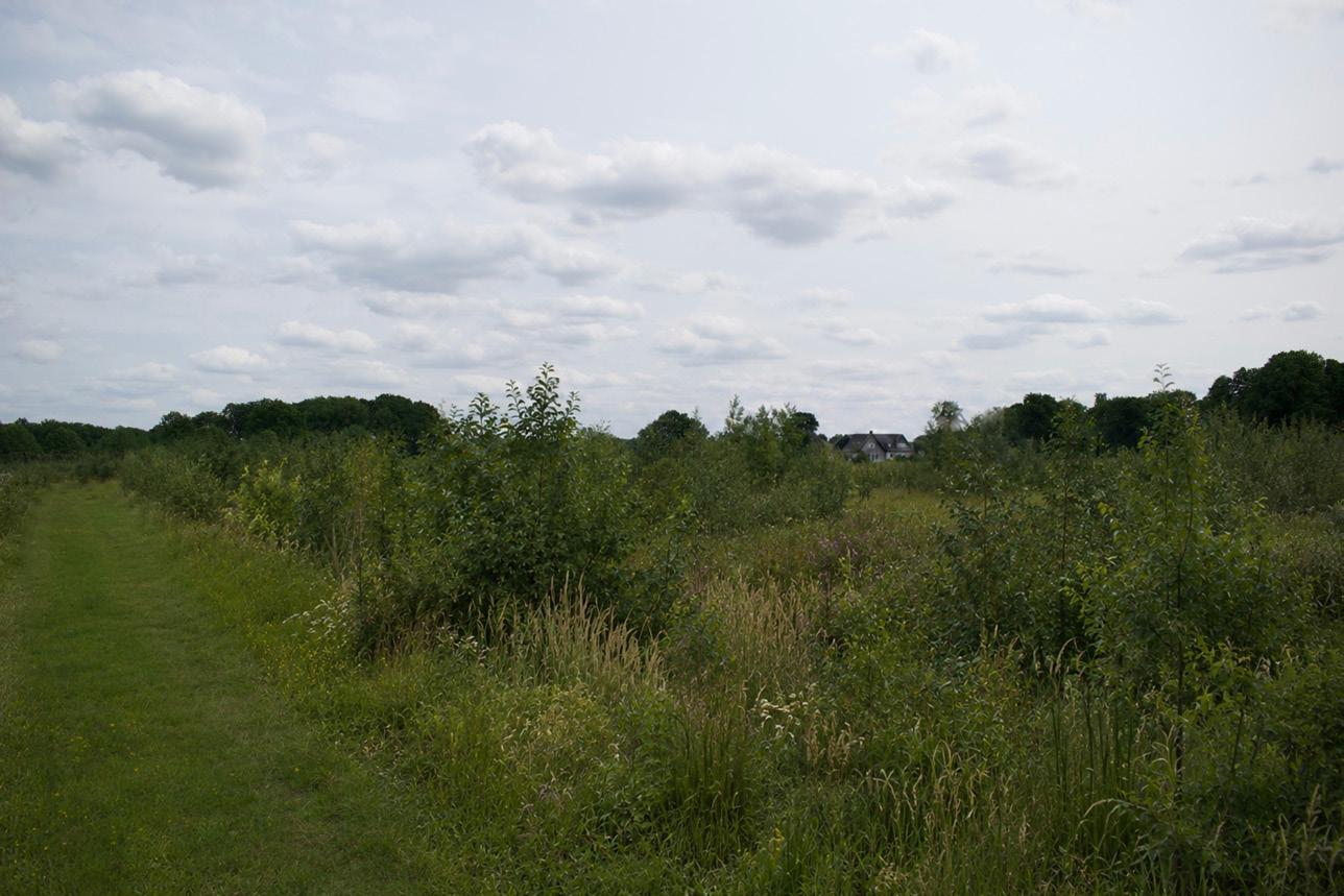
Phase 2: 5–20 Years
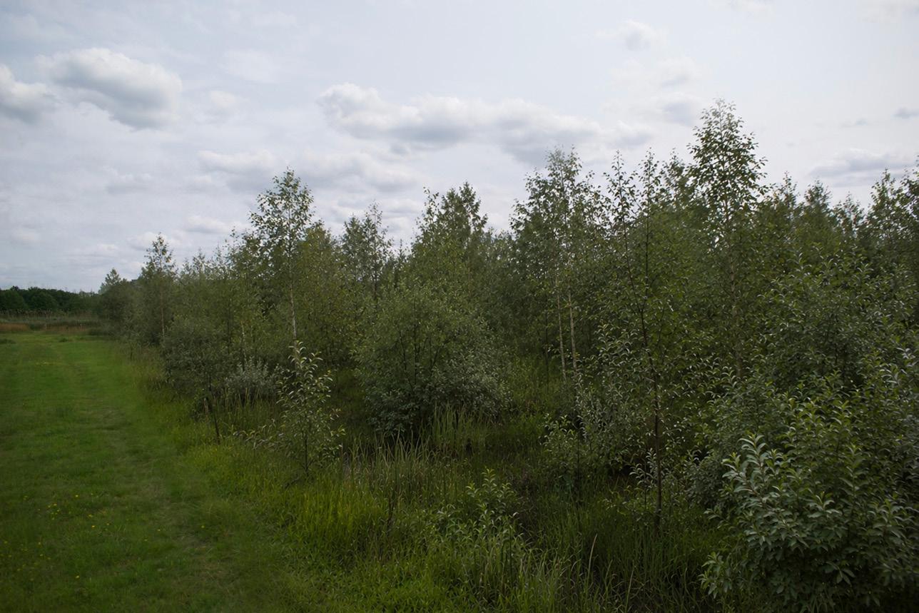
Between five and twenty years, willow, alder, and birch form dense linear scrub along ditches and parcel boundaries. The elongated reclamation structure becomes more visible rather than less, as early woodland develops in bands and edges instead of forming an even forest cover.
Alnus glutinosa, Betula pubescens, Salix cinerea, Salix aurita, Frangula alnus, Viburnum opulus, Prunus padus on higher margins, Sorbus aucuparia on sandy edges
Juncus effusus, Phalaris arundinacea, Glyceria maxima, Urtica dioica, Epilobium hirsutum, Phragmites australis, Alnus glutinosa, Salix cinerea, Betula pubescens
Alnus glutinosa, Salix cinerea, Salix aurita, Betula pubescens, Frangula alnus, Viburnum opulus, Prunus padus on higher edges
Verwouding of the veenontginning landscape
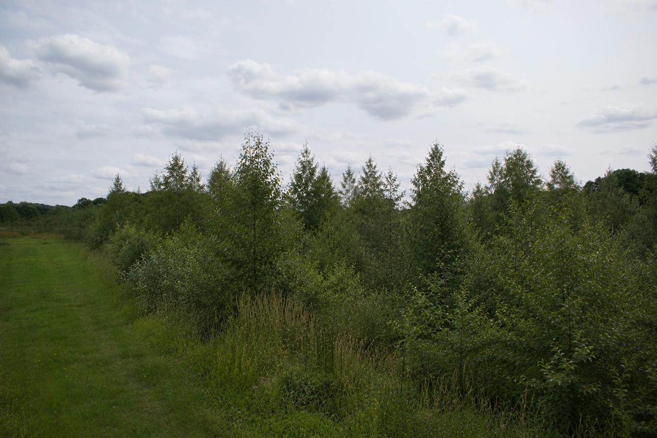
Phase 3: 20–40 Years
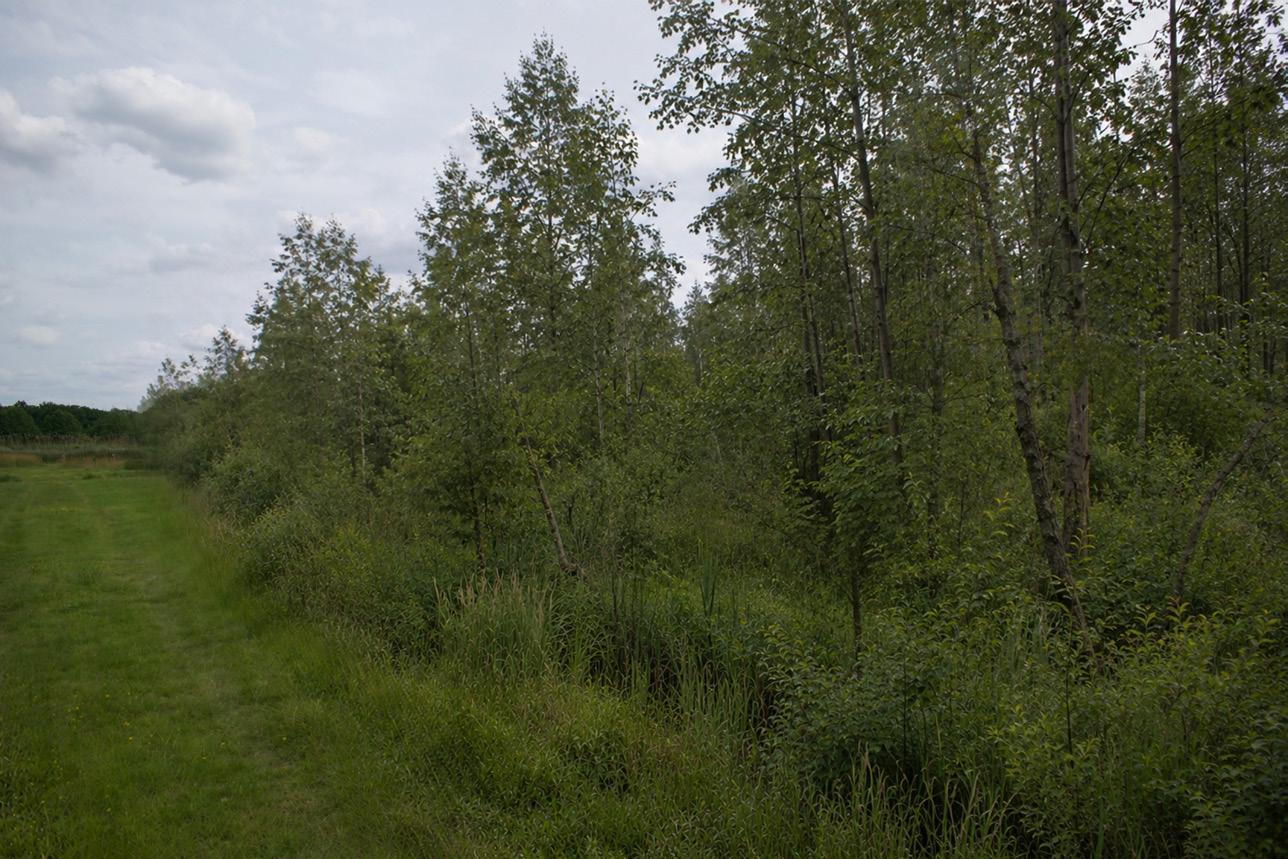
Between twenty and forty years, the landscape enters a young peaty Alder–Birch woodland phase. Some areas are already closing, while wet openings remain within the parcel interiors. The ground is moist, rough, and often difficult to cross, with the former drainage pattern still organising the spatial structure.
Phase 4: 40–70 Years
Between forty and seventy years, the woodland reads as carr woodland with a visible peatreclamation structure. Alder and birch dominate, while willows break, resprout, and persist in wetter zones. Dead wood and wet hollows increase, and the linear parcel direction and former ditch lines remain central to the spatial experience.
Phase 5: 70–100 Years
Around one hundred years, the site has developed into a wet, semi-enclosed carr woodland. Richer zones shift towards Tall-herb Alder woodland, while more acidic peaty areas remain birch–alder and willow-rich. The woodland stays linear, moist, and structurally tied to the former peatreclamation pattern.
Alnus glutinosa, Betula pubescens, Salix cinerea, Salix aurita, Frangula alnus, Viburnum opulus, Prunus padus, Juncus effusus, Phalaris arundinacea
Alnus glutinosa, Betula pubescens, Salix cinerea, Salix aurita, Frangula alnus, Viburnum opulus, locally Prunus padus
Alnus glutinosa, Betula pubescens, Salix cinerea, Salix aurita, Frangula alnus, Viburnum opulus, Prunus padus on margins, Phalaris arundinacea in openings
Additional spatial influences on succession
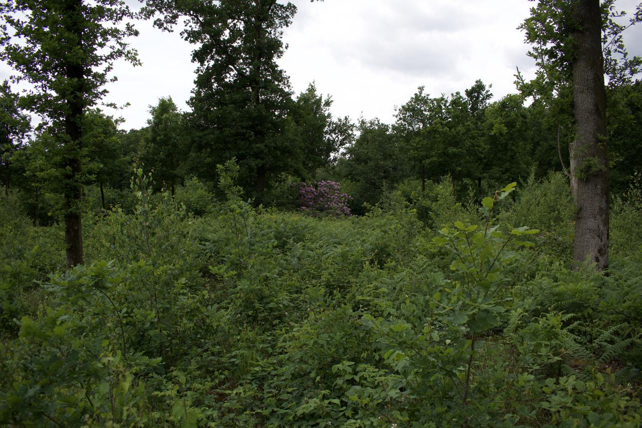
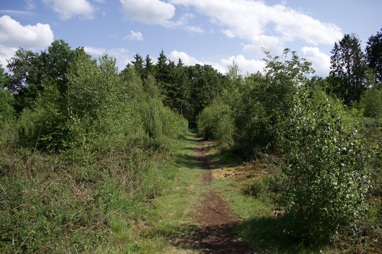
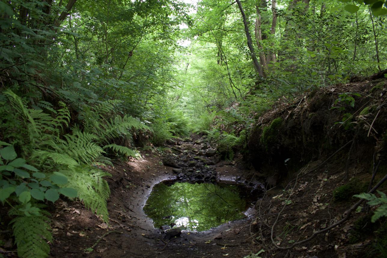
Estate Edges
The spread of planted estate species will probably remain local, but estate edges can still become meaningful transitional zones within the process of verwouden. This is especially relevant in the Gelderse Vallei, where historic estates form part of the cultural landscape. Their ornamental and woodland plantings contrast with the more functional vegetation of the agrarian landscape, such as hedgerows, lanes, field edges, farmyard trees, and shelter planting. Along these estate edges, species such as rhododendron may slowly mingle with the emerging woud. Within the project, these margins are therefore not treated as fixed boundaries, but as places where cultural planting, historical identity, and spontaneous succession begin to overlap. They show that the new woud does not emerge outside the existing landscape, but through exchange with the spatial and cultural layers already present.
Hoogspannign traces
Besides agrarian and reclamation patterns, the Gelderse Vallei also contains other infrastructural layers that shape how verwouden can unfold. One of these is the high-voltage trace. Although such infrastructure may not remain in place over an 800-year horizon, it is treated in this project as a persistent condition for the coming decades. The trace cannot develop into closed woud: within the belemmerde strook below and around overhead power lines, tall trees are restricted to prevent interference with the conductors and maintain safety. Rather than treating this only as a limitation, the project uses it as a spatial structure: a broad corridor of low, cyclically managed vegetation through the woud. Here, the projected bos community is translated into hakhoutbeheer. The species remain related to the surrounding woud, but are repeatedly cut back before reaching the tree phase. In this way, the high-voltage trace becomes a managed opening within the process of verwouden. Its long, continuous line can also guide paths through the landscape, where maintenance, movement, and low woodland succession overlap.
Landscape and Reclamation Relics
A central premise of the project is that verwouden is not introduced as a replacement of the existing landscape, but as a new layer that grows from it. With the exception of the adjusted water system, which forms a given condition for the design, the existing landscape is taken as the starting point. Current debates around the Dutch forest strategy show how difficult it can be to create new bos in a country where landscape visions, heritage values, ecological rules, and existing land-use claims often determine where trees are considered appropriate or inappropriate (Didde, 2026). These restrictions may be ecologically or spatially justified, but they are never purely neutral facts; they also reflect cultural ideas about which landscapes should remain open, visible, or historically legible. As argued in the accompanying paper Charisma of a Godwit (see Appendix), such preferences are shaped by cultural narratives as much as by ecological reasoning. This project therefore treats verwouden not as the erasure of landscape history, but as an additional condition in which relics of the cultivated landscape remain present: as traces, boundaries, and structures that continue to shape succession over time.
Conclusion: Verwouding: The long becoming of the woud
Predicted forest communities after 100 years of succession
At the scale of the Gelderse Vallei, the four landscape types do not result in four entirely separate woodland directions. The kampen landscape and the heideontginning landscape are both located predominantly on the higher, drier to moist sandy grounds of the valley. Their longer-term direction is therefore broadly towards Birch–Oak woodland, with Alder–Oak transitions in wetter margins, ditch lines, and local depressions. The broekontginning landscape and the veenontginning landscape are located in the lower and wetter parts of the valley. Here, higher groundwater levels, seepage, and persistent wet conditions guide succession towards Tall-herb Alder woodland, Alder carr, willow scrub, and other wet woodland conditions.
This confirms that hydrology is more decisive than differences between sandy soil types at the scale of the Gelderse Vallei. Relief, groundwater, seepage, drainage, and the relation between the higher sandy grounds and lower wet depressions determine the general direction of verwouding. The landscape types nevertheless remain important at the scale of succession itself. They do not produce entirely different woodland communities, but they influence the speed, density, roughness, and spatial form through which these communities emerge.
The kampen landscape develops from a relatively enclosed and locally nutrient-rich agricultural condition. Higher enkeerdgronden and dekpodzolgronden, together with the presence of field margins, hedgerows, woodlots, and existing woodland edges, create favourable conditions for woody recruitment. Succession can therefore become denser and more layered at an earlier stage, with bramble, tall herbs, shrubs, and young woodland gradually strengthening the enclosed spatial structure of the former field landscape.
The heideontginning landscape shares a broadly similar woodland direction, but begins from a more open and rectilinear reclamation structure. Its historically poorer and more acidic sandy basis remains visible in the landscape, even where later agricultural use has enriched the present field condition. Succession therefore remains more open and staggered in the early phases, with the nucleation islands gradually punctuating the larger field geometry rather than immediately closing it.
The broekontginning landscape develops more rapidly into a rough wet woodland condition. Wet mineral soils, shallow groundwater, and wetter field depressions support the establishment of alder, willow, tall herbs, and wet scrub. The former drainage structure remains present as a spatial framework, gradually transforming into a wet and shaded woodland system.
The veenontginning landscape shares this wet woodland direction, but develops differently where peat, acidity, and persistent waterlogging remain dominant. The high groundwater level limits the aerated rooting zone, while peat soils can remain relatively poor in mineral nutrients. Succession is therefore likely to remain more open, irregular, and less vertically developed than in the broekontginning landscape. Rather than forming a dense and productive Alder carr everywhere, the veenontginning landscape can retain a more fragile mosaic of birch, willow, alder, wet openings, and peat-related vegetation.
The four landscape types should therefore not be understood as fixed woodland types. Hydrology determines the broad direction of verwouding, while reclamation history, soil development, existing landscape structure, and seed sources determine how this direction becomes visible through succession.
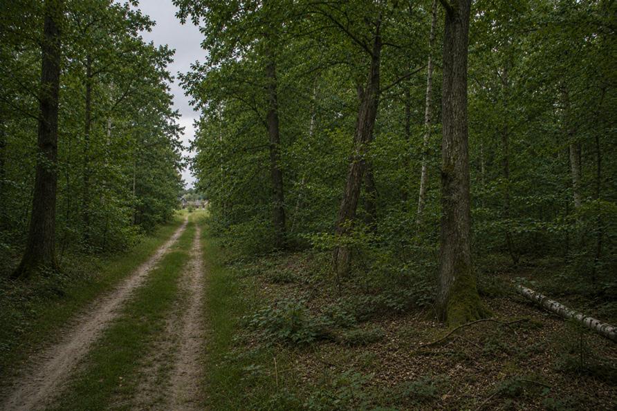
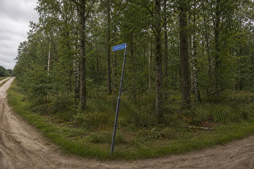
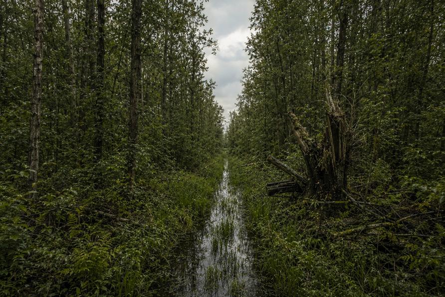
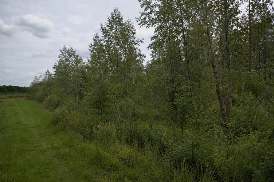
The kampen landscape after 100 years of verwouding
The heideontginning landscape after 100 years of verwouding
The broekontginning landscape after 100 years of verwouding
The veenontginning landscape after 100 years of verwouding
IV. The Nemoretum: Prefiguring the Woud
Prologue: The nemoretum
The nemoretum is introduced as an essential design instrument within the broader project of verwouding. Where the Bossenstrategie is primarily concerned with hectares, planting targets, and forest cover, the nemoretum addresses another condition: the cultural and experiential ground on which verwouding must take root. A woud cannot be produced only through ecological succession. It also requires recognition, attachment, ritual, and the gradual emergence of a new relationship between people and the developing landscape.
This is especially important because woud develops slowly. During the first decades, the landscape will not yet resemble the deep, autonomous woodland imagined in the long horizon of the project. It will be young, open, rough, fragmented, and in transition. The nemoreta therefore offer places where the future woud can already be experienced before it fully exists. They prefigure the woud: not as a miniature version of its final state, but as spatial conditions in which its meanings, atmospheres, and rituals can begin to emerge.
Archetypes as spatial memory
The nemoreta are based on woud archetypes that recur in fairy tales, sagas, landscape memory, and older naturecultural traditions. These include the spring, the forest edge, the glade, the tower, the heart of the forest, and the winter king. They are not used as decorative references, but as condensed forms of human experience with wooded landscapes: spaces of fear and refuge, encounter and withdrawal, orientation and disorientation, beauty and unease.
Their strength lies in their recognisability. Even in a country where woud has disappeared as a lived landscape, many people can still imagine these spaces clearly. They survive through stories, art, childhood memories, folk traditions, and collective landscape imagination. In that sense, the archetype becomes a bridge between a lost woud culture and a future one.
These archetypal spaces are deliberately ambivalent. A glade can be experienced as a place of calm, beauty, and gathering, but also as a site of exposure, ritual, or productive unease. A forest edge may be a boundary, a threshold, or a place of hesitation. A tower may offer orientation and overview, but also distance, isolation, or watchfulness. The nemoretum does not fix these meanings. It creates a spatial condition in which different meanings can attach themselves over time.
Ritual, attachment, and cultural grounding
The need for ritual and cultural attachment was sharpened in conversations with prof. dr. Irene Stengs, cultural anthropologist, whose work concerns ritual, popular culture, material culture, and memorial practices. A recurring point in these conversations was that new rituals are rarely successful when they are invented and imposed from above. They become stronger when they connect to existing practices, transitions, and forms of collective recognition.
This is crucial for the project. The transformation of an intensive livestock landscape into a landscape of verwouding is not only ecological or spatial; it is also cultural. In the Gelderse Vallei, where agrarian identity, landscape memory, and notions of stewardship are strongly present, such a transformation requires more than technical legitimacy. It needs places where people can develop a new bond with the emerging woud.
The nemoreta create such places. They do not prescribe a single use or ritual, but offer situations in which rituals may arise, return, or be reinterpreted. A forest edge could become the starting point for a contemporary rite of passage, recalling the familiar Dutch practice of the school-camp dropping. A glade may become a place for quiet reflection, seasonal gathering, or a midwinter concert. A mother tree may become a birth tree, a memorial tree, or a descendant of a culturally charged tree, such as the dancing beeches of Speulderbos. These are not fixed programmes, but examples of how archetypal spaces can connect personal memory, existing cultural practices, and the long development of the woud.
Landscape installations and succession
Each nemoreta is both a cultural space and an ecological nucleus. Its form is guided by the selected archetype, but its planting is grounded in the local landscape conditions. Tree and shrub species are chosen not only for their ecological suitability, but also for the spatial and sensory qualities they bring to the archetype: enclosure, darkness, openness, flowering, thorniness, reflection, seasonal change, or wintergreen persistence.
In this way, the nemoretum also functions as a form of applied nucleation. It initiates succession, attracts species, creates structure, and gradually becomes absorbed into the developing woud. It is therefore not separate from verwouding, but part of its early formation. The difference is that the nemoretum adds a deliberate experiential and symbolic charge to the process.
During the first 50 years, the nemoreta are maintained in relation to their intended spatial condition. A glade remains open, a forest edge remains perceivable, a tower remains legible, a spring remains accessible enough to be encountered. This management is not aimed at freezing the landscape, but at giving cultural meaning time to form. It creates a period in which people can recognise these places, return to them, use them, and attach stories or rituals to them.
After this initial period, the nemoreta are gradually released. If a place has become culturally meaningful, its use may continue to maintain it. If not, it may be taken over by succession. Over the longer horizon of 800 years, a nemoretum may persist as a ritual place, become a ruin within the woud, or disappear almost entirely into the next phase of ecological development. This uncertainty is part of its temporal logic. The nemoretum gives the emerging woud a cultural beginning, while allowing its final meaning to remain open.
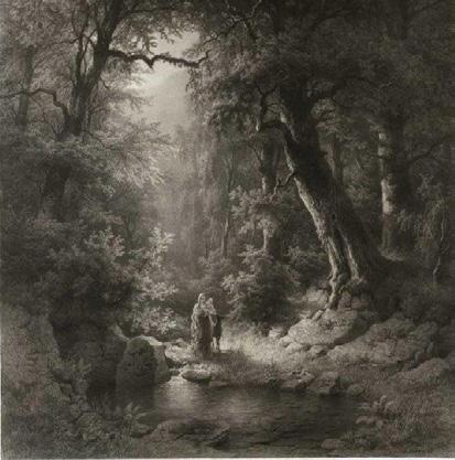
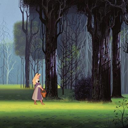
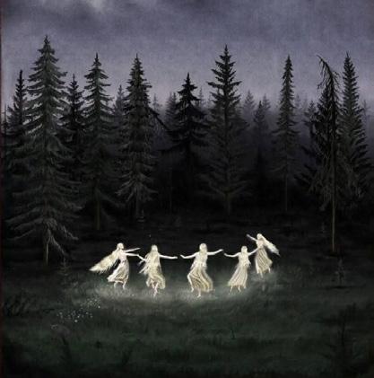
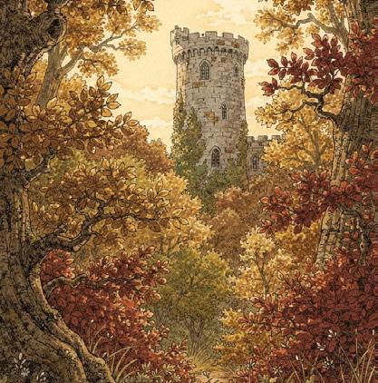
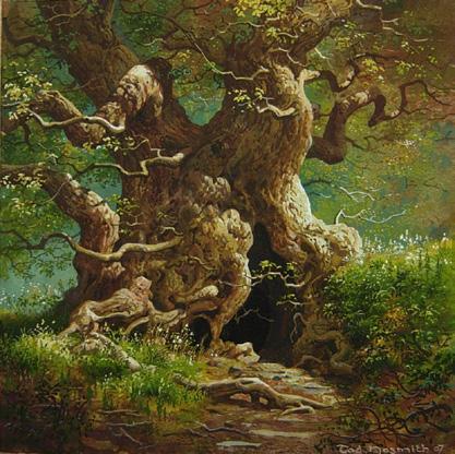
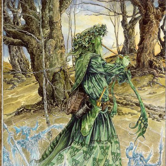
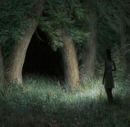
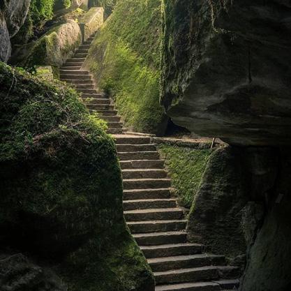
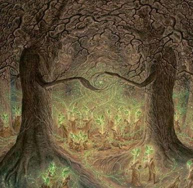
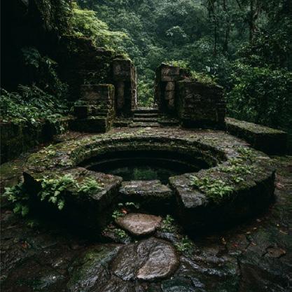
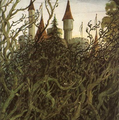
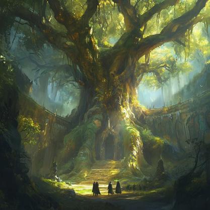
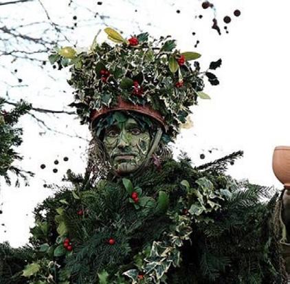
Visual interpretations of archetypes in fairy tales, film, and art reveal their inherent ambivalence.
1 the spring, 2 the forest edge, 3 the glade, 4 the tower, 5 the heart of the forest 6 the winter king
The Nemoretum: Prefiguring the woud
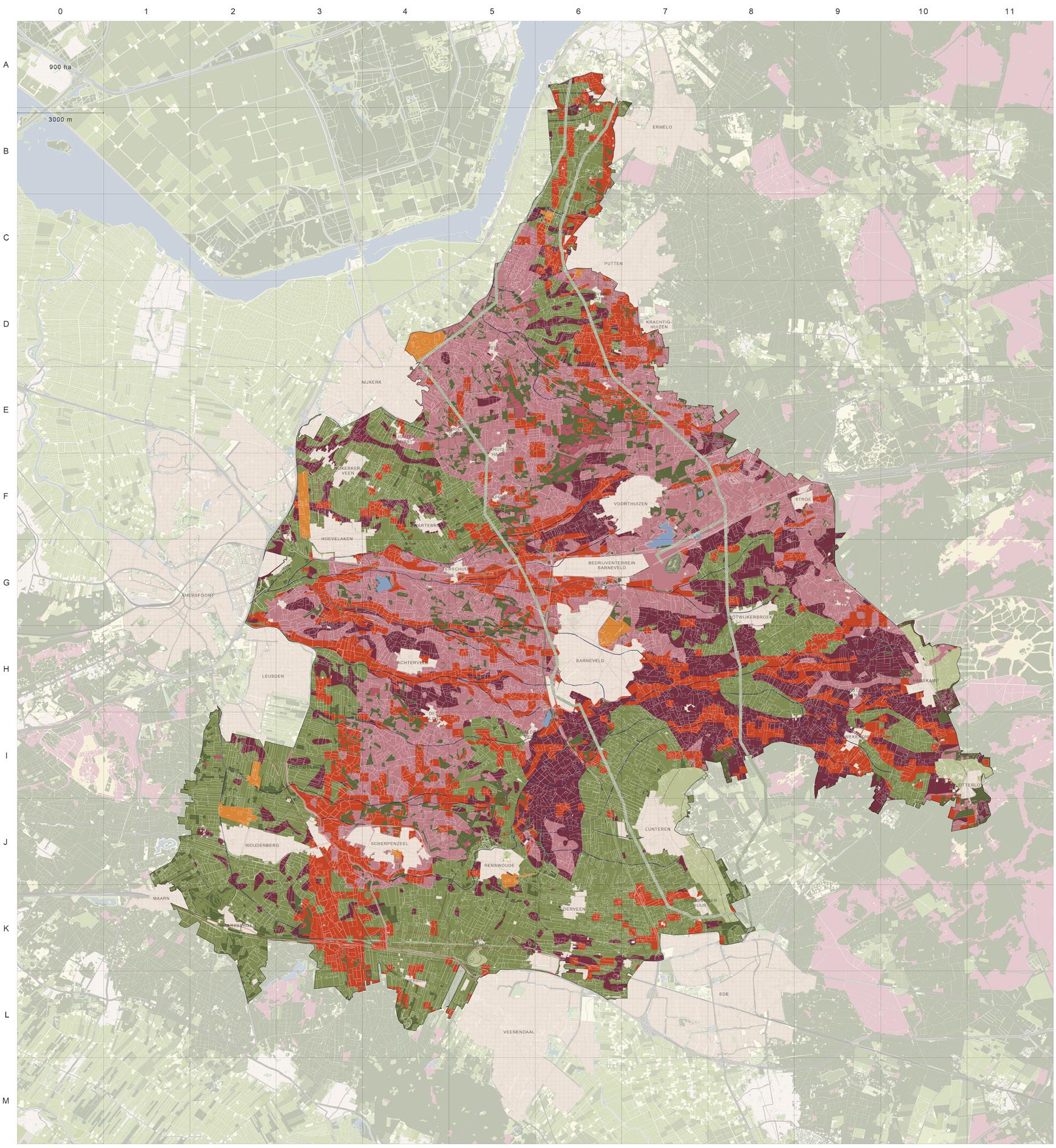
1 the spring, 2 the forest edge, 3 the glade, 4 the tower, 5 the heart of the forest 6 the winter king
1. The spring
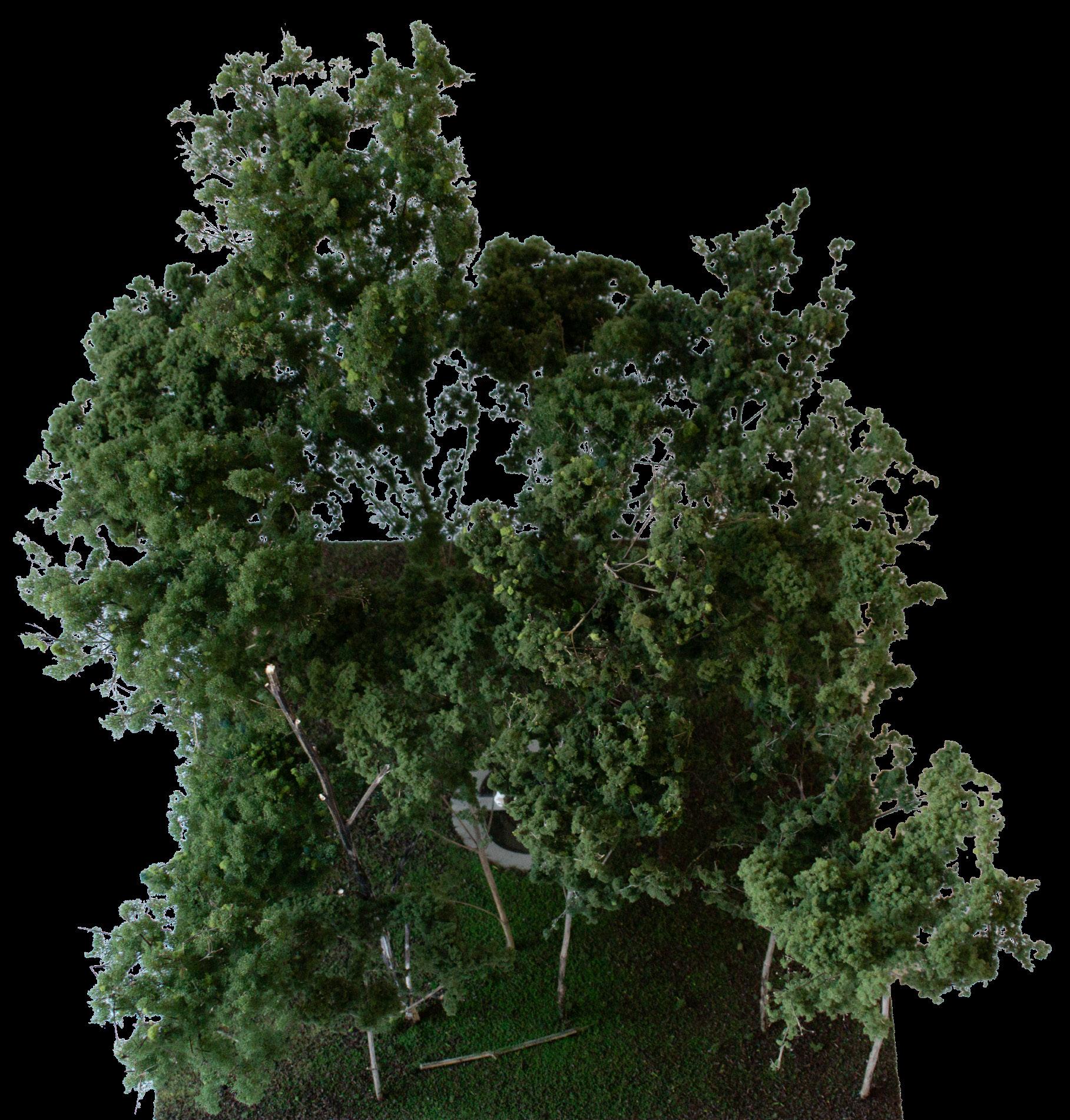
The spring and the well recur in fairy tales, sagas, and religious landscape traditions as places where hidden water becomes visible. They are associated with healing, renewal, and abundance, but also with attraction, uncertainty, and danger. In stories, a source may offer water with exceptional qualities, conceal an unseen presence, or mark the point at which an ordinary journey enters a less familiar world. Its meaning is therefore never entirely fixed. The spring is both a source of life and a threshold: a place where the visible landscape meets processes that remain partly concealed below the ground.
Within the Gelderse Vallei, this archetype is connected to the emergence of a new stream. A seepage-fed stream does not usually begin at one clear and singular source. Water first gathers through wet soil, shallow depressions, surface runoff, seepage, and groundwater before a recognisable flow appears. The Spring gives this gradual process a visible head. It does not reconstruct a historical sacred source, but concentrates the beginning of the
new stream into a place where its emergence can be recognised.
The circular basin descends to the local groundwater level. During wetter periods, rainwater, surface runoff, seepage, and groundwater gather across the wider surface before overflowing into the new stream course. During drier periods, the water level retreats towards the deeper centre of the basin, where the connection to groundwater remains visible.
The walking and seating elements within the circular basin allow the visitor to approach the source closely, to move around it, and to pause at its edge. The source can be encountered through reflection, sound, changing light, weather, season, and the visible or indirect presence of animals. The Spring therefore marks a new beginning within the emerging woud, while retaining the ambiguity that has long made springs and wells culturally charged places.
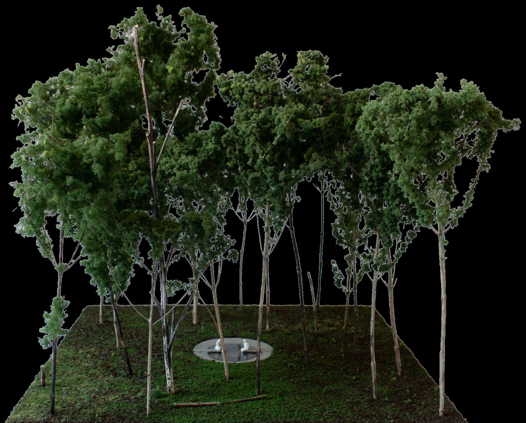
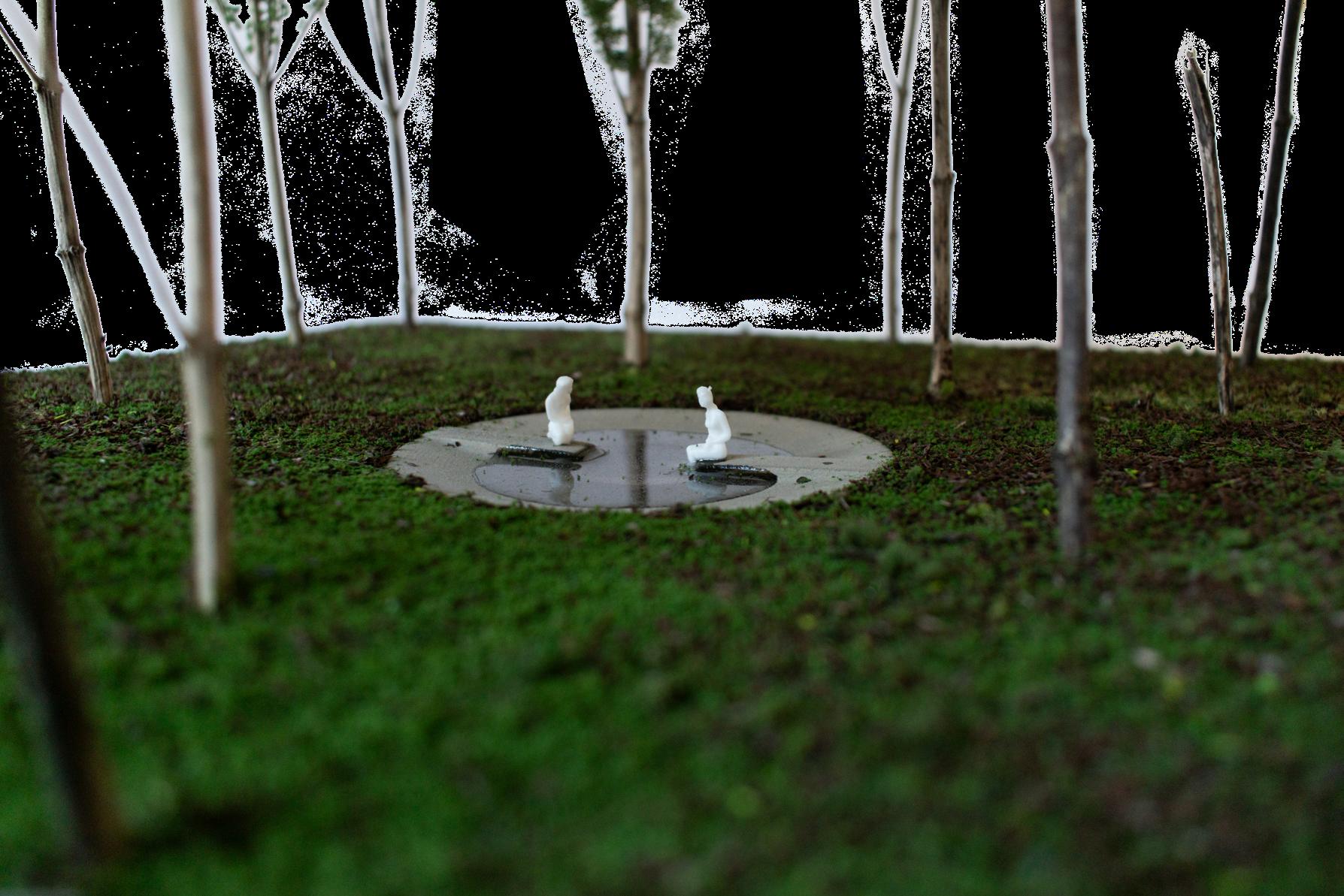

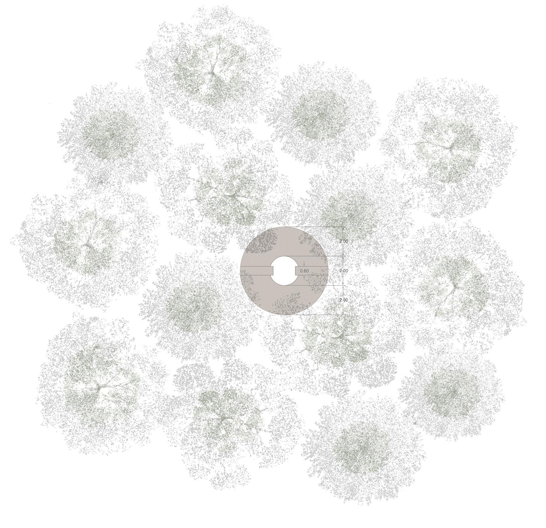

Location and biotope
The Spring is placed within a moist transition woodland of Birch–Oak to Alder–Oak woodland, at the edge or head of a shallow valley-shaped depression. It is not a true seepage spring, but a constructed watercollecting basin where rainwater, surface runoff, seepage and temporarily high groundwater can gather and overflow into the beginning of a new stream course. The setting remains open and legible around the water, with a light tree edge marking the transition from moist coversand flank to the lower valley depression.
Planting
- Ulmus laevis
- Alnus glutinosa
- Betula pubescens
2. The forest edge
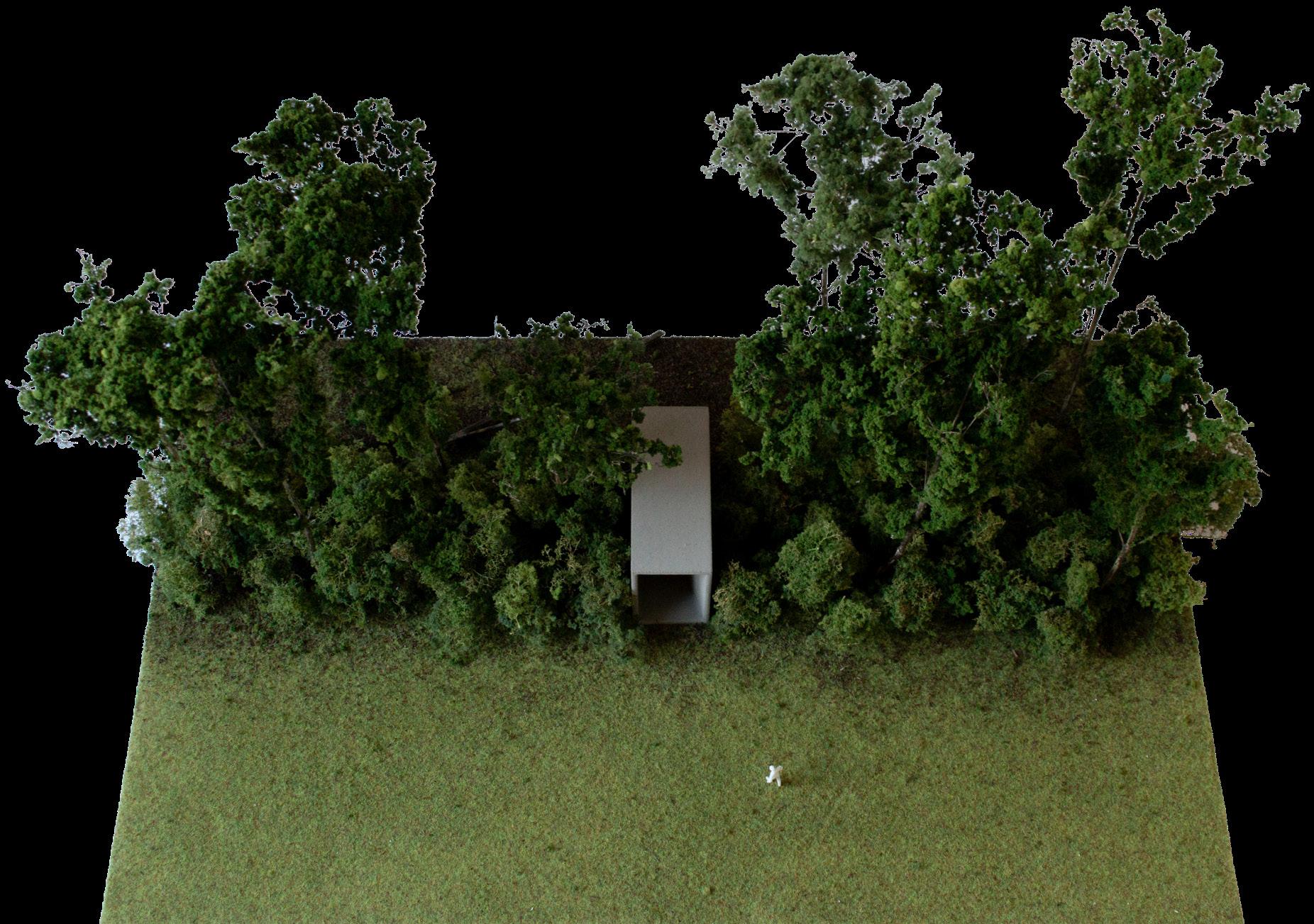
The forest edge marks the transition between the open and ordered agricultural landscape and the enclosed spatial world of the woud. Fields, roads, long sightlines, and familiar orientation remain behind, while the view ahead becomes increasingly interrupted by trunks, shrubs and shadow. The transition is experienced through more than sight. Sound becomes absorbed and redirected, smells of soil, leaf litter, flowers and wet vegetation become stronger.
In fairy tales, sagas, and woodland imagery, this transition often marks the beginning of a journey of uncertainty. The forest is entered when the ordinary world has been left behind, and when familiar rules, orientation, and protection can no longer be assumed. The edge therefore carries both attraction and hesitation. It can promise shelter, concealment, fruit, flowers, and abundance, but it also forms the point at which the visitor accepts the possibility of becoming lost, tested, or changed by what lies beyond.
The Forest Edge interprets this condition through a gradual narrowing of passage. The route begins in direct relation to the open agricultural landscape, but becomes progressively more enclosed as the structure compresses
the passage and reduces the connection with the world behind. At its narrowest point, the passage can only be entered or exited sideways. This bodily compression strengthens the experience of crossing the forest edge: the open landscape recedes, sound changes, and the visitor enters the more enclosed and less predictable spatial world of the woud.
The place may therefore become a setting for new rites of transition. Comparable rituals already exist in contemporary Dutch culture, for example the familiar school-camp dropping, in which young people are left in an unfamiliar landscape and must find their way back together. The Forest Edge could become part of such existing practices or provide the conditions from which new rituals emerge. Its portal-like experience of transition offers a controlled encounter with uncertainty, orientation, and collective decision-making. Its significance remains open. For one visitor, the passage may mark departure, courage, or becoming older; for another, it may remain a moment of pause before entering the emerging woud.
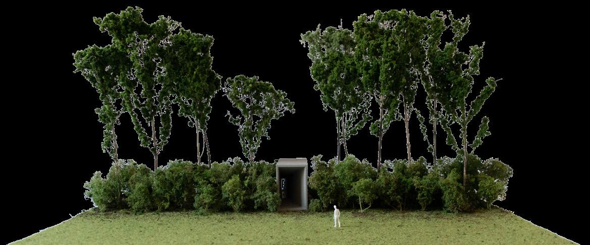
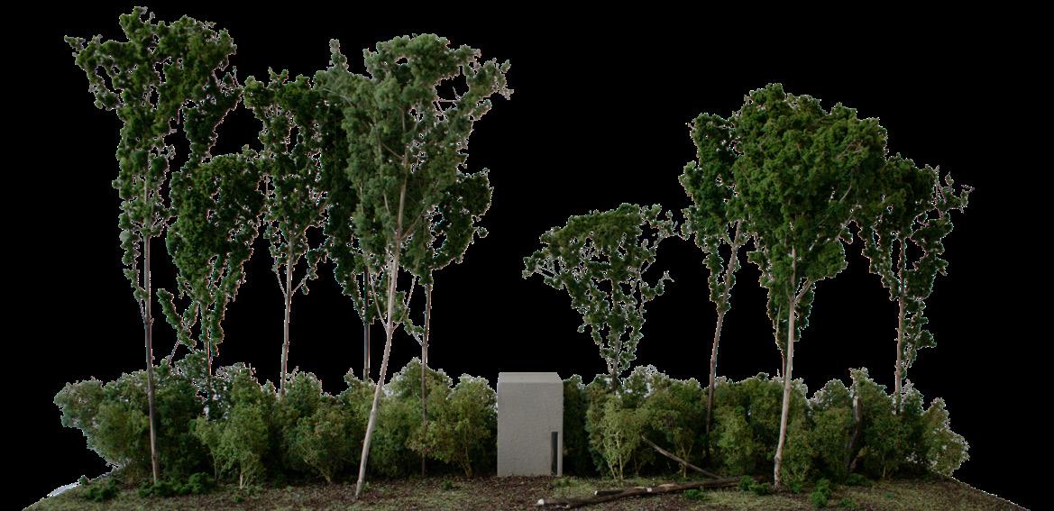
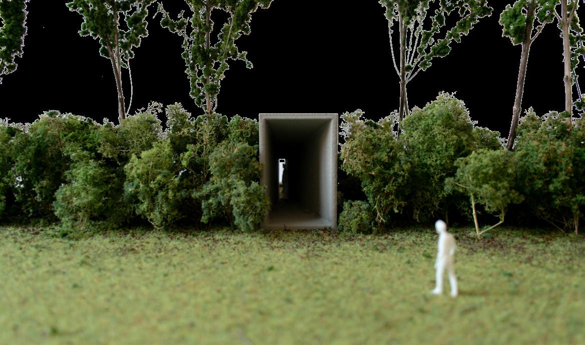
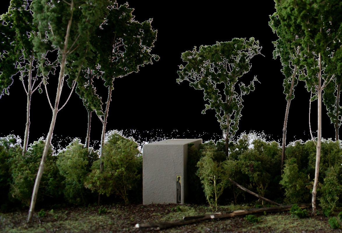
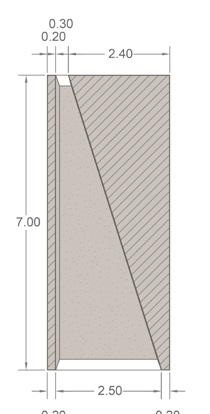
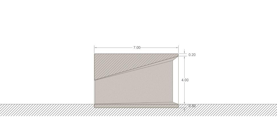
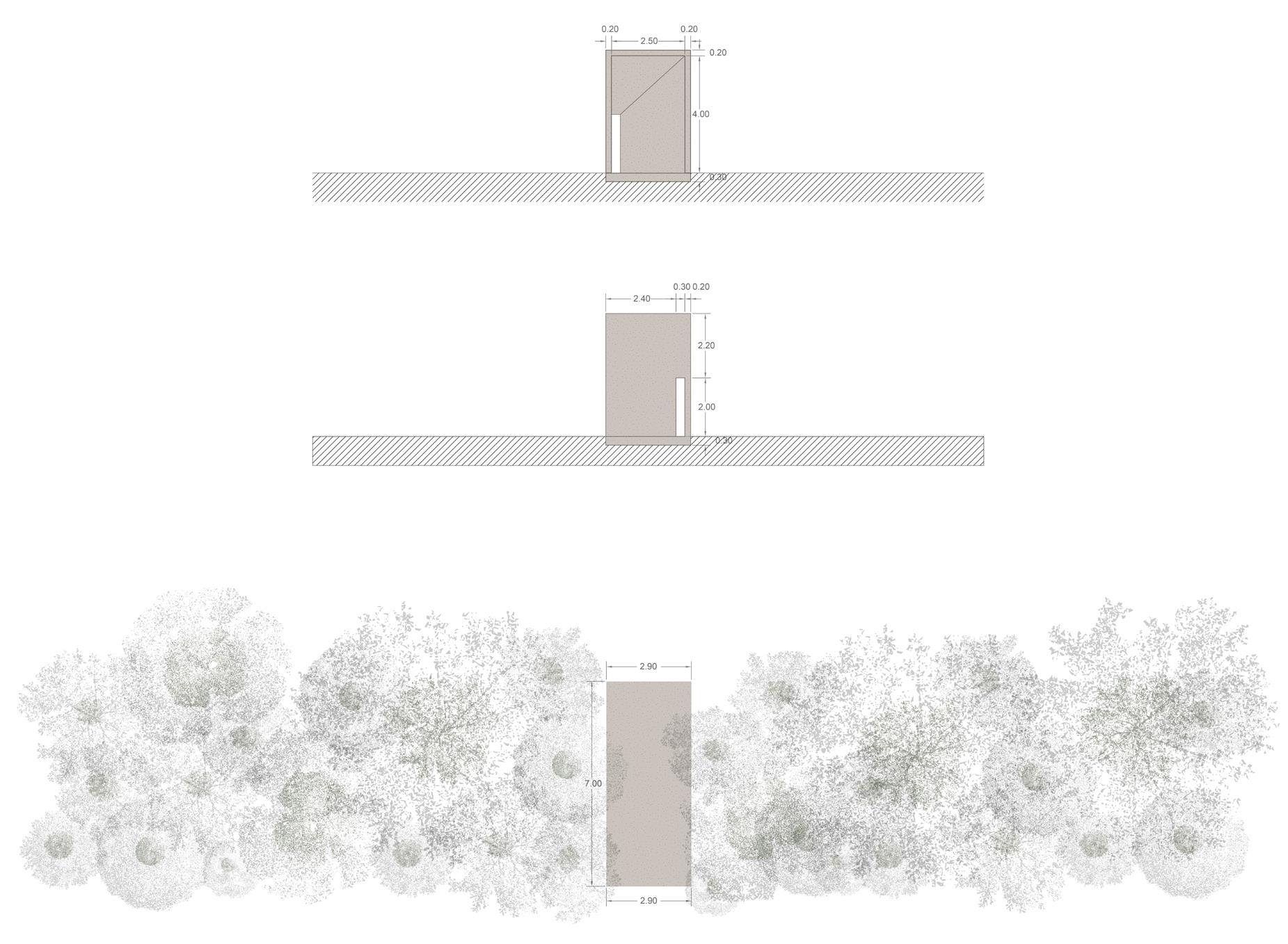
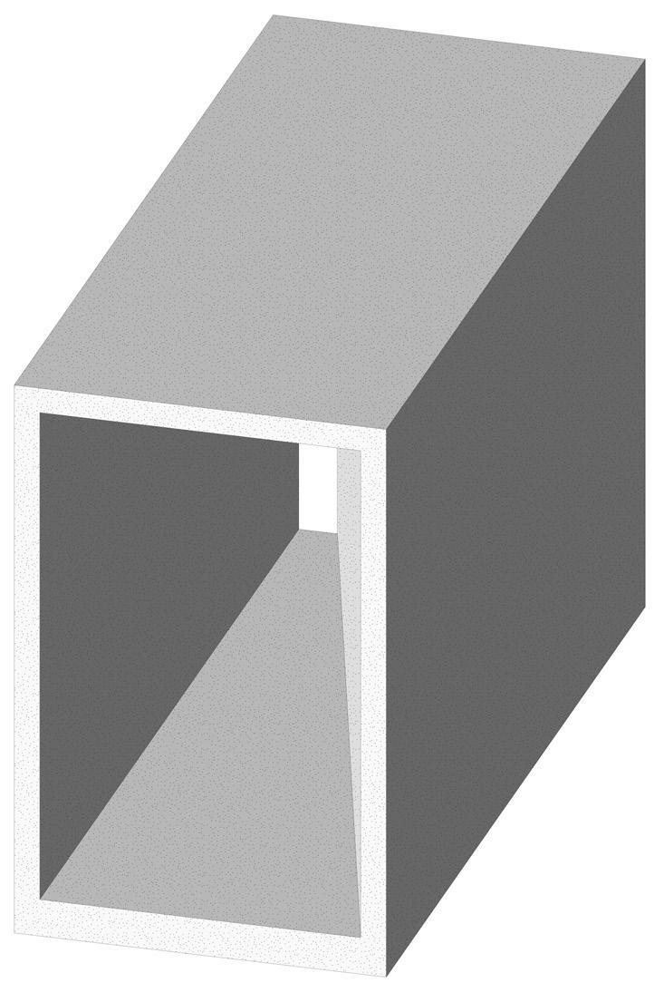
Location and biotope
The Forest Edge is placed in a Birch–Oak to Alder–Oak woodland transition, where meadow and woodland meet on a moist but well-drained sandy edge. It forms a dense, layered threshold rather than a hard boundary. The passage through the edge is framed by flowering, fruiting and thorny species, while Populus tremula acts as a temporary pioneer tree whose trembling leaves draw the visitor into the woodland.
Planting
- Populus tremula
- Quercus robur
- Betula pendula
- Betula pubescens
- Sorbus aucuparia
- Prunus padus,
- local Alnus glutinosa on wetter margins
- Corylus avellana
- Sambucus nigra
- Crataegus monogyna
- Rosa canina
- Prunus spinosa
- Frangula alnus
- Viburnum opulus
- Lonicera periclymenum
3. The glade
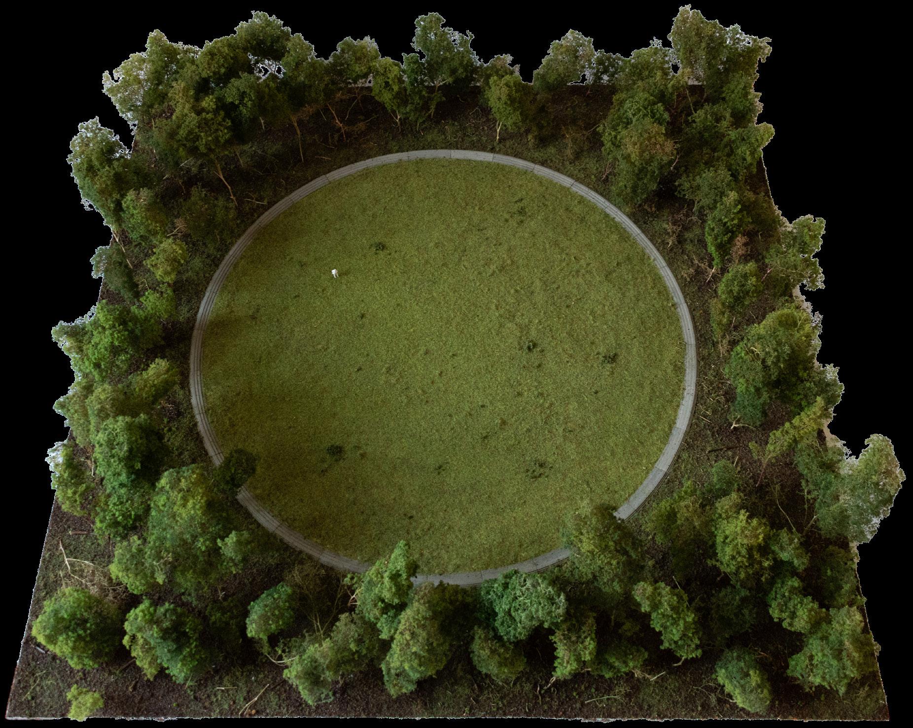
The glade is an opening held within the enclosure of the woud. Its spatial character arises through contrast. Shade, reduced sightlines, leaf litter, and the close presence of trunks give way to light, sky, weather, and an open ground plane. The surrounding woodland prevents the clearing from becoming part of the wider agricultural landscape. It remains bounded by trees and directed towards its own interior. People entering the glade become visible to one another, while the surrounding woud remains present at its edge.
In fairy tales, sagas, and folk narratives, such openings become places of encounter, gathering, dance, revelation, and exposure. Their meanings remain ambivalent. A glade may offer rest, beauty, and collective celebration, while also becoming the setting for forbidden meetings, nocturnal gatherings, or an encounter with an unseen presence. Dutch and Flemish folk narratives include stories of witches gathering and dancing in circles on open places in the forest. The clearing therefore appears both as a place of collective presence and as a place where ordinary social order can temporarily be unsettled.
The glade also carries political and religious associations. In early seventeenth-century Dutch historical painting, Otto van Veen placed the conspiracy of Julius Civilis and the Batavians in a sacred grove, turning the
woodland opening into an image of collective decision and resistance. The hagepreken offer a related Dutch resonance: Protestant congregations gathered beyond church and town in fields, orchards, and wooded terrain when public worship was restricted. This association remains relevant in the Gelderse Vallei, where Protestant culture continues to shape regional identity. The clearing therefore becomes a place where belief, speech, and collective presence can temporarily take form at the margin of official order.
The circular Glade gives spatial form to these associations. A continuous stepped element marks the boundary between the surrounding woud and the open centre. On its outer side, steep steps with short treads emphasise the abrupt transition from the enclosed woodland into the clearing. On the inner side, deeper and less steep steps slow the descent and change the rhythm of movement. Entering the glade becomes a gradual arrival rather than a simple crossing. The stepped ring defines the opening, provides places to sit, and gives the glade the capacity to receive a group. Its open centre can become a setting for seasonal gathering, music, collective reflection, or quieter forms of encounter. Through repeated use, the clearing may acquire new meanings within the developing woud, while retaining the ambiguity that has long made the glade a persistent figure in landscape imagination.
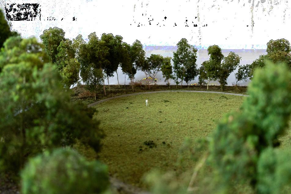
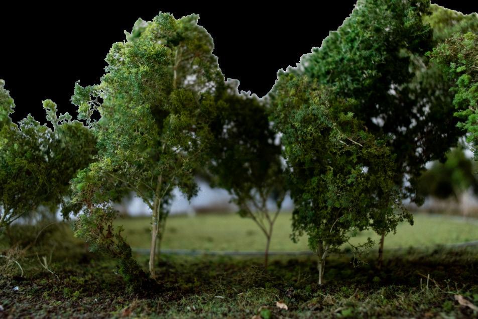
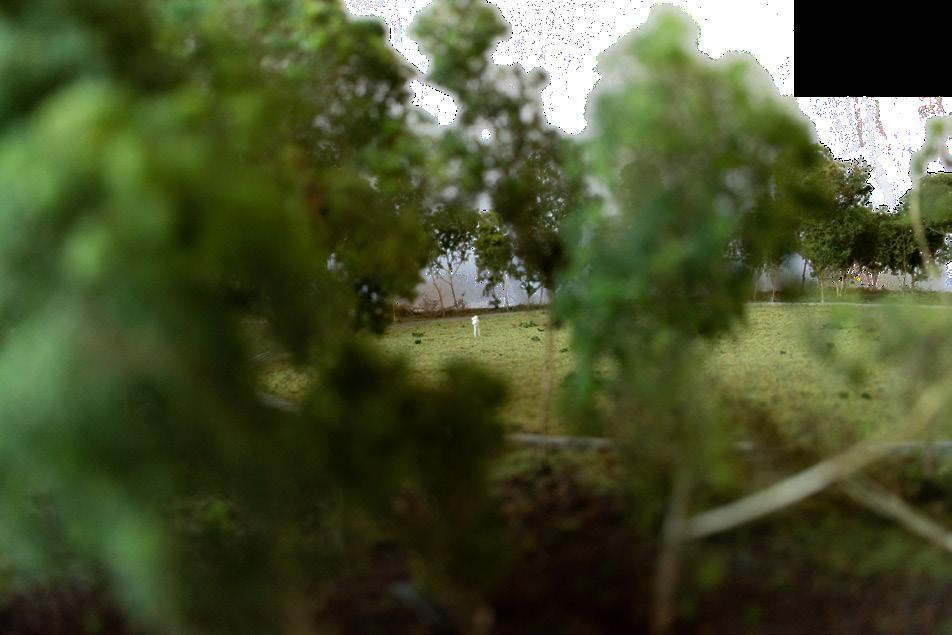
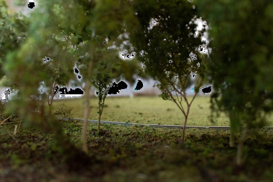
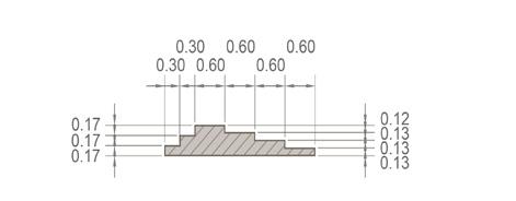
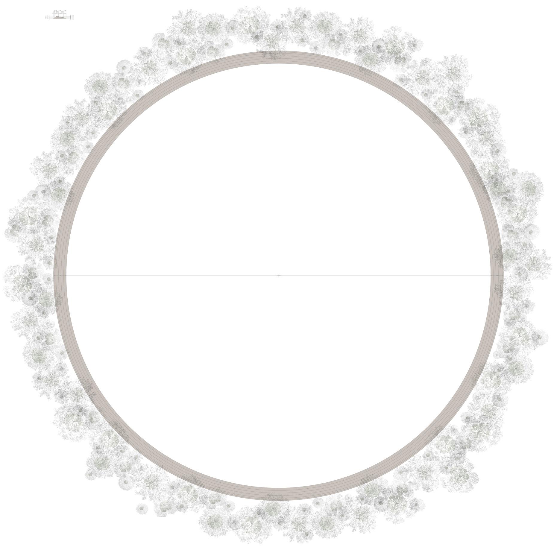

Location and biotope
The Glade is placed within a moist transition zone of Birch–Oak to Alder–Oak woodland, on ground that is fresh or seasonally moist but not permanently wet. The centre remains open and treefree, maintained as a grass and herb clearing. Around it, a rough and irregular nucleation edge forms a woodland room: higher trees on one side, lower mantle vegetation on another, and a deliberately uneven boundary between open field and developing forest.
Planting
- Quercus robur
- Betula pendula
- Prunus padus
- Sorbus aucuparia
- Corylus avellana
- Crataegus monogyna
- Frangula alnus
- Viburnum opulus
4. The tower
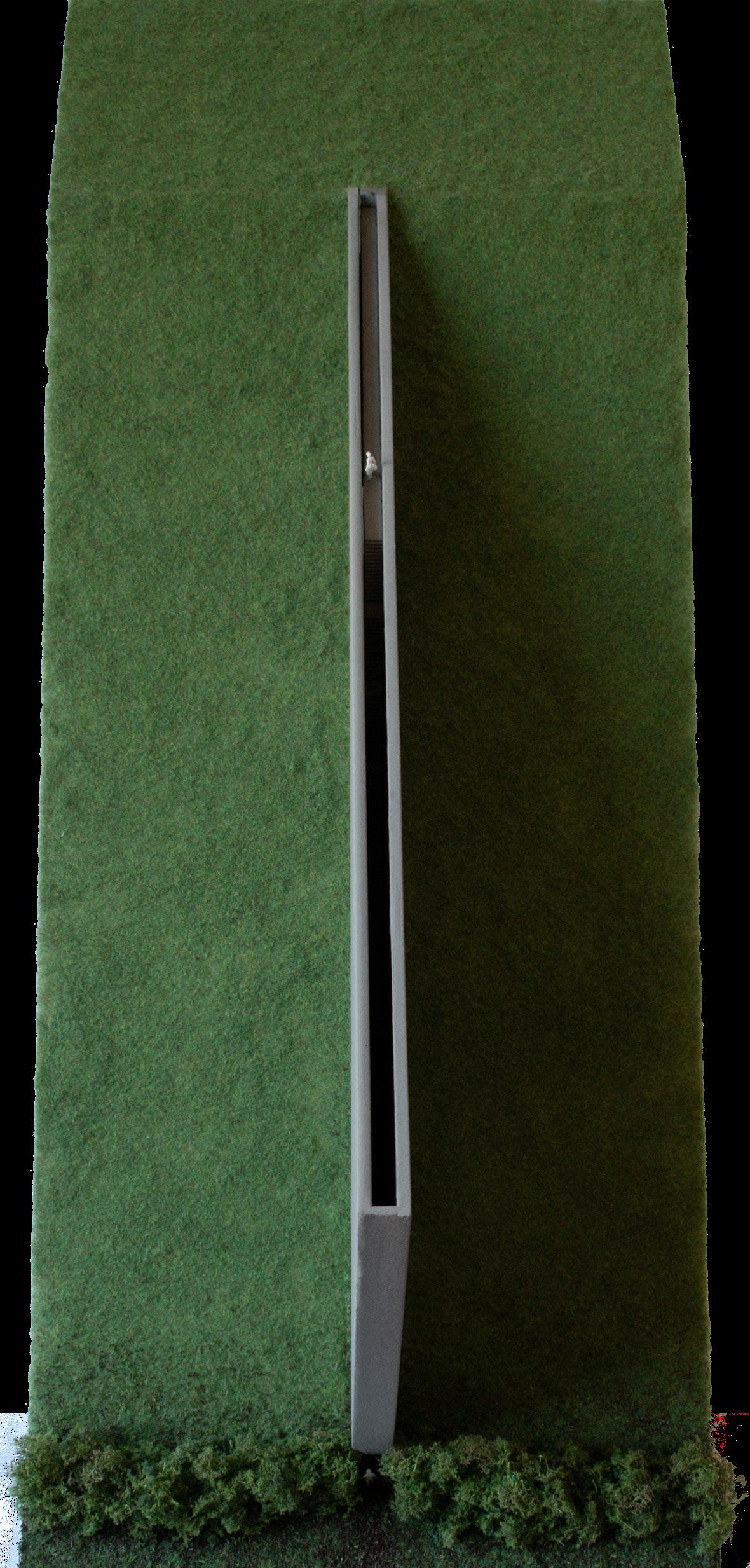
The Tower is a vertical, visible, and separated figure within the horizontal and enclosed world of the woud. In European fairy tales, towers often hold a person, an object, or a secret beyond ordinary reach. In the Grimm version of Rapunzel, the tower stands within a forest with neither door nor stair. Its height and inaccessibility make access an exceptional act, linking the tower to enclosure, watchfulness, desire, captivity, and escape. Seen from the surrounding landscape, it offers orientation; approached directly, it creates distance from the world below.
At Vink, the former landfill mound creates a related condition. Its raised body consists of accumulated waste and contaminated material, sealed beneath an engineered cover layer. The mound is protected by its own toxicity. Within the project, deep rooting, excavation, and ordinary access are excluded in order to preserve the layer that contains the pollution. It remains open, grassed, and tree-free as the surrounding woud develops. The woodland grows around a large and permanent exclusion within the forest landscape. Over time, the mound becomes a visible interruption within the canopy, while the thorn hedge at its foot reinforces the separation between the accessible woodland and the protected ground.
The Tower gives this permanent exclusion a single vertical route. A narrow stair rises along the edge of the mound within an enclosed structure that remains open to the sky. The close walls restrict lateral views during the ascent, while the opening above keeps light and sky continuously present. The climb begins beside the sealed body of the mound, passes through the level of the surrounding woud, and ends above the crown layer.
The steep stair makes ascent deliberate and physically demanding. At the top, a walking platform offers views across the open landfill mound, the developing canopy, and the wider landscape beyond. The ascent creates a sequence of below, within, and above: the toxic ground beneath the cover layer, the enclosing woud at mid-level, and the open horizon above it.
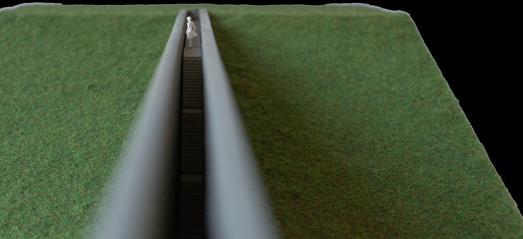
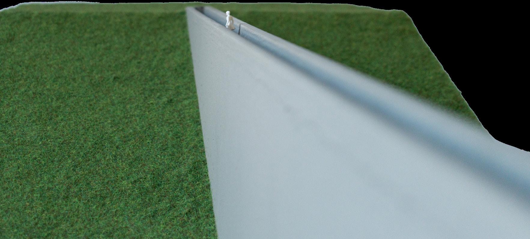
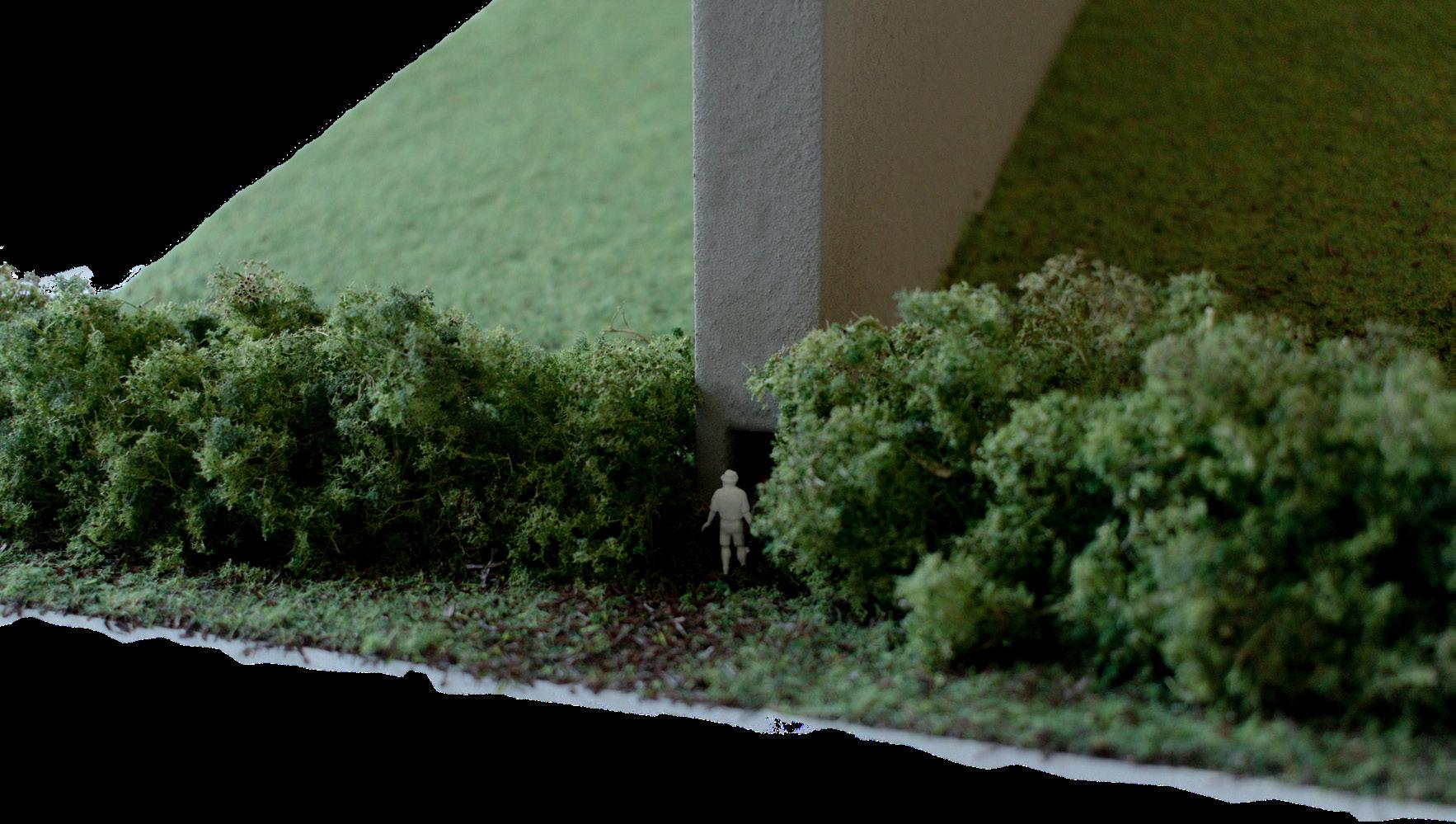
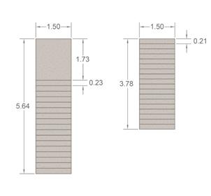


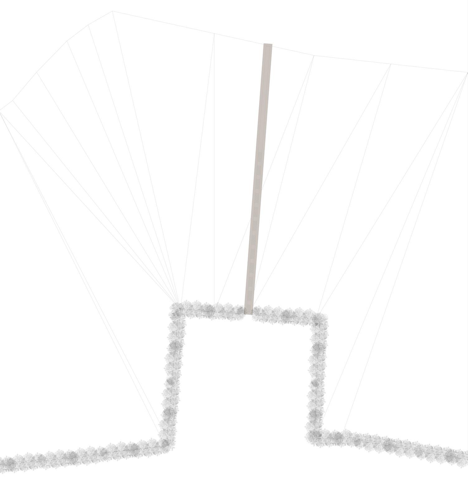
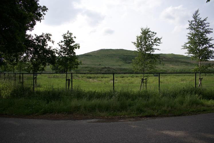
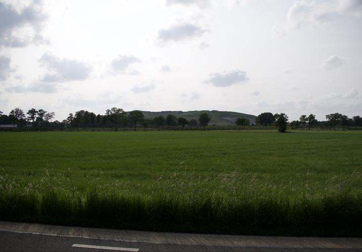
Landfill mound of Vink
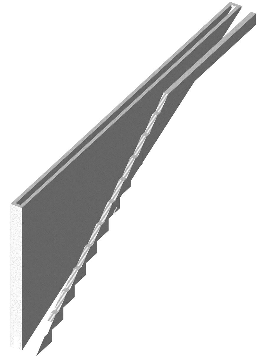
Location and biotope
The Tower is not a woodland plot itself, but an open, inaccessible mound enclosed by woodland. It is situated on the former landfill mound of Vink. Because the landfill body is technically sealed and potentially contaminated, the mound must remain unentered and tree-free: its own toxicity and engineered cover layer make it a protected, untouchable ground. The surface is maintained as grazed grassland to prevent woody root development and disturbance of the cover. Around the safe foot zone of the mound, a dense woven thorn hedge creates both a physical and visual boundary. The surrounding woodland forms a mixed transition between Birch–Oak woodland, Birch–Oak to Alder–Oak woodland and locally Bird Cherry–Ash to Alder–Oak woodland, because the
Vink landfill mound contours with ‘The tower’ site
Planting
- Crataegus monogyna
- Prunus spinosa
- Rosa canina
5. The heart of the forest
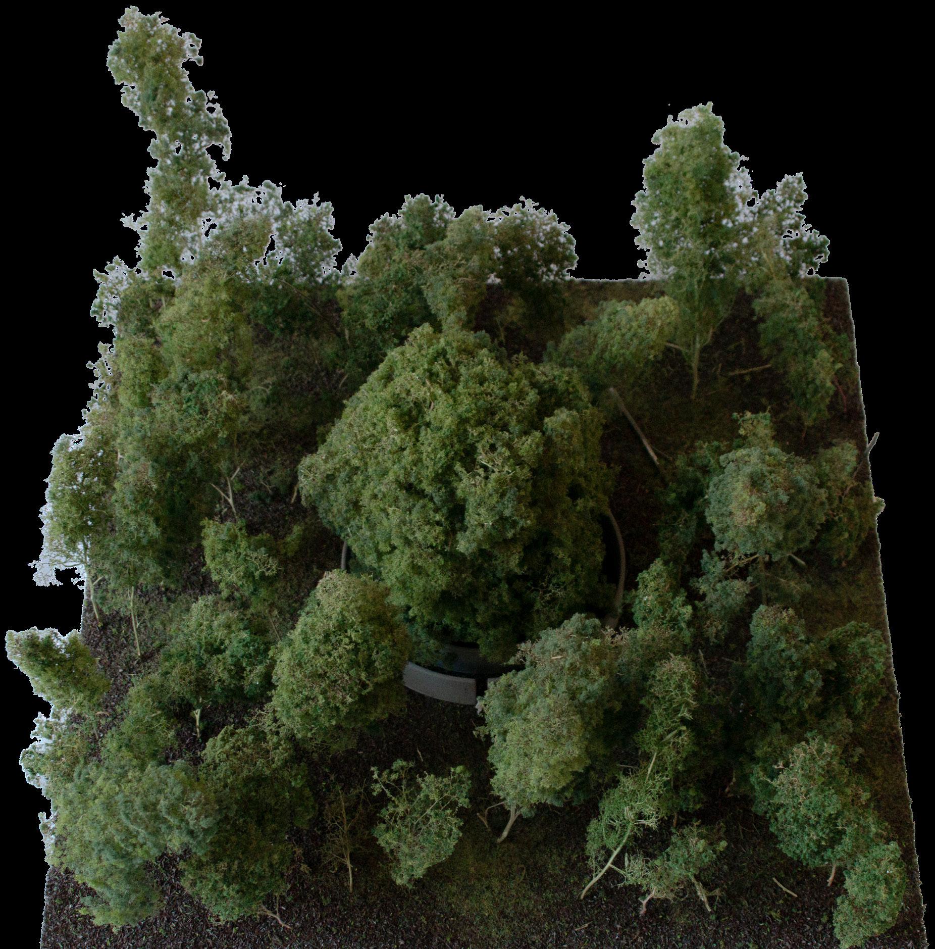
The heart of the forest names the interior of the woud in which the open landscape has receded furthest. Routes become less direct, distances harder to judge, and the visitor is surrounded by shade, sound, decay, and growth. Fairy tales, sagas, and woodland imagery repeatedly locate decisive encounters in such interiors: beside an ancient tree, near a hidden dwelling, or in the presence of an animal or figure that changes the course of a journey. An old or singular tree can give this interior a recognisable centre, allowing stories, meetings, and memories to accumulate around it.
The linden connects this figure to the agricultural landscape of the Gelderse Vallei. In pre-Christian Germanic tradition, the linden was associated with Freya or Frigg and with love, fertility, marriage, household prosperity, and protection. In later rural landscapes, lindens remained closely tied to dwelling and the farmyard. Leilinden were planted beside farmhouses as living sun screens, creating shade in summer while allowing winter light to enter. Later Christian traditions
attached devotional meanings to particular lindens, including associations with Mary, healing, and pilgrimage. Across these changing cultural layers, the tree remains connected to protection, domestic life, gathering, and fertility.
The Heart of the Forest establishes three closely planted Tilia cordata as a tree bouquet. Together, the trees may gradually develop into a broad, multi-stemmed tree body whose form contrasts with the surrounding woodland. Two concentric enclosing elements form a chamber around the tree. Two large openings in the outer ring lead into the space between both walls. A lower and deeper opening gives access to the inner chamber, requiring visitors to lower their bodies before entering beneath the developing crown. This change in posture strengthens the presence of the tree as the central figure of the place. A continuous seating element along the inner enclosure allows visitors to remain beneath the canopy.
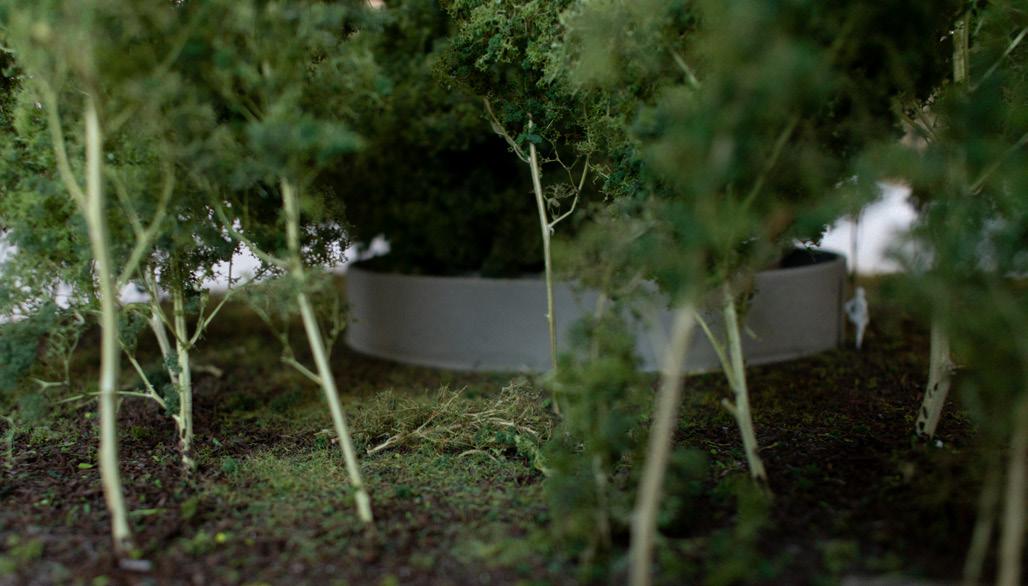
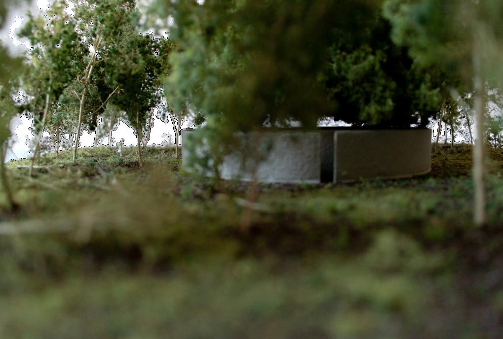
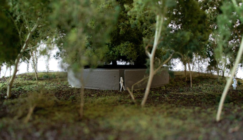
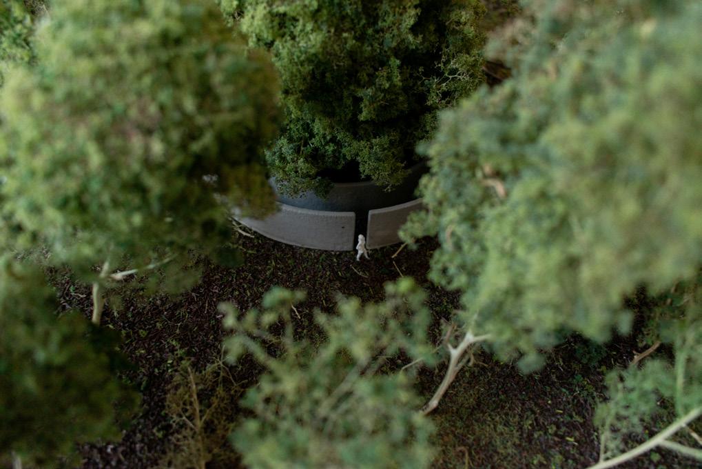
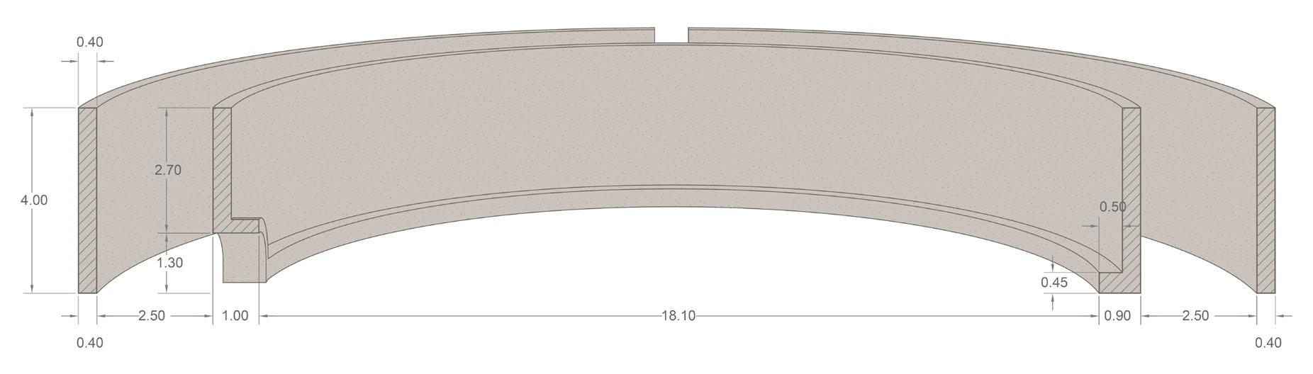
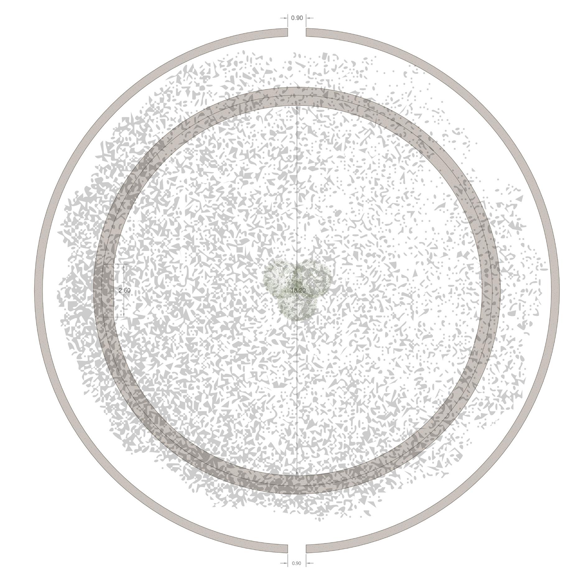

Location and biotope
The Heart of the Forest is placed on the transition between Birch–Oak to Alder–Oak woodland and Bird Cherry–Ash to Alder–Oak woodland. It occupies the higher mineral flank above a shallow valley depression, close to an existing woodland edge but outside the permanently wet carr zone. Here the forest becomes a threshold between dry sandy ground and the richer, moister valley edge. A three-stemmed tree bouquet of Tilia cordata forms a marked, long-lived centre within this developing woodland chamber.
Planting
- Tilia cordata
planted as three young trees in one shared planting pit to form a multi-stemmed, monumental tree bouquet.
6. The winter king
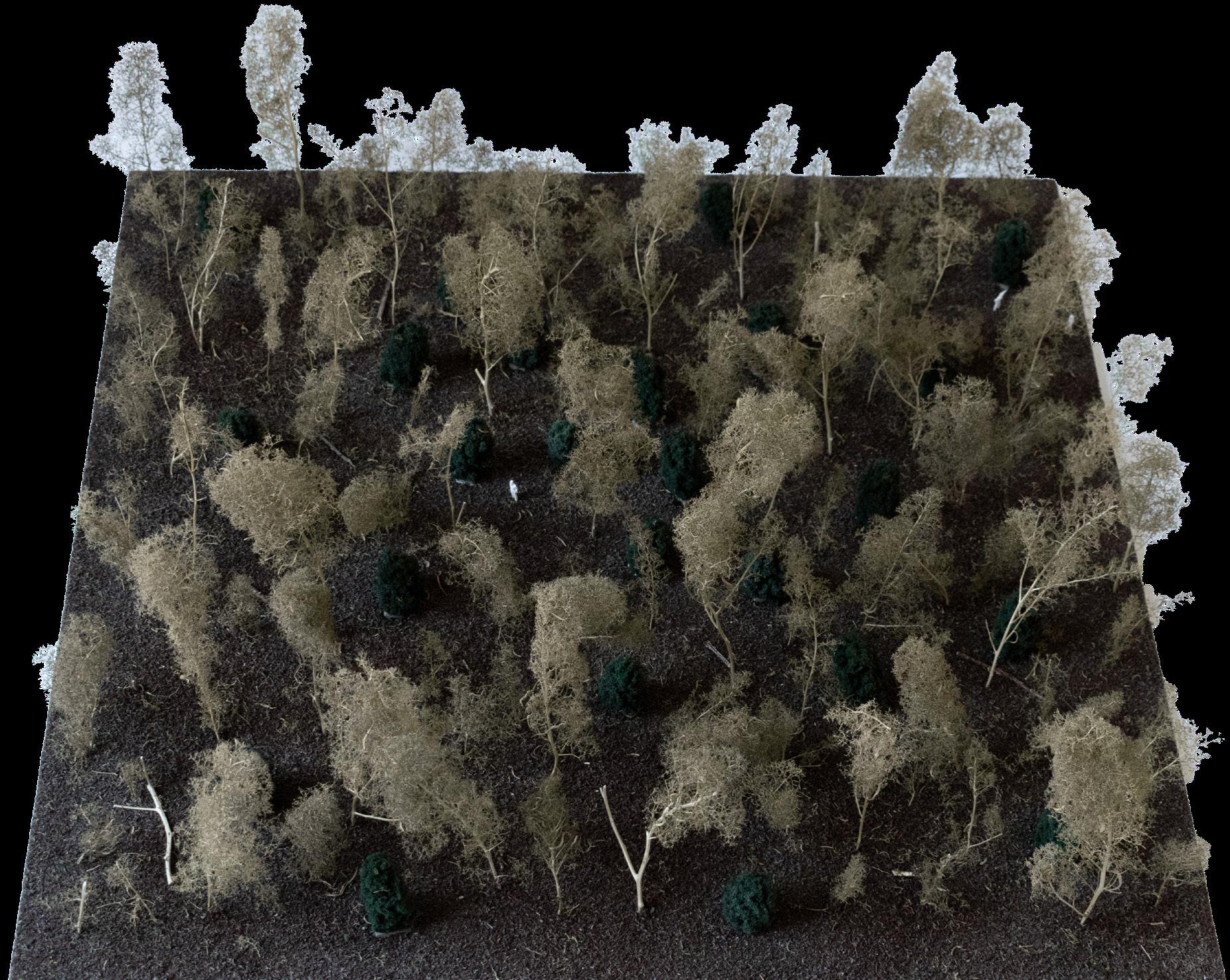
The Winter King draws on the long association between wintergreen plants and midwinter. In pre-Christian seasonal traditions, evergreen species such as holly were valued as signs of endurance, protection, and continuing life during the darkest period of the year, when the deciduous woodland had lost its leaves and much of its enclosure. Midwinter was understood as a liminal season, marked by vulnerability, persistence, and return. Later Christian traditions absorbed this symbolism into winter greenery, the Christmas wreath, and the Christmas tree. In contemporary landscape culture, holly also remains associated with remembrance and enduring life, which helps explain its frequent presence in churchyards and cemeteries.
The figure of the Winter King adds a more narrative layer to this seasonal meaning. In later folklore and seasonal mythology, winter and summer are sometimes personified through holly and oak, as alternating forces that succeed one another through the year. What matters here is not the literal authority of one story, but the persistent image it expresses: when winter arrives, the landscape does not become empty, but reveals another order of life within it.
The Winter King establishes a grove of holly within the woud. During spring and summer, it is largely absorbed into the surrounding woodland structure, partly concealed by undergrowth and the foliage of deciduous trees. When autumn passes and the leaves fall, a different forest appears: the dark, wintergreen grove of the Winter King. The planting creates varying densities. In some places, the hollies form almost enclosed chambers; elsewhere, they remain open and permeable. This gives the grove a shifting spatial character, somewhere between passage, room, and thicket.
The grove is held within sculpted concrete edges. Their form and dimension give the place a marked figure and may, for some visitors, evoke associations with the spatial language of the cemetery. This reinforces the relation between wintergreen planting, remembrance, and enduring life. Through its seasonal appearing and disappearing, the grove of the Winter King connects pre-Christian seasonal symbolism, later Christian winter traditions, and contemporary experience of the seasons. Over time, it may also become a place for new winter or midwinter rituals within the emerging woud.
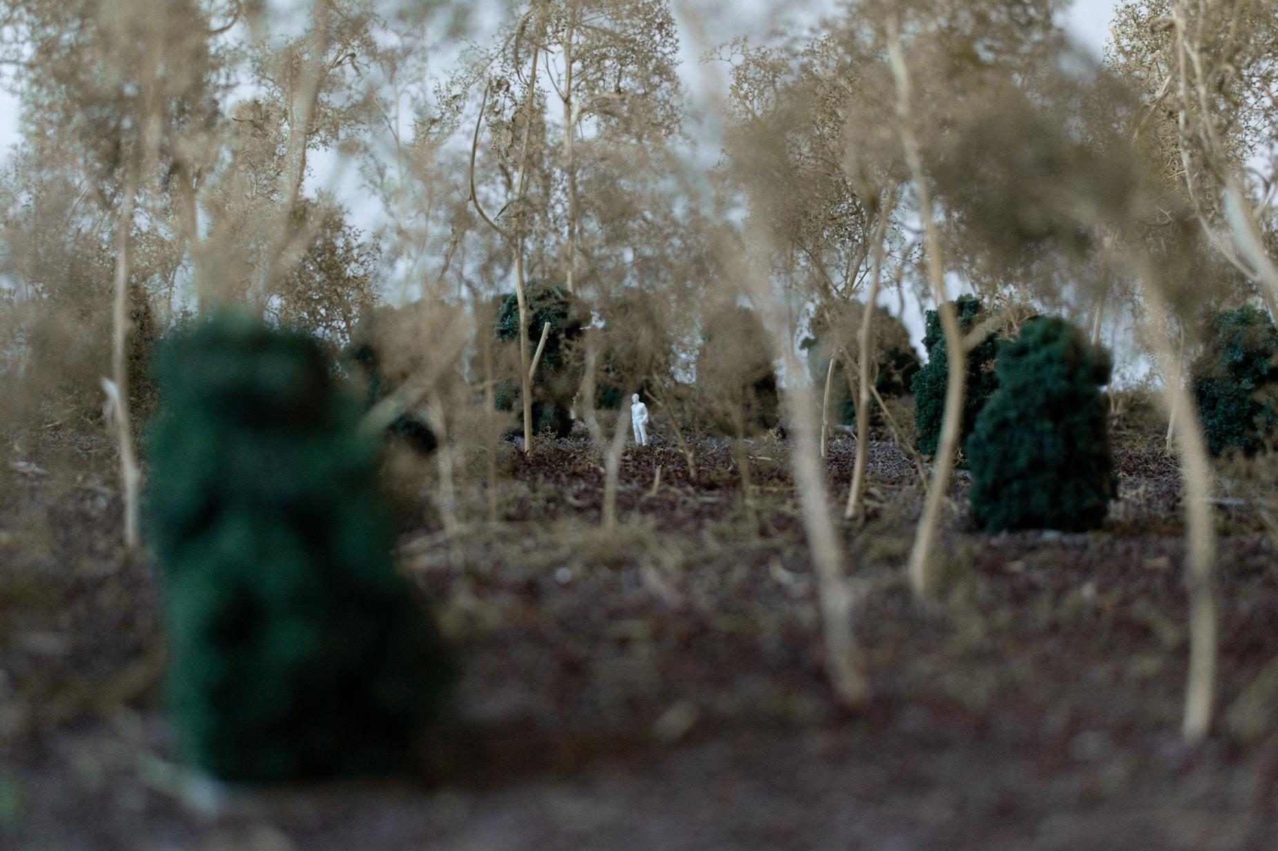
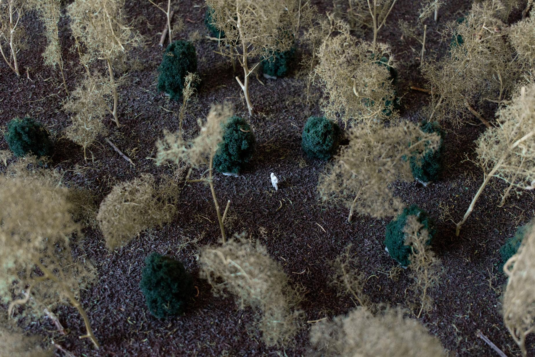
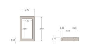

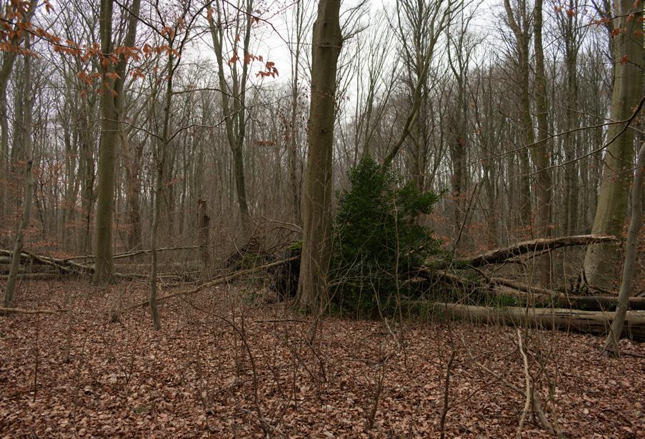
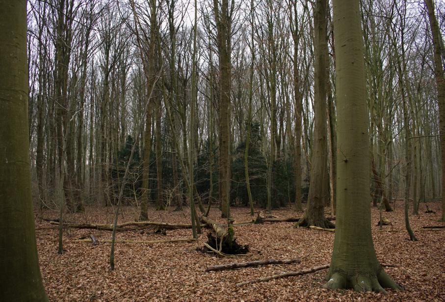

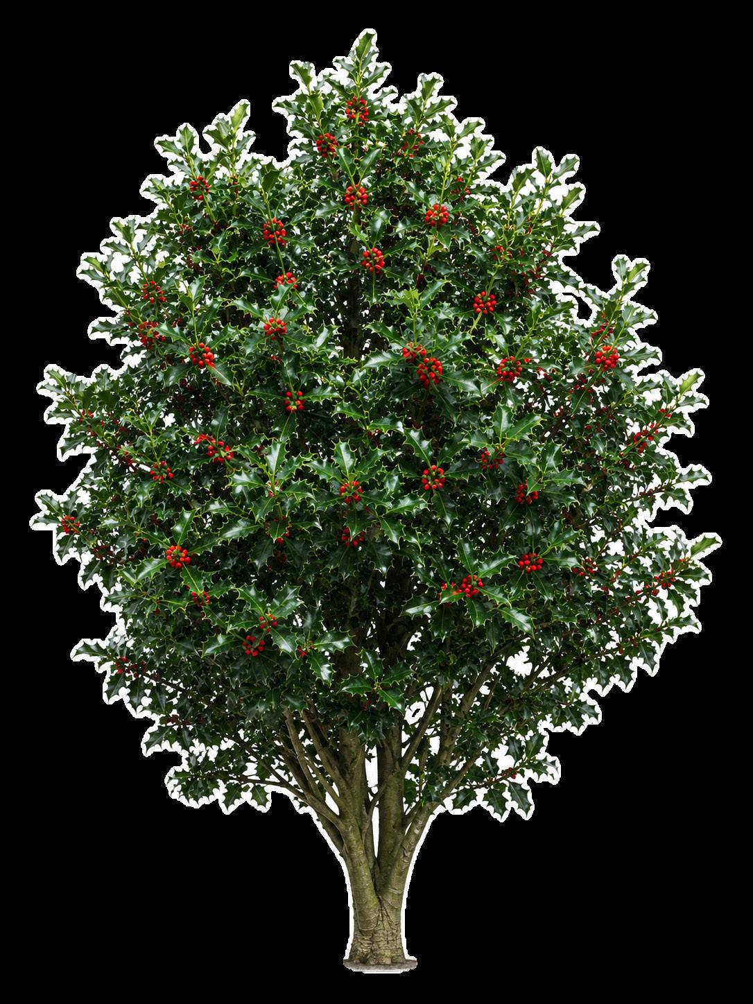
Location and biotope
The Winter King is placed within Birch–Oak woodland, specifically in a shaded, slightly richer and older-woodland-like edge on higher, well-drained coversand. It stands near an existing woodland edge or hedgerow structure, away from the wetter influence of the valley depression. In summer, Ilex aquifolium blends into a layered woodland understorey of shrubs, bramble, ferns and grasses; in winter, when most deciduous species lose their leaves, the evergreen holly becomes the visual bearer of the woodland.
Conclusion: From Bossenstrategie to Verwouding
This graduation project began with an investigation into the Dutch Bossenstrategie and the position of bos and woud within the Dutch landscape. The research asked not only how new forest could be added, but also whether something like a Dutch woud culture still exists, and where its traces can be found. This led to a broader reading of woud as both an ecological condition and a cultural landscape: present in old maps, place names, stories, sagas, fairy tales, and collective imagination, even where autonomous woud itself has disappeared.
From this research, the project developed a reinterpretation of the Bossenstrategie. Instead of spreading the national ambition of 37,000 hectares of new forest into many separate fragments, the project explores what could happen if this ambition were concentrated in the Gelderse Vallei. Positioned between the Veluwe and the Utrechtse Heuvelrug, the valley offers the possibility of creating a large, connected woud landscape in the centre of the Netherlands. At the same time, this location allows forest expansion to be linked to other urgent transitions: nitrogen reduction, the transformation of intensive livestock farming, ecological restoration, hydrological repair, and housing.
The analysis of the Gelderse Vallei showed that hydrology is one of the main drivers of future succession. Although the valley contains different sandy soil types, these differences are less decisive at the strategic scale than the variation in wet and dry conditions. Relief, seepage, groundwater, brook systems, drainage structures, and runoff from the surrounding push moraines create the gradients that determine where different woodland trajectories can emerge. These hydrological conditions, together with inherited landscape structures such as reclamation patterns, hedgerows, estates, settlements, infrastructure, and utility corridors, formed the basis for the woud structure map.
The project then translated these layers into a
projected woud condition after one hundred years of succession. Through applied nucleation, existing hedgerows, mother trees, and local landscape structures, the design explores how former agricultural land could gradually develop into a varied young woud. The outcome is not a uniform forest cover, but a differentiated landscape of birch–oak woodland, alder–oak transitions, bird cherry–ash and alder–oak zones, tall-herb alder woodland, and alder carr.
Alongside the ecological and spatial strategy, the project proposes a planning and ownership model for the transition from intensive livestock landscape to verwouding landscape. This combines buy-out, functional exchange, and the transformation of agricultural building plots, so that the financial imbalance between agricultural land and bosgrond can be addressed. After an initial period of fifty years, the areas set aside for verwouding are proposed to become part of an autonomous legal entity, protecting the long succession process beyond ordinary planning cycles. Although the full horizon of the project is 800 years, the design focuses on the first hundred years: the period in which the first woud generation can be guided, imagined, and culturally grounded.
The final and essential layer of the project is the nemoretum. The nemoreta translate woud archetypes into spatial places where people can already encounter the future woud experience. Based on archetypes from fairy tales, sagas, art and older nature-cultural traditions, they create conditions for recognition, ritual, attachment, and meaning. In this way, the project does not only ask how woud can grow ecologically, but also how a new Dutch woud culture might begin. Verwouding is therefore not directed towards a fixed end image, but towards a long-term process of succession, ecological autonomy, cultural attachment, and the gradual return of woud as both landscape and lived experience.
Acknowledgements
First, I would like to thank Mirjam Koevoet. Thank you for your sharp guidance and thoughtful input, but above all for your support throughout this intensive graduation process. I am very grateful for your involvement, your enthusiasm, and the way you were always there to think along with me.
I would also like to thank my other committee members, Thijs de Zeeuw and Jean-François Gauthier. Your questions, reflections, and critical input have helped me greatly. What I appreciated just as much was your genuine involvement and your willingness to keep sparring with me outside the formal committee meetings. Together, the three of you created a safe and pleasant atmosphere in which I felt heard, challenged, and free to develop this project in my own way.
My sincere thanks also go to Irene Stengs. Our sessions were essential during the research phase and had a strong influence on the direction of the design. Through these conversations, I came to understand the role of popular culture, ritual, and cultural attachment much more clearly, and was able to use them as part of both my research and design approach.
Lastly, I want to thank my family, friends, and colleagues. I cannot properly put into words what each of you has meant to me throughout this process, and you have all done too much for me to capture individually here. Thank you for your support, for being there when I needed it, and for helping me through the moments when, in the context of this graduation project, Without you, I could not have brought this project to where it is now, especially in the moments when I could door de bomen het bos niet meer zien. Thank you all.
References
Abram, D. (2017). The spell of the sensuous: Perception and language in a more-than-human world (20th anniversary ed.). Vintage.
Al Jazeera English. (2024, May 22). Nothing grows forever: The lessons to learn from nature | Dying Earth: E7 | Featured documentary [Video]. YouTube. https://www.youtube.com/watch?v=qf0lZ5nLYv4
Argeloo, M. (2023). Natuuramnesie: Hoe we vergeten zijn hoe de natuur er uitzag (3rd ed.). Atlas Contact. Armstrong, K. (2023). Sacred nature: How we can recover our bond with the natural world. Penguin Books.
Association Francis Hallé pour la forêt primaire. (n.d.). The project: Restoring a primeval forest in Western Europe. https:// www.foretprimaire-francishalle.org/en/project-restoring-a-primeval-forest-in-western-europe/ BIJ12. (n.d.). N13 Vogelgraslanden. https://www.bij12.nl/onderwerp/natuursubsidies/index-natuur-en-landschap/ natuurtypen/n13-vogelgraslanden/
Bremer, P. (2017). Eeuwenoud bos in Overijssel: Achtergronddocument bij de Atlas van Overijssel (Cultuurhistorische Waardenkaart). Provincie Overijssel.
Buis, J. (1985). Historia forestis: Nederlandse bosgeschiedenis (Vols. 1–2) [Doctoral dissertation, Landbouwhogeschool Wageningen]. HES Uitgevers.
Bürmann, S., & Kersten, H. (2023, May 2). Nederlandse natuur heeft veel te lijden, niet alleen van stikstof. NOS. https://nos. nl/collectie/13871/artikel/2473603-nederlandse-natuur-heeft-veel-te-lijden-niet-alleen-van-stikstof
Busch, J., Bukoski, J. J., Cook-Patton, S. C., Griscom, B., Kaczan, D., Potts, M. D., Yi, Y., & Vincent, J. R. (2024). Costeffectiveness of natural forest regeneration and plantations for climate mitigation. Nature Climate Change, 14, 996–1002. https://doi.org/10.1038/s41558-024-02068-1
College van Rijksadviseurs. (2020, August). Landschap versterken met bomen en bos: Advies en ontwerpverkenning voor het ontwikkelen van een Bossenstrategie.
Compendium voor de Leefomgeving. (2025, October 9). Stikstofdepositie, 1990–2024. https://www.clo.nl/indicatoren/ nl018922-stikstofdepositie-1990-2024
Cordero Pinchansky, S., Castro Cordero, R., & Castro Salazar, R. (2021). Increasing forest cover for a CO2 neutral future: Costa Rica case study. Estudios de Economía Aplicada, 39(3). https://doi.org/10.25115/eea.v39i3.5080
Damen, F. (2024, January 4). Rechten geven aan natuurgebieden: Grote revolutie of toch vooral een vaag idee? NOS/ Nieuwsuur. https://nos.nl/nieuwsuur/artikel/2503748-rechten-geven-aan-natuurgebieden-grote-revolutie-of-toch-vooraleen-vaag-idee
De Verteller, A. (2015). Van aardmannetje tot zwarte juffer: Een lijst van Nederlandse en Vlaamse elfen en geesten. Abe de Verteller. https://www.abedeverteller.nl/van-aardmannetje-tot-zwarte-juffer-een-lijst-van-nederlandse-en-vlaamse-elfenen-geesten/
de Volkskrant. (2026, March 19). Verdwijnend oerbos is nog veel beter in het opslaan van CO2 dan wetenschappers dachten. de Volkskrant. https://www.volkskrant.nl/wetenschap/verdwijnend-oerbos-is-nog-veel-beter-in-het-opslaan-vanco2-dan-wetenschappers-dachten~bb962690/
Den Outer, J. (2023). Rechten voor de natuur (2nd ed.). Lemniscaat.
Didde, R. (2026, April 3). Aanplant nieuw bos hapert. Binnenlands Bestuur. https://www.binnenlandsbestuur.nl/ruimte-enmilieu/aanplant-nieuw-bos-hapert
Drenthen, M. (2021). Hek: De ethiek van de grens tussen boerenland en natuurgebied (2nd ed.). Noordboek Natuur.
Eijgenraam, G., Groenewoudt, B., & Kosian, M. (2022). Verdwenen bos opnieuw op de kaart: Aanzet tot een landelijke kartering van bos in het laatmiddeleeuwse landschap aan de hand van bos-gerelateerde plaatsnamen. Tijdschrift voor Historische Geografie, 7(1), 44–64. https://doi.org/10.5117/THG2022.1.003.EIJG
Gemeente Barneveld. (n.d.). Handboek landschap Barneveld: Voor een nog beter en mooier landschap in de gemeente Barneveld.
Gemeente Barneveld. (n.d.). Het landschap als basis voor uw plan. https://www.barneveld.nl/omgevingswet/hetlandschap-als-basis-voor-uw-plan
Giesecke, A., & Jacobs, N. (2015). The good gardener?: Nature, humanity and the garden. Artifice.
Gibson, J. J. (2015). The ecological approach to visual perception (Classic ed.). Psychology Press. Original work published 1979.
Global Alliance for the Rights of Nature. (n.d.). Global Alliance for the Rights of Nature (GARN). https://www.garn.org/
Grantham Research Institute on Climate Change and the Environment. (n.d.). Forest Law (Law No. 7575). Climate Change Laws of the World. https://climate-laws.org/document/forest-law-law-no-7575_618a
Halliday, T. (2023). Otherlands: A world in the making. Penguin Books.
Hecate Deinze. (n.d.). Keltische boomkalender. https://hecatedeinze.wordpress.com/keltische-boomkalender/
Het Haagse Groen. (2019, October 4). Eeuwig leven voor eerste Haagse veteraan boom op landgoed Clingendael. https://www.hethaagsegroen.nl/groen+werk/1456467.aspx
Jansen, P., Van Benthem, M., & Boosten, M. (2012). Bosgeschiedenis en erfgoed: Handreikingen voor (veld)onderzoek. Stichting Probos.
Johnston, E. (2022, February 16). Costa Rica: Paradise on Earth. Royal Botanic Gardens, Kew. https://www.kew.org/readand-watch/costa-rica-biodiversity
Jukema, G., Ramaekers, P., & Berkhout, P. (2023). De Nederlandse agrarische sector in internationaal verband: Editie 2023 (Wageningen Economic Research Rapport No. 2023-004). Wageningen Economic Research. https://doi. org/10.18174/584222
Kadaster. (2025, January 31). Prijs van agrarische grond verdubbeld in 12 jaar. https://www.kadaster.nl/-/prijs-vanagrarische-grond-verdubbelt-in-12-jaar
Karres+Brands. (2016). De Zeven Nieuwe Nederlanden. Raad voor de Leefomgeving en Infrastructuur.
Ketelaars, J. (Director). (2024, May). Eeuwige bossen [Video]. L1. https://www.l1.nl/video/2651208/limburg-doc-eeuwigebossen
Kimmerer, R. W. (2024). Een vlecht van heilig gras: Hoe de natuur, wetenschap en traditionele kennis ons leren respectvol met de aarde om te gaan (3rd ed.). Altamira.
Klingen, S. (2020a). Bos en klimaat: Zeven vragen over. Incido.
Klingen, S. (2020b). Twaalf boslessen: Voor inzicht in bosbeheer (4th ed.). Incido.
Kras, J. (2024, July 28). We planten een heleboel bomen om de opwarming tegen te gaan, maar is dat wel zo’n goed idee? Scientias.nl. https://scientias.nl/we-planten-een-heleboel-bomen-om-de-opwarming-tegen-te-gaan-maar-is-datwel-zon-goed-idee/
Laing, O. (2024). The garden against time: In search of a common paradise (1st ed.). Pan Macmillan.
Łaszkiewicz, W. (2017). Into the wild woods: On the significance of trees and forests in fantasy fiction. Mythlore, 36(1), 39–58. https://dc.swosu.edu/mythlore/vol36/iss1/4/
Laurie, P. (2023). Native: Life in a vanishing landscape. Birlinn.
Lauwigi, L., & Schuyf, J. (2019, October 12). Judith Schuyf—Heidense heiligdommen: Zichtbare sporen van een verloren verleden (No. 61) [Podcast episode]. In Lezen in het donker. NPO Radio 1. https://www.nporadio1.nl/podcasts/lezen-inhet-donker/22308/61-judith-schuyf-heidense-heiligdommen-zichtbare-sporen-van-een-verloren-verleden
Lemaire, T. (1970). Filosofie van het landschap (2nd ed.). Ambo.
Lemaire, T. (2023). Bomen en bossen: Bondgenoten voor een leefbare aarde. Ambo|Anthos.
Les Jardins de La Pascalinette. (n.d.). Boom- en schaduwrijke camping in de Provence: Ontdek onze lindebomen. https:// www.lapascalinette.nl/planten/tilleul-nl/
Macfarlane, R. (2021). De laatste wildernis (N. Groen, Trans.). Athenaeum. Original work published 2007.
Maes, B. (2016, March). Atlas van het landschappelijk groen erfgoed van Nederland: Cultuurhistorisch waardevolle bossen, houtwallen en heggen (Rapportage Onderzoek Nederlands Cultuurlandschap 2). Rijksdienst voor het Cultureel Erfgoed.
Marris, E. (2022). Waarom wilde natuur niet meer bestaat: Een nieuwe kijk op de relatie tussen mens en dier. Nieuw Amsterdam.
Martens, P., & Van de Goor, M. (2022). De heilige natuur: Niet-westerse stemmen over dier, mens en klimaat. Noordboek.
Miedema, T. (2001). Bomen en bossen in de Griekse mythologie. Nederlands Bosbouw Tijdschrift.
Ministerie van Landbouw, Natuur en Voedselkwaliteit, & Interprovinciaal Overleg. (2020a). Ambities en doelen van Rijk en provincies voor de Bossenstrategie. https://open.overheid.nl/documenten/ronl-6fa96f4b-c9ad-484a-a266185436479b39/pdf
Ministerie van Landbouw, Natuur en Voedselkwaliteit, & Interprovinciaal Overleg. (2020b). Bos voor de toekomst: Uitwerking ambities en doelen landelijke Bossenstrategie en beleidsagenda 2030. Rijksoverheid. https://www. rijksoverheid.nl/documenten/kamerstukken/2020/11/18/uitwerking-ambities-en-doelen-landelijke-bossenstrategie-enbeleidsagenda-2030
Murguia, J. M., Ordoñez, P., Corral, L., & Navarrete-Chacón, G. (2022). Payment for ecosystem services in Costa Rica: Evaluation of a country-wide program (IDB Discussion Paper No. IDB-DP-00950). Inter-American Development Bank. https://publications.iadb.org/publications/english/document/Payment-for-Ecosystem-Services-in-Costa-Rica-Evaluationof-a-Country-wide-Program.pdf
Naudts, K., Chen, Y., McGrath, M. J., Ryder, J., Valade, A., Otto, J., & Luyssaert, S. (2016). Europe’s forest management did not mitigate climate warming. Science, 351(6273), 597–600. https://doi.org/10.1126/science.aad7270
Natuur & Milieu. (2023a). Bomen voor biodiversiteit: Groene bomenlijst. https://natuurenmilieu.nl/app/uploads/Groenebomenlijst-2023-Natuur-Milieu.pdf
Natuur & Milieu. (2023b). Bomen voor biodiversiteit: Zwarte bomenlijst. https://natuurenmilieu.nl/app/uploads/Zwartebomenlijst-2023-Natuur-Milieu.pdf
Natuurmonumenten. (n.d.). Onze weidevogels. https://www.natuurmonumenten.nl/dieren/weidevogels
NOS. (2016, February 5). Bomen planten hielp CO2-reductie juist niet. NOS. https://nos.nl/artikel/2085042-bomenplanten-hielp-co2-reductie-juist-niet
NOS. (2022, November 30). Waddenacademie: Eigen rechten kunnen het Wad beter beschermen. NOS. https://nos.nl/ regio/friesland/artikel/333643-waddenacademie-eigen-rechten-kunnen-het-wad-beter-beschermen
NOS. (2023, November 30). Natuur herstelt zich na graasverbod voor damherten in Waterleidingduinen. NOS. https:// nos.nl/artikel/2499785-natuur-herstelt-zich-na-graasverbod-voor-damherten-in-waterleidingduinen
NOS. (2024, January 23). Defensie heeft ruimte nodig: “Natuur en munitieopslag zijn ideale combinatie.” NOS. https:// nos.nl/artikel/2505973-defensie-heeft-ruimte-nodig-natuur-en-munitieopslag-zijn-ideale-combinatie
NOS. (2024, February 25). Plannen voor natuur, stikstof en klimaat onvoldoende om doelen te halen. NOS. https://nos.nl/ collectie/13901/artikel/2510408-plannen-voor-natuur-stikstof-en-klimaat-onvoldoende-om-doelen-te-halen
NOS. (2024, April 1). Als iedereen zou leven als Nederland zijn er vier aardbollen nodig. NOS. https://nos.nl/ artikel/2515029-als-iedereen-zou-leven-als-nederland-zijn-er-vier-aardbollen-nodig
NOS. (2024, April 9). Vanavond op tv: “Laks klimaatbeleid schendt mensenrechten” • Wie lost de mestcrisis op? NOS/ Nieuwsuur. https://nos.nl/nieuwsuur/artikel/2516105-vanavond-op-tv-laks-klimaatbeleid-schendt-mensenrechten-wielost-de-mestcrisis-op
NOS. (2024, May 4). Zeearend broedt in afgesloten stukje natuur bij Groningen. NOS. https://nos.nl/artikel/2519200zeearend-broedt-in-afgesloten-stukje-natuur-bij-groningen
NOS. (2024, May 11). Klacht in Brussel over Nederlandse aanpak landbouwgif in drinkwatergebieden. NOS. https://nos. nl/artikel/2520055-klacht-in-brussel-over-nederlandse-aanpak-landbouwgif-in-drinkwatergebieden NOS. (2024, May 15). CBS: Nederland is rijk en gelukkig, welvaart wel ten koste van latere generaties. NOS. https://nos.nl/ artikel/2520567-cbs-nederland-is-rijk-en-gelukkig-welvaart-wel-ten-koste-van-latere-generaties
NU.nl. (2026, March 20). Verdwijnend oerbos neemt veel meer koolstof op dan gedacht. NU.nl. https://www.nu.nl/ algemeen/6389858/verdwijnend-oerbos-neemt-veel-meer-koolstof-op-dan-gedacht.html
Ottosson, J., & Grahn, P. (2021). Nature archetypes: Concepts related to objects and phenomena in natural environments. A Swedish case. Frontiers in Psychology, 11, Article 612672. https://doi.org/10.3389/fpsyg.2020.612672
Pascual, D., Hugelius, G., Canadell, J. G., Harden, J., Jackson, R. B., Georgiou, K., Jonshagen, A., Lindström, J., Ljung, K., Register, E., Volle, C., Asch, J., Ervander, U., Fälthammar de Jong, G., Sun, J., & Ahlström, A. (2026). Higher carbon storage in primary than secondary boreal forests in Sweden. Science, 391(6791), 1256–1261. https://doi.org/10.1126/science. adz8554
Penders, D. (2023, December 19). Onderzoek naar bomen in Nederlandse gemeenten. Natuur & Milieu. https:// natuurenmilieu.nl/nieuws-artikel/onderzoek-naar-bomen-in-nederlandse-gemeenten/
Planbureau voor de Leefomgeving. (2026). Naar een duurzame ruimtelijke inrichting van Nederland: Reflectie op de Ontwerp-Nota Ruimte; aanbevelingen en analyse. https://www.pbl.nl/system/files/document/2026-01/pbl-2026-reflectieontwerp-nota-ruimte-5977b.pdf
Poon, L. (2022, April 21). How cities became accidental wildlife havens. Bloomberg CityLab. https://www.bloomberg.com/ news/articles/2022-04-21/how-to-coexist-with-animals-in-cities-from-rats-to-coyotes
Provincie Gelderland. (n.d.). Aanpak Veluwe: Samen voor een leefbare Veluwe. https://www.gelderland.nl/themas/ organisatie/samenwerkingen/aanpak-veluwe
Provincie Gelderland, & BoschSlabbers. (n.d.). Streekgids Ruimtelijke Kwaliteit & Landschap: Gelderse Vallei—Deelgebied Barneveldse beken. https://geodata.gelderland.nl/bestanden/Geo-teksten/Dataset/Ls_Kernkwaliteiten_deelgebieden/ Gidsen_deelgebieden_Gelderse_Vallei/Gids_Gelderse_Vallei_deelgebied_Barneveldse_beken.pdf
Raap, E., & Janse, J. (2021). Historische schets van bossen en bosaanplant in Nederland. Rijksdienst voor het Cultureel Erfgoed & Staatsbosbeheer. https://www.staatsbosbeheer.nl/-/media/10-wat-we-doen/bos-beheren/2021-rapporthistorische-schets-van-bossen-en-bosaanplant-in-nederland.pdf
Rijksdienst voor het Cultureel Erfgoed. (n.d.). Kaart groen erfgoed [Dataset]. https://www.cultureelerfgoed.nl/ onderwerpen/b/bronnen-en-kaarten/overzicht/kaart-groen-erfgoed
Rijksdienst voor Ondernemend Nederland. (2026, January 22). Agrarisch Natuur- en Landschapsbeheer (ANLb). https:// www.rvo.nl/subsidies-financiering/anlb
Schouten, M. (2022). Het andere en het eigene: Onze relatie met natuur en landschap. Noordboek.
Schuttenhelm, R. (2024, January 12). Het is nog kletsnat, maar experts waarschuwen: Denk alvast na over zomerdroogte. NOS. https://nos.nl/artikel/2504650-het-is-nog-kletsnat-maar-experts-waarschuwen-denk-alvast-na-over-zomerdroogte
Schuttenhelm, R. (2024, February 26). Hermelijn blijft sneeuwwit in zachte Nederlandse winters, en dat is een probleem. NOS. https://nos.nl/artikel/2510451-hermelijn-blijft-sneeuwwit-in-zachte-nederlandse-winters-en-dat-is-een-probleem
Schuttenhelm, R. (2024, March 26). 2023 slechtste vlinderjaar in decennia, “voor veel soorten bleef het armoe.” NOS. https://nos.nl/artikel/2514347-2023-slechtste-vlinderjaar-in-decennia-voor-veel-soorten-bleef-het-armoe
Schuttenhelm, R. (2024, March 29). Het “mooiste bos van Nederland” is een schatkamer van biodiversiteit. NOS. https:// nos.nl/artikel/2514677-het-mooiste-bos-van-nederland-is-een-schatkamer-van-biodiversiteit
Schuttenhelm, R. (2024, April 24). Bloeiende planten verdwijnen uit Nederlandse natuur door tekort aan insecten. NOS. https://nos.nl/artikel/2518024-bloeiende-planten-verdwijnen-uit-nederlandse-natuur-door-tekort-aan-insecten
Schuttenhelm, R. (2024, May 23). Nederland kampioen biodiversiteitsverlies, “de natuur staat er dramatisch voor.” NOS. https://nos.nl/artikel/2521490-nederland-kampioen-biodiversiteitsverlies-de-natuur-staat-er-dramatisch-voor
Schuyf, J. (2023). Heidense heiligdommen: Zichtbare sporen van een verloren verleden (3rd ed.). Omniboek. Simard, S. (2021). Op zoek naar de moederboom: Ontdek de wijsheid van bossen (T. Ram, Trans.). Prometheus. Original work published 2021.
Strand, S. (2022). The flowering wand: Rewilding the sacred masculine. Inner Traditions. TenneT TSO B.V. (2024). Gedragscode houtopstanden en hakhoutbeheer. Rijksdienst voor Ondernemend Nederland.
https://www.rvo.nl/sites/default/files/2024-12/Gedragscode-houtopstanden-TenneT.pdf
United Nations Framework Convention on Climate Change. (n.d.). Payments for Environmental Services Program | Costa Rica. https://unfccc.int/climate-action/momentum-for-change/financing-for-climate-friendly-investment/payments-forenvironmental-services-program
Van den Berg, L. J. L., Baeten, L., Bloem, J., Brouwer, E., Van der Burg, R. F., De Graaf, M. C. C., Verbaarschot, E., Verheijen, K., Van der Vlist, S., & Weijters, M. (2022). Naar een strategie voor ontwikkeling van soortenrijke bossen op voormalige landbouwgronden (Rapport No. OBN-2020-119-NZ). Kennisnetwerk OBN. https://www.natuurkennis.nl/Uploaded_files/ Publicaties/obn-2020-119-nz-soortenrijke-bossen-op-voormalige-landbouwgronden.f775c1.pdf
Van der Meulen, D. (2021). Het bedwongen bos: Nederlanders en hun natuur. Noordboek.
Van der Veen, A. J. (n.d.). De wijsheid van bomen en kruiden. Mijnbestseller.
Van der Veen, A. J. (2012). De symboliek van bomen. Mijnbestseller.
Van Gelder, E. (2024, January 21). Vissers en Afrikaanse pinguïns ruziën om hetzelfde sardientje. NOS. https://nos.nl/ artikel/2505758-vissers-en-afrikaanse-pinguins-ruzien-om-hetzelfde-sardientje
Vander Mijnsbrugge, K., & Missoorten, M. (2014). Eik als erfgoeddrager: Relicten van eikenhakhout in de Hoge Kempen. Tijd-Schrift, 4(2), 71–81.
Vodde, F., Wijdeven, S. M. J., & Mohren, G. M. J. (2004). Country report: The Netherlands. COST Action E27, Protected Forest Areas in Europe—Analysis and Harmonisation (PROFOR). https://bfw.ac.at/020/profor/pdf/country/coste27_ Netherlands.pdf
Voeten, B. (n.d.). Betekenis van de linde op het boerenerf. Tuinarchitect Bert Voeten. https://www.tuinarchitectbertvoeten. nl/betekenis-van-de-linde-op-het-boerenerf/
Vollers, B. (n.d.). Het geheim van het woud: Verhandeling over een thema in het werk van Max Ernst. Ben Vollers. https:// www.benvollers.com/het-geheim-van-het-woud-max-ernst/
Von Montfoort, T. (2022). Green theology: An eco-feminist and ecumenical perspective (1st ed.). Darton Longman and Todd.
Watson, J. (2020). Lo-TEK: Design by radical indigenism. Taschen.
Wesseling, J. (2024, November 5). Duivelse tegenstander of mythische beschermer? Ook als cultureel symbool is de wolf weer terug. NRC.
Wohlleben, P. (2020). De geheime band tussen mens en natuur: Over de hartslag van bomen, onze zeven zintuigen en de vraag of planten bewustzijn hebben (B. van Beusekom, Trans.). Lev. Original work published 2019.
Woltjer, P. J., Leuveld-Postma, K., & Prins, L. (2026). Ontwikkelingen op de Nederlandse agrarische grondmarkt 2016–2025. Wageningen Social & Economic Research. https://edepot.wur.nl/708940
Wolf, J. A. (2012, March). Wildernis in Nederland tussen droom en werkelijkheid: Een onderzoek naar de fysieke wildernis en de beeldvorming over wildernis in Nederland in verleden en heden [Master ’s thesis, Rijksuniversiteit Groningen].
Wulf, A. (2016). The invention of nature: The adventures of Alexander von Humboldt, the lost hero of science. John Murray.
Yong, E. (2023). An immense world: How animal senses reveal the hidden realms around us. Penguin Random House.
AI use “ In this graduation project, AI was used to paraphrase and translate source material and original texts, as well as to provide suggestions for grammatical and linguistic improvements. Any images that were created with AI, or that include AI-generated elements, are explicitly credited on the relevant page.
Photographic atlas of the Gelderse Vallei
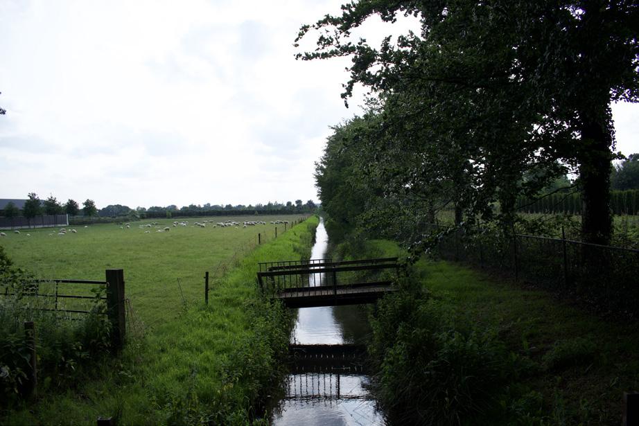
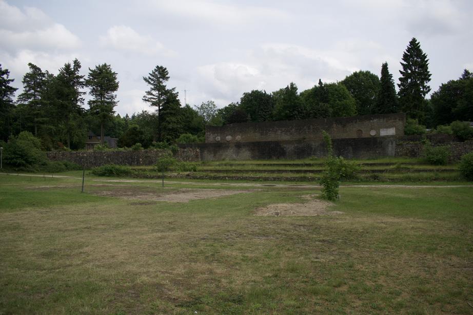
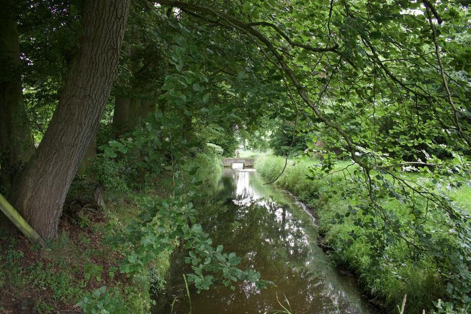
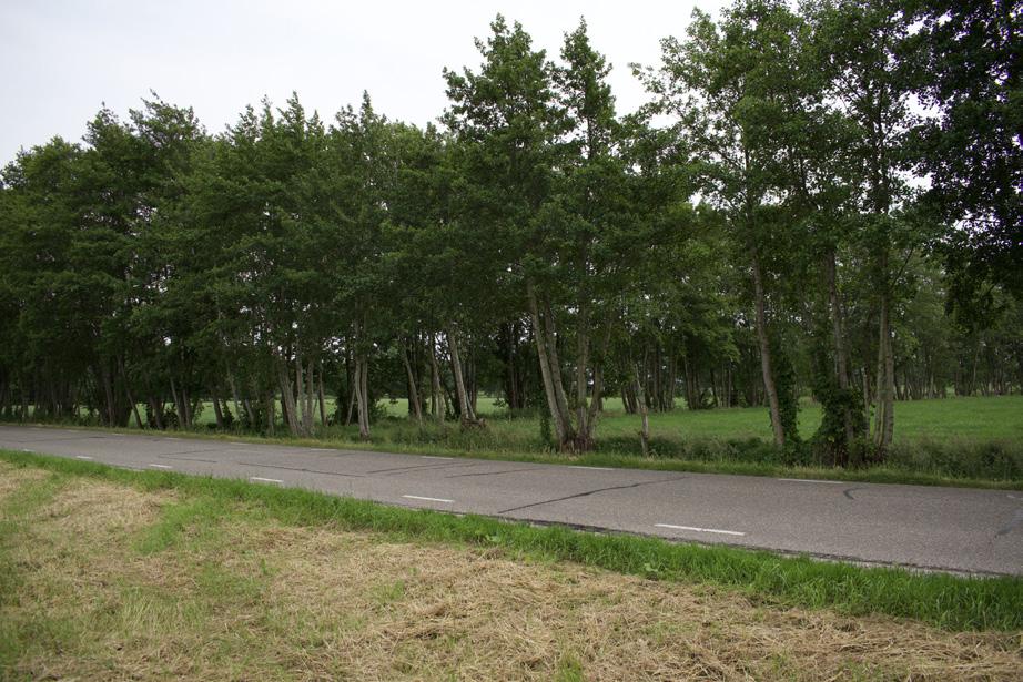
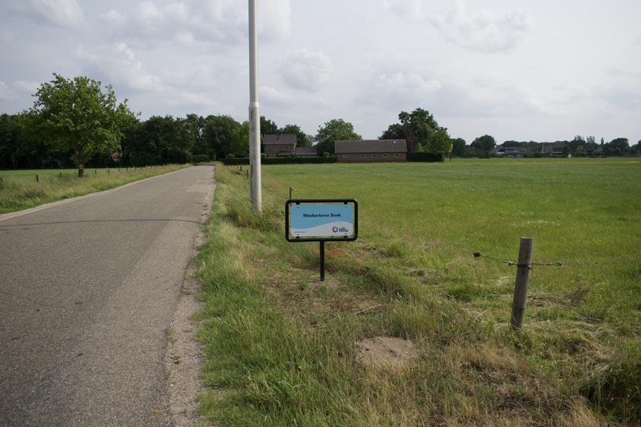
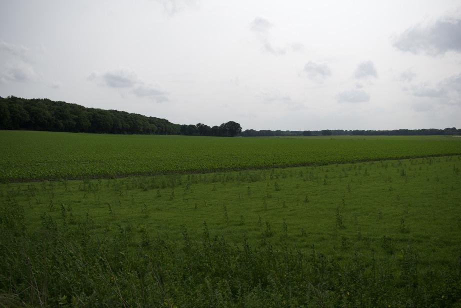
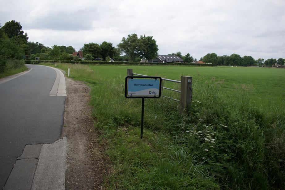
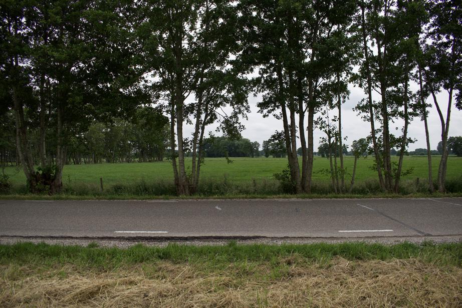
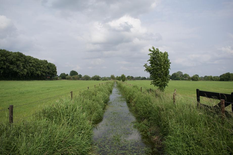
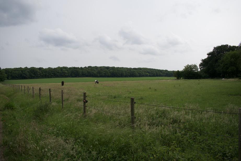
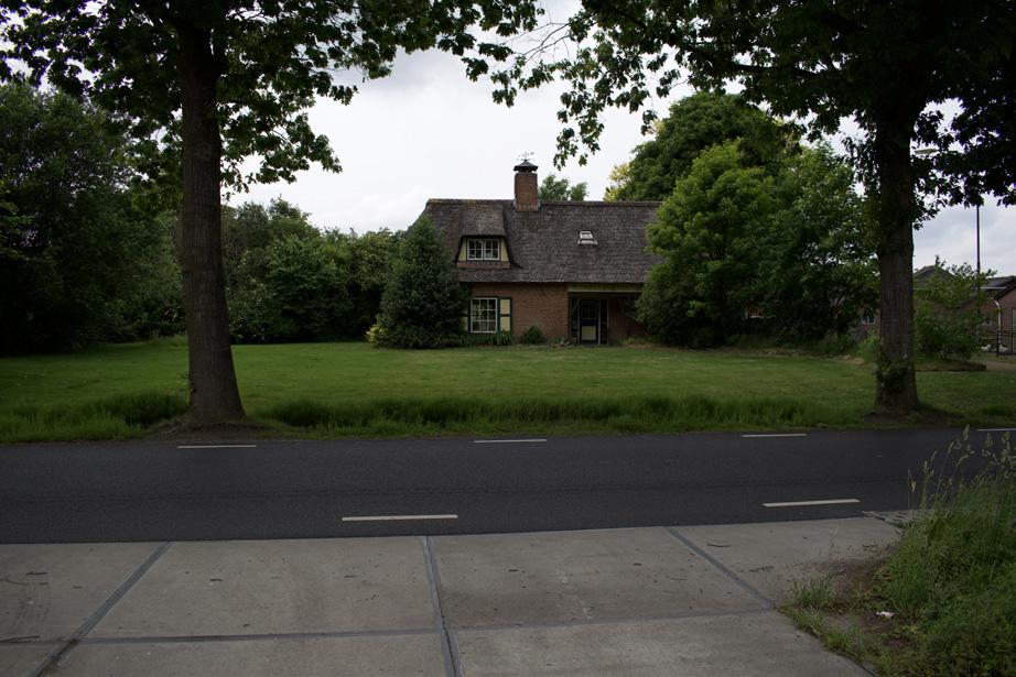
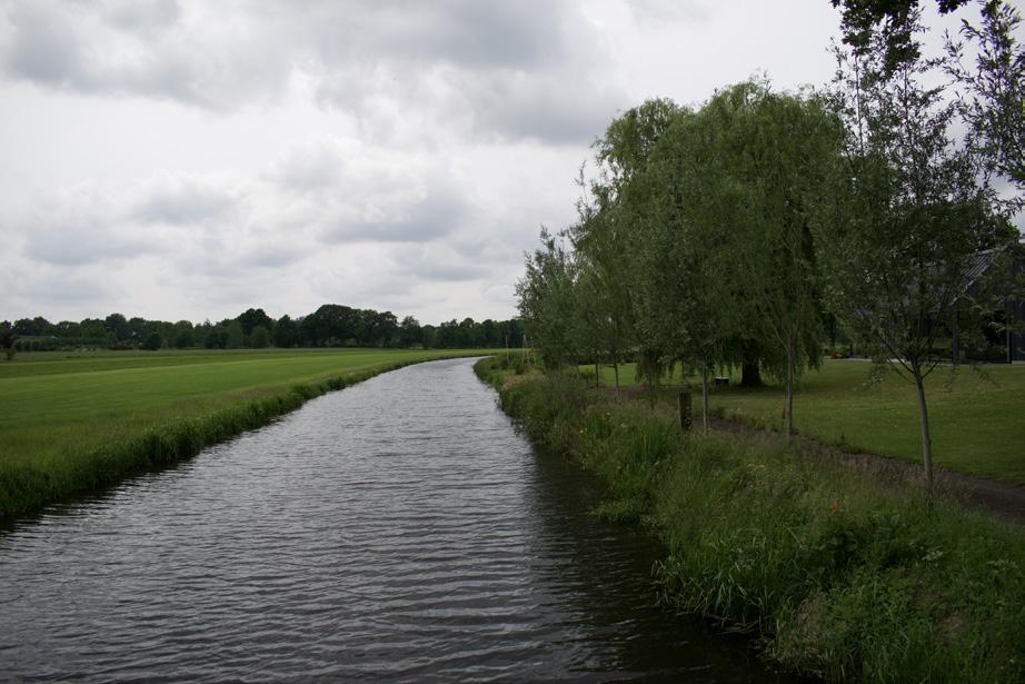
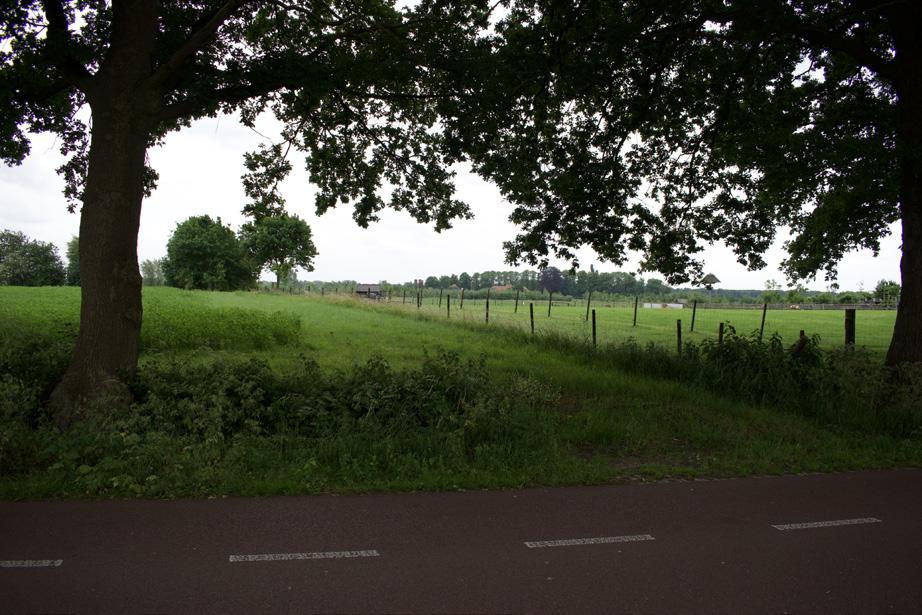
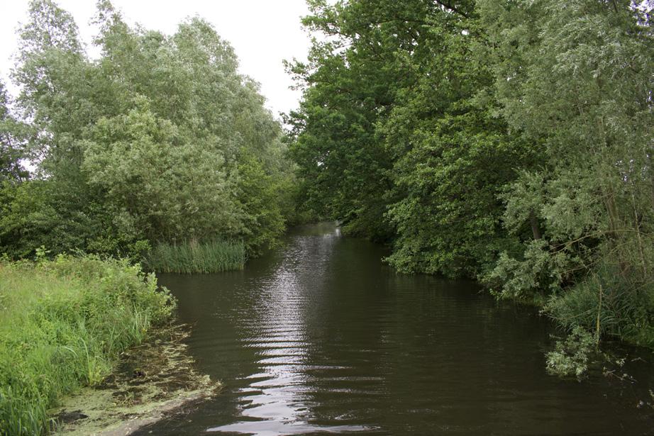
Photographic atlas of the Gelderse Vallei
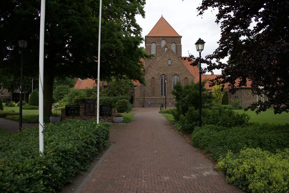
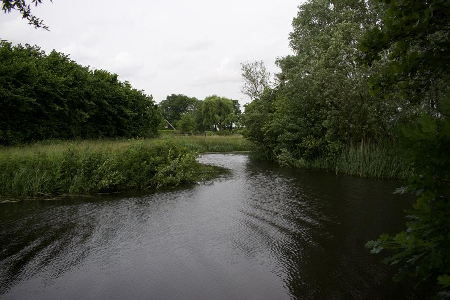
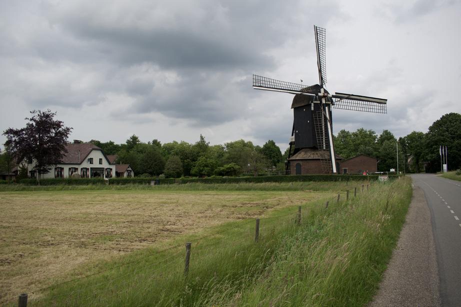
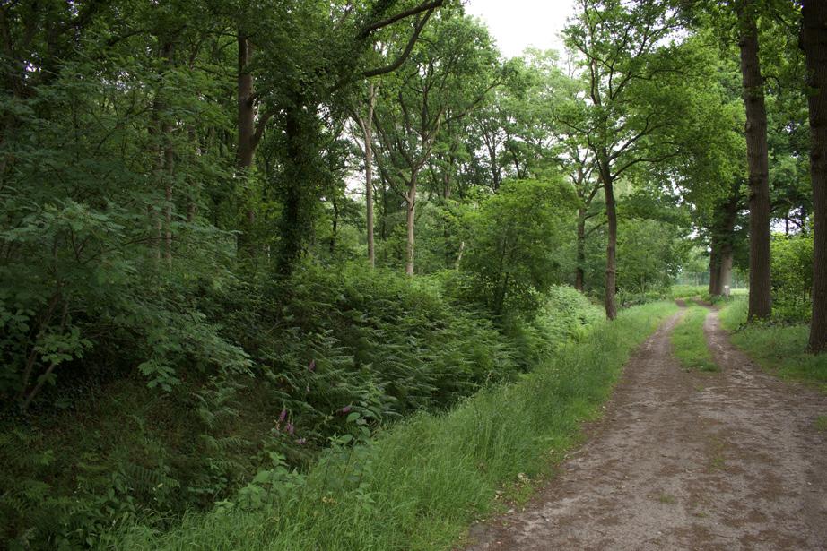
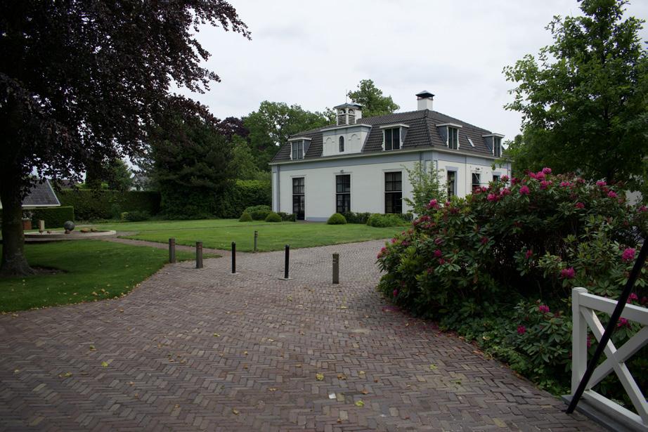
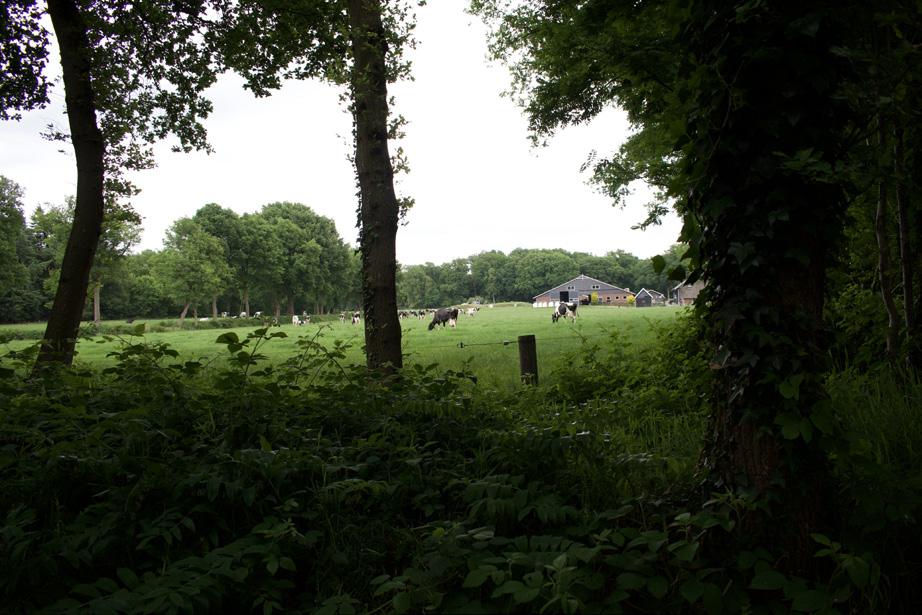
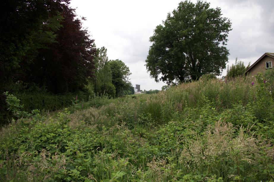
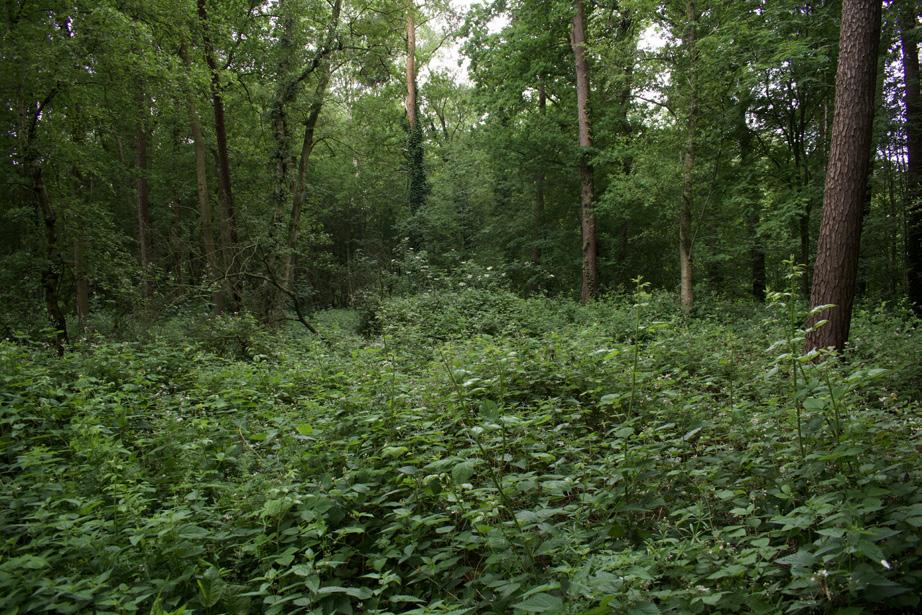
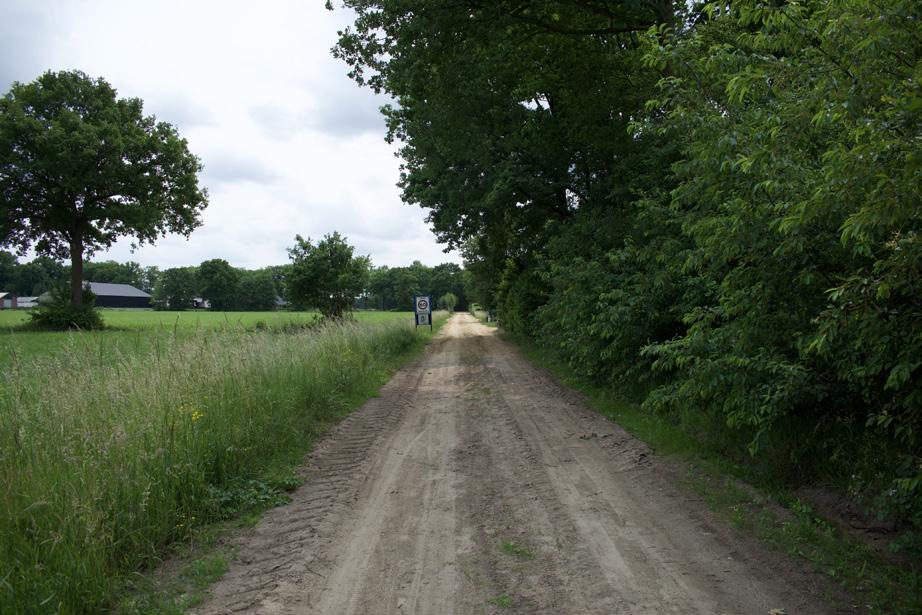
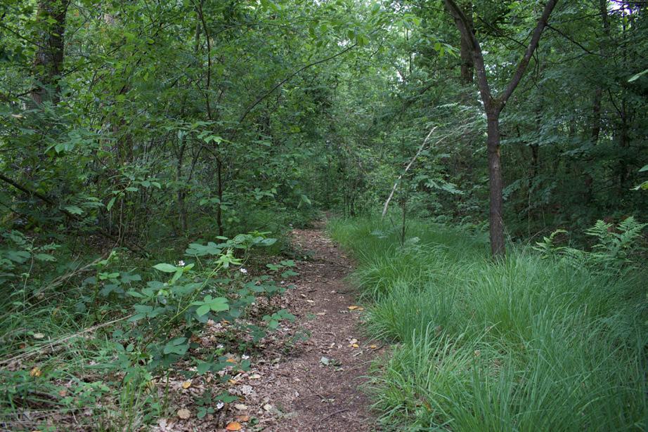
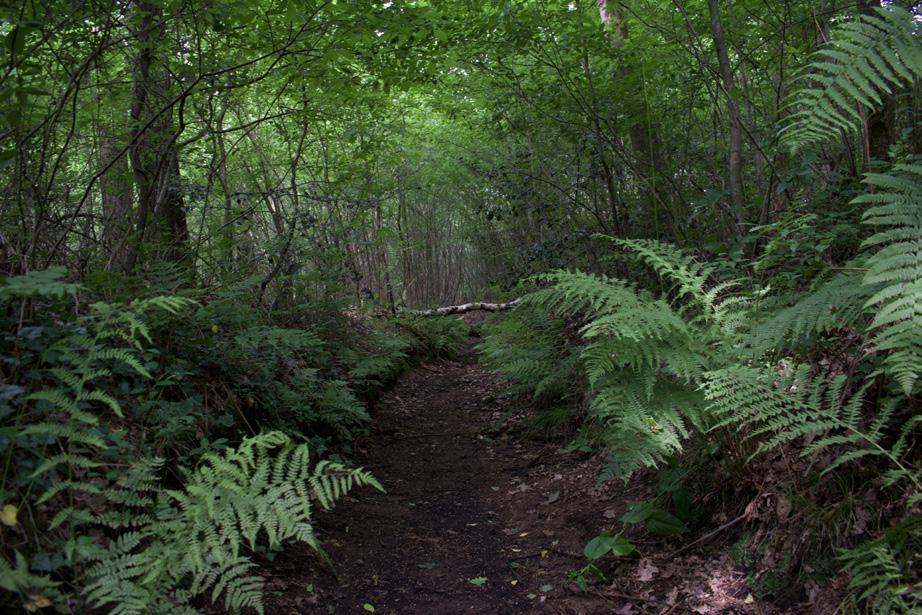
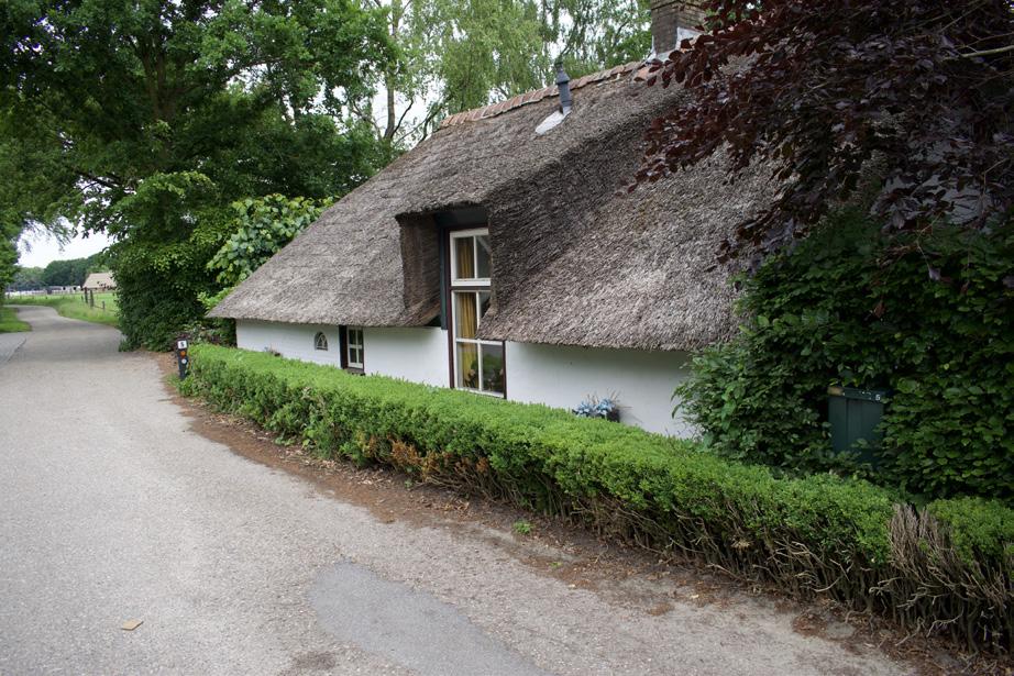
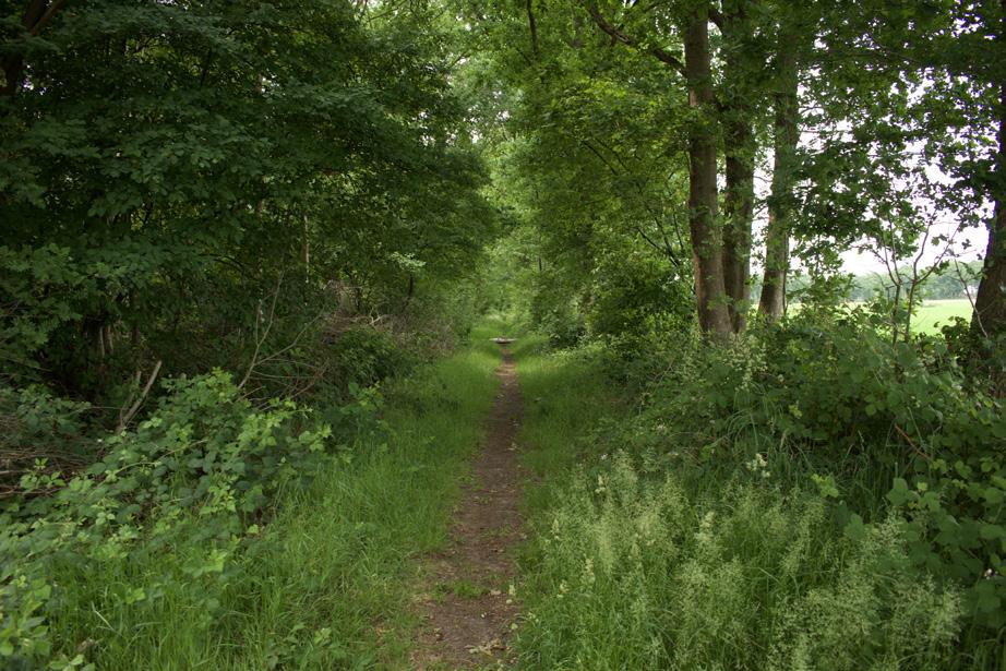
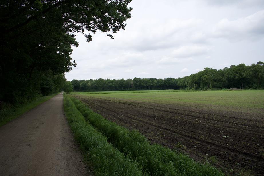

Photographic atlas of the Gelderse Vallei
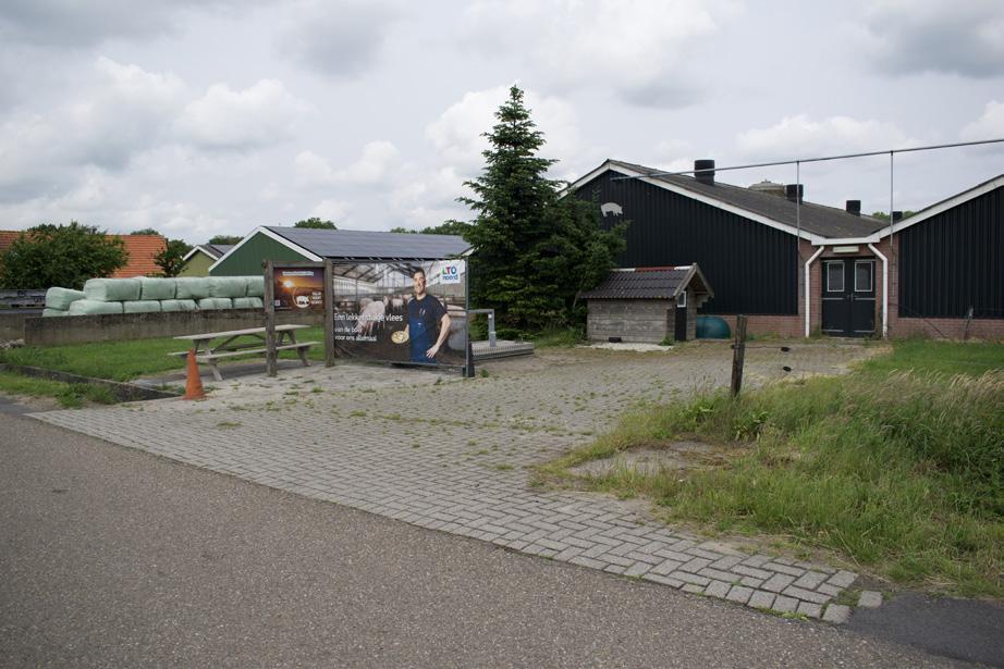
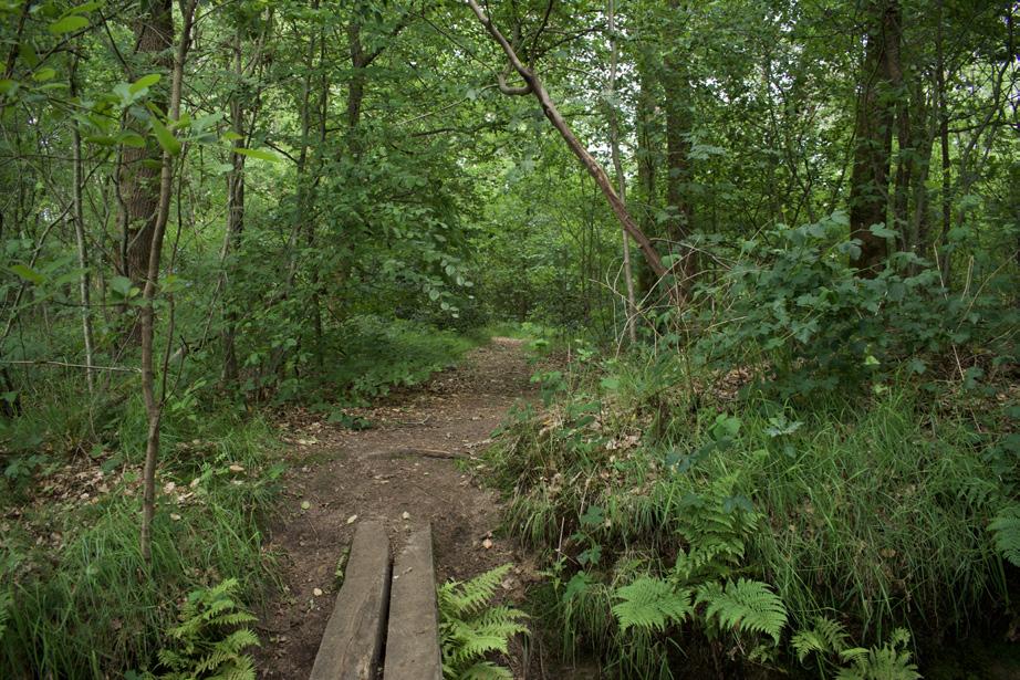
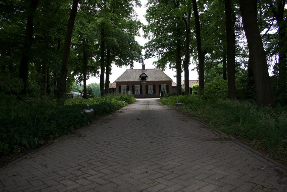
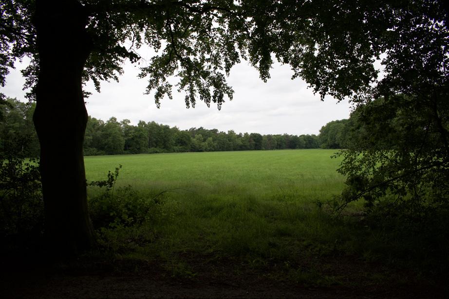
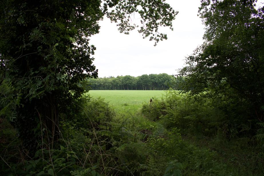
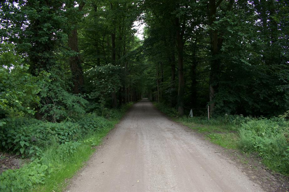
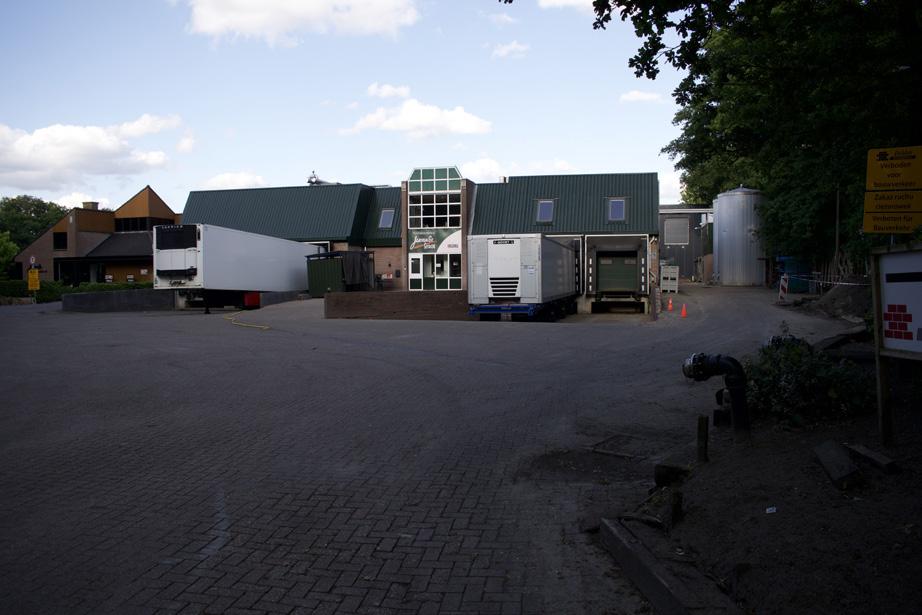
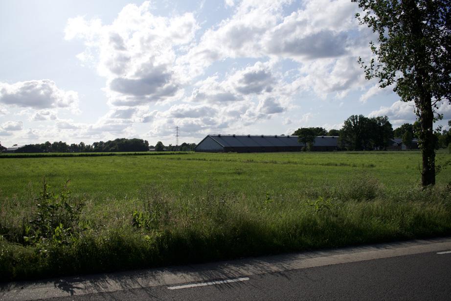
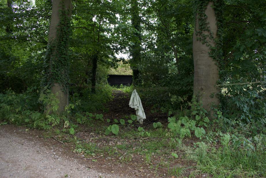
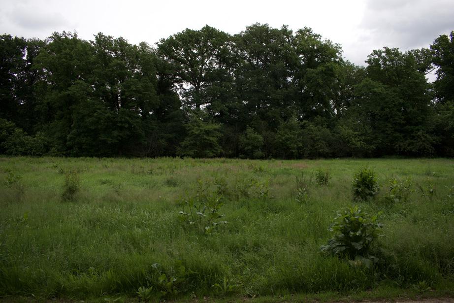
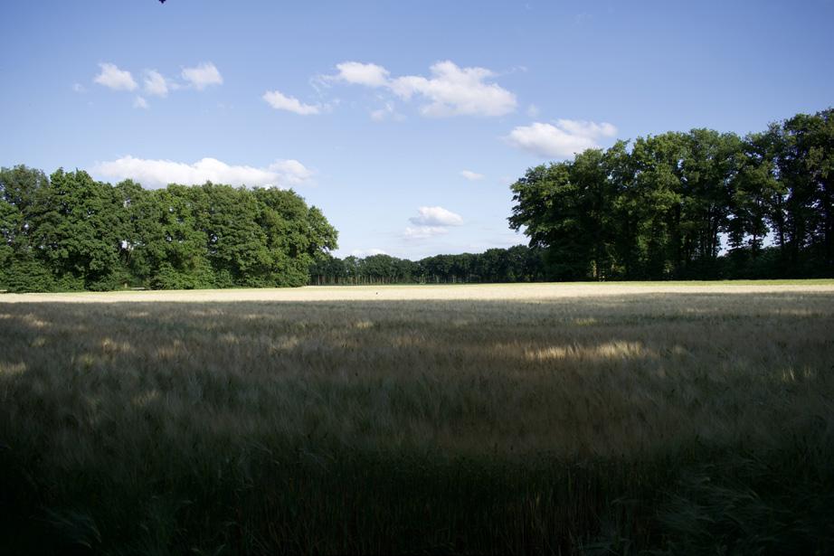
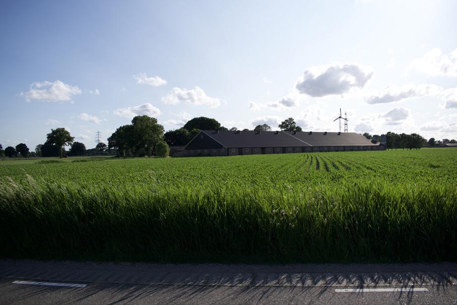
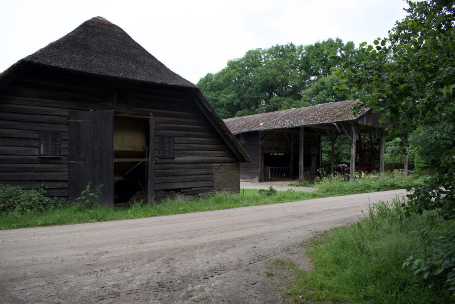
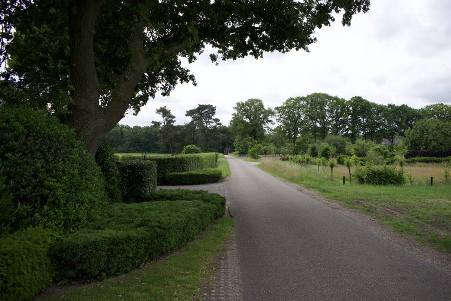
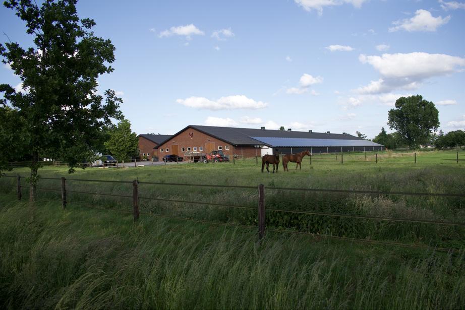
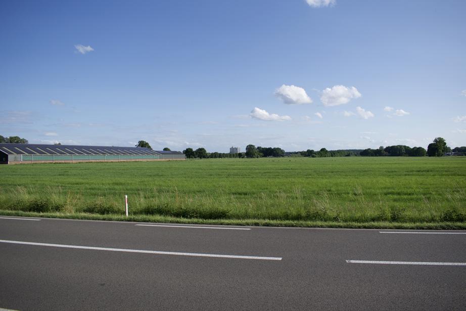
Photographic atlas of the Gelderse Vallei
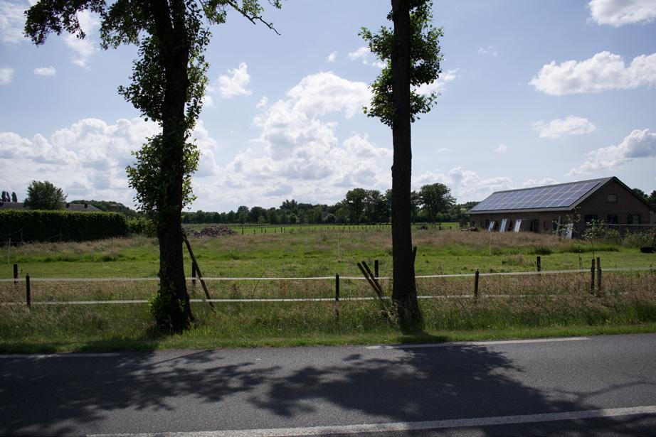
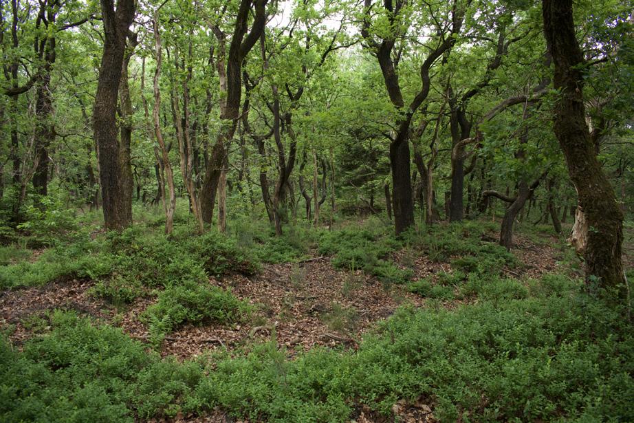
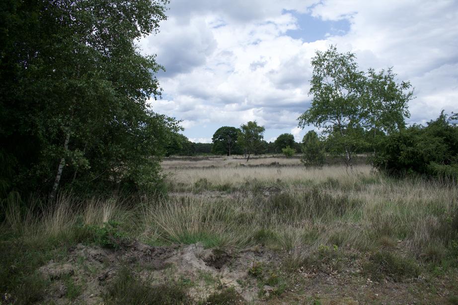
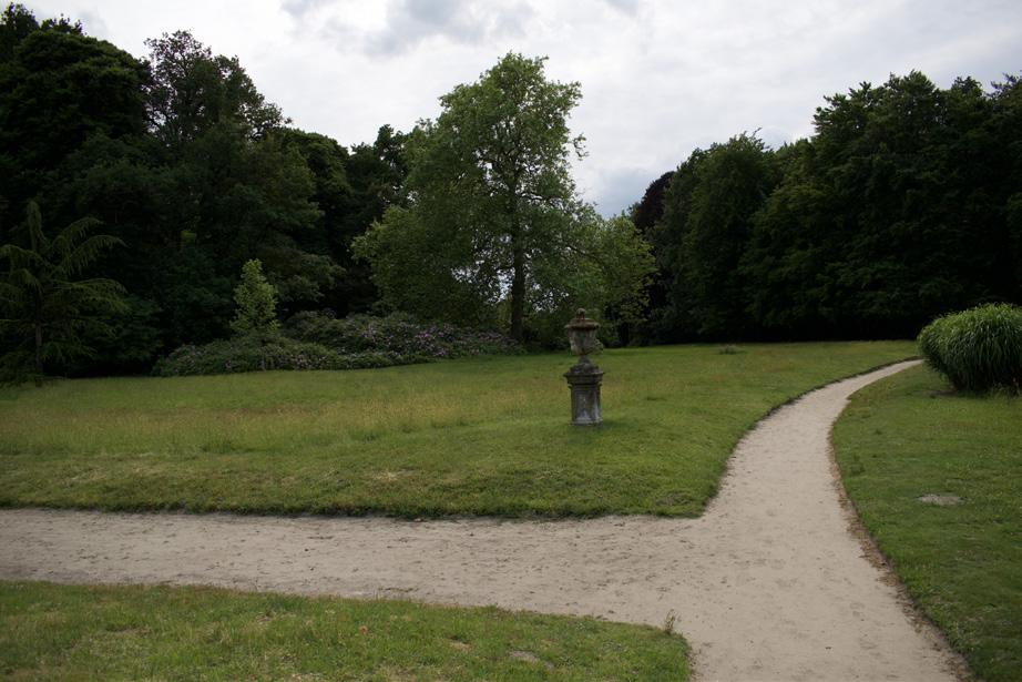
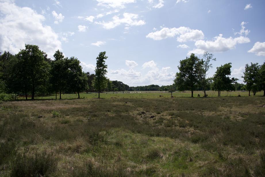
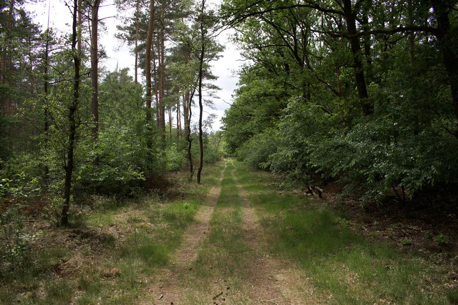
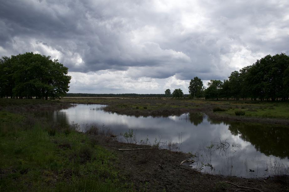
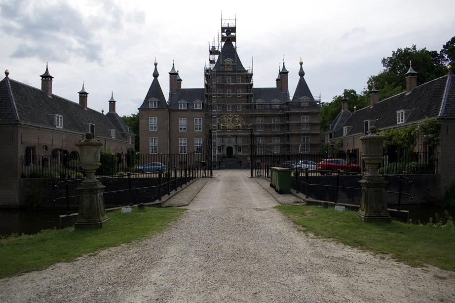
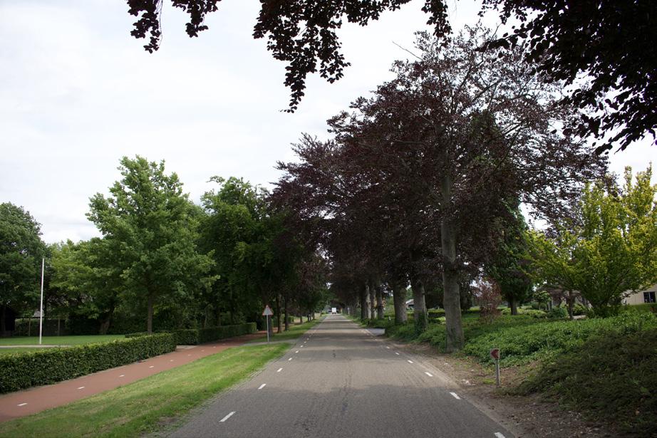
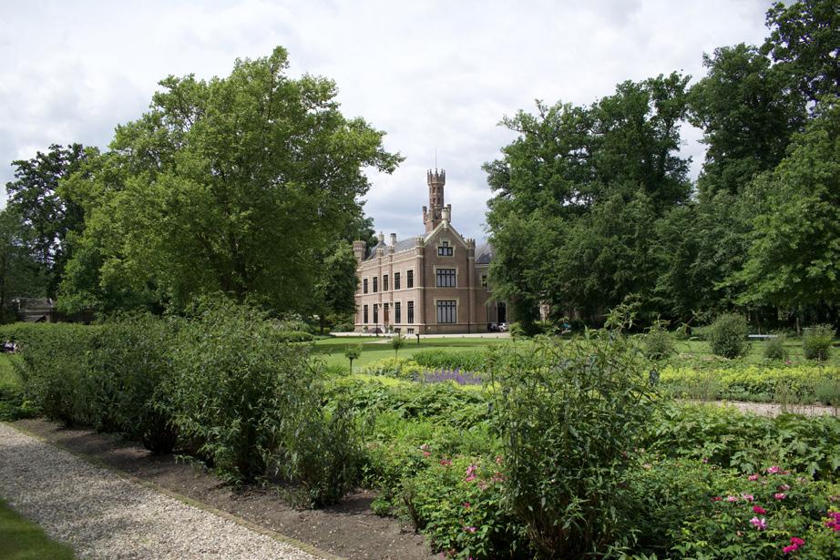
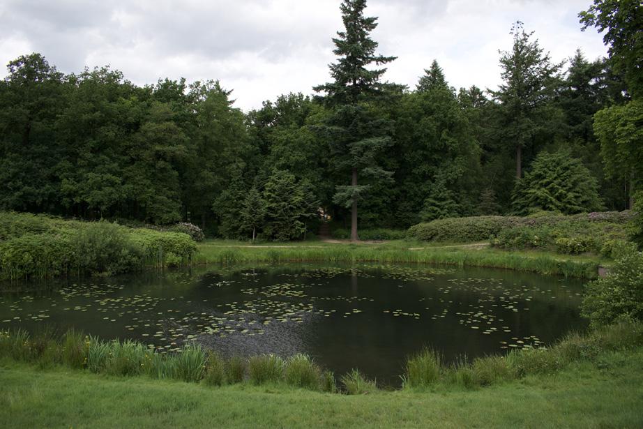
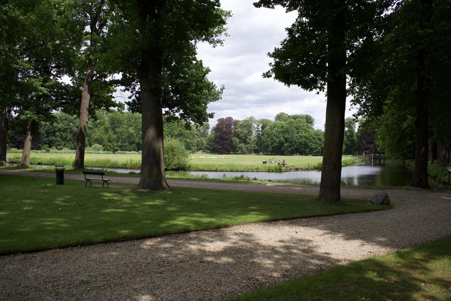
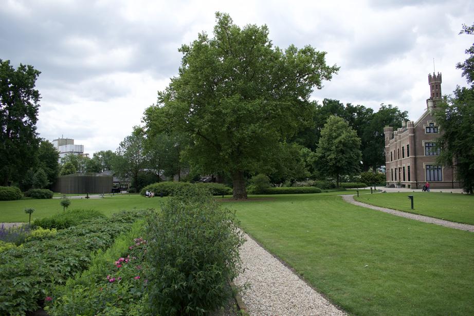
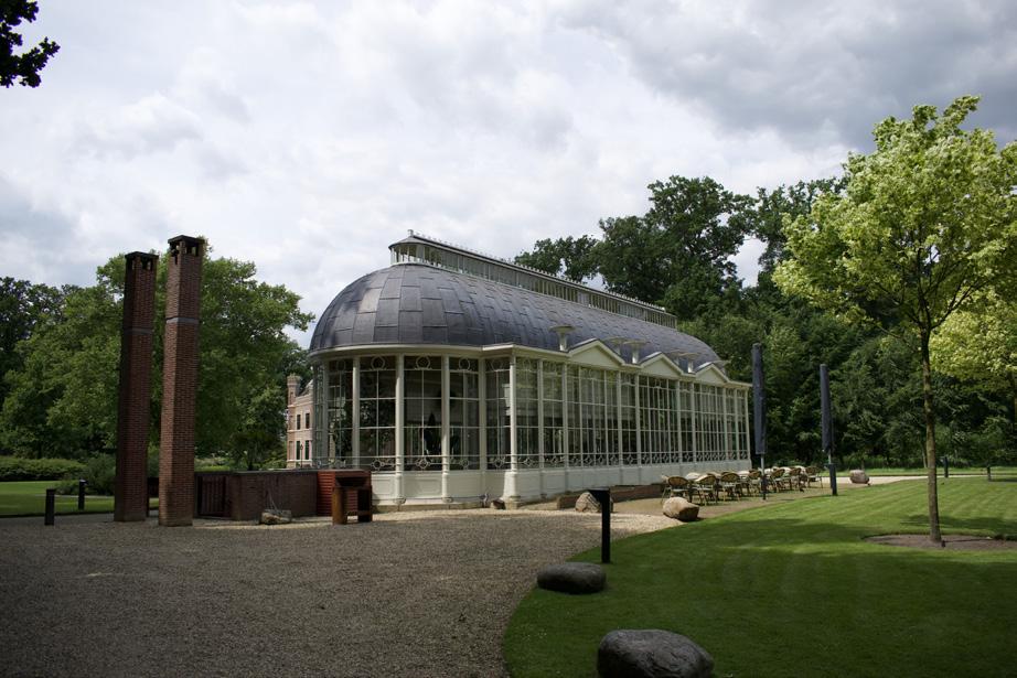
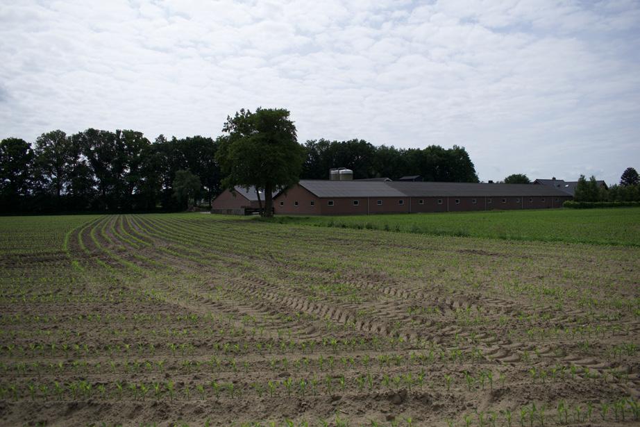
Photographic atlas of the Gelderse Vallei
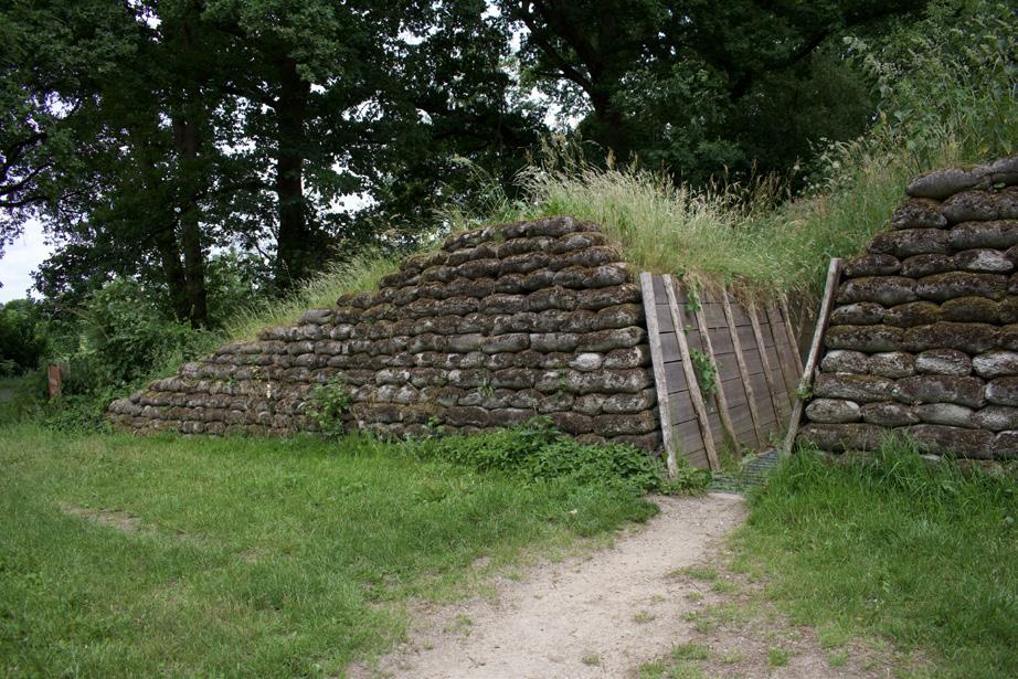
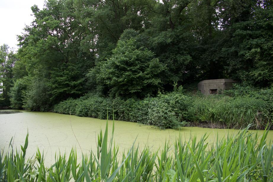
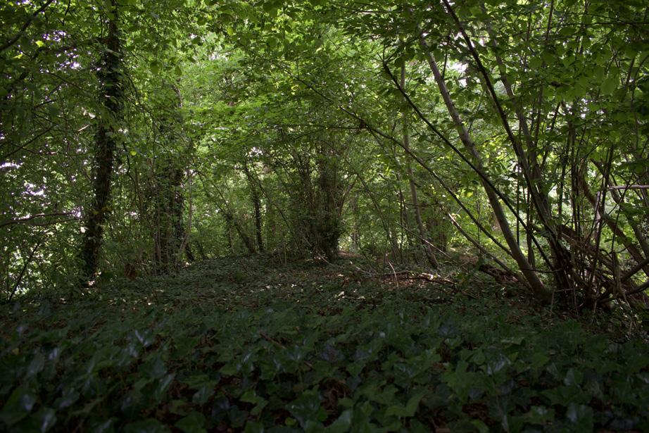
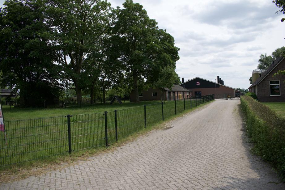
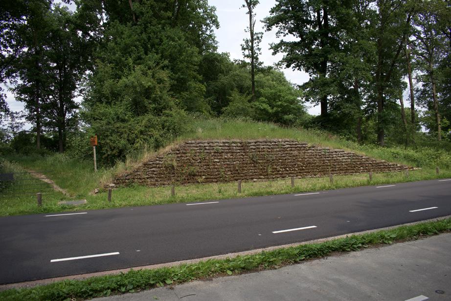
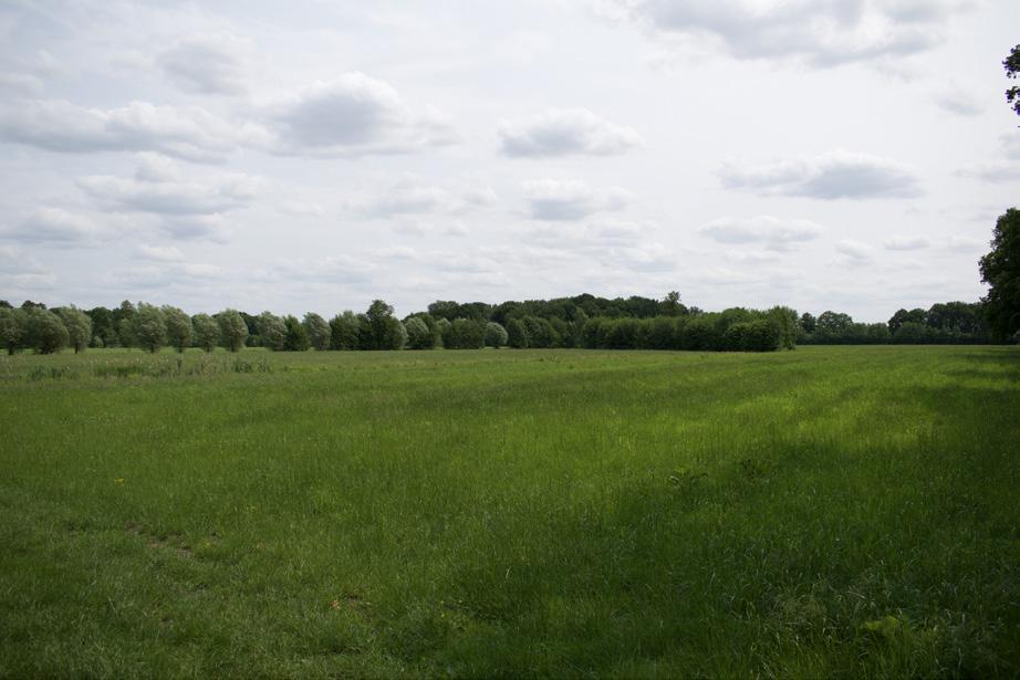
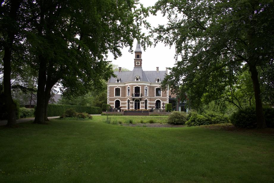
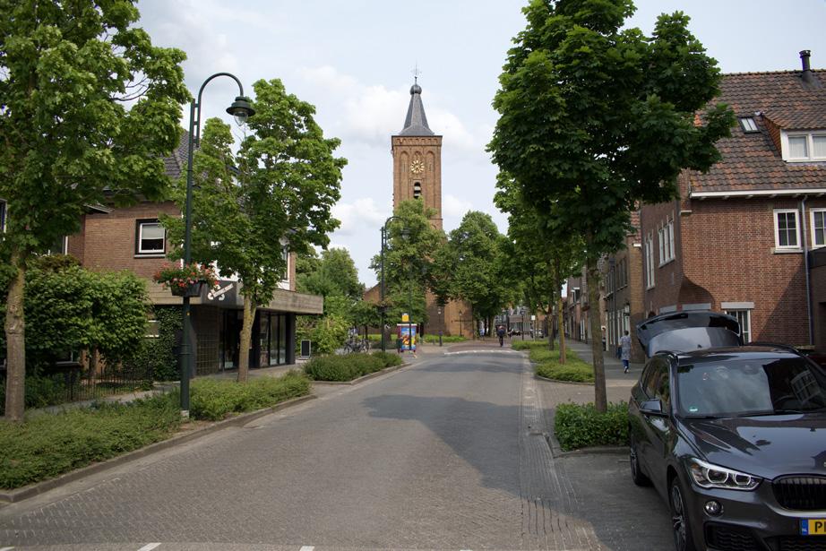
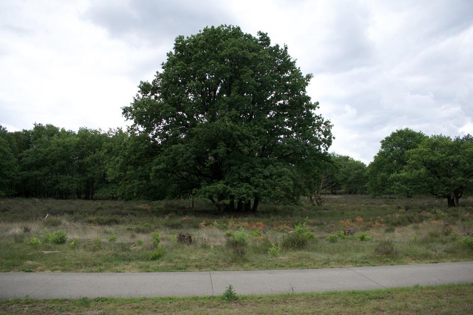
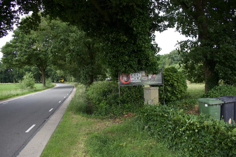
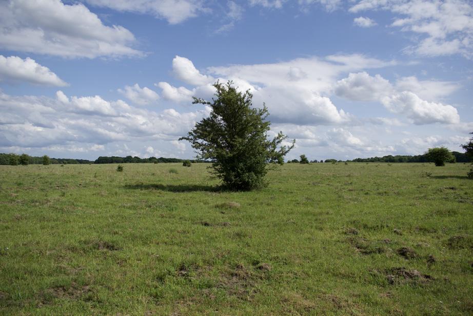
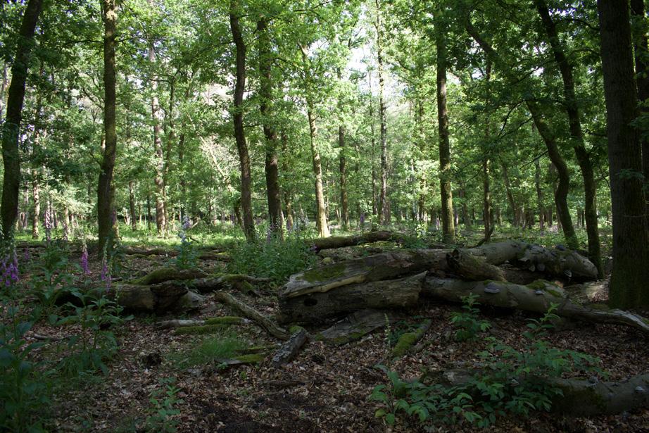
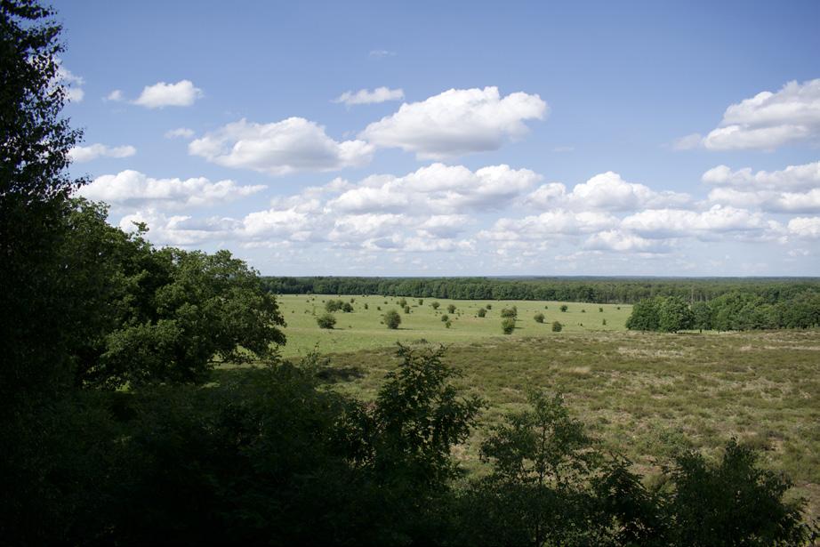
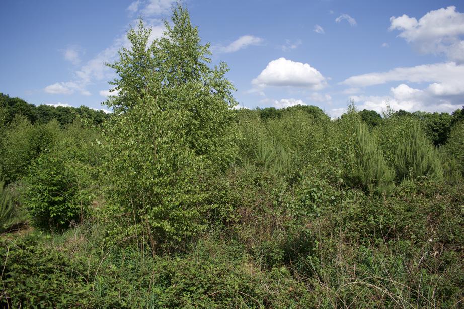
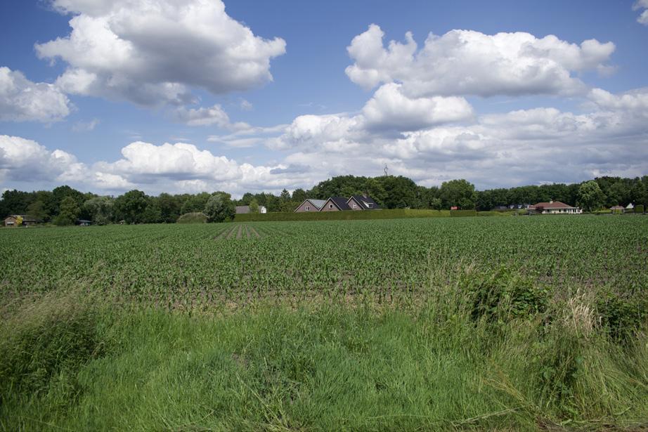
Charisma the
Charisma of the Godwit.
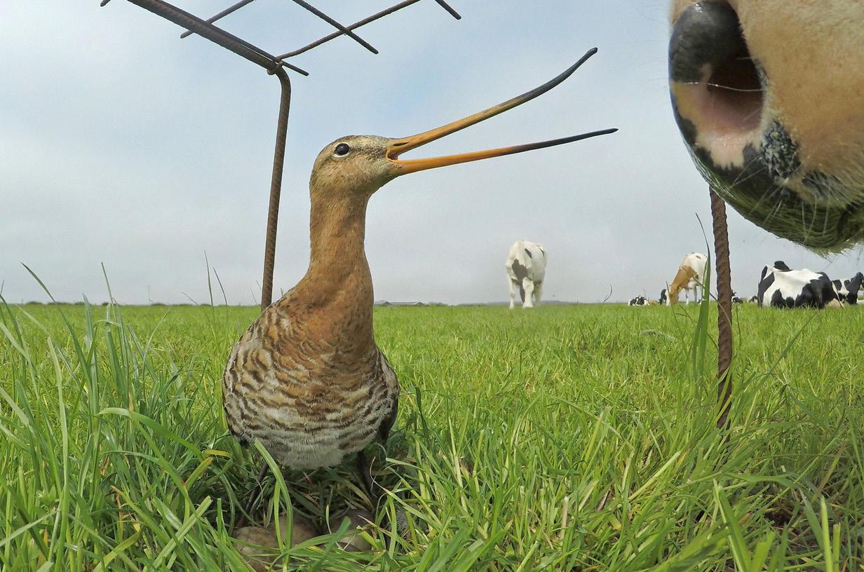
What does ‘giving back to nature’ mean within a cultural landscape?
O6 essay by Timo Banning Third-year student in Landscape architecture at the Academy of Architecture Amsterdam
Tutterd by: Arjen Oosterman
Charisma of the Godwit.
Charisma of the Godwit.
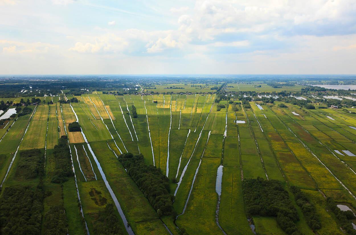
Table of Contents
Table of Contents
1. Charisma of the Godwit: The Illusion of ‘Wild Nature’ in a Cultural Landscape
1. Charisma of the Godwit: The Illusion of ‘Wild Nature’ in a Cultural Landscape
2. Concept of Nature
2. Concept of Nature
-Functional Concept of Nature
-Functional Concept of Nature
- Arcadian Concept of Nature
- Arcadian Concept of Nature
-Wilderness Concept of Nature
-Wilderness Concept of Nature
3. Giving Back to Nature: Letting Go of the Functional Landscape
3. Giving Back to Nature: Letting Go of the Functional Landscape
4. Reflection on the Arcadian landscape
4. Reflection on the Arcadian landscape
- The case of meadow bird management
- The case of meadow bird management
- Reflection on the Arcadian concept of nature
- Reflection on the Arcadian concept of nature
5. The Myth of Wild Nature in the Netherlands: Wilderness Concept of Nature
5. The Myth of Wild Nature in the Netherlands: Wilderness Concept of Nature
- The ARK Approach to a ‘Wilder’ Netherlands
- The ARK Approach to a ‘Wilder’ Netherlands
- Criticisms of the ARK Approach
- Criticisms of the ARK Approach
-Moving Towards a ‘Wilder’ Netherlands
-Moving Towards a ‘Wilder’ Netherlands
- Reflection on the Wilderness Concept of Nature
- Reflection on the Wilderness Concept of Nature
6. Conclusion 7. Notes
6. Conclusion 7. Notes
8. Bibliography
8. Bibliography
Charisma of the Godwit: The illusion of ‘wild nature’ in a cultural landscape
Amidst a herd of Holstein cows, in a soggy grassland thick with English ryegrass, I gaze towards a flat horizon, an endless view of level, green, water-drained, treeless land, framed by man-made ditches. The serene lowing of the cows is suddenly pierced by the sharp, rhythmic calls of birds overhead: “kew-ku-weeewee, kewku-weeewee, kew-ku-weeewee” (for the Dutch reader, “grutto, grutto, grutto”). A group of godwits lands gently among the cows, further into the field. My eyes follow them, and suddenly, from behind a tuft of grass, a pair of oystercatchers with their chicks appears. Above them, at the boundless horizon, a few Northern lapwings skim over the landscape in the distance. To many, this scene of meadow birds in a peatland meadow epitomizes the quintessential Dutch landscape—a blend of nature and culture that serves as a source of national pride.
This image is deeply embedded in Dutch culture and internationally recognized, as the Netherlands is praised for its meticulous planning, efficiency, and carefully managed cultural landscape.
In a country where wild nature has been entirely replaced by a meticulously designed cultural and production landscape, discussions about the importance of space for nature and ecology are increasing. This discussion not only challenges landscape-related issues but also increasingly appears on the political agenda. Nature policy within the cultural landscape has become polarizing, with urban and provincial residents often clashing over differing viewpoints and interests, leaving little room for mutual understanding in heated debates.
The phrase “we must give more space back to nature” is often heard in these discussions. As a master’s student in landscape architecture at the Academy of Architecture in Amsterdam and working as a landscape designer for the North district of the Amsterdam municipality, I deal daily with the opportunities for ecology within our urban environment. I frequently advocate for the importance of ecology in urban projects and design ecological interventions based on quick
scans and advice from ecologists, all to achieve the ambition of creating more space for nature within a human-altered world.
Lately, I find myself questioning what exactly we mean by the nature we are trying to ‘give back’ to. The native landscape and nature we use as a guideline no longer truly exist here. This landscape has been entirely shaped to meet human needs and functions. Does this mean that we are relating to the cultural landscape, or are we trying to move away from it?
The charisma of the godwit forms the starting point of my essay, where I explore what “giving back to nature” actually means within the cultural landscape. What does it mean when an iconic species like the godwit is central to our landscape management? And what are we doing or not doing for this? Are we genuinely engaged in preserving and enhancing nature, or are we merely cherishing an illusion of Dutch nature within a human-shaped landscape?
Charisma the Godwit.
Concept of Nature
From the moment humans began practicing agriculture, a profound evolution was set in motion. Initially, like other animals, we lived within nature, relying on natural ecosystems for our sustenance. However, with the advent of agriculture, we began to shape nature to our will. The start of agriculture marks the beginning of the cultural landscape and the process by which nature was transformed from wilderness into a manageable landscape. In the presentday Netherlands, untouched, wild nature no longer exists; we live in a cultural landscape where we, as managers of the Dutch landscape, have assumed the right to influence nature and shape flora and fauna according to our desires. All land, and even water in the Netherlands, is managed, adapted, and shaped by humans to some extent.
In recent decades, humanity has increasingly recognized that human activities negatively impact the other species with whom we share our planet. Martin Drenthen, in his book Hek over
of
de ethiek van de grens tussen het boerenland en natuurgebied, writes:“Only a few decades ago, people assessed nature primarily based on its utility for humans. Nowadays, most people acknowledge that nature also has intrinsic value.28 In the Netherlands, the intrinsic value of nature is even legally enshrined in the Nature Conservation Act of 2017”1 (Drenthen, 2021, p. 31).
Furthermore, Drenthen describes an ethical dilemma wherein the protection of fauna in human habitats conflicts with anthropocentric ethics that prioritize production and human needs, versus zoocentrism, which focuses on the needs of individual animals. Zoocentrism is embedded in target species policies, a form of nature management where a habitat is managed by humans to meet the needs of a desired target species.
Despite the political and ethical complexities of choices in nature management, different ‘concepts of nature’ can be clearly distinguished. These concepts can be categorized into three main directions: the Functional, the Arcadian, and the Wilderness concepts of nature. These perspectives help in understanding the various ethical and moral viewpoints in the debate on nature management and agriculture. Below is a description of each concept, similar to how Drenthen presents them in his work.
Functional Concept of Nature:
Characteristics: This perspective views nature primarily in terms of its utility for humans. Nature is seen as a source of raw materials and space for economic activities such as agriculture and forestry.
Ethics: The ethical approach here is utilitarian, where nature has value to the extent that it contributes to human well-being and economic goals. The emphasis is on the efficient and sustainable use of natural resources to fulfill human needs.
Example: Large-scale agricultural enterprises that utilize technological innovations to maximize yield illustrate the functional concept of nature. The landscape is optimized for production, often at the expense of natural diversity.
Arcadian Concept of Nature:
Characteristics: This perspective idealizes nature as an environment where humans and nature coexist in balance. The Arcadian view emphasizes the aesthetic and recreational aspects of nature.
Ethics: From an Arcadian ethical standpoint, it is important to protect and preserve nature for its beauty and its role in human culture and well-being. This perspective values traditional farming practices that harmonize with nature. Example: Small-scale, traditional farms that use sustainable farming methods and contribute to the preservation of the landscape and biodiversity fit the Arcadian concept of nature.
Concept of Nature
Wilderness Concept of Nature:
Characteristics: This perspective sees nature as a wild and untamed force that should exist independently of human influence. The wilderness view emphasizes the intrinsic value of nature that remains untouched by human activities.
Ethics: The ethics of the wilderness concept is ecocentric, focusing on the preservation of pristine ecosystems and the intrinsic value of nature. Human intervention should be minimized to allow natural processes to take their course. Example: National parks and nature reserves where human activities are strictly regulated to preserve wilderness and natural dynamics illustrate the wilderness concept of nature.
Giving Back to Nature: Letting Go of the Functional Landscape
“Nowadays, most people acknowledge that nature also has intrinsic value.28”1 (Drenthen, 2021, p. 31). This shift marks a departure from the functional view of nature, which primarily regards nature as a means to achieve human goals, towards an appreciation for valuable ecosystems that promote biodiversity and ecological resilience.
Charisma of the Godwit.
The functional view of nature has long dominated Dutch nature management, with an emphasis on efficiency and utility (Drenthen, 2021). Nature was seen as a resource for agriculture, timber production, and recreation. However, there is a growing recognition that nature is more than a means for human exploitation. Matthijs Schouten, in “Het Andere en het Eigene,” emphasizes that nature and culture are inextricably linked and that an integrated approach is needed for sustainable ecosystems (Schouten, 2022). He advocates for viewing nature as an intrinsically valuable entity.
This change is evident in Dutch initiatives and policies. There is an increasing focus on green infrastructures such as ecological corridors and urban parks that promote biodiversity while providing functional benefits for human communities. These projects reflect a shift towards the Arcadian and wilderness views of nature, in which nature is valued for its intrinsic beauty and untamed character (Drenthen, 2021).
The shift towards a broader appreciation for valuable ecosystems marks an important development in the Dutch cultural landscape. Integrated nature management practices that promote biodiversity and ecological resilience are becoming increasingly important. Landscape architects play a crucial role in this transition by creating designs that respect and enhance the intrinsic value of nature.
The functional landscape cannot persist in a future where the value of nature is recognized and protected. Integrated approaches that benefit both humans and nature are essential. In the future, the human landscape must be intertwined with the natural landscape; a strict separation of the two is not a sustainable solution in a world where humans increasingly encroach on natural spaces.
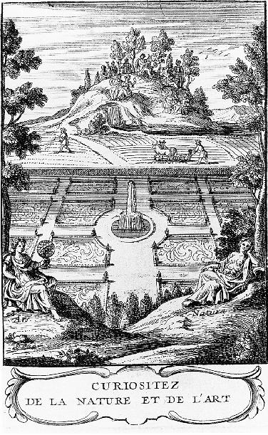
Curiositez de la Nature et de l’Art (1705)
by Abbé Pierre Le Lorrain de Vallemont
This illustration showcases the garden as a third nature, highlighting the strong distinctions between Vallemont’s three visions of nature: the agricultural/production landscape, the garden, and the wilderness. It reflects the classical distinctions and the separation between human-influenced and wild natural landscapes, which lie at the core of the functional landscape vision.
Reflection on the Arcadian landscape
The Arcadian concept of nature, which views nature as an idyllic and pastoral place, plays a prominent role in Dutch meadow bird management. Iconic species like the national bird, the godwit, hold a central place in this view. However, the way these landscapes are managed and maintained raises critical questions about the ecological and ethical aspects of this concept.
Historically, the Netherlands has transformed large parts of its natural landscape into productive agricultural lands. This transformation has led to habitats that depend on human maintenance to exist in their current form (Drenthen, 2021). Meadow birds, such as the godwit, exemplify this. Originally nesting in diverse habitats like heathlands, sand dunes, and peat bogs, these birds have been forced to adapt to the increasingly homogenized landscape of agricultural fields and pastures (Natuur, D. L.). This reflects the Arcadian view, which aims for a controlled and managed landscape that exudes natural beauty and serenity.
Our tendency towards nature amnesia has led us to believe that the unnatural increase of meadow birds in the 1960s, due to the largescale expansion of agricultural land, represents a desirable and stable ecosystem that should be preserved as part of the Dutch landscape. However, this overlooks the underlying instability and artificiality of this ecosystem. By labeling these landscapes as nature, we cling to something we call nature, which in reality is not natural.
Reflection on the Arcadian landscape
The case of meadow bird management
The godwit, as one of the most charismatic species, has become a central icon in the Dutch cultural landscape and in discussions about meadow bird management. Originally, the godwit was an inhabitant of open sedge marshes and raised bogs, where it bred in lower densities than in agricultural grasslands (De Rijk & Vrije Universiteit Amsterdam, 2015). With the development of agricultural grasslands after World War II, the number of godwits increased significantly, a phenomenon only later recognized as unusually high compared to historical levels (“Waar Is de Grutto?”, 2021).
The hypothesis that meadow birds were present in lower densities in the nineteenth century than after 1950 was confirmed by Jan Hendrik de Rijk, who demonstrated that the current numbers of meadow birds like the godwit are a relatively modern phenomenon (De Rijk & Vrije Universiteit Amsterdam, 2015). This is further underscored by the shifting baseline syndrome, which, according to fishery experts Jeremy Jackson and Jennifer Jacquet, leads to ‘the arrogance of the present.’ This causes us to focus on a nature stripped of its historical and natural context (“Waar Is de Grutto?”, 2021).
The “Handboek natuurdoeltypen” provides insight into how specific nature goals are defined and pursued within Dutch nature management. It states that the suitability of a specific habitat is less important than the selection criteria of the target species (Bal et al., 2001). Although this seems logical from a species-oriented approach, it also introduces a problem: in a cultural landscape, we often work against natural succession to maintain a specific landscape type and its associated species (De Jong et al., 2007).
By keeping these landscapes in a constant state, natural dynamics within the landscape are limited. This can prevent the emergence of new species and reduce the ecological resilience of the area. Moreover, an excessive focus on preserving certain species can lead to ecologically and ethically questionable practices,
such as hunting predators that pose a threat to young meadow birds.
Recently, the Algemene Rekenkamer reached a devastating conclusion about investments in meadow bird management. Despite significant investments in the protection of meadow birds, their numbers continue to decline. As sharply stated in the Algemene Rekenkamer’s 2021 report, “Where is the godwit?”, subsidies increased from €4.2 million in 2001 to €33.4 million in 2020, while the number of breeding pairs of godwits declined from 60,000 to 30,000. The report also notes that farmers do not implement the most effective measures because they conflict with land use. Investments in meadow bird management are among the highest in Dutch nature conservation. Yet, these financial investments do not seem to result in proportional improvements in habitat. (Waar is de grutto? 2021)
Reflection on the Arcadian concept of nature
The current approach to meadow bird management reflects a deeply rooted Arcadian concept of nature that values the preservation of a specific, human-created landscape form. While a target species policy can be effective in preserving rare or vulnerable species, it raises ethical questions about the extent to which we should manipulate nature at the expense of other life forms. Moreover, the Arcadian landscape is closely tied to the idea of a manageable nature, where a harmonious coexistence between humans and nature exists, but under human terms and for human benefit.
The case of meadow bird management shows that this approach often conflicts with the needs of non-human species. As a result, the most effective measures are usually not taken because they clash with agricultural productivity and land use. The Arcadian landscape can only function as an invaluable ecosystem if the priorities of nature are considered as important as human land use. In such a landscape, agricultural productivity and nature conservation should not be conflicting interests but integrated as part of the natural ecosystem.
The Myth of Wild Nature in the Netherlands:
Wilderness Concept of Nature
In recent decades, there has been much discussion about reintroducing animal species and managing nature reserves in the Netherlands. This process is often presented as a way to restore wild nature, but the reality is more complex. The challenge lies in the subjective definition of wild nature. The absence of a clear definition of wild and wilderness within a cultural landscape leads to varying interpretations. One established rewilding organization in the Netherlands is ARK Rewilding Nederland, a group dedicated to creating a wilder Netherlands.
The ARK Approach to a ‘Wilder’ Netherlands
ARK Rewilding Nederland focuses on developing extensive, robust, and dynamic nature areas where natural processes can proceed without significant human interference. This approach, known as rewilding, aims to restore natural ecosystems by minimizing human influences and reinstating processes such as grazing, water cycles, and the presence of predators. The goal is to foster a wealth of flora and fauna, thereby increasing both biodiversity and ecological resilience (ARK Rewilding Nederland, n.d.-b).
ARK’s vision of a wilder Netherlands is based on the idea that more and wilder nature not only promotes ecological health but also contributes to climate adaptation, water management, and human livability. ARK has achieved various successes
In addition, ARK is active in education and participation. They offer field lessons and internships to involve people in nature development and rewilding, which helps raise awareness and garner support for nature conservation and restoration (ARK Rewilding Nederland, n.d.-b).
Criticisms of the ARK Approach
While ARK’s approach has achieved significant successes, it is not without criticism. A major point of critique is that their vision of rewilding is still heavily driven by human intervention. This manageable idea of wildness suggests that even wilderness areas remain under human control and management.
ARK’s strategies, such as introducing certain species and actively managing nature areas, can be seen as contradictory to the principle of true wilderness, where nature should proceed without human interference. This raises the question of how wild these areas truly are, given that they continue to depend on human decisions and interventions to function.
Charisma of the Godwit.
in regions such as the Veluwe, the Gelderse Poort, and the North Sea, where they have helped restore and expand nature areas. These projects have led to increased biodiversity and the creation of new habitats for endangered species (ARK Rewilding Nederland, n.d.-a).
Additionally, the sustainability of this approach in the long term can be questioned. The ongoing management and need for funding and human involvement make these nature areas vulnerable to changes in political and economic circumstances. True wilderness should be resilient enough to survive without constant human support.
The Myth of Wild Nature in the Netherlands:
Wilderness Concept of Nature
Moving Towards a ‘Wilder’ Netherlands In academic literature, there is extensive reflection on the concept of rewilding and its meaning in the context of the Dutch cultural landscape.
The book “Gewilde Dieren” provides a detailed overview of various reintroduction projects in the Netherlands, such as those of the beaver, stork, and raven (Zekhuis, van Oort, & Hoogenstein, 2021). While these projects are often presented as successes, a deeper analysis raises questions about their ecological and ethical implications. The reintroductions rely on intensive human management, making it difficult to label them as ‘wild’.
Emma Marris (2011) argues that the idea of pristine nature without human influence is an outdated concept. In the Netherlands, a country almost entirely influenced by human activity, there is little room for true wildness. Marris advocates for a new approach that acknowledges the intertwining of nature and culture, challenging the traditional view of wild nature.
Martin Drenthen (2017), in “Het Hek,” discusses the ethical dilemmas surrounding nature management and reintroduction. He argues that the measures necessary to reintroduce certain species, such as fencing and landscape modifications, fundamentally alter nature.
Marc Argeloo (2019) introduces the concept of forgotten nature in “Natuuramnesie.” Many reintroduction projects are based on a nostalgic desire for a past that no longer exists. This raises questions about the legitimacy of these projects and whether they truly contribute to ecological resilience and biodiversity or if they hold more symbolic value.
Jessica den Outer (2020) addresses the legal aspects of nature management in “Rechten voor de natuur.” She advocates for a paradigm shift in which nature rights are recognized. This would represent a fundamental change in how we approach nature management and reintroductions. Instead of managing nature for human benefit, this approach would recognize the intrinsic value of nature and its inhabitants, potentially leading to a more ethical and sustainable approach to reintroduction projects.
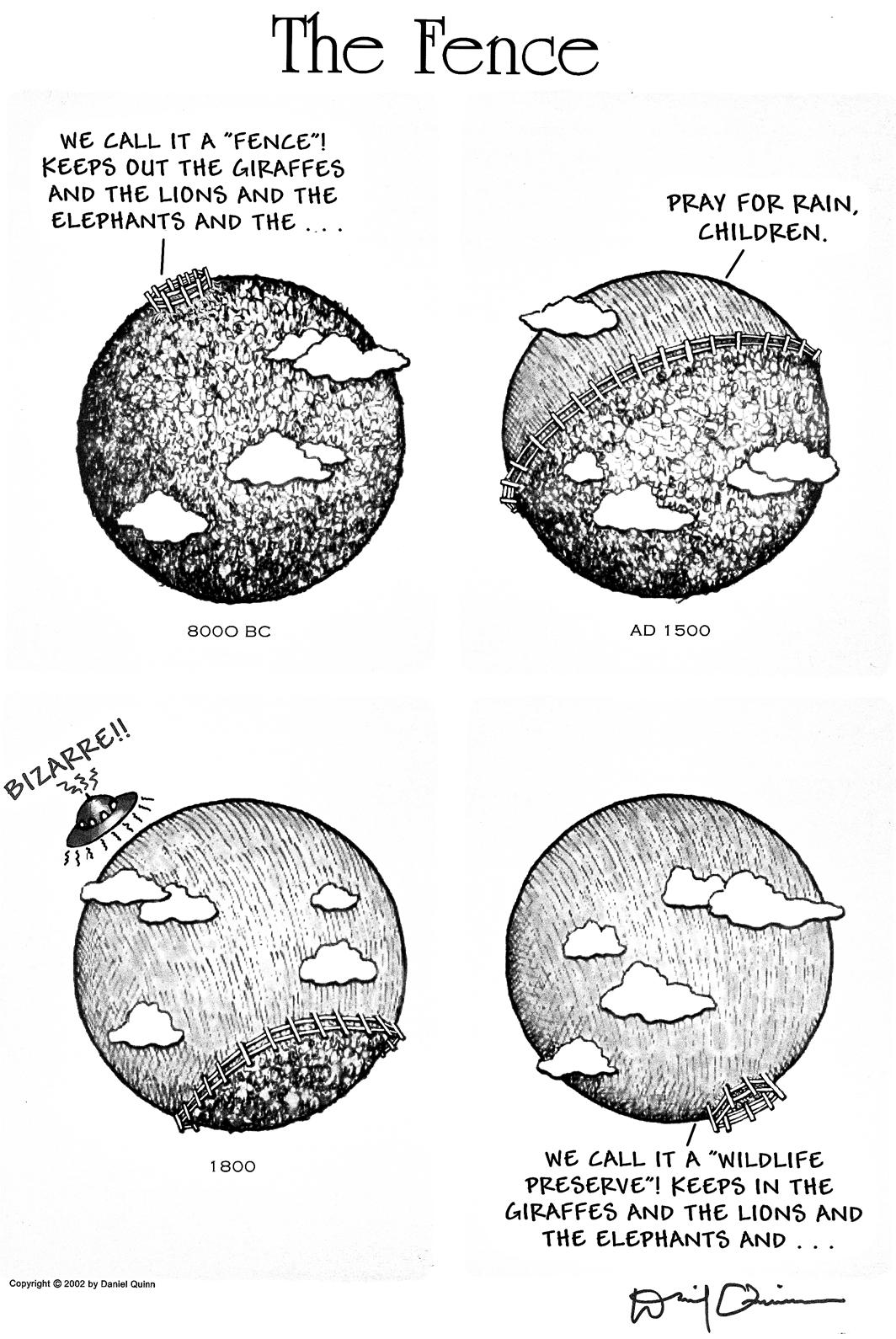
The Fence (2002) by Daniel Quin
This illustration depicts how the separation between human and wild habitats has shifted over the years. Initially, fences were used to keep the wild out of human spaces. Nowadays, they are used to confine the wild to designated areas. This approach is evident in current rewilding projects, which face the challenge of scale. Despite a changed perspective on the intrinsic value of nature, there remains a significant division between human and wild environments in contemporary nature management.
Reflection on the Wilderness Concept of Nature
Reintroducing fauna and managing nature areas in the Netherlands to label them as ‘wild’ brings significant ecological, ethical, and conceptual challenges. This is evident in one of the first Dutch rewilding projects, the Oostvaardersplassen. The dilemma between allowing wild nature to persist and intervening has often been a point of contention there. Proponents of feeding or managing the grazers argue that the food shortage caused by the growing populations of grazers led to animal suffering, and nonintervention would be inhumane.
The controversy here lies in the fact that food shortages are part of an ecosystem’s imbalance, after which the population would adjust. Constant intervention prevents the ecosystem from becoming wild and functioning independently. This case, and the ultimate choice to feed and actively manage the fauna, prevented the Oostvaardersplassen from becoming a selfsustaining ecosystem.
ARK Rewilding Nederland often states that the inability to function independently is a scale problem, and the limited size of the nature area necessitates human management. However, this scale problem is inherent in the current form of rewilding, where wild nature is planned within fences rather than being allowed to move freely within the landscape.
Creating a wilderness within fences attracts many visitors and day-trippers to an area and can lead to a beautiful landscape, but in this form, there is certainly no true wilderness. Limiting nature to demarcated areas undermines the concept of wilderness, where nature should be able to evolve freely and unhindered.
Charisma of the Godwit.
Conclusion
The discussion on integrating nature within the Dutch cultural landscape highlights the complexity of contemporary landscape architecture. Where the intrinsic value of nature was once overshadowed by its utilitarian function, it is now increasingly recognized and embedded in policy. This shift calls for innovative strategies that balance ecological integrity with human needs.
This essay underscores the necessity to redefine what “giving back to nature” means in a highly managed cultural landscape. Recognizing that the original landscape no longer exists challenges landscape architects to create sustainable ecological spaces. The goal should be to grant nature more autonomy, allowing flora and fauna to move and establish themselves freely within a human-altered environment.
Effective nature management must integrate ecological and ethical considerations. The management of meadow birds illustrates the conflict between preserving certain species and maintaining natural dynamics. High financial investments in such projects have not yielded proportional ecological benefits, raising questions about their sustainability and ethical implications.2 Landscape architects should advocate for policies and designs that promote biodiversity and ecological resilience without excessive management or artificial solutions.
A critical factor often overlooked in nature management is time. Halting human intervention can sometimes lead to a temporary reduction in biodiversity, as immediate human alterations are no longer made to maintain current habitats. However, given time, natural succession can lead to the development of more stable and healthier ecosystems. This process might initially result in a perceived loss of diversity, but over time it fosters a more resilient and balanced habitat, with robust populations of species adapted to the evolved environment.
Landscape architects must focus on restoring natural processes and habitats, even in urban environments. This includes supporting flora and fauna, strengthening green infrastructure, and implementing sustainable land use practices. Collaboration with ecologists, policymakers, and the public is essential to make conservation efforts effective and inclusive. Education and public awareness are crucial to engage communities in nature restoration and management.
The future of nature in the Dutch cultural landscape depends on our ability to reconcile human activities with the intrinsic value of nature. By embracing a holistic approach, landscape architects can create resilient and sustainable environments that support both human wellbeing and ecological health. The challenge is to innovate and implement designs that truly give back to nature in a meaningful and lasting way, creating a landscape where nature and culture coexist in harmony.
Charisma the Godwit.
Charisma of Godwit.
Notes
1. Original text: “Nog slechts enkele decennia geleden beoordeelden mensen de natuur als vanzelfsprekend op haar nut voor de mens. Tegenwoordig erkennen de meeste mensen dat de natuur ook een intrinsieke waarde heeft.28 De intrinsieke waarde van de natuur is in Nederland zelfs wettelijk vastgelegd in de Wet Natuurbescherming uit 2017.” (Drenthen, 2021, p. 31).
2. Waar is de Grutto, 2021
From quoted material:
28. Van den Born, 2017; De Groot et al., 2011.
Bibliography
Argeloo, M. (2023). Natuuramnesie: Hoe we vergeten zijn hoe de natuur er uitzag [Nature ramnesia: How we forgot what nature looked like] (3rd ed.). Atlas Contact.
Arts, K., Bakker, L., & Buijs, A. (2022). Rewilding in Nederland : Essays over een offensieve natuurstrategie [Rewilding in the Netherlands : Essays on an offensive nature strategy ] (1st ed.). KNNV uitgeverij.
Bal, D., Beije, H., Fellinger, M., Haveman, R., Van Opstal, A., & Van Zadelhoff, F. (2001). Handboek Natuurdoeltypen (2nd Whole Rev. Ed). https://library.wur.nl/WebQuery/ wurpubs/316516
De Groot, M., M. Drenthen & W.T. de Groot (2011). Public Visions of the Human/ Nature Relationship and their Implications for Environmental Ethics. Environmental Ethics, 33(1): 25-44.
De Jong, T., Dekker, J., & Posthoorn, R. (2007). Landscape ecology in the Dutch context: Nature, town and infrastructure (T. M. De Jong, J. N. M. Dekker, & R. Posthoorn, Eds.; 1st ed.). KNNV publishing. https://brill. com/view/title/25568?lang=en
De Rijk, J. H. & Vrije Universiteit Amsterdam. (2015). Vogels en mensen in Nederland 1500-1920 [Birds and people in the Netherlands 1500-1920]. https://research.vu.nl/ ws/files/42154746/cover.pdf
Drenthen, M. (2021). Hek. De ethiek van de grens tussen boerenland en natuurgebied [Fence. The ethics of the boundary between farmland and nature reserve] (2nd ed.). Noordboek.
European Centre for Nature Conservation & Council of Europe. (1996). Pan-European Biological and Landscape Diversity Strategy. In Nature and Environment [Report]. Council of Europe Press. https://www.cbd.int/doc/nbsap/ rbsap/peblds-rbsap.pdf
Heitman, J., Abma, R., Boonzaayer, M., & Rudy Offereins. (2019). Natuurvisie De Onlanden. In Natuurmonumenten, Waterschap Noorderzijlvest, & Provincie Drenthe, Natuurvisie De Onlanden [Nature vision De Onlanden. In Natuurmonumenten, Noorderzijlvest Water Board, & Province of Drenthe, Nature vision De Onlanden ] (pp. 1–48). https://www.deonlanden.nl/ wp-content/uploads/2022/05/NatuurvisieNatuurmonumenten-StaatsbosbeheerGroninger-en-Drents-Landschap-DeOnlanden-2019-2037_definitief.pdf
Klip, H. (2021, December 15). Rekenkamer neemt beleid voor weidevogels op de korrel [Rekenkamer takes meadow bird policy to task]. H2O/Waternetwerk. https://www. h2owaternetwerk.nl/h2o-actueel/rekenkamerneemt-beleid-voor-weidevogels-op-de-korrel
Lörzing, J. A. (2001). The nature of landscape: a personal quest. 010 Publishers.
Marris, E. (2022). Waarom wilde natuur niet meer bestaat: Een nieuwe kijk op de relatie tussen mens en dier [Why wild nature no longer exists: A new look at the relationship between humans and animals] (J. Pollmann, Trans.; 1st ed.). Nieuw Amsterdam.
Mulders, S., & Drenthen, M. (2020). Populisten zullen de wolf inlijven [Populists will enlist the wolf.]. De Morgen, 54–57. https://www.narcis.nl/publication/ RecordID/oai%3Arepository.ubn. ru.nl%3A2066%2F228648
Natuur, D. L. (2023). Samenvatting | Platform: Weidevogels en roofdieren: geschiedenis en toekomst | De Levende Natuur [Summary | Platform: Meadow birds and predators: history and future | The Living Nature]. https:// delevendenatuurmagazine.nl/de-levendenatuur-nummer-01-2023/samenvattingplatform-weidevogels-en-roofdierengeschiedenis-en-toekomst/
Nederland verdient meer wilde natuur | ARK Rewilding Nederland. (n.d.). ARK Rewilding Nederland. Retrieved June 1, 2024, from https://arkrewilding.nl/
Outer, J. D. (2023). Rechten voor de natuur. Hoe geven we de natuur een stem? [Rights for nature. How do we give nature a voice?] (2nd ed.). Lemniscaat.
Rewilding werkt | ARK Rewilding Nederland. (n.d.). ARK Rewilding Nederland. Retrieved June 1, 2024, from https://arkrewilding.nl/ rewilding-werkt
Schouten, M. (2022). Het andere en het eigene. Onze relatie met natuur en landschap [The other and the self. Our relationship with nature and landscape] (1st ed.). Uitgeverij Noordboek.
Schwartz, D. (2021, March 24). European experiments in rewilding: Oostvaardersplassen. Rewilding. https://rewilding.org/europeanexperiments-in-rewilding-oostvaardersplassen/
Stichting Faunabeheereenheid NoordHolland. (2023). Faunabeheerplan vos in Noord-Holland. In Stichting Faunabeheereenheid Noord-Holland [Fauna management plan fox in North Holland. In Stichting Faunabeheereenheid Noord-Holland] (Ed.), Faunabeheereenheid Noord-Holland. https://fbenoordholland.nl/media/mediaattachment/114.pdf
Van den Born, R.J.G. (2007). Thinking nature. Everyday philosophy of nature in the Netherlands. PhD Thesis Radboud Universiteit Nijmegen.
Waar is de grutto?: Aanpak bescherming weidevogels werkt niet. (2021). In https://www.rekenkamer.nl/ publicaties/rapporten/2021/12/14/waaris-de-grutto. Algemene Rekenkamer. https://www.rekenkamer.nl/publicaties/ rapporten/2021/12/14/waar-is-de-grutto
Bibliography
Yin, S. (2019, August 23). The Netherlands’ grand rewilding experiment, gone haywire. WHYY. https://whyy.org/segments/thenetherlands-grand-rewilding-experiment-gonehaywire/
Zekhuis, M., Van Oort, L., & Hoogenstein, L. (2021). Gewilde dieren. Herintroducties van dieren in Nederland [Wanted animals. Reintroductions of animals in the Netherlands] (2nd ed.). KNNV Uitgeverij.
AI use “In this essay, DeepL Translator, ChatGPT, and Grammarly were used for paraphrasing and translating source material and original texts, as well as for obtaining suggestions for grammatical and linguistic adjustments (OpenAI, DeepL, Grammarly, 2024).”
Lost without a pattern



Timo Banning Landscape architecture O5 25 November 2022






















Lost without a pattern
From PES to pattern
Is Costa Rica's nature policy the right way to counter the negative impact of human habitat on other species and their habitat?
Name: Human Scientific name: Homo sapiens
Lifespan: 60 - 80 years but can also become much older. There is a female individual identified that lived to 122 years old
Diet: Omnivore, diet consists of various processed foods, farmed plants, and meat
Habitat: Nonnatural, humans live in an artificial landscape that can be divided into three subcategories; The living landscape, the production landscape, and the transportation network.
Population: 7.98 billion
Range: 195 countries are inhabited by the human species
Territory: Territorial species that live together with individuals of the same social group but are hostile towards other groups of the same species. The attitude to other animal species differs. It is hard to assess how a human reacts to other species.
This paper focuses on the connection between the habitat of the Tico/Tica (an inhabitant of Costa Rica, m/v) and the natural habitat of Costa Rica. Costa Rica is, compared to the global average, a country with a high density of biodiversity. With its 0.03% land mass it is home to 5% of the world's species of flora and fauna. You can experience the density of Costa Rican nature when you spend the night in one of its natural habitats. When you lie in bed in one of the tropical forests of Costa Rica you will hear the loudness of nature. You hear a place bursting with life, a complex interwoven system of all kinds of flora and fauna. These sounds are a lot less present if you spend a night in the country's capital San José. Here the buzzing of insects is drowned out by the sound of cars.
Costa Rica’s battle against deforestation
Costa Rica is one of the countries with a progressive view of the value of the natural world, trying to strengthen it with policy, funds, and an ecotourism economy. Despite Costa Rica's commitment as a country to nature conservation and growth, changes are still not going fast enough to counter the negative effects of human habitats. The question arises if the policies and strategies made to strengthen the natural habitat are the most effective way to do this. Is the focus put on the strongest positive impact on nature or is it put on painting Costa Rica green to stimulate eco-tourism?
The ecotourism industry in Costa Rica was brought to life to fund Costa Rica’s national parks. Ecotourism is also connected to the government's reforestation initiative. This program is financed by tax incomes on fuel and water and alliances with public and private sectors that are mostly connected to ecotourism. Ecotourism became a multi-million dollar industry and is currently responsible for 5.1% of the country's GDP, expected to almost double in de coming 10 years.
The country, like many others, has a history of deforestation Figure 1.1 shows the deforestation of Costa Rica between 1940 and 1987. In 1940 Costa Rica was still covered in forest but at its height of deforestation in 1987 only 21% of this natural habitat remained.
Costa Rica has, because of its unique placement between two oceans (the Pacific and Caribbean) and proximity to the equator, a large variety of microclimates. The variety in microclimates and soil gives Costa Rica its great diversity in flora. Costa Rica has six types of forests: tropical rainforests, cloud forests, tropical dry forests, mangroves, lowland rainforests, and riparian forests.
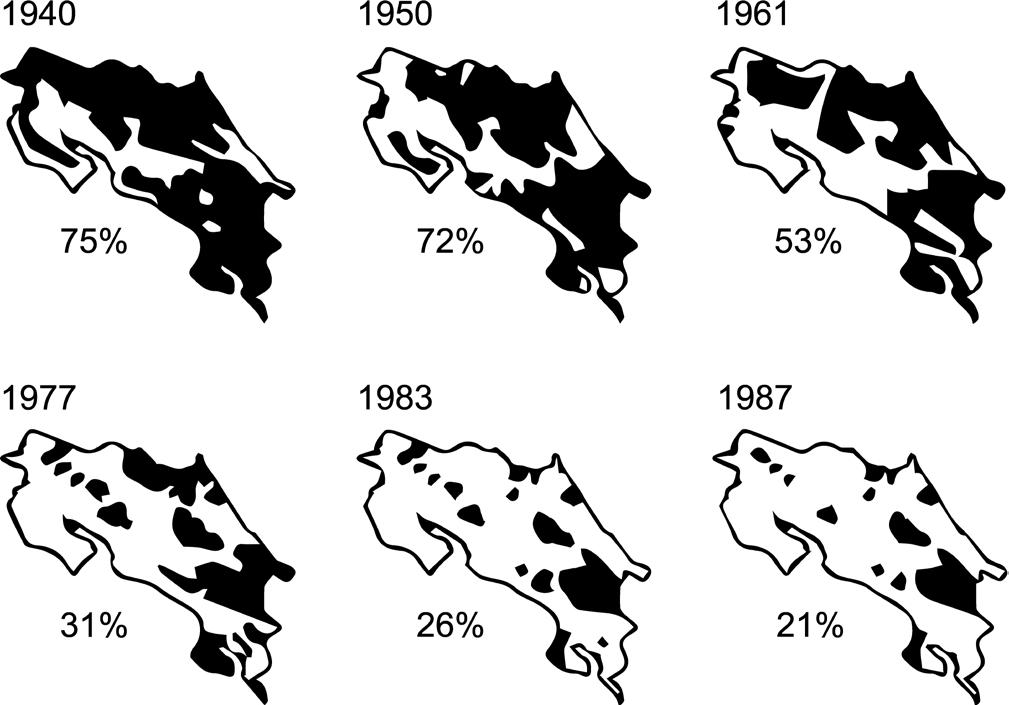
The types that were mostly cut to make a place for agricultural land were the tropical rainforest, tropical dry forests, lowland rainforests, and riparian forests. Of all the vegetation types known to Costa Rica, the forest vegetation has the highest diversity of fauna. All forest types are inhabitant by a large diversity of fauna, some common in multiple types of forest and some specific to a forest type. By cutting away all this natural habitat Costa Rica was facing a mass loss of biodiversity and the possibility of losing a large number of its species forever.
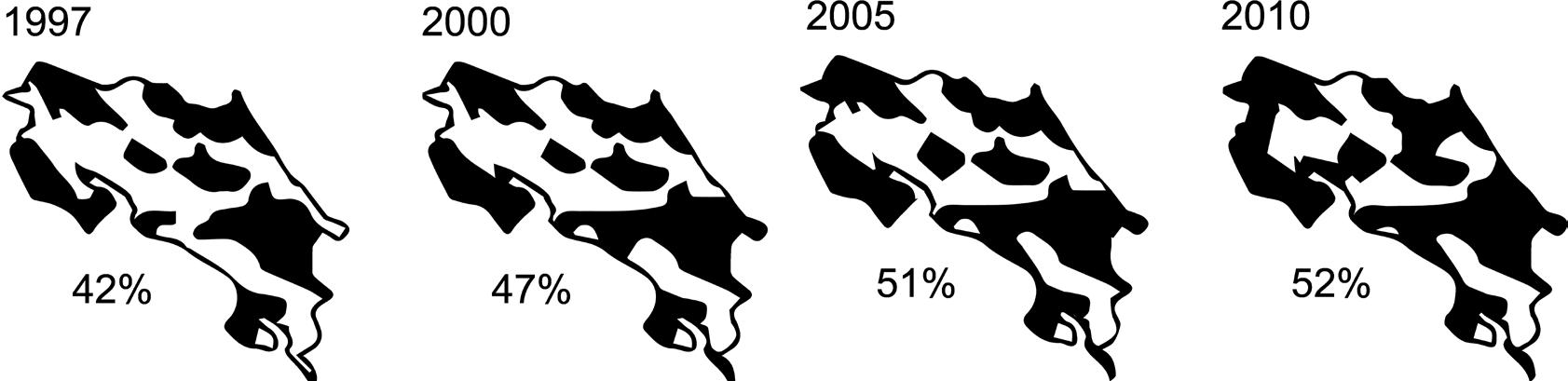
To turn the tide on deforestation the government passed the Payments for Environmental Services (PES) program under Forestry Law 7575 in 1996. This program aimed to preserve existing forests and promote additional tree planting, to reforest a part of its agricultural land. Figure 1.2 shows how by instating the PES program in 1996, the current forested area of 51% was reforested by the year 2010.
Costa Rica’s reforestation is one of the most successful reforesting efforts worldwide, in the first year after passing the law the amount of forest doubled. The PES program states that all conversion of established forests would be punishable by prison sentences rather than fines. It also offers payment for reforesting, protecting forests and managing forests outside of national parks. The program was instated to empower small- and medium-scale private landowners to convert and manage forest ecosystems and promote sustainable development. The rate of forested areas has been stable at around 52% from 2010 onward. All the reforested areas are now protected by PES, so as long as it remains the amount of forest would be stable.
Figure 1.1
Figure 1.2
Green isn’t a synonym for biodiversity
PES is one of the reasons Costa Rica gained its green image as a sustainable and eco hotspot. The critical note of questioning whether the reforested areas' quality is similar to natural forests. And, if this is the most effective way to reconnect natural structures? Seems to be missing. If you do take a critical look at the results of PES. You will notice that by focusing only on planting trees and not on the quality of the habitat. The emphasis seems to have shifted from habitat creation to presenting the greenest possible image. A more effective way to combat biodiversity loss would be to focus on ways to make human habitat species-inclusive. By linking the PES subsidy to species inclusiveness rather than tree density. The focus will be on creating a habitat that's specie inclusive and not on the green appearance of a satellite image.
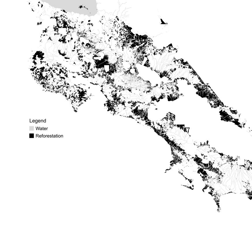
Figures 1.1 en 1.2 show the areas where reforestation took place but it is not an exact representation. The PES program reforests on a private owner initiative, meaning that not all plots in the reforested areas have been converted back into forests. The reforested areas are like Swiss cheese in structure: it is mostly forest but there are holes of human habitats in between. Figure 2.1 shows reforested the areas.
PES allows sustainable development in reforested areas. These developments mostly come in the form of ecotourism initiatives, eco-villages, or permacultural initiatives. A lot of the places that have been reforested are connected to national parks. These areas are the places that attract the most eco-tourism. If you're looking for a hotel, hostel, rancho, or eco-villages near a national park you will see that there seems to be a density of them in the reforested areas surrounding the national parks. These places are located on old agricultural plots that have been reforested for funding and keep receiving money for maintenance but added a sustainable development linked to eco-tourism as an extra economic activity.
Besides the question of the quality of the reforestation, you should also question the target group of the PES program. PES is only accessible to small and middle-scale private landowners. This group of landowners mostly used their plots for agricultural activities for the national market, the large-scale monocultural plantations that produce for the international market are not affected by PES. Large-scale monocultural plantations are the biggest cause of habitat fragmentation and soil depletion. Next to that their produce is also shipped worldwide, increasing their negative impact on the environment. There is also another negative external effect of reforesting small and middlescale farmland. The produce that they produced for the local market now has to come from farther away, increasing the number of food miles of the food eaten by the Ticos and Ticas.
Two sides of the same coin
PES was a necessary and great working tool to stop deforestation in Costa Rica and had a positive effect on Costa Rican nature. Now 26 years after PES we can analyze it with a more critical look. The amount of forest has been stable for the last 12 years but the amount of species in Costa Rica is still declining, so Costa Rica needs to look for the next step of nature conservation. In big contrast with the green-eco image that Costa Rica projects to the outside world, Costa Rica is one of the largest pesticide users in the world.
Figure 2.1
As stated before, large-scale deforestation in Costa Rica started around the 1940s. This deforestation connects to the invention of chemical pesticides. Pesticides, along with the discovery of chemical fertilizer, enabled the greatest intensification of the agricultural landscape in history. With this discovery, a farmer could work way more land so more forest was cut to make place for agricultural land. PES put a hold on the deforestation of Costa Rica but the use of agricultural chemicals hasn’t lowered throughout the years. A 2011 United Nations report, quoting the World Resources Institute, identified Costa Rica as the world's largest consumer of pesticides:
"In terms of the environment, Costa Rica paints itself green, like fresh broccoli, before the international community. However, the overwhelming presence of pesticides in their agriculture demolishes that image."
And in 2022, the UN warns Costa Rica once again about their pesticide use after research shows that many plantation workers suffered health problems, illness, and even death as a result of the high amounts of pesticide they came into contact with. These pesticides go hand in hand with the use of chemical fertilizers. These substances accumulate in the soil and via surface water enter into natural areas and the ocean, where they have a major impact on nature. The chemicals used start to affect the natural habitats surrounding them, not only the flora is affected but the effect is also seen in the fauna that consumes produce from or around the plantations. Groups of howler monkeys that live near agricultural landscapes are developing yellow spots in their fur, researchers are still looking into this phenomenon and what the further impact on the health of the howler monkeys is. The cases of bowel cancer among the human species is also higher in Costa Rica. This is also linked to the consumption of products containing high levels of pesticides. The impact of agricultural chemicals is a large one. At the moment there is no active policy in Costa Rica that focuses on a reduction of chemical use. Putting a stop to chemical use in Costa Rica’s agriculture should be the next great step to a more sustainable Costa Rica.
Regaining pattern
Costa Rica projects an image of itself that is greener than grass toward the outside world. With the great PR machine of ecotourism, it is hard to find critical notes about Costa Rica's interaction with its natural habitats but, if you look behind the layer of green paint you can find the challenges that Costa Rica’s natural habitats are facing. Costa Rica might have turned the tide on deforestation but the impact of the agricultural landscape on nature isn’t solved by only stopping deforestation. By removing, altering, and burying landscape patterns, humans took away the ability of other species to move freely through the landscape. These patterns are an important part of navigating through the natural landscape and regaining a connection in-between the natural and human landscape. Communication in-between species is necessary to reconnect our landscape to natural systems.
By consulting research about the jaguar's habitat you could try to see the landscape from its perspective. A jaguar can’t communicate in our languages so it is our challenge to study their behavior and convert it into a language we understand. Doing this a jaguar would tell you that it needs a large hunting ground where it can hide in the bushes to surprise its prey. It wants its own territory with a part close to a body of water for more intensive use. It could tell you that it doesn’t walk just to walk but that it hunts during its movements and that between sneaking upon prey it likes to take a nap on an overhanging tree along a river. The jaguar would tell you about the family it lost to the traffic near its habitat and that there is no habitat left for its offspring in its piece of forest. That they can’t travel freely to find their own territory because of human habitats. If we would listen to the story of the jaguar, the bat, the toucan, or the howler money, they would tell us about their own habitat and what they need to cross or live in our human habitat.
Translating the needs of other species into landscape patterns that can be implemented in the human landscape, would be the next great step in Costa Rica’s connection with their natural habitats. To be able to translate behavior into design Costa Rica doesn’t need more policies, but it needs a different way of thinking. Tikas and Tikos need to use their knowledge about other species to welcome them back into their habitat. It's as much a change of design and interaction as it's about changing the language we are used to speaking about or with other species. This different approach to living together with other species needs a different type of human. Homo sapiens need to go from the maker of the barriers between the natural and human landscape to Homo naturals, a human species that is a pioneer in the habitat of ‘sapiens trying to regain natural patterns to welcome other species back into its habitat.
Name: Human
Scientific name: Homo naturalis
Lifespan: 65 - 85 years but can also become much older. There is a female individual identified that lived to 122 years old
Diet: Omnivore, diet consists of various farmed plants and meat and gathered food sources from natural habitats
Habitat: Pioneer species. Homo naturalis is a pioneer species in the Homo sapiens habitat. Homo naturalis live in old Homo sapiens habitats but it alters them to contain natural landscape patterns and structures. The alterations “naturals make are designed with a species-inclusive scale and size. Where “naturalis changes the “ sapiens landscapes, other species follow.
Population: 5.2 million, Homo naturalis started in Costa Rica but is now also taking over other Homo sapiens habitats the prospect is that over time they need to replace the 7.98 billion Homo sapiens worldwide to lower the impact on the planet's resources.
Range: Mostly found in Costa Rica but are also gaining territory in the other 195 countries inhabited by the human species
Territory: Homo naturalis is mildly territorial to other humans in the center of its habitat. It is selective about the humans that enter its home. These are mostly humans from the same family or social groups. Homo naturalis is a pioneer species in the “sapiens habitat and lives in an inclusive habitat with other species. The ties it makes with other species benefit natural systems and ensure sustainable partnerships in food production and in habitat enrichment. There is no territorial behavior against other species but a constructive relationship.
Literature list
AZoCleantech. (2022, June 21). Costa Rica: Environmental Issues, Policies and Clean Technology AZoCleantech.com. https://www.azocleantech.com/article.aspx?ArticleID=554
Costa Rica: Environmental Profile. (n.d.). https://rainforests.mongabay.com/20costarica.htm\
Costa Rica Wildlife and Biodiversity | WorkingAbroad. (2019, February 6). Working Abroad. https:// www.workingabroad.com/travel/costa-rica-wildlife-and-biodiversity/
Darwin in de stad: evolutie in de urban jungle. (n.d.). Atlas Contact.
Disaster risk reduction in the livestock sector: the Costa Rican experience - Costa Rica. (2019, July 11). ReliefWeb. https://reliefweb.int/report/costa-rica/disaster-risk-reduction-livestock-sectorcosta-rican-experience
Expansion of Oil Palm Plantations as State Policy in Central America | World Rainforest Movement. (n.d.). https://www.wrm.org.uy/bulletin-articles/expansion-of-oil-palm-plantations-as-state-policyin-central-america
Foster, C. (2016). Being a Beast. Adfo Books.
GreenHawks Media. (2020, February 12). Investigating Palm Oil in Costa Rica over J-Term https:// greenhawksmedia.net/2020/02/12/investigating-palm-oil-in-costa-rica-over-j-term/
How the Costa Rican government helps Promote Forest Reforestation. (n.d.). Go Visit Costa Rica. https://www.govisitcostarica.com/travelInfo/government-programs/government-helps-promotereforestation.asp
Staff, T. (2019, December 30). Environmental Pollution and Depletion of Natural Resources. The Costa Rica News. https://thecostaricanews.com/environmental-pollution-and-depletion-ofnatural-resources/
Zúñiga, A. (2021, February 22). The truth about Costa Rica’s pesticide use. https:// www.crcdaily.com/p/costa-rica-pesticide-use
Verwouding. A Nemoretum in the Gelderse Vallei reframes the Dutch ambition for new forest not as a matter of hectare delivery, but as the beginning of a long-term landscape transformation. Situated in the Gelderse Vallei, between the Veluwe and the Utrechtse Heuvelrug, the project establishes the conditions for verwouding: a gradual process in which a highly managed agricultural landscape is released into ecological succession, allowing woud to emerge.
Embedded within this transforming landscape, Nemoretum de Gelderse Vallei consists of a series of designed places that prefigure the woud. Drawing on its spatial archetypes, these nemoreta make the atmospheres and meanings of woud perceptible before it fully exists. Without prescribing fixed uses or rituals, they give the emerging woud a cultural beginning: creating room for recognition, attachment, stories, and rituals to arise over time.