The Battle of Sea and Land
Protecting or Adapting Northeast Scotland’s Coastline
English


Isabel Nathalie Huis in ‘t Veld
The wind whispers light, with gentle devotion, patiently shaping through endless erosion.


English
The wind whispers light, with gentle devotion, patiently shaping through endless erosion.
Protecting or Adapting Northeast Scotland’s Coastline
Isabel Nathalie Huis in ‘t Veld isabelhuisintveld1997@gmail.com
Master of Landscape Architecture
Academy of Architecture January 22, 2026
Committee Members
Ms. Yttje Feddes (mentor)
Mr. Sjaak Punt
Mr. Jelmer Cleveringa
External Committee Members
Ms. Mirjam Koevoet
Ms. Charlotte van der Woude
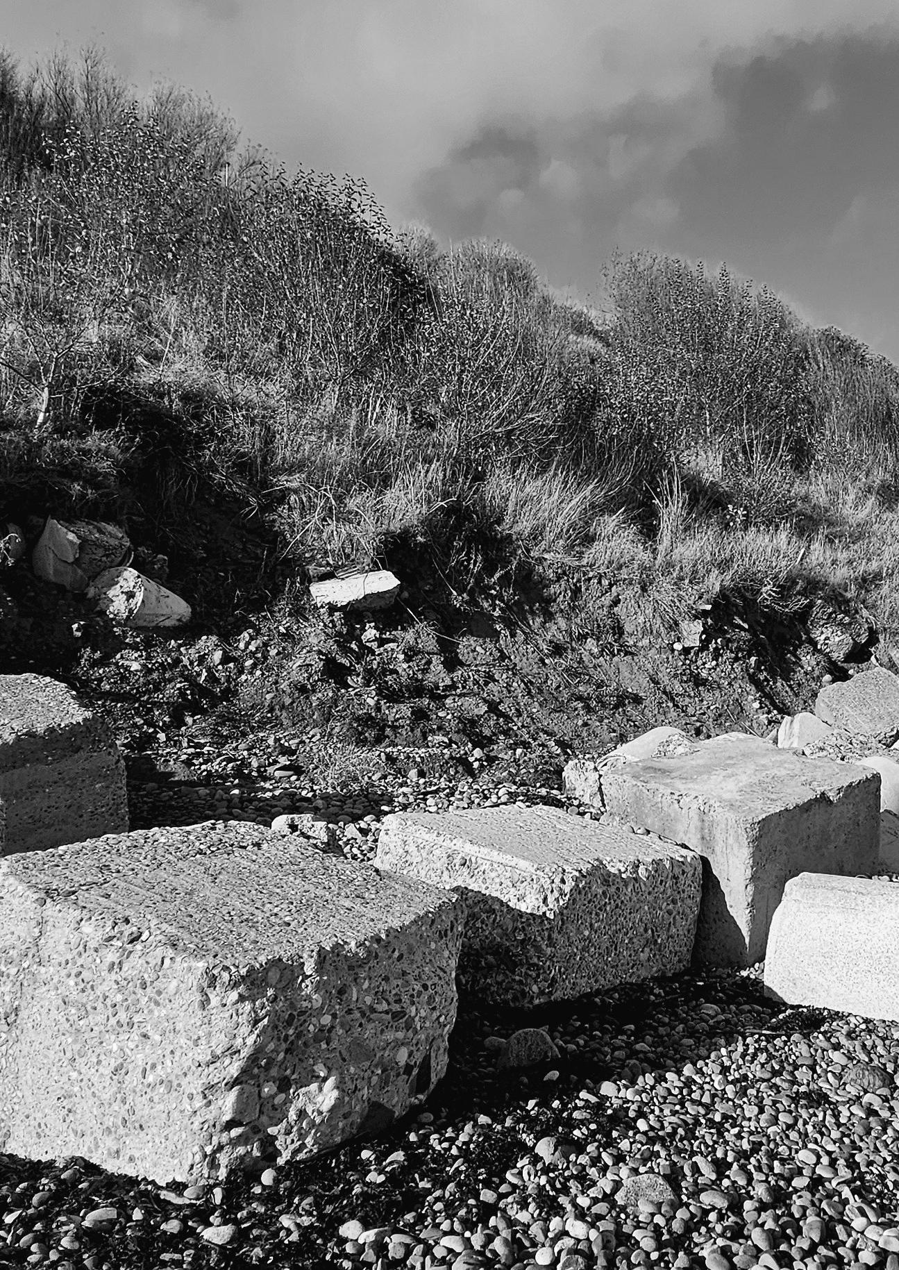
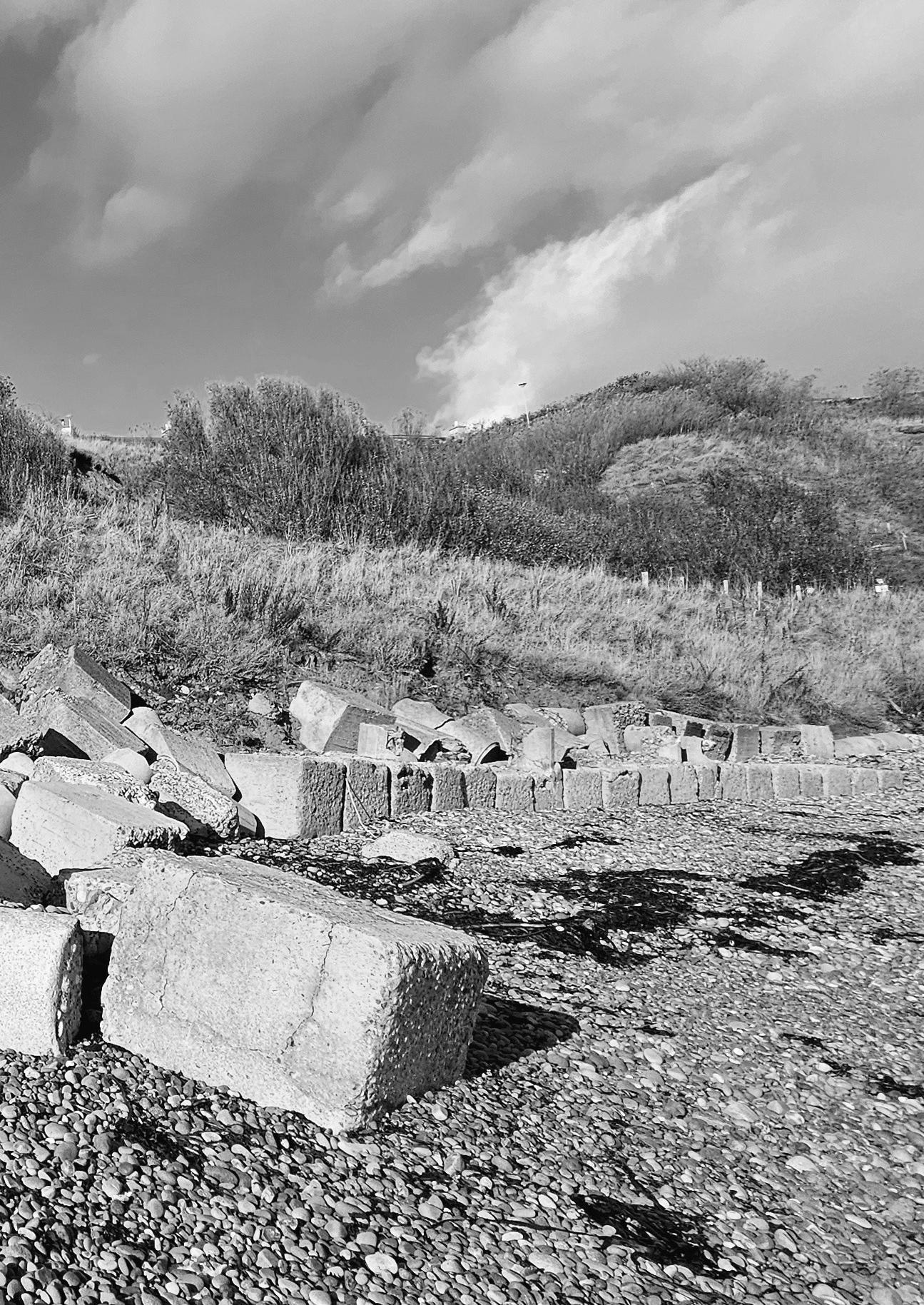
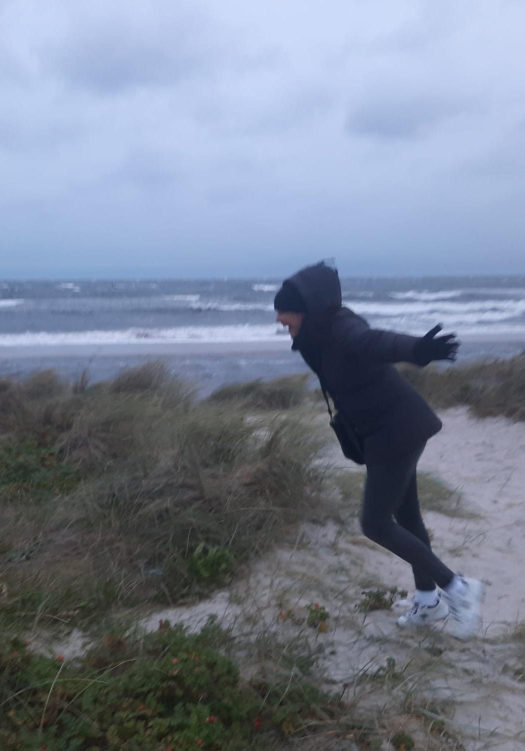
In the past, my grandfather often told stories about the dike breach during the North Sea Flood of 1953. In his stories, that frightening night came back to life: the storm, the water forcing its way inland with brutal power into land that had seemed safe until then. At the age of 21, he had to help, but the water rose so quickly that it swept away everything in its path. He spoke about the feeling of complete helplessness in the face of nature. Those stories made a deep impression on me. They made me realise that water can be both a friend and an enemy, and that it still has something mysterious about it to this day.
Because of his stories, and because I grew up in the Netherlands, I learned early on that water shapes our lives but also constantly threatens us. Our history shows how strong this connection is: water has shaped our culture, trade, and agriculture. Over the centuries, we have developed clever solutions to protect ourselves, such as the Delta Works. At the same time, this struggle is becoming more complex due to climate change and global warming.
This struggle between sea and land does not only take place in the Netherlands. All over the world, countries are facing rising sea levels, heavy rainfall, and coastal erosion. Problems are also increasing in Scotland. Especially along the northeast coast, villages are becoming more vulnerable as storms accelerate coastal erosion. Residents are raising the alarm and calling on the government to act quickly, before their villages disappear into the sea.
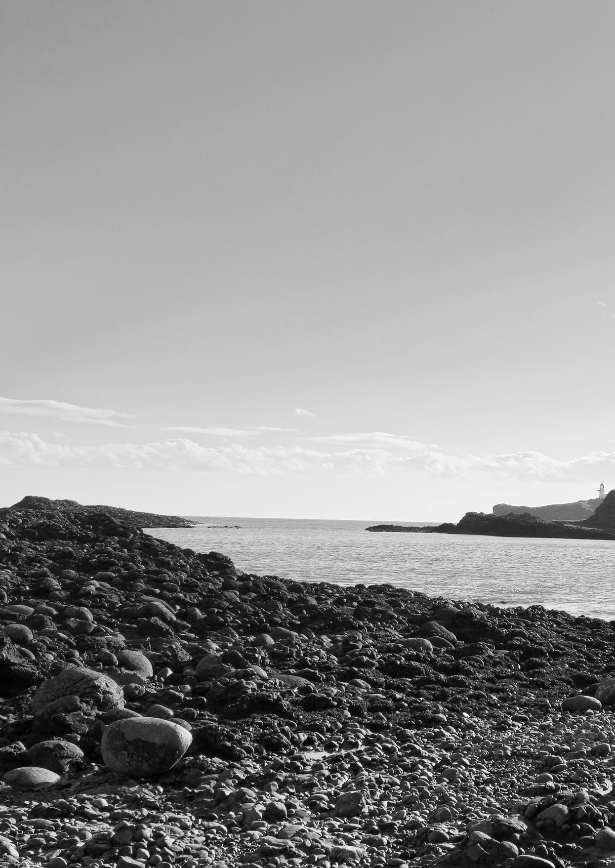
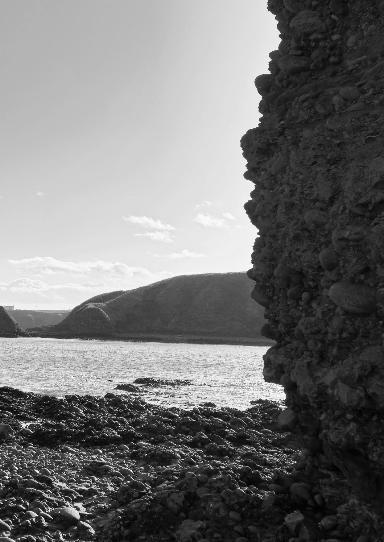
‘Extremes rise to claim their throne’
This publication is the result of my graduation project at the Academy of Architecture in Amsterdam. In this project, I explored how we can design with coastal erosion, instead of constantly fighting against it. Coastal erosion is no longer an abstract problem, but a visible reality. Is it possible to develop sustainable solutions that go beyond temporary emergency measures? Or do we need to accept that, in some places, nature takes the lead and retreat becomes unavoidable?
My research therefore focuses on how we can deal with coastal erosion in a responsible way in the bays along the northeast coast of Scotland. What is needed to keep these areas safe and liveable in the long term, and where might we have to accept that letting go is the only option?
My fascination began with reports about erosion problems in the news. Further research led me to the northeast coast of Scotland, a relatively underexposed region where intervention is now becoming necessary in certain locations. The research focuses on three bays: Gardenstown, Sandend, and the Moray area. In bays such as Gardenstown, erosion is clearly visible but mainly takes place on a geological timescale. In bays like Sandend, action is required now, but with the right measures the damage can remain relatively limited. In the bay of the Moray area, however, this dynamic comes together with human vulnerability. Here, the threat is immediate and the landscape calls for an integrated design approach, in which safety, liveability, and natural processes are inseparably linked. The bay in the Moray area was therefore chosen as the main focus: a place where coastal and river erosion are becoming increasingly visible and have direct consequences for residents, infrastructure, and the local economy.
The design consists of a phased strategy with four time steps: 2025 – 2057 – 2075 – 2100. Instead of fixing the landscape in place, a combination of hard and soft measures guides the natural erosion process in a safe and controlled way. As a result, the final landscape is not designed by humans, but shaped by nature itself. After 2100, the process shifts to a geomorphological timescale and design deliberately comes to an end. Because the bay in the Moray area is under acute threat, this bay has been developed into a full design with multiple sub-areas.
The bays of Gardenstown and Sandend have been developed up to the level of proposed measures and a final vision, but not into a complete design.
Within this project, research was conducted into different bay typologies and how a variety of measures can be used to design with erosion. Every bay along the northeast coast is different, but the developed measures allow for a site-specific approach at each location. In addition, designing with erosion has led to the emergence of a new, dynamic landscape that also gives the northeast coast a boost in terms of recreation and economy. New hotspots, safe walking routes, and a more intense experience of nature attract tourists back to the area, strengthening the regional economy.
This project shows that not everything can be let go, but not everything can be protected either. Designing with erosion requires time, patience, and an acceptance of change. That is precisely where the strength of this design lies: it teaches us to recognise the beauty and meaning of a landscape that is constantly in motion.
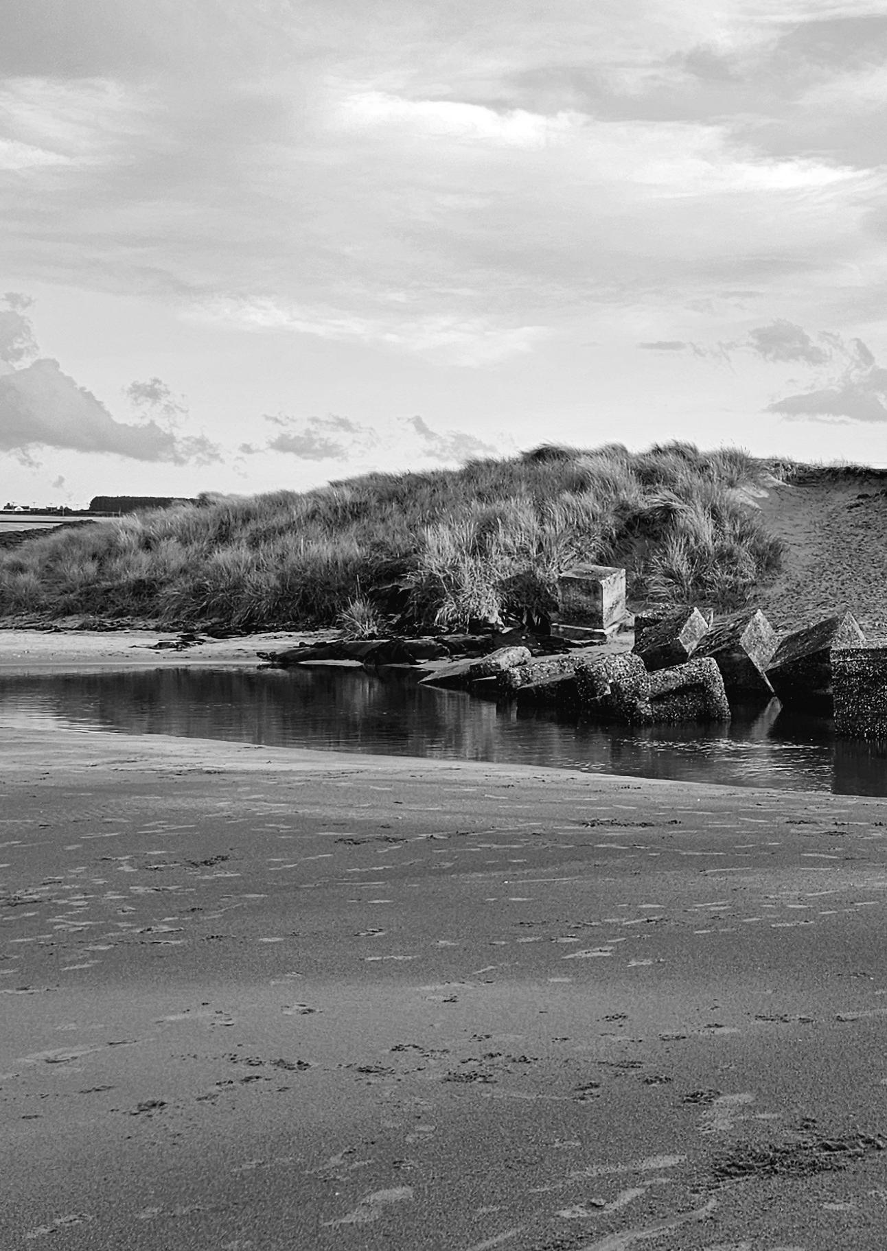
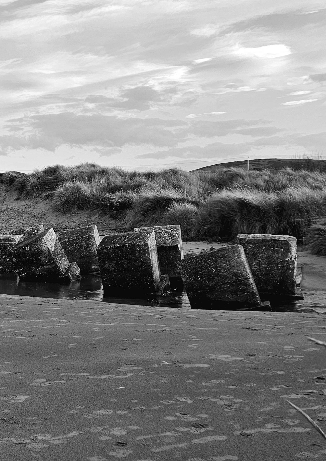
Introduction
Summary
Table of Contents
Definitions
01 / Centuries by the Sea p. 24
02 / Where the Coast differs p. 52
03 / Scotland in motion p. 66
04 / The battle of Sea and Land p. 102
05 / The new Scotland p. 162
Epilogue
The Battle of Sea and Land
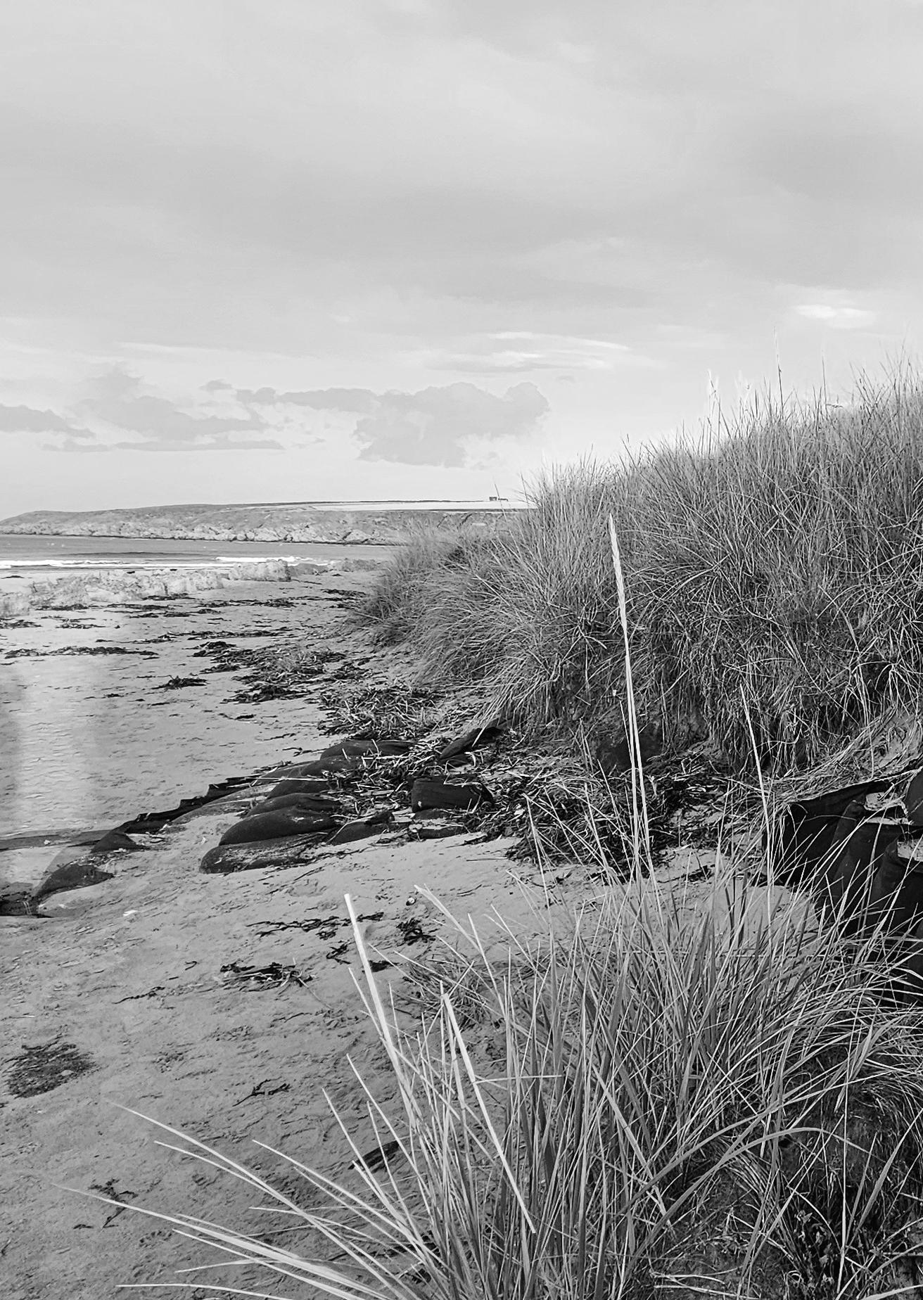
Around 1880, coastal erosion along the northeast coast of Scotland was recorded for the first time. Local authorities and engineers raised concerns about retreating coastlines and pointed to the need for protection, for example through the construction of sea defences. These early observations still form an important basis for today’s understanding of erosion in this region.
Recent data from the Dynamic Coast project show that erosion has increased significantly since the 1970s. Its extent has grown by 39%, while the rate at which the coastline is eroding has doubled from an average of 0.5 to 1 metre per year. At the same time, sediment supply has decreased by 22%, making natural recovery processes increasingly less effective.
The main cause of this development lies in climate change. More extreme weather conditions, especially stronger and more frequent storms, play a decisive role. During the winter months, these storms reach their peak: waves become higher and break closer to the shore, accelerating erosion. This is particularly problematic along soft coast types such as sandy beaches and dunes, which are eroded relatively quickly. About 19% of the Scottish coastline consists of these vulnerable areas.
The consequences are clearly visible at a local level. In the fishing village of Gardenstown, several landslides occurred between 2008 and 2024, and retaining walls collapsed. Such events painfully illustrate how fragile this stretch of coast is. Within 50 metres of the shoreline, buildings and infrastructure worth around 18 billion euros are at risk, making effective coastal protection even more important.
Coastal erosion here is no longer an abstract issue, but a visible reality that raises difficult questions. Is it possible to develop sustainable solutions that go beyond temporary emergency measures? Or do we need to acknowledge that, in some places, nature takes over and retreat becomes unavoidable?
For this reason, my research focuses on how we can deal with coastal erosion in the bays of northeast Scotland in a responsible way. What is needed to keep these areas safe and liveable in the long term, and where might we have to accept that letting go is the only option?

Since2000,thiscoasthas beenthefastesteroding coastlineinEurope,at1.7m peryear.
Didyouknowthat19% ofScotland’scoastline ishighlyvulnerableto erosion?




Coastal erosion is the process by which the coastline is gradually worn away by natural forces such as waves, tides, wind, and rising sea levels. The speed and severity of this process depend on factors such as the composition of the coast (for example, hard or soft rock), exposure to storms, and the amount of available sediment.
Several mechanisms contribute to coastal erosion:
Hydraulic action occurs when waves force air and water into cracks in cliffs, eventually causing the rock to break apart. Abrasion happens when loose materials such as sand and pebbles are thrown against the coast by waves, causing wear and erosion. Attrition occurs when rock fragments collide with each other and break down into smaller particles, which can then be easily transported away. In addition, solution (corrosion) causes salts and other chemicals to dissolve certain types of rock, such as limestone.
‘Is this a battle in which we believe erosion lasts, t’will not cease’
Aeolian process: A geomorphological process in which landforms are shaped by the action of wind.
Erosion: The process by which a solid surface is worn away, causing material to be transported or completely removed. On Earth, erosion mainly occurs through the action of wind, flowing water, and ice, although less common forms of erosion can also result from volcanism and impacts.
Geography: The science that studies how the Earth is organised and how humans and nature are interconnected.
Geomorphology: The science that focuses on the formation and transformation of landscapes and landforms.
Coastal erosion: The force of water and wind moves sand and sediment, causing the coastline to become thinner and retreat.
Coastal countries: Countries that border a coastline, such as the Netherlands or the United Kingdom.
Coastal communities: Societies that live close to the coast and depend directly on the coast and its dynamics.
Coastal segments: Sections or zones of the coastline that are distinguished based on geographical, geomorphological, or ecological characteristics.
Moray Firth: A roughly triangular bay of the North Sea, located on the east coast of Scotland, north and east of Inverness.
Mechanical erosion: Erosion caused by physical forces such as wind, water, and wave action.
Drainage basin (catchment area): The entire area in which rainwater and meltwater flow towards a river and eventually drain into that river.
Sedimentation: The process by which loose material such as sand, clay, silt, or gravel is deposited after being transported by water, wind, or ice. This occurs when the energy of the transporting medium (for example a river, ocean current, or wind) decreases, causing the material to settle.
Wind erosion: The process by which wind picks up and transports loose particles such as sand, dust, or small stones.

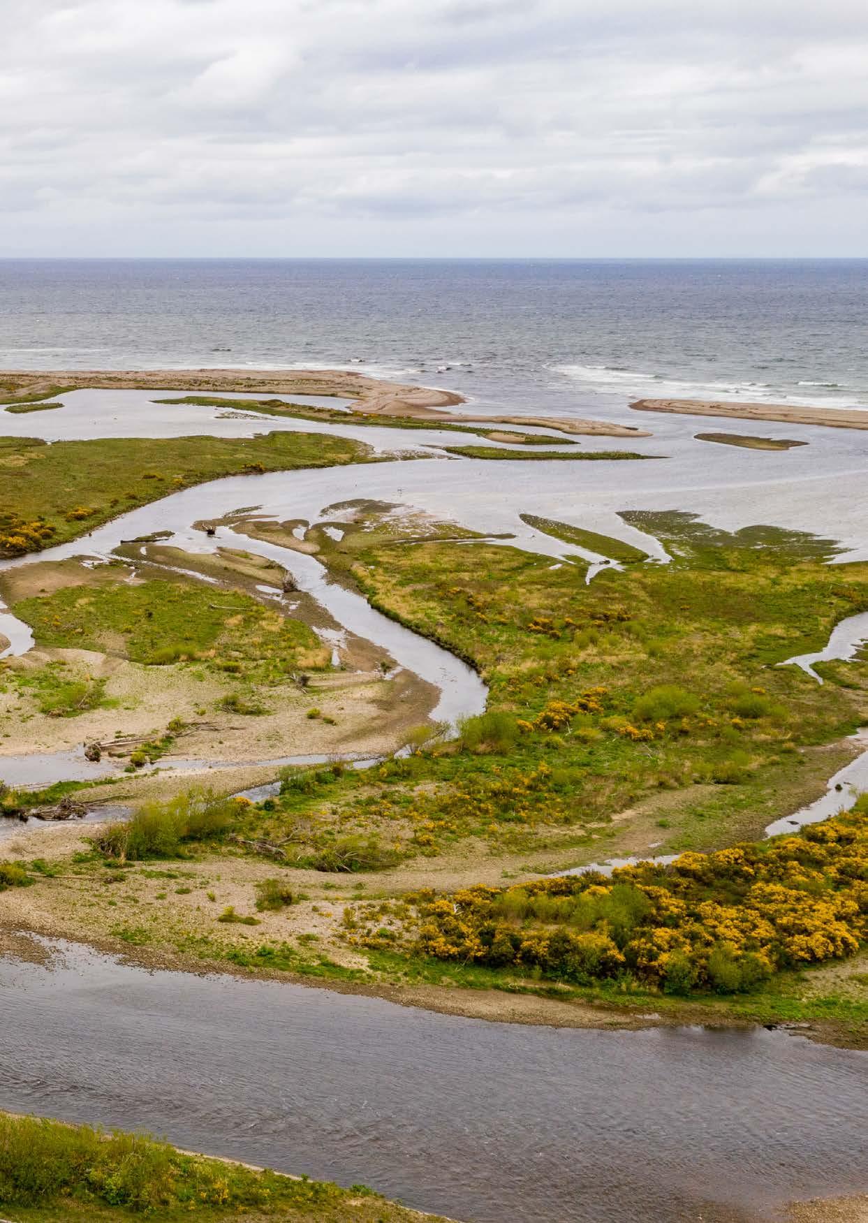
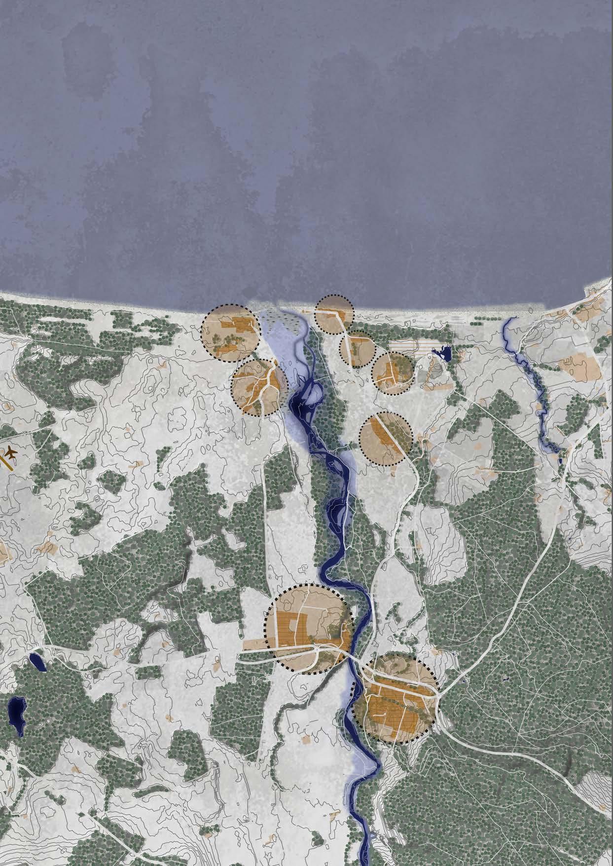
On the north coast of Scotland lies Moray, a region where sea, rivers, and people have been closely connected for centuries. The coastline and river mouths have strongly shaped the lives of local communities. Places such as Kingston, Lossiemouth, and Elgin show how nature, economy, and history continually come together here.
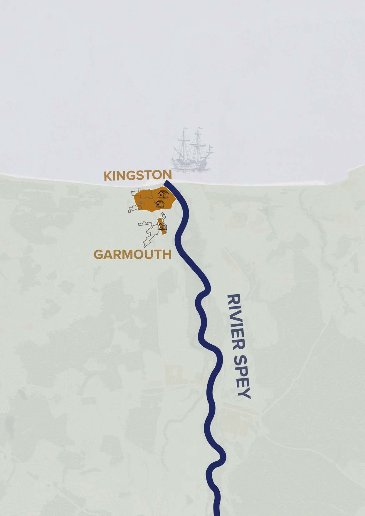
Kingston was founded at the end of the eighteenth century on the western bank of the River Spey. What began as an empty and marshy estuary quickly developed into a centre for shipbuilding. In 1784, shipbuilders from the port city of Hull settled in the village. Using timber transported down the Spey, they established shipyards and built vessels on site. As a result, Kingston gained an important position, and even clippers for the tea trade were constructed there. When timber supplies declined and steel ships became dominant, shipbuilding gradually disappeared. Nevertheless, Kingston remained a significant place at the river mouth.
A major moment in the village’s history was the great flood of 1829, known as the Muckle Spate. Half of the village was lost during this event, leaving deep scars within the community.
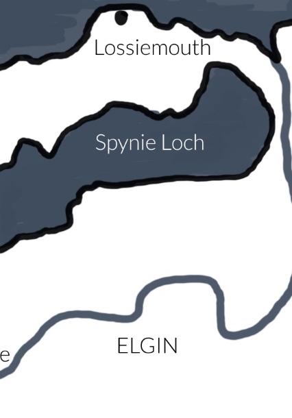
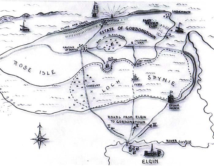
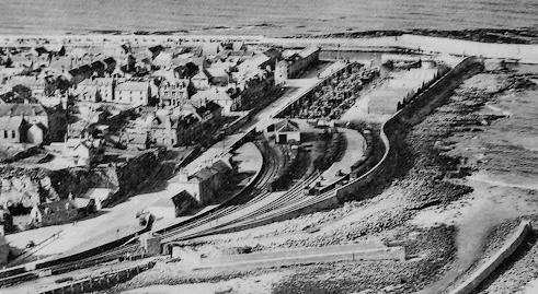
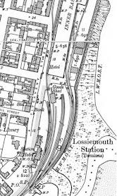
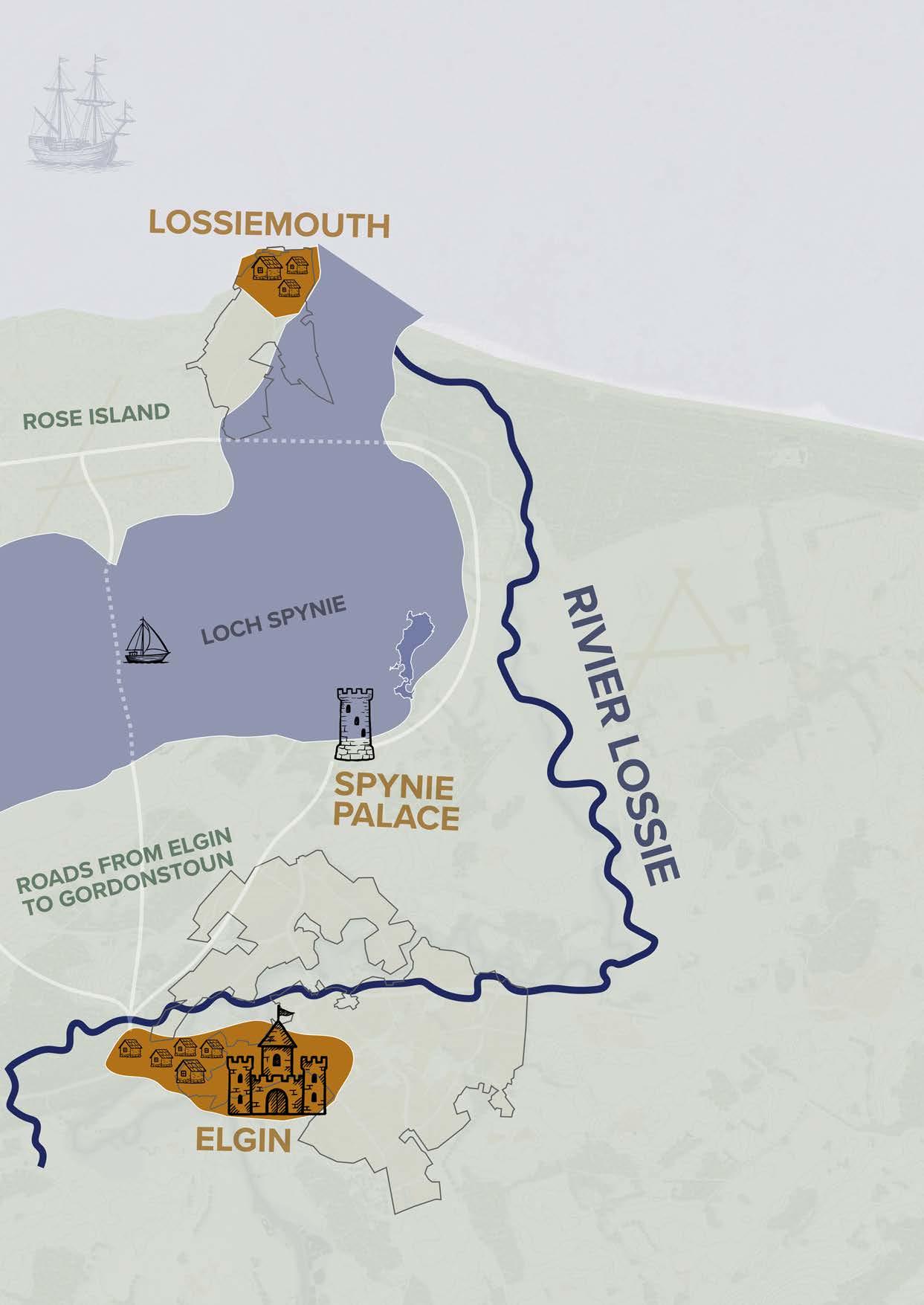
To the west of Kingston lies Lossiemouth, a town that was also shaped by the interaction between land and water. Originally, Elgin’s harbour was located at Spynie Loch, but due to silting and severe storms, access was blocked in the sixteenth century. The loch was eventually drained, causing the harbour function to disappear and the community to shift towards the coast. There, Lossiemouth emerged as a new harbour town. From the eighteenth century onwards, it grew into an important centre for fishing and trade. The construction of new harbours, including at Stotfield Point, and later the railway connection to Elgin, gave the town a strong economic boost.
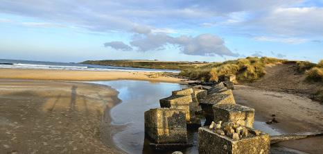
In 1939, Lossiemouth was hit by a severe storm during which the North Pier was destroyed. The pier was quickly rebuilt, demonstrating how vital the harbour remained to the town. Over the course of the twentieth century, the character of Lossiemouth changed. Fishing declined, while tourism became increasingly important. The establishment of RAF Lossiemouth also brought new employment opportunities and residents. Even along East Beach,
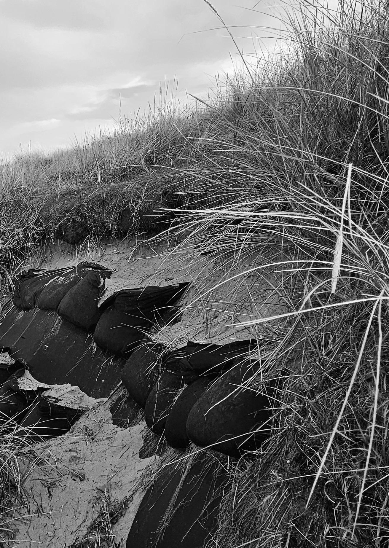
human influence is visible: old railway carriages were used to protect the dunes from the sea.
Elgin, located slightly further inland, long functioned as the administrative heart of Moray. Its connection to the coast was essential. For centuries, Spynie Loch served as a harbour until natural processes and human interventions, such as the drainage and canalisation of the loch in the nineteenth century, brought this function to an end. Despite this, Elgin remained an important regional hub.
Together, Kingston, Lossiemouth, and Elgin tell the story of a region in constant transformation. Shipyards and fisheries emerged and disappeared, harbours shifted, and land was reclaimed from the sea. Beneath the calm, flat landscape lies a rich history, shaped by the ongoing struggle and cooperation between people and nature.
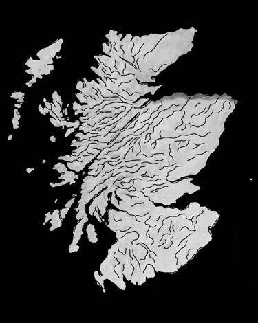
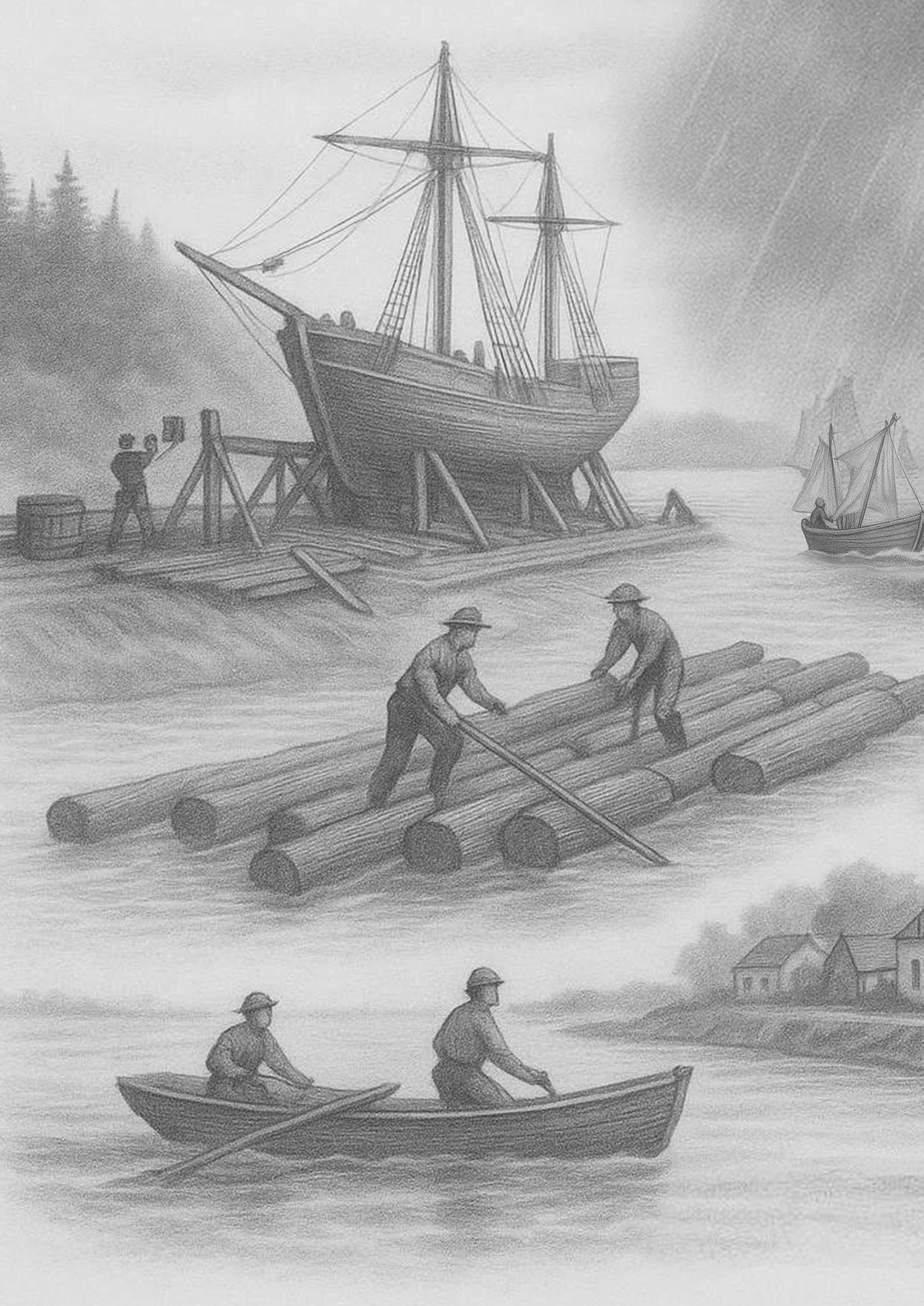
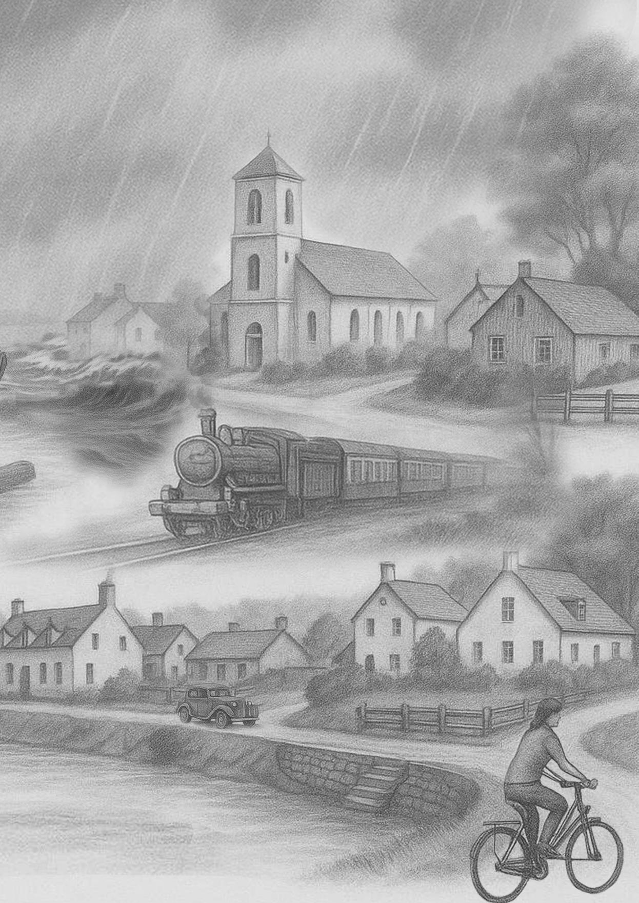
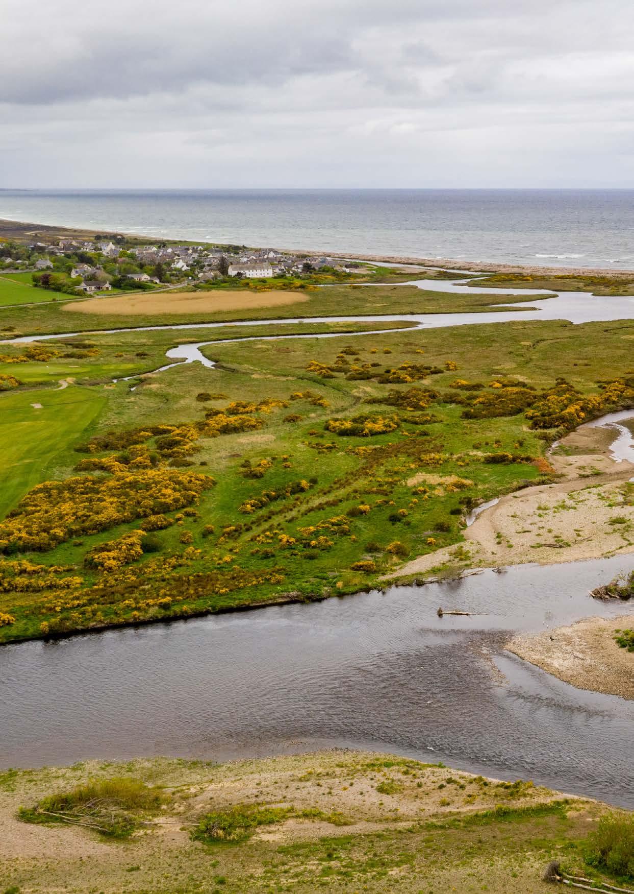
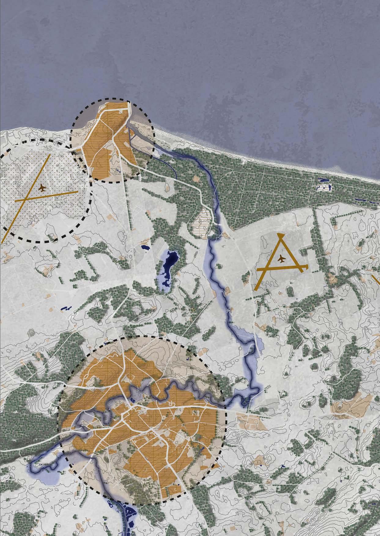
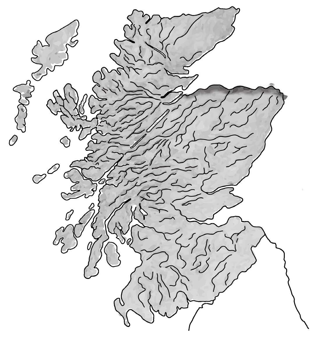
Map of the Moray area
1:150.000 N
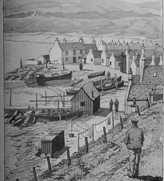
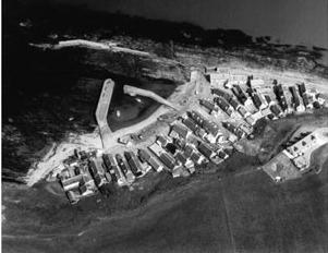
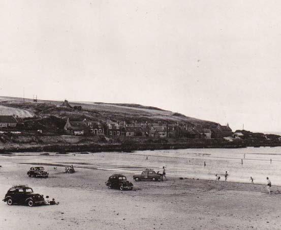
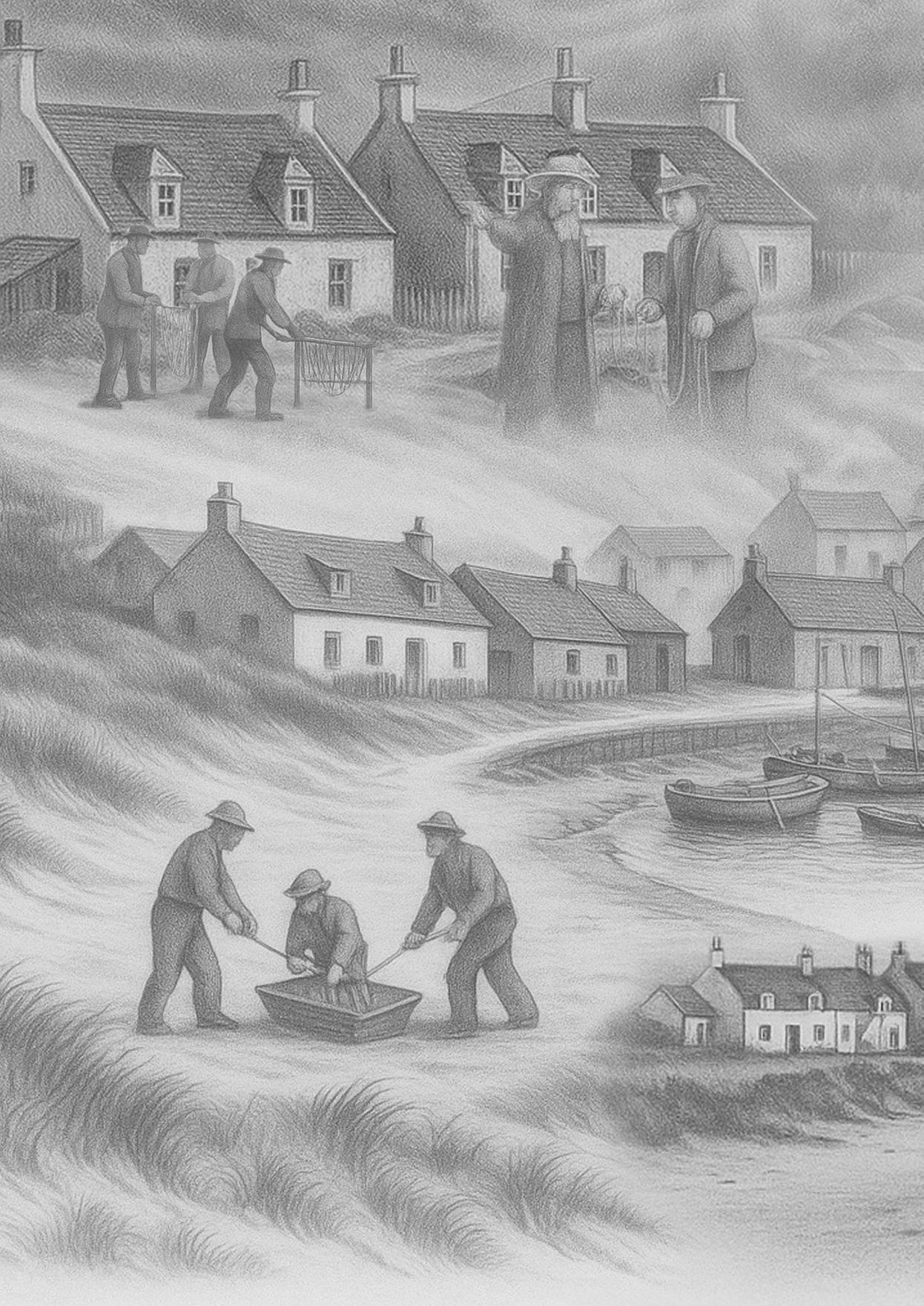
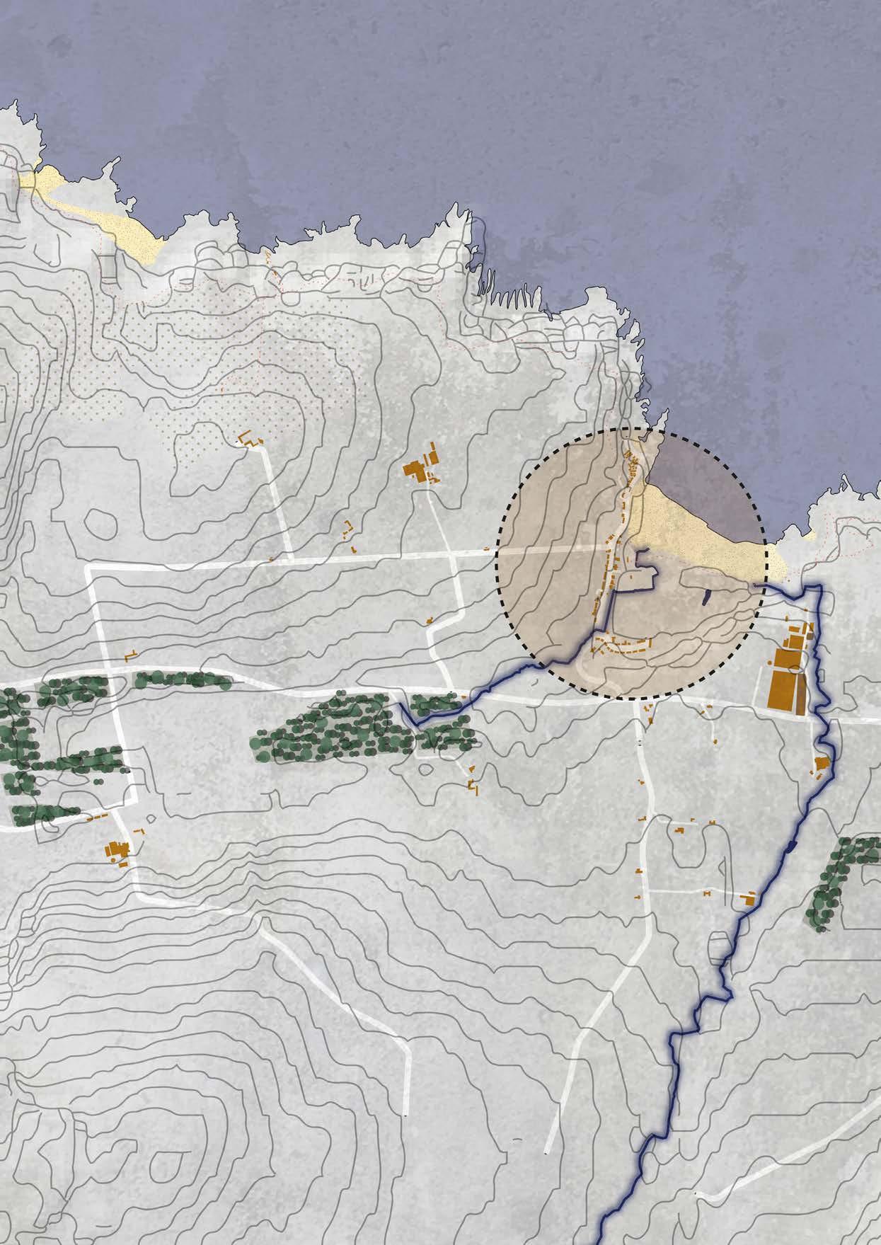
On the north coast of Scotland, at the border between Aberdeenshire and Moray, lies the small fishing village of Sandend, nestled between dunes and cliffs. The village has a long history and is one of the oldest fishing communities along this stretch of coast. The first settlement dates back to the early seventeenth century.
Sandend developed around a sheltered bay where fishing boats could find refuge from the rough North Sea. South of the present harbour, a village of white fishermen’s cottages emerged, built from locally sourced limestone. The houses stand close together, partly to break the wind, and they still define the character of the village today. Some of these houses date back to the early eighteenth century and form the oldest part of Sandend.
Old church records reveal that village life was once strictly regulated. Fishermen who baited their lines on Sundays could expect a reprimand from the Kirk Session, the governing body of the local church.
In the nineteenth century, Sandend acquired its current harbour. It provided better protection from the sea and gave the fishing industry a new impulse, while the coastline continued to change. Life in the village remained highly vulnerable. Storms, coastal erosion, and economic changes put increasing pressure on fishing livelihoods.
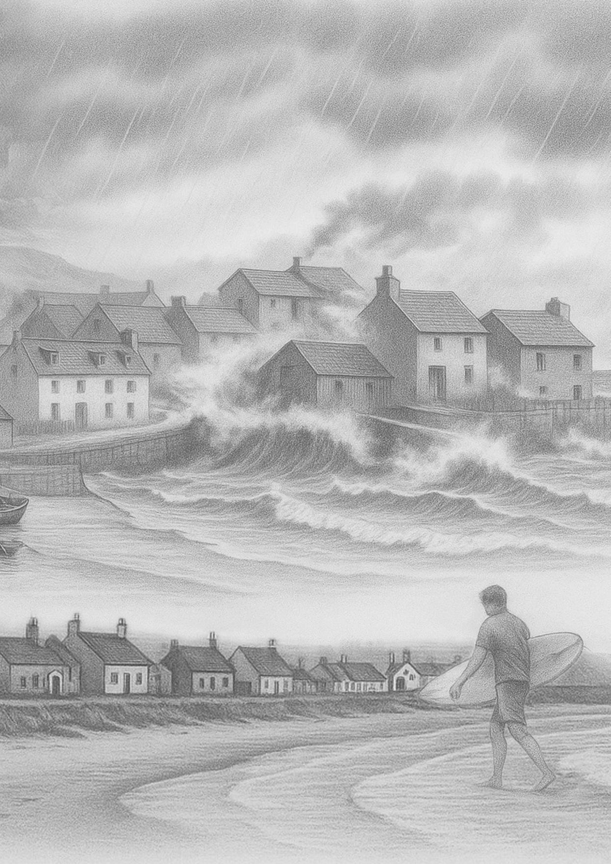
Heavy winter storms, in particular, left visible traces. According to local stories, during exceptionally severe weather, waves crashed over the quay walls, damaging storage buildings and fishing nets or sweeping them out to sea. Older residents recall how water sometimes reached the thresholds of the lowest-lying houses. These experiences eventually led to the strengthening of the harbour and the slight raising of parts of the village.
Over the course of the twentieth and twenty-first centuries, Sandend gradually changed in character. Fishing declined in importance and gave way to recreation. The wide sandy bay, from which the village takes its name, attracted increasing numbers of visitors and became a popular destination for surfers. Sandend illustrates how a small community has continually adapted to the sea and to changing times. Where fishing boats once lay, surfboards now float on the water.
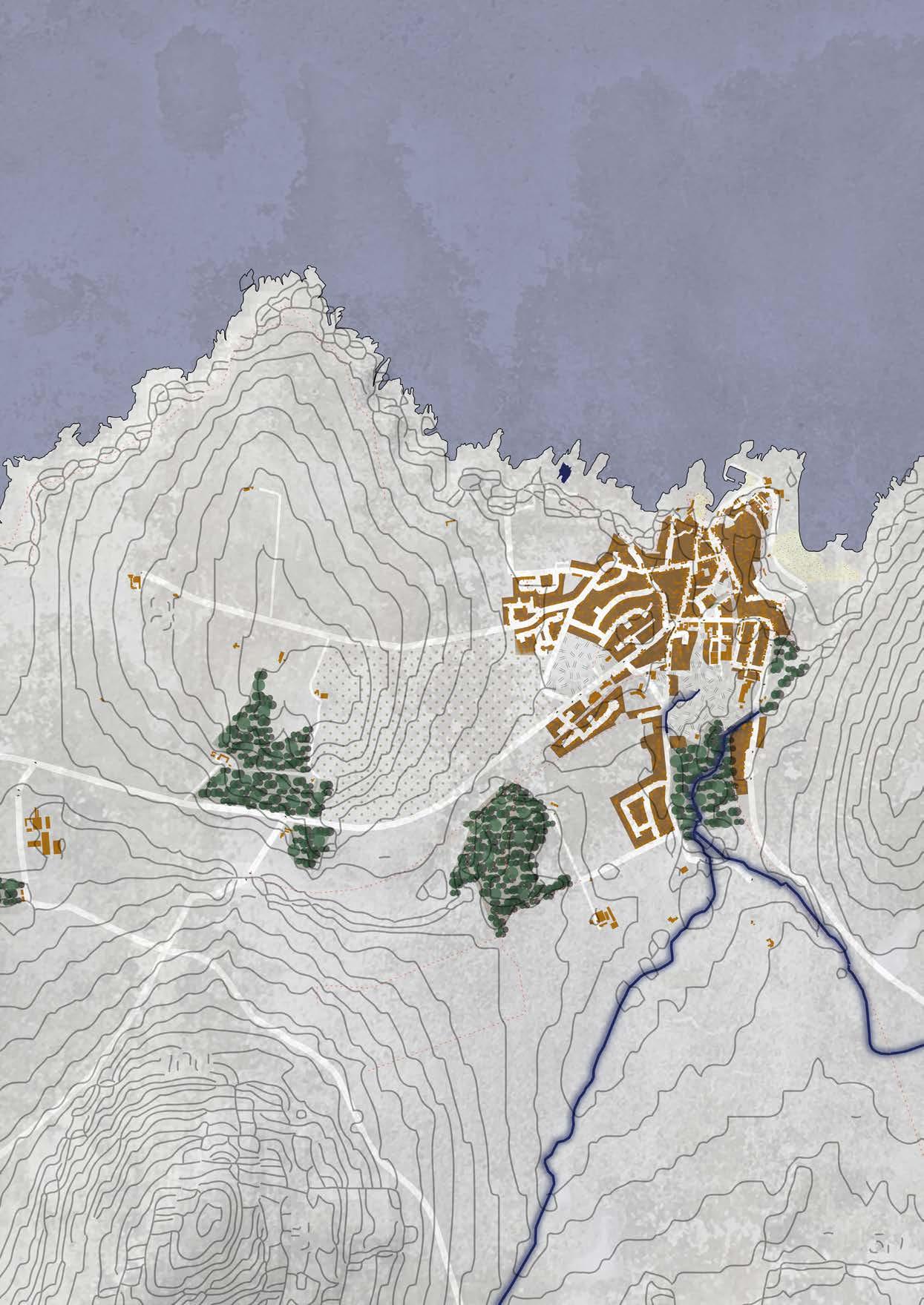

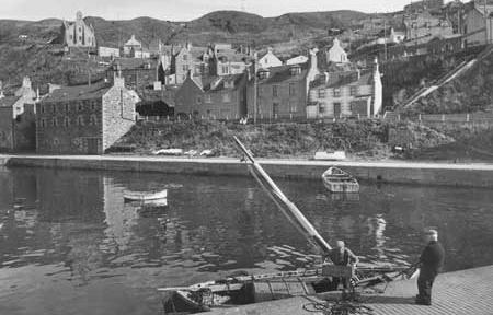
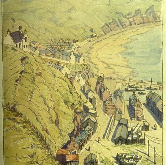

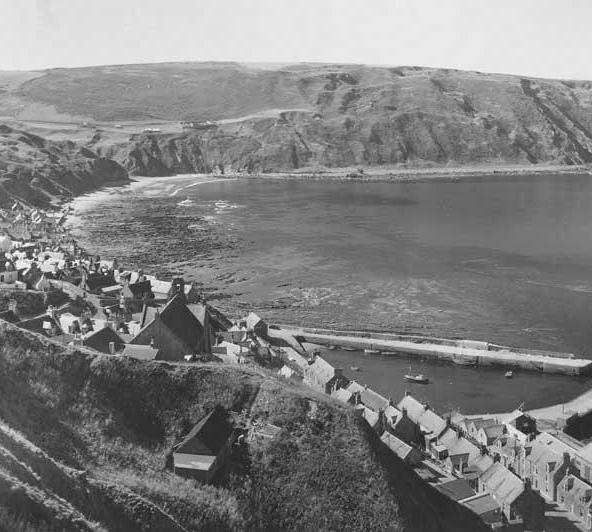
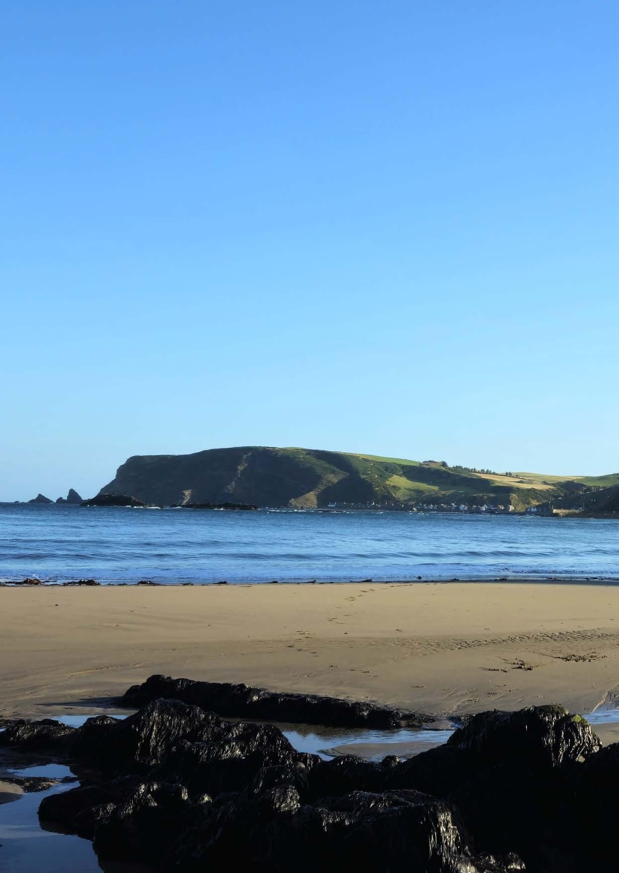
On the northeast coast of Scotland, where steep cliffs overlook the sea, lies the fishing village of Gardenstown. The village was founded in 1720 by Alexander Garden of Troup, who commissioned the construction of the first houses here. For a long time, the settlement was commonly known as Gamrie, named after the parish to which it belonged.
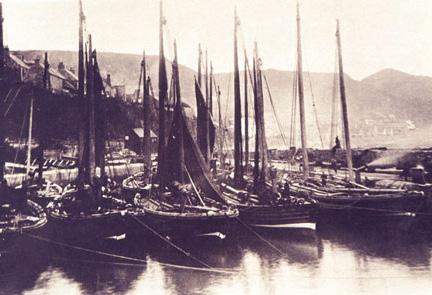
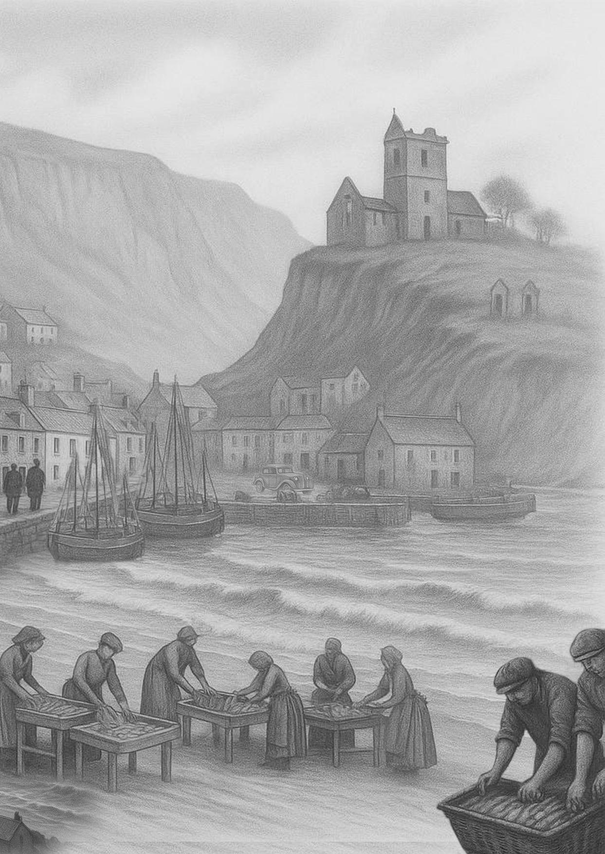
From an early stage, Gardenstown developed into a close-knit fishing community. In the eighteenth century, fishermen used shellfish as bait and were known for their craftsmanship. Fishing brought prosperity, which was reflected in the construction of stronger and better-quality houses. In 1812, the herring fishery began. By around 1839, the village had fifteen herring boats and twenty-four line boats. After the harbour was expanded in 1868, activity increased rapidly. By the end of the nineteenth century, 92 boats were active, and nearly two hundred people earned their living from fishing.
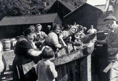
This growth also attracted other forms of work. Women worked in groups of three cleaning and packing herring. In 1880, fishermen requested a further expansion of the harbour. Shortly afterwards, the private harbour was converted into a public harbour, partly funded by a loan of £4,000. During the industry’s peak, thousands of so-called gutting quines, herring girls, were employed in fish processing.
In the twentieth century, the sector changed dramatically. With the introduction of steam trawlers and drifters, fishing became more expensive, and many fishermen could no longer afford their own vessels. They began renting boats, while larger ships moved to deeper harbours such as Fraserburgh and Macduff. By the 1920s, around fifty fishing boats remained active. After 1950, the herring fishery declined further. Today, only a few boats still operate for lobster and prawns, and the harbour is mainly used by leisure craft.
In 1953, Gardenstown was once again struck by the power of the sea. A severe storm destroyed the path to the nearby village of Crovie, leaving it largely isolated. Many houses were damaged, and Crovie was almost completely abandoned. Today, only a few people live there, and most houses are used as holiday homes.
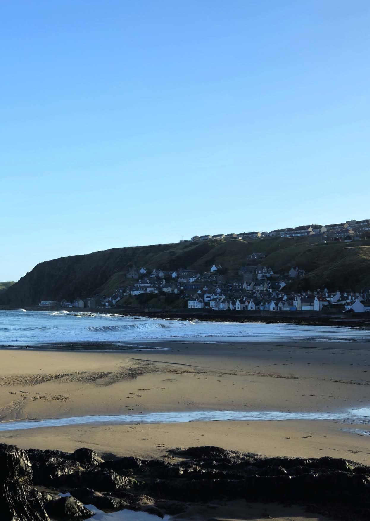
Gardenstown itself is built against a steep cliff and consists of several levels. The oldest houses are located around the harbour, while later development can be found higher up the slopes. The harbour is formed by two piers and a quay, which together provide shelter from the sea.
Just outside the village lie the old cemetery of St John and the ruins of the Church of St John the Evangelist. The church was built in 1513 and commemorates the Battle of the Bloody Pits in 1004, in which the Danes were defeated. The last burial took place here around 1930.
Although Gardenstown is a quiet place today, traces of its past are still visible everywhere. The sea has always remained present, as a source of livelihood, a threat, and an inseparable part of everyday life.
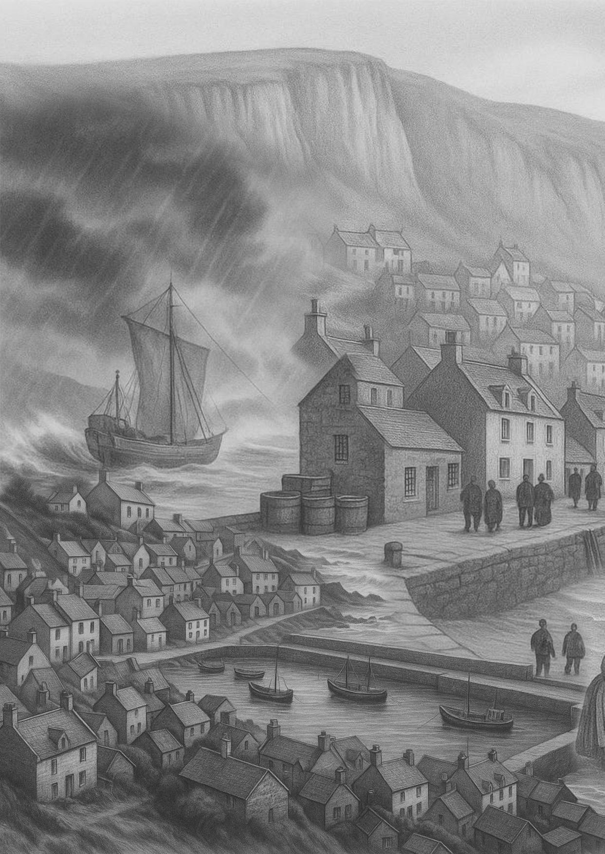
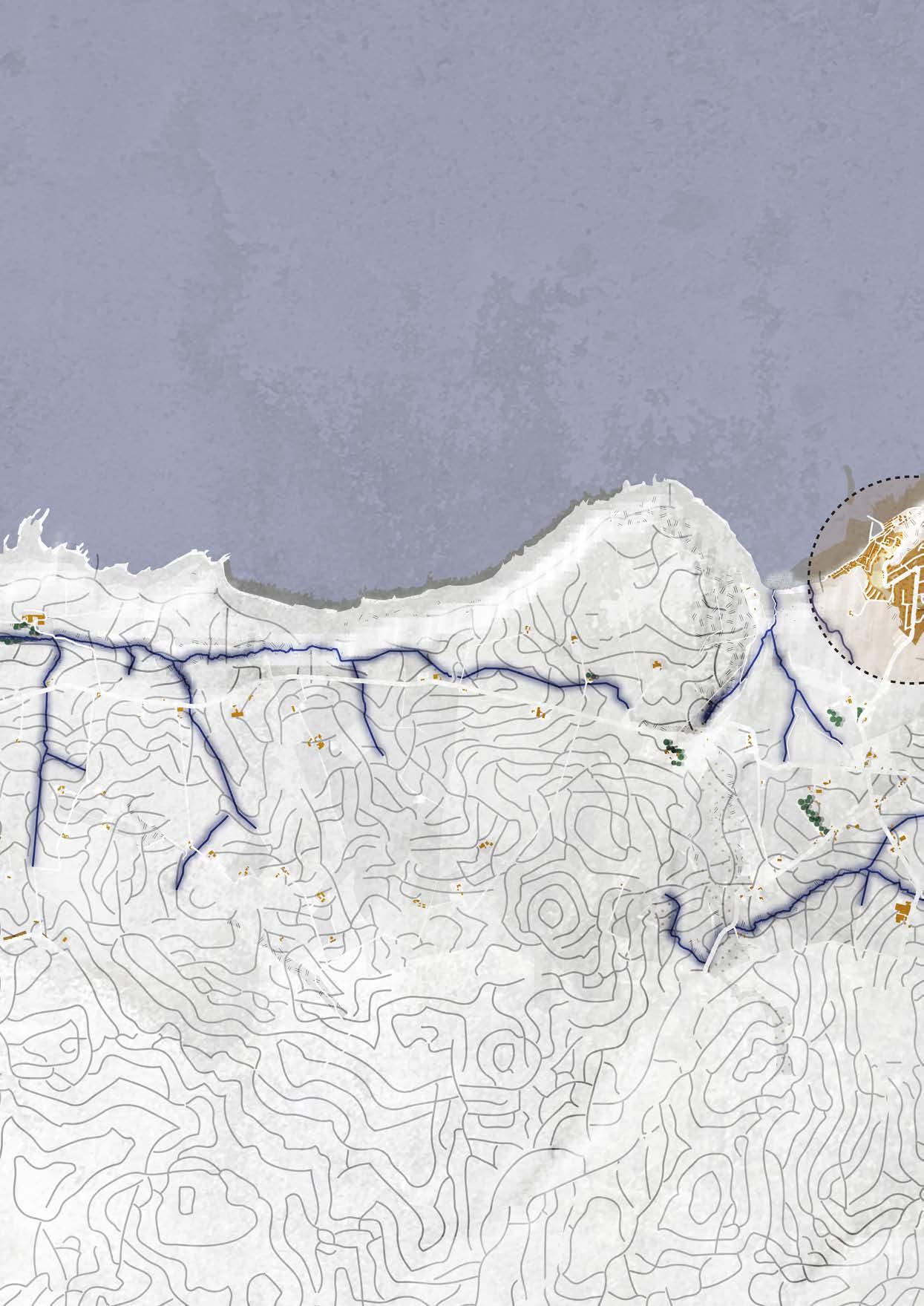
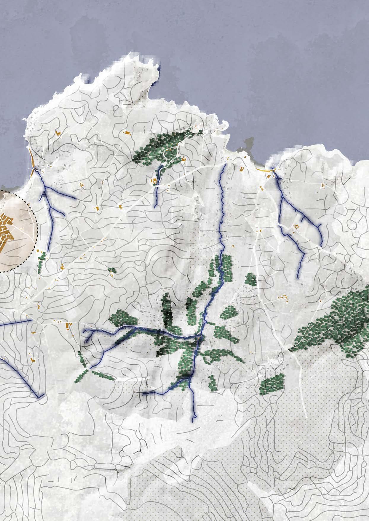
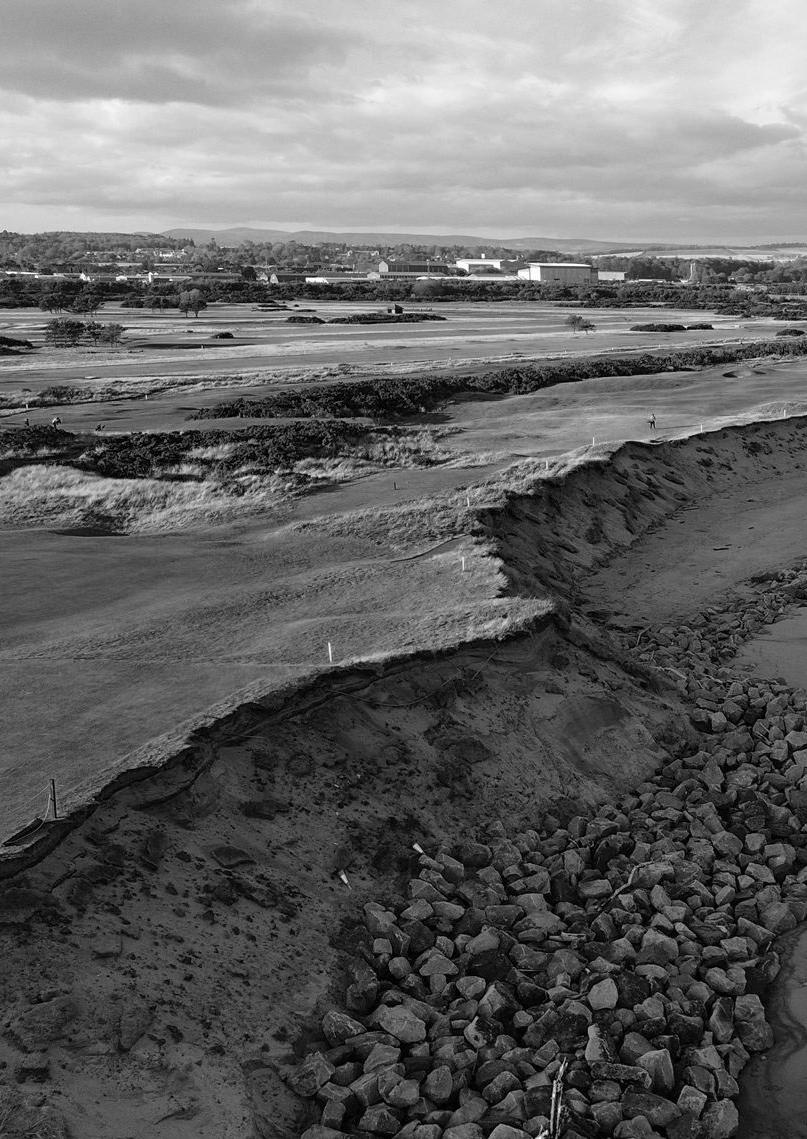
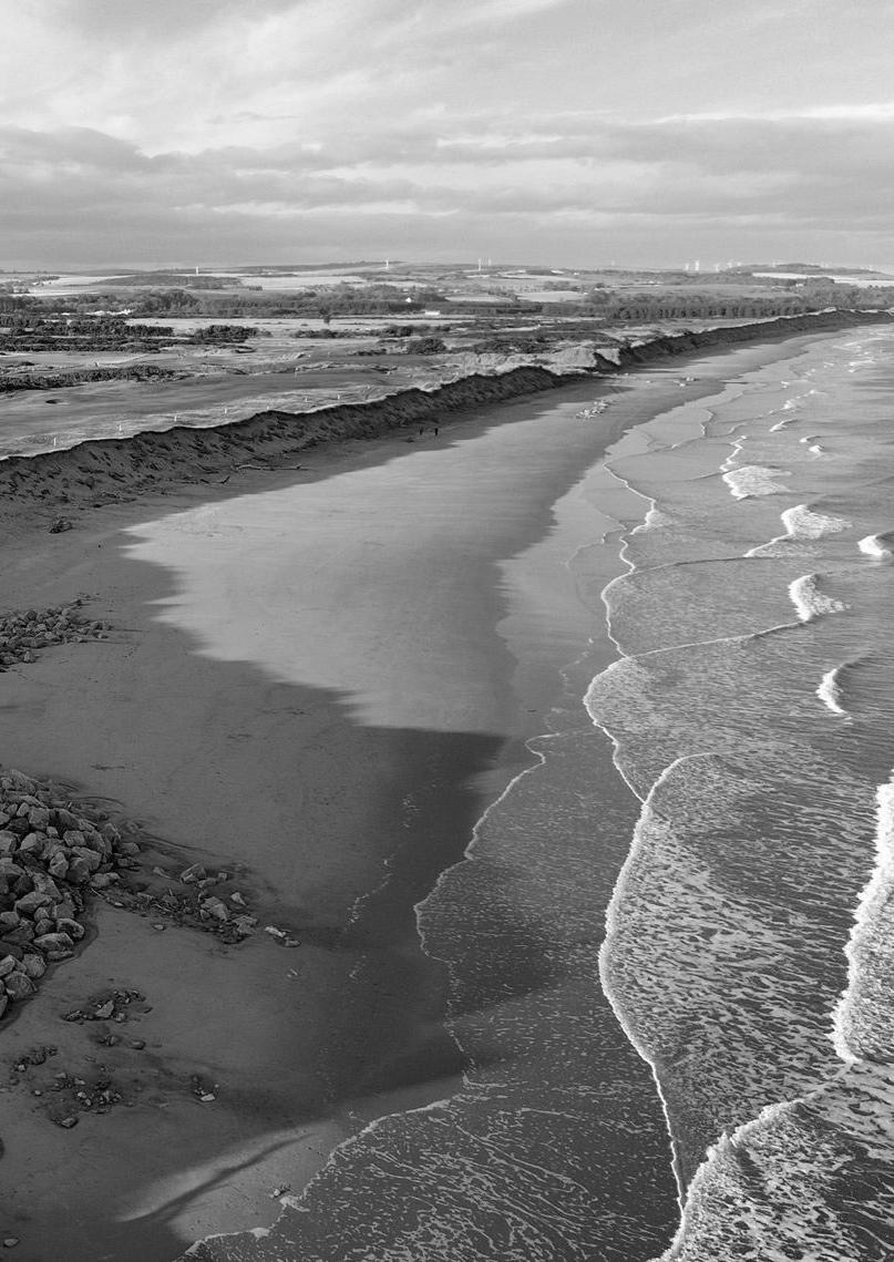
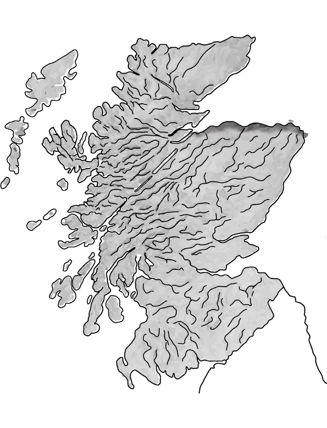
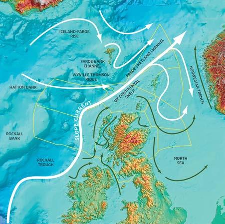
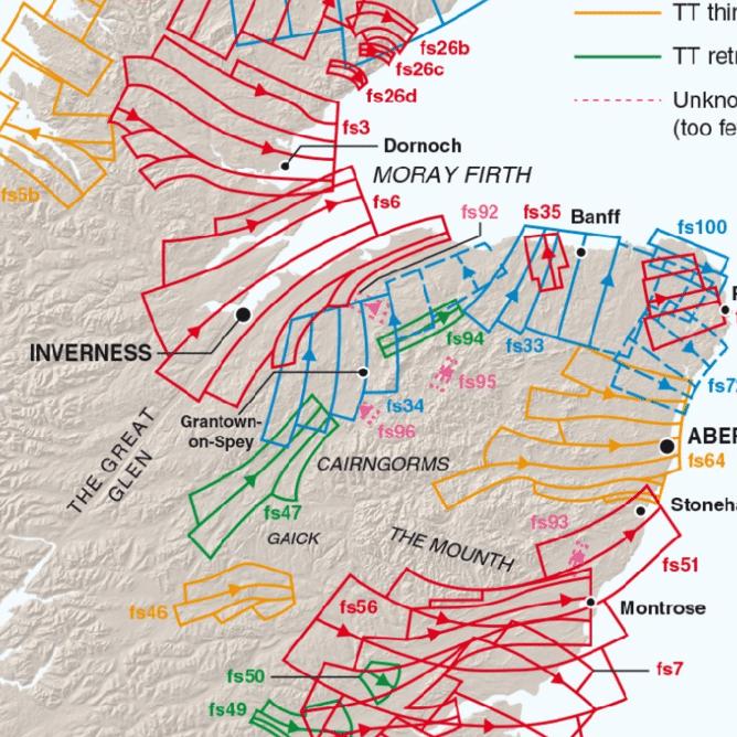
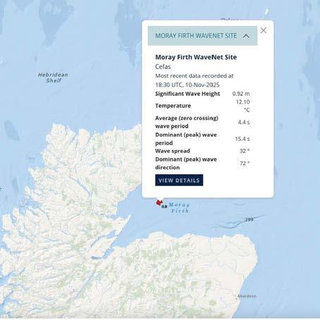
The Moray Firth is the largest sea inlet in Scotland and is located in the northeast of the country. The water cuts deep into the landscape and stretches from Duncansby Head in the north to Fraserburgh in the east, extending inland as far as Inverness.
The coastline is highly varied. In some places, steep cliffs rise directly out of the sea, while elsewhere wide sandy beaches and sheltered bays dominate the landscape.
The water in the Moray Firth is constantly in motion. Twice a day, the tides cause seawater to flow in from the North Sea and later back out again. During high tide, the water generally moves southwards into the firth, while at low tide it flows northwards towards the open sea. In some locations, these currents can be quite strong, while in others the water remains relatively calm.
The Moray Firth is well known for its rich marine life. Bottlenose dolphins live in its clear, nutrient-rich waters and can be seen here throughout the year. Harbour porpoises and seals are also common, and occasionally even orcas swim into the firth. In addition, many fish species such as herring, cod, and mackerel are found here, attracting large numbers of seabirds. Along the rocky coastline, species such as gulls and guillemots nest on the cliffs.
Because salty seawater mixes with fresh river water here, a unique ecosystem is created. Rivers such as the Spey and the Findhorn supply nutrients, making the water especially rich in life. This constant interaction makes the Moray Firth a valuable area, both for nature and for the landscape.
FladenandMorayFirthOMR|Scotland’sMarineAssessment 2020 MarineScotland
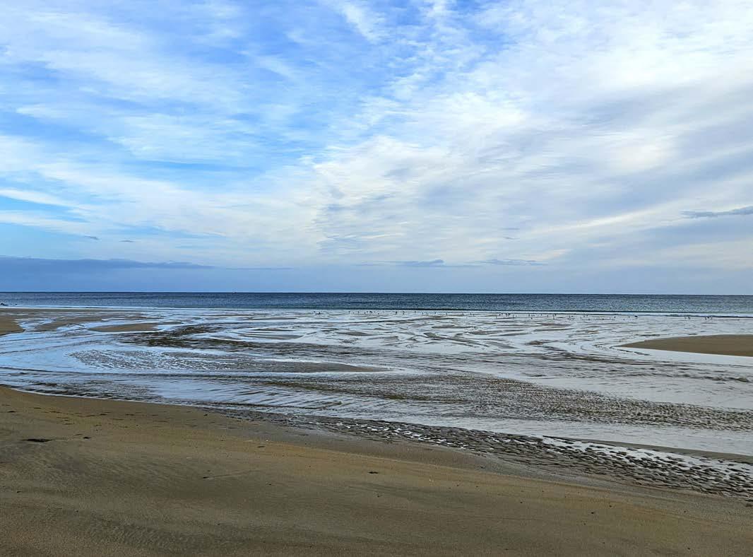
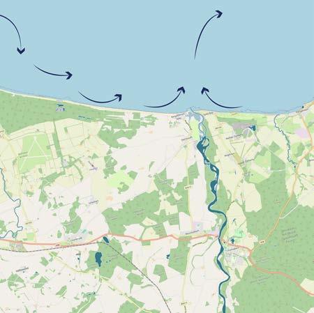
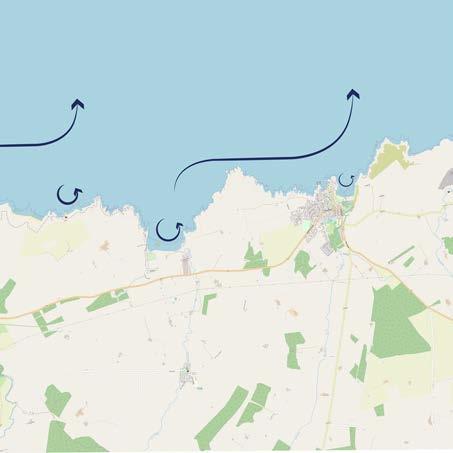
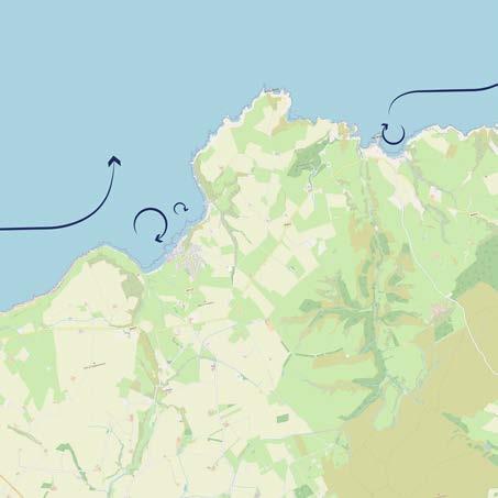
The tides and currents in the Moray Firth are relatively strong and keep the available sediment in constant motion. Because only limited new material is supplied—for example by rivers—sediment has little opportunity to accumulate. As a result, the seabed mainly consists of older layers deposited during the Ice Age, with only a thin layer of younger sand or silt on top.
Along the Moray coast, water movement is particularly active. The River Spey does transport sediment, but due to the strong currents this material is largely carried out to sea. Only a small portion remains temporarily along the coast before being transported away again.
Towards Sandend, both currents and wave action continuously move sand and gravel. As a result, there is hardly any permanent sand layer on the beach. Whatever material is deposited is often quickly removed again by the influence of water and wind.
Near Gardenstown, seawater mainly enters the bay along the eastern side. There, it meets the rocky platform (abrasion platform) in front of the village, causing part of the sediment to be pushed back towards deeper water. Only a small amount temporarily settles on the western side of the bay. During high tide, the sea floods this area again, and most of the accumulated sediment disappears.
As a result, the coastline of the Moray Firth is in constant motion. Erosion and the transport of sand and gravel take place every day. Because rivers supply little sediment or carry it away quickly, the coast has little opportunity to grow. Currents, wind, and tides therefore continue to shape and reshape the landscape.
Devonian Desert, lakes, riverbeds and floodplains, Sedimentary Precambrian (Dalradian) Originally shallow and deep ocean floor, then deep in the Earth’s crust, Metamorphic
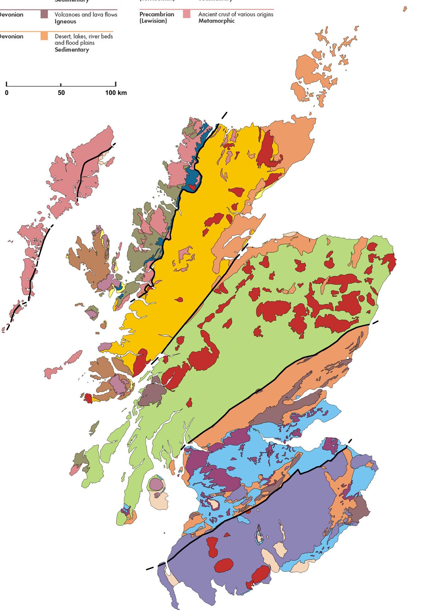
Northwest Highlands
Central Lowlands
NationalLibraryofScotland&NatureScot.(z.d.).GeologicalmapofScotland. NationalLibraryofScotland.
Southern Uplands
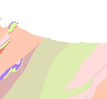
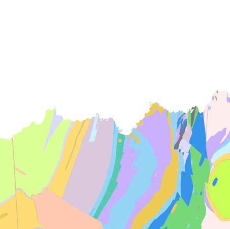
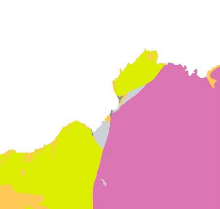
The Scottish landscape rests on a bedrock that represents more than three billion years of geological history. Along the coast, this history is clearly visible: the rocks reveal how the landscape has been shaped over time.
In the Moray region, the cliffs consist primarily of ancient rocks such as sandstone and slate. These layers were deposited hundreds of millions of years ago on the bottom of a shallow sea. Later, they were pushed up and deformed during periods of mountain building. As a result, the layers now often lie tilted or even upright in the cliff face.
At Sandend, the rock layers are nearly vertical. This is the result of enormous forces during the Caledonian orogeny, some 450 to 390 million years ago, when tectonic plates collided. The rock was then compressed and pushed up, a phenomenon still clearly visible today.
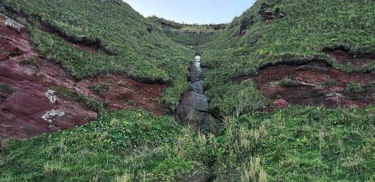
The coast near Gardenstown consists primarily of red sandstone from the Old Red Sandstone period, approximately 400 million years old. These layers formed in an ancient river landscape with a warm and dry climate. Later movements of the Earth’s crust tilted and fractured them, making the red rock layers conspicuous in the steep cliffs.
NatureScot.(z.d.).ThreebillionyearsofEarth’shistory.
Alluvial soil
Calcareous soil
Brown soils
Humus-iron podzols
Immature soil
Water
Magnesian soil
Mineral gleys
Montane soil
Peat
Peat-rich gleys
Peat-rich podzols
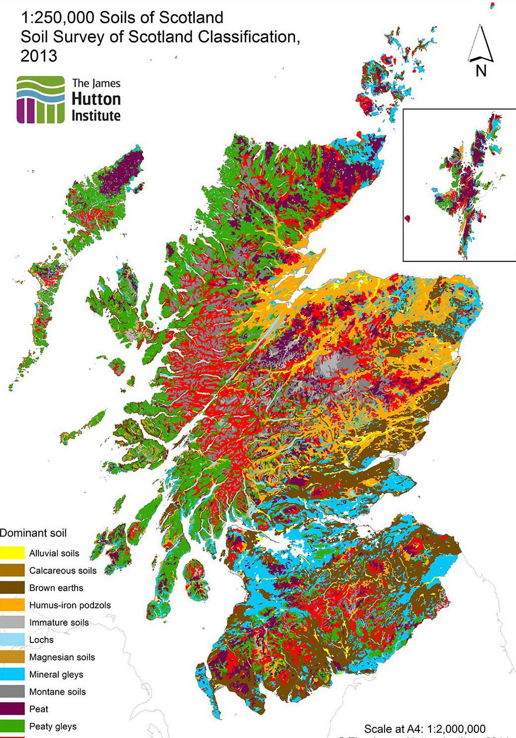
TheJamesHuttonInstitute.(2013).1:250,000SoilsofScotland: SoilSurveyofScotlandclassification.
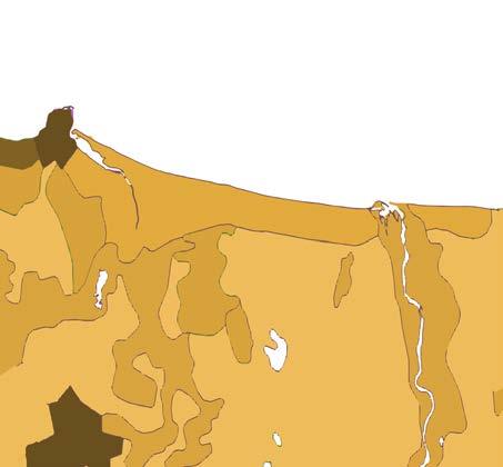
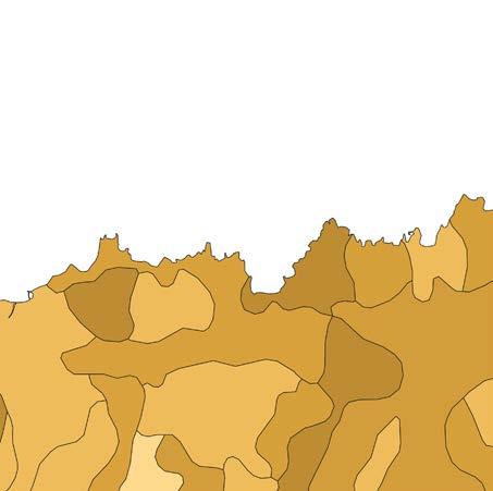
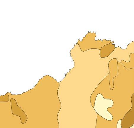
The soils in Scotland have been shaped by a combination of geology, climate, and elevation. Due to the cool and wet climate, many soils contain relatively high levels of organic matter, but at the same time they are often acidic and low in nutrients. More fertile soils suitable for agriculture are found in lower-lying areas, while peat is mainly found in higher and wetter locations.
In the Moray area, soils mainly consist of sand and gravel. These soils were formed by deposits from rivers and meltwater during past ice ages. They are well drained and dry out quickly, making them suitable for arable farming and grassland along the coast.
Around Sandend, soils are composed of coastal and marine sediments, mixed with gravel and material from the hinterland. They are light and well draining, but contain little organic matter. Thanks to the mild maritime climate, grass and low vegetation are still able to grow.
Near Gardenstown, soils are strongly influenced by the underlying red sandstone. This often gives the soil a reddish-brown colour due to the presence of iron. The soils are moderately fertile and are mainly used as grassland or for small-scale agriculture. On the slopes, they are thin and stony, while deeper soils have developed in the lower-lying areas.
NatureScot.(z.d.).ThreebillionyearsofEarth’shistory. ScottishGovernment.(2024).Oursoils–Scotland’ssoils.

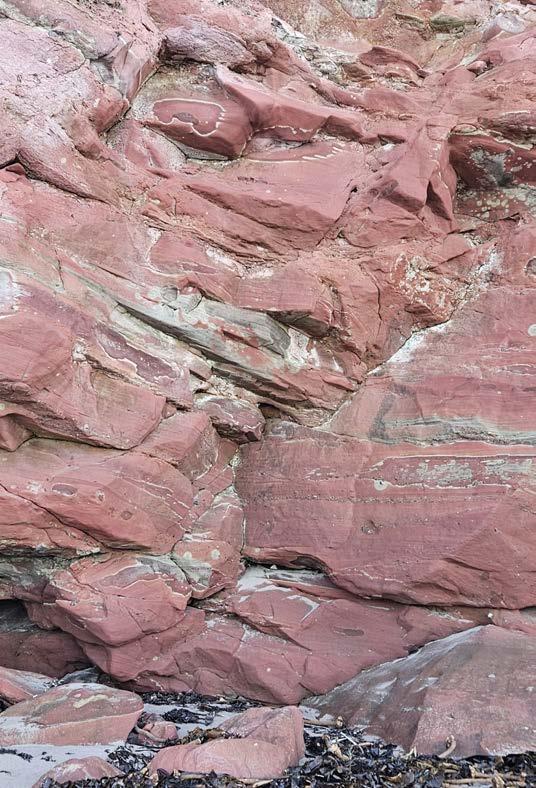
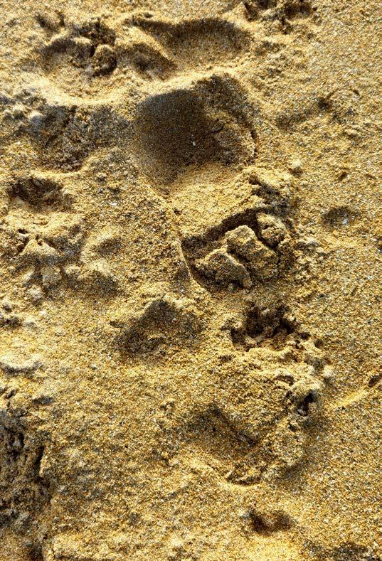
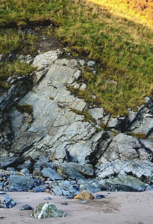
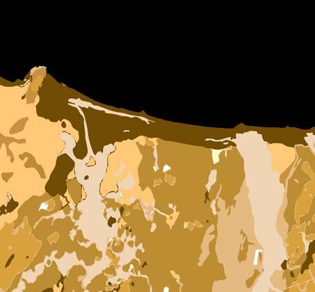
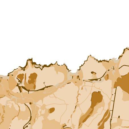
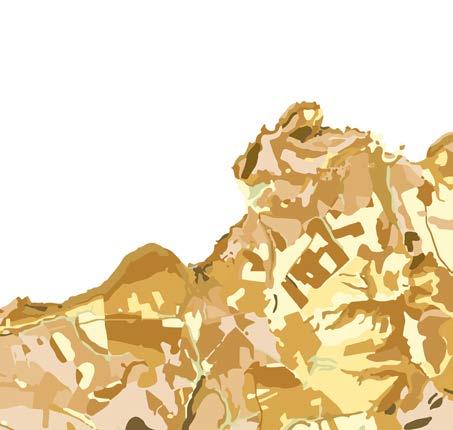
Much of Scotland’s landscape was shaped during the Ice Ages. During the Pleistocene, vast glaciers covered large parts of the country. They carved deep valleys, formed rounded mountain basins, and left behind long lochs. When the ice melted, rivers and the sea took over, creating new terraces, hills, and coastlines.
In the Moray area, the landscape is now open and gently rolling. Ancient glacial valleys run towards the sea and were later filled with sand and gravel. Because the land slowly rose after the Ice Age, former coastlines now lie slightly above the present sea level. This has resulted in wide beaches and gentle slopes along the coast.
Around Sandend, the landscape is much more rugged. Here, the sea has eroded hard rock into steep cliffs. After the disappearance of the ice, wind and waves transported sand and gravel along the coast, creating a varied landscape of rock, beach, and dunes.
Near Gardenstown, the sea has carved deep inlets and cliffs into the red sandstone. After the Ice Age, these forms were further smoothed by ongoing erosion. The cliffs and valleys still clearly show how ice and water together shaped the coastal landscape, and how these processes continue to this day.
Gordon, J. E., & Ballantyne, C. K. (2021). Landscapes and landforms of Scotland: a geomorphological odyssey. In C. K. Ballantyne&J.E.Gordon(Eds.),Landscapesandlandformsof Scotland(pp.1-11)
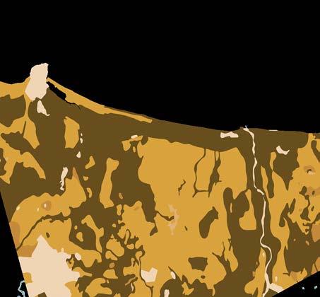
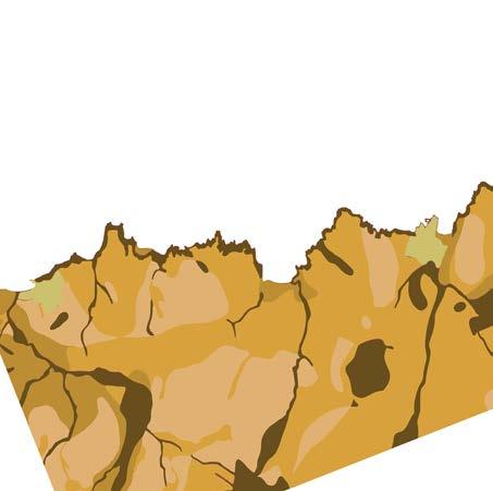
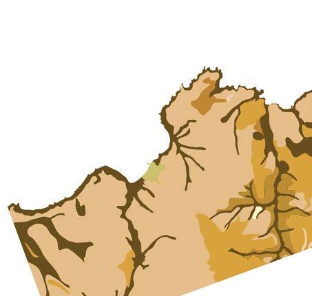
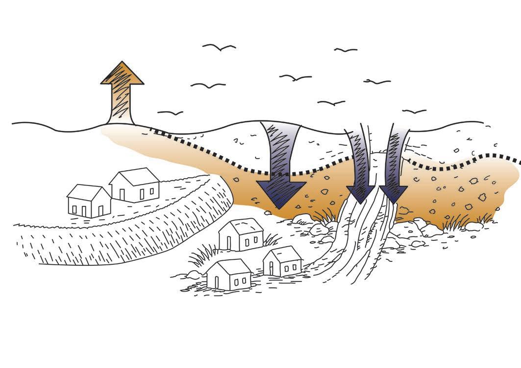
In Scotland, soil leaching occurs regularly. During heavy rainfall or on exposed slopes, the topsoil can easily be washed away.
In the Moray area, the coastal landscape is particularly vulnerable. Sandy and gravel-rich soils are relatively loose and therefore sensitive to erosion, especially when vegetation is sparse or when storms transport material towards the sea. Research shows that catchments draining into the Moray Firth are delivering increasing amounts of eroded sediment.
Around Sandend, soils largely consist of weathered coastal and marine sediments. The sandy structure allows water to pass through quickly but retains it less effectively. As a result, the soil is especially prone to leaching during heavy rainfall or stormy conditions. Although no specific data are available for Sandend, this soil type falls within the risk areas identified on national maps of the Scottish coast.
Similar processes also occur near Gardenstown. Here, soils have developed from red sandstone and often consist of thin, stony layers, particularly on the slopes. When vegetation is lost or disturbed in these areas, the topsoil can be washed away rapidly. These processes fit within the broader pattern of ongoing change along the northeast coast of Scotland.
Environment&ClimateChangeScotland.(2024,9oktober).
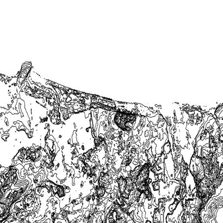
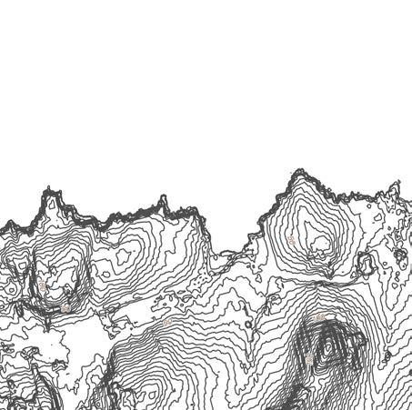
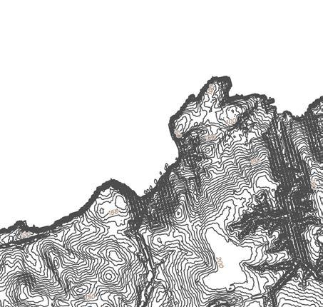
Scotland shows great variation in elevation. In the north and west lie the rugged Highlands, with mountains rising above 1,300 metres. The east and south, by contrast, consist of lower and more gently shaped landscapes. These contrasts are the result of a long history of mountain building, erosion, and glacial activity. During the Ice Ages, mountains were worn down and valleys were deepened, leading to today’s landscape of broad valleys, plains, and coastal terraces.
The Moray area forms a relatively low and open landscape. The coastline lies almost at sea level, and the land rises gradually towards the hinterland, reaching heights of around 200 metres. This gentle transition creates wide views and makes the area suitable for agriculture.
Around Sandend, the terrain becomes somewhat steeper. Along the coast, cliffs rise to about 30 metres in height, making the difference between sea and land clearly visible. Immediately behind them lie low dunes and gently sloping hills, shaped by wind and water.
Near Gardenstown, elevation differences are most pronounced. Here, red sandstone cliffs rise to over 200 metres above sea level. Beyond them lies a hilly landscape, cut by narrow valleys that run towards the sea. This creates a layered landscape with views over the Moray Firth.
Together, Moray, Sandend, and Gardenstown illustrate how the relief along the northeast coast of Scotland gradually changes, from a flat coastal plain to steep cliffs rising high above the sea.
NatureScot.(z.d.).Coastalcliffs ScottishGeologyTrust.(z.d.).MorayandCaithness–Landscape fashionedbygeology.
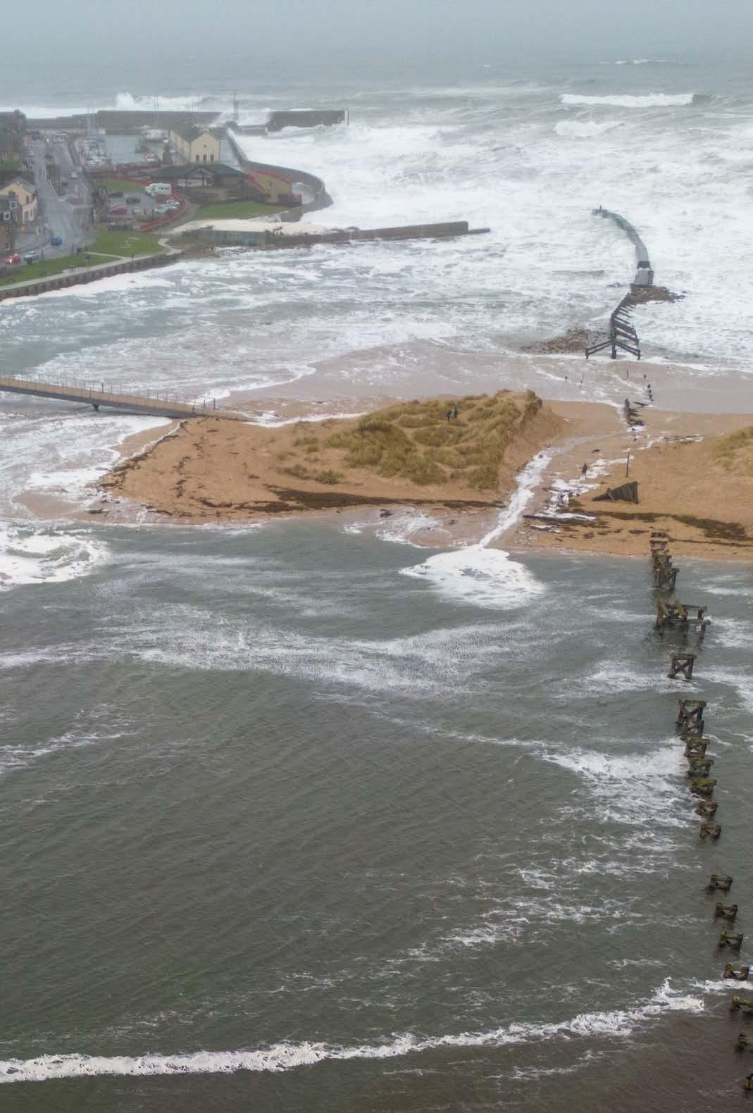
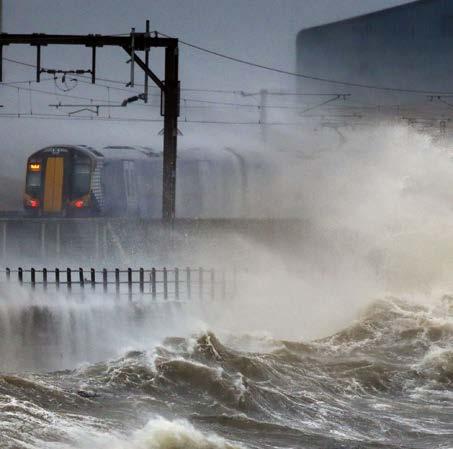
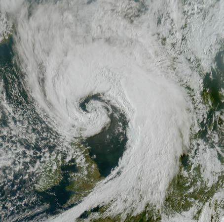
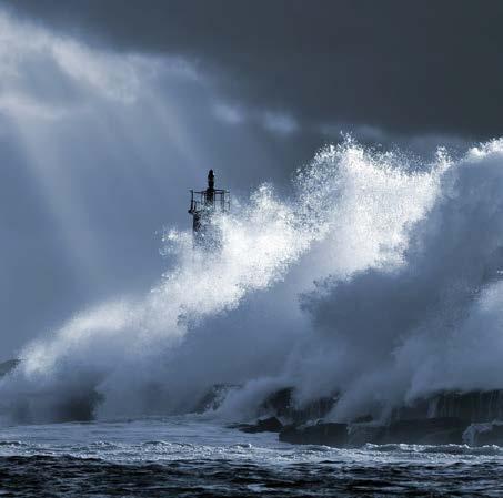
A storm is a period of extremely unsettled weather, characterised by strong winds and often accompanied by rain, snow, hail, or thunderstorms. Storms develop when warm, moist air rises and cools, or when large pressure differences occur at the Earth’s surface. In areas of low pressure, air flows in from surrounding high-pressure areas, generating strong winds.
When these conditions come together—such as the supply of moist air, rapid uplift (convection), and strong vertical air movement—a storm system can develop, producing clouds, precipitation, and sometimes thunderstorms. A storm itself is not a depression, but it often forms along the edges of a deep low-pressure system, where the pressure difference between high and low pressure is greatest. Every storm is associated with a depression, but not every depression results in a storm.
In Scotland, storms usually develop when a lowpressure system moves from the Atlantic Ocean towards the British Isles. This brings warm, moist air that rises and cools, which can lead to strong winds and heavy rainfall. If air pressure drops rapidly over a short period—a phenomenon known as explosive cyclogenesis—wind speeds can become exceptionally high.
Occasionally, the remnants of tropical hurricanes also reach Scotland. Although they lose much of their strength over the ocean, they can still cause very strong wind gusts as extratropical storms.
The impacts of storms are often clearly visible. Along the coast, strong winds and high waves accelerate the erosion of cliffs and beaches. Inland, trees may be blown down, infrastructure can be damaged, and heavy rainfall can lead to flooding.
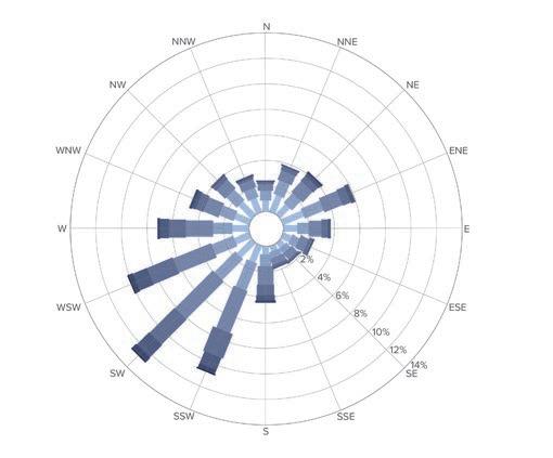
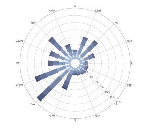
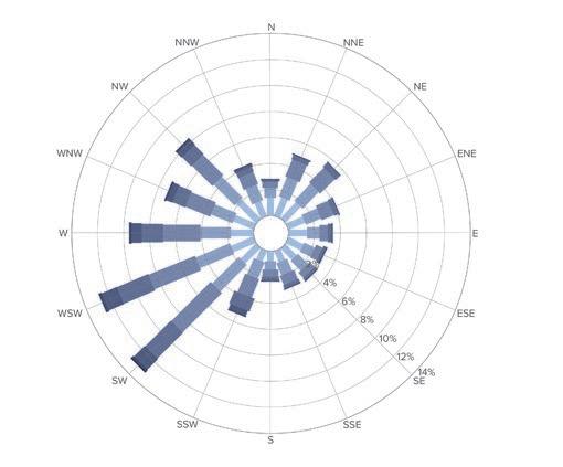
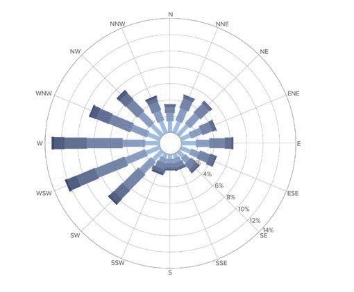
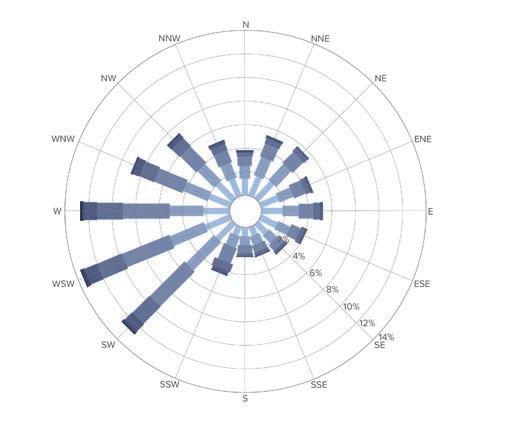
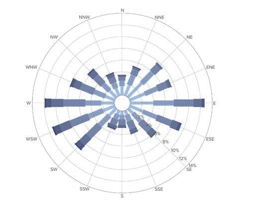
Due to climate change, the oceans are warming, which affects weather patterns worldwide. Warmer seas make storms stronger and more frequent. Under the right conditions, a low-pressure system can therefore develop more rapidly into a severe storm. A storm is only given a name when there is a real risk to people or infrastructure.
In Scotland, an average of about six named storms occur each year. This number is expected to rise to around nine per year in the future, with average wind speeds of approximately 140 km/h.
For coastal areas, this has major consequences. Coastal soils are vulnerable to both water and wind erosion, meaning that land can be lost at a rapid pace. Stronger and more frequent storms accelerate this erosion process.
Over the past seven storm seasons (2018–2025), a total of 45 storms were recorded, averaging 6.5 storms per season. Average wind speeds were around 140 km/h, but a clear increase is already visible.
Storm Ashley (20–21 October 2025) brought heavy rainfall and strong winds.
Storm Bert (22–25 November 2025) caused widespread flooding.
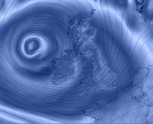
Storm Éowyn (24 January 2025) was the most severe storm in decades, with wind gusts reaching up to 183 km/h—speeds not recorded since 1945.
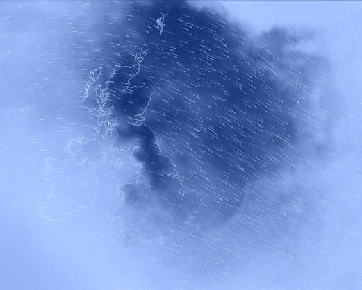
In a single day, 82.4 mm of rain fell, almost as much as the average autumn rainfall in the Netherlands.
Storm Floris (4 August 2025) broke this record with wind gusts of up to 200 km/h and extreme rainfall.
Such storms bring enormous volumes of water. As the climate continues to warm, Scotland is expected to experience more frequent and more intense rainfall. All this water must be discharged through rivers, which will increasingly overflow their banks. This risk is especially growing in the Moray area, along rivers such as the Lossie and the Spey.
In addition, the likelihood is increasing that remnants of tropical hurricanes, weakened over the Atlantic Ocean, will more often be deflected towards Europe. This phenomenon is currently being studied using detailed climate models.
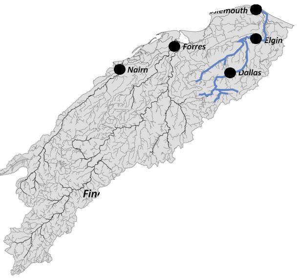


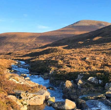
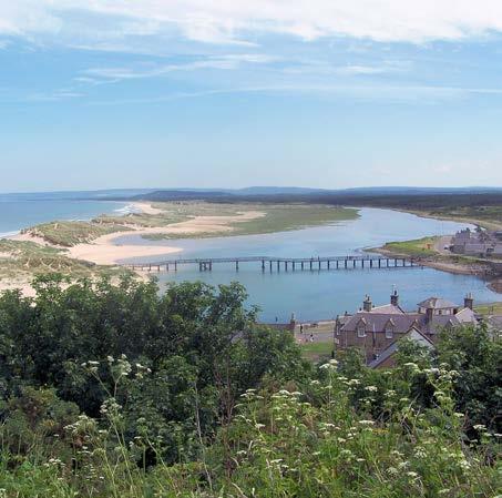
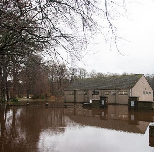
The River Lossie rises in the hills near Dallas, where several small streams come together at an elevation of around 400 metres. From there, the river flows northwards through a catchment area of approximately 215 square kilometres, eventually discharging into the Moray Firth at Lossiemouth.
Although the Lossie catchment is relatively small, the river responds quickly to rainfall and meltwater. Under normal conditions, the water level is around 0.20 metres, indicating a fairly stable discharge. The lowest recorded level was 0.17 metres in 1990. In contrast, an extreme peak occurred on 16 November 2002, when the water level rose to nearly 3.75 metres.
In the future, the Lossie is likely to play an increasingly significant role in flooding within the region. Due to climate change and more intense storms, large amounts of rainfall are falling more frequently within short periods of time. This particularly increases the risk of the river overtopping its banks in the lower part of the valley, towards Elgin. Saturated soils and high peak discharges can lead to faster and more severe flooding than in the past.
If the current trend of warmer oceans and heavier storms continues, it is likely that the Lossie will reach extreme water levels more often in the future, especially in the coastal area near the river mouth.
ScottishEnvironmentProtectionAgency(SEPA)
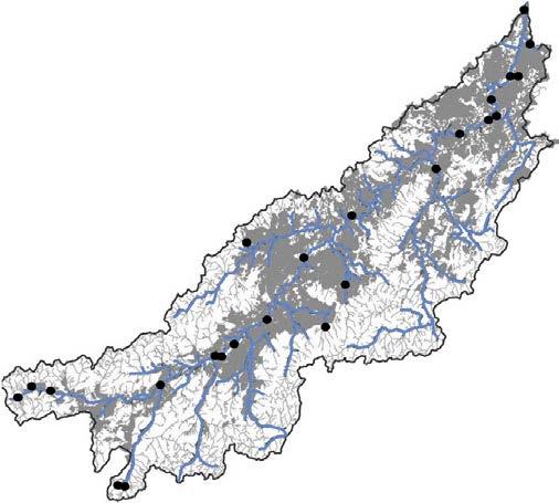
A discharge of 672 m³/s through a riverbed of only 40 metres wide creates a so-called bulldozer effect, exerting large forces on the riverbed and causing significant erosion.

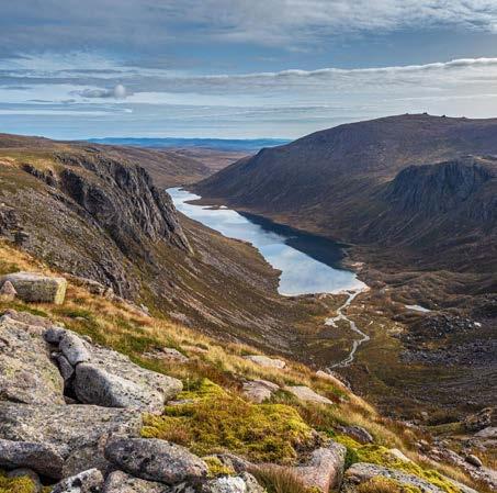
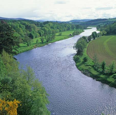
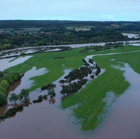
The River Spey, with a length of approximately 172 kilometres, is the second-longest river in Scotland. It rises in the Monadhliath Mountains near Loch Spey in the Highlands, at an elevation of around 350 metres above sea level. From there, the river flows in a north-easterly direction through Badenoch, Strathspey, and Moray, before eventually discharging into the Moray Firth at Spey Bay. With a catchment area of approximately 3,000 square kilometres, the Spey is one of the largest and most influential rivers in the country.
Water levels in the Spey vary greatly along its course. In the upper reaches, a record high of 5.971 metres was measured on 5 December 2015. In the middle reaches, the highest recorded level was 2.880 metres, registered in February 1990. Near the river mouth, at Fochabers, a water level of 3.559 metres was reached in August 1970. The lowest recorded levels fell below zero, illustrating how strongly the river’s water levels can fluctuate.
Under normal conditions, the wide river channel— reaching up to one kilometre in width in some locations—can accommodate large volumes of water, up to approximately 670 cubic metres per second. In other sections, however, the channel narrows significantly, sometimes to only 40 metres. During periods of extreme rainfall or meltwater input, this can lead to bottlenecks, causing water levels to rise rapidly and increasing the risk of local flooding.
In light of climate change and the expected increase in heavy rainfall and storms, these constrictions along the river are likely to play an increasingly important role in the future. Especially during prolonged rainfall or sudden meltwater peaks, there is a growing risk that the Spey will overflow its banks more frequently, with consequences for villages along its middle and lower reaches.
ScottishEnvironmentProtectionAgency(SEPA)
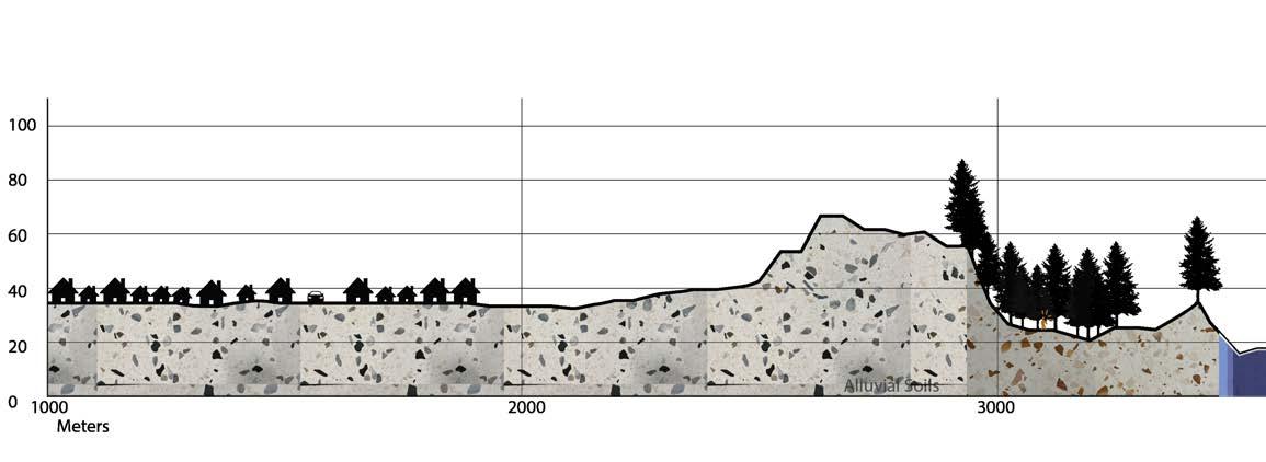
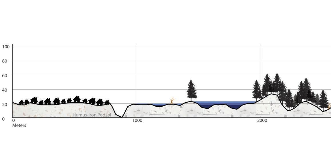
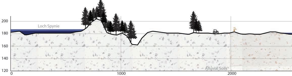
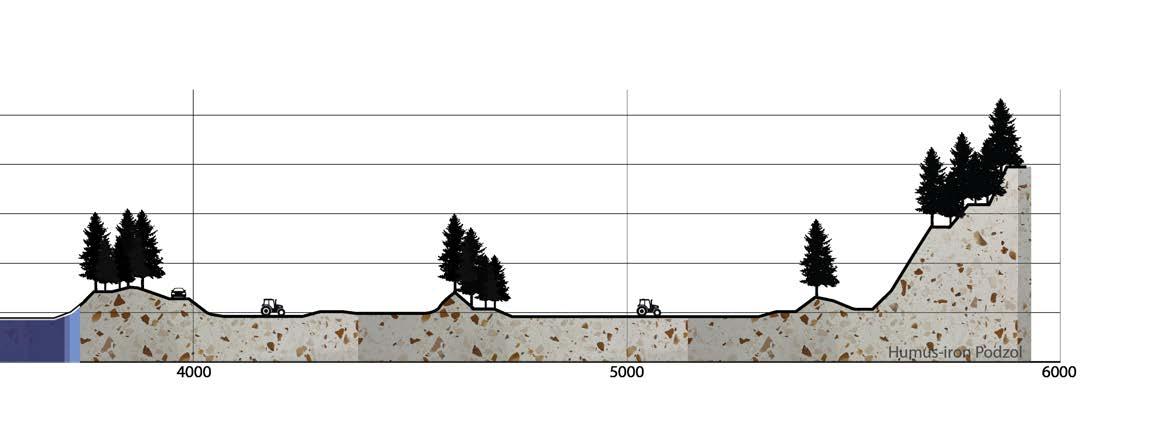
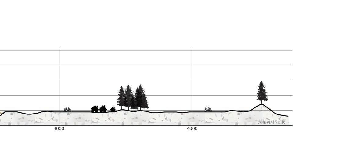
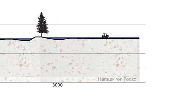
LEGEND
A storm surge level of +13.8 m NAP is expected in 2100. Sea level will rise to +3.5 m NAP, with a storm surge of +1.5 m, waves averaging +1.5 m, and peaks of up to 7.3 m.
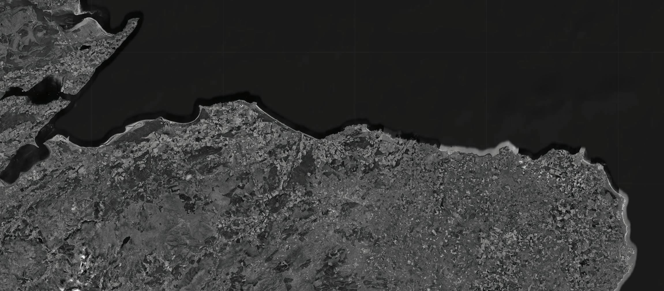
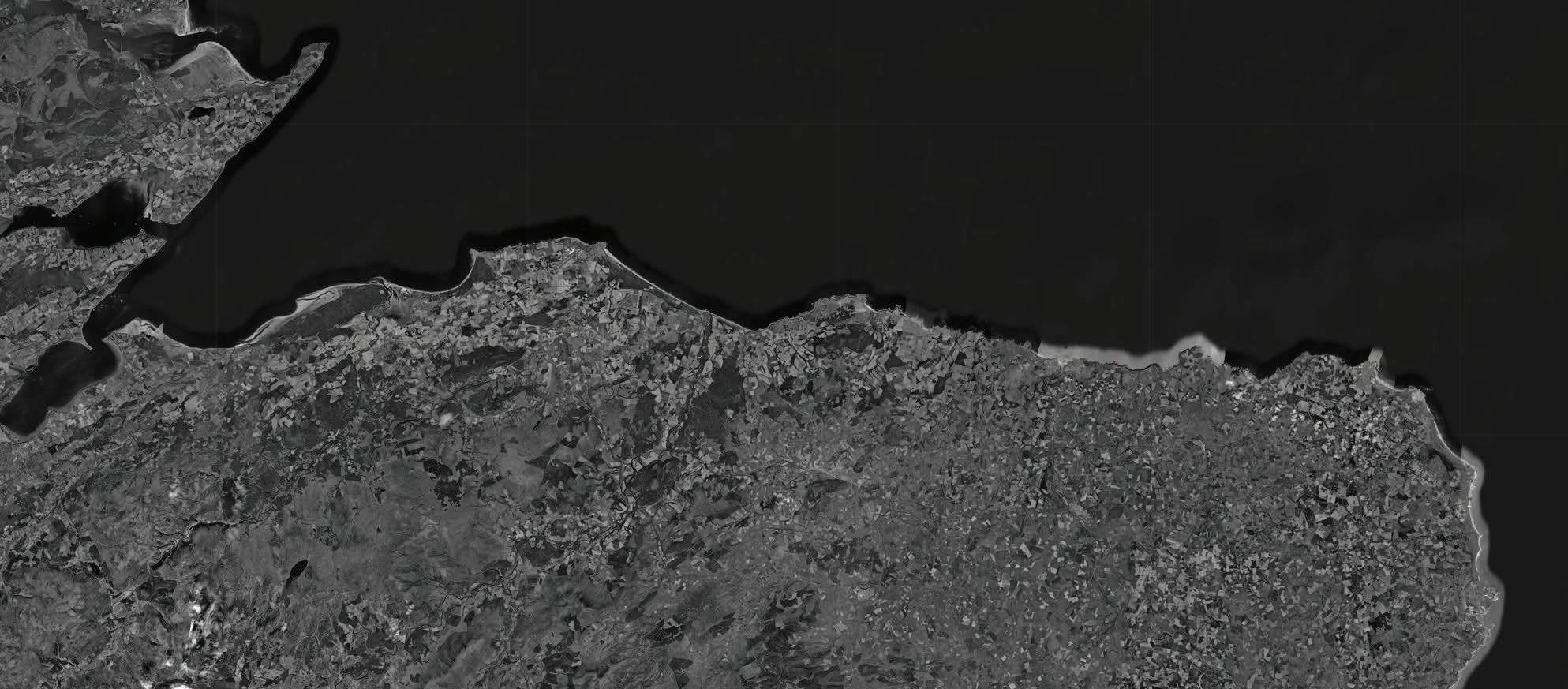
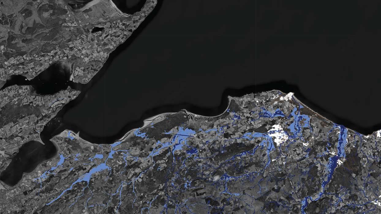
Along the bays on the northeast coast of Scotland, the risk of flooding is expected to increase significantly over the coming decades. Due to climate change, not only is sea level rising, but storms are also becoming more powerful, leading to more extreme water levels. At the same time, several rivers in this region have been channelised in recent years. As a result, river channels have become narrower, forcing the same volume of water through a smaller space. This increases pressure on the riverbanks and accelerates erosion, especially during high discharges.
River mouths such as those of the Spey and the Lossie are therefore particularly vulnerable during peak flows and storm surges. When high river discharge coincides with elevated sea levels and severe storms, the risk of flooding increases rapidly.
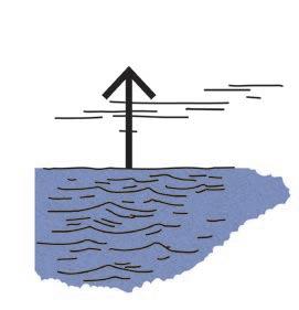
By the year 2100, very high water levels are expected. Total storm surge levels may reach approximately +13.8 metres NAP. This consists of sea-level rise of up to around +3.5 metres NAP, combined with a storm surge of approximately +1.5 metres, average wave heights of around +1.5 metres, and individual
waves reaching up to about 5 metres, with peaks of up to 7.3 metres. These factors reinforce one another, resulting in a significantly higher flood risk along the coast.
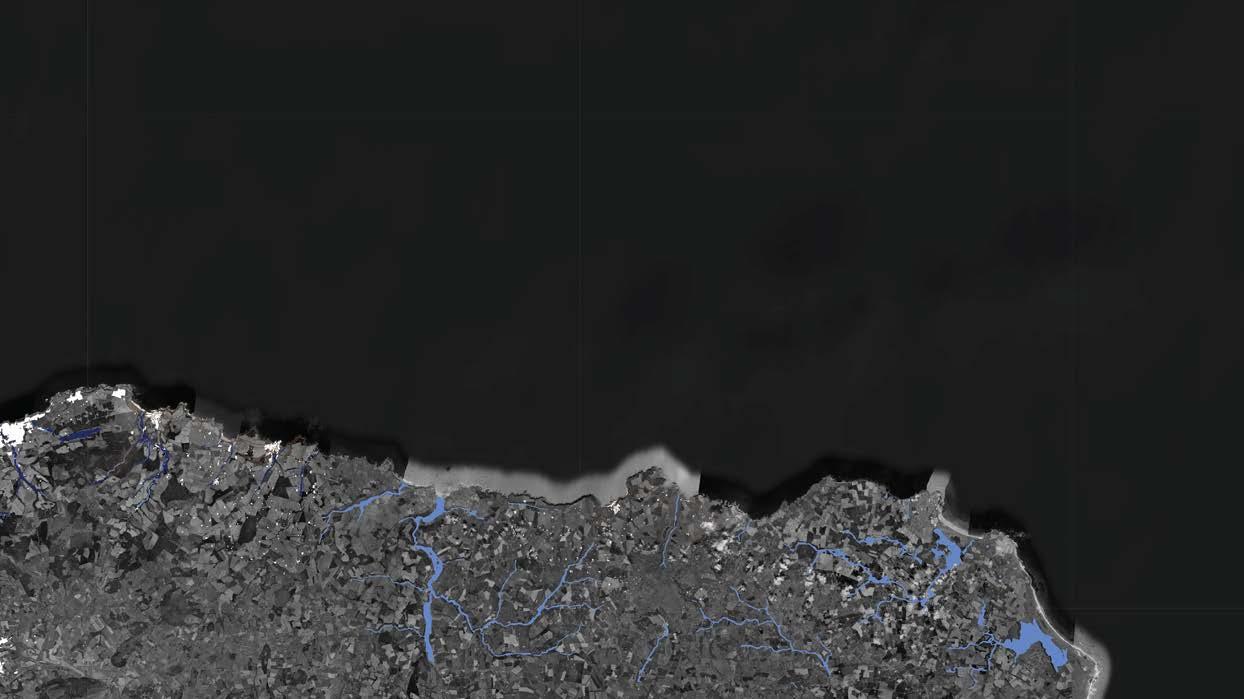
The map below shows the projected flood probabilities along the coast. The following pages zoom in further on the Moray area, Sandend, and Gardenstown, clearly indicating where the greatest risks are located for each site.
LEGEND


LEGEND
Sea level 2025
Sea level 2100
Individual waves
Sea level 2100 (+3.5m)
Villages
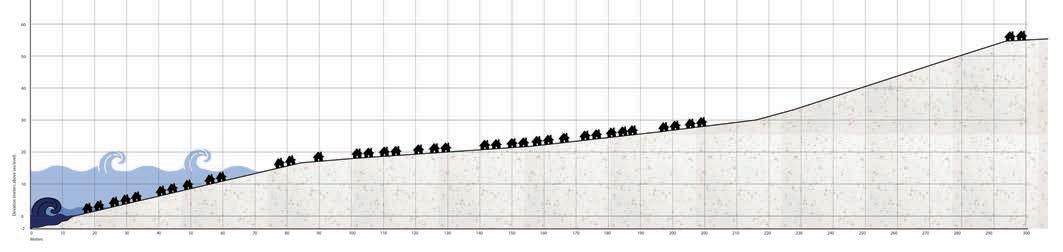
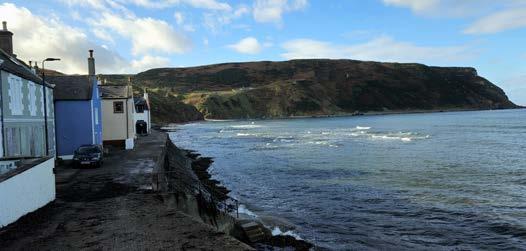
The houses in Gardenstown are built directly against the cliffs, with the oldest dwellings located right along the coastline. At every high tide, waves reach the main street. This means that the houses on the seaward side come into contact with seawater twice a day, even during calm tidal conditions.


Flood probability 2025
Flood probability 2100
Moray Firth (sea)
Villages
Cross-section
On both the western and eastern sides of the village, waves strike the base of the cliffs at high tide. Here, the water hits the rock face with force, leaving these sections of the coastline constantly wet and exposed to fluctuating water pressure and wave action.
To the west of Gardenstown, two narrow drainage channels run from the hills down to the sea, carrying rainwater from the surrounding area. In addition, rainwater flows towards the coast via streets and gutters. During heavy rainfall, the volume of water discharged through these routes increases significantly, causing large amounts of water to converge at the coast within a short period of time.
During storms, the impact of the water becomes even greater. The sea penetrates further into the bay, reaching areas that normally remain dry during regular tides. Waves become higher and more powerful, striking the coast more frequently and significantly increasing the stress on both the cliffs and the built environment.
In the future, storms are expected to become more frequent and more intense. The projected storm surge level of +13.8 metres NAP by 2100 therefore poses a serious threat to Gardenstown. Higher water levels, stronger waves, and more severe storm surges will cause the village to be increasingly exposed to direct water impact on both the coastline and the houses.

LEGEND
LEGEND
Sea level 2025
Sea level 2100
Individual waves
Sea level 2100 (+3.5m)
Villages
Flood probability 2025
Flood probability 2100
Moray Firth (sea)
Villages
Cross-section
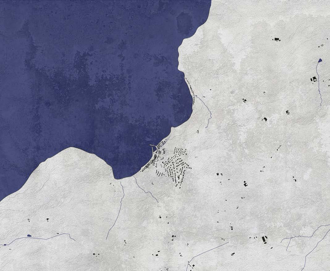
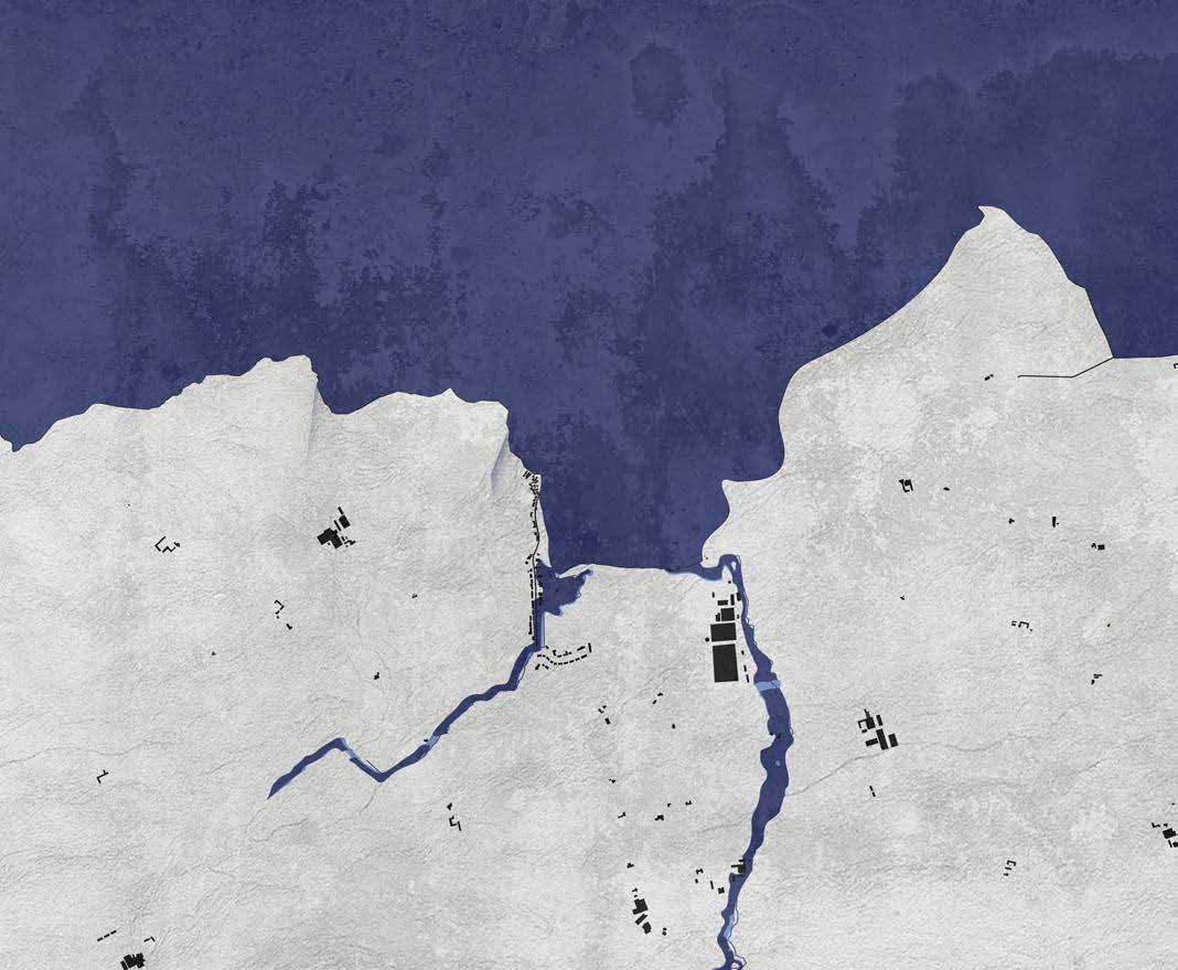
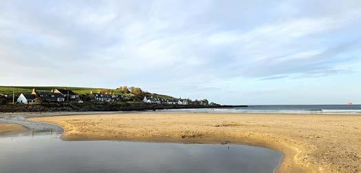
The houses in Sandend are located on the left side of the bay when viewed from the land, on low cliffs along the sea. Under normal tidal conditions, the village is not affected by the water, as the houses are situated high enough above the beach.
During storms and periods of high waves, this situation changes. Seawater can then reach the builtup area. As a result, the coastal houses require more frequent maintenance, as saltwater accelerates the deterioration of façades and structures.
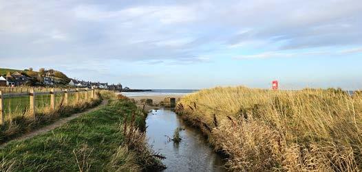
The Scattery Burn flows through the village, a narrow stream that discharges into the sea. It drains rainwater from the surrounding area but has limited capacity to accommodate high volumes of water. In the future, heavier rainfall will cause more water to flow towards the sea via this burn, while its discharge capacity will remain limited. As a result, there is a high likelihood that the Scattery Burn will overflow its banks more frequently, flooding parts of the village.
The projected storm surge level for 2100 also poses a serious threat. Sandend lies at an elevation of approximately 7 to 9 metres above sea level. Even today, during storms, waves strike the houses forcefully and strong winds sweep along the façades. With a storm surge level of +13.8 metres NAP, permanent habitation at this location is likely to become unfeasible. The village would then need to relocate to higher ground on the hillside behind it.
In addition, the beach is expected to become narrower, and rivers and streams will require more space to safely discharge water.
LEGEND
Sea level 2025
Sea level 2100
Individual waves
Sea level 2100 (+3.5m)
Villages
LEGENDE
Flood probability 2025
Flood probability 2100
Moray Firth (sea)
Villages
Cross-section
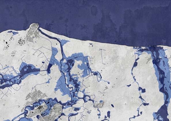
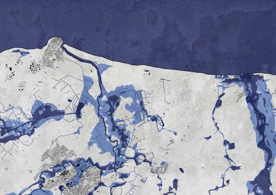
The Moray area is situated in a low-lying coastal landscape, where the hinterland rises only slightly above sea level. Unlike bays with steep cliffs, this landscape offers very little natural protection against high water levels. Villages around the mouths of the Lossie and the Spey are located close to the coast and are therefore highly dependent on the effective discharge of water towards the sea.
Both the Lossie and the Spey drain water from a large hinterland and already overflow their banks regularly during heavy rainfall. Because both rivers discharge directly into the sea, their water levels are influenced by tides, storm surges, and wave action. When sea levels are high, river water cannot flow out as efficiently and temporarily accumulates inland.
In Kingston and surrounding villages, rainwater flows from the low-lying hinterland towards the rivers and then to the sea. During heavy rainfall, the volume of water that needs to be discharged increases rapidly. In the future, rainfall events are expected to become more frequent and more intense, further increasing peak discharges in the Lossie and the Spey. This significantly raises the risk of flooding in villages along these rivers.
During storms, the situation becomes even more vulnerable. The sea pushes further into the river mouths, raising water levels in both rivers. Rainwater, river water, and seawater can then accumulate simultaneously. In the low-lying hinterland, water pressure increases rapidly, allowing flooding to spread more easily and more quickly.
With a projected storm surge level of +13.8 metres NAP by 2100, this risk will increase further. The combination of sea-level rise, stronger waves, and more intense rainfall means that Kingston and surrounding villages will face high water levels and limited drainage capacity more frequently. As a result, a persistent threat to habitation in this low coastal area emerges.


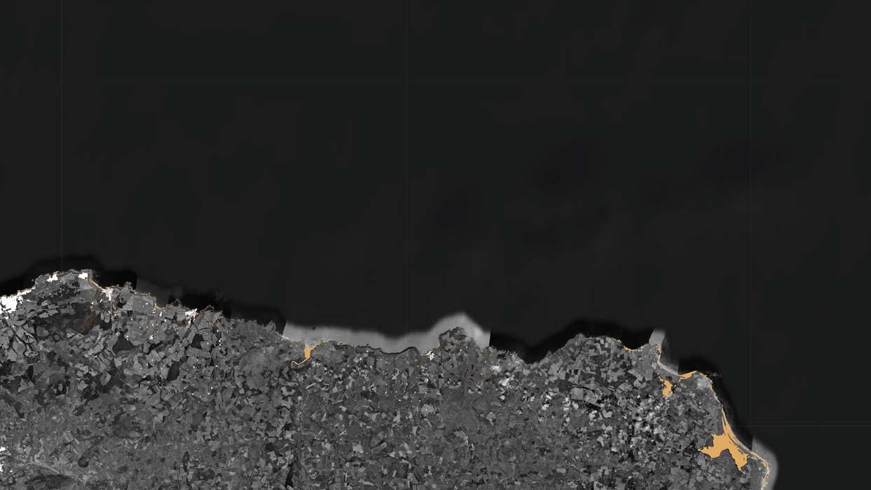
Erosion area 2050
Erosion area 2100
Villages
Hiking route
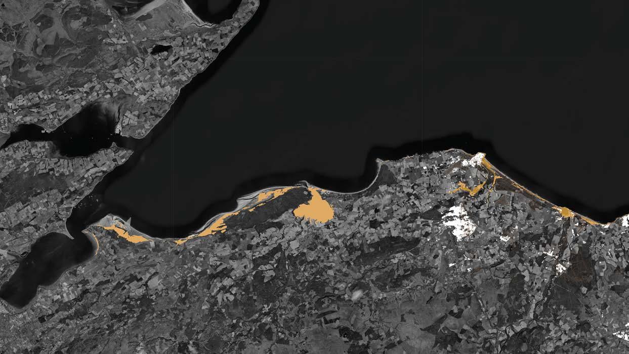
Along the bays on the northeast coast of Scotland, coastal erosion is expected to increase significantly over the coming decades. Due to climate change, not only is sea level rising, but storms are also becoming more powerful. This results in higher water levels and heavier wave action, increasing pressure on the coastline. Cliffs, dunes, and beaches will therefore be eroded more rapidly and may disappear in some locations. As these developments continue, erosion rates are likely to accelerate further.
In some bays, the hinterland lies less than 10 metres above sea level. When the projected storm surge level of +13.8 metres NAP is reached and natural protective features such as beaches or dunes are lost to erosion, the sea can penetrate deep inland.
In other bays, villages are built directly against the cliffs, such as at Sandend and Gardenstown. Here, the sea will continue to erode the cliff faces, placing increasing pressure on the safety of the built environment. To remain safe in the long term, these villages will likely need to gradually relocate inland and to higher positions on the cliffs.
The map below shows where coastal erosion is expected up to 2100. The following pages zoom in on the Moray area, Sandend, and Gardenstown, illustrating for each location where sensitivity to erosion is greatest and how this may develop in the future.
LEGEND


Erosion area 2050
Erosion area 2100
Sea level
Villages
LEGEND

Erosion area 2050
Erosion area 2100
Moray Firth (sea)
Villages
Cross-section
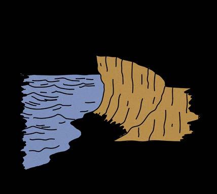
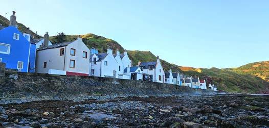
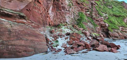
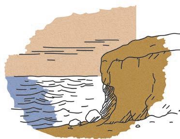
The cliffs around Gardenstown are mainly composed of red sandstone, a type of rock that is relatively soft and vulnerable. Due to the constant influence of the sea and rainfall, especially the lower parts of the cliffs become saturated with water. When these wet layers dry out again, they weaken and crumble easily. Even light wave action or wind can then dislodge material, creating cavities at the base of the cliff.
Over the longer term, this process makes the cliffs unstable. As the base is progressively eroded, the overlying rock loses its support. Eventually, sections of the cliff can break off or slide downwards, leading to landslides. This often happens in stages, causing the cliff to gradually retreat.
Buildings along the coast are also at risk as a result. The historic houses located directly along the shoreline are in a particularly vulnerable position. They are exposed not only to water and waves, but also to subsidence and the weakening of the ground on which they are built.
Rainfall plays an additional role in this process. When the soil becomes fully saturated, the sandstone loses its cohesion. In areas where rainwater is concentrated and flows downslope, slopes can break down more rapidly. In this way, the cliff is attacked both from below by the sea and from above by rainfall.
With the expected increase in storms and higher water levels, these processes will only intensify in the future. In the long term, a large part of the red sandstone cliffs will disappear. As a result, settlement in the bay of Gardenstown will come under increasing pressure, and living in this location will eventually no longer be possible.

LEGEND
Erosion area 2100
Sea level
Villages
Erosion area 2050
Erosion area 2100
Moray Firth (sea)
Villages
Cross-section
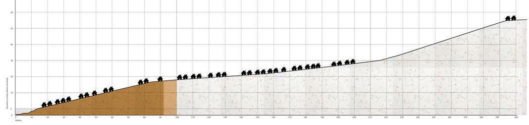
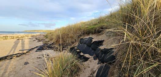
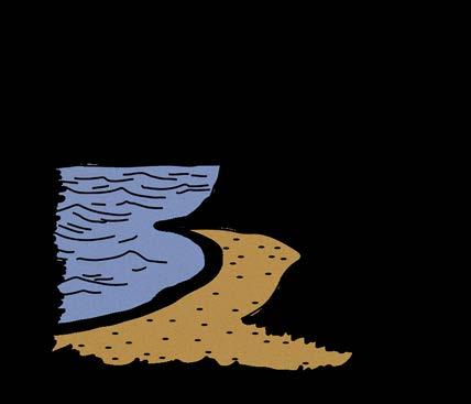
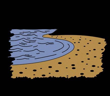
The low cliffs and dunes around Sandend Bay are mainly composed of sand and loose sediment. This makes them inherently vulnerable to erosion. Repeated exposure to tides, storm waves, and strong winds gradually reduces the stability of these sandy formations. During high tide, seawater washes away the base of the dunes, while in dry periods the sand dries out and is easily transported by the wind.
Over the long term, the base of the dunes becomes increasingly undercut. As a result, the overlying sections lose their support and slope failures occur. In this way, the dune profile gradually shifts landwards, causing the entire bay to slowly retreat.
Buildings on the western side of Sandend are also coming under increasing pressure. The houses are located on low cliffs and are not yet affected by every high tide, but continuous erosion is steadily removing ground at the cliff edge. This brings the buildings closer to the edge and increases the risk of instability.
In the future, heavier storms, higher water levels, and the projected storm surge level of +13.8 metres NAP will intensify these processes. The beach will become narrower and the dunes will continue to break down. The bay will cut further inland until a more resistant layer in the subsurface is reached. This layer will eventually form new cliffs, with heights of approximately 26 to 28 metres. From that point onwards, the rate of erosion will slow down.
In the long term, the coastline of Sandend will therefore change dramatically. Large parts of the current sandy formations will disappear, and habitation directly along the bay will become increasingly vulnerable. Eventually, residents will need to relocate to higher ground.
LEGEND
Erosion area 2050
Erosion area 2100
Sea level
Villages
LEGEND
Erosion area 2050
Erosion area 2100
Moray Firth (sea)
Villages
Cross-section
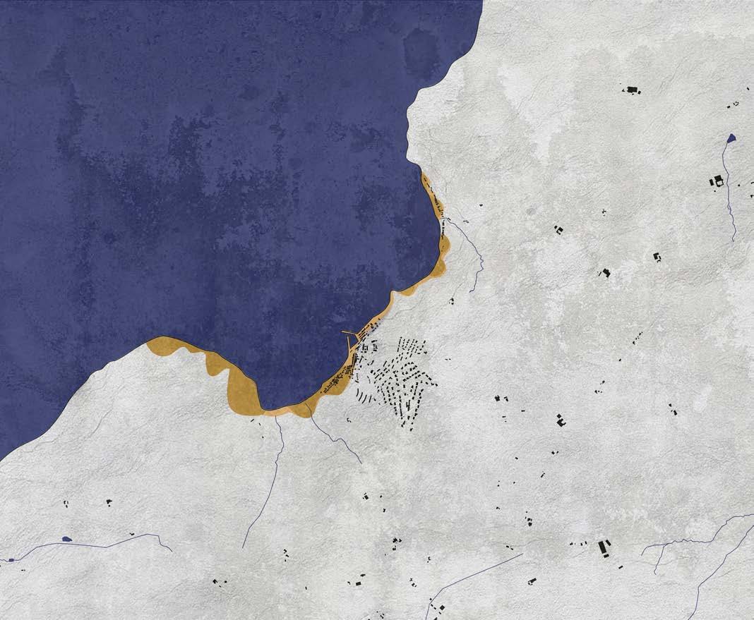
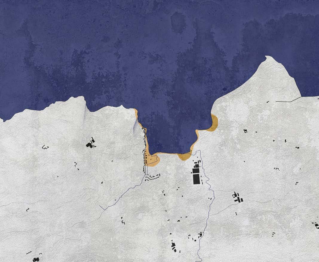
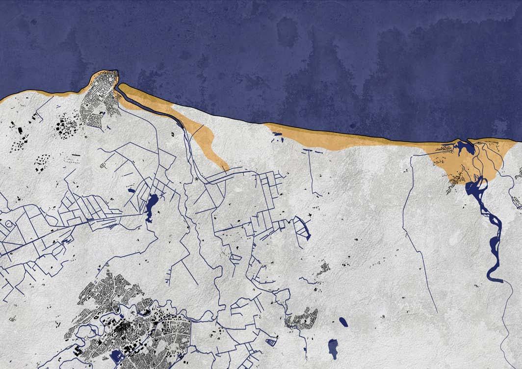
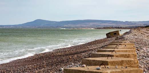
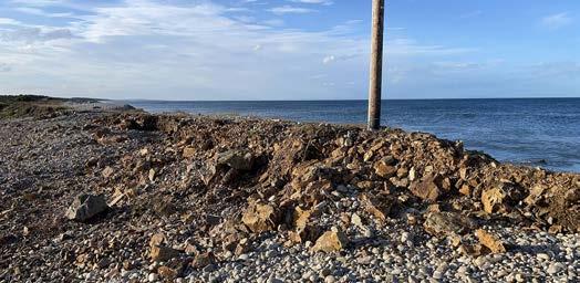
Around the Moray area, coastal erosion may appear limited at first glance. The coastline here mainly consists of engineered shingle ridges, which erode less rapidly than sandy dunes or cliffs. Instead of breaking down, the pebbles are pushed landwards during high tides and storms. This form of erosion has major implications for the safety of the area, as the shingle ridge forms the primary barrier between the sea and the low-lying hinterland.
Due to increasingly frequent storms, higher waves, and rising sea levels, this shingle barrier is gradually becoming lower and narrower, while at the same time shifting further inland. During severe storm surges, material is thrown over the ridge or carried away by the sea. As a result, the coastline retreats step by step. Because the land directly behind the shingle ridge lies much lower, the level of protection against flooding decreases rapidly.
River dynamics further increase the vulnerability of the area around Kingston. The Spey delta is eroding and gradually migrating landwards as coastal material is removed by wave action. The shape of the delta is changing, making the area more open towards the sea. A similar process is occurring at the mouth of the Lossie, where the coastline is retreating and river influence extends further inland. As the rivers change course more frequently, existing banks disappear and new areas of land are claimed by the water. In this way, the boundary between land and water becomes increasingly unstable.
In the future, these developments are expected to intensify further. With an anticipated sea-level rise of approximately +3.5 metres and storm surge levels that may reach around +13.8 metres NAP by 2100, current coastal protection measures will no longer provide sufficient safety. When the shingle barrier is breached by erosion, the sea can penetrate far inland during storm surges—not through the collapse of cliffs, but because the final protective threshold disappears.
The combination of a retreating coastline, an increasingly lower shingle ridge, shifting river mouths, and an extensive low-lying hinterland means that the Moray area and surrounding villages will face significant risks in the future. Even relatively limited erosion can have major consequences here, as small changes in the coastal barrier and river mouths can directly lead to large-scale flooding.

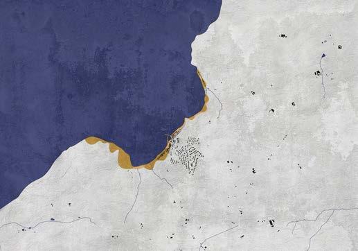
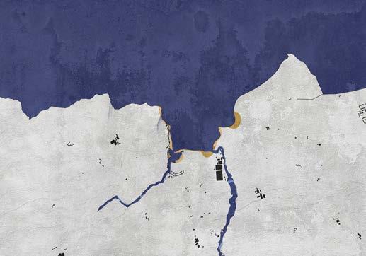
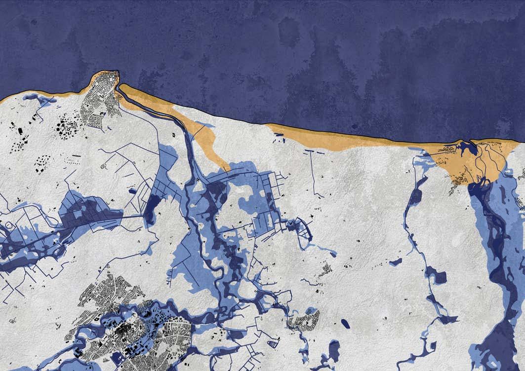
Along the northeast coast of Scotland, the coastline will undergo major changes over the coming decades due to accelerated erosion. More powerful storms, an expected sea-level rise of approximately 3.5 metres, and storm surge levels that may reach up to +13.8 metres NAP will together place increasingly extreme pressure on the coast. Wave action, water pressure, and elevated water levels reinforce one another, accelerating erosion processes that are already visible today. As a result, the coastline is likely to lose its current form within a relatively short period of time.
The consequences of these developments differ by location. In Gardenstown, the coast mainly consists of red sandstone—a soft rock layer that erodes quickly under the influence of water and wind. Beneath this layer, however, lies harder and older bedrock that is far less sensitive to erosion. Once the red sandstone has been completely eroded, the rate of erosion will slow significantly. Further changes will then no longer occur on a human timescale, but on a much longer geomorphological timescale of hundreds to thousands of years.
In Sandend, a similar process occurs, but with a different landscape outcome. Continuous erosion causes the wide sandy bay to be cut increasingly deeper. As storms become stronger and water levels rise, erosion progresses further inland. When the water eventually reaches the underlying, more resistant rock layers, the rapid breakdown of sand and dunes comes to an end. The bay then gradually transforms from a low, wide sandy coast into a steeper cliff bay with walls of approximately twenty metres in height. Here too, erosion slows significantly after this transition.
The greatest and most immediate risk, however, lies in the Moray area. This coastal zone is lowlying—often below 10 metres above sea level—and is threatened by both the sea and the rivers Spey and Lossie. While the coastline continues to retreat due to erosion, river mouths and deltas also migrate inland. As a result, high water levels from the sea and peak discharges from the rivers increasingly reinforce one another. By 2100, during extreme storm surges, water may penetrate as far inland as the higher, more resistant subsurface layers. Only there will the erosion process stabilise and shift from a rapid, visible process to the much slower pace of geomorphological development.
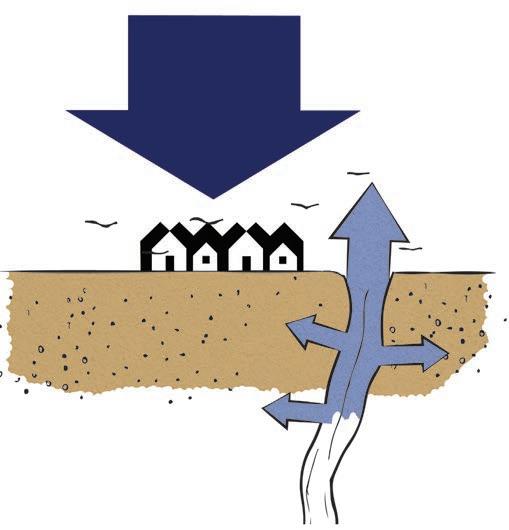
Because erosion in the bays of Gardenstown and Sandend will ultimately slow down and is largely unavoidable, these areas are only examined to a limited extent in this study. The Moray area, by contrast, faces an acute and significant risk. To prevent future disasters, it is essential to develop an integrated and coherent design strategy here in a timely manner. For this reason, the Moray area is explored in greater depth and developed into a safe and sustainable, liveable landscape.
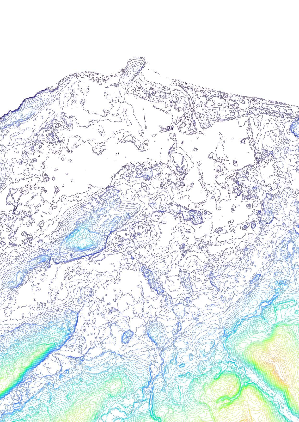
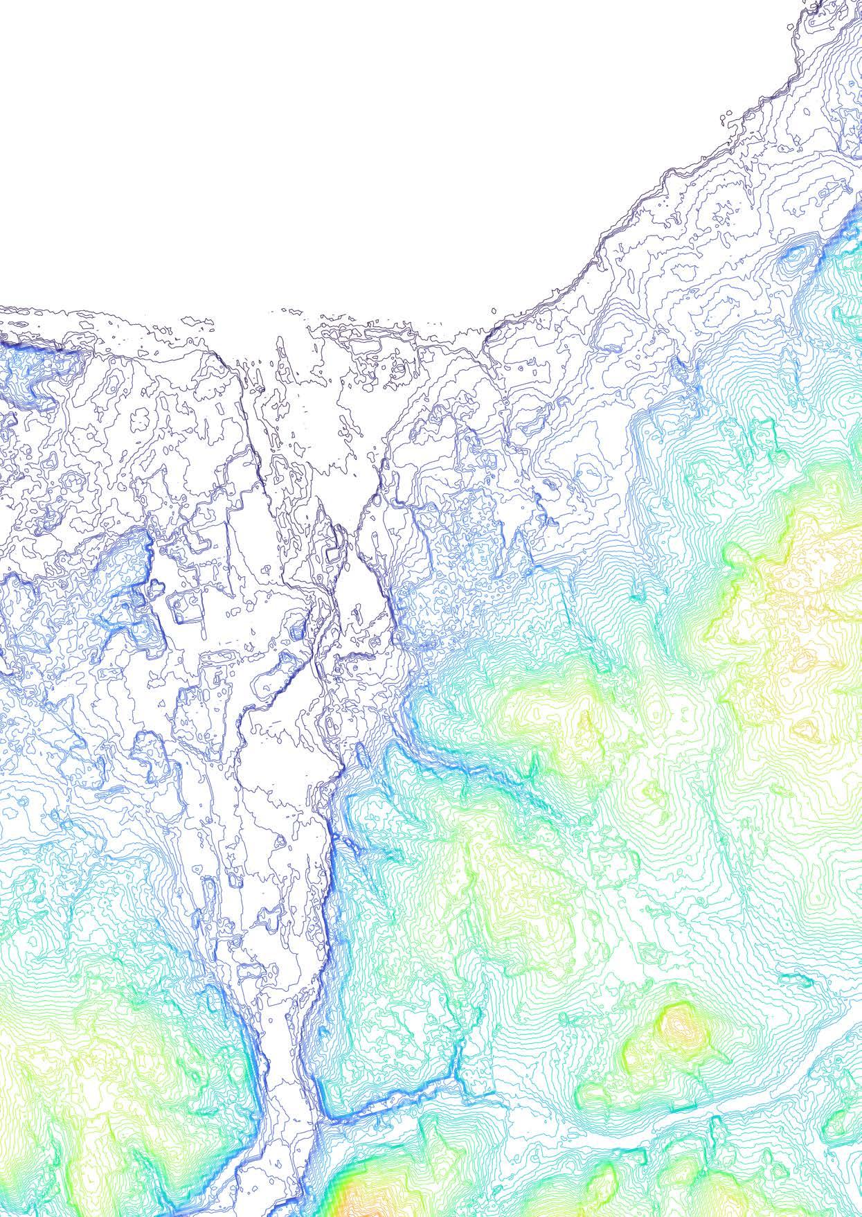
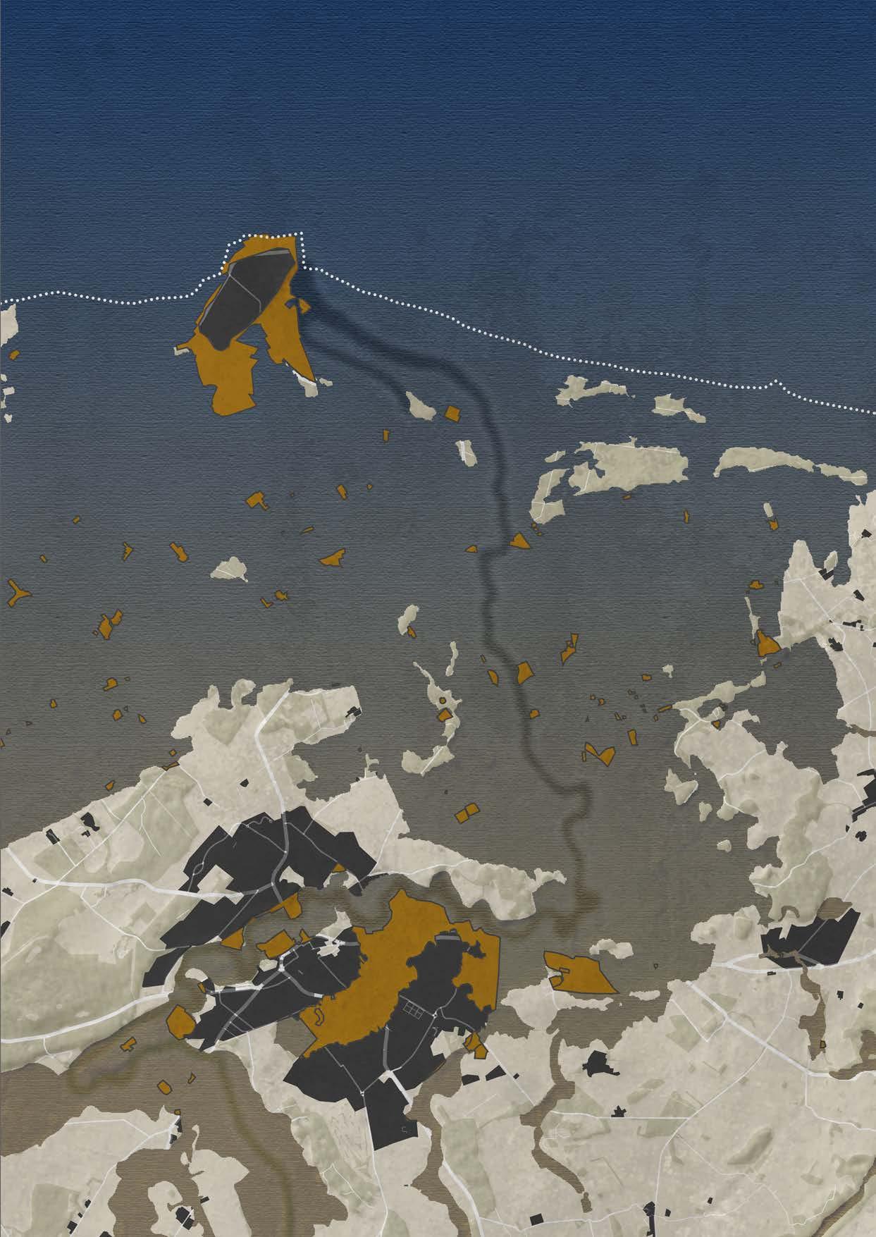
8,5km
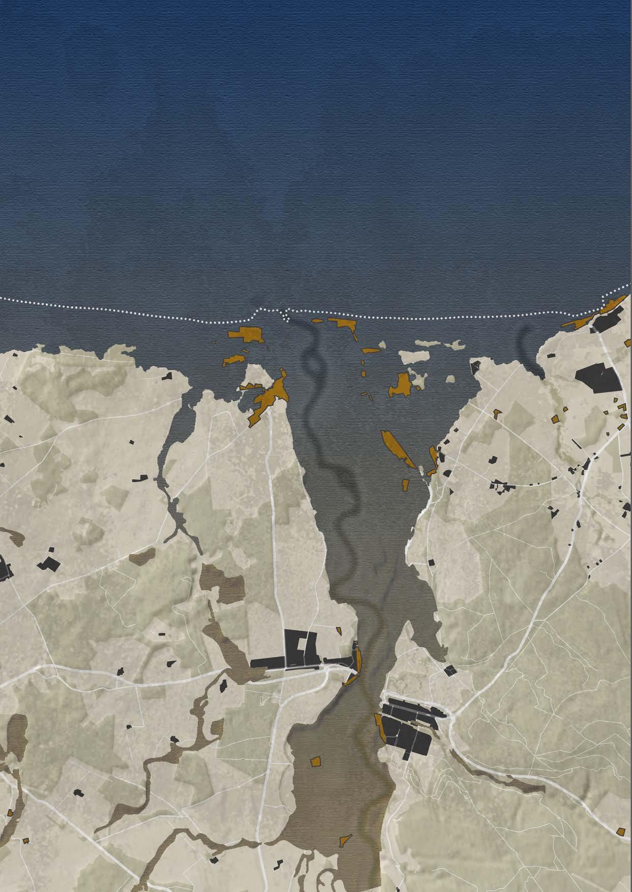
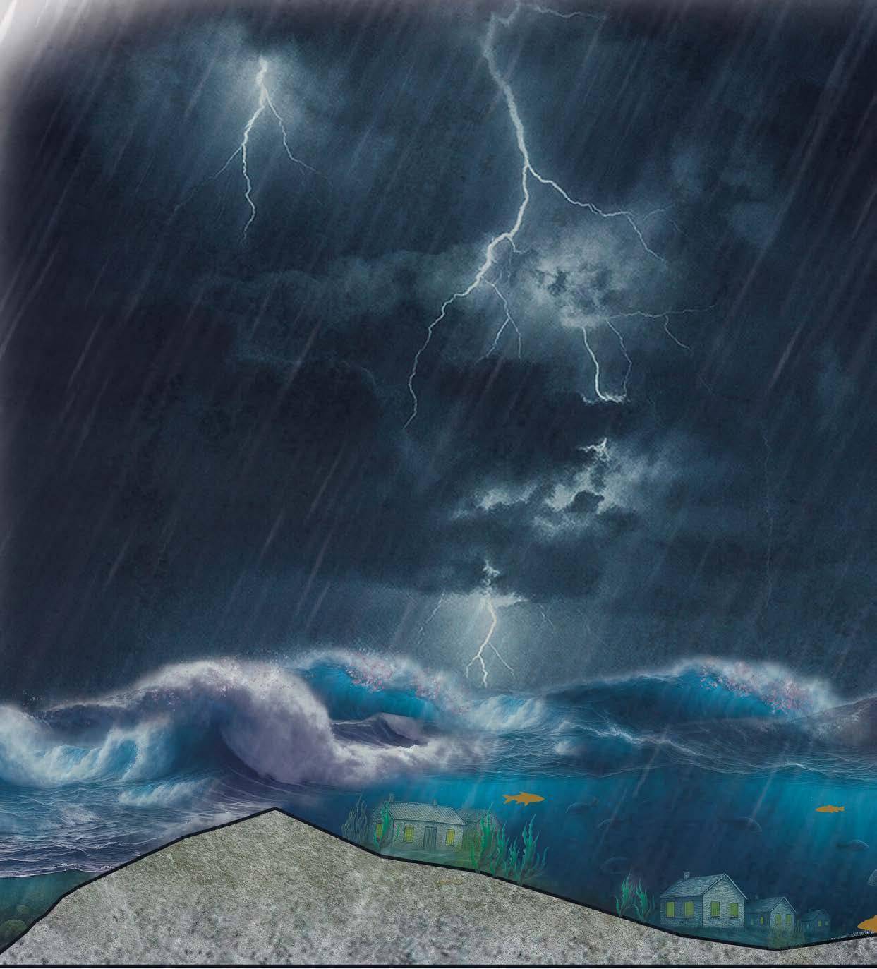
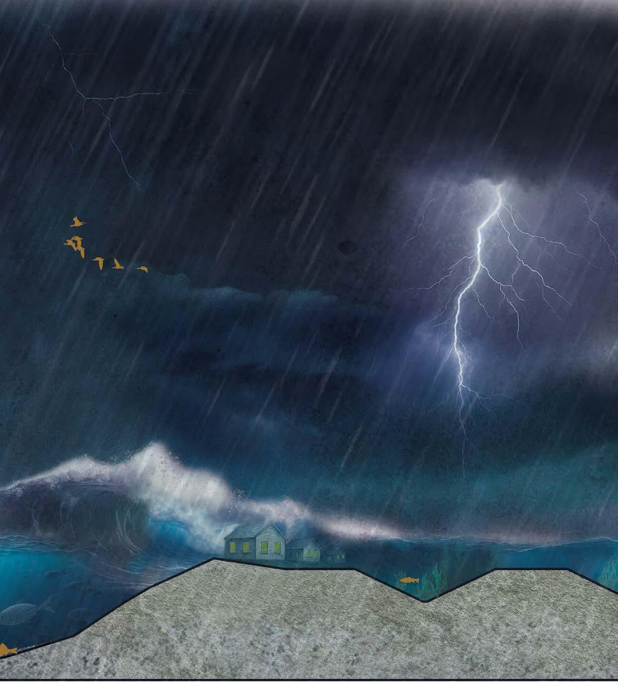
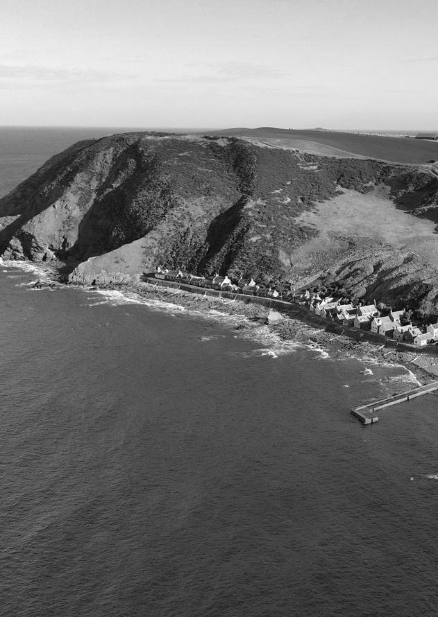
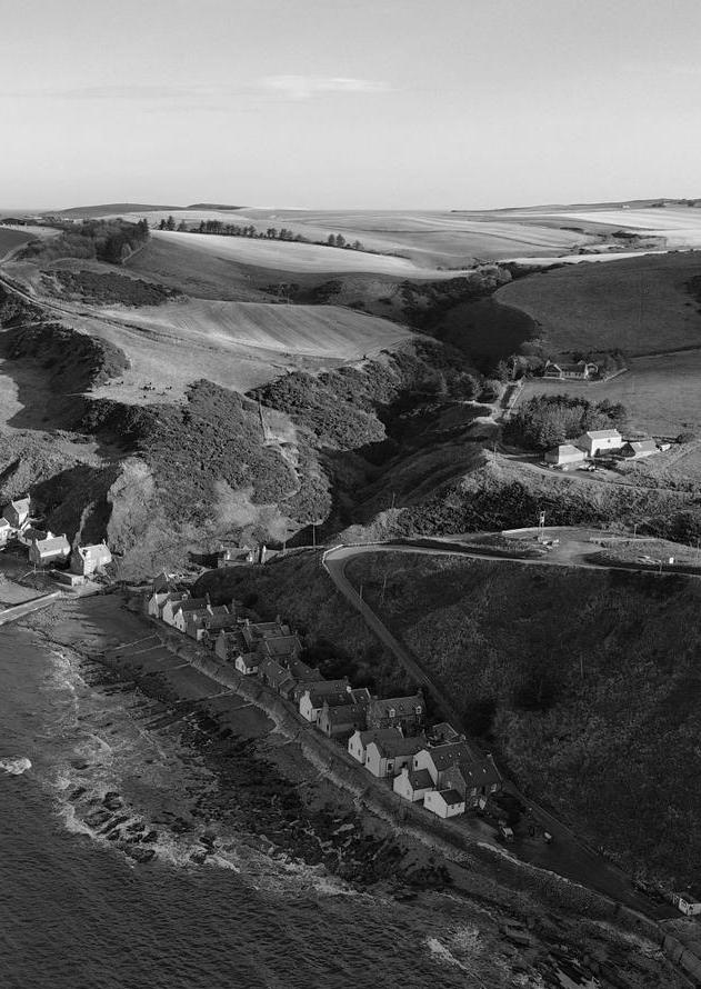
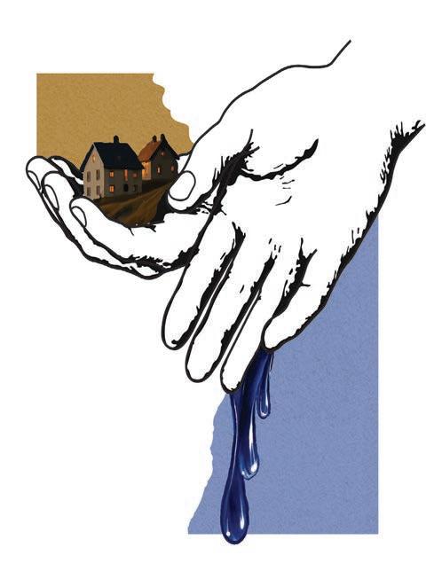
You can’t let everything go, but you can’t protect everything either. Perhaps that’s precisely what makes designing with erosion so special: it teaches us to recognize the beauty in what changes.
Places in Scotland regularly make the news when another landslide occurs, such as in Gardenstown. This is a small bay with high, hard cliffs, where erosion is clearly visible but unfolds over thousands of years. In Sandend, the problem occurs on a smaller scale and calls for local interventions. However, there are also places that receive far less attention, even though the danger there is much greater. In Kingston, everything comes together. Here, the threat is immediate: villages, infrastructure, and economic functions are under pressure, and the consequences of inaction are potentially lifethreatening.
This design is based on the assumption that erosion cannot be fully stopped. Not everything can be let go, but not everything can be protected either. It is precisely within this tension that the core of the design lies. The focus is on Kingston, because it presents an integrated design challenge with a high level of urgency. This is not the case for Gardenstown and Sandend. These bays are therefore studied and provided with measures, but no phased design is developed for them.
The phased plan consists of four time steps: 2025, 2057, 2075, and 2100. In each phase, different measures are applied—not to fix the landscape in place, but to allow erosion to occur in a controlled and safe manner. In this way, the design is not completed by humans, but by nature itself. Human interventions guide the process, while natural dynamics shape the landscape.
The design deliberately ends in 2100. By that time, erosion will have reached higher and more resistant subsurface layers and surrounding hills. From that point onwards, the process slows down and shifts from a human timescale to a geomorphological timescale. Further design interventions would no longer be meaningful.
This design demonstrates that this challenge can only be addressed through timely and phased action. Designing with erosion means accepting that change is inevitable and learning to guide without controlling. In the continuation of The Battle between Sea and Land, the phased design strategies are explained in greater detail.
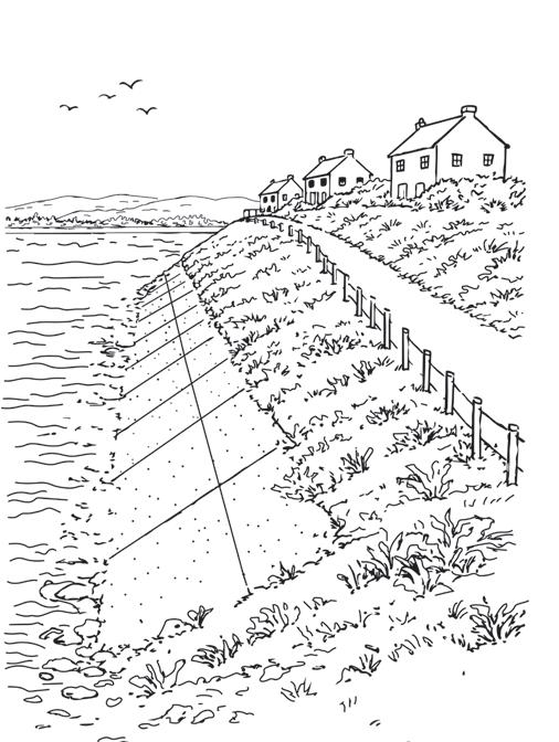
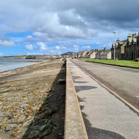
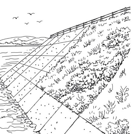
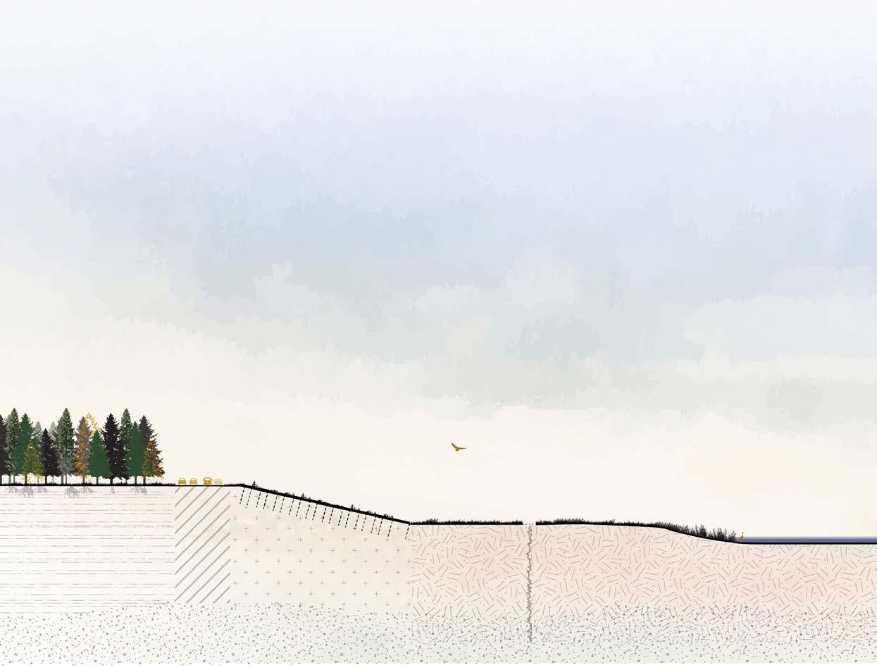
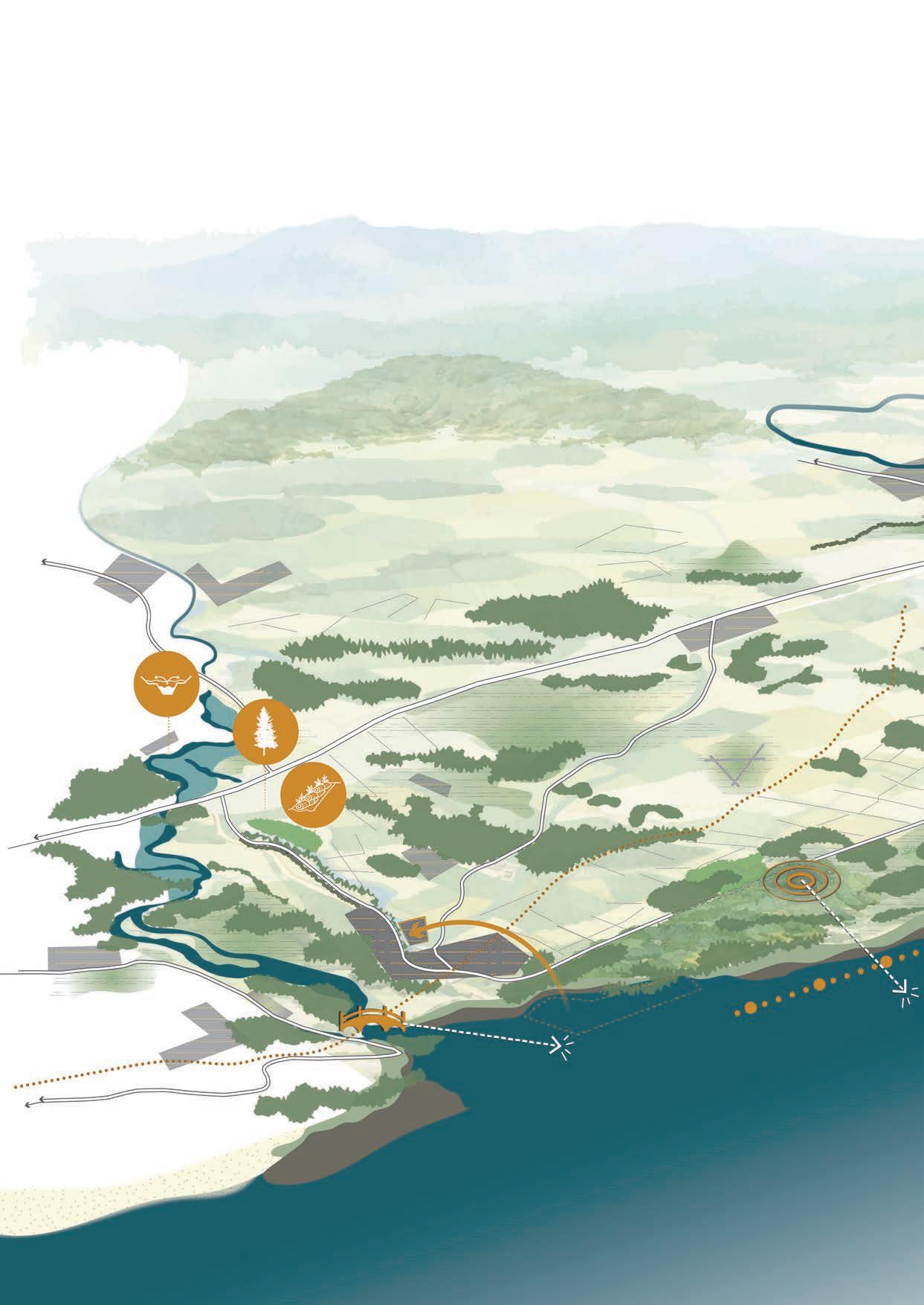
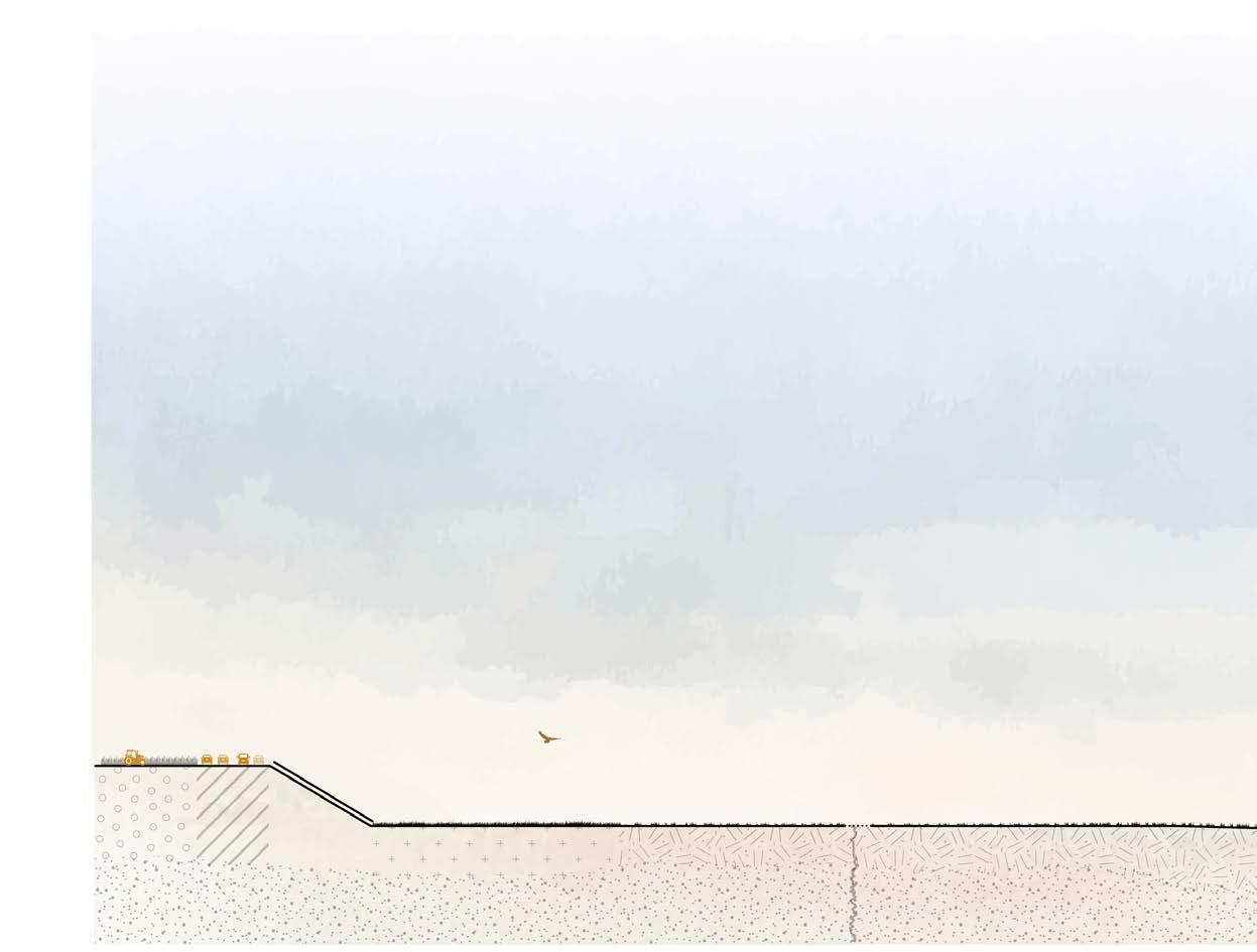
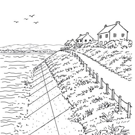
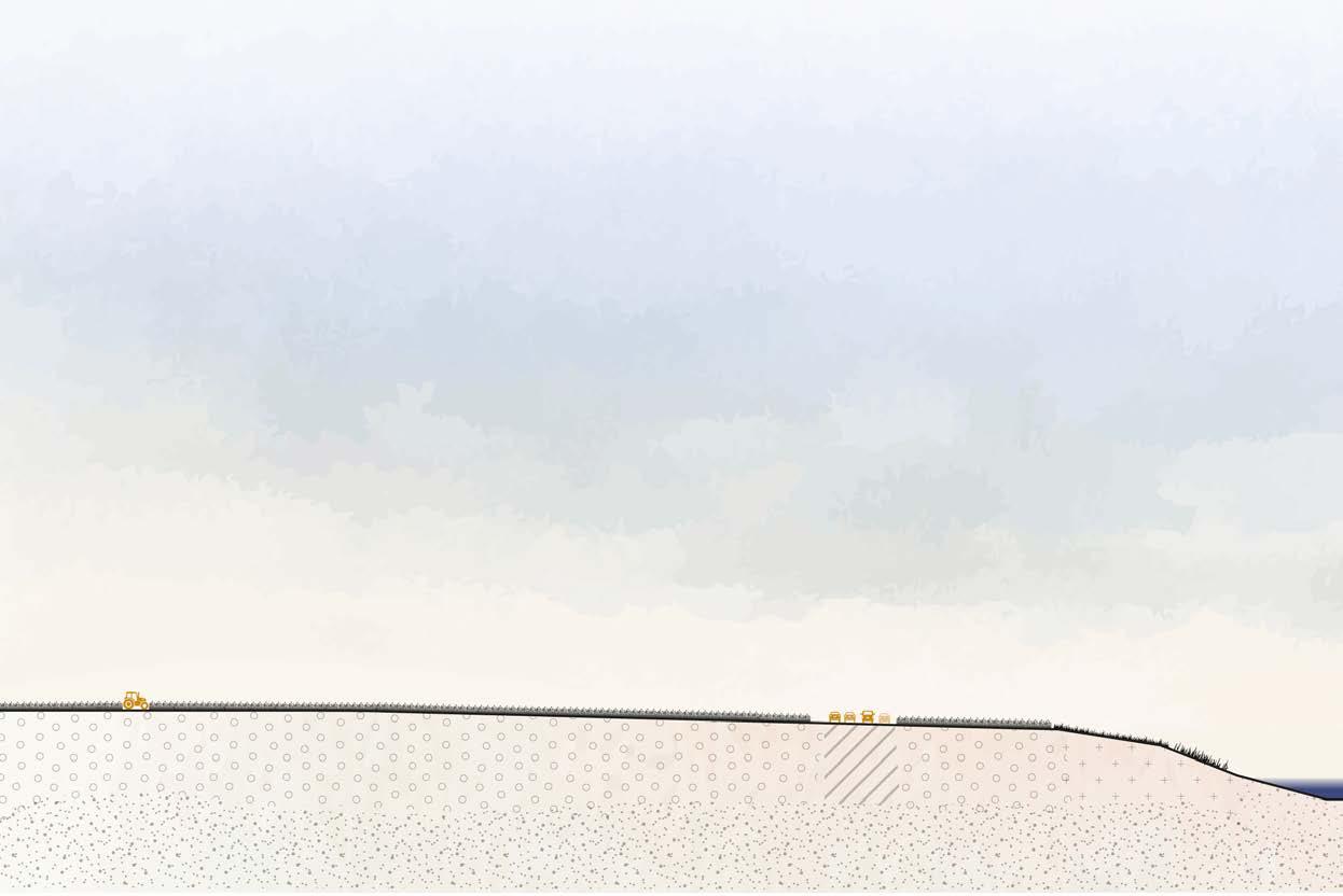
Along several villages, concrete retaining walls are constructed to provide additional protection against flooding and wind loads. The villages are situated slightly elevated behind the dike, allowing the visual and spatial relationship with the water to be preserved.

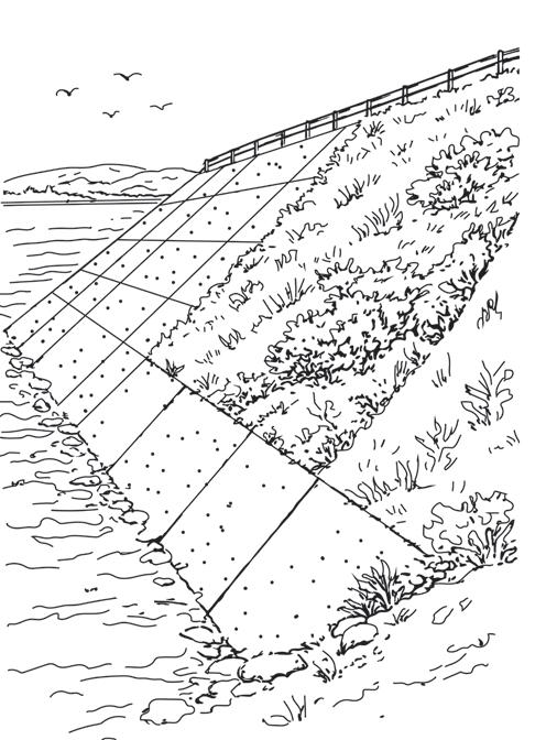
At strategic locations, the concrete retaining walls are combined with gridded structures that allow vegetation to grow. These contribute to better integration into the landscape and soften the hard character of the structure.
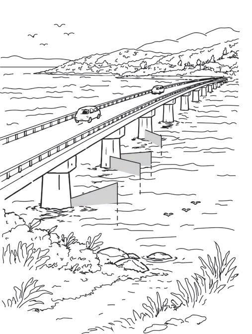
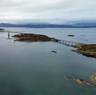
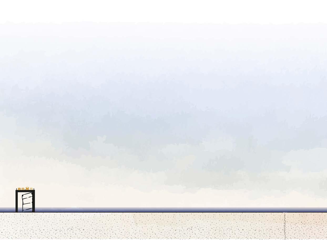
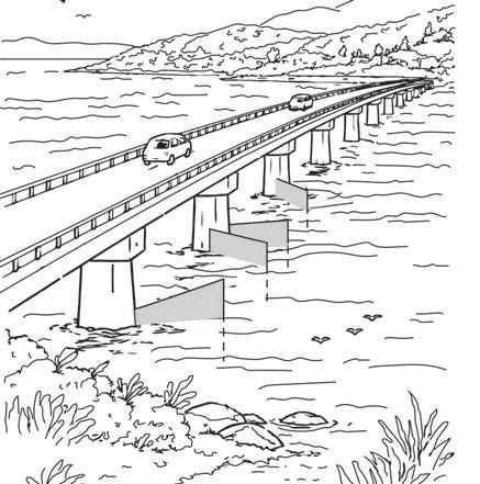
From Lossiemouth, a major connecting road is constructed across the water towards Elgin. Beneath the viaduct, sluice gates are installed that can be closed during exceptionally high water levels to protect the hinterland. At the same time, these gates can generate energy, contributing to sustainable energy production.
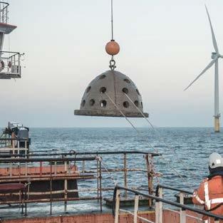

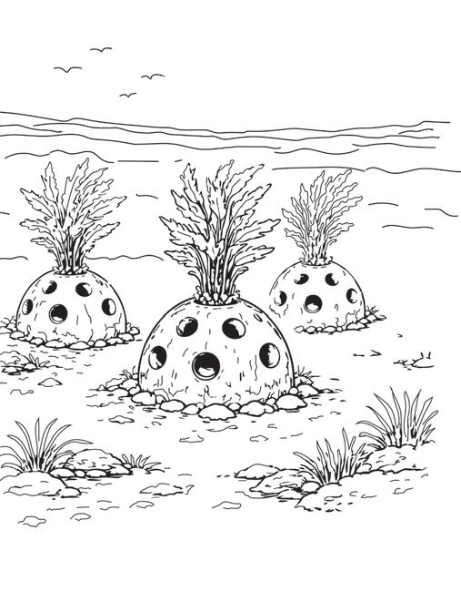
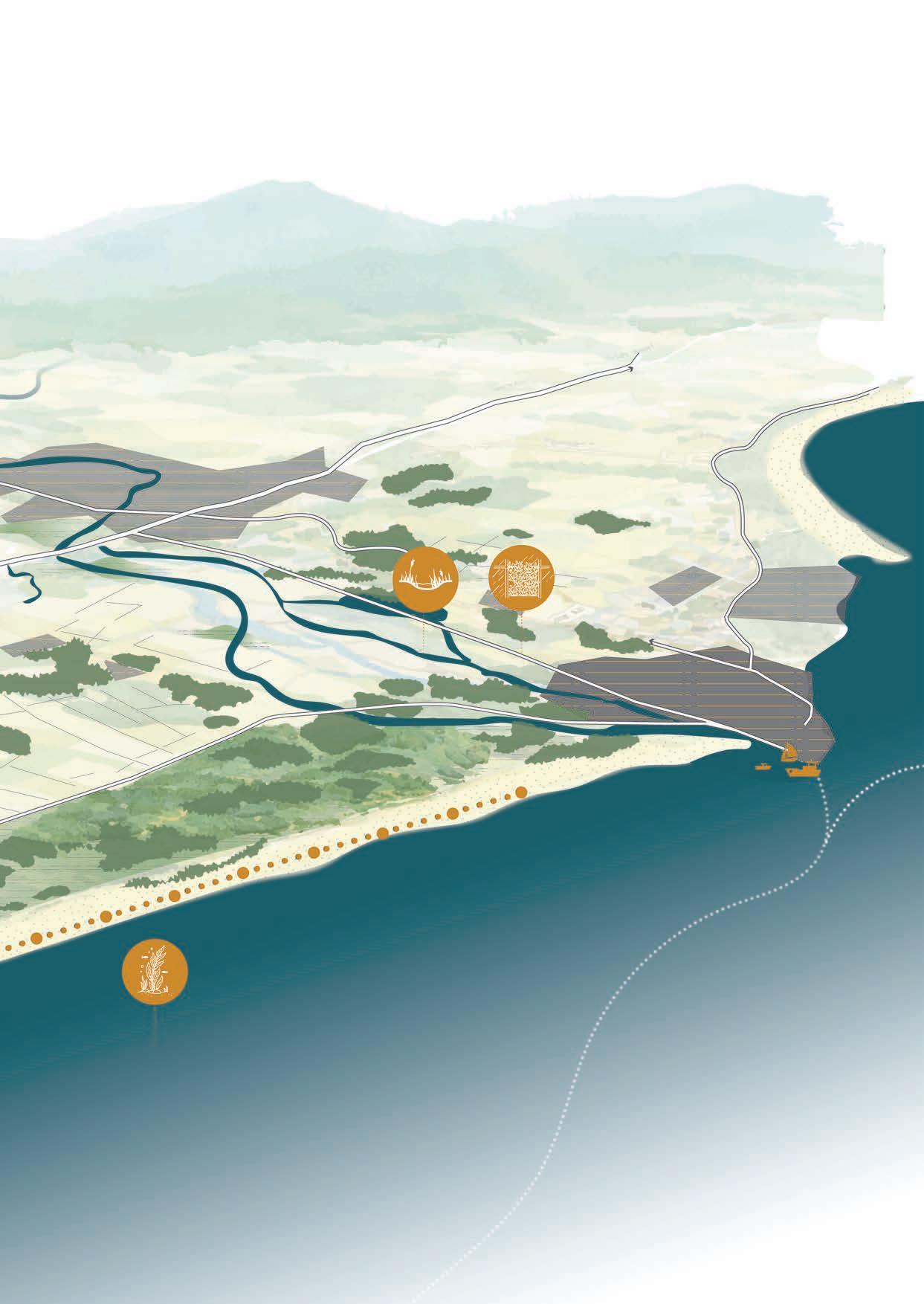
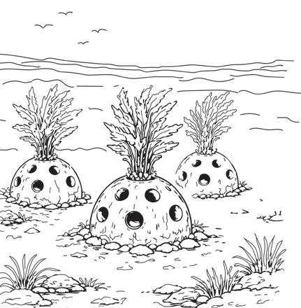
In the new deltas of both the River Lossie and the River Spey, reef balls are installed to strengthen the marine ecosystem. These concrete elements, with a maximum height of approximately 2 metres, are suitable for unstable seabeds and strong currents. In combination with several coniferous forest islands, they function as wave and current breakers, reducing the force of the water.

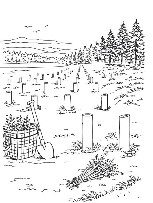
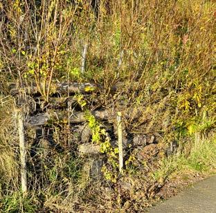

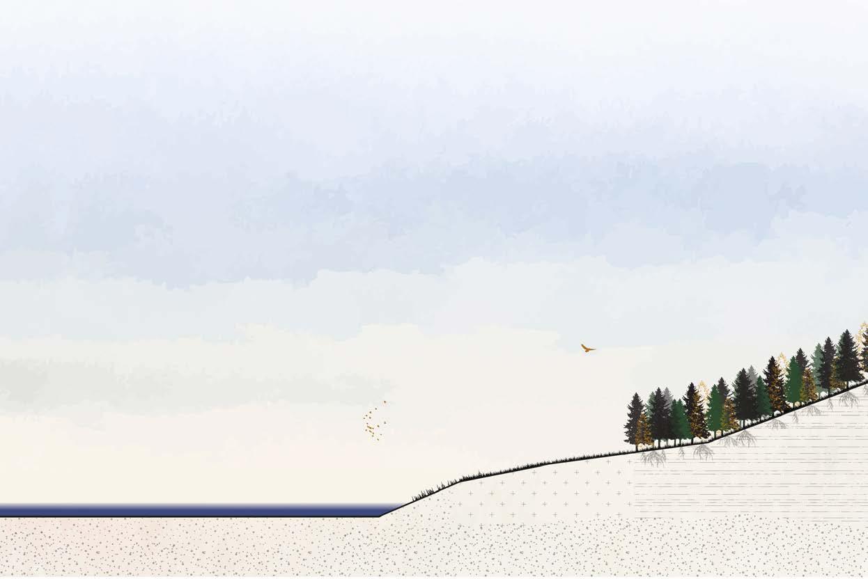
In Catterline, a natural method is applied to protect and strengthen fragile soils using willow grids. Vegetation can establish itself between these grids, allowing the soil to gradually stabilise and gain strength.
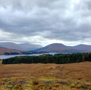

In addition, new coniferous woodland is planted, both to reinforce the soil and to restore parts of the cultural-historical landscape structure.
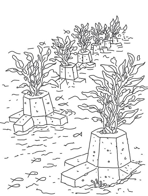
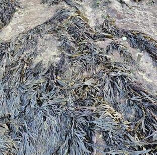

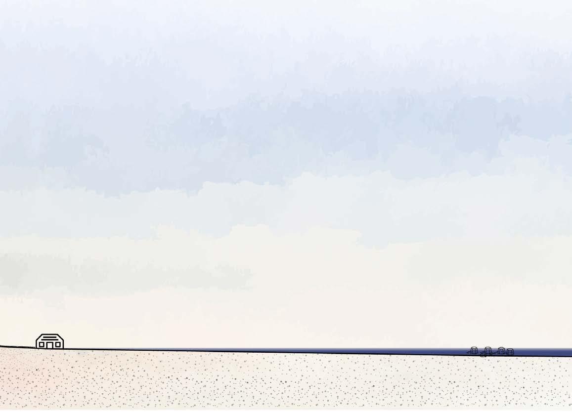
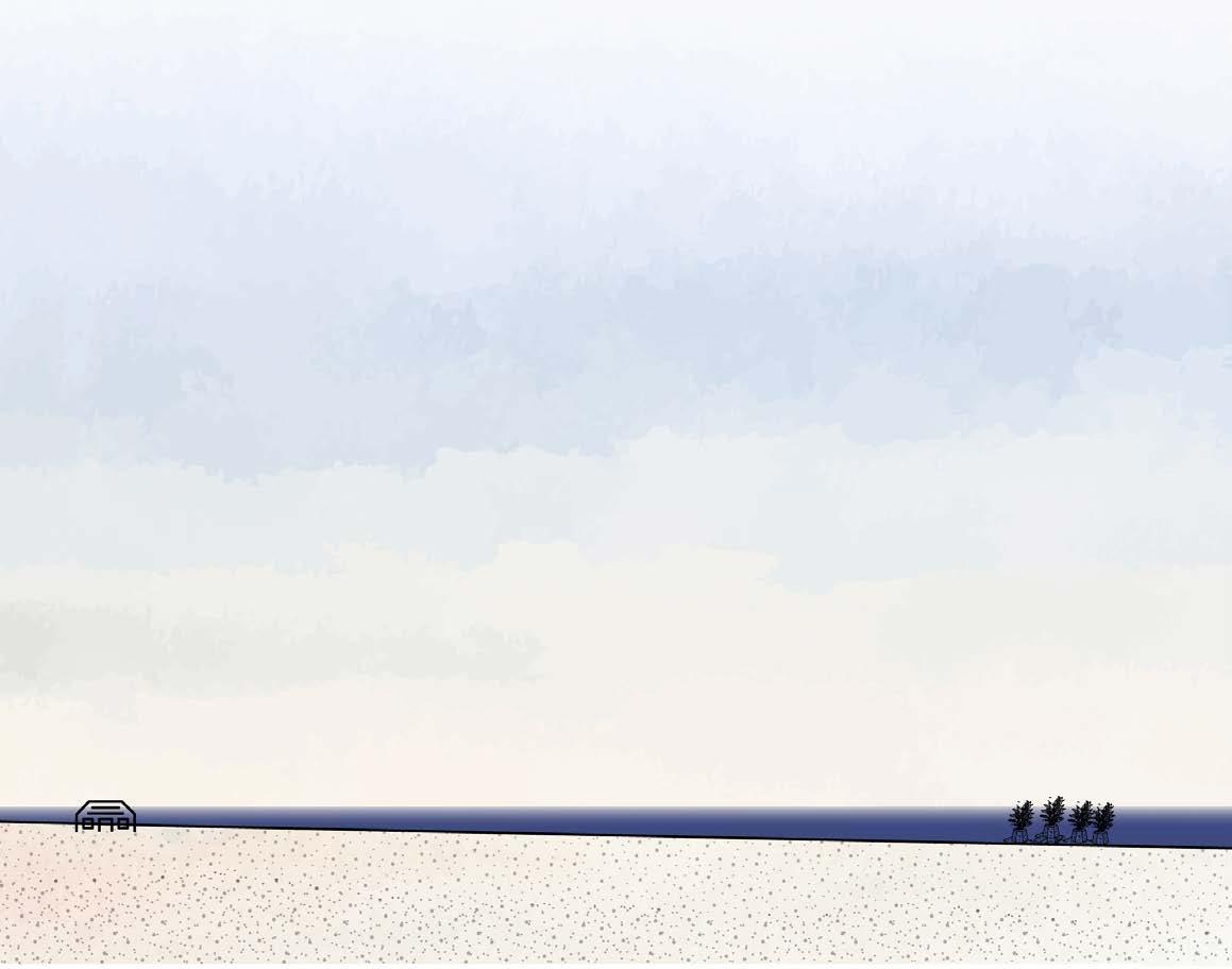
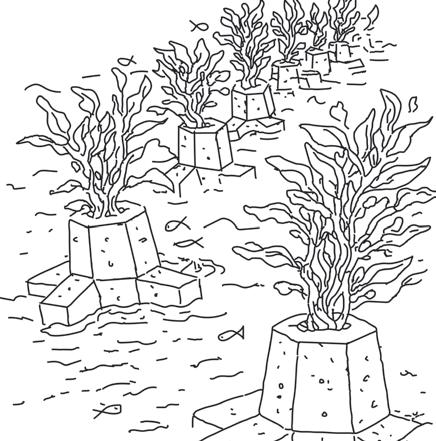
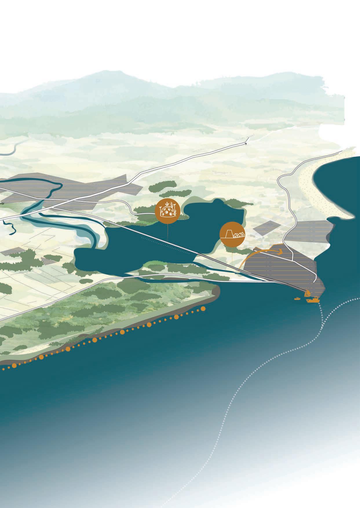
Off the coast, concrete blocks that are currently located on land and contribute only limited erosion control are reused. By strategically placing them in the sea, a substrate is created for the development of kelp forests. These kelp fields slow down currents and contribute to a rich marine ecosystem, serving, among other things, as habitat and foraging grounds for seals.
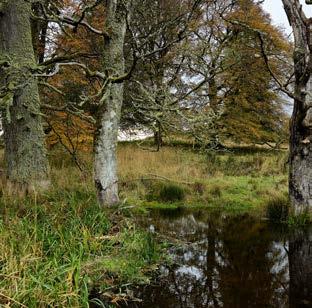

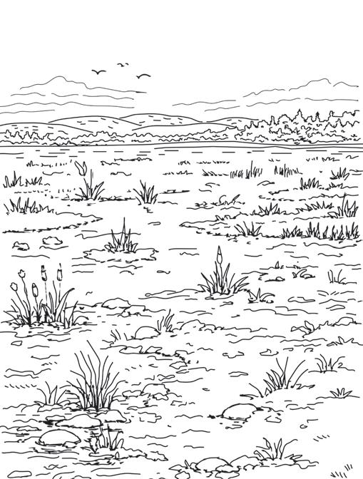
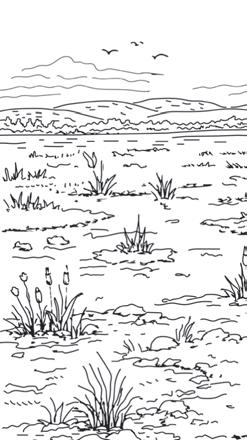
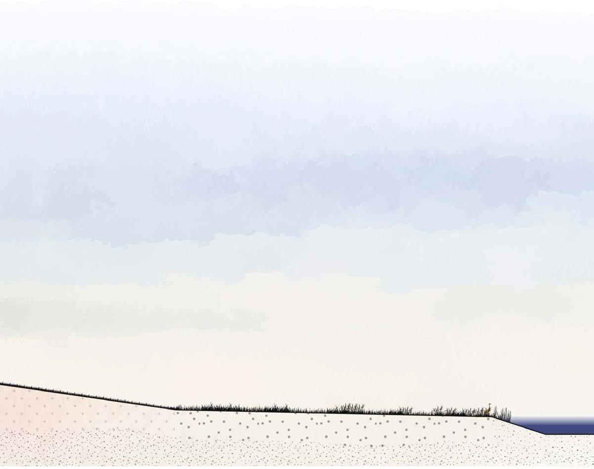
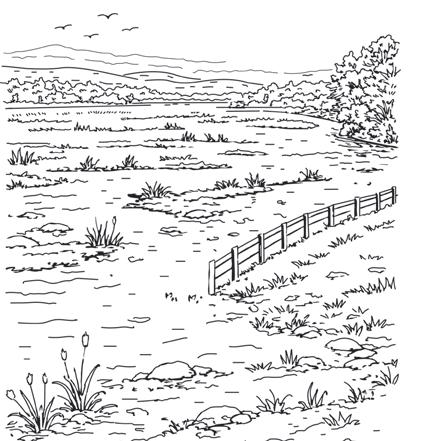
Between 2025 and 2100, dry areas are gradually transformed into dynamic delta landscapes. This development takes place in several phases, with a marsh phase forming a key intermediate step in the transition from dry land to wetland.
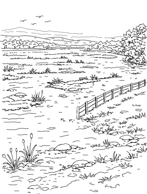
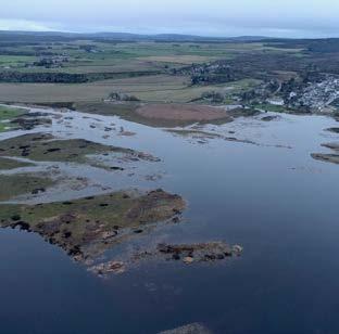

Along the river, agricultural lands currently occupy areas that are increasingly prone to flooding. In the future, these areas will be designated as space for the river and as inundation zones, allowing water more room during high discharges and providing better protection for the surrounding area.
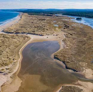

Finally, shallow side channels are created along the river, partly shaped by the river itself. These channels reduce flow velocity, dissipate energy from the water, and at the same time create a diverse underwater environment with valuable habitats for fish and aquatic plants, as well as opportunities for recreation.









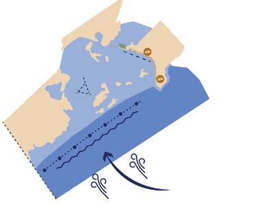
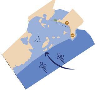
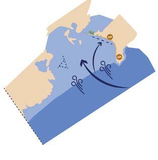
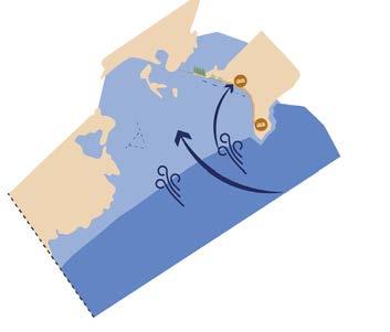
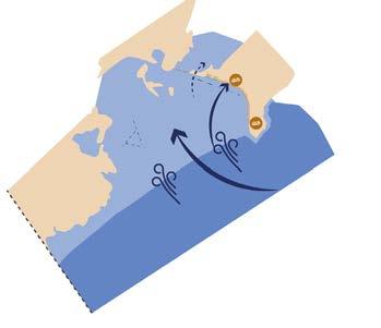
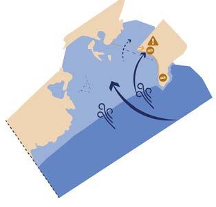
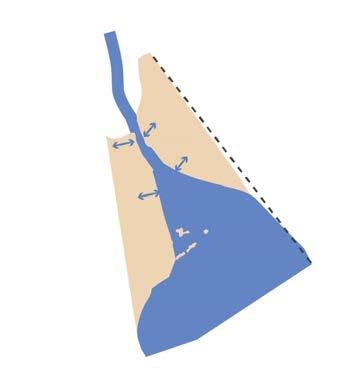
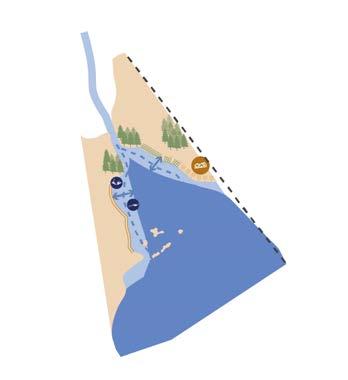
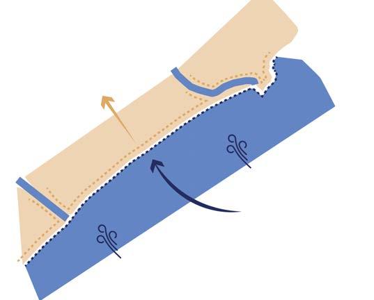
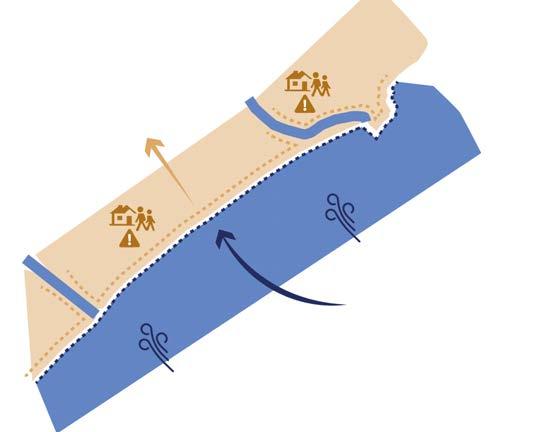
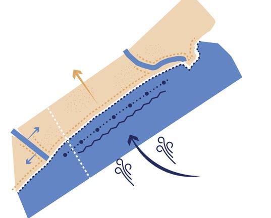
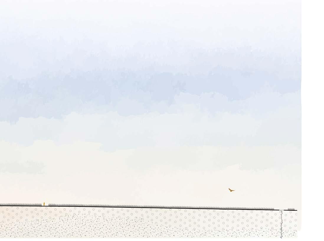
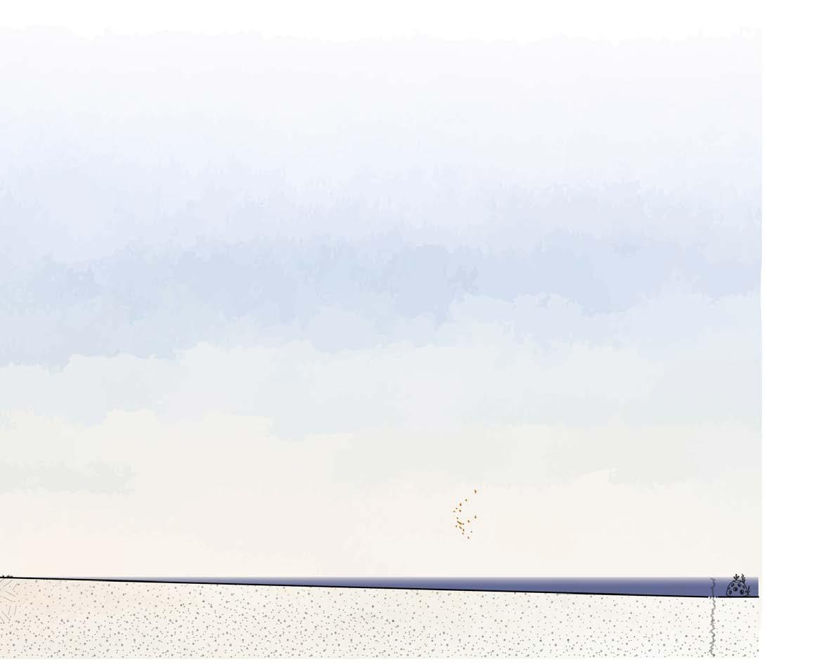
Three processes have a dominant influence on the landscape, and each requires its own approach. Along the coast, wave action from the sea has the greatest impact. Further inland, land erosion plays a major role, while along the river, river flow determines the dynamics—especially at the point where it meets the sea. There is no single, uniform solution: each process requires targeted measures at the locations where its impact is greatest.
Waves and sea-level rise are unavoidable realities. The design therefore focuses on mitigating and hard measures that reduce the force of the sea. At the river mouth, where river flow and wave action come together, additional safety is required. Here, alongside mitigating interventions, a hard measure is introduced as a safety net for moments when natural or soft solutions do not provide sufficient protection.
The design is conceived as a coherent system. If one measure fails, a chain reaction occurs: when waves are not broken, erosion intensifies in certain areas and flood defences must be raised ever higher. When land continues to erode, any water barrier loses its effectiveness and the safety of people can no longer be guaranteed. If space is not created for the river, the river will claim that space itself. Only by addressing all aspects of the problem together can a sustainable and harmonious balance be achieved.
Because this integrated approach is being applied here for the first time in this way, visibility and experience are essential. The area has few economic drivers, but by adapting the network and making the landscape accessible, it gains new meaning. Residents and visitors can experience how human and natural measures come together, and how wind, water, and soil are brought into balance.
The design demonstrates that no single solution provides the answer; rather, it is the coherence between measures that creates a future-proof landscape.


(P. 116 & 124)
Villages
Important villages
Main roads
Hiking trails
Historic hiking trails
River
Channels
Inundation area
Sea Agriculture
Drowned Kingston
Mudflats
Marshlands
Wet grassland
Forest
Vegetation embankment
Dike
Lookout house
Campsite
WWII defense line
Reef balls
Bridge Historic bridge
Special tourist spots
Sight lines
Zoom-in areas
Military area
Airfield
Contour lines
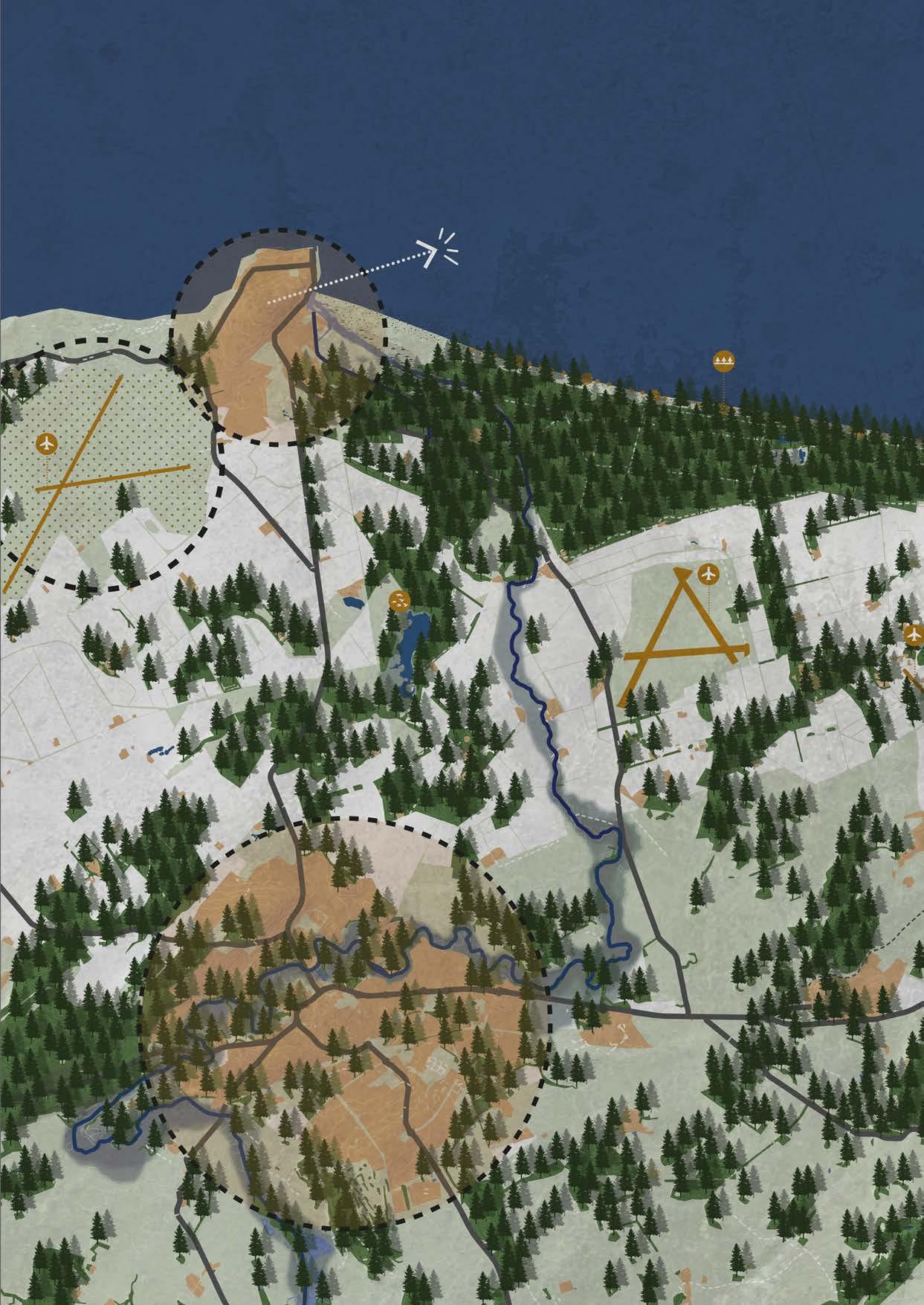
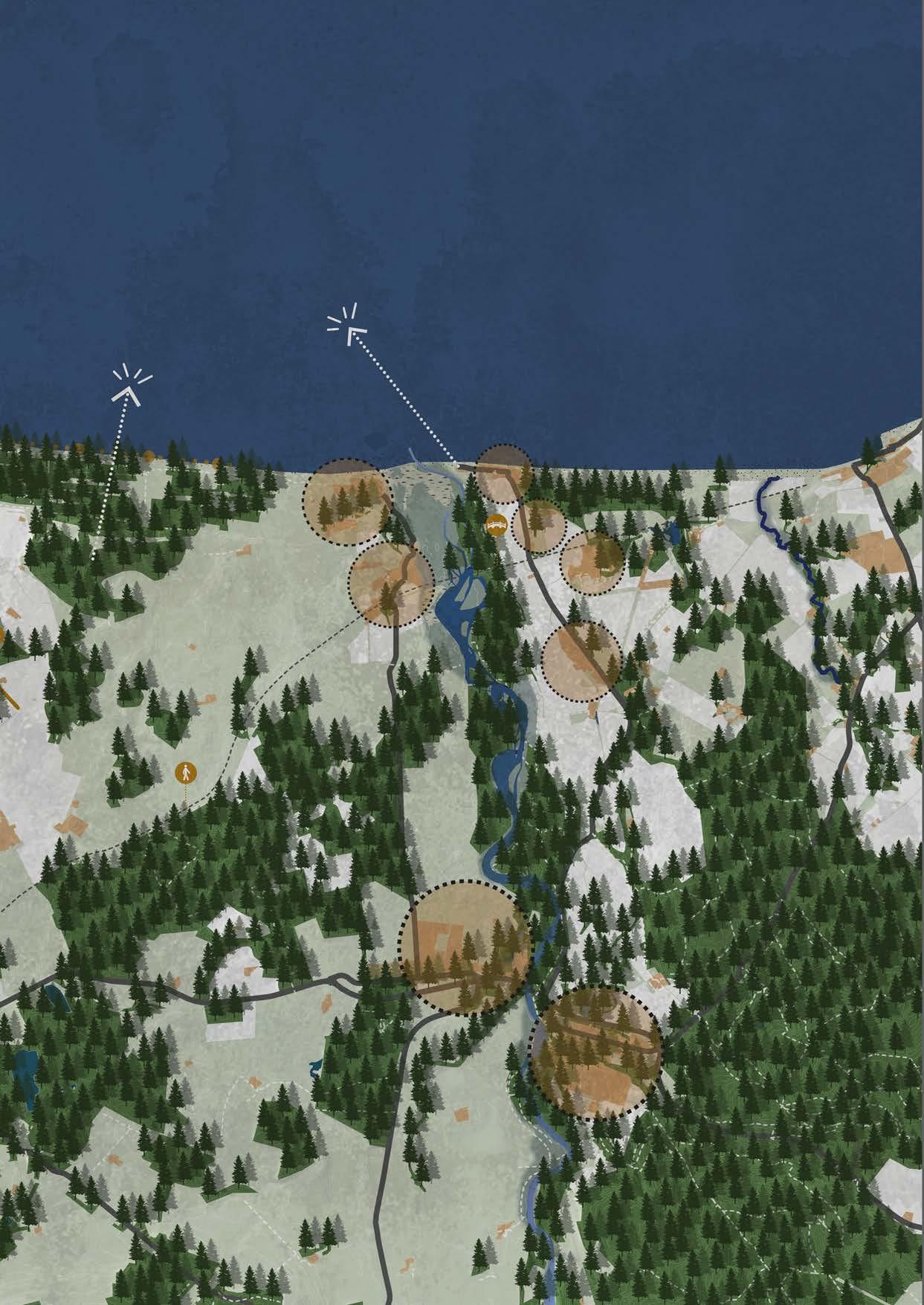
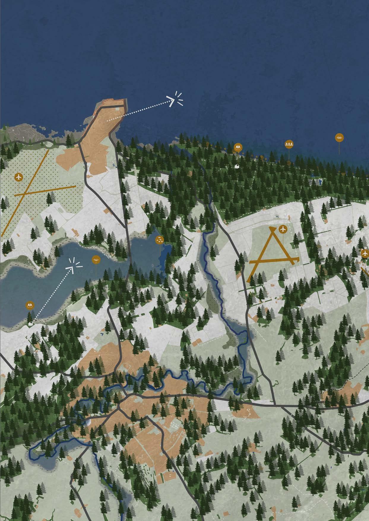
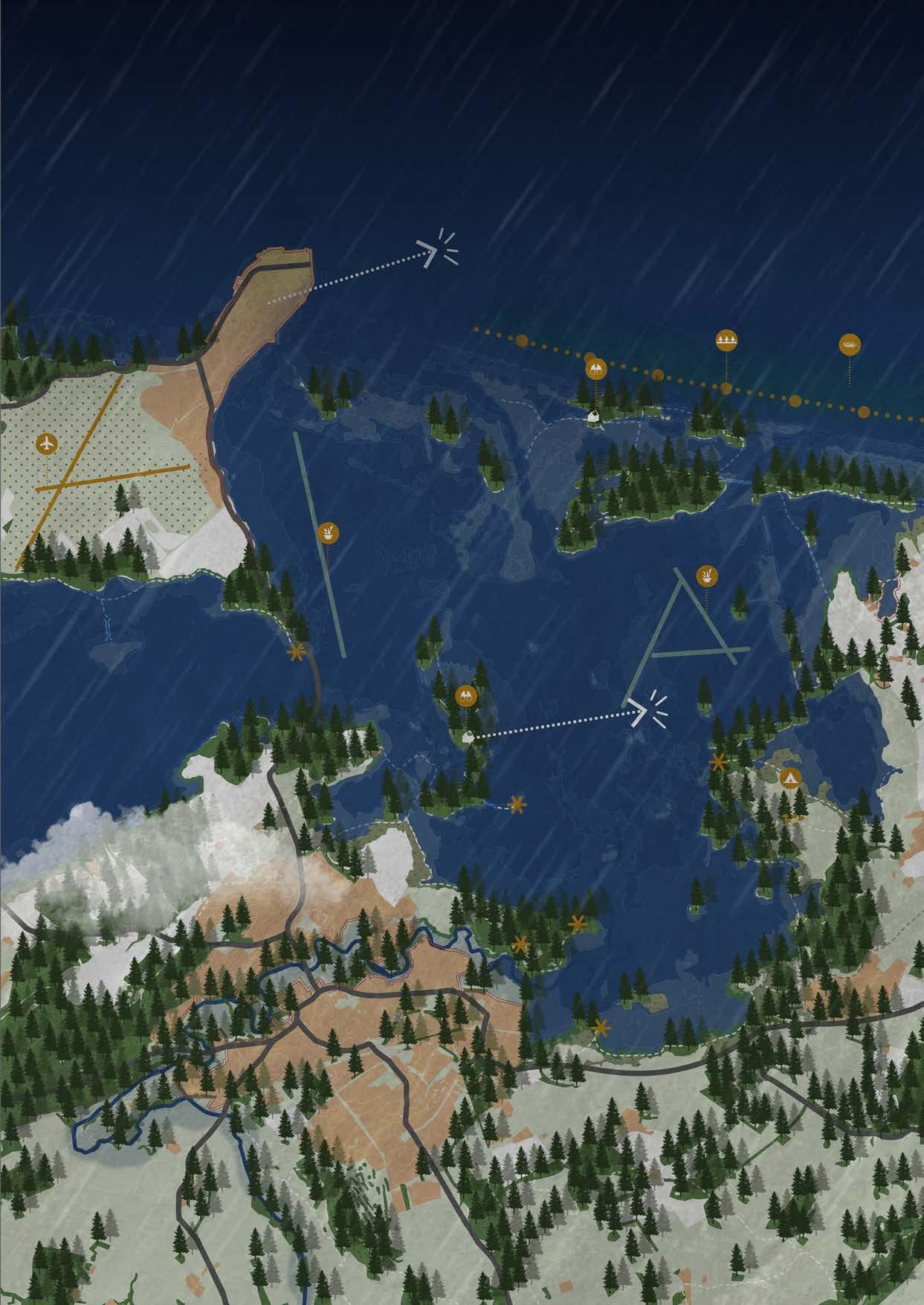
The design begins in 2025 and describes the current situation of the bay and the hinterland of the Moray area. The village of Lossiemouth is located directly along the coast. To the east of the village, the River Lossie discharges into the sea. To the southwest of Lossiemouth lies a military airbase.
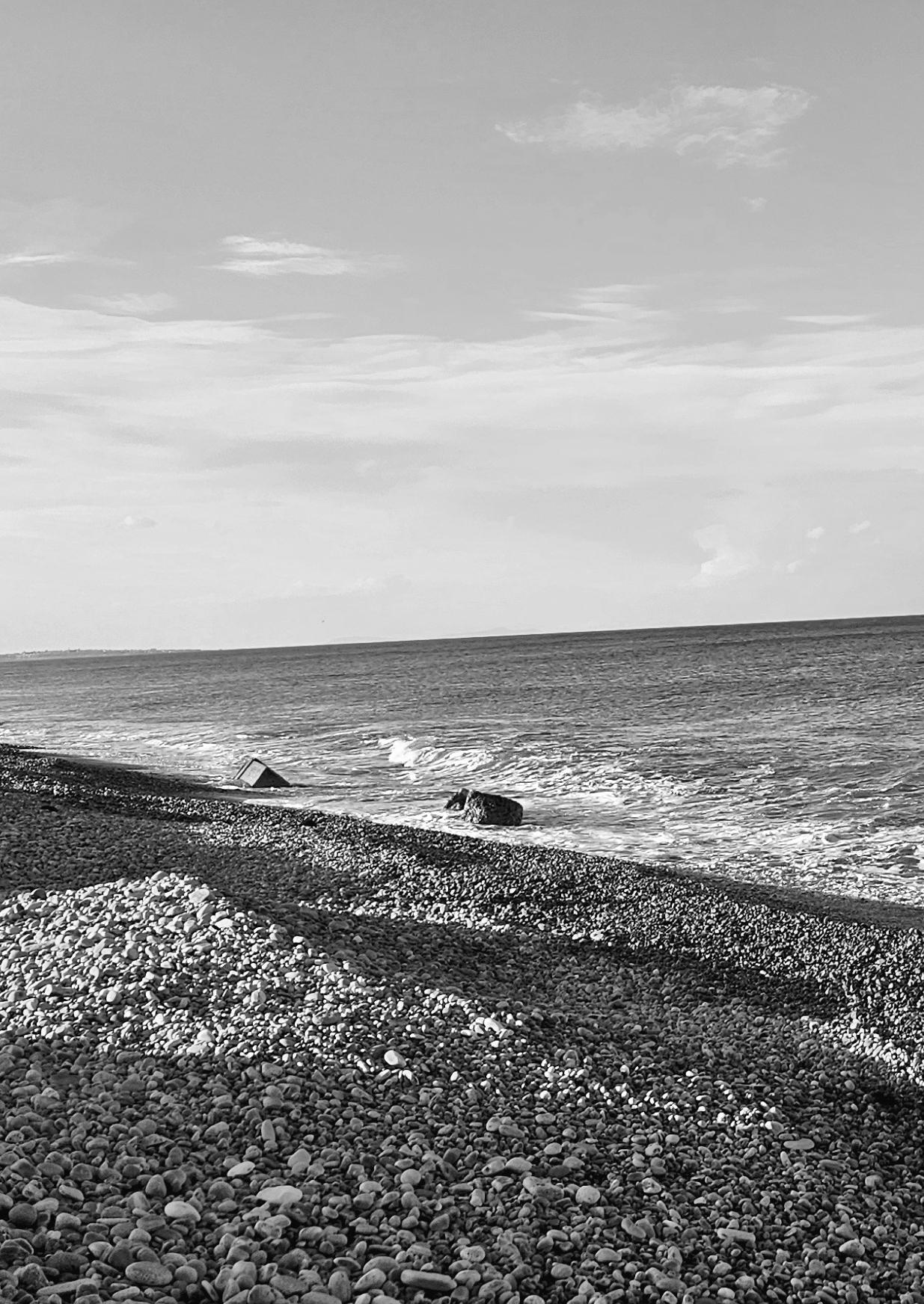
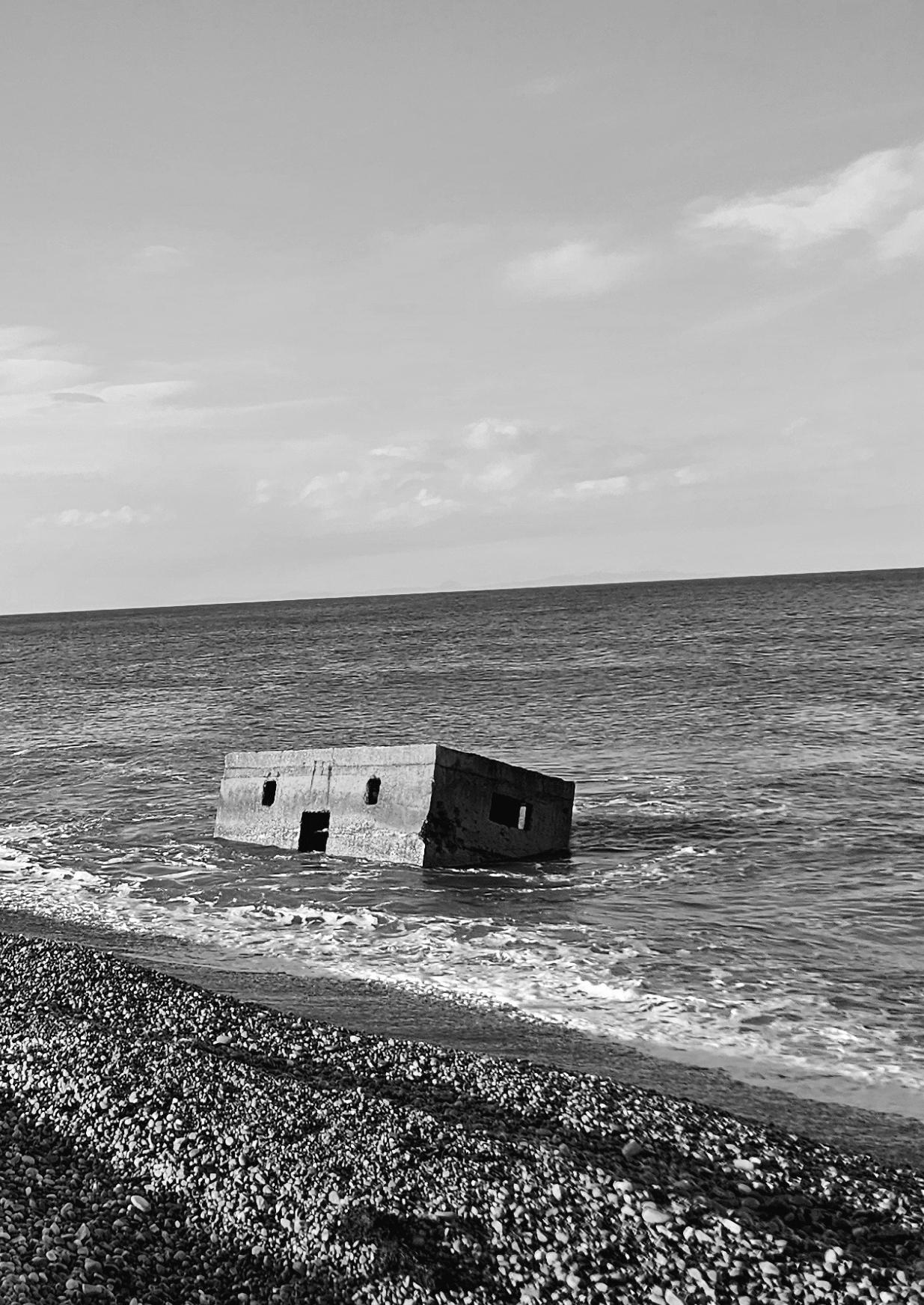
To the south of the map lies the city of Elgin. It is clearly visible that the River Lossie flows from west to east straight through the city before meandering through a low-lying landscape towards the sea. In the centre of the coastal zone, a defensive line approximately 6 kilometres long, dating from the Second World War, is present. This structure is gradually being absorbed by the sea as a result of coastal erosion.
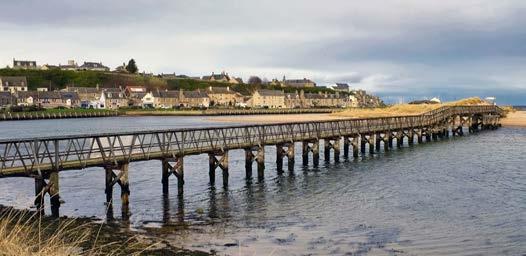
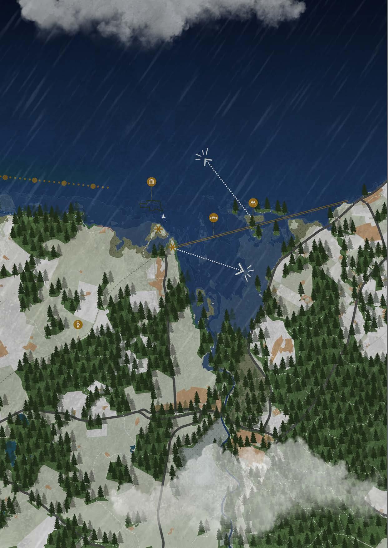
To the east of the map, the large River Spey discharges near the village of Kingston and Spey Bay. Several villages are located along this river, including Garmouth, Bogmoor, and Fochabers. These settlements are under acute threat from both coastal erosion and the river itself, which increasingly overflows its banks. An old railway viaduct crosses the River Spey at Garmouth. Today, it is used as a crossing point along a historic walking route running from Elgin to Portgordon.
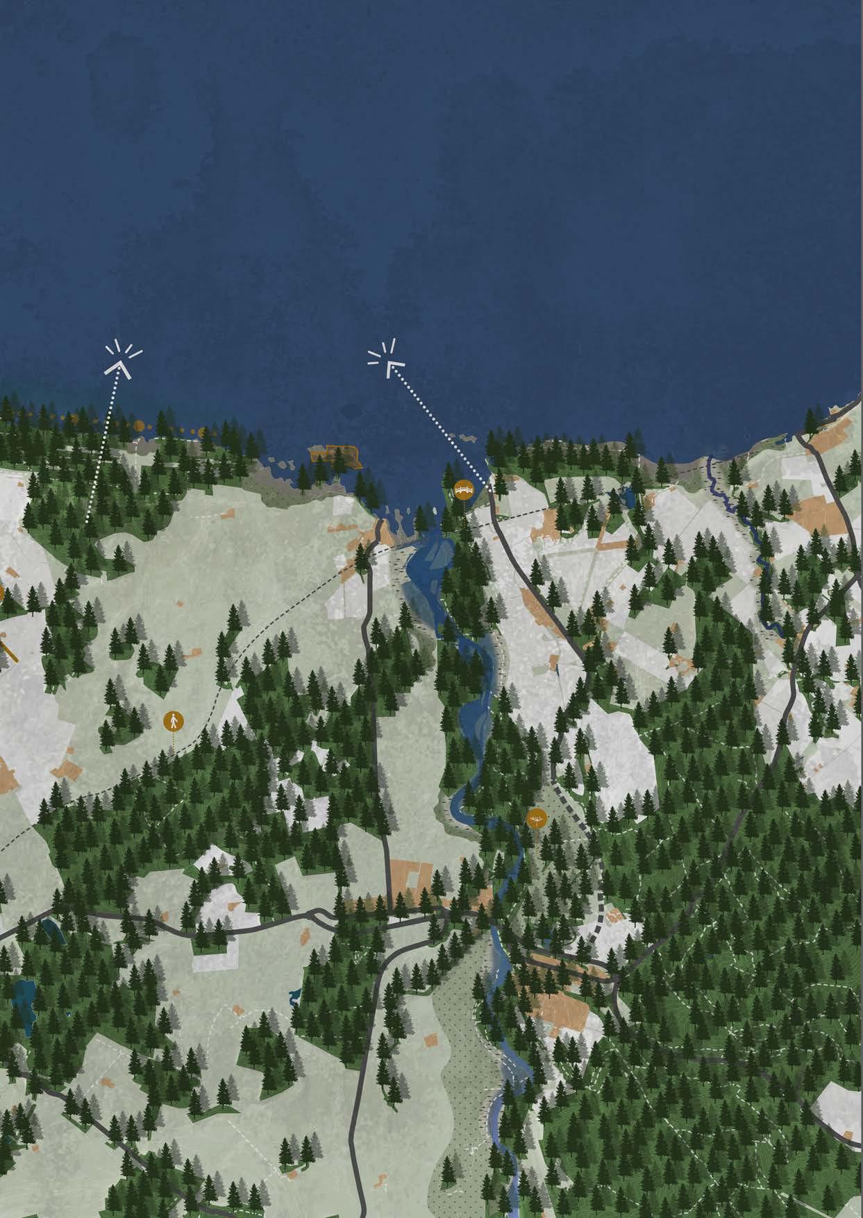
Because the level of threat is already acute, immediate measures are implemented in 2025 to guide erosion in a controlled and safe manner. A combination of hard and soft measures is applied. Offshore, concrete erosion elements are placed in the sea. By positioning these concrete elements offshore, kelp forests can develop. These form an important “blue forest” that acts as the first natural wave breaker for the land behind. At the same time, a new underwater environment is created, providing hunting and feeding grounds for seals and fish.
On land, near the River Lossie and Loch Spynie, the first residents relocate to new housing locations, as the initial wetting phase is introduced here. Both new villages and extensions to existing settlements and the city will be developed. The landscape undergoes a gradual transition from grassland and agricultural land to marshland, brackish water areas, and ultimately estuarine
landscapes.
To ensure that the remaining land and population remain protected during the wetting process and the formation of the new bay, hard barriers are constructed. At several locations, concrete retaining walls are installed with grids that allow vegetation to grow. The concrete ensures safety for the population and the hinterland, while vegetation within the grids softens the appearance of this hard protective line and integrates it into the landscape.
By 2057, the first major changes in the landscape have become clearly visible. East of the access road, the first residents of Lossiemouth have relocated to the eastern side of the village, where a new residential area has been developed.
South of Lossiemouth, an area has become wetland after no longer being artificially drained since 2025. This area has gradually developed from marshland into a large lake with a low water level. Loch Spynie remains recognisable, as it lies deeper than the surrounding landscape. Additional areas along the River Lossie have also been inundated. At the river mouth, erosion is clearly visible: a significant area has disappeared. Whereas brackish water initially developed closer to the sea, this zone has now shifted further inland. The Second World War defensive line is now completely submerged.
The first two villages, Kingston and Spey Bay, have disappeared due to erosion. Between 2025 and 2057, residents were forced to relocate to newly designated safe housing locations. The bridge that forms part of the historic walking route between Elgin and Portgordon remains intact, but is gradually being affected by the sea. The River Spey has been given more space as agricultural activities have been relocated to other parts of the Moray area. At the mouth of the Spey, erosion is also clearly visible, and the delta has now developed around the location of the bridge. By creating space for the river, new roads have been constructed while existing routes have been abandoned.
In 2057, both hard and soft measures are once again implemented to allow erosion to continue
in a safe and controlled manner. The village of Lossiemouth is provided with a reinforced dike, extending from the concrete vegetated dike. This dike is necessary to protect the village against rising sea levels and increasingly severe storms.
Along the new access road between Elgin and Lossiemouth, on the side facing open water, reef balls are installed. These serve first as an abstract reference to the former access road. In addition, they function as wave breakers, reducing the force of currents and waves during storms and thereby protecting both the hinterland and the access road. Finally, the reef balls contribute to the development of underwater flora, providing feeding grounds for fish. Because these reef balls are located in brackish water, a different underwater ecosystem develops here compared to the kelp forests along the open coastline.
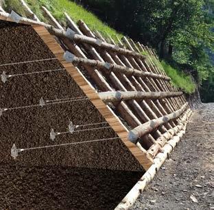
As described earlier, both the River Lossie and the River Spey are given more space to safely discharge water to the sea in the future. To prevent the rivers from undermining their banks during extreme storms when this space is fully utilised, krainer walls are installed at strategic locations. These are sloped structures composed of anchored willow trunks. As it is likely that water will reach these krainer walls several times per year, they can develop into areas rich in flora and fauna during the intervening periods. The more vegetation develops, the stronger the root systems become, increasing the stability of both the soil and the slope. It is not problematic if parts of the vegetation are lost during storms; thanks to the stepped anchoring of the willow trunks, new vegetation can quickly re-establish itself.
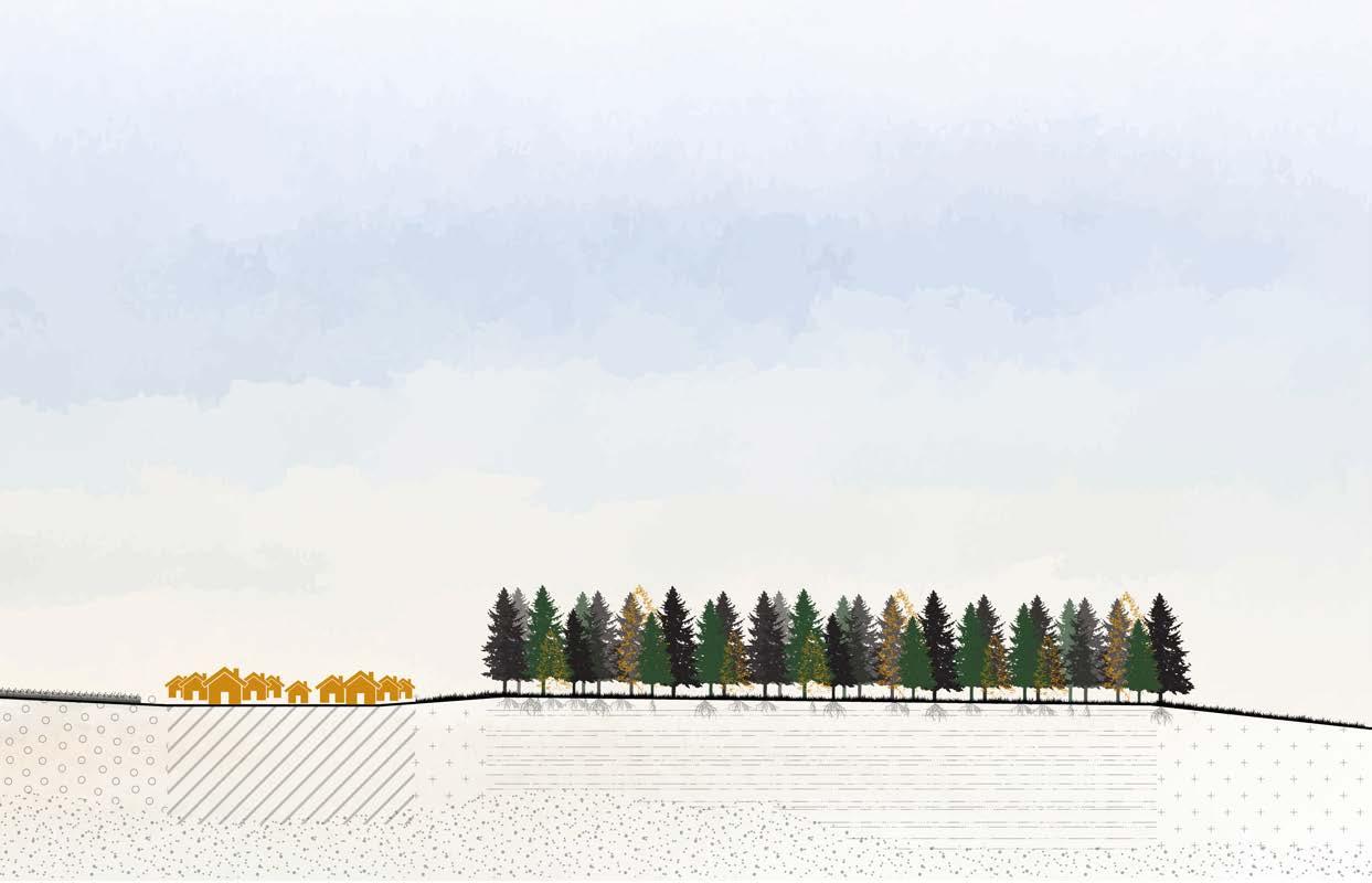
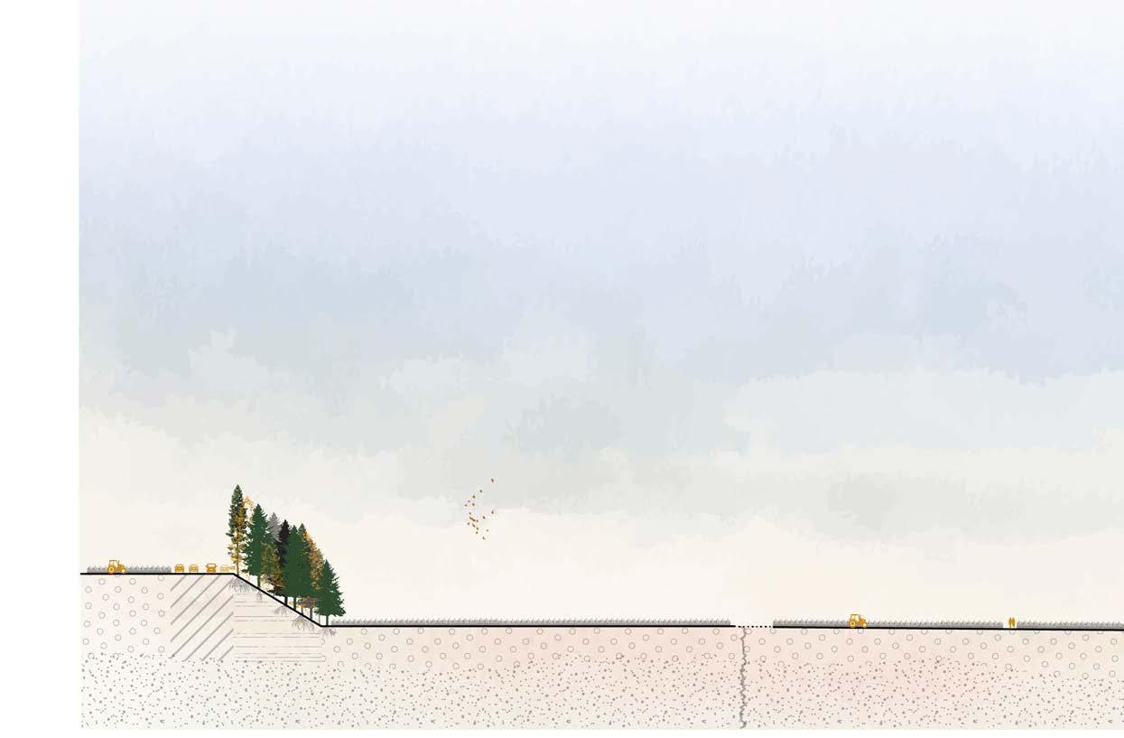
To further reinforce the slopes and reduce the impact of wind gusts during storms as much as possible, new coniferous forests are planted and existing coniferous woodlands are strengthened. Conifer trees have extensive and robust root systems that stabilise the soil while also acting as effective wind buffers.
1:150.000 N



Villages
Important villages
Main roads
Hiking trails
Historic hiking trails
River
Channels
Inundation area
Sea Agriculture
Drowned Kingston
Mudflats
Marshlands
Wet grassland
Forest
Vegetation embankment
Dike
Lookout house
Campsite
WWII defense line
Reef balls
Bridge
Historic bridge
Special tourist spots
Sight lines
Zoom-in areas
Military area
Airfield
Contour lines
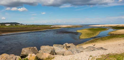
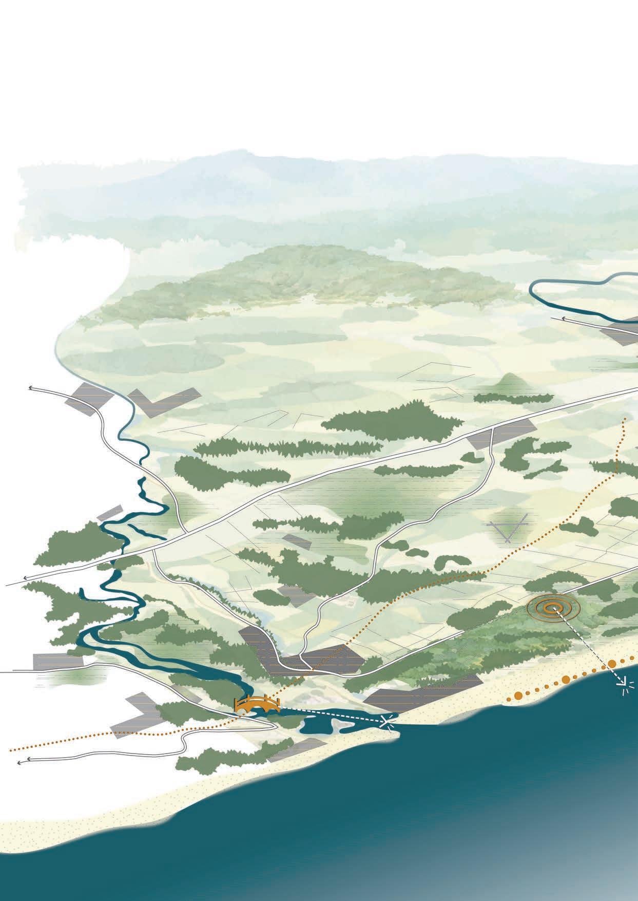
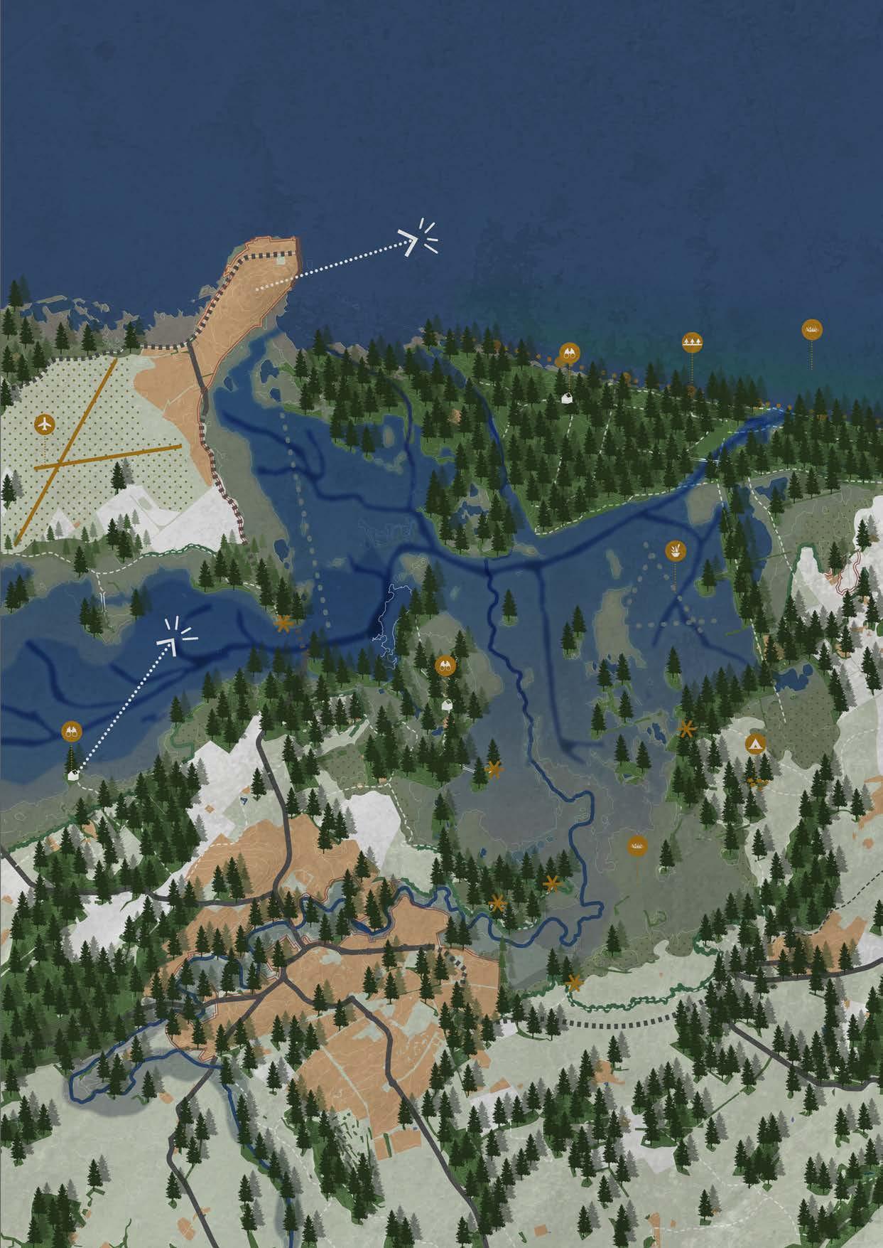
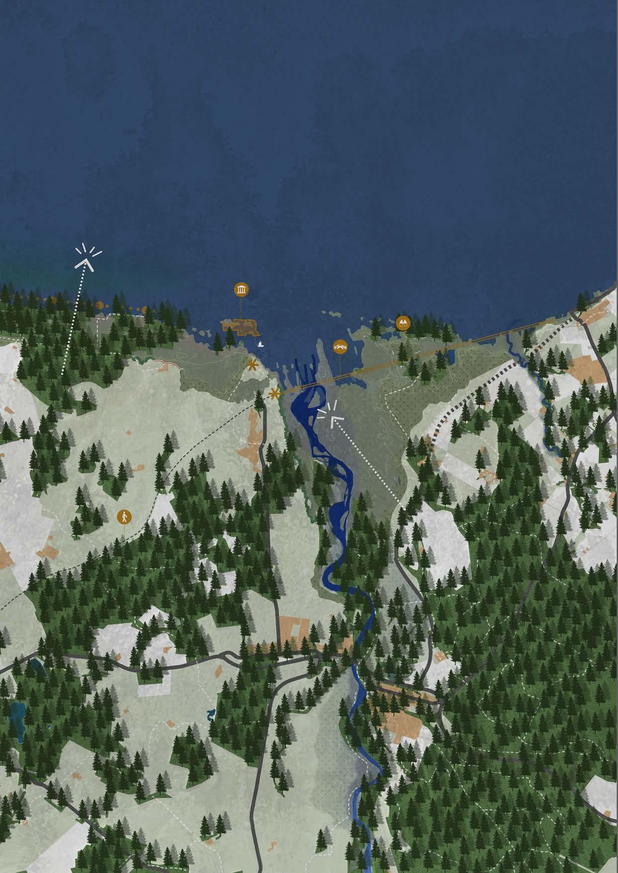
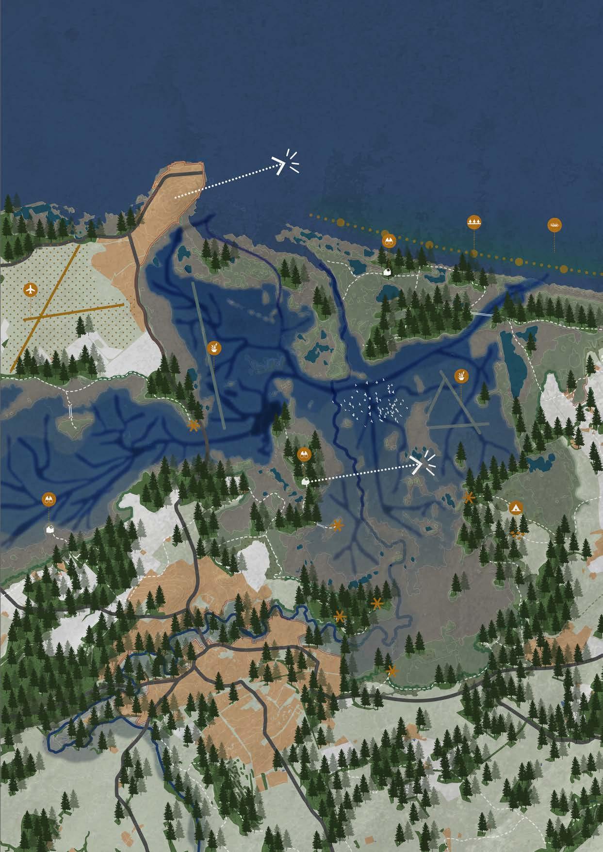
By 2075, the landscape has changed dramatically. Through three targeted dike breaches and the widening of the River Lossie, a new estuary has formed. At this location, fresh and salt water meet, creating a brackish landscape. Erosion has played a major role in this transformation and is clearly visible at the mouths of both rivers.
Off the coast, islands have gradually developed that function as a third, natural barrier against waves and storms. Closer to the shoreline, a blue forest (kelp forest) has formed, serving as the first wave breaker. Further offshore lies the Second World War defence line, which has now acquired a second protective function against waves and storms.
The settlement of Lossie has developed into an elongated village, with the head of the village still located at the water’s edge. The access route between Lossie and Elgin has been relocated and now functions as a dike that protects Lossie and the hinterland. This route has been constructed here because the distance between landmasses is smallest at this location. The road also serves as an additional safety barrier: sluice gates beneath the road can be closed during extreme storms. This ensures that the land on the western side of the bridge remains protected from high water levels. In addition, the sluice gates generate energy that is used by residents of the Moray area.
Changes have also taken place in Elgin. To give the river more space and increase the safety of residents, parts of the city have been adapted. Several access roads through and around Elgin have been relocated due to ongoing erosion. These roads are now situated in locations where erosion is expected to play a role only after thousands of years.
Because a large area has been transformed into an estuary and the River Spey has widened through erosion, farmers have had to relocate. They have been provided with new agricultural land in the central and southern parts of the project area. In terms of surface area, agriculture has not had to give way to nature.
The mouth of the Spey has been heavily eroded, causing the delta to shift entirely behind the bridge. The bridge itself is no longer accessible, except for a small section, due to high water levels and
erosion. Near the new Kingston, part of the bridge has been preserved and redeveloped as a visitor hotspot. Old Kingston is now visible only from the water and is regarded as a historic village that is gradually being reclaimed by erosion and the landscape. Along the river, several roads have also been relocated to ensure their long-term safety.
As the Spey has been given more space, the river has begun to meander again, as it did in the past. This has led to the formation of side channels along the banks and within the river itself. These channels are often shallower and create a diverse underwater environment. Different types of vegetation can grow here, and fish and amphibians find suitable habitats.
All these landscape transformations have also created a new recreational environment. Several historic walking routes remain accessible, while new paths have been established in locations that will remain safe in the long term, taking erosion into account. By this time, approximately 80% of these routes have been realised. On the higher hills, several campsites have been developed with views over the landscape. Along the walking paths, which pass through different natural zones, birdwatching hides and platforms have been installed where visitors can pause and observe flora and fauna. Some paths are temporarily inaccessible during high water, contributing to an intense and dynamic landscape experience.
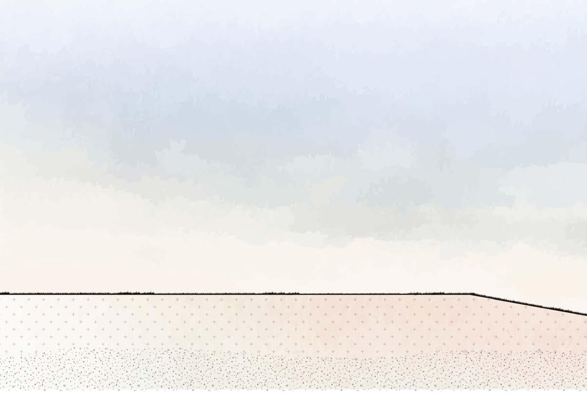
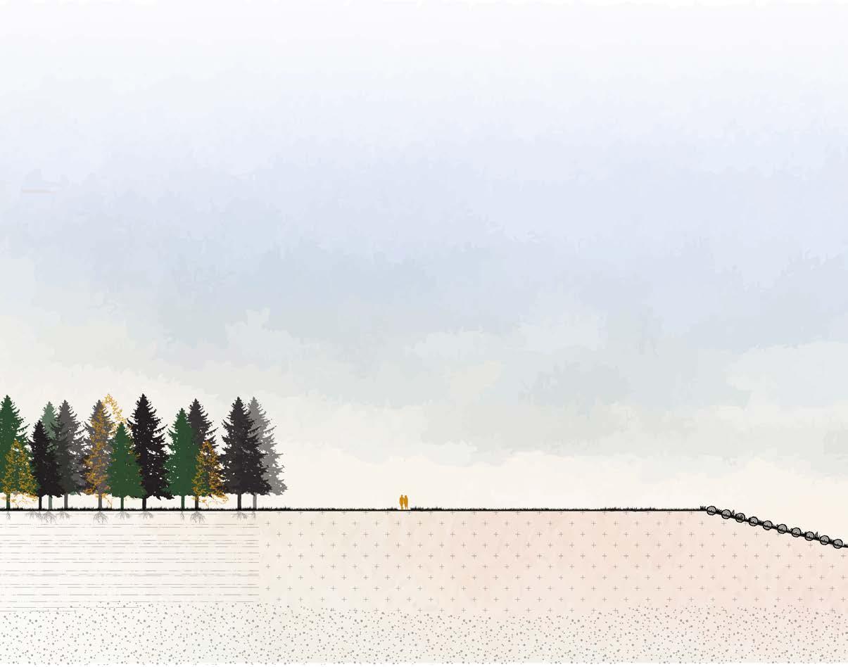
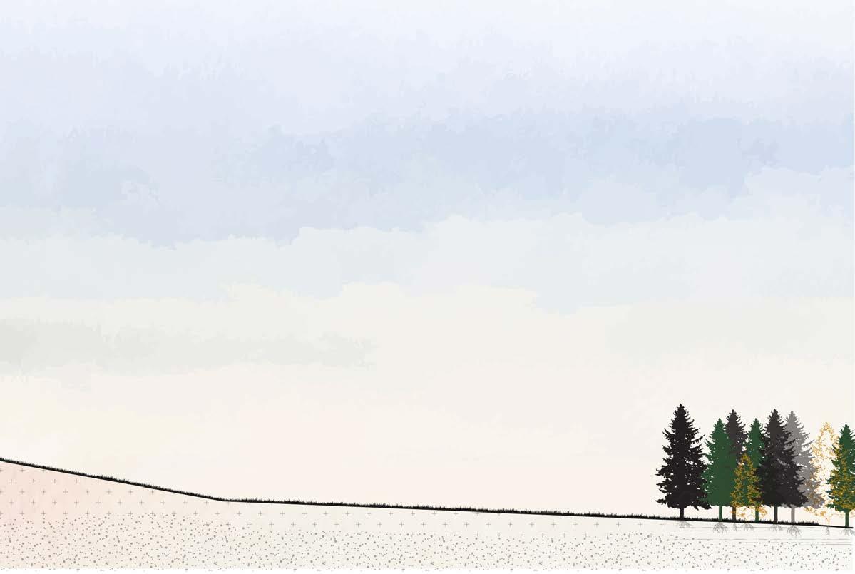
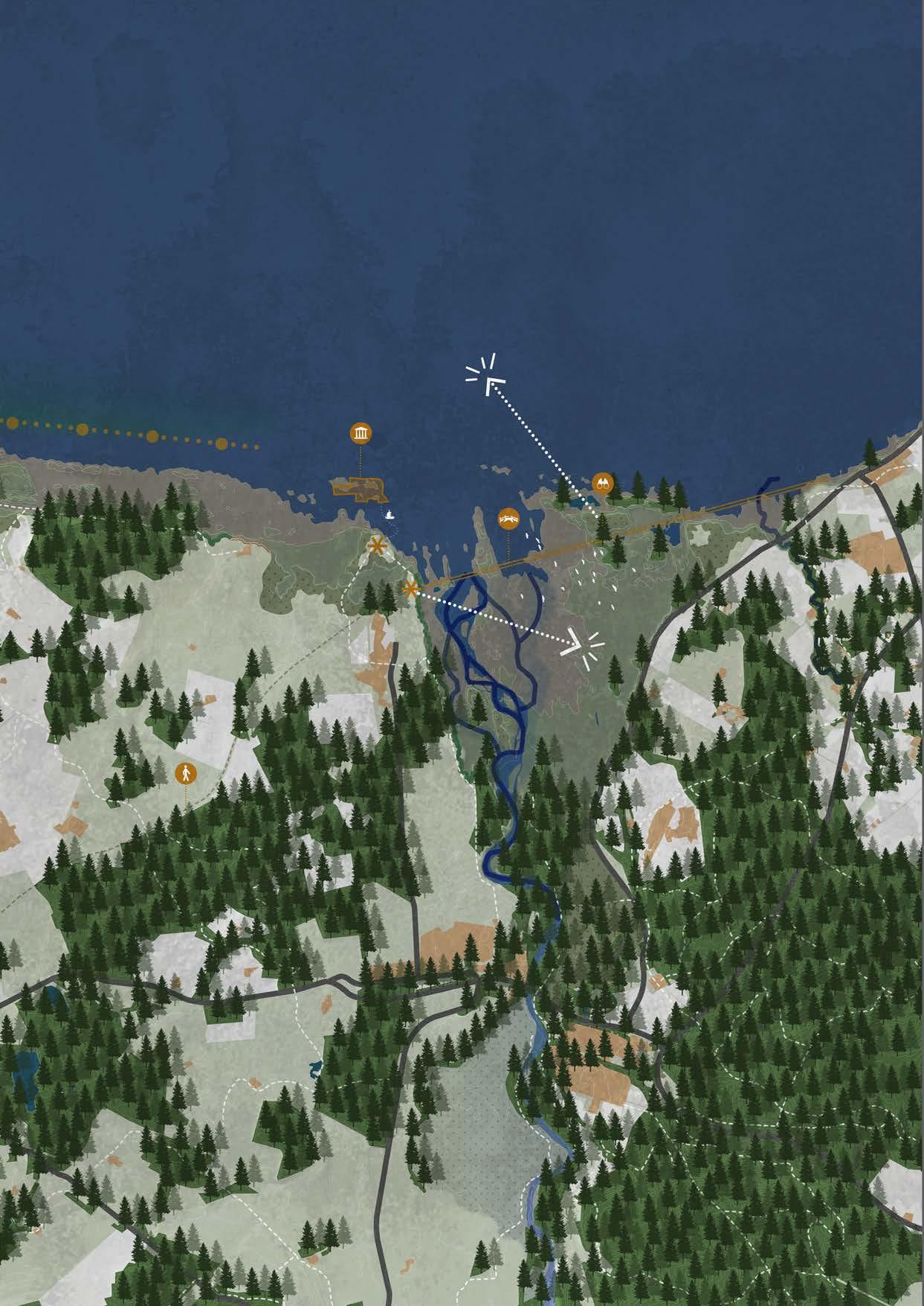
By 2100, the phased design comes to an end. Erosion has reached the higher and more resistant edges of the project area. As a result, the erosion process shifts from a human timescale to a geomorphological timescale. It is expected to take more than 300 years before visible changes in the landscape occur again.
After all measures have been implemented over the years, the landscape has developed into a diverse and vibrant whole in which both people and nature have found a safe place. As described earlier, the measures reinforce and complement one another. The result is a landscape that is economically, recreationally, and ecologically balanced.
The newly planted coniferous forests have now reached the same height as the older forests and will gradually replace them. The offshore islands
have continued to erode, causing parts of the coniferous woodland to disappear. Nevertheless, these islands continue to function as a protective line for the hinterland. The estuary has further developed and now exhibits great landscape diversity, including mudflats, salt marshes, wetlands, and both wet and dry reed and grasslands.
The rivers Lossie and Spey have been given sufficient space to safely discharge their water and are once again able to meander naturally.
Villages that have had to give way to natural processes have been given new functions within the area. By combining recreational routes with the implemented measures and former village sites, the landscape is not only experienced more intensely, but the local economy has also received a strong boost.
However, the calm and pleasant summer weather does not last throughout the year. On average, around nine severe storms strike the area annually. By giving space to nature, relocating people, and applying a combination of hard and soft measures, the landscape has been transformed, strengthened, and made accessible in such a way that storms can run their course here. Water may reach the lower edges of the landscape layers, but thanks to the implemented measures and the reinforcement of the existing landscape, safety remains assured.
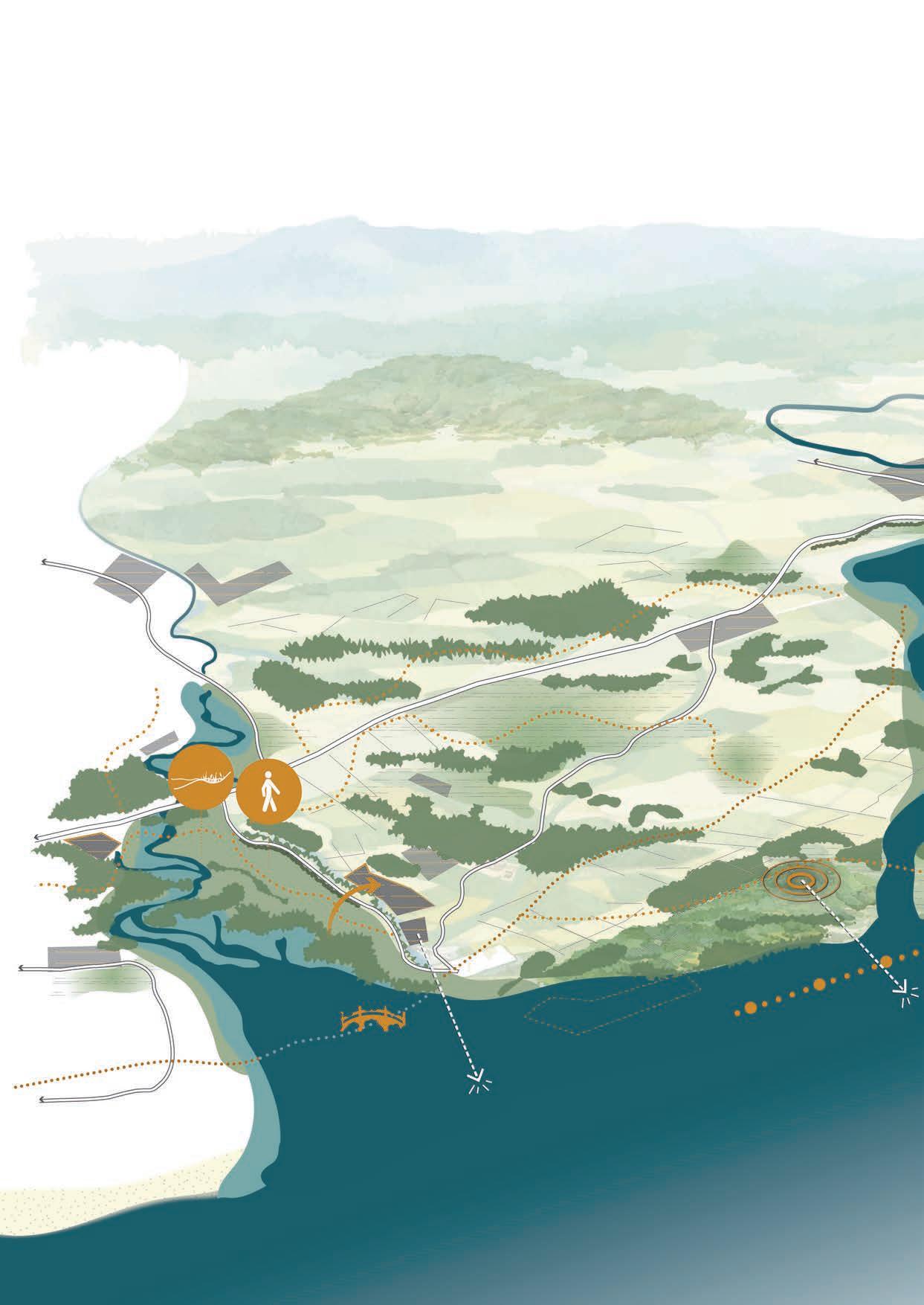
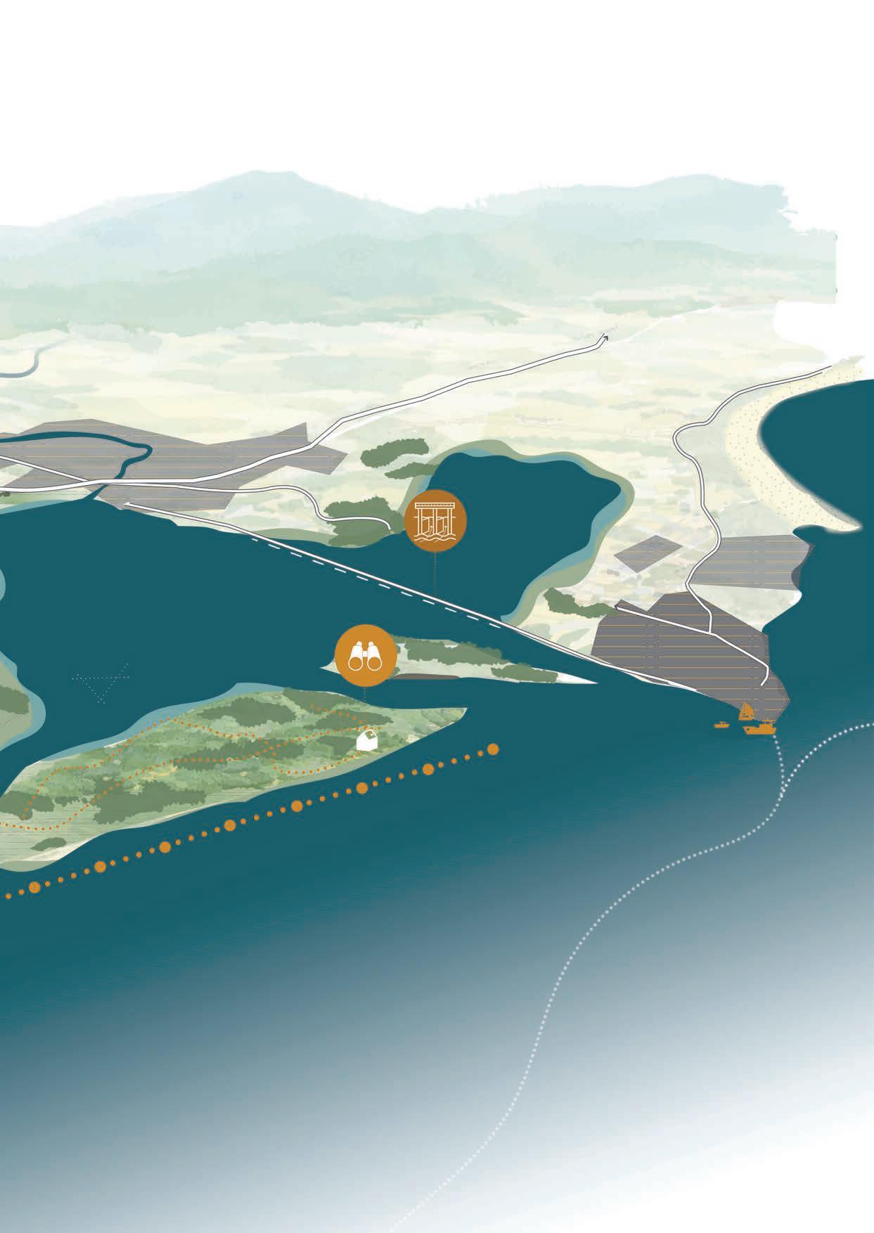
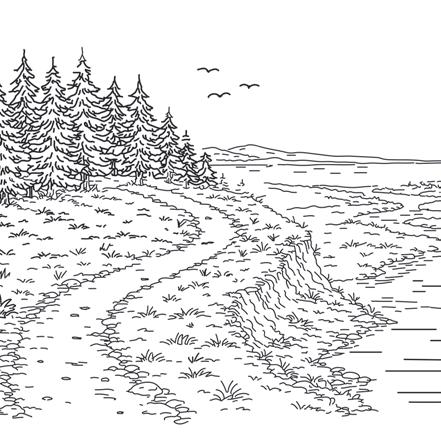
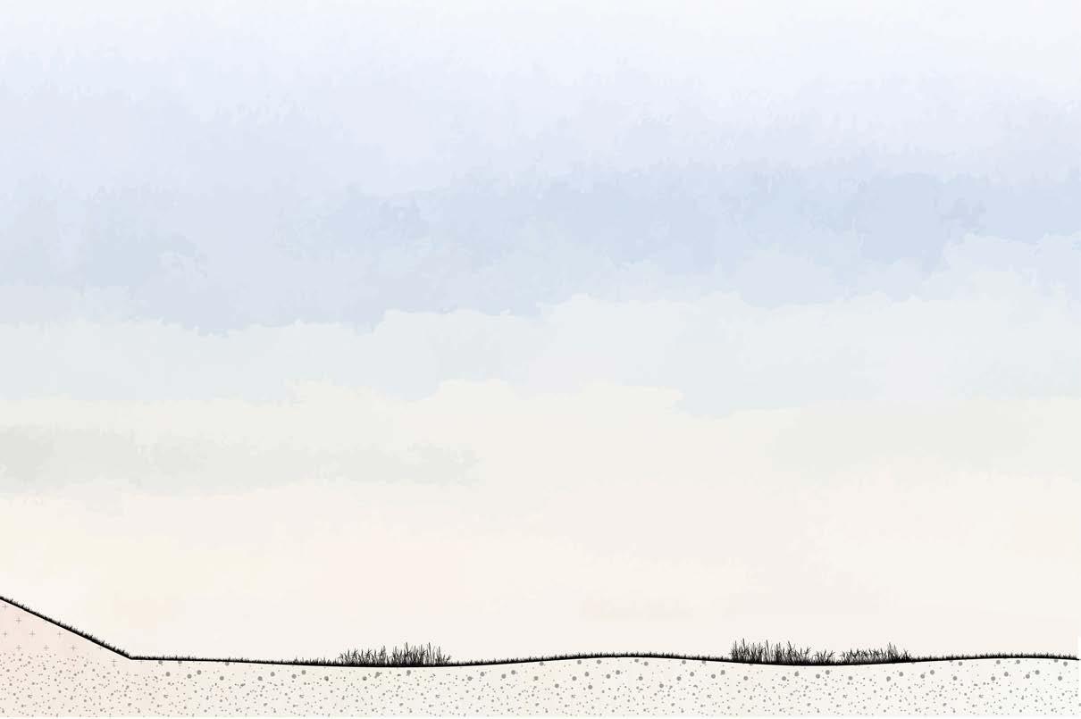
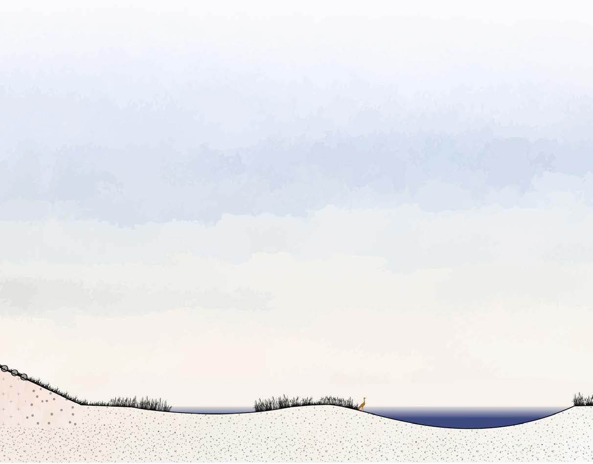
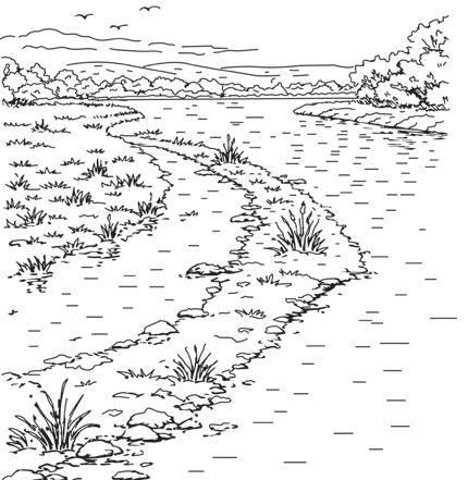
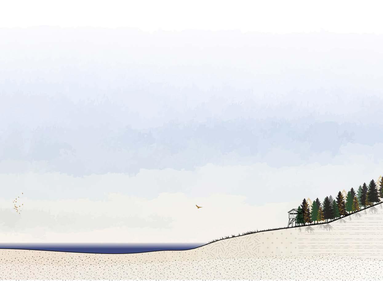
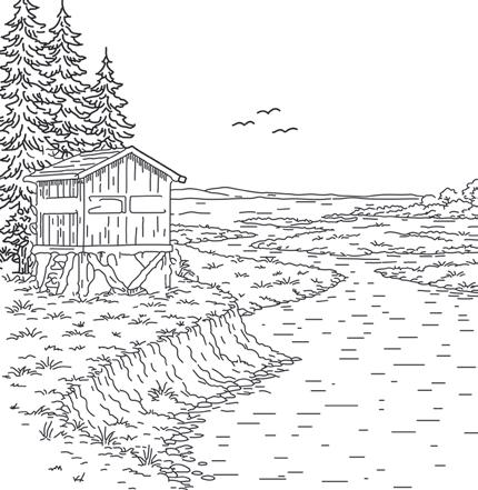
The Moray area has developed into a landscape with rich layering and great diversity. Both above and below water, biodiversity is high, with a wide variety of flora and fauna. The area ranges from delta to estuary and from wet to dry landscapes.
The tidal flats are influenced by ebb and flow twice a day. The base water level lies at +3.5 metres, with the tide adding approximately +1.5 metres during high water. Especially within the estuary, this creates an attractive habitat for fish, which use the area for foraging. The installation of reef balls has created two zones where algae and seaweed can readily attach and develop. Thanks to the three open connections to the sea and the twice-daily tidal cycle, there is a strong likelihood that seals also use the area as a hunting ground.
The delta area of the River Spey forms a very different environment, yet it is just as vibrant as the estuary. The meandering river, combined with tidal influence, leads to the formation of side channels along the banks. These channels are important spawning grounds for fish. Due to lower water levels, different plant species can establish themselves here, greatly increasing biodiversity in and along the river.
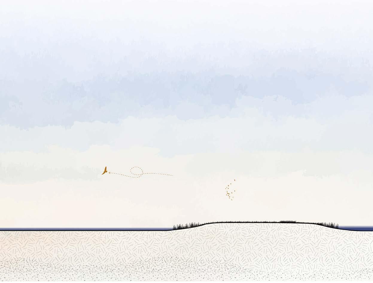
Mudflats are scattered throughout the area and are home to worms and shellfish, forming an important food source for birds. Adjacent to these are the salt marshes, which are flooded only occasionally—mainly during storms or heavy rainfall. The fluctuating water levels allow salttolerant plant species to develop. The area is rich in insects and therefore forms an attractive feeding ground for birds such as the dunlin.
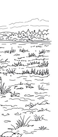
As the mudflats continue to develop, wet grasslands emerge, followed by drier grasslands at higher elevations. These areas are dominated by reeds and various grass species. During severe storms, these landscapes may be temporarily flooded, a condition that has been anticipated within the design. It is precisely here that the contrast between wet and dry landscapes becomes most visible and experiential. In the dry grasslands, insects dominate, while the wet grasslands provide suitable habitats for amphibians. For people, the area remains accessible except during storm conditions.
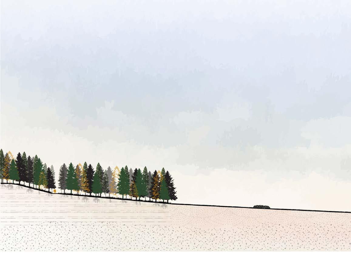
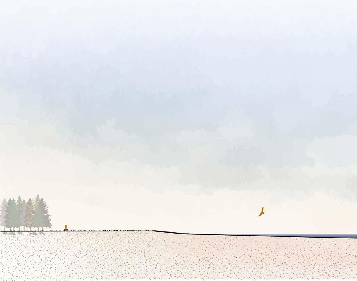
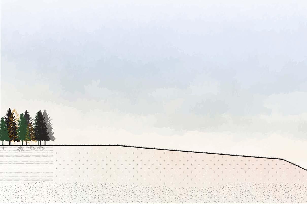
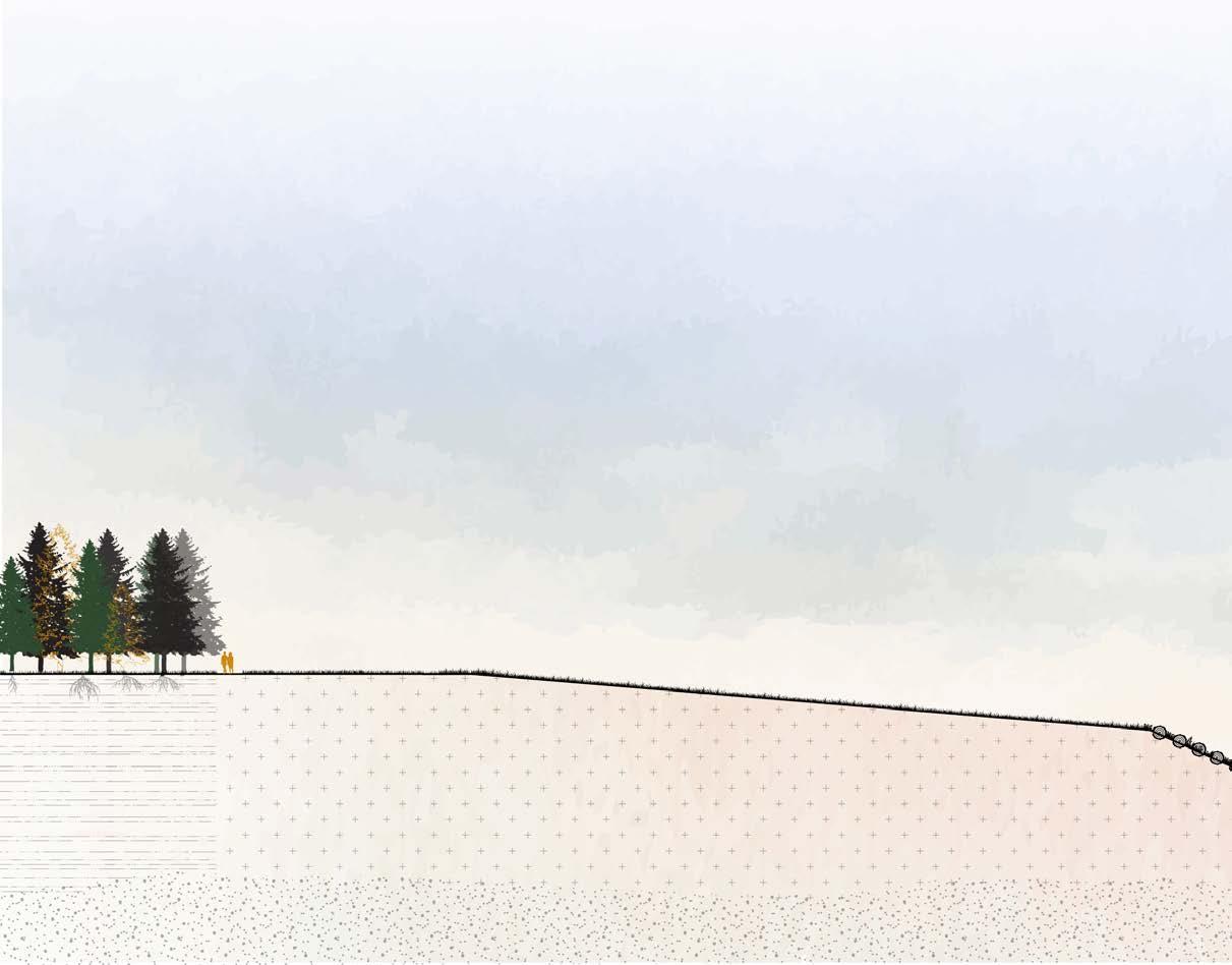
Several (historic) coniferous forests are located throughout the area. In some places, these forests have been strengthened through new planting, while in other locations entirely new coniferous woodlands have been established. This contributes to soil stability: conifers have extensive root systems that anchor the soil, support soil life, and reduce wind impact. Animals such as deer, foxes, birds, and small mammals use these forests as habitats and hunting grounds.
In addition, vegetated walls have been constructed that provide space for plants capable of growing on concrete and along vertical differences. The wallflower is a characteristic example. These walls attract large numbers of insects and also provide habitats for species such as salamanders.
Finally, offshore concrete defence elements play an important role in the development of an extensive kelp forest. Kelp naturally grows along the Scottish coast and is further supported here by the installed structures. The kelp forest is rich in underwater life and also serves as a hunting ground for seals. Over time, the Second World War defence line will also become colonised by kelp as these structures become increasingly submerged.
The changing landscape has created a new recreational layer. Water safety formed the starting point for this area, and new recreational spaces have been developed in connection with it. The historic walking route between Elgin and Portgordon is no longer directly connected to the city and villages due to erosion at the former railway viaduct. Instead, the route has been incorporated into a new network of walking paths that connect various hotspots.
The old railway viaduct has been partially preserved and adapted as a viewpoint overlooking the Spey delta. On clear days, the partially submerged and eroded remains of Kingston can be seen to the left. Nearby, a small harbour allows visitors to moor or board boats to visit Kingston at low tide. From here, walking paths extend through the delta and across various landscape layers, including mudflats, salt marshes, and grasslands. Not all paths are continuously accessible: during high tide, lower routes are submerged. This makes the rhythm
of ebb and flow visible and tangible for visitors.
Birdwatching hides are distributed throughout the area, offering shelter from the wind and safe places to observe birds and other wildlife. These hides are not always accessible during high water, but they themselves remain dry and safe. New campsites are located on higher parts of the landscape, offering views over the area. Walking routes connect directly to the campsites, allowing visitors to begin their journeys from there.
The walking paths connect nature, villages, and the city of Elgin. Those following the northern coastal route can see the Second World War defence line lying offshore.
The experience of the area is never the same. Ongoing erosion keeps the landscape in constant motion, continually altering views and experiences. Visitors can observe how natural processes affect elements such as the bridge at Kingston, the village itself, and the historic defence structures. It is a dynamic landscape that continues to surprise and offer new perspectives.
Not only the landscape and recreation benefit from this transformation; the regional economy is also revitalised. Several new access roads have been constructed to ensure safety during high water and to strengthen connections between the various villages and the city of Elgin.
Due to coastal erosion, several villages have been relocated. Existing villages, such as Lossie, have been expanded, and new settlements have been established. The new Kingston, for example, is located on the tip of the cliff near the bridge. This site is considered safe due to the harder subsurface and the very slow rate of erosion. Garmouth has also been relocated. Originally, this village had an elongated structure with a strong relationship between land and water. The new location has been chosen to restore this connection.
Recreational routes and access roads are directly linked to the villages, allowing walkers and other visitors to reach them easily. Many hotspots are located within or near villages, encouraging visitors
to park in the village and continue on foot. This stimulates movement through the villages before or after visiting a hotspot. The establishment of cafés and eateries restores vitality to the villages and revitalises tourism, contributing to an economic restart. New campsites in the surrounding area further strengthen this development.
In this way, not only does the landscape gain space to evolve, but the human layer is also reinforced. The area becomes attractive once again for both tourists and residents: a place rich in experience, where safety remains the guiding principle.
N 1:150.000
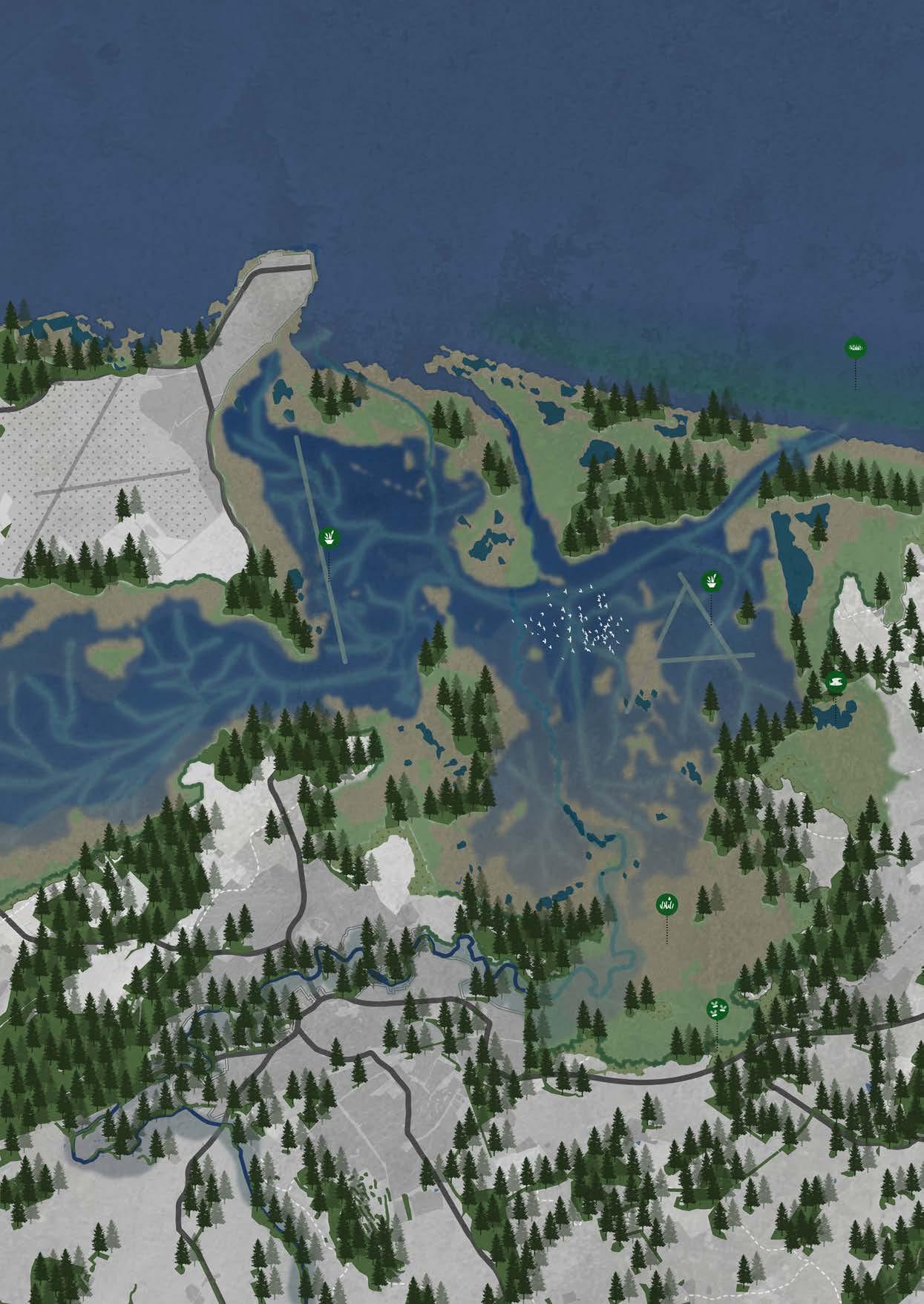
LEGEND


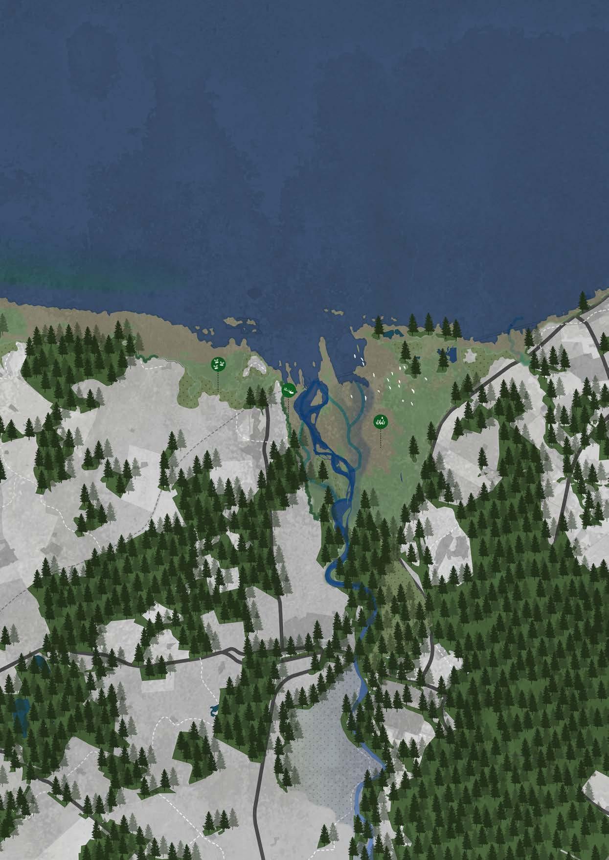
Forest
Wet
Mudflats
Marshlands
Kelp forest
Embankment
Reef
Low swamp Tidal mudflats / Kelp forest High swamp
Lugfish (Arenicola marina)
Common ragworm (Alitta virens)
Mussels (Mytilus edulis)
Striped bass (Perca fluviatilis)
Large marsh screen (Helosciadium nodiflorium)
Eelgrass (Zostera)
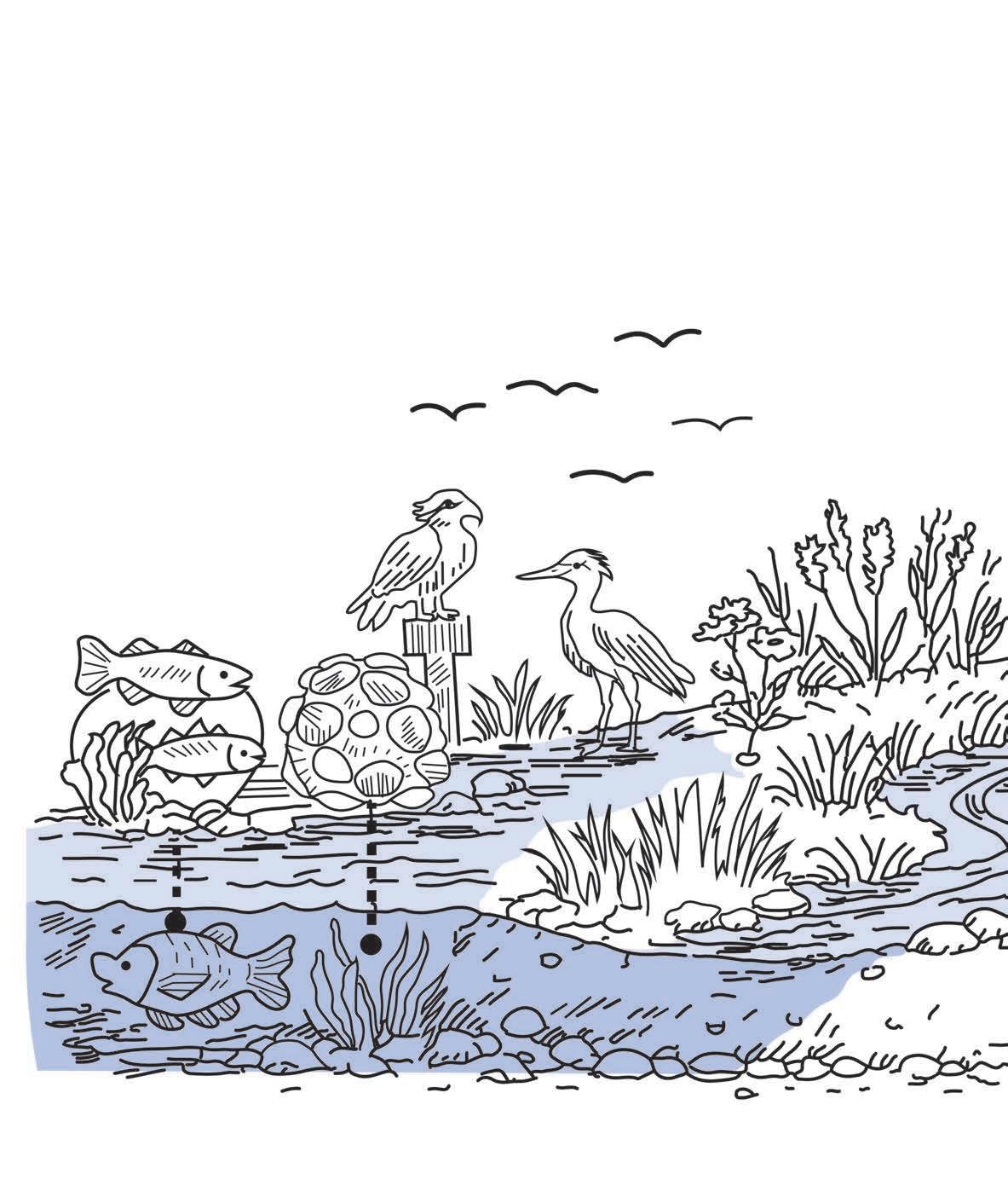
Osprey (Pandion haliaetus)
Sea orache (Atriplex)
Sea milkweed (Glaux maritima)
Salt marsh grass (Triglochin palustris)
Heron (Ardea cinerea)
swamp Grassland
Spring tide (Coniferous) Forest (Tripolium pannonicum) (Phragmites australis) species (Carex) fescue (Festuca rubra litoralis)
Goldenrod (Solidago) Grasses (Poaceae)
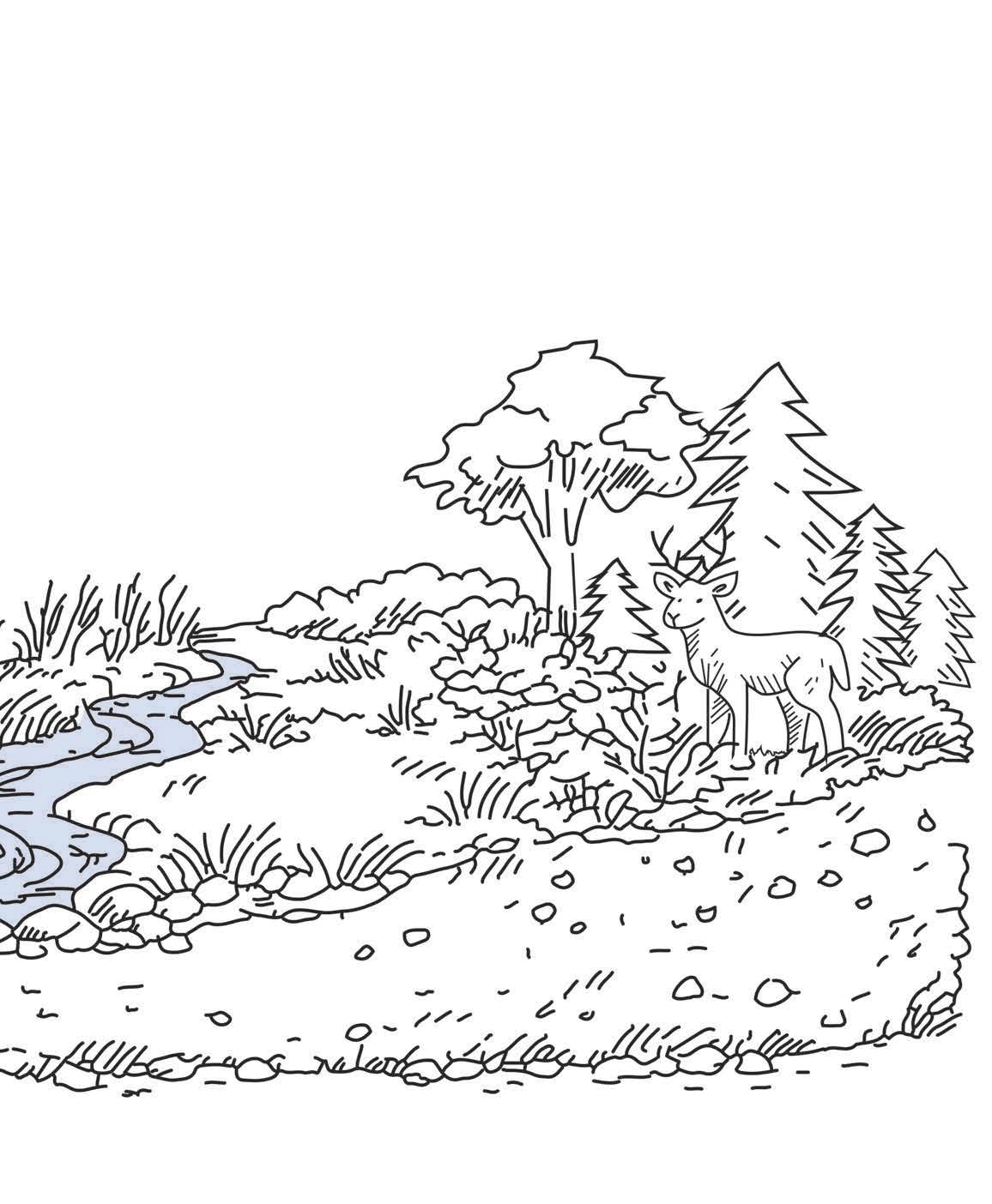
Female fern (Athyrium filix-femina) Bilberry (Vaccinium myrtillus) Pine (Pinus sylvestris)
Cedar (Thuja) Deer (Cervidae)
N 1:150.000
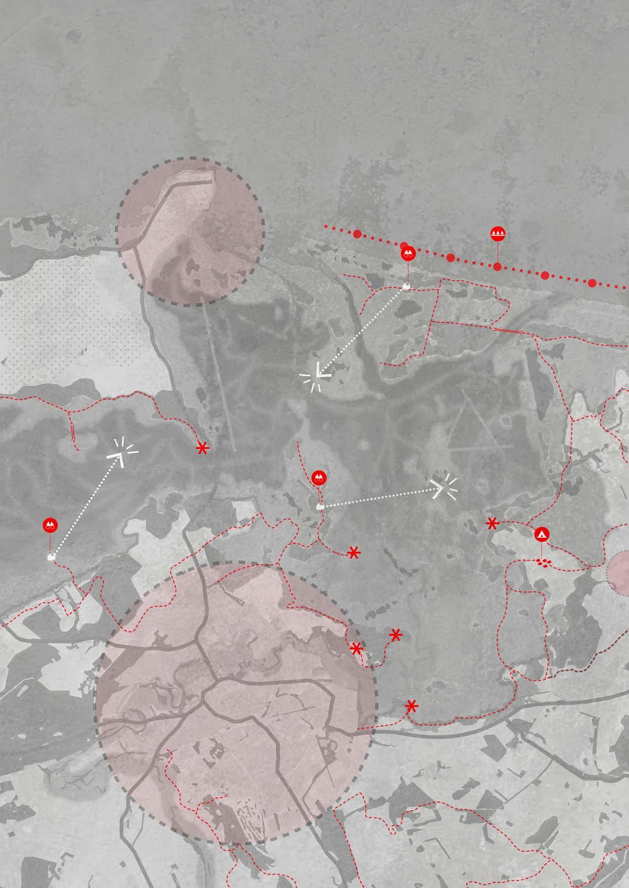
LEGEND


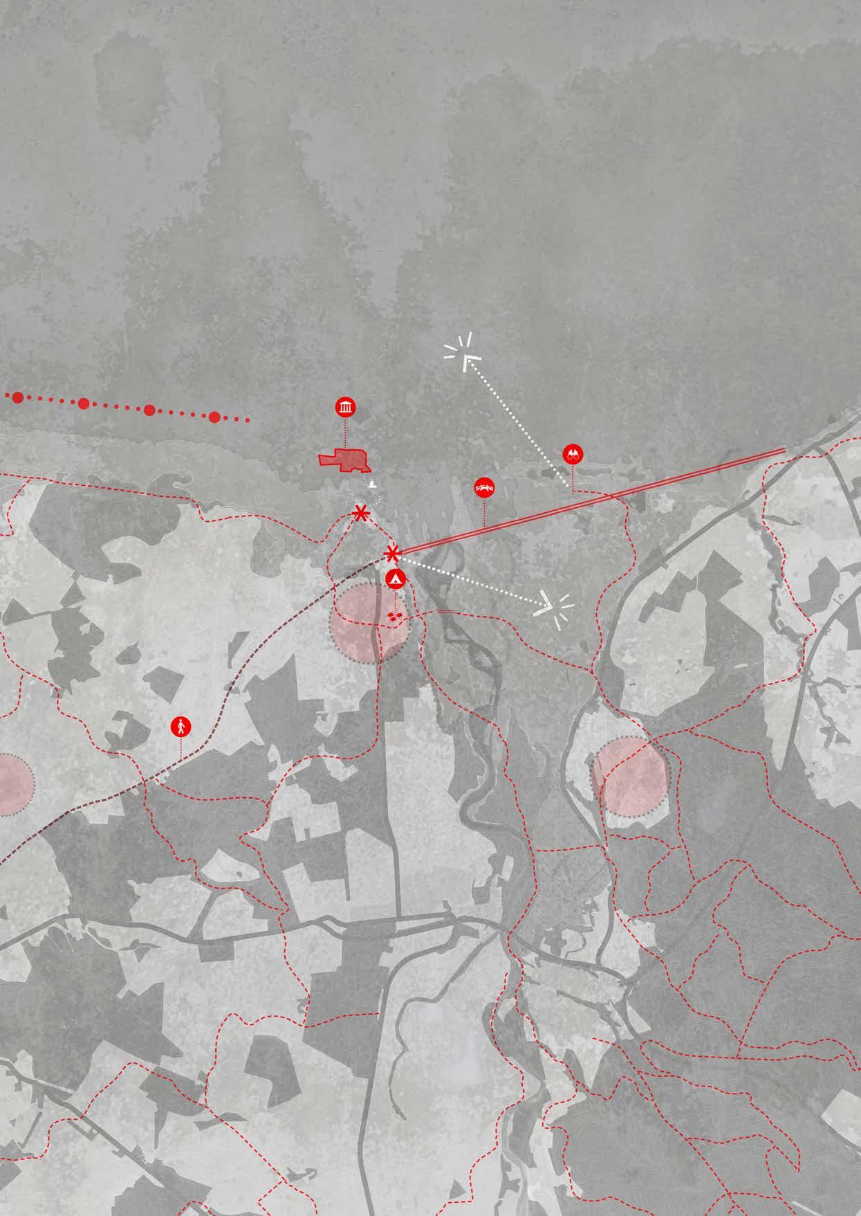
Kingston Lookout
Historic Bridge Campground
WWII Defense Line Hiking Trails
Recreational Hotspots Sight Lines
N 1:150.000
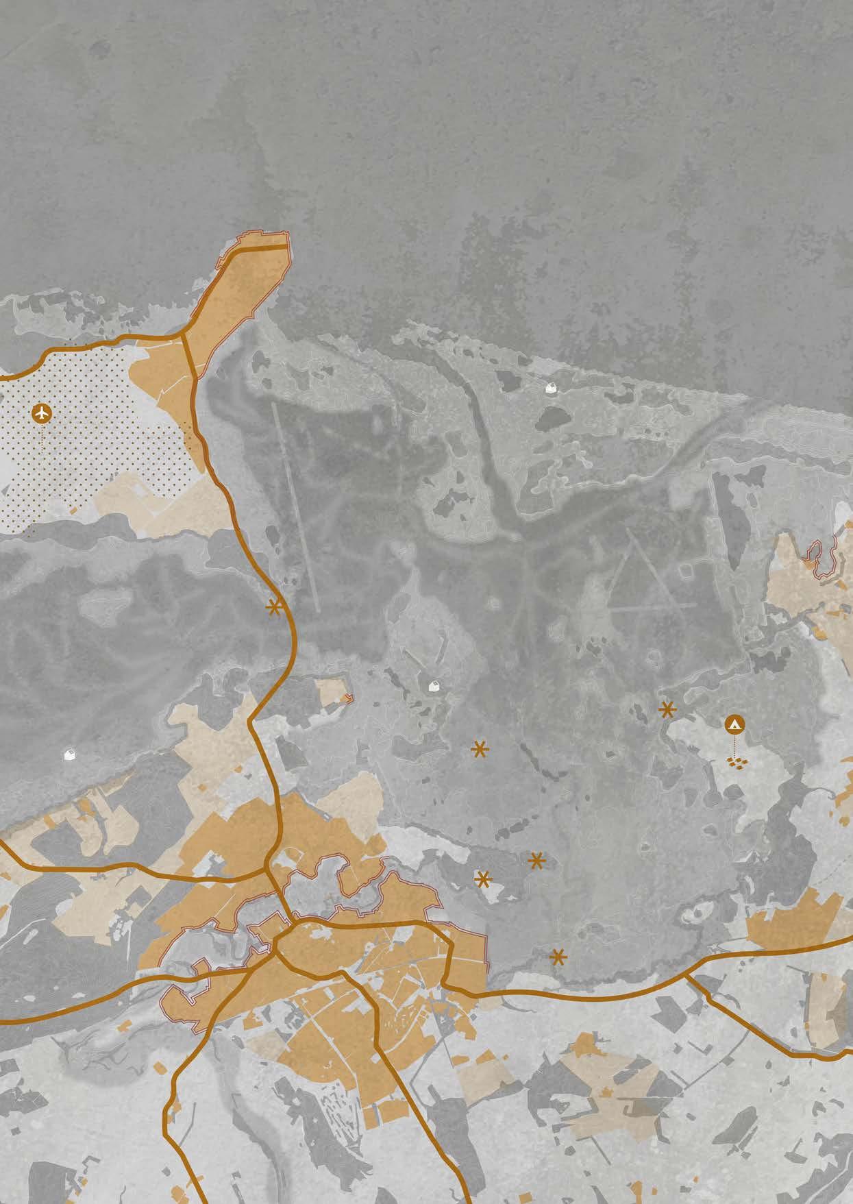
LEGEND


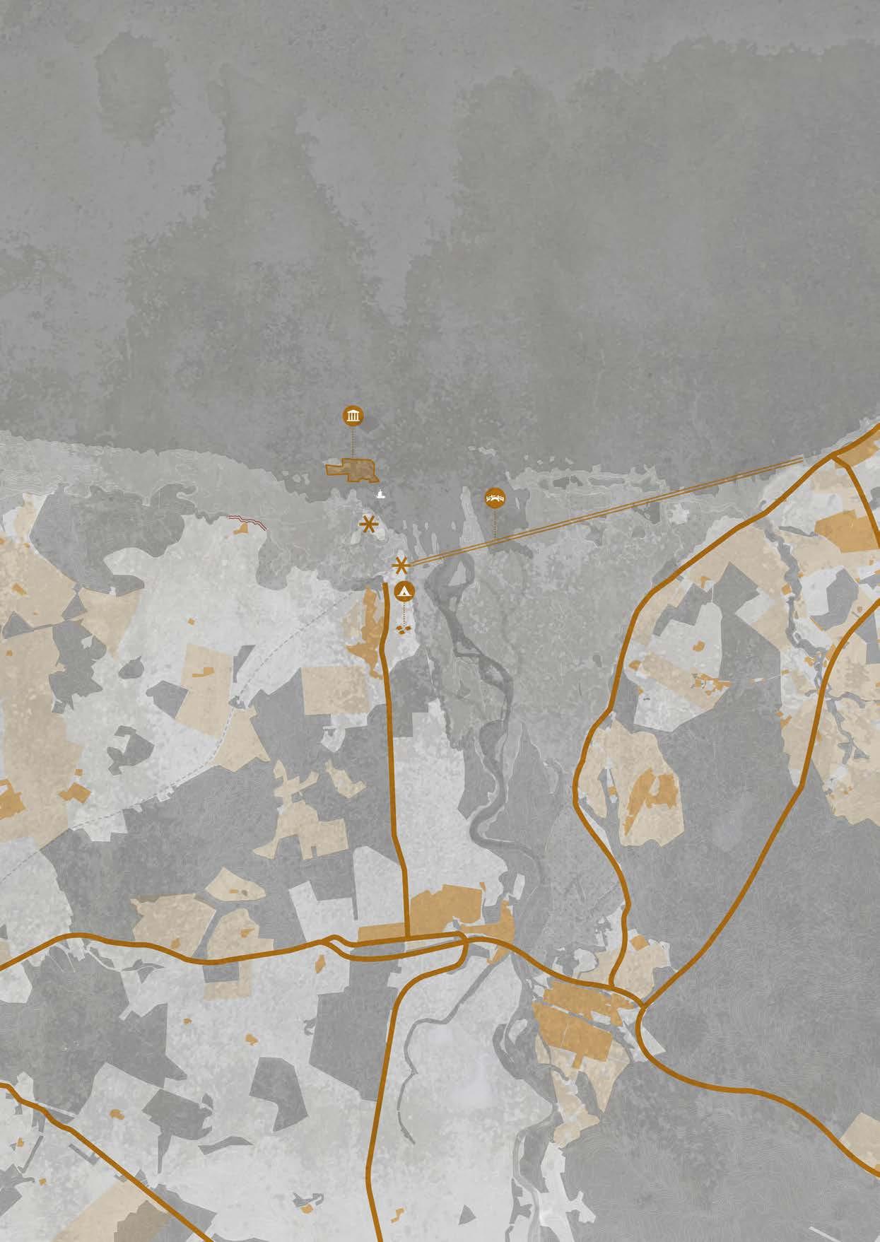
Kingston
Historic Bridge
Campground
Recreational Hotspots
Main Roads
Villages
Military Airfield
Agriculture
Laminariales-Kelp


Astacidea-Crayfish


Phocidae-Seal
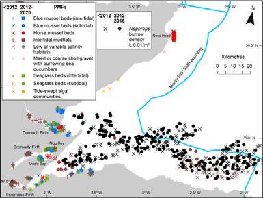
Along the northeast coast of Scotland, large kelp forests are found, especially in the clear, cold, and nutrient-rich waters of the Moray Firth. These underwater forests grow because kelp attaches itself to rocky seabeds just below the water surface. This mainly happens in shallow coastal areas where enough sunlight can reach the plants. Strong currents and tidal movements in and around the Moray Firth continuously bring new nutrients, allowing kelp to grow quickly. Under good conditions, kelp can grow several centimetres per day.
Kelp forests form a rich and productive habitat for many marine species, including starfish, lobsters, young fish, and seals. They are also important areas for fish to reproduce and grow. Because of their physical structure, kelp forests reduce wave energy and help protect the coastline. This is especially important in areas that are vulnerable to coastal erosion.
Ecologically, kelp forests play an important role as so-called “blue forests.” They store large amounts of carbon dioxide and therefore help reduce the effects of climate change. The kelp forests along the Scottish coast are not only a distinctive part of the landscape, but are also essential for the health and functioning of coastal ecosystems.
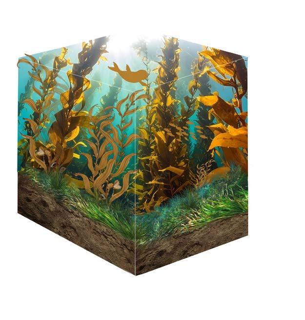
Arenicolamarina-Seaworm

Mudflats are low-lying, flat coastal areas that are regularly flooded during high tide. They form through the build-up of fine sediment, mainly clay and silt, in calm and sheltered environments such as estuaries and bays. As this process of sediment deposition continues over time, a soft and muddy surface develops, which is typical for mudflat landscapes.

Vegetation on mudflats is very limited. The ground is unstable and is strongly influenced by tidal movements, with regular flooding and drying. Larger plants can hardly establish themselves under these conditions. However, algae mats and various microorganisms are present and play an important role in binding and stabilising the sediment.
Cerastodermaedule-Cockles

Ecologically, mudflats are highly productive areas. Large numbers of bottom-dwelling animals live in the mud, including worms, snails, shellfish, and small crustaceans. These animals form an important food source for coastal and migratory birds, such as curlews, oystercatchers, and sandpipers. In addition, mudflats serve as important feeding and nursery areas for fish species, including flatfish and young salmon.
Pleuronectoidei-Flatfish

Numeniusarquata-Curlew
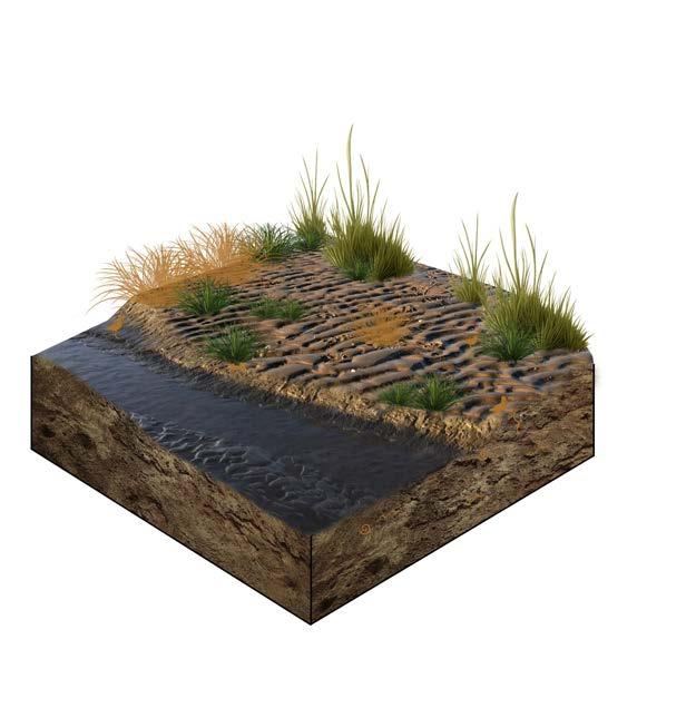
Salicornia-SeaEel

Salt marshes are higher parts of the tidal landscape that are covered with vegetation and only flood during very high tides. They develop when mudflats become stable enough for salt-tolerant plants to grow. The root systems of this vegetation help trap more sediment, allowing the salt marsh to slowly build up in height and expand over time.
The vegetation of salt marshes consists of characteristic salt-loving plant species. In the lower zones, plants such as couch grass, sea rush, sea lavender, and glasswort are common. As the ground becomes higher and floods less often, these plants gradually change into more diverse grasslands with species such as red fescue and saltmarsh grass. These plants are adapted to salty conditions, changing water levels, and long periods of wet soil.
Triglochinmaritima-Saltmarshgrass

Haematopusostralegus-Oystercatcher
Salt marshes are ecologically valuable habitats for many animal species, including insects, small mammals, and especially birds. Migratory birds such as dunlins, oystercatchers, and avocets use salt marshes as resting and feeding areas, while ducks and geese often stay there during winter. In addition, the creeks within salt marshes are important feeding and nursery areas for young fish.
Calidrisalpina-Dunlin
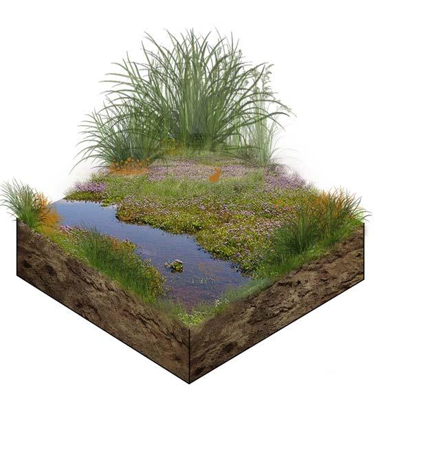

Phragmitesaustralis-Reed
Reed beds develop in transition zones between open water and higher ground. In wet reed beds, water remains at or just below ground level for long periods, allowing reeds (Phragmites australis) to form dense and tall vegetation. These wet reed zones provide important breeding and shelter areas for bird species such as the Eurasian bittern, reed warbler, and water rail. They also offer habitat for fish, amphibians, and many insect species.

Odonata-Dragonfly
Dry reed beds are found on higher parts of the landscape and are flooded less often. In these areas, reeds grow together with other types of vegetation, including willow, different sedge species, and plants typical of marsh and grassland environments. Dry reed beds support a high diversity of insects and small mammals and form an ecological transition zone between wet environments and higher grassland or woodland landscapes.
Acrocephalusscirpaceus-Karakite
In both wet and dry reed beds, reeds play an important role within the ecosystem. They help trap sediment, improve water quality, and create a spatial structure in which many animal species can live. Reed beds are therefore dynamic and ecologically valuable elements within coastal and river landscapes.
Rallusaquaticus-WaterRail
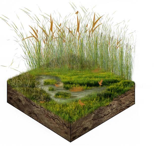

Grasslands develop on higher parts of the landscape that are only flooded occasionally. This creates relatively dry and stable soil conditions where grasses and flowering plants can dominate. Typical species in these grasslands include red fescue, clover, and buttercup.
Grasslands are rich in species and form an important habitat for many types of wildlife. They provide food and shelter for insects such as bees and butterflies, as well as for small mammals and meadow birds. Through management practices like grazing, grasslands remain open and function as an ecological transition zone between wet habitats, such as salt marshes and reed beds, and higher forested areas.
Lepidoptera-Butterfly
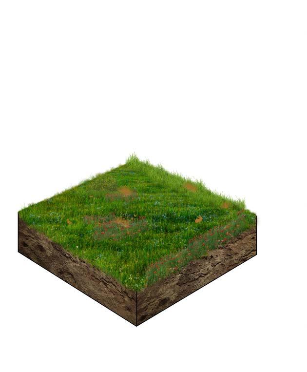
+8.00tothoger
Coniferous forests mainly consist of tree species such as pines and spruces. Through their deep taproots and wide-spreading root systems, these trees are able to anchor the soil effectively, which helps increase stability and reduce erosion.
Below ground, the roots of coniferous trees form a functional partnership with fungi, known as mycorrhiza. Within this network, nutrients and water are exchanged, improving the trees’ ability to absorb resources and supporting their growth. Above ground, the yearly fall of needles creates a thick litter layer that breaks down slowly and makes the soil more acidic. This results in a characteristic forest floor where mosses, ferns, blueberries, lichens, and only a limited number of herbaceous plants can grow.
Coniferous forests provide habitat for many animal species, including birds such as robins, crossbills, and woodpeckers, as well as mammals like squirrels and roe deer. They also support many insect species that depend on wood, bark, and leaf litter. The underground network of roots and fungi therefore plays a key role in shaping both the soil structure and the plant and animal life of coniferous forests.
Dendrocoposmajor-Greatspottedwoodpecker
Cervidae-Deer
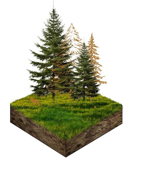
+13.80-hoger
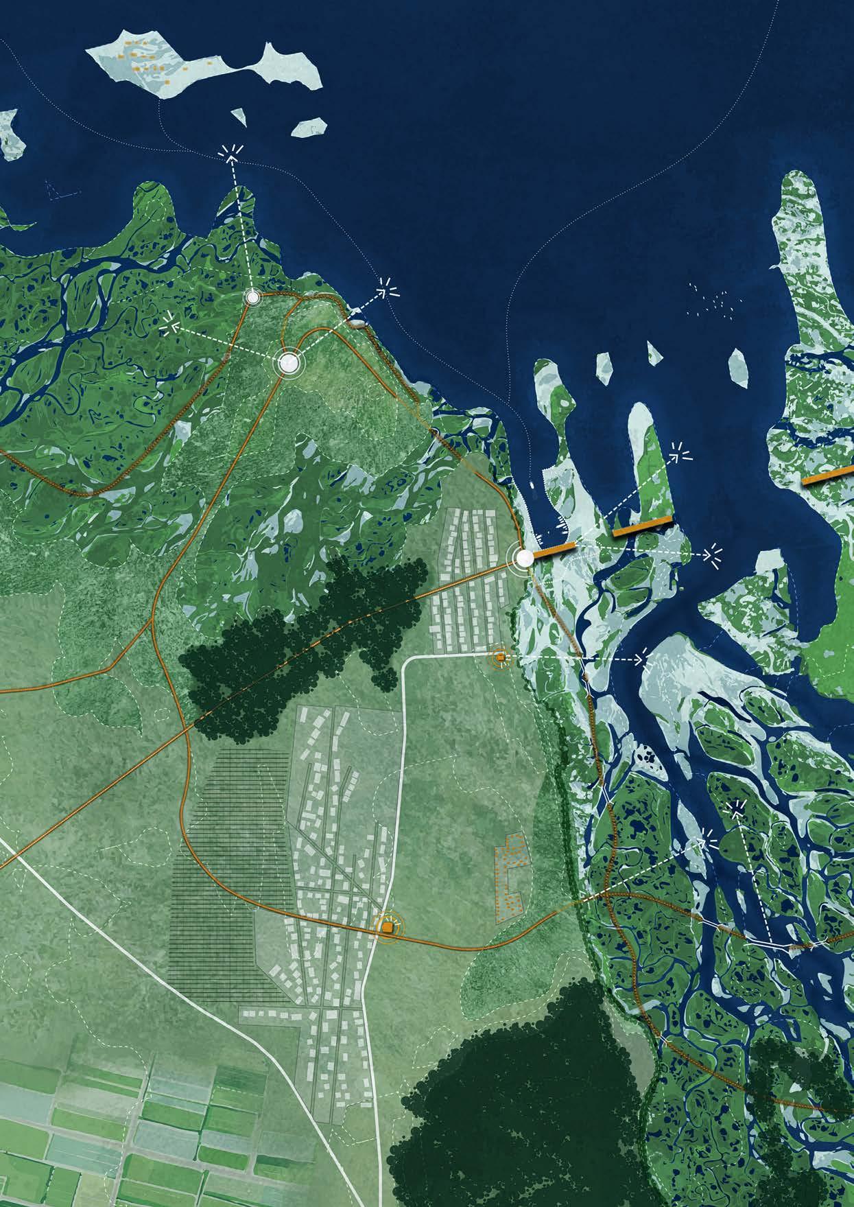
Old Kingston lies in the sea as an eroded village. At low tide, the area can be visited by boat, allowing the past to become literally visible in the landscape. New Kingston is located on the edge of a cliff, on a site with a harder geological base. This strong underground layer means that erosion will only become visible here in hundreds of years, placing the village in a safe and future-proof location.
The historic path runs through New Kingston and ends at a new hotspot: the eroded railway viaduct, which has been transformed into a walking route. The bridge is no longer fully accessible, but the first section is protected. This allows visitors to safely stand on the bridge and observe how the landscape is changing due to erosion. From this point, the newly formed delta—created by the eroded mouth of the River Spey—is also visible. Several walking routes start from this hotspot and lead down towards the delta. Not all paths are accessible at high tide, which enhances the experience of tidal change and the dynamic nature of the landscape.
At the foot of the bridge, a harbour is located. From here, fishing boats head out to sea, while tourist boats travel to Old Kingston. This strengthens the connection between past, landscape, and water.
South of Kingston lies Garmouth. The village was originally located along the River Spey and is now once again connected to the river, this time on top of the cliff. In this way, Garmouth maintains a strong relationship with both the water and the surrounding land. On the western side of the village, a phased area for temporary housing is planned for residents who need to relocate due to erosion.
Along the cliffs, different types of vegetated retaining walls are used, including concrete walls with planting grids and drainage walls. These interventions help stabilise the landscape while maintaining a natural appearance. The recreational layer is designed in relation to the villages and the various hotspots in the area. Walking paths run through the delta, along the coast in the mudflat and salt marsh areas, across higher grasslands, and along the edges of the cliffs.
Through the combination of natural processes and human interventions, a balanced landscape has emerged. Erosion and tidal movements are not stopped, but instead made visible, tangible, and part of the experience.
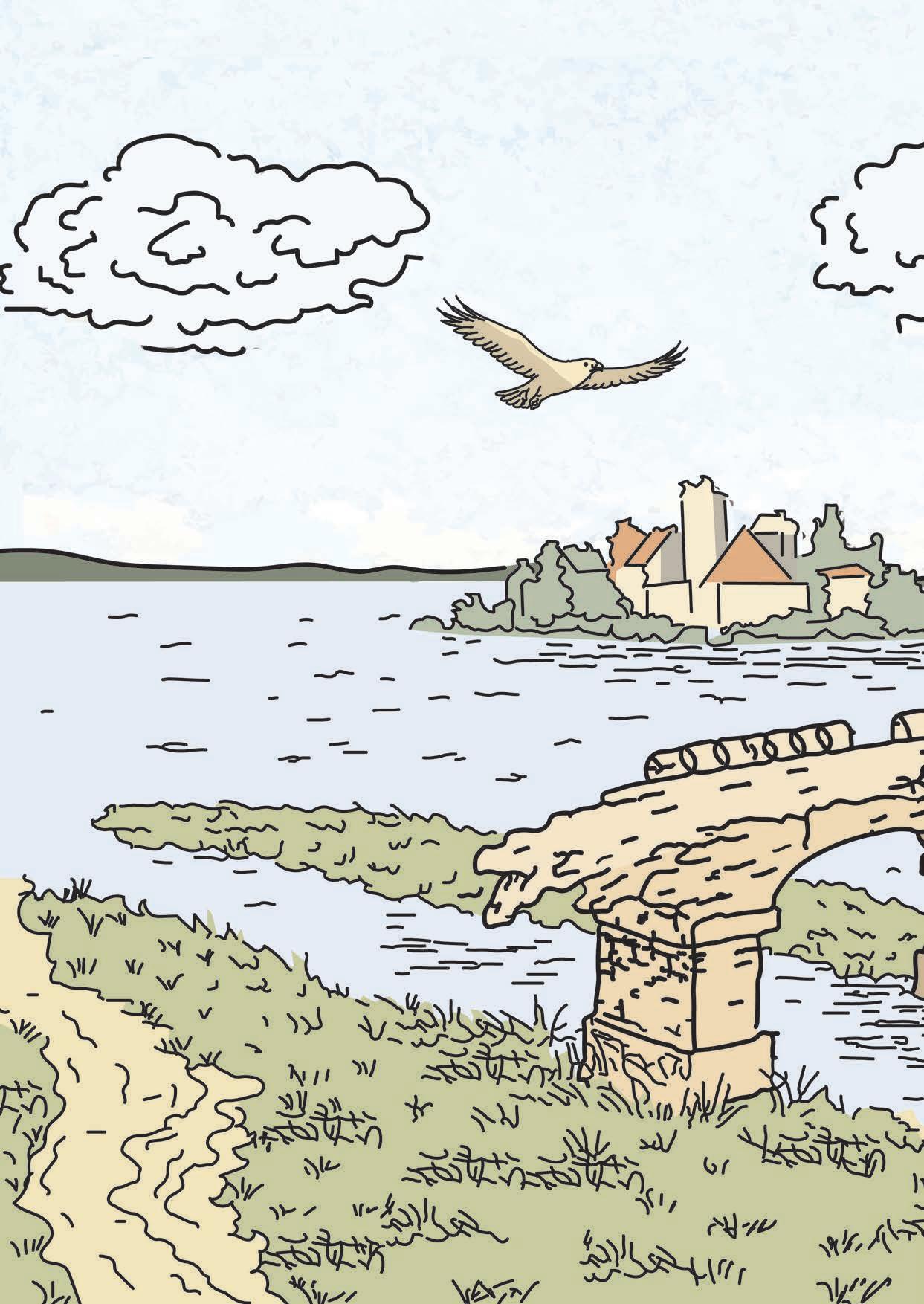
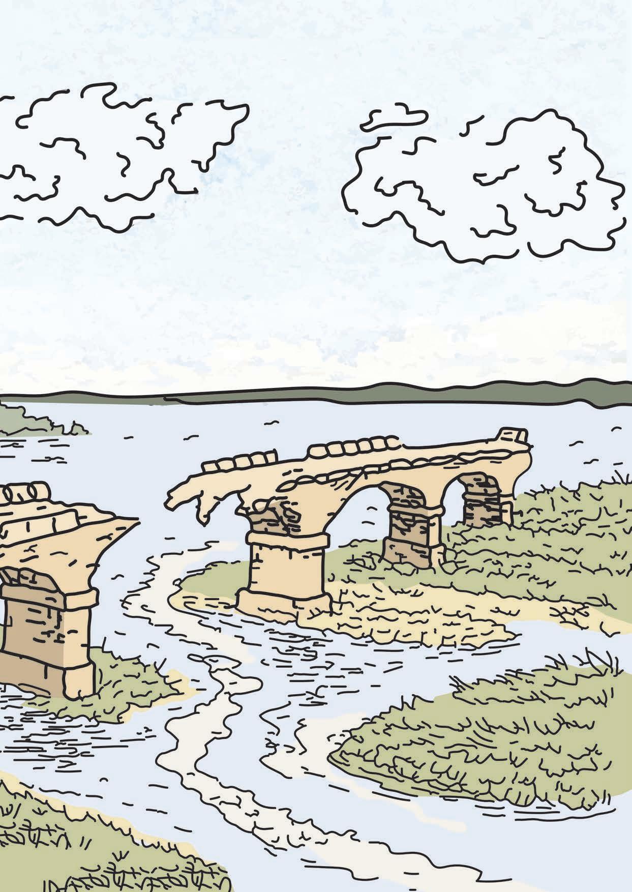
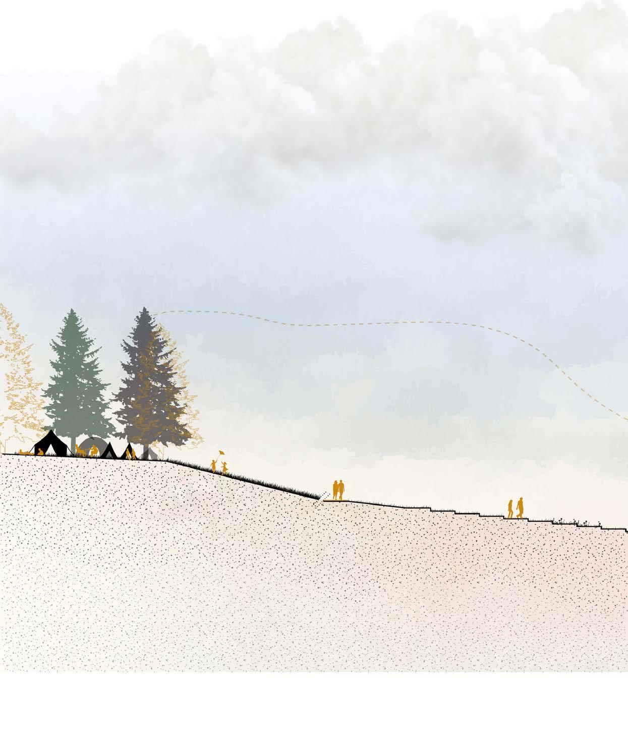
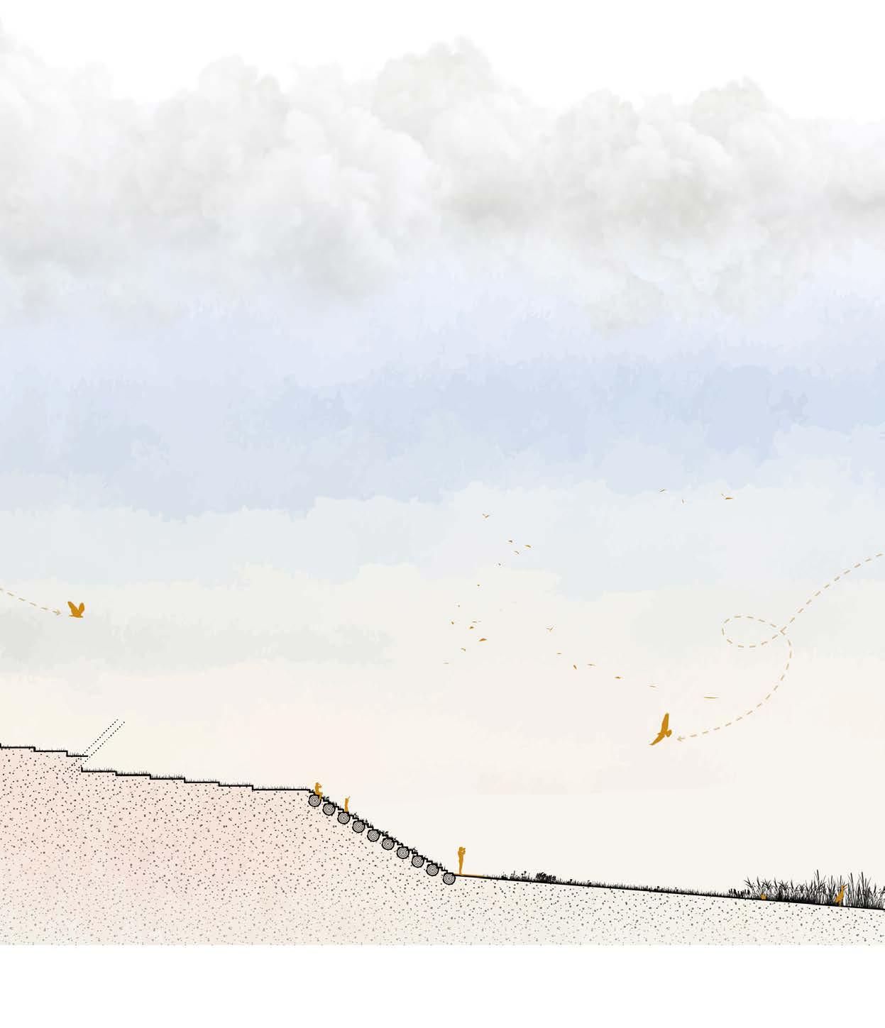
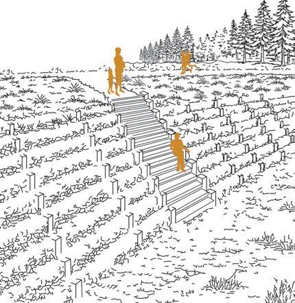
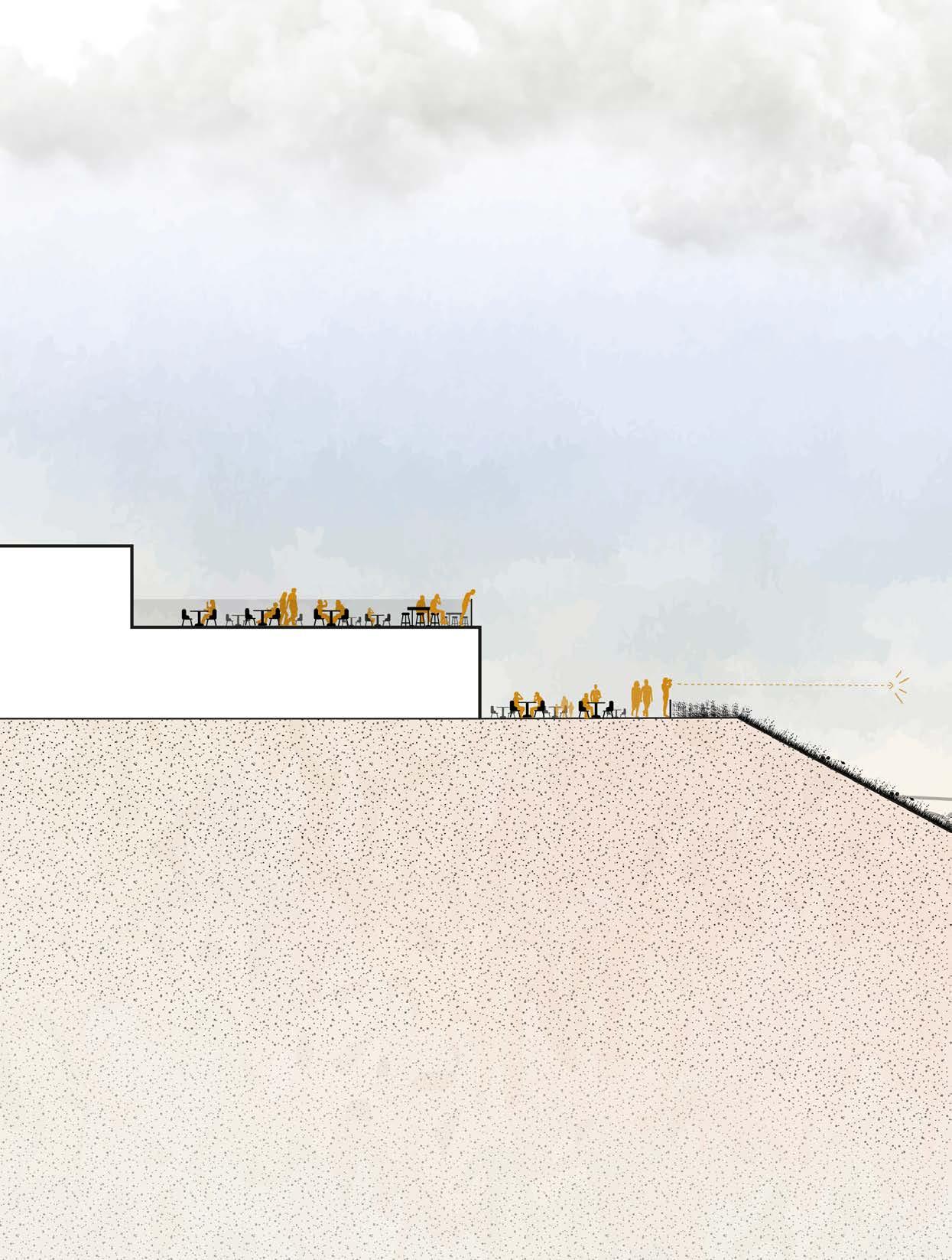
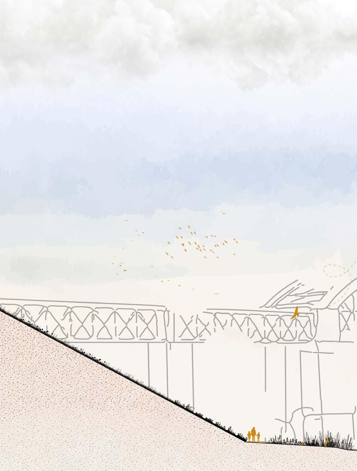

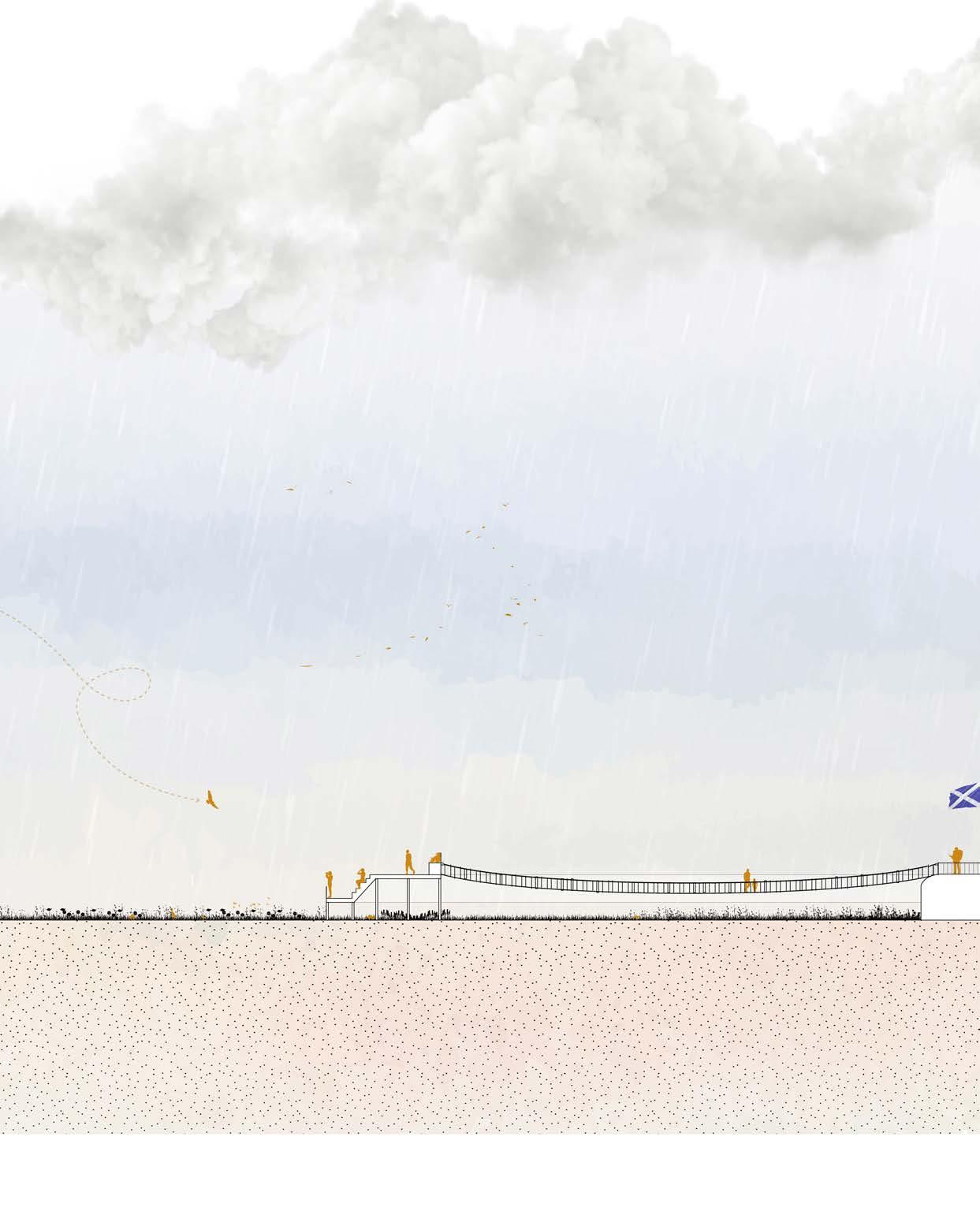
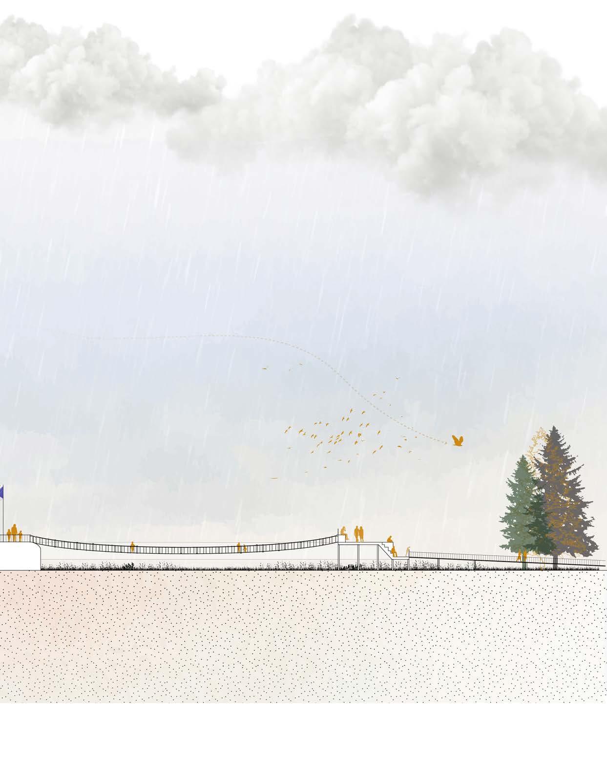
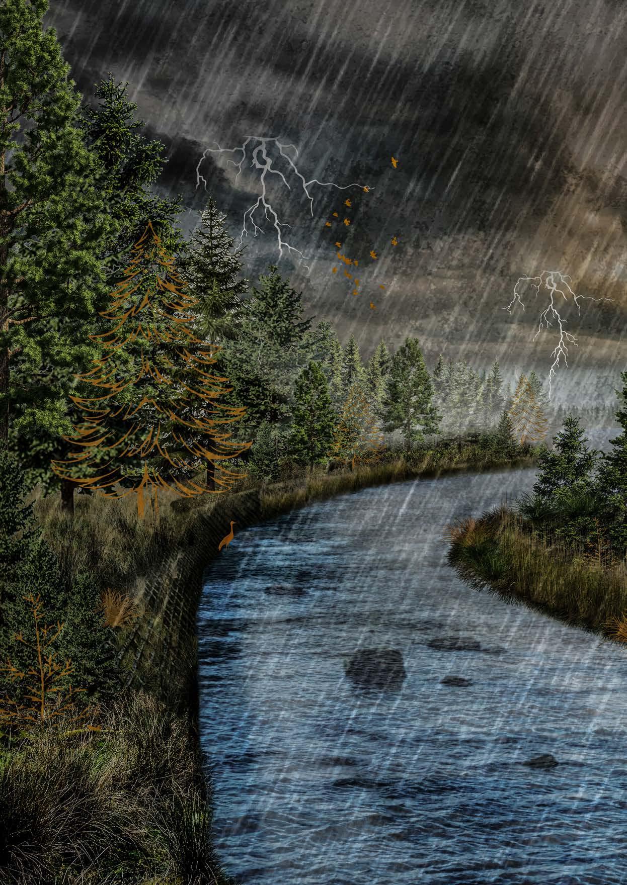
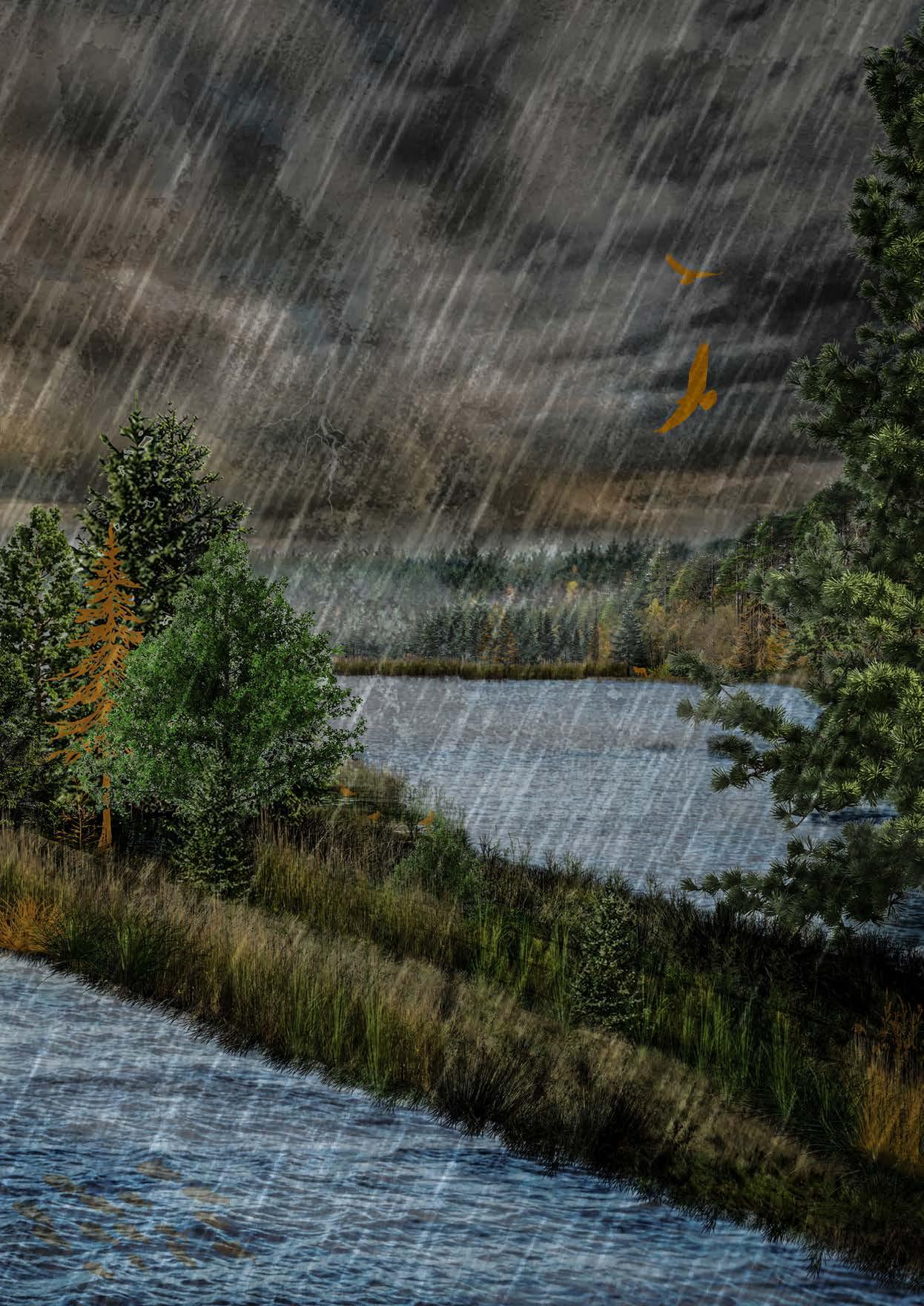
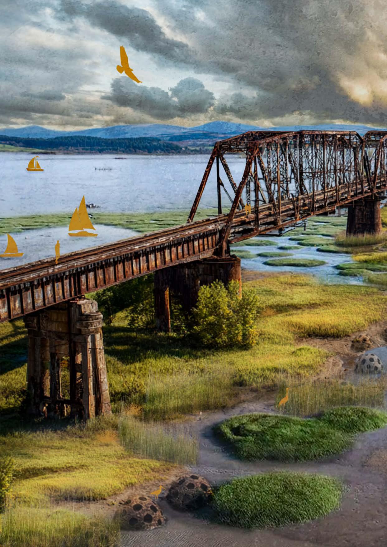
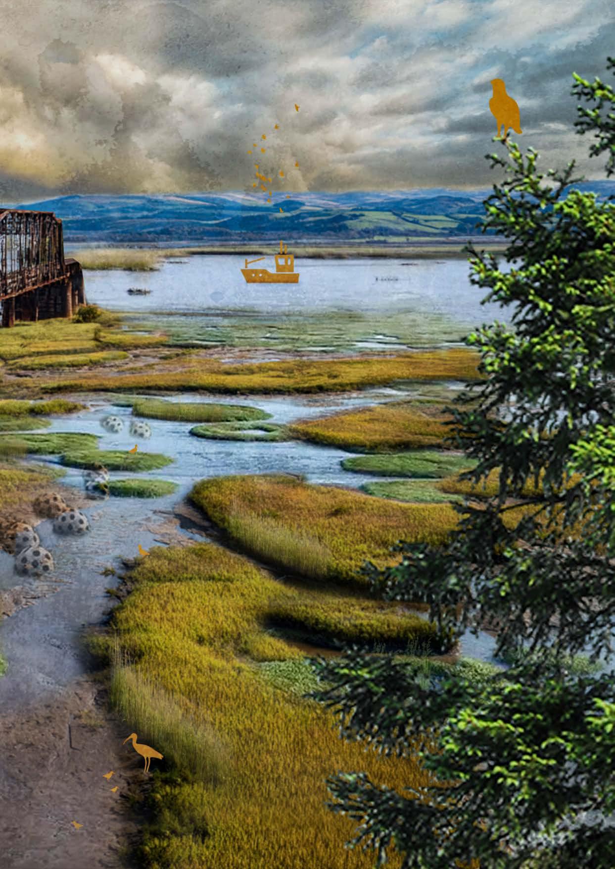
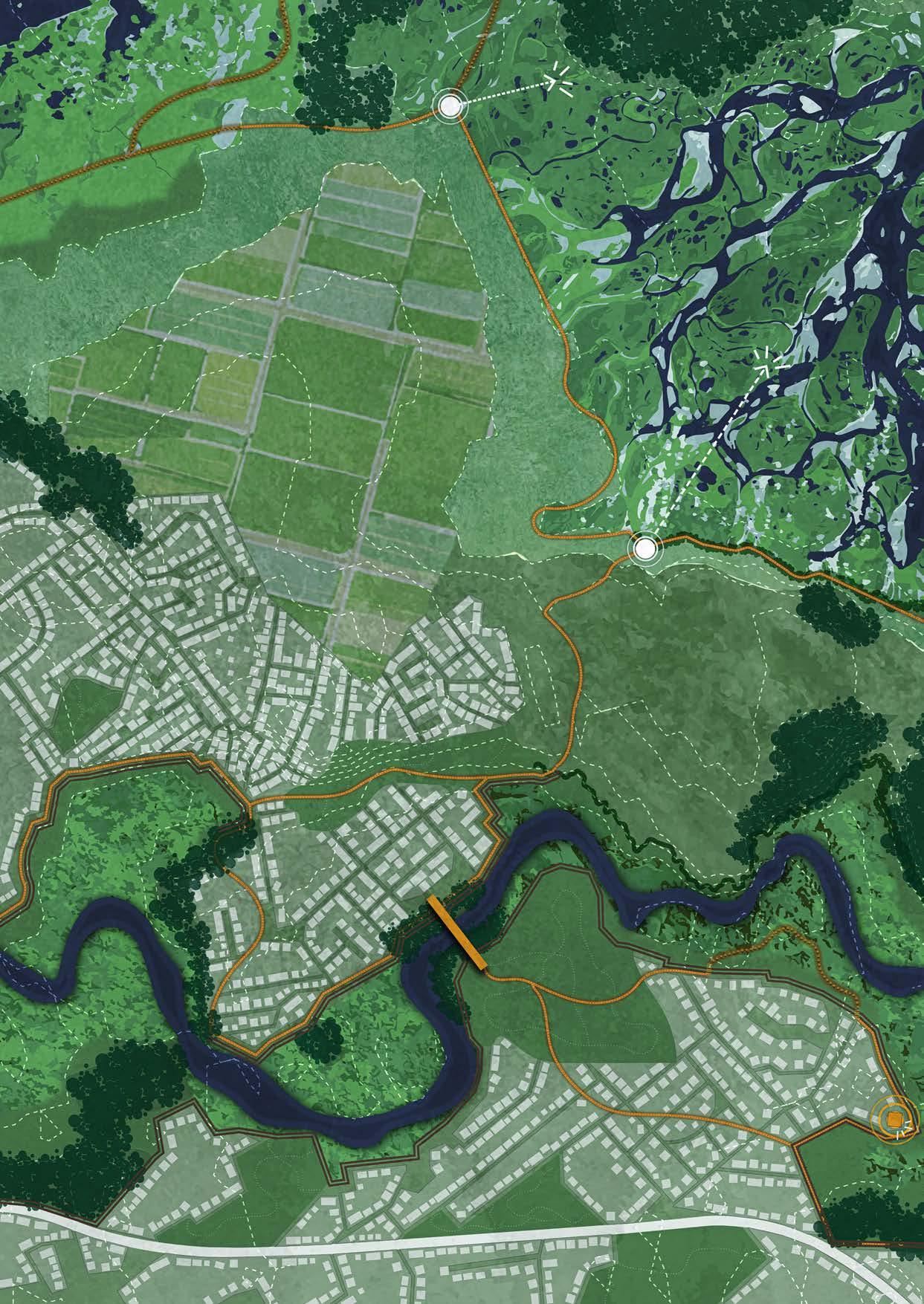
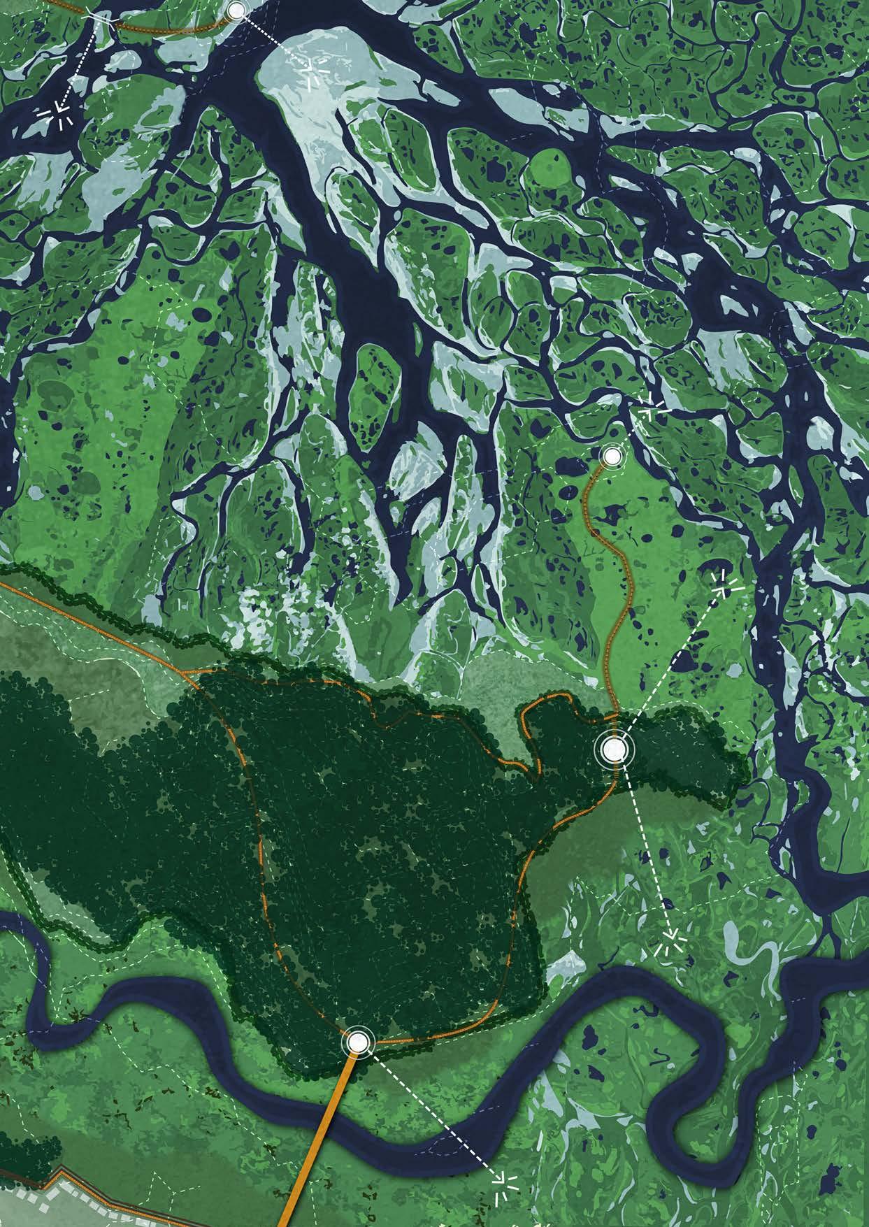
Elgin is a town that has given space back to the River Lossie. Neighbourhoods that were located too close to the river have been relocated to other parts of Elgin and to the edges of the town. As a result, the River Lossie now has much more room to move. The river can partly meander through the town and has enough space to safely overflow its banks during heavy rainfall and in the future.
Along the town, targeted hard measures have been applied, such as dikes, reinforced vegetated walls, and drainage walls. These measures protect Elgin from extreme flooding. In the most extreme scenario, the water reaches the dike but never flows into the town. In this way, a new balance has been created between the town and the river, where the Lossie not only provides safety but also strengthens the identity of Elgin.
New agricultural areas have been developed around the town. These areas were previously located where the delta and estuaries have now formed, allowing agriculture and the river system to each have their own space.
A network of recreational routes runs through and around the town, connecting directly to Elgin. This turns the town into a place where walkers and tourists pass through and choose to stay longer. From the town, routes lead further into the landscape: along the dike with views over the river system, across bridges that connect the northern and southern parts of the town, and past several viewpoints, some of which are linked to cafés or restaurants. In a few places, visitors can enter the river landscape of the Lossie via the dike or drainage wall, or walk through the mudflats and salt marshes of the delta.
Because the walking paths are connected to all layers of the landscape and carefully integrated into both soft and hard measures—such as stairways over and through the drainage walls—the landscape becomes visible, tangible, and accessible. In this way, a safe balance between people and nature is created.
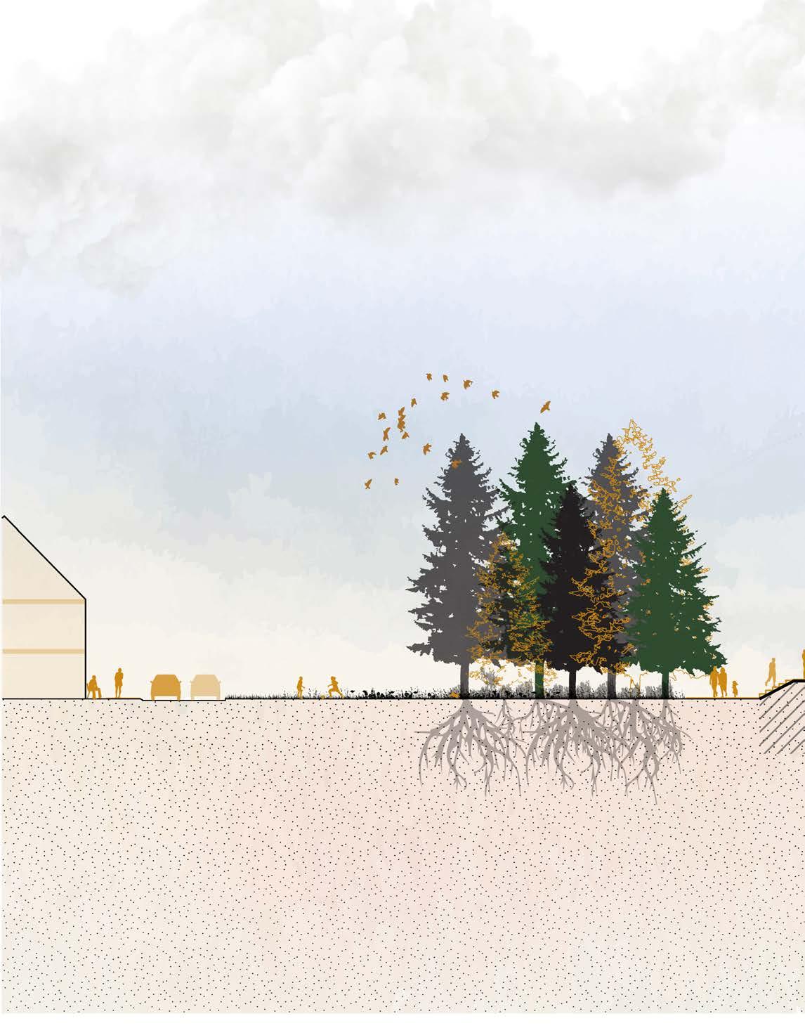
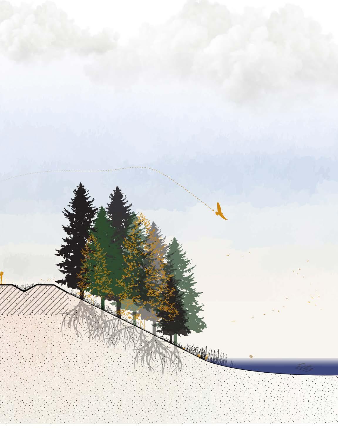
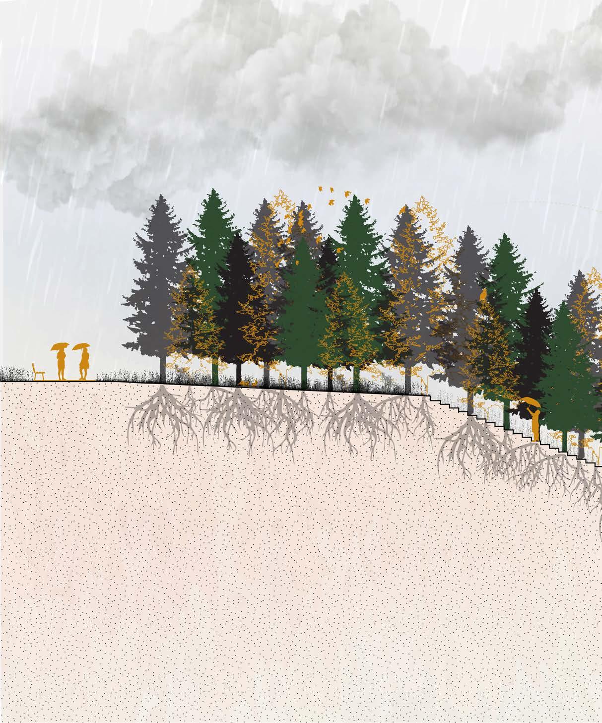
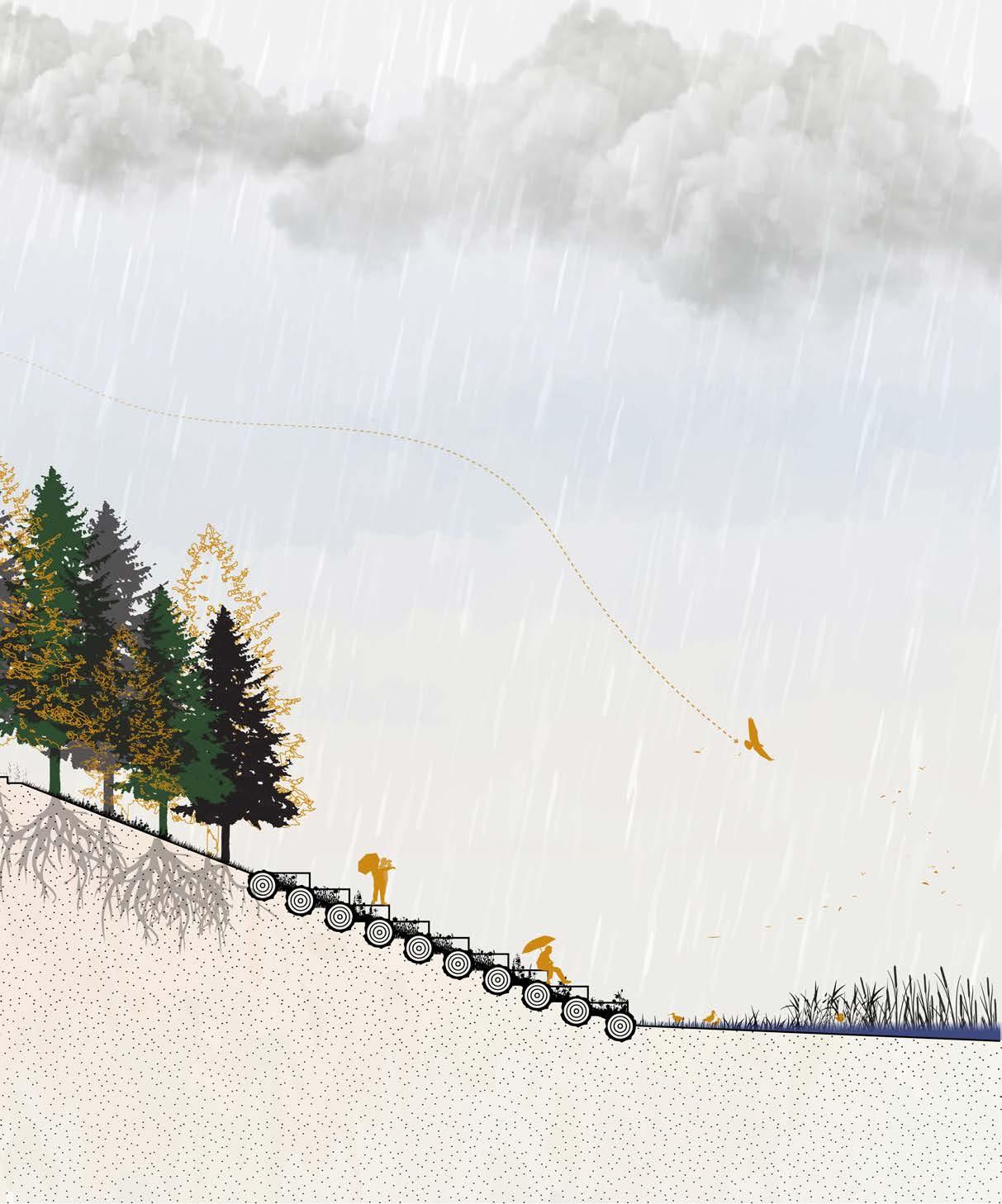
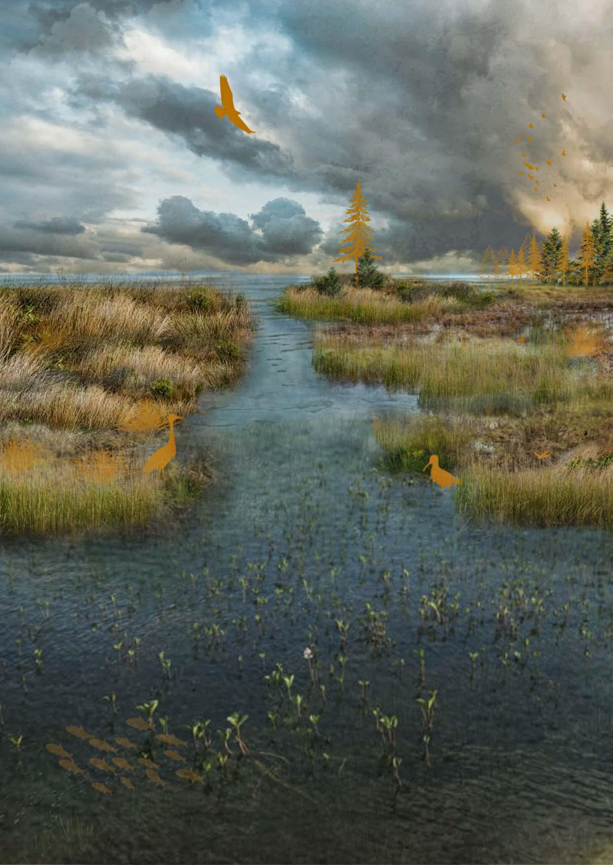
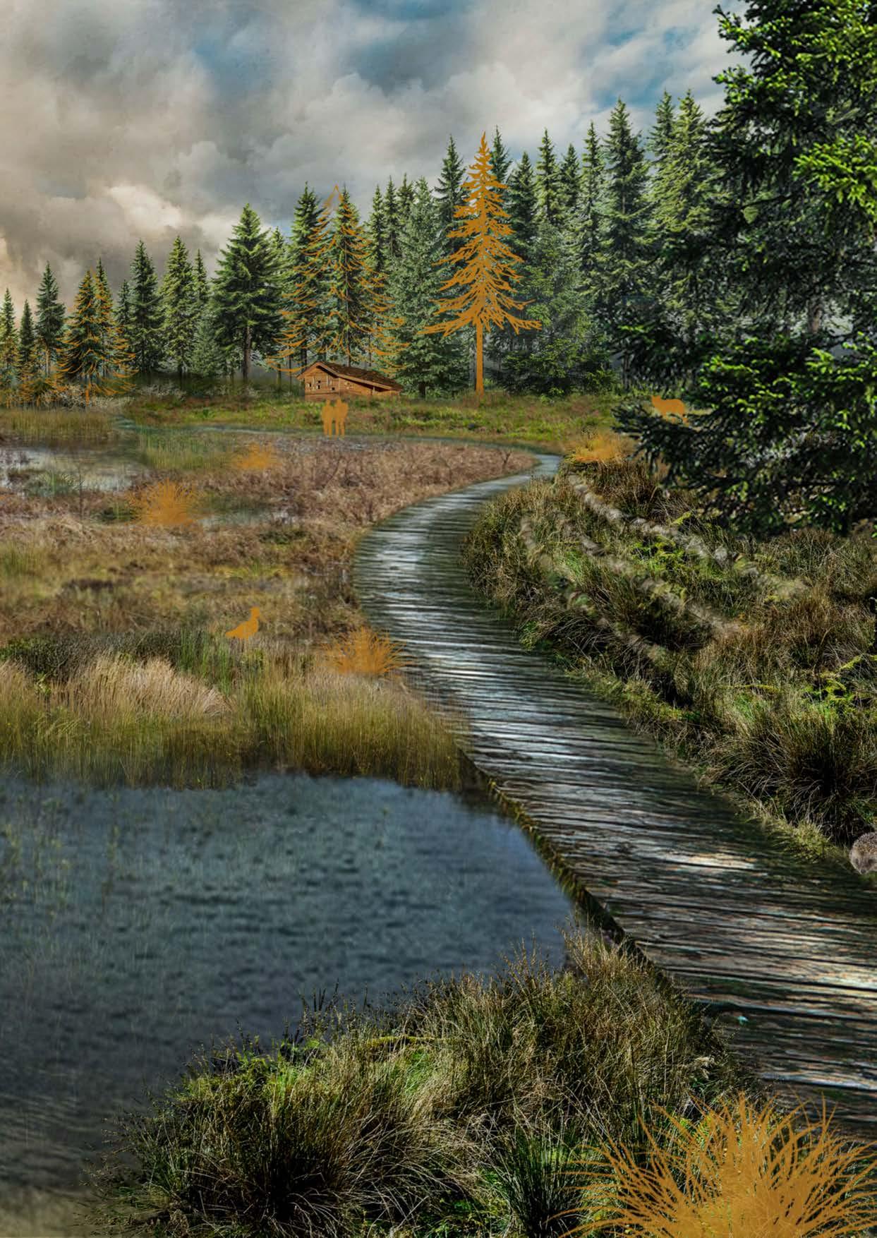
Woodenwalkway|1:50en1:20 Krainerwand|1:50
Betonbiels, 120x200x1000mm
Keilbout met oog, M10x110mm, midden van biels bevestigen
Staalkabel, RVS, 10mm, met bevestigingsbeugels, onderling 1m uit elkaar
Stam minimaal 2000mm lang en ∅100mm
Stam minimaal ∅100mm, hoek tussen 0° en 70°
Houten piket, 28x40x400mm, elke 500mm
Throughout the entire area, a varied network of walking paths is created, carefully adapted to the landscape and the different ground types. The paths include routes through grasslands, semipaved paths, forest trails, and boardwalks that pass through the mudflat and salt marsh areas. The boardwalks are built slightly above ground level and rest on a structure of steel posts and beams, which is necessary due to the dynamic nature of the tidal landscape. The walking surface and railings are made of wood, giving the paths a natural appearance that blends into the landscape. Exposure to weather will cause the wood to age naturally, which fits the overall character of the area.
Along some of the walking routes, stairs are added to bridge height differences. These stairs are designed in a simple and natural way, using wooden stakes and tree trunks from the surrounding area. By varying their length and diameter, the steps adapt to the terrain and respond to the shape of the landscape.
In areas where slopes are unstable, additional reinforcement is needed to prevent erosion and landslides. Because heavy technical solutions are not suitable everywhere, nature-based and flexible measures are used. A drainage wall (krainer wall) plays an important role in this approach. Its design varies depending on the level of instability. In less vulnerable areas, a lighter structure with space for planting is applied, while in highly unstable locations, a stronger version with extra anchoring is used. This creates a tailored solution that combines safety with landscape quality.
On steeper slopes, additional stabilisation techniques are applied. A live crib wall, built from wooden logs and filled with soil and plants, provides immediate support and gradually develops into a stable, green structure. Where slopes are very steep or already show signs of damage, a slope grid can be used. This wooden grid increases soil stability while allowing vegetation to grow. As a surface protection measure, a living brush mattress can be applied, covering the slope with living branches that root quickly and protect the soil from erosion.
In hard-to-reach areas or where other measures are difficult to apply, live ground anchors can be used. These are combined with soil- and seed-filled bags, supporting both immediate stabilisation and longterm vegetation growth. In areas highly sensitive to erosion, such as at the base of slopes or along waterways, rock rolls provide extra protection. These flexible stone-filled structures resist erosion forces while still allowing natural vegetation to develop.
Naturalea, Final Report Catterline Interventions (2022)
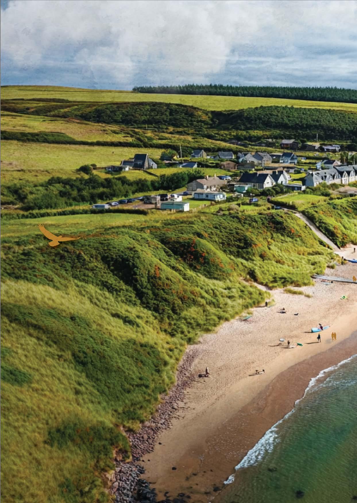
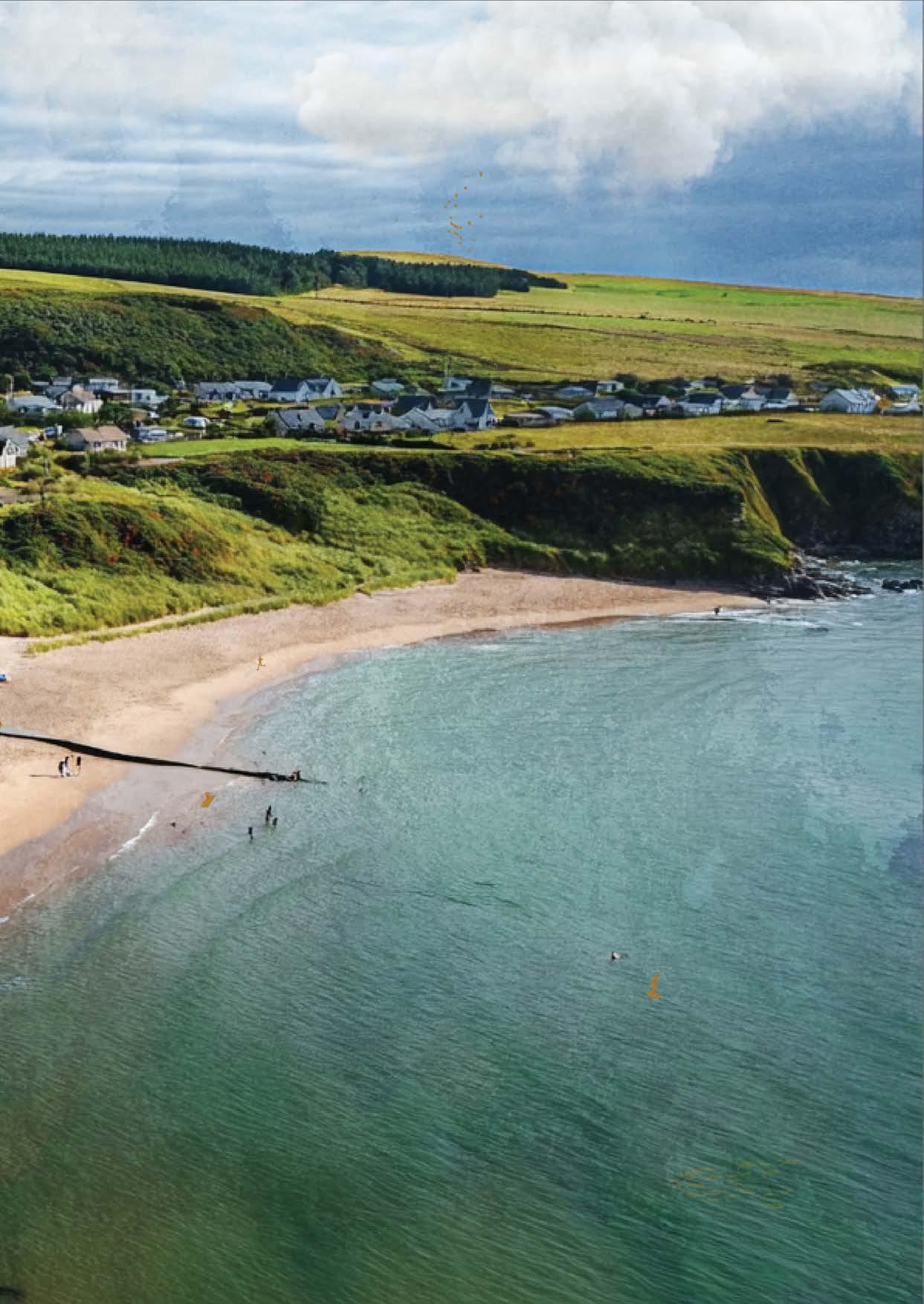
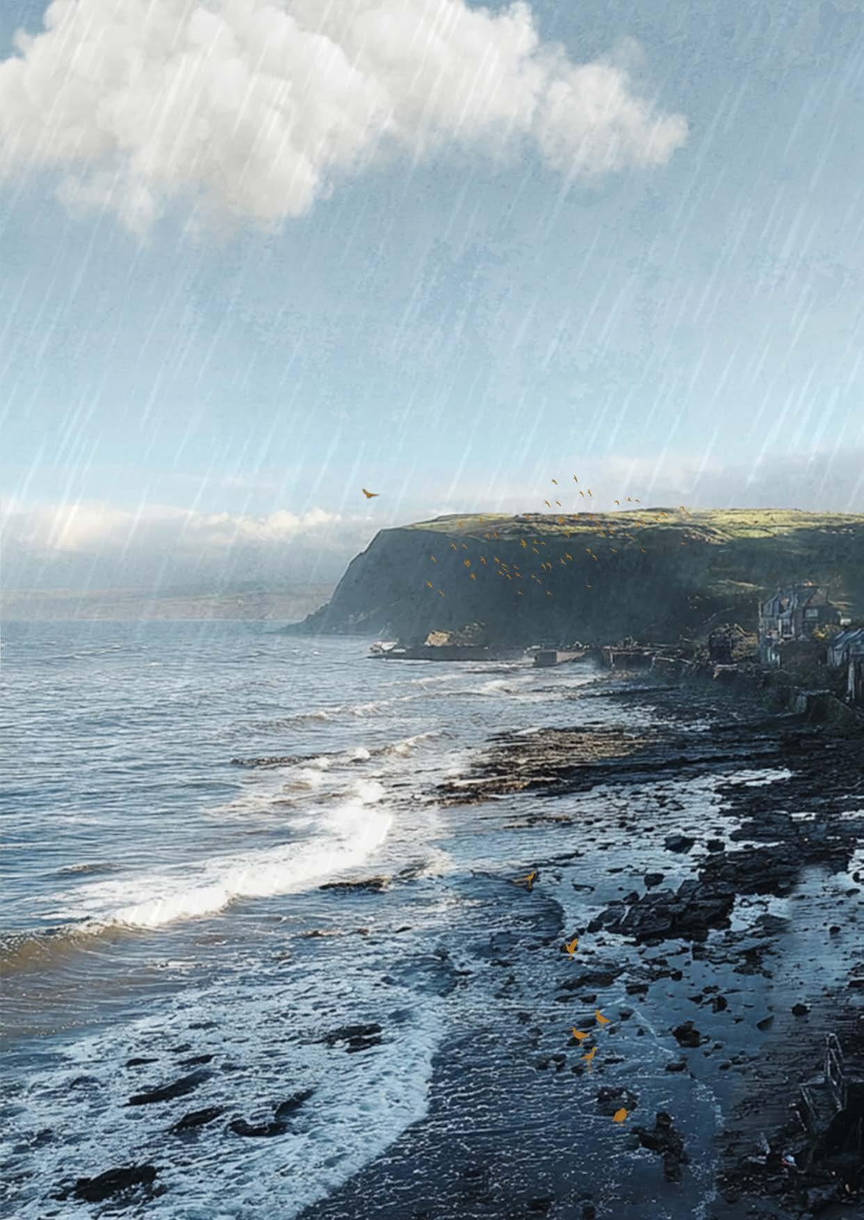
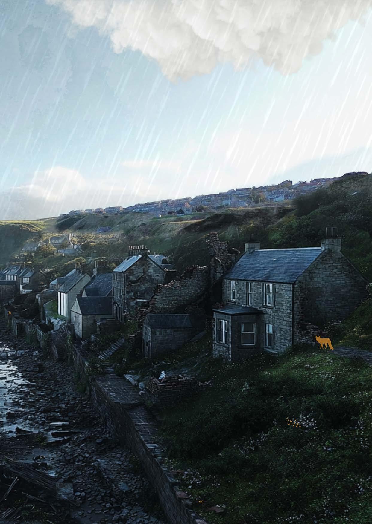
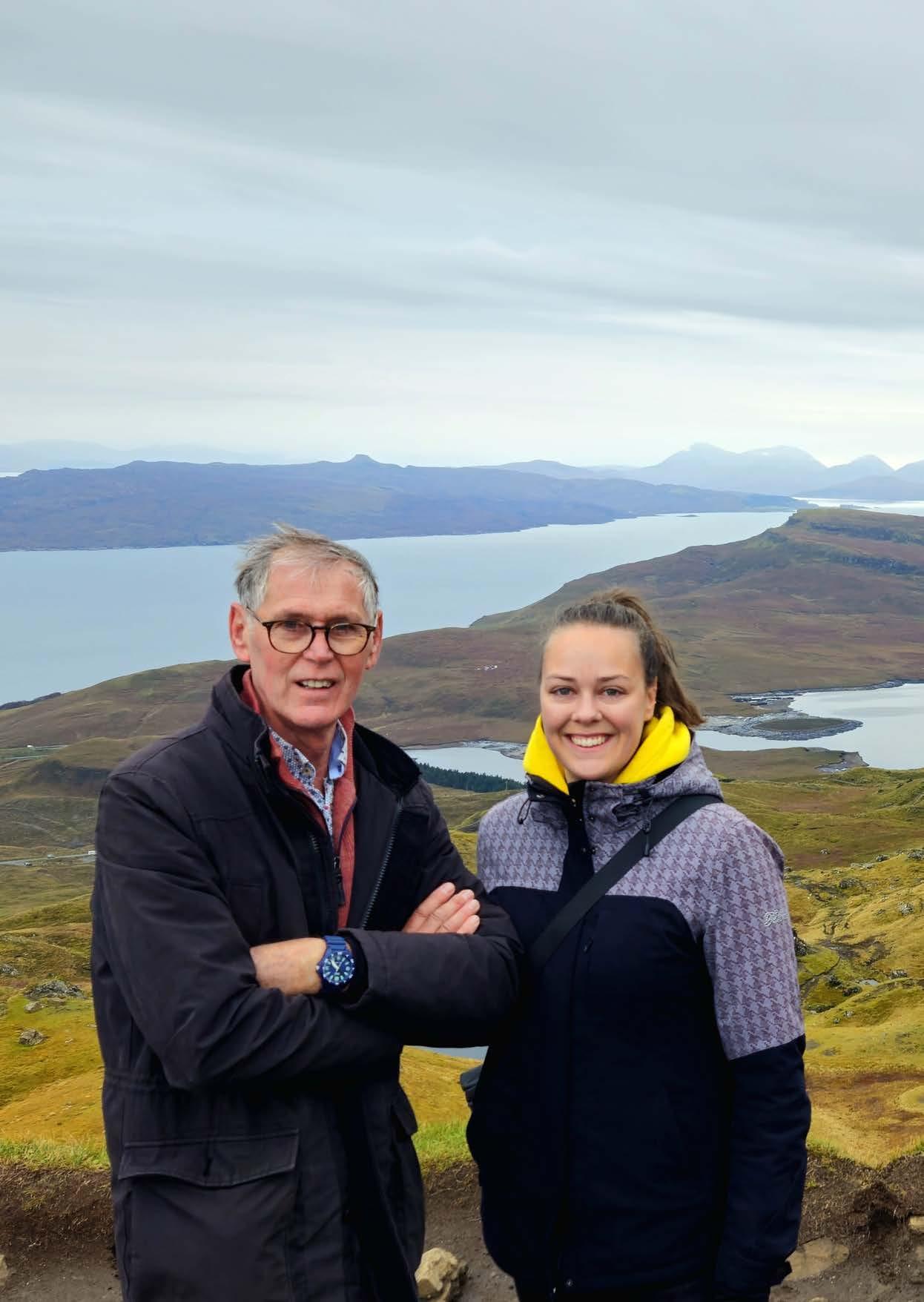
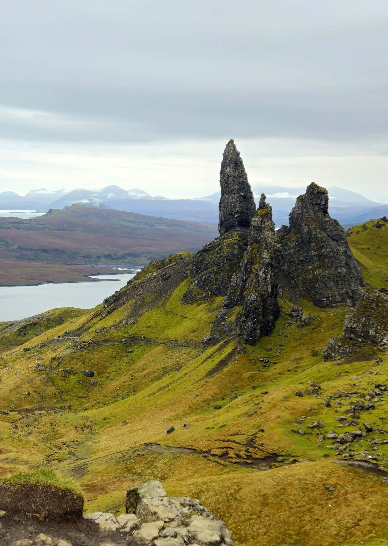
Special thanks to my graduation committee: Yttje Feddes, Sjaak Punt, and Jelmer Cleveringa. Thank you for your enthusiasm, the knowledge we were able to share, the open and pleasant conversations, and above all for your valuable feedback. For me, truly a dream committee.
Experts
Marc van Grieken
Wouter Thijs
Austin Joop van Beek
I would also like to thank all (former) colleagues who supported and advised me during my years at the academy. Special thanks to Jasper Mallekoote and Liza van Alphen for their help and the many good conversations during my graduation period.
Anne, thank you for all your advice and for the many cups of tea, sometimes with a chocolate biscuit.
A special thank you to Inge Noten, Liselot Buurman, and Melanie van Veen. Over the past years, we supported and motivated each other, always with a good dose of humour. You truly helped me get through this.
Mom, thank you for your help, your cards, and for showing your pride.
Frank (yes, my brother-in-law), thank you for thinking along, brainstorming, and for all your help and support.
And finally, a very big thank you to Evangeline (my dear sister, Linnie), Dad (my best buddy), and Cappuccino. Without your encouraging words, help, and warm hugs, I would not have made it this far.
Encyclopaedia Britannica. (z.d.). Coastal erosion https://www.britannica.com
Britannica, T. in M. (Eds.). (2024). Storm. In Encyclopaedia Britannica. https://www.britannica. com/science/storm
Environment Agency. (2019). Estuarine and coastal flood risk: Storm surge statistics and modelling approaches. UK Government.
Environment & Climate Change Scotland. (2024, 9 oktober). The risks to Scotland’s soils: A scoping report. Geraadpleegd op 8 november 2025, van https://environmentalstandards.scot/our-work/ our-analytical-work/the-risks-to-scotlands-soils-ascoping-report
Intergovernmental Panel on Climate Change. (2021). Climate change 2021: The physical science basis. Contribution of Working Group I to the Sixth Assessment Report of the Intergovernmental Panel on Climate Change. Cambridge University Press. https://doi.org/10.1017/9781009157896
Live Breathe Scotland. (z.d.). Sandend. https://www. livebreathescotland.com/sandend/
Marine Scotland. (z.d.). Marine Scotland. https:// marine.gov.scot/
Met Office Hadley Centre. (2018). UKCP18 land projections: Science report. UK Government. https://www.metoffice.gov.uk/research/approach/ collaboration/ukcp
National Weather Service. (z.d.). Thunderstorm hazards. Geraadpleegd op [datum], van https:// www.weather.gov/key/tstmhazards
NatureScot. (z.d.). Coastal cliffs. Geraadpleegd op 8 november 2025, van https://www.nature.scot/ landscapes-and-habitats/habitat-types/coast-andseas/coastal-habitats/coastal-cliffs
River Levels UK. (z.d.). River and sea levels. https:// riverlevels.uk/levels
Scottish Environment Protection Agency. (z.d.). Water level information – Spey at Aberlour (Station 234150). Geraadpleegd op 8 november 2025, van
https://waterlevels.sepa.org.uk/Station/234150
Scottish Geology Trust. (z.d.). Moray and Caithness – Landscape fashioned by geology. Geraadpleegd op 8 november 2025, van https:// www.scottishgeologytrust.org/downloads/ LandscapeFashionedbyGeology-moray-andcaithness.pdf
Scottish Government. (2023, 18 juli). Soil erosion Geraadpleegd op 8 november 2025, van https:// soils.environment.gov.scot/soils-in-scotland/soilmonitoring/soil-erosion/
SCRAN. (z.d.). Digital archive of Scottish culture and history. https://www.scran.ac.uk/
Sweet, W. V., Kopp, R. E., Weaver, C. P., Obeysekera, J., Horton, R. M., Thieler, E. R., & Zervas, C. (2017). Global and regional sea level rise scenarios for the United States (NOAA Technical Report NOS CO-OPS 083). National Oceanic and Atmospheric Administration.
Undiscovered Scotland. (z.d.). Undiscovered Scotland: The ultimate online guide. https://www. undiscoveredscotland.co.uk/
University of Glasgow. (z.d.). Dynamic Coast. CREW – Centre of Expertise for Waters. https://www.crew. ac.uk/dynamic-coast
© 2026 Isabel Huis in ’t Veld. All rights reserved. No part of this publication may be reproduced, stored in a retrieval system, or made public in any form or by any means, without prior written permission from the author.
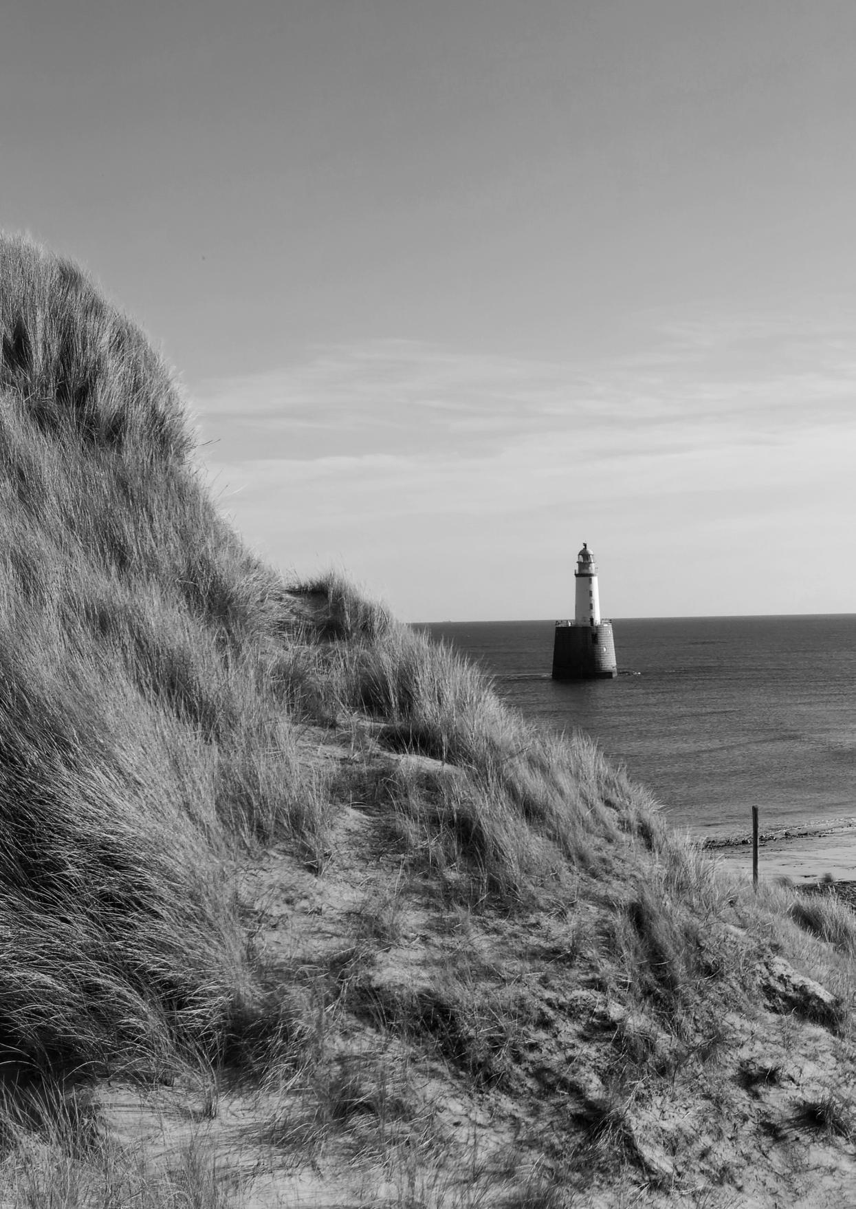
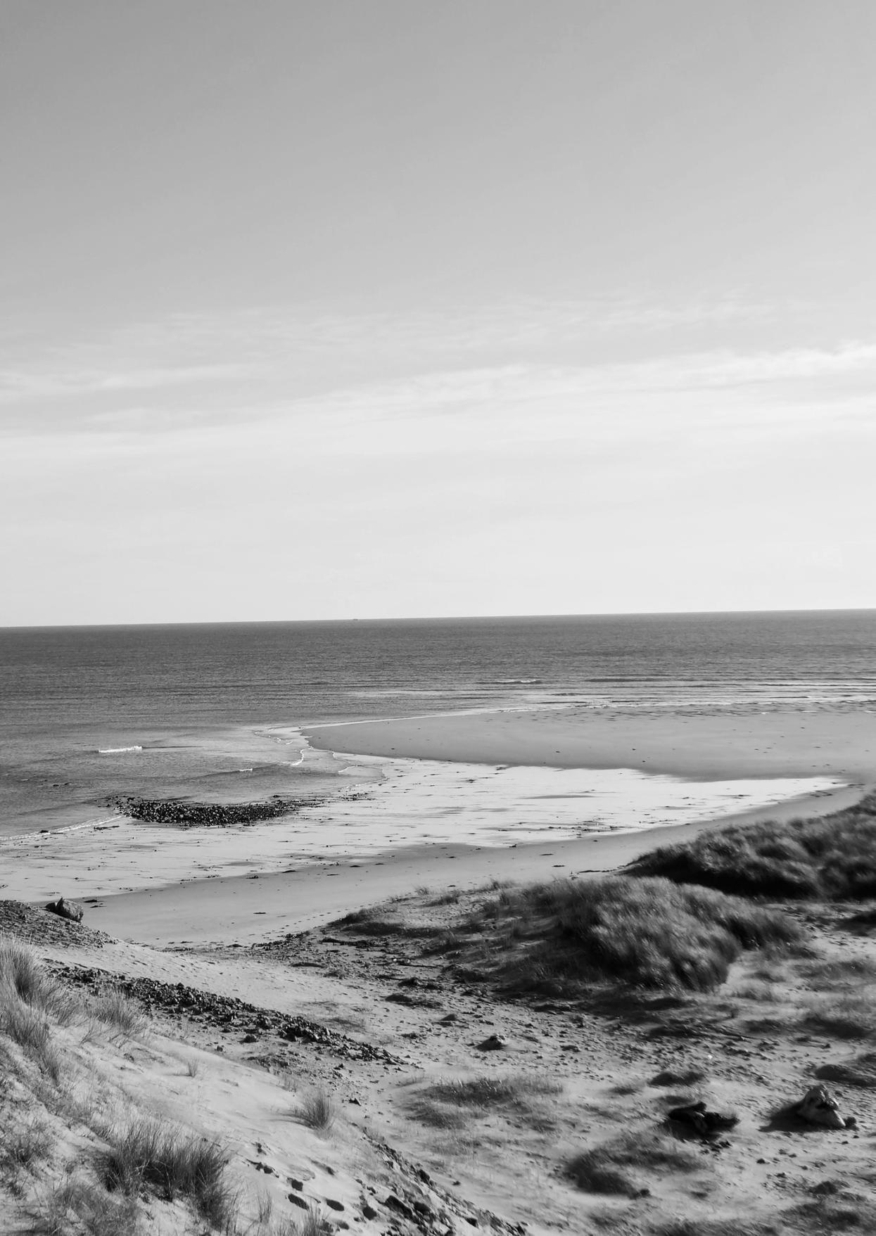
Here on the shore, where the waves ever sing, Where the seabirds hang, We deemed it safe, the sea o so near, The tides we hear, we need fear
Cliffs start to fall, the winds howling screams, Tears apart hopes and dreams. Calm that we knew, a fleeting grace, Extremes take away this place.
Reclaim now this land, by water and wind
The Battle of Sea and Land’ Can we remain, must we all flee, As shores fall into the sea
Is this a battle in which we believe Erosion lasts, t’will not cease The grips will breaK (and) the ground won’t hold, I’ll stay to save stories untold
Reclaim now this land, by water and wind
The Battle of Sea and Land’ Can we remain, must we all flee, As shores fall into the sea
By waning banks
The deep crying stays Our fate unrolls
The ocean draws near Its course well known Extremes rise to claim their throne
Reclaim now this land, by water and wind
The Battle of Sea and Land’ Can we remain, must we all flee, Where do we begin