2 minute read
A Lively Friesland
Wageningen University and Research Course: Studio - Regional Design
Fourth year, individual project
Advertisement
Friesland is a developing region of the Netherlands with many potentials and challenges. The essence of the Friesian landscape includes openness, flatness, dairy farming, water, and tiny villages. The province of Friesland has the vision to unlock the landscape’s full potential to attract more visitors and get more people to move here. Currently, many parts of it are perceived as empty and monotone, and the population of Friesland is aging. This design proposal suggests strategic interventions to increase the recreational qualities of the biking and hiking routes and expand the villages with more settlements. By implementing this plan in phases, the intention is to start a positive feedback loop where more visitors in the area stimulate more people to move here to start a business, a more lively and active landscape, even more visitors are attracted, and so on.
Context
Landscape characters
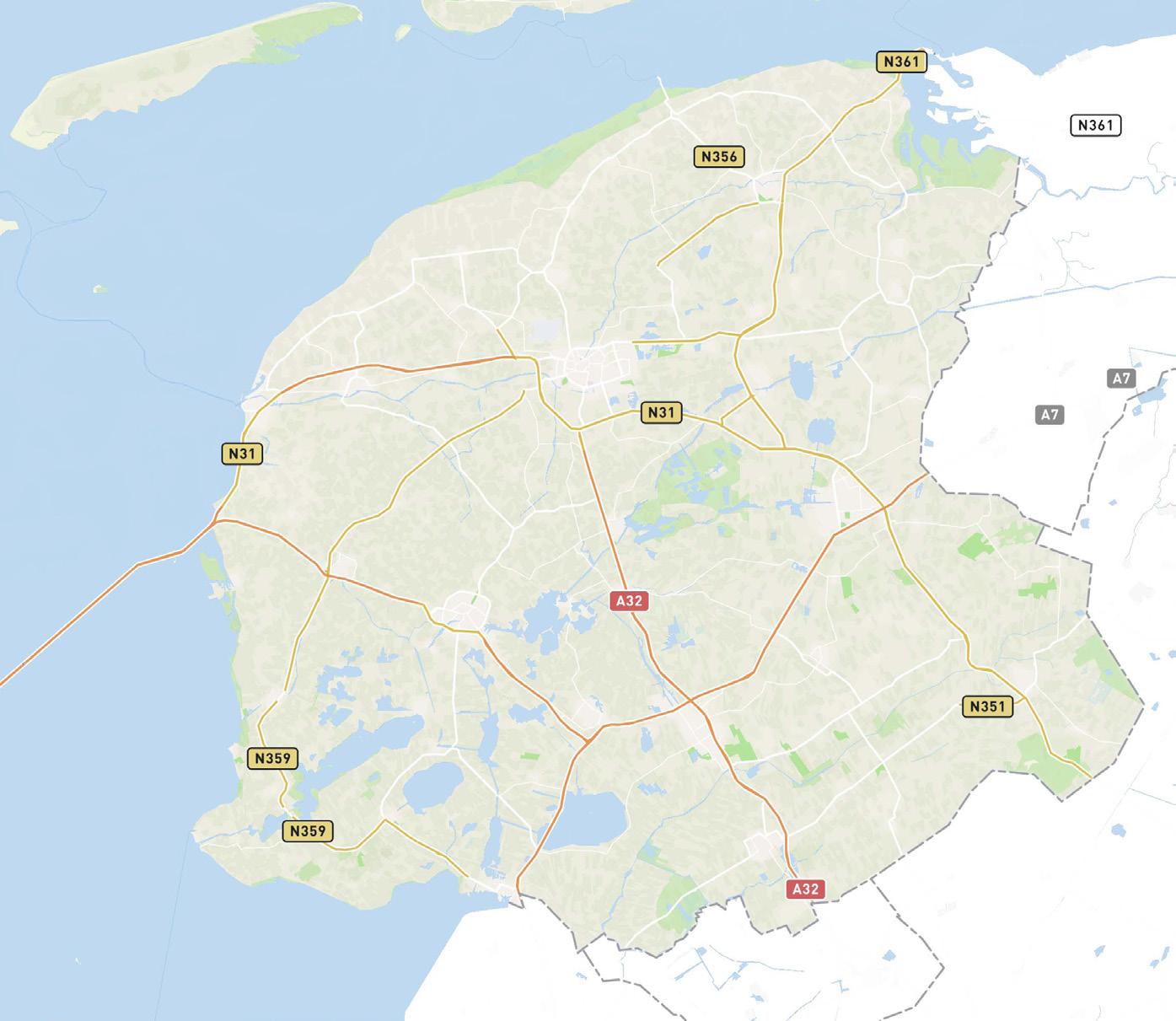
Friesland is a region in the north of the Netherlands, and the design area is located in the southwest of Friesland. The site is, with its many lakes and waterways, also known as the Waterland of Friesland. However, in most places, the lakes are hidden from the roads by reeds, and the name does not match the experience of moving through the landscape by bike or foot.
Settlement Network and points of interest Landscape
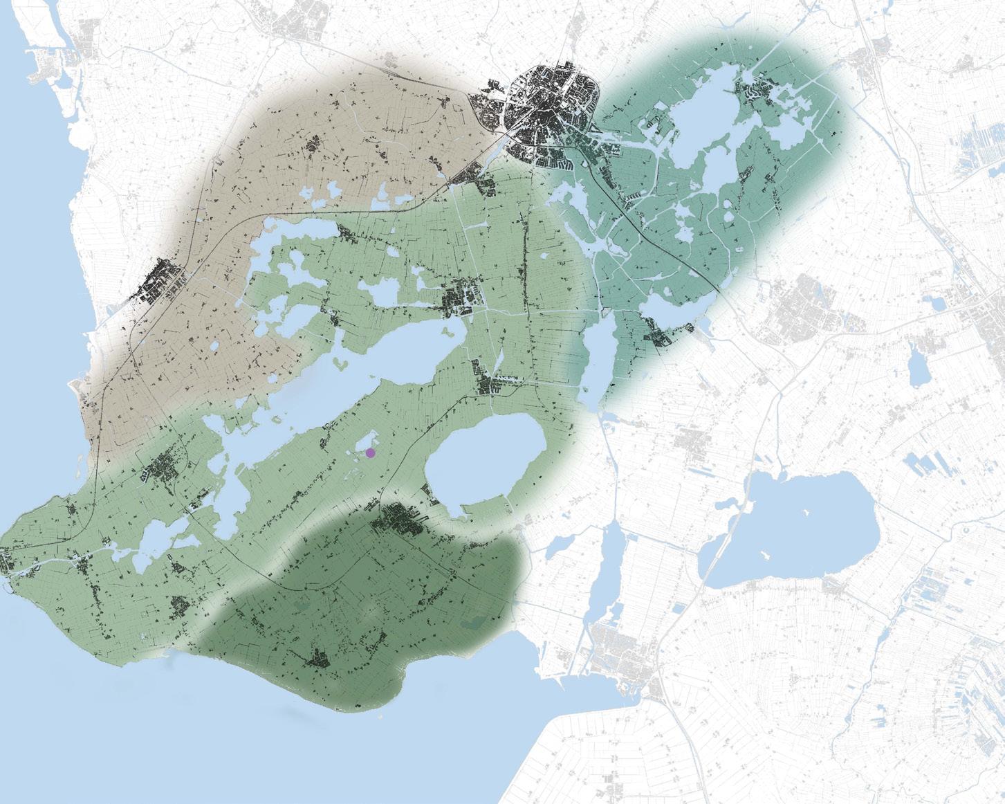
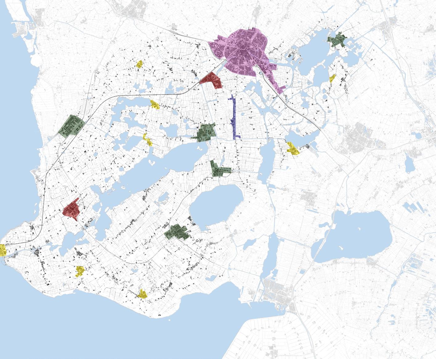
Inhabitants < 1000. No or very scarce service supply.
Inhabitants > 1000. Sufficient service supply, a lively node in the landscape.
Inhabitants > 1000. Underdeveloped service supply.
Inhabitants < 1000. No or very scarce service supply, close to the city.
Inhabitants > 30 000. Shortage of small apartments for young people.
Mainly clay and clay on peat, irregular parcel patterns, and curvy roads.
Open peat landscape with strict, rectangular parcels and straight roads. Acknowledged area for sailing due to the many waterways in the landscape.
Open peat landscape with strict, rectangular parcels and straight roads. Experienced monotone while biking.
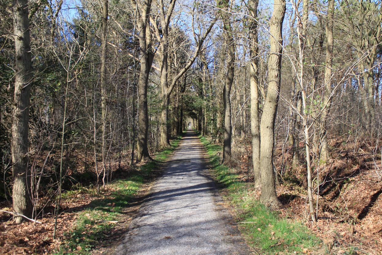
Semi-closed mosaic of mixed forest and open agricultural land on sandy soil.
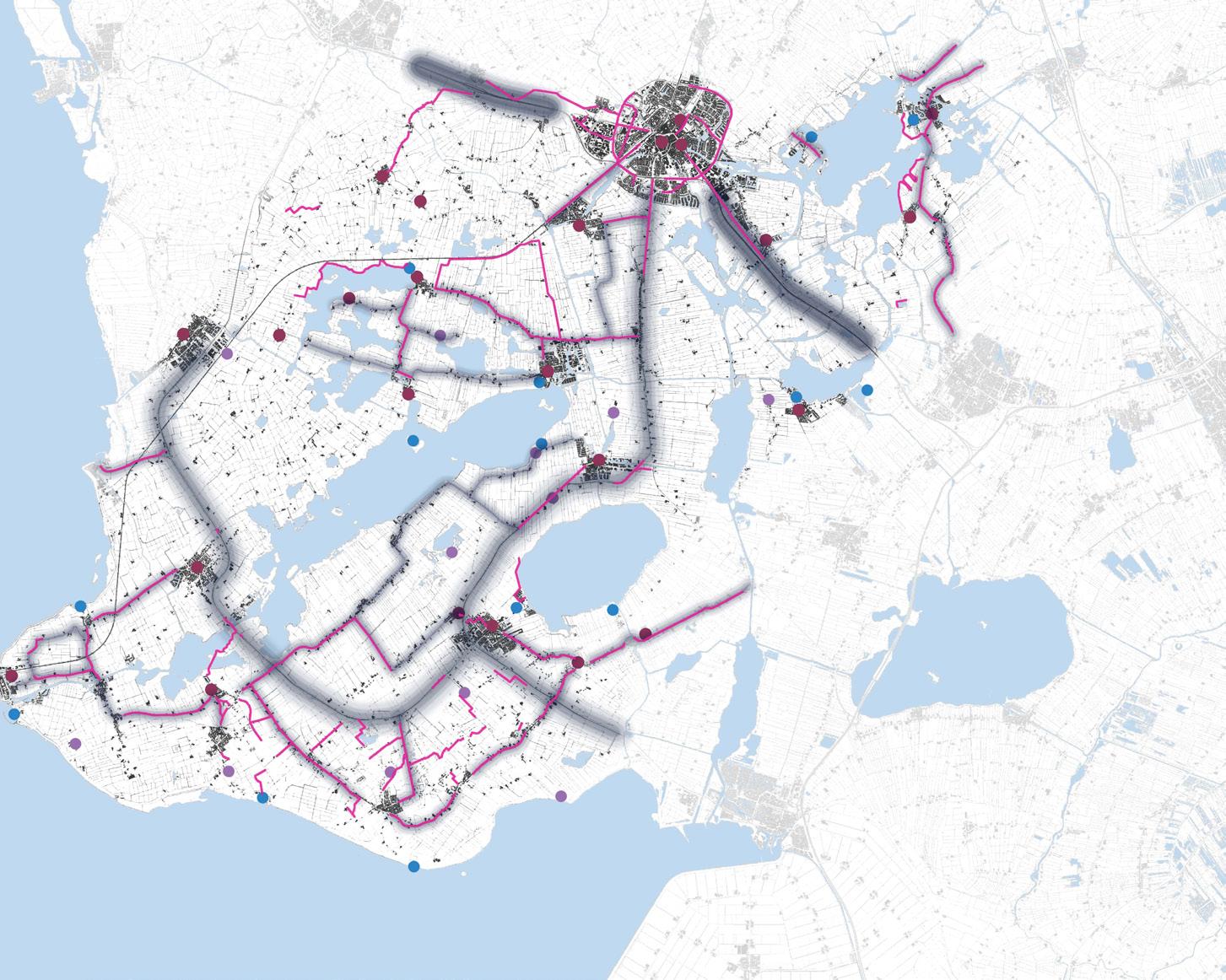
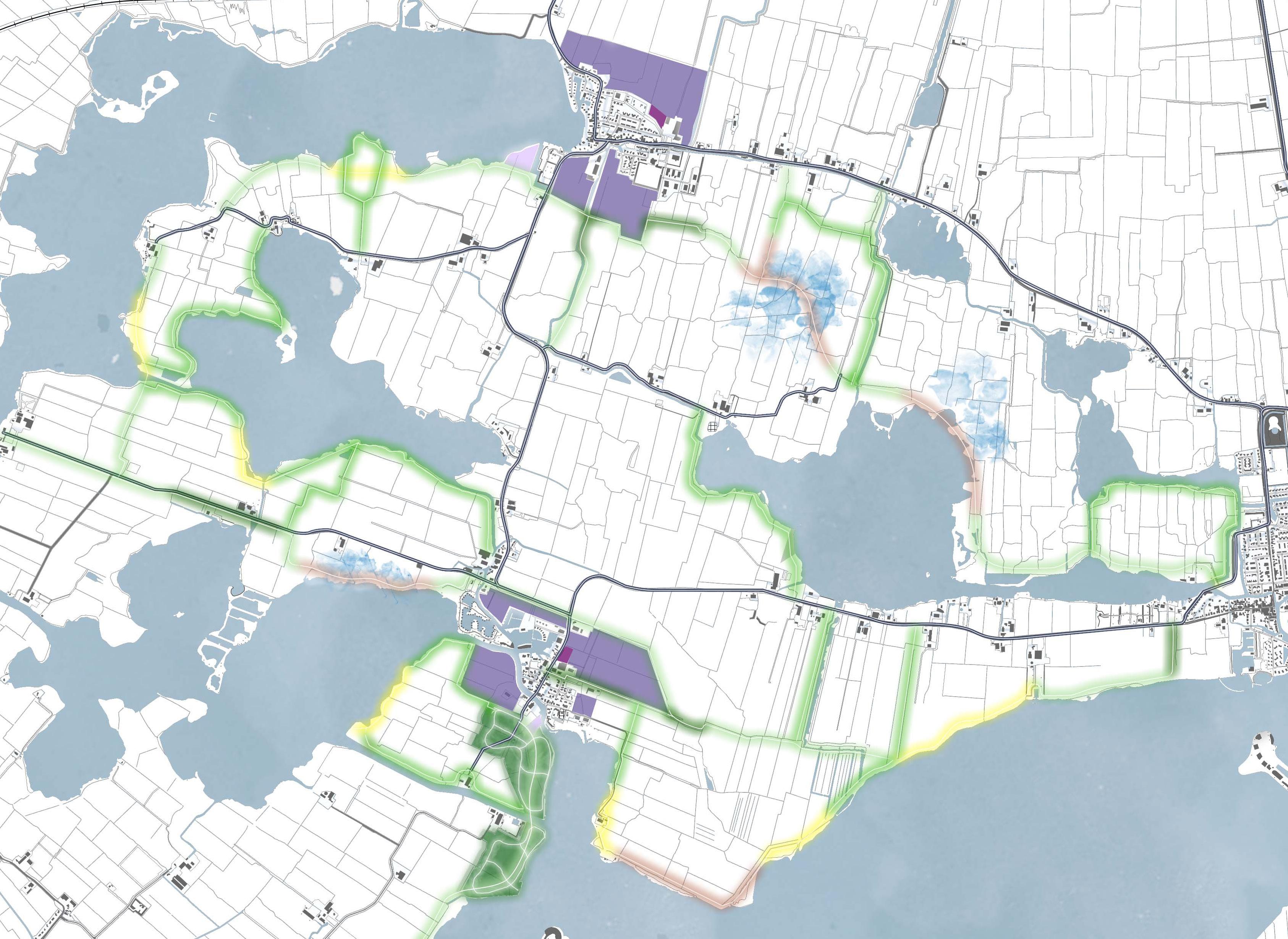
Car roads. The size of the fuzziness indicates the size of the road and the level of disturbance in terms of noise and movement in the landscape.
Biking paths in the landscape. Fragmented and recurringly located next to cars road. Failing to connect villages and places of interest.
Churches, serving as landmarks in the landscape.
Places of interest, including cultural heritage sites and activities.
Beaches
Water
Western open peat landscape
Forest-field mosaic
Semi-open clay landscape
Eastern open peat landscape
New forest
New apartment houses
New houses and row houses
Entrances
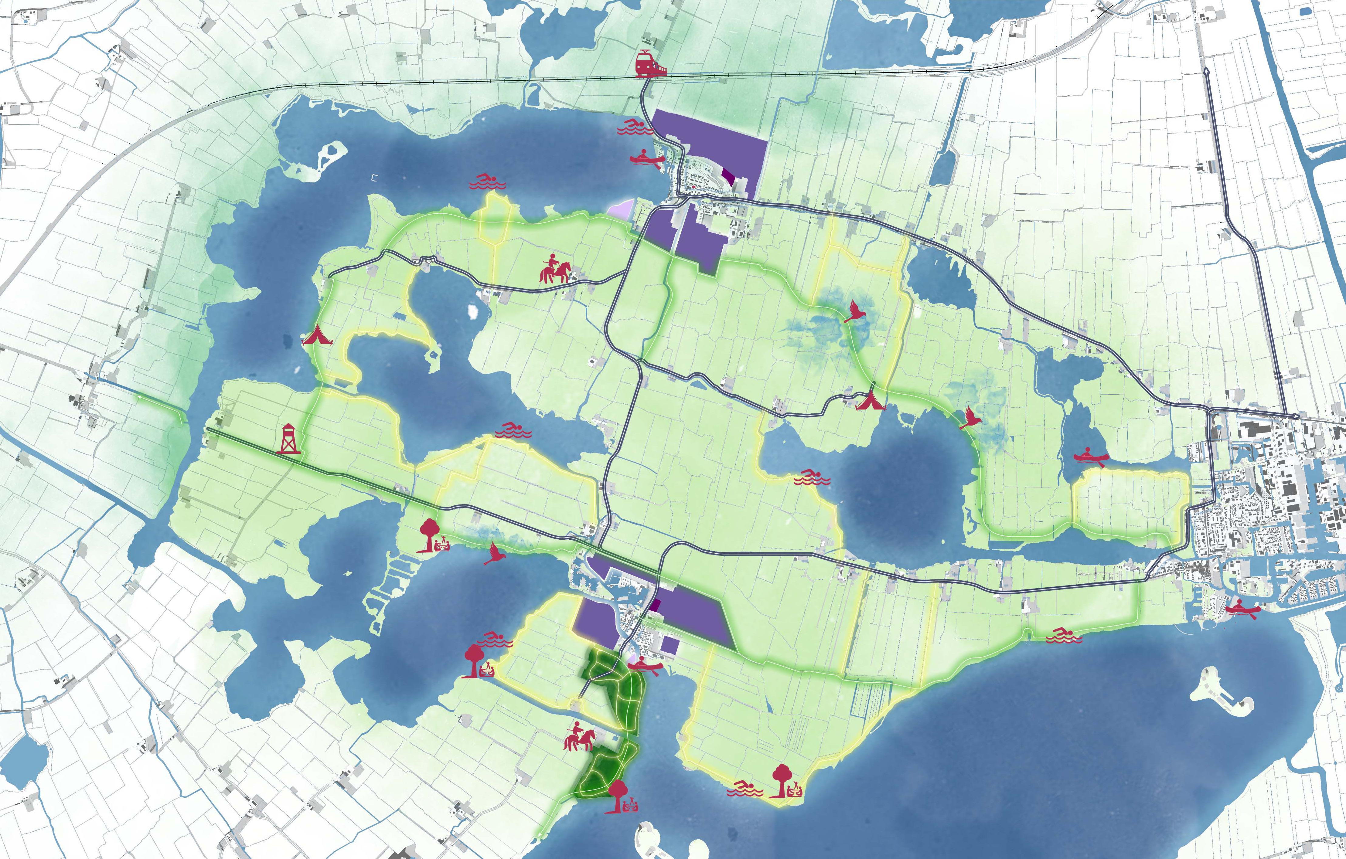
New biking paths
Sight towers
Area for detailed design
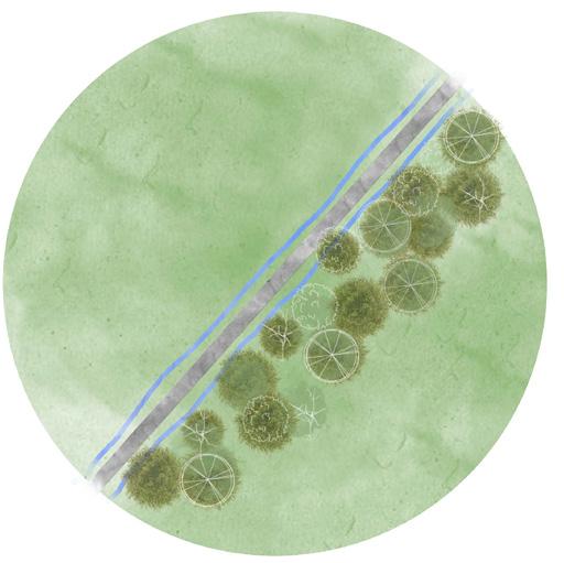
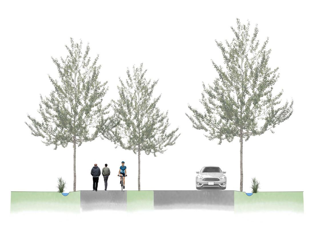
The characteristic curved roads, alleys, and vegetation Islands in the fields are increasingly emphasized by planting more trees.
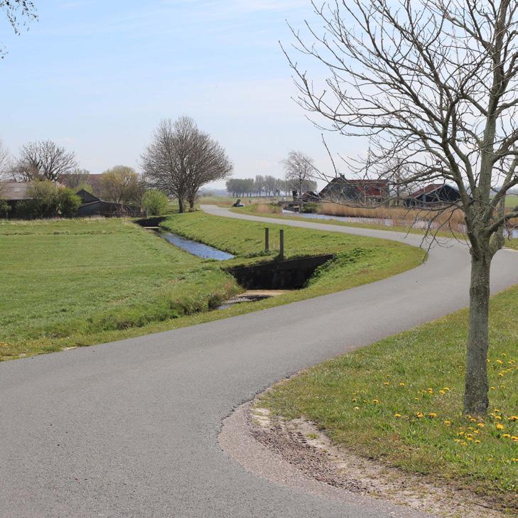
This part of the park is appreciated as it currently appears. Alleys, single trees, and groups are planted along monotone roads outside the
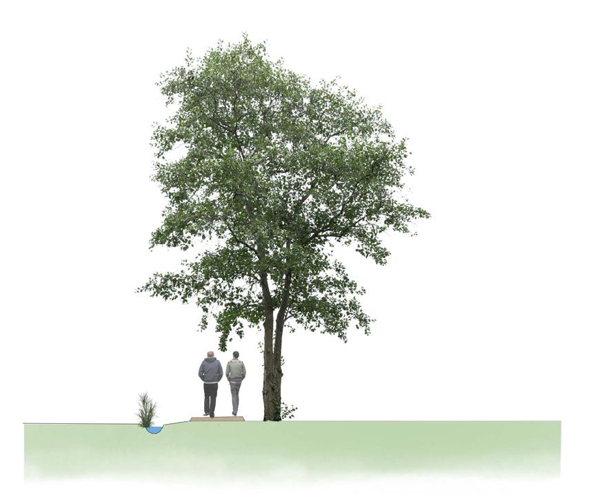
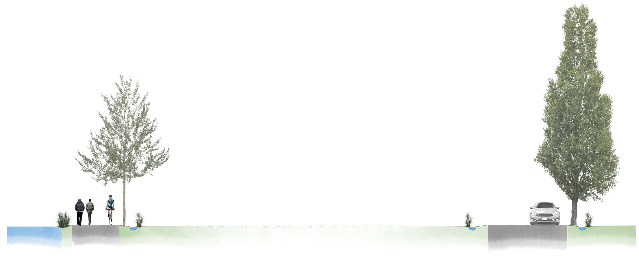
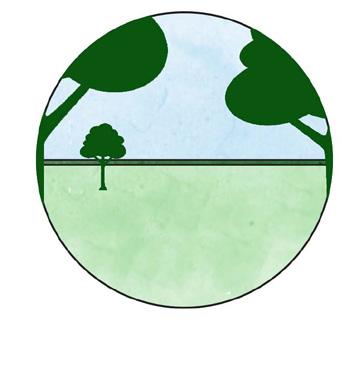
Conceptual cross-section showing how the openness of the landscape varies. The scale is not accurate.
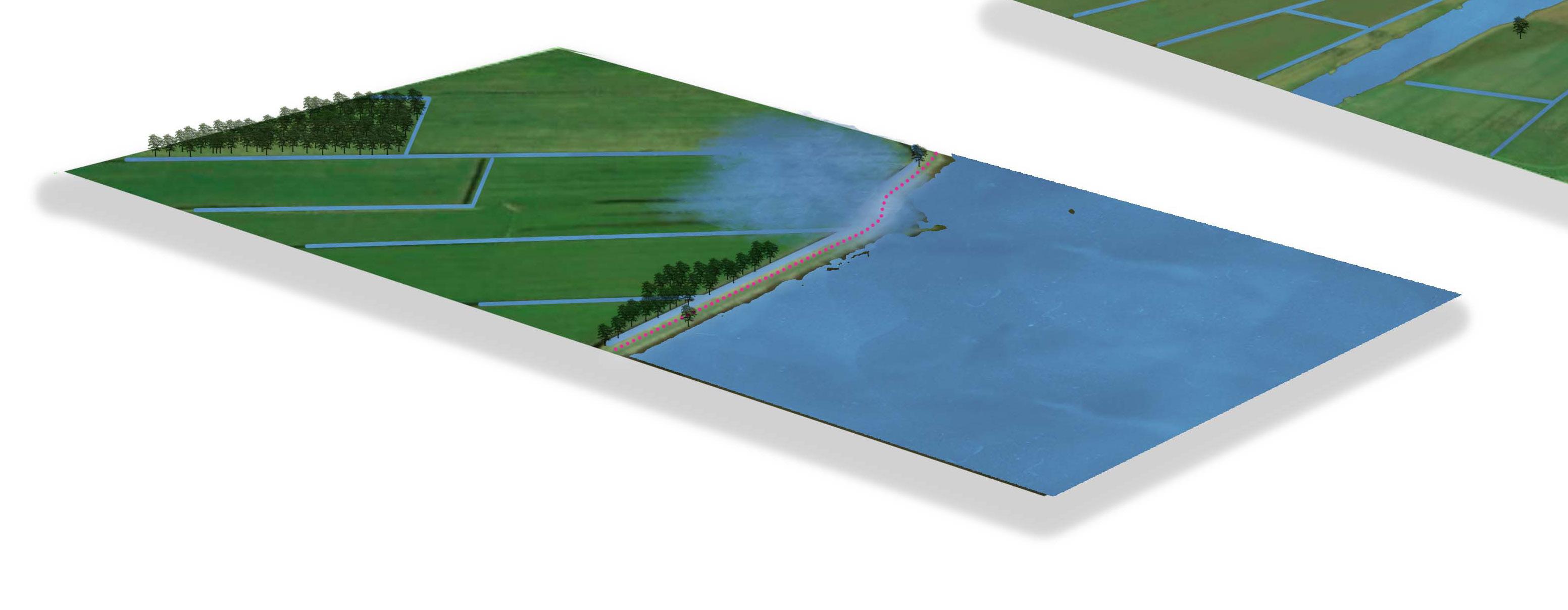
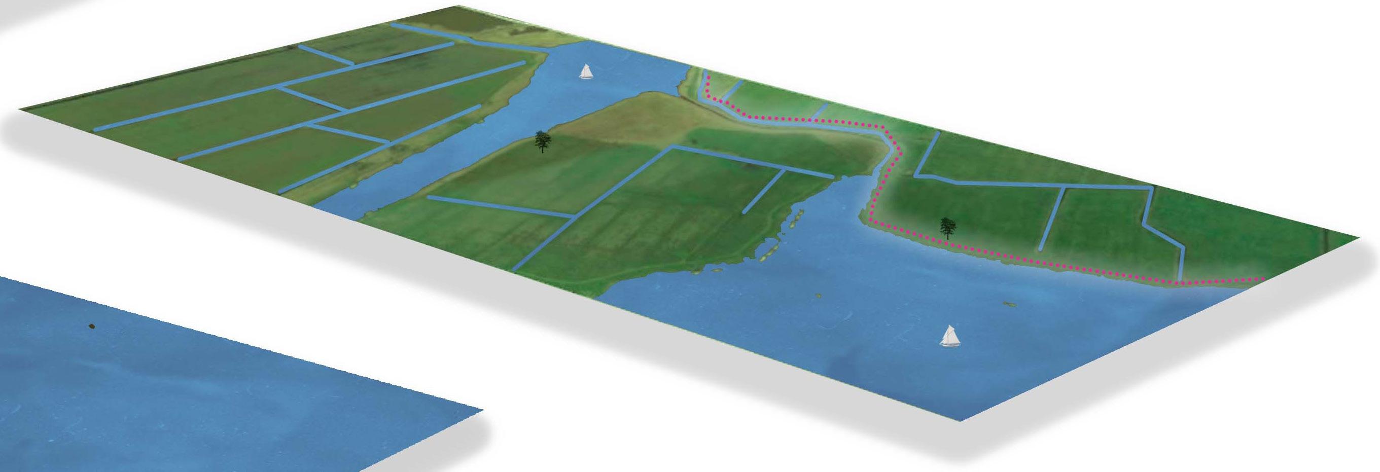
The open character of the peat landscape is preserved, and the waterways are prioritized over new biking paths. New vegetation is sparsely planted to not block the wind for sailing boats.
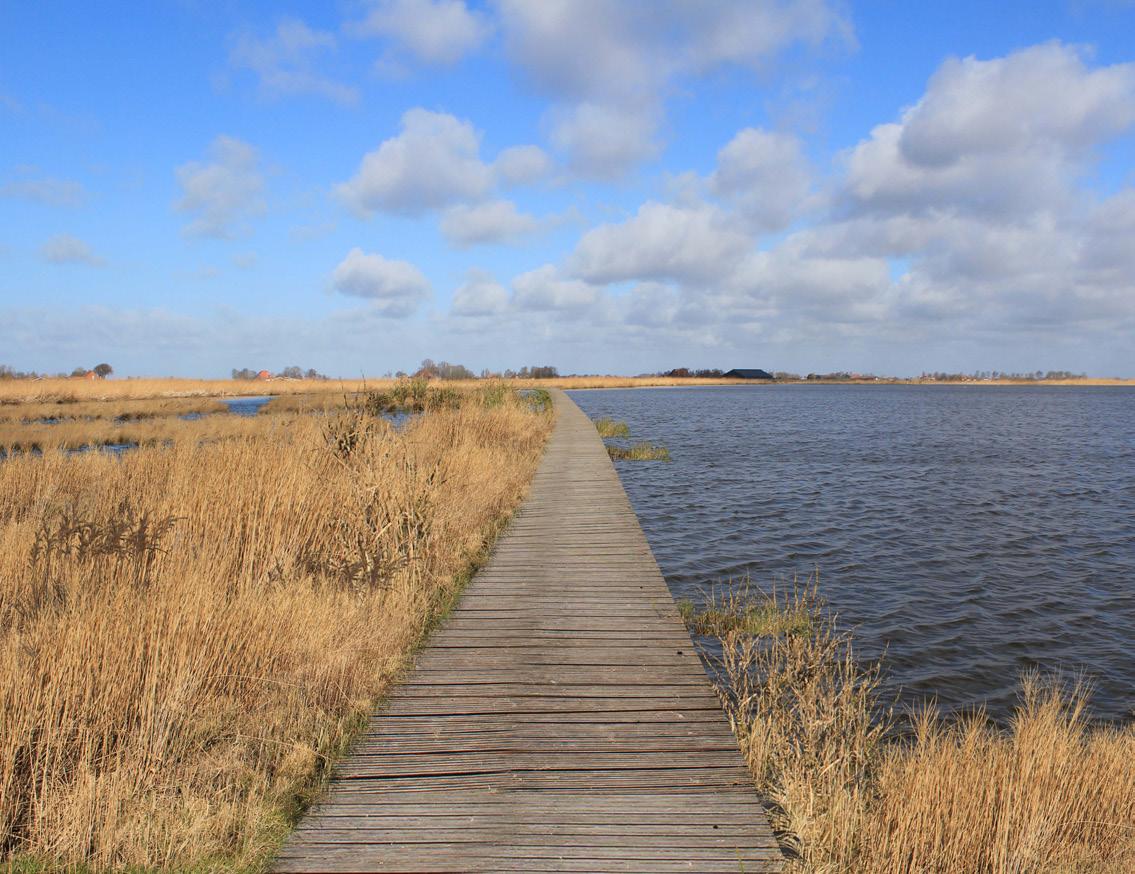
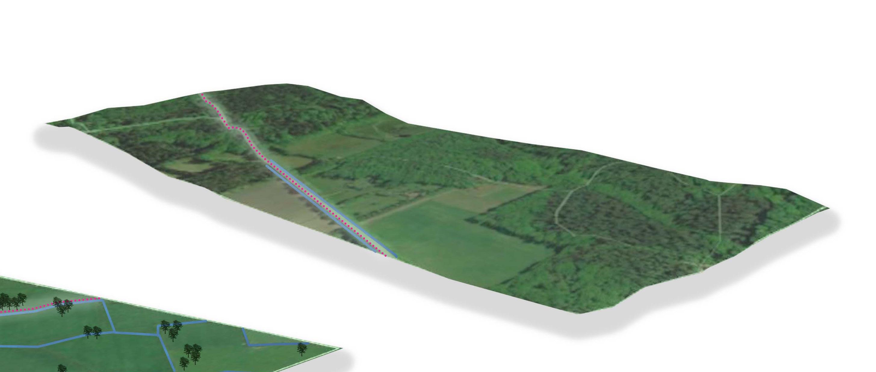
The open character of the peat landscape is perceived. Small patches of forest and rewetted areas are added along the biking paths, as well as trees and bushes in varying compositions to make the landscape more varied.

Biking paths
Walking paths
Existing roads
Houses and row houses
Apartment houses
Tiny houses
Open peat landscape
Semi-open clay landscape
New wet forest Water
Re-wetted area
New train station
Boat rental
Bird watching
Picknick spot
Sight tower Beach
Camping
Hoarse riding
B b A a
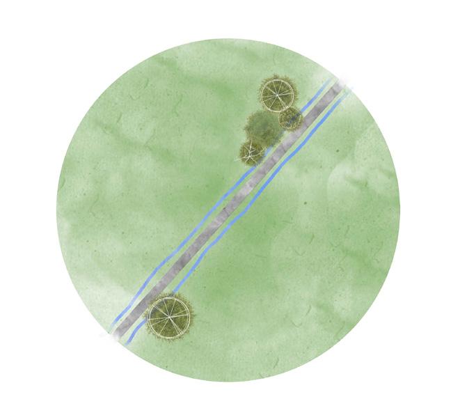
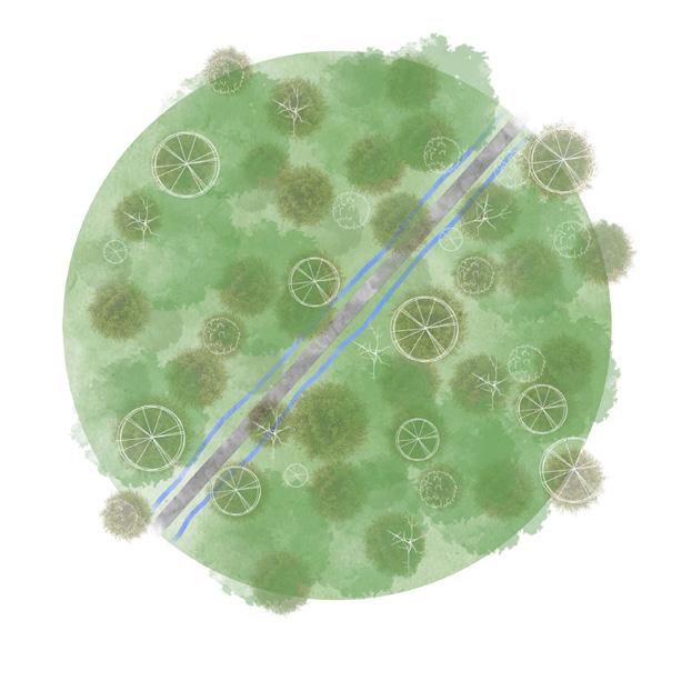
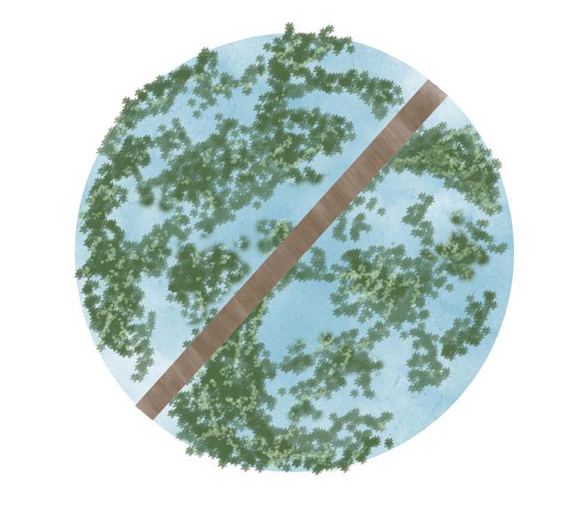
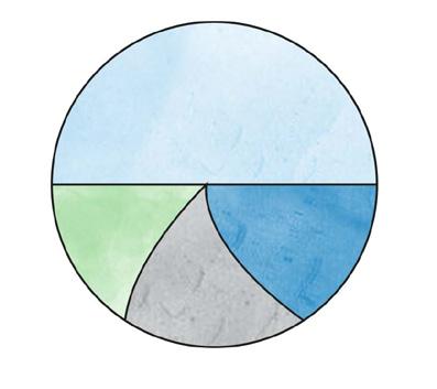
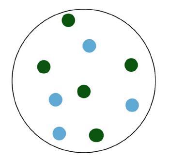
Plant new forests and re-wet agricultural land along the biking network in a small patch pattern. Recreational Routes C
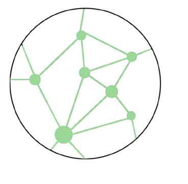
Compose the smallscale design interventions around the networks and nodes pattern.
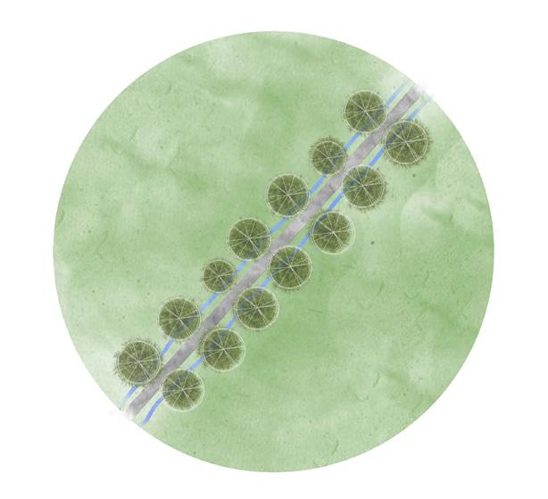
Use species significant for the area, like Alnus, Populus, Salix, Aesculus, Betula, Amelanchier, Sambucus, etc.
