3 minute read
Shop-top housing & commercial 6. Retail mix typical of coastal location (take-away, homewares, boutiques, surf shops)
LHD is the main thoroughfare and plays a crucial role in connecting these two areas with a railway bridge, providing vehicular access. Along with this, a railway footbridge at the Thirroul railway station also provides pedestrian access.
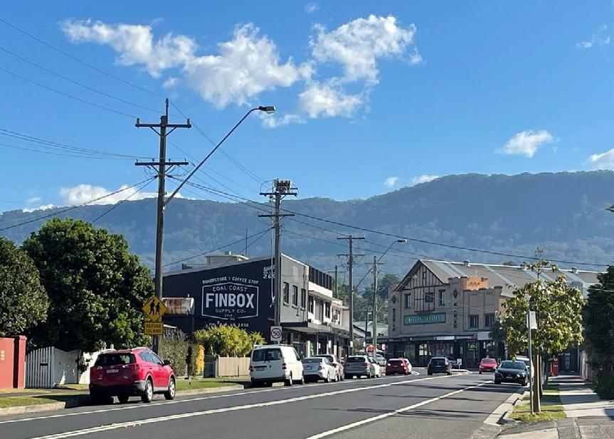
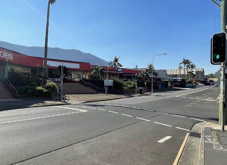
Lawrence Hargrave Drive is a significant coastal road and a popular tourist drive that provides a key travel route between Wollongong, its suburbs and Sydney. It ends in Thirroul and further meets Princes Highway at the Bulli pass. The existing character of the site, the Village Centre precinct, is an amalgamation of two contrasting natural scenic elements: escarpment to the west (known as Lady Fuller Park) and ocean to the east. The northern side of the study area is larger in size and is focal point for retail and community services within the suburb, whereas the southern side is comprised of mixed retail and community services with a compact character, and close proximity to the Thirroul railway station.
Advertisement
The site is also popular for its Cabbage tree palms. Although most have been diminished due to the development, some are still found along the escarpment. With close proximity to the beach and the village centre development, the site attracts a plethora of visitors in the form of tourists and locals.
Site Photos & Impression
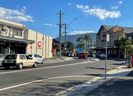
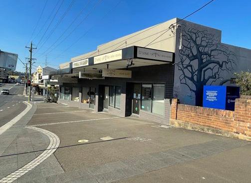
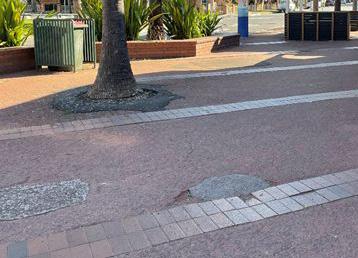
1. Imposing beauty of escarpment 2. Lack of linear view through entire township (surprise) 3. Disconnected township dissected by rail line and bridge 4. Commercial zone - mix of heritage and modern facades
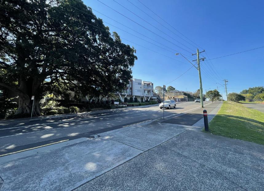
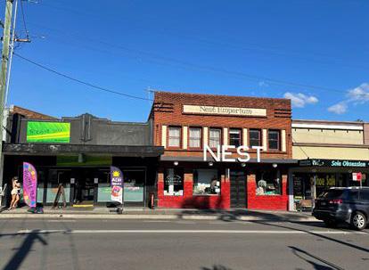
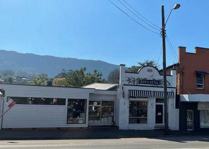
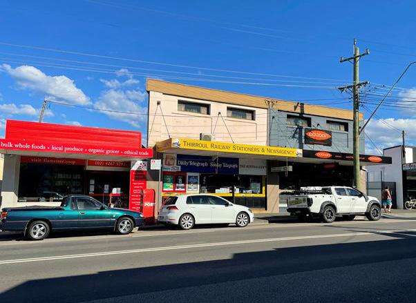
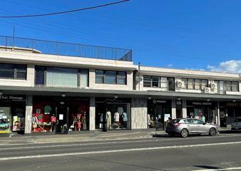
5. Shop-top housing & commercial 6. Retail mix typical of coastal location (take-away, homewares, boutiques, surf shops) 7. Lack of shade, inconsistent street trees (west side) 8. Sense of enclosure more dominant on eastern side of street 9. Degraded public domain
Historical Timeline
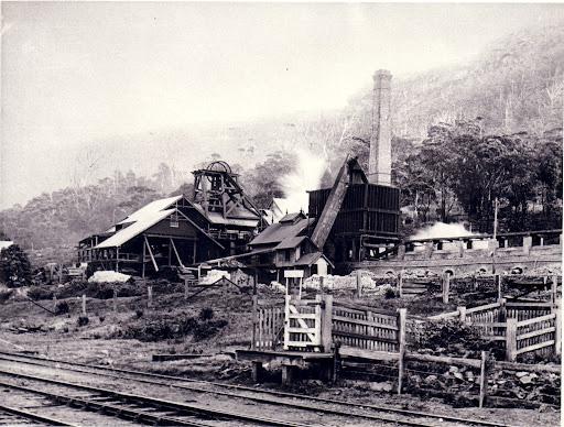
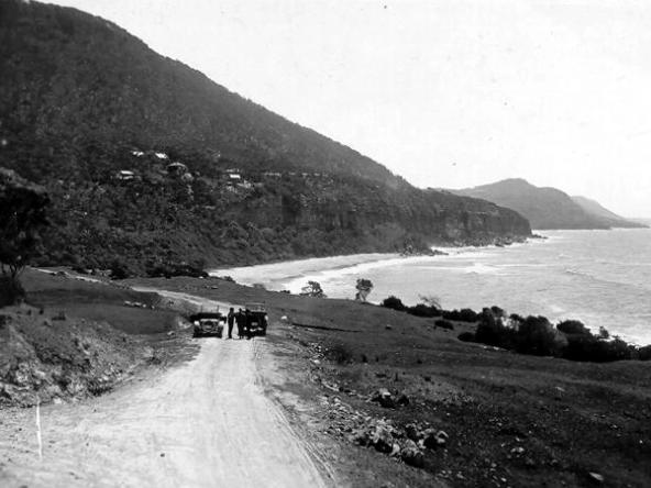
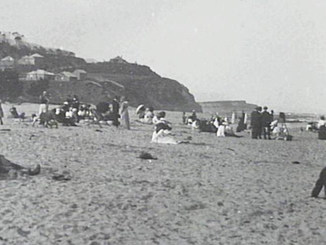
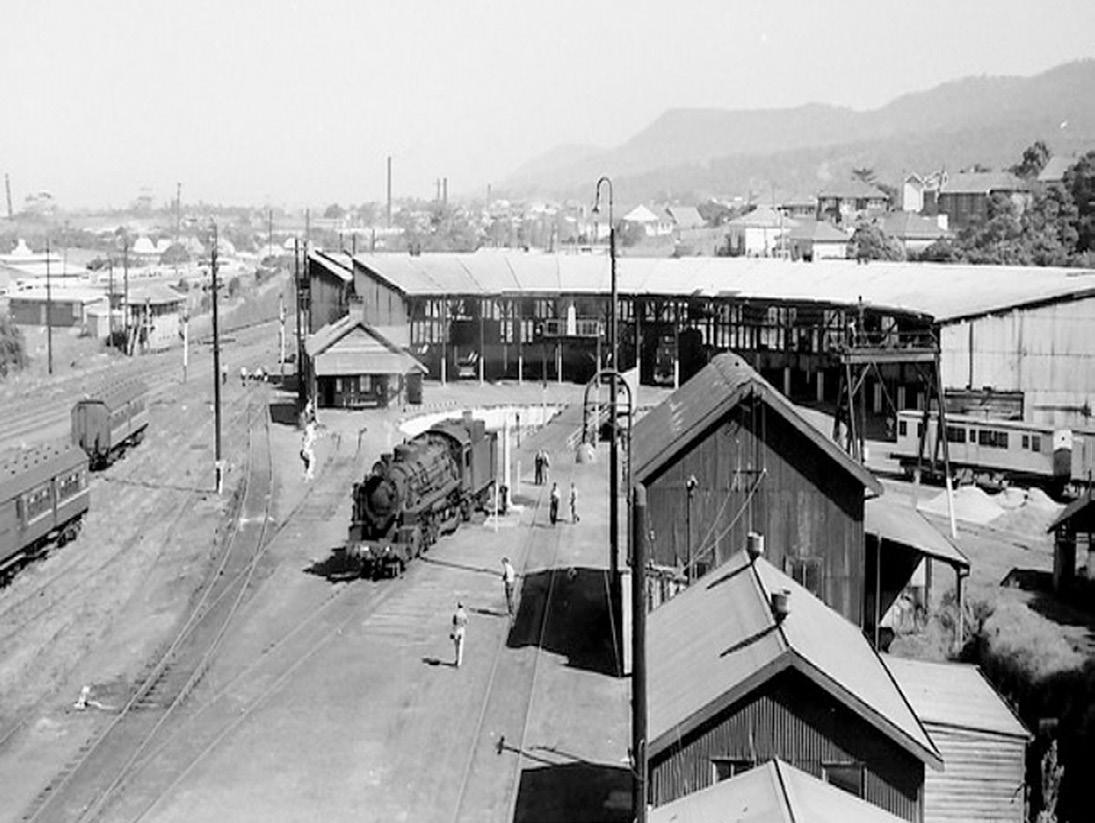
EARLY 1800s MID - LATE 1800s LATE 1800s EARLY 1900s
First Europeans settled in Thirroul. They worked as timber cutters and shipped logs to Sydney.
Charles Throsby started settlement in Thirroul by creating access through Bulli mountain.
Governor of Brisbane granted 3000 acres of land where Capt. Robert marsh Westmacott started brickwork, made routes & started the first coal mine. 1860s People started settling in what was then known as North Bulli.
1870s Lowercoast road was constructed. 1880 Named Robbinsville after Fredrick Robbins who owned land in the area. It became a popular beach holiday destination. Tourism was the first industry.
It was the only place with hotel accommodation after the railway line opening. It got its first post office and school. Land subdivision occurred. Many people from Sydney purchased land and built holiday cottages.
Renamed as THIRROUL. The railway services increased visitors.
1888
1892 1914
1917
1919 Golf course opened.
The railway depot and marshalling land opened. Railway line was duplicated which encouraged even more guesthouses.
Construction of Vulcan firebrick company caused pollution. Railway deport made the resort feel of the town look degraded. Thirroul started losing its tourists.


