6 minute read
Mapping Reefs For Ocean Stewardship

Text by Serena Lucrezi
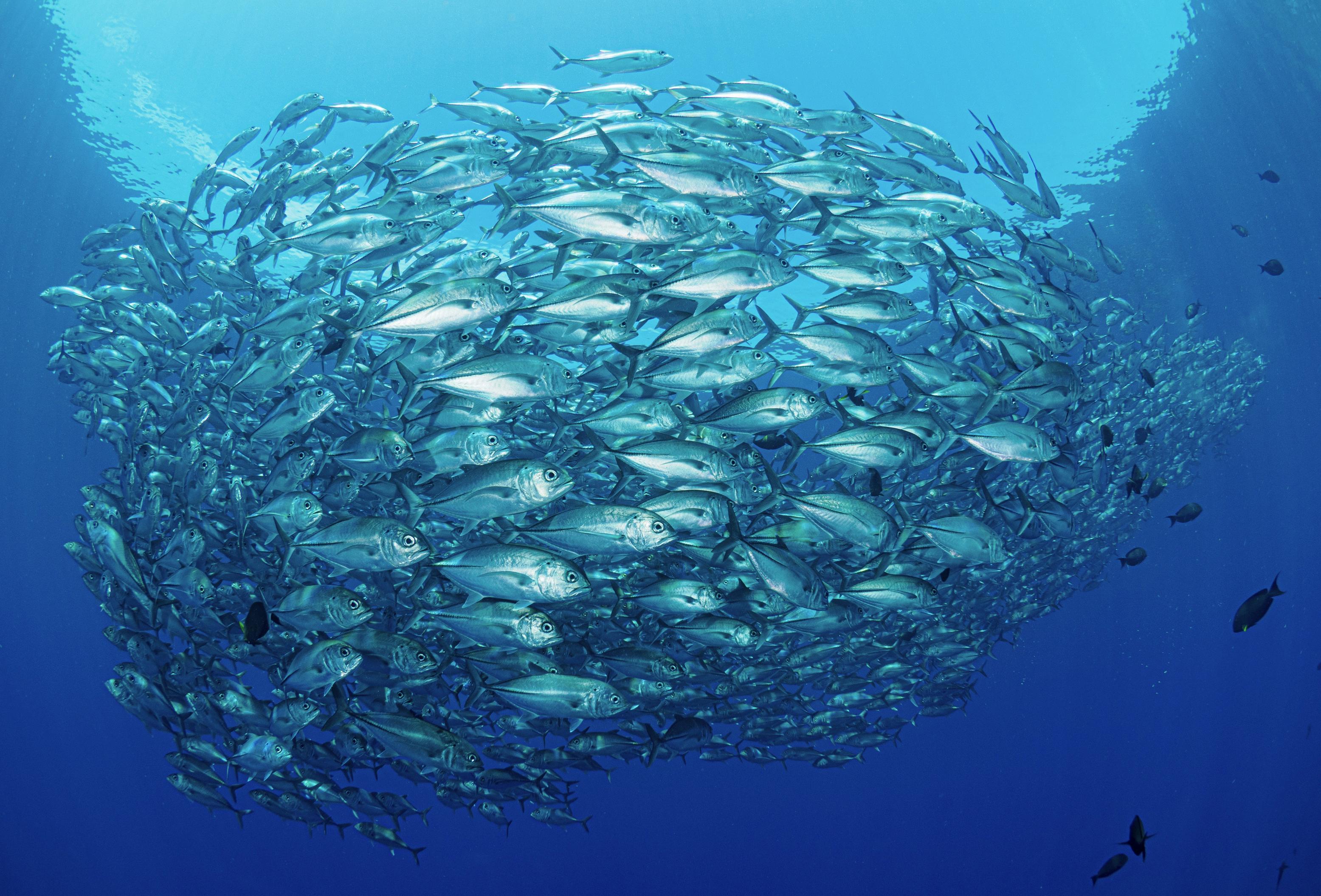
The diving industry is evolving, thanks to new technological advancements and the accessibility of dive locations around the world. When we dive, we focus on enjoying the beauty of nature and feeling free, but we also acknowledge the fragility of the underwater world. Threats to our oceans like climate change, overfishing and overtourism are mounting, and what we see now could one day be gone. While we may feel helpless, the scientific world has called us to be proactive. Participatory research, or citizen science, has become a commonly used term within the diving community 1. It involves divers helping scientists collect data, monitoring dive sites, and collaborating with authorities to implement management strategies and improve conservation. While this seems exciting, the industry is often stuck between a rock and a hard place because there is no time, no manpower, and business operations must keep going. But what if there was a way around that?
REEF MAPPING: BLENDING FUN, SCIENCE, MONITORING AND CONSERVATION
When thinking of mapping a reef, you may be thinking of divers spending days with tape measures and quadrants, struggling against the currents to measure the reef inch by inch. But what if all you need is a GoPro, a frame to mount it on, a few small metric references, and your buddy? With these tools, you can map a small reef in a single dive. And generate 3D maps that can show you details at the species level, thanks to photogrammetry 2. 3D mapping has become just as easy as it is important 3. Reefs are increasingly under stress from bleaching episodes, extreme weather events, and other pressures. It is urgent to establish baselines so that reefs can be monitored for change over time. Marine protected areas, which most SCUBA diving is centred on, can greatly benefit from 3D reef maps. These maps can be used in management plans to identify vulnerable areas and assist with zoning and environmental monitoring. Scientists can deploy 3D reef maps to assess the severity of different phenomena, such as coral bleaching, on local to global scales. And the diving industry? How do 3D reef maps benefit the industry?
When you participate in a pre-dive briefing, you may be lucky enough to see photos of the reef or a video. Sometimes you can see a beautifully drawn or painted map. But most times, you need to exercise your imagination to visualise what to expect. 3D maps can become a tool to showcase the structure, beauty and challenges of a dive site long before the dive. They can be used by dive guides to show you the size and characteristics of the reefs, where you will go, how you will navigate, and what to look out for to be safe. You can zoom in and out of a 3D reef map, you can rotate it, and you can see it in all its particulars. Thus, 3D maps are not simply a scientific, managerial and conservation tool. They can be a marketing and educational tool. Getting involved in 3D mapping is something that should interest the diving industry, including dive centres.
The diving industry can still be challenged by time constraints or a lack of resources to create 3D reef maps. This is when collaborations with the scientific community and tourism experts become essential, and certainly useful. Scientists have been more than happy to share and pass their knowledge to the diving community through capacity building, and reef mapping is no different. Tourism experts have been studying strategies to attract a new scientific tourism market. Mapping can become a speciality course, or a way to bring divers together to create something they can view and take credit for.
A SUCCESS STORY: 3D MAPPING WORKSHOP IN PONTA DO OURO, MOZAMBIQUE
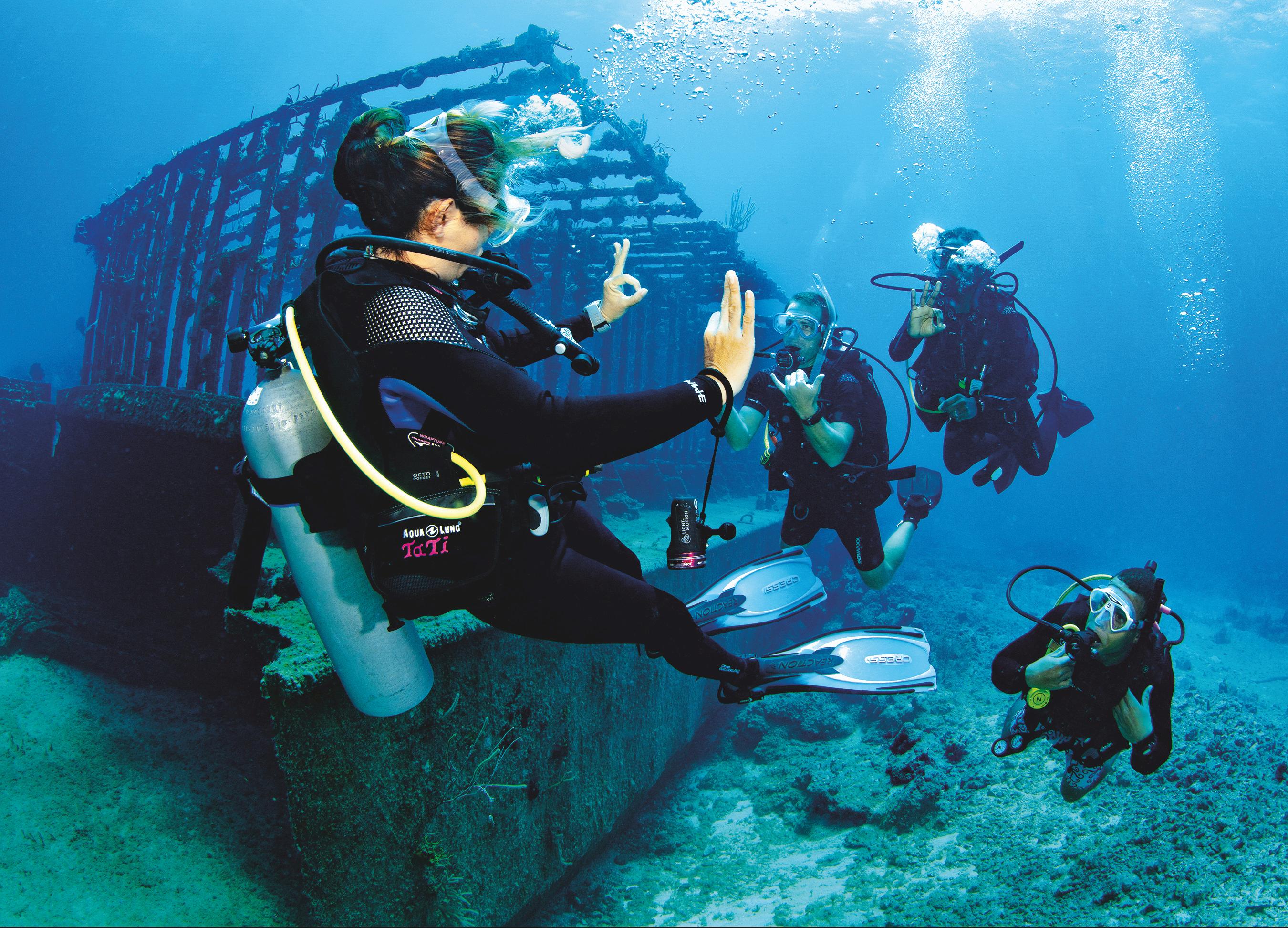
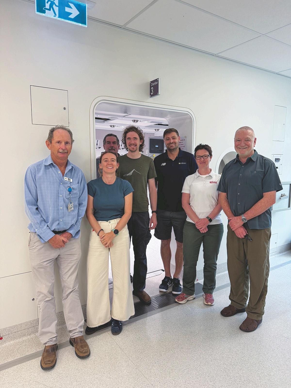
In 2025, scientists from TREES (Tourism Research in Economics, Environs and Society) at the North-West University in South Africa partnered with DiSVA (Department of Life and Environmental Sciences) at the Polytechnic University of Marche in Italy to launch a 3D mapping project funded by the National Research Foundation of South Africa (NRF). This project aimed to prove that 3D mapping skills can be easily and cost-effectively shared with the diving industry. The Ponta do Ouro Partial Marine Reserve in the Maputo National Park (now a UNESCO World Heritage Site) was selected for this initiative. Members of the local diving industry in Ponta do Ouro participated in a one-week workshop, hosted by the Gozo Azul dive centre, where they learned how to generate 3D maps of several reefs. The result was incredible. A total of four buddy pairs mapped eight dive sites in one week, each buddy pair using a simple PVC-pipe frame with two mounted GoPros and four metric references. Data collected with the cameras were transformed into maps using a user-friendly software. By gently moving in a zigzag pattern (or a spiral pattern in the case of more vertical reefs), divers could generate ortho-mosaics using overlapping GoPro images.
WHAT IS NEXT?
3D reef mapping can be a versatile tool for monitoring, management, education, marketing, involvement and ultimately, ocean stewardship. The Ponta do Ouro 3D mapping workshop was an experience that the industry members enjoyed and made them feel empowered. Some want to share their new skills with other divers and make them part of professional training. But what is the way forward? Capacity building should be followed by ownership, where the diving industry can correctly exploit the skills acquired under the guidance of scientists. Dive centres need support in creating products and offerings that can grow a community of interested divers who want to contribute. In the case of 3D reef mapping, diving professionals can benefit from the help not only from scientists, but also from agencies, park authorities, and organisations. Diving industry stakeholders are a community, and only a cohesive community can achieve big objectives.
CITATIONS
1. Coppari, M., Roveta, C., Di Camillo, C., Garrabou, J., Lucrezi, S., Pulido Mantas, T., & Cerrano, C. (2024). The pillars of the sea: strategies to achieve successful marine citizen science programs in the Mediterranean area. BMC Ecology and Evolution, 24(1), 100. https://doi.org/10.1186/s12862-024-02289-0
2. Pulido Mantas, T., Roveta, C., Calcinai, B., di Camillo, C. G., Gambardella, C., Gregorin, C., ... & Cerrano, C. (2023). Photogrammetry, from the land to the sea and beyond: A unifying approach to study terrestrial and marine environments. Journal of Marine Science and Engineering, 11(4), 759. https://doi.org/10.3390/jmse11040759
3. Palma, M., Rivas Casado, M., Pantaleo, U., & Cerrano, C. (2017). High resolution orthomosaics of African coral reefs: A tool for wide-scale benthic monitoring. Remote Sensing, 9(7), 705. https://doi.org/10.3390/rs9070705